Strasbourg: what to see and where to eat
Everything below comes from open data and each row says where it came from. We have not been to any of these places and we do not rank them.
Filters
Things to see
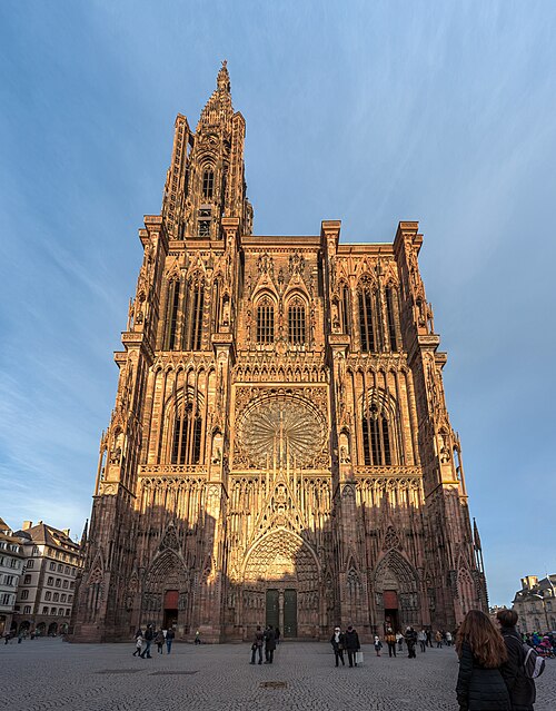 catholic cathedral
Cathedral of Our Lady of Strasbourg
cathedral located in Bas-Rhin, in France
Getting there Nearest stop or station Dépose bus Parc de l'Etoile, about 14 min on foot OpenStreetMap
de:Benutzer:FloSch / CC BY-SA 3.0
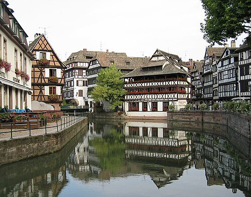
river islandGrande Île, Strasbourg
island in Bas-Rhin, France
Getting there Nearest stop or station Gare de Strasbourg, about 16 min on foot OpenStreetMap
 art museum
Musée des Beaux-Arts de Strasbourg
museum in Strasbourg, France
Getting there Nearest stop or station Dépose bus Parc de l'Etoile, about 12 min on foot OpenStreetMap
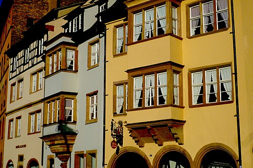
Claude TRUONG-NGOC / CC BY-SA 3.0
museumMusée alsacien
museum
Getting there Nearest stop or station Dépose bus Parc de l'Etoile, about 9 min on foot OpenStreetMap
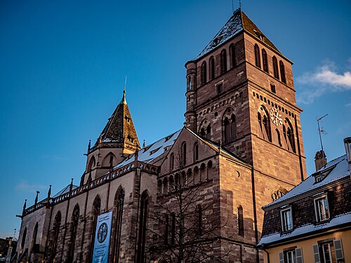
Yann Caradec from Paris, France / CC BY-SA 2.0
church buildingSaint Thomas Church, Strasbourg
church located in Bas-Rhin, in France
Getting there Nearest stop or station Dépose bus Parc de l'Etoile, about 14 min on foot OpenStreetMap
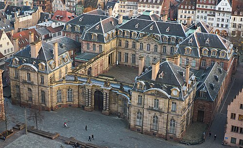
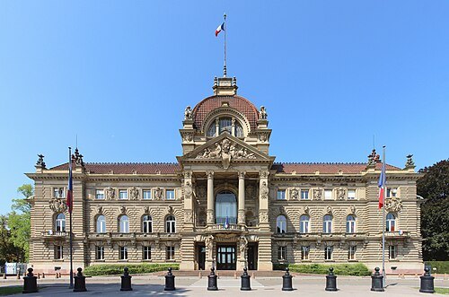
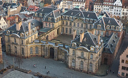 city palace
Palais Rohan, Strasbourg
18th-century palace, home of MBAS, MADS, and MAS
Getting there Nearest stop or station Dépose bus Parc de l'Etoile, about 12 min on foot OpenStreetMap
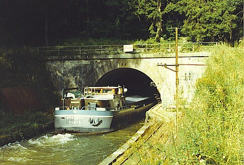
The original uploader was Boerkevitz at French Wikipedia. / CC BY-SA 3.0
© Ralph Hammann - Wikimedia Commons / CC BY-SA 4.0
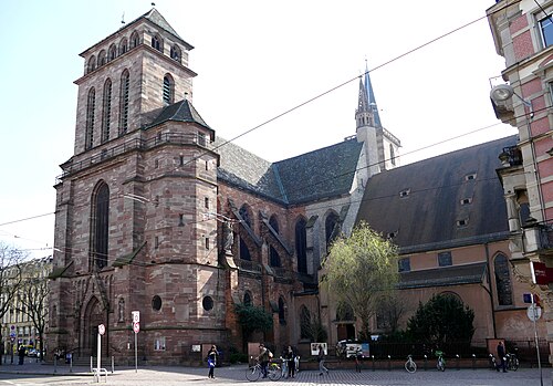
church buildingOld Saint Peter's Church, Strasbourg
church located in Bas-Rhin, in France
Getting there Nearest stop or station Gare de Strasbourg, about 8 min on foot OpenStreetMap
Yann Caradec from Paris, France / CC BY-SA 2.0
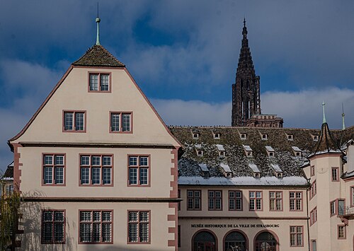
history museumStrasbourg Historical Museum
museum in Strasbourg
Getting there Nearest stop or station Dépose bus Parc de l'Etoile, about 11 min on foot OpenStreetMap
Robert Cutts from Bristol, England, UK / CC BY 2.0
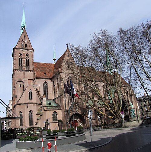
church buildingSaint-Pierre-le-Jeune Protestant Church
Lutheran church building in Strasbourg, France
Getting there Nearest stop or station Gare de Strasbourg, about 14 min on foot OpenStreetMap
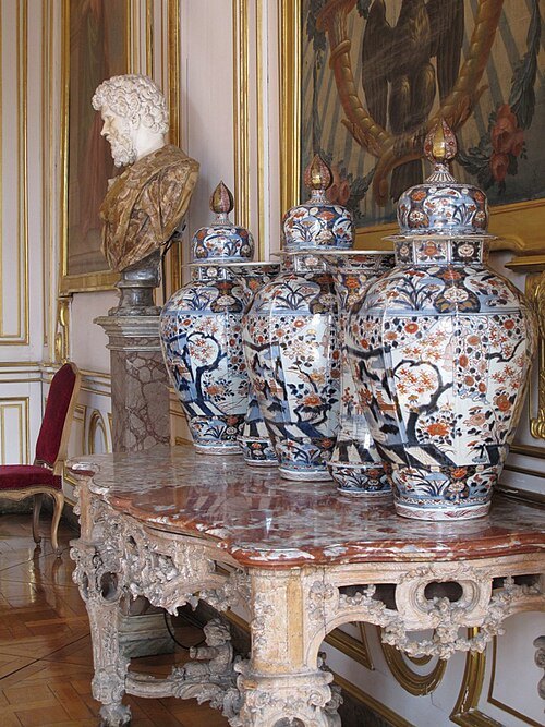 art museum
Musée des Arts décoratifs de Strasbourg
museum dedicated to decorative arts in Strasbourg, France
Getting there Nearest stop or station Dépose bus Parc de l'Etoile, about 12 min on foot OpenStreetMap
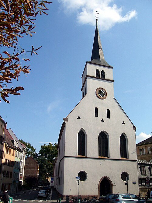 church building
Saint William's Church
church located in Bas-Rhin, in France
Getting there Nearest stop or station Dépose bus Parc de l'Etoile, about 14 min on foot OpenStreetMap
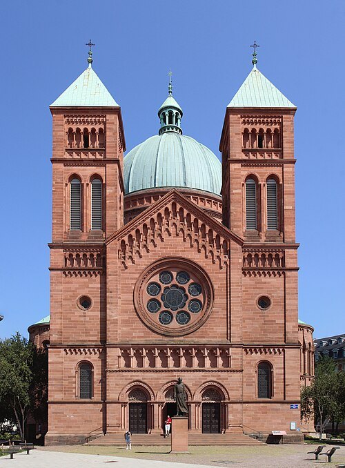 catholic church building
Saint-Pierre-le-Jeune Catholic Church
Romanesque Revival church in Strasbourg, France
Getting there Nearest stop or station Gare de Strasbourg, about 18 min on foot OpenStreetMap
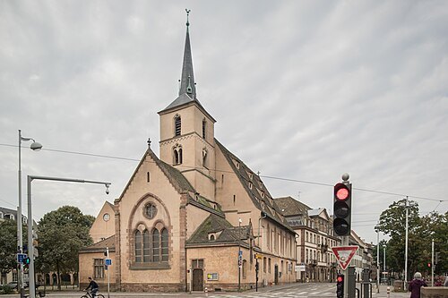
Pedro J Pacheco / CC BY-SA 4.0
church buildingSaint-Nicolas Church
church in Strasbourg, France
Getting there Nearest stop or station Dépose bus Parc de l'Etoile, about 10 min on foot OpenStreetMap
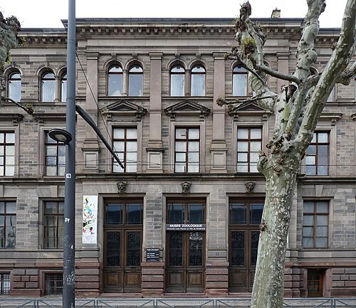 zoological museum
Musée zoologique de la ville de Strasbourg
musée de France
Getting there Nearest stop or station Dépose bus Parc de l'Etoile, about 19 min on foot OpenStreetMap
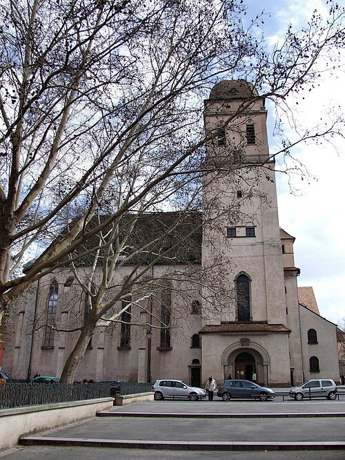
Robert Cutts from Bristol, England, UK / CC BY 2.0
church buildingSainte-Madeleine Church
church in Strasbourg
Getting there Nearest stop or station Dépose bus Parc de l'Etoile, about 10 min on foot OpenStreetMap
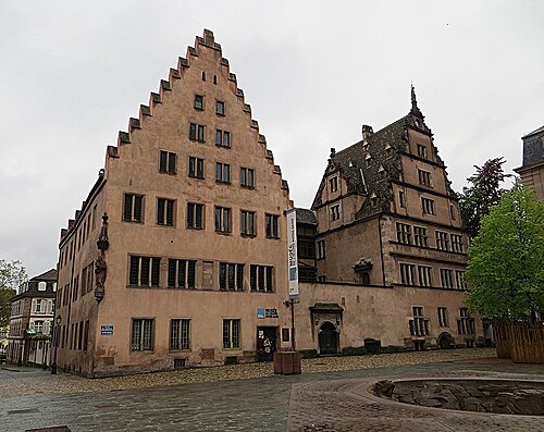 art museum
Musée de l'Œuvre Notre-Dame
museum in Strasbourg, France
Getting there Nearest stop or station Dépose bus Parc de l'Etoile, about 12 min on foot OpenStreetMap
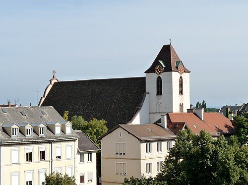
- mosque
Strasbourg Mosque
mosque in Strasbourg, France
Getting there Nearest stop or station Dépose bus Parc de l'Etoile, about 20 min on foot OpenStreetMap
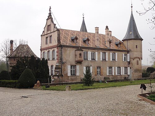
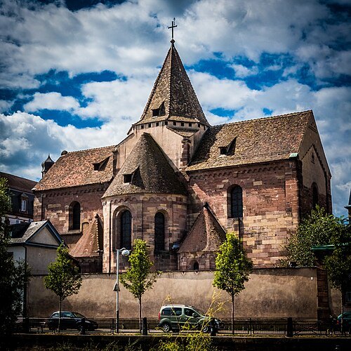
Photo Claude TRUONG-NGOC / CC BY-SA 4.0
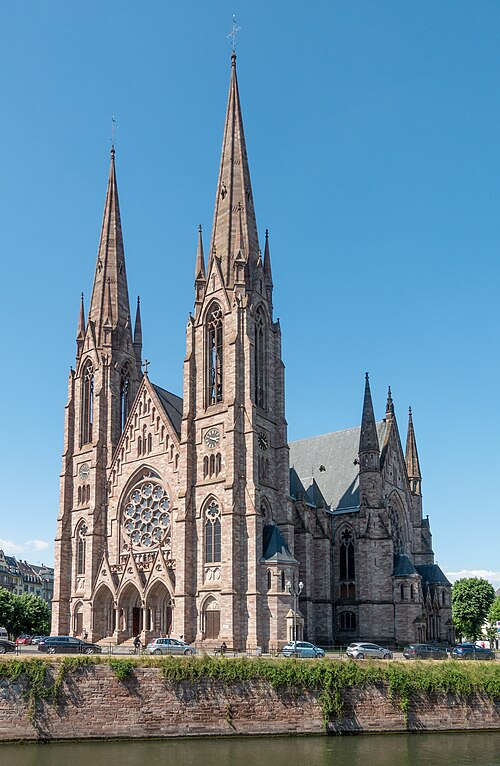
church buildingSaint Stephen’s Church, Strasbourg
church located in Bas-Rhin, in France
Getting there Nearest stop or station Dépose bus Parc de l'Etoile, about 16 min on foot OpenStreetMap
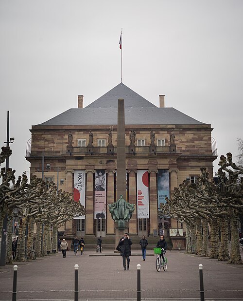
Pedro J Pacheco / CC BY-SA 4.0
opera houseStrasbourg Opera House
the opera house in Strasbourg, France
Getting there Nearest stop or station Dépose bus Parc de l'Etoile, about 20 min on foot OpenStreetMap
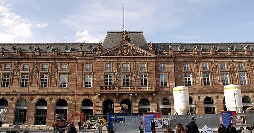 movie theater
Aubette
multi-storey urban building in Strasbourg, France, including public halls and a cinema
Getting there Nearest stop or station Gare de Strasbourg, about 13 min on foot OpenStreetMap
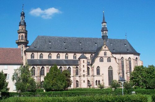
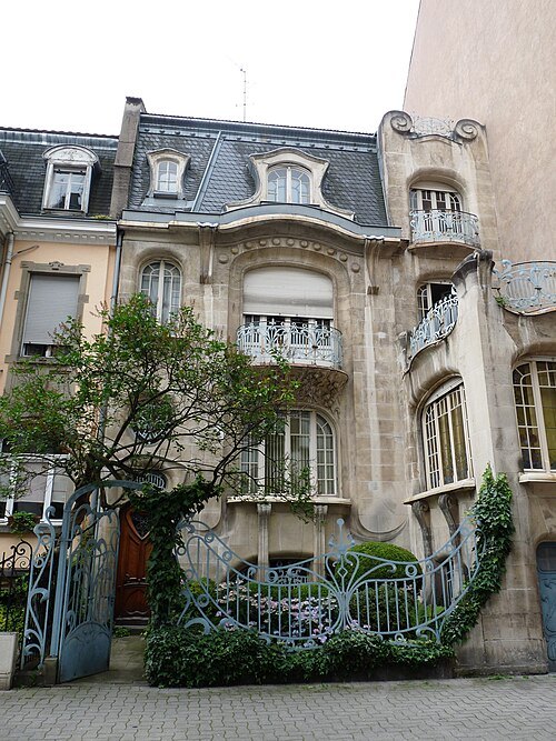
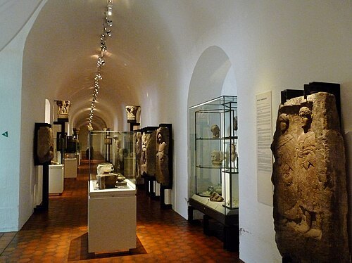 archaeological museum
Musée archéologique de Strasbourg
archaeological museum in Strasbourg, France
Getting there Nearest stop or station Dépose bus Parc de l'Etoile, about 12 min on foot OpenStreetMap
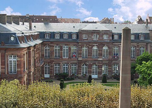 private mansion
Hôtel des Deux-Ponts
civic in Strasbourg, France
Getting there Nearest stop or station Dépose bus Parc de l'Etoile, about 19 min on foot OpenStreetMap
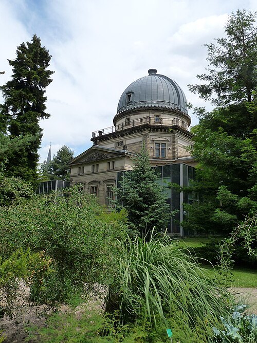
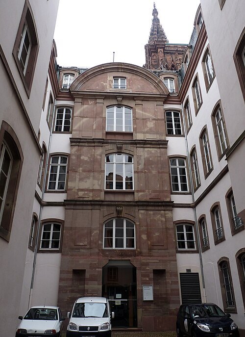 art museum
Cabinet des estampes et des dessins
museum in Strasbourg, France
Getting there Nearest stop or station Dépose bus Parc de l'Etoile, about 13 min on foot OpenStreetMap
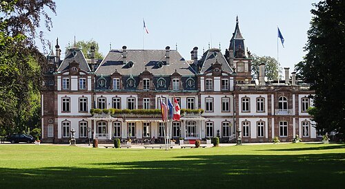
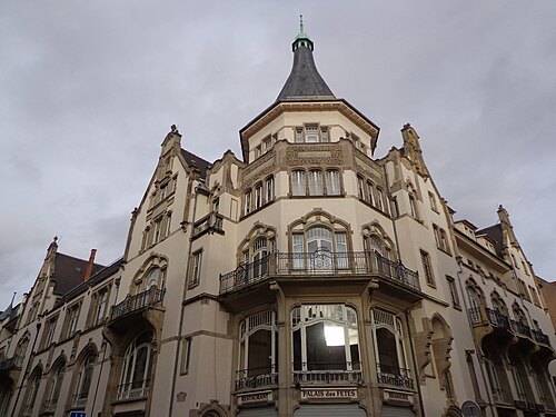 event venue
Palais des fêtes
music venue in the Neustadt district of Strasbourg in France
Getting there Nearest stop or station Gare de Strasbourg, about 20 min on foot OpenStreetMap
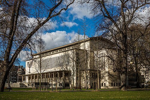
Photo Claude TRUONG-NGOC / CC BY-SA 3.0
synagogueSynagogue de la Paix
synagogue located in Bas-Rhin, in France
Claude TRUONG-NGOC / CC BY-SA 3.0
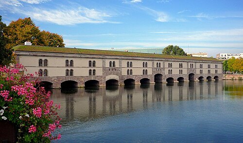
bridge castleBarrage Vauban
bridge in France
Getting there Nearest stop or station Strasbourg, about 11 min on foot OpenStreetMap
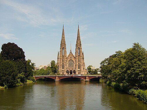
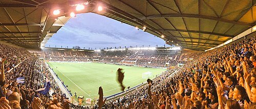 sports venue
Stade de la Meinau
football stadium in Strasbourg, France
Getting there Nearest stop or station Krimmeri Meinau, about 9 min on foot OpenStreetMap
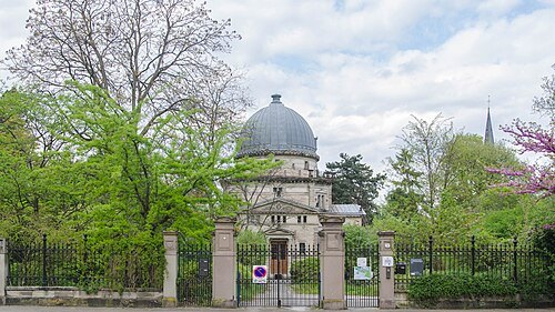
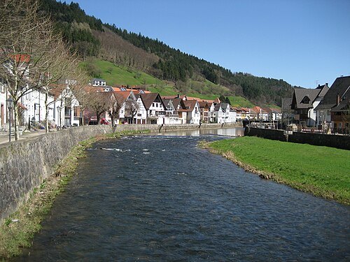
Marion Schneider & Christoph Aistleitner / Public domain
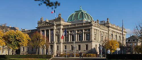
BNU - Rosenkranz / CC BY-SA 3.0
national libraryBibliothèque nationale et universitaire de Strasbourg
National and college library in Strasbourg (France)
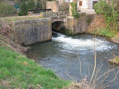
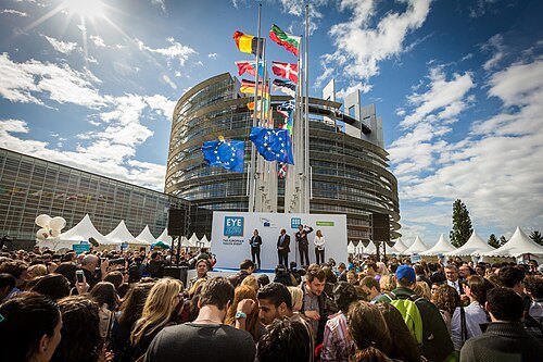
Photo Claude TRUONG-NGOC / CC BY-SA 3.0
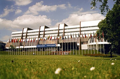
parliament buildingSeat of the European Parliament in Strasbourg
parliament's buildings in Strasbourg
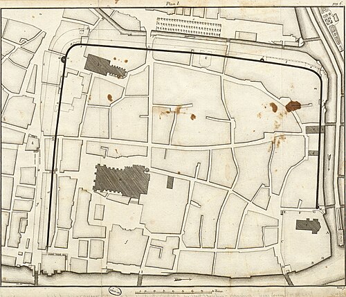
Johann-Martin Weiss / Public domain
archaeological siteArgentoratum
ancient name of the city of Strasbourg in France
Getting there Nearest stop or station Dépose bus Parc de l'Etoile, about 15 min on foot OpenStreetMap
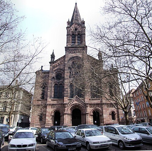
Robert Cutts from Bristol, England, UK / CC BY 2.0
church buildingTemple Neuf
Lutheran church in Strasbourg, France
Getting there Nearest stop or station Gare de Strasbourg, about 17 min on foot OpenStreetMap
- demolished synagogue
Synagogue du Quai Kléber
synagogue located in Bas-Rhin, in France
Getting there Nearest stop or station Gare de Strasbourg, about 9 min on foot OpenStreetMap
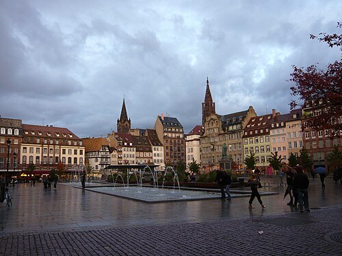 square
place Kléber
square in Strasbourg, France
Getting there Nearest stop or station Gare de Strasbourg, about 14 min on foot OpenStreetMap
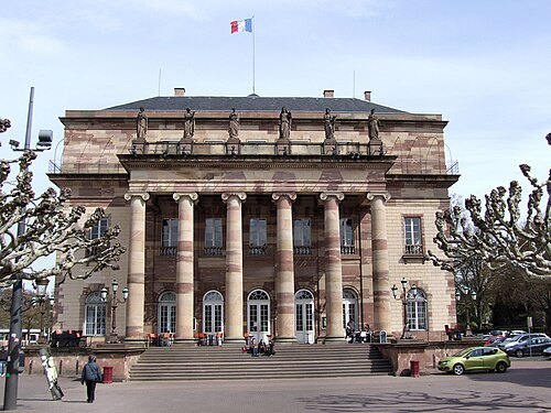
Robert Cutts from Bristol, England, UK / CC BY 2.0
opera companyOpéra national du Rhin
opery company in Strasbourg, Colmar and Mulhouse, Alsace, France
Getting there Nearest stop or station Dépose bus Parc de l'Etoile, about 20 min on foot OpenStreetMap
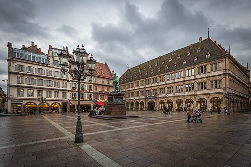
Photo Claude TRUONG-NGOC / CC BY-SA 3.0
squareplace Gutenberg
square in Strasbourg, France
Getting there Nearest stop or station Dépose bus Parc de l'Etoile, about 14 min on foot OpenStreetMap
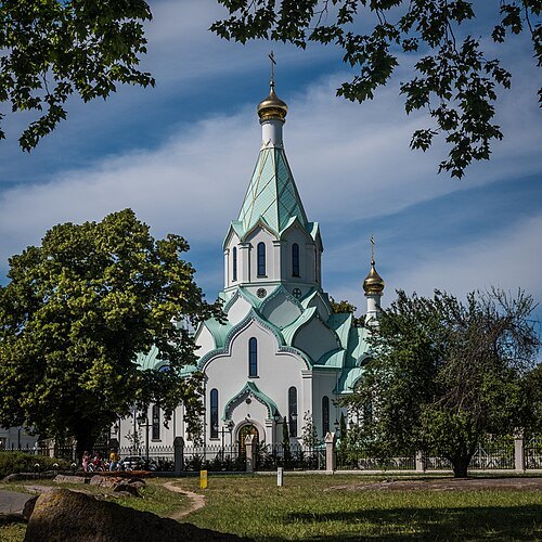
Photo Claude TRUONG-NGOC / CC BY-SA 4.0
eastern orthodox church buildingÉglise orthodoxe de tous les saints de Strasbourg
church located in Strasbourg, in France
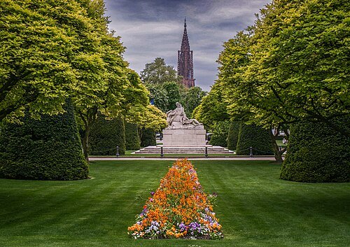
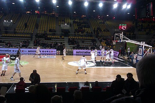
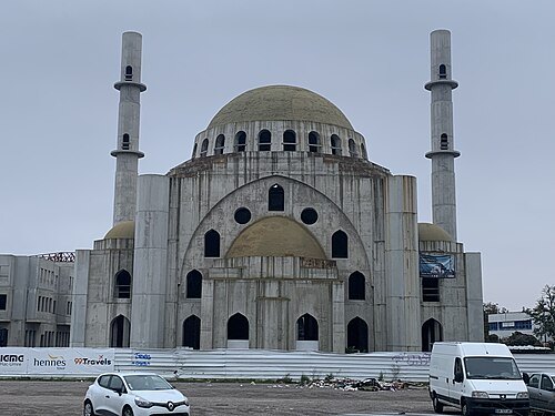 mosque
Eyyub Sultan Mosque
mosque in Strasbourg, France
Getting there Nearest stop or station Krimmeri Meinau, about 10 min on foot OpenStreetMap
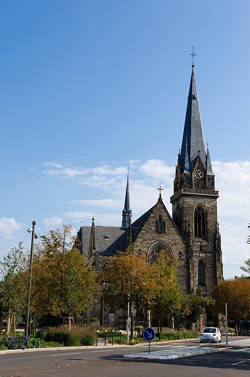
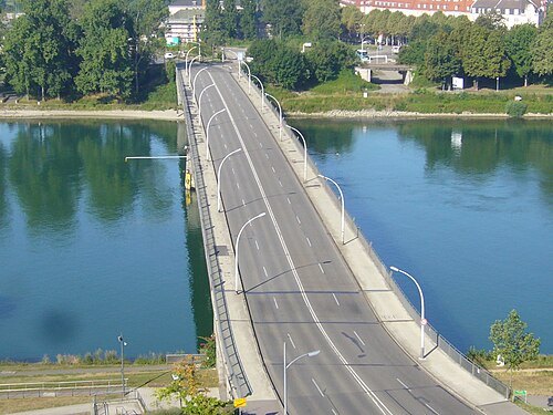 steel bridge
Bridge of Europe
transborder bridge over the Rhine between Strasbourg (Germany) and Kehl (France)
Getting there Nearest stop or station Kehl, about 8 min on foot OpenStreetMap
- international bridge
Beatus Rhenanus Bridge
Tramway bridge between Strasbourg, France and Kehl, Germany. Also for cyclists and pedestrians.


Places to eat
Nothing here matches that. Clear a filter and try again.
Opening hours and tickets: OpenStreetMap contributors. Each one shows the day a volunteer last wrote it down, so check the official site before you set out.