Mulhouse: what to see and where to eat
Everything below comes from open data and each row says where it came from. We have not been to any of these places and we do not rank them.
Filters
Things to see
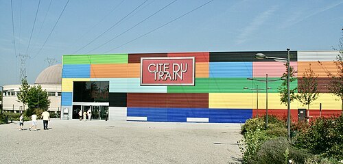 railway museum
Cité du train
national railway museum of France, in Mulhouse
Getting there Nearest stop or station Mulhouse Musées, about 5 min on foot OpenStreetMap
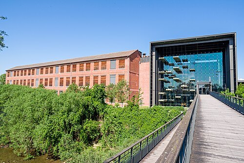
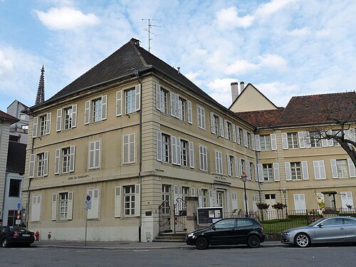 art museum
Musée des beaux-arts de Mulhouse
Fine arts museum in Mulhouse, France
Getting there Nearest stop or station Mulhouse-Ville, about 8 min on foot OpenStreetMap
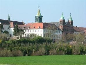
Mahé Petit Garçon Curieux / CC BY-SA 3.0
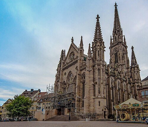
protestant church buildingTemple Saint-Étienne
church located in Haut-Rhin, in France
Getting there Nearest stop or station Mulhouse-Ville, about 10 min on foot OpenStreetMap
Eric Gaba (Sting - fr:Sting) / CC BY-SA 3.0
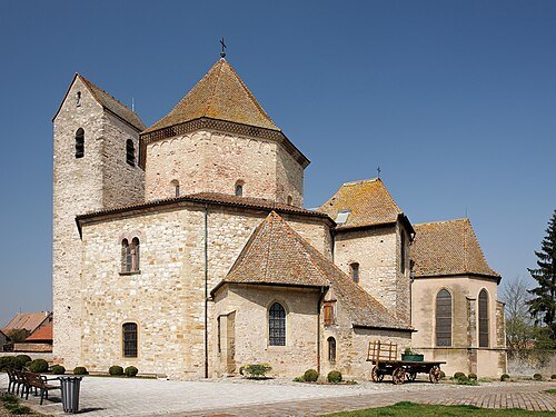
abbey churchchurch Saint-Pierre-et-Saint-Paul
church located in Haut-Rhin, in France
 collegiate church
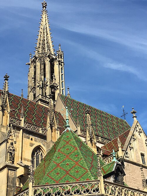
St Theobald's Church
collegiate church located in Haut-Rhin, in France
Getting there Nearest stop or station Thann Centre, about 2 min on foot OpenStreetMap
 botanical garden
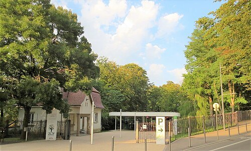
Parc Zoologique et Botanique de Mulhouse
garden in France
Getting there Nearest stop or station Mulhouse-Ville, about 11 min on foot OpenStreetMap
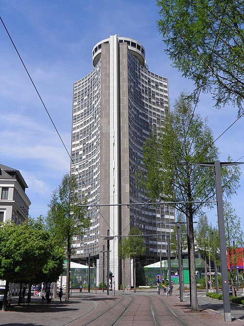 tower block
Tour de l'Europe
Skyscraper in Mulhouse, France
Getting there Nearest stop or station Mulhouse-Ville, about 14 min on foot OpenStreetMap
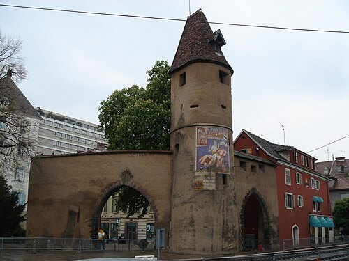 fortified tower
Tour du Bollwerk
Getting there Nearest stop or station Mulhouse-Ville, about 11 min on foot OpenStreetMap
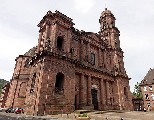
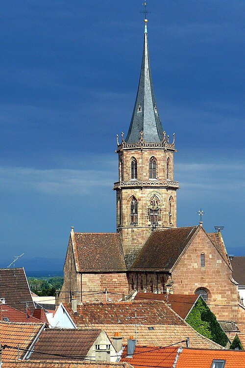
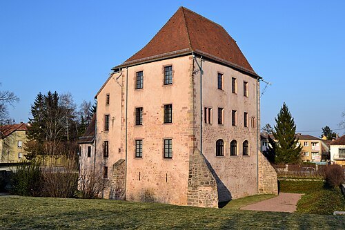
Original uploader was Florival fr at fr.wikipedia / CC BY 1.0
museumEcomusée d'Alsace
museum
Getting there Nearest stop or station Écomusée d'Alsace, about 2 min on foot OpenStreetMap
 synagogue
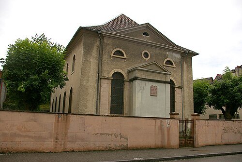
Synagogue of Altkirch
synagogue located in Haut-Rhin, in France
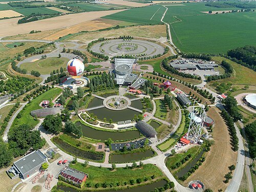 theme park
Parc du Petit Prince
French theme park
Getting there Nearest stop or station Écomusée d'Alsace, about 20 min on foot OpenStreetMap
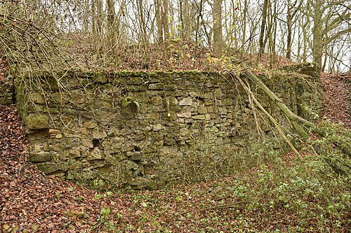
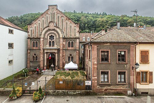
Photo Claude TRUONG-NGOC / CC BY-SA 3.0
synagogueSynagogue de Thann
synagogue located in Haut-Rhin, in France
Getting there Nearest stop or station Thann Centre, about 5 min on foot OpenStreetMap
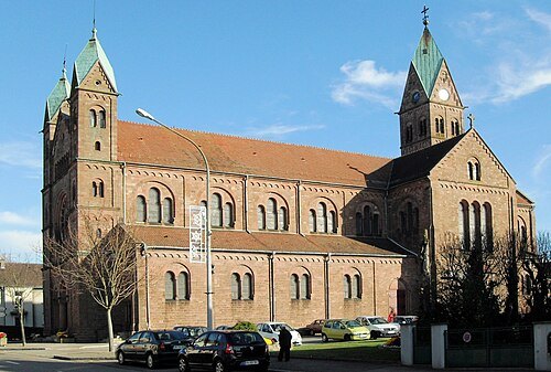 minor basilica
Basilique de Lutterbach
basilica located in Haut-Rhin, in France
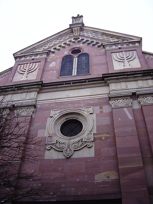 synagogue
Synagogue of Mulhouse
synagogue located in Haut-Rhin, in France
Getting there Nearest stop or station Mulhouse-Ville, about 12 min on foot OpenStreetMap
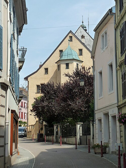 art museum
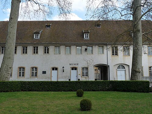
musée sundgauvien
museum in France
Getting there Nearest stop or station Altkirch, about 6 min on foot OpenStreetMap
- castle
Château d'Altkirch
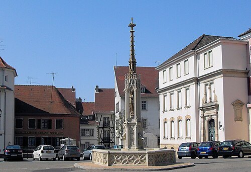 fountain
Fontaine de la Vierge
Getting there Nearest stop or station Altkirch, about 6 min on foot OpenStreetMap
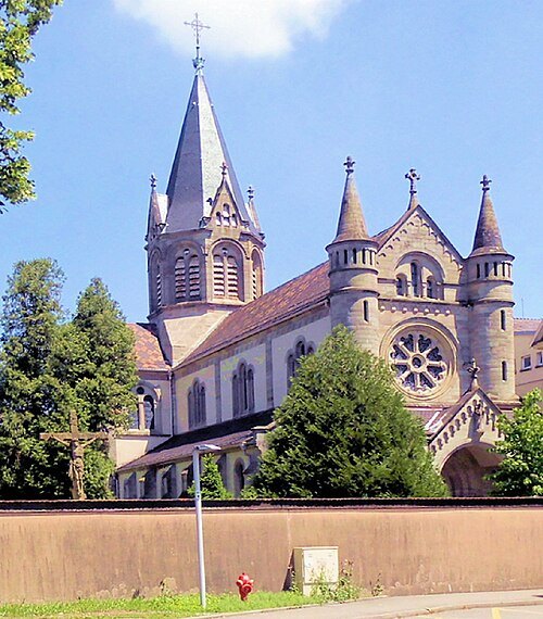 church building
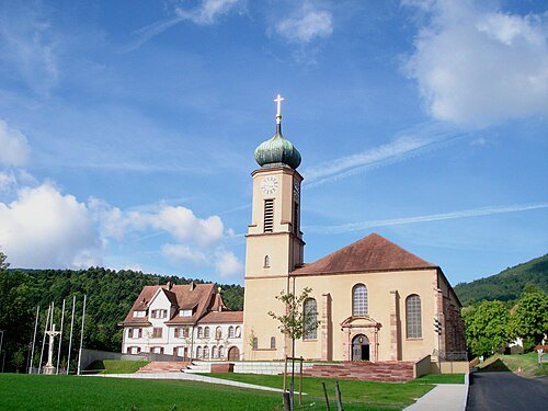
Église Saint-Morand d'Altkirch
church located in Haut-Rhin, in France
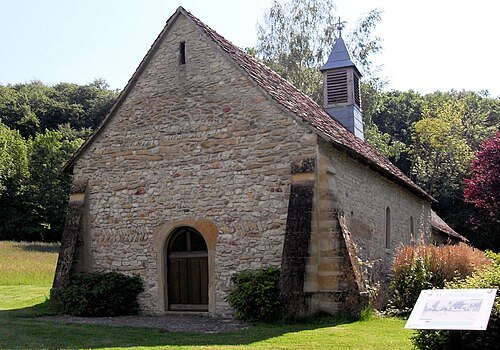 chapel
Chapelle Saint-Brice (Hausgauen)
chapel located in Haut-Rhin, in France
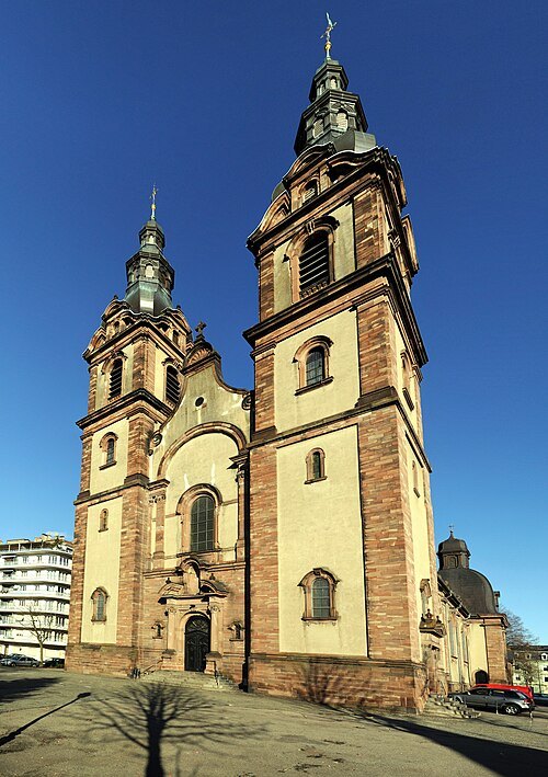
– Wladyslaw [Disk.]. Taxiarchos228 / CC BY-SA 3.0
church buildingSaint-Fridolin
church in Mulhouse
- church building
Église Sainte-Afre
church located in Haut-Rhin, in France
- military museum
Porte de Thann, Cernay
museum in France
- château
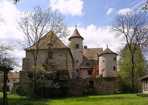
Château d'Ollwiller
château
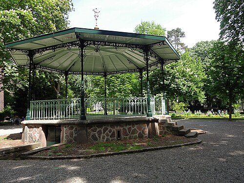
© Ralph Hammann - Wikimedia Commons / CC BY-SA 4.0
urban parkParc de la Marseillaise
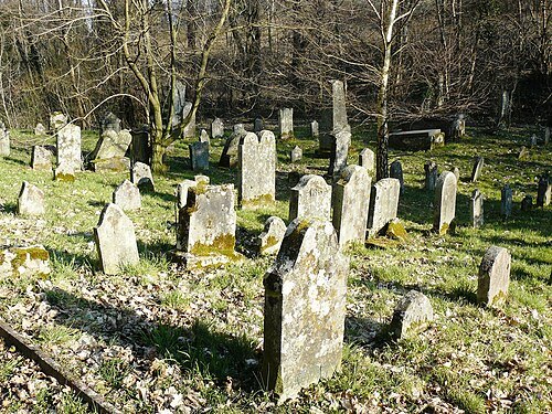 cemetery
Jewish cemetery of Jungholtz
cemetery located in Haut-Rhin, in France
- synagogue
synagogue of Soultz-Haut-Rhin
synagogue located in Haut-Rhin, in France
- convent
Préceptorerie des Antonins
human settlement in France
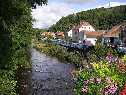
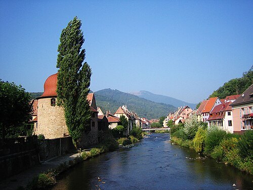
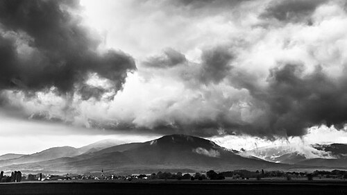
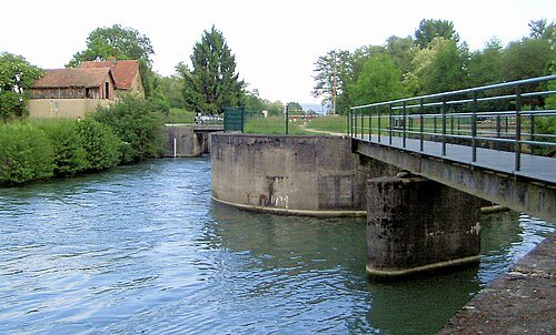
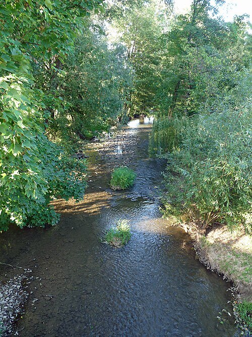 river
Largue
river in Alsace, France, tributary of the Ill
Getting there Nearest stop or station Illfurth, about 11 min on foot OpenStreetMap
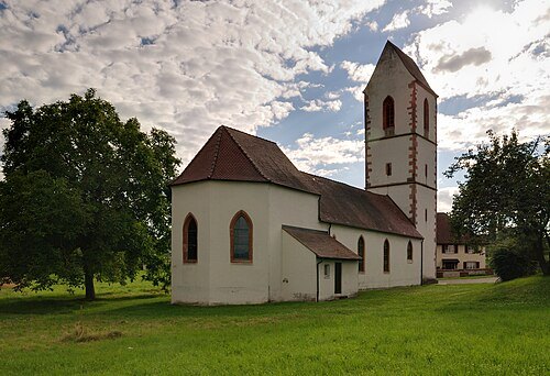 church building
St. Peter's Church Blansingen
church building in Efringen-Kirchen, Freiburg Government Region, Bade-Württemberg, Germany
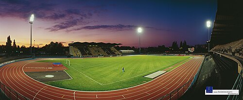
Steffen Grocholl / CC BY-SA 3.0
sports venueStade de l'Ill
stadium in Mulhouse, France
Getting there Nearest stop or station Mulhouse Zu Rhein, about 14 min on foot OpenStreetMap
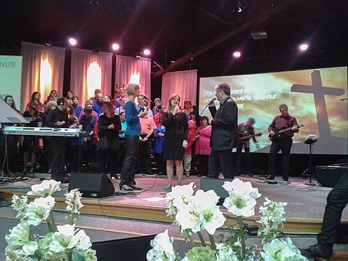
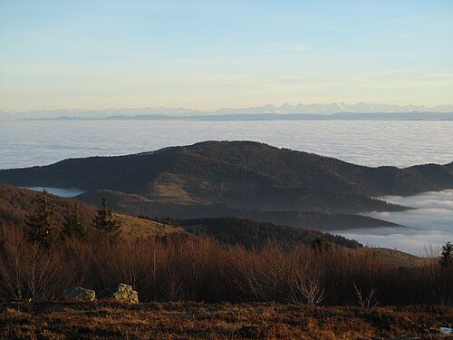 mountain
Molkenrain
mountain in France
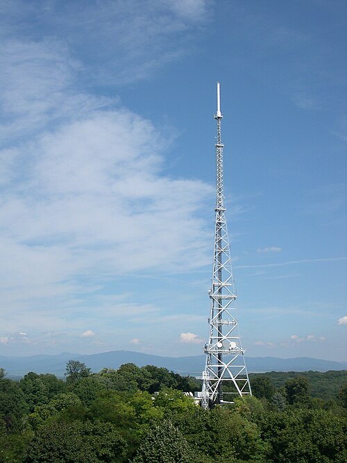
Serge Nueffer at French Wikipedia / Public domain
mountainRebberg
mountain
Getting there Nearest stop or station Mulhouse-Ville, about 9 min on foot OpenStreetMap
- leisure park
Le Bioscope
leisure park
Getting there Nearest stop or station Écomusée d'Alsace, about 20 min on foot OpenStreetMap
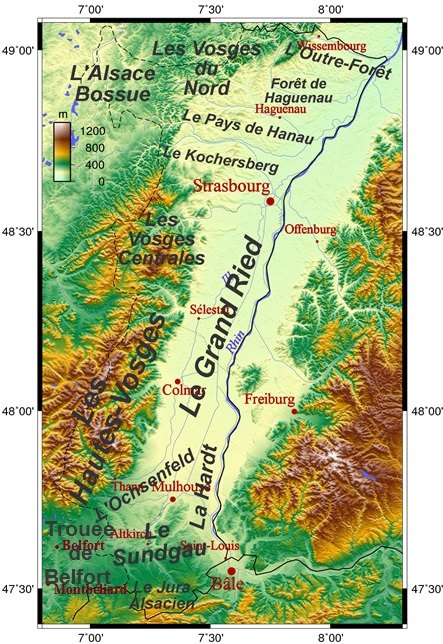
Alsace_topo.png: Generated by GMT; Uploaded by: Neuceu derivative work: Monsieur Fou / CC BY-SA 3.0
forestForêt de la Hardt
forest in France
- international bridge
Rheinbrücke Ottmarsheim
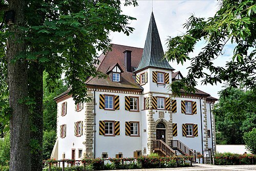 château
Entenstein Castle
castle surrounded by a moat situated in the center of the community of Schliengen located in the district of Lörrach, Baden-Württemberg
Getting there Nearest stop or station Schliengen, about 16 min on foot OpenStreetMap
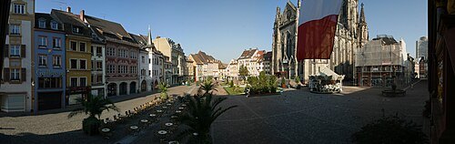 square
place de la Réunion
square in Mulhouse, France
Getting there Nearest stop or station Mulhouse-Ville, about 10 min on foot OpenStreetMap
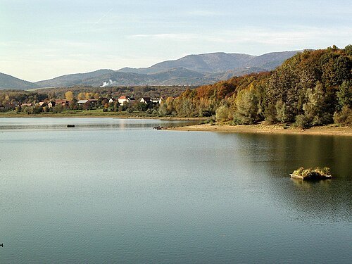
Rémi Stosskopf Original uploader was Florival fr at fr.wikipedia / CC BY 1.0
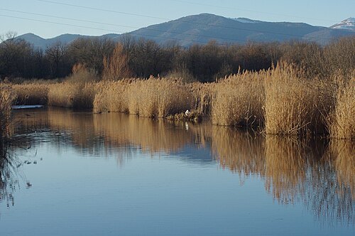 regional nature reserve
réserve naturelle régionale des marais et landes du Rothmoos
nature reserve in Alsace
Getting there Nearest stop or station Graffenwald, about 20 min on foot OpenStreetMap
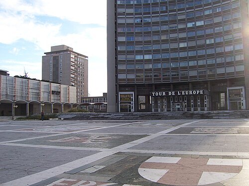 square
place de l'Europe
square in Mulhouse, France
Getting there Nearest stop or station Mulhouse-Ville, about 14 min on foot OpenStreetMap
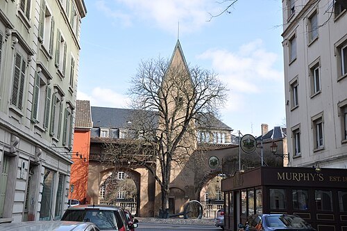 street
Rue de la Justice
Getting there Nearest stop or station Mulhouse-Ville, about 11 min on foot OpenStreetMap
- theatre building
La Filature


Places to eat
- restaurant
Chez Eniste
Food: turkish
Nothing here matches that. Clear a filter and try again.
Opening hours and tickets: OpenStreetMap contributors. Each one shows the day a volunteer last wrote it down, so check the official site before you set out.