Cannes: what to see and where to eat
Everything below comes from open data and each row says where it came from. We have not been to any of these places and we do not rank them.
Filters
Things to see
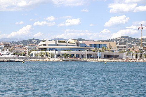
Timantha102938 / Public domain
event venuePalais des Festivals et des Congrès
building in Cannes, France
Getting there Nearest stop or station Cannes, about 7 min on foot OpenStreetMap
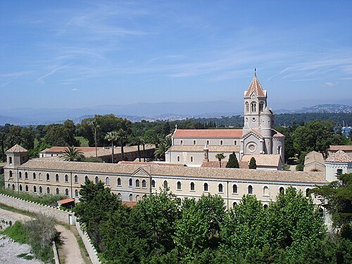
- art museum
Picasso Museum
museum in Antibes, France
Getting there Nearest stop or station Place Guynemer, about 7 min on foot OpenStreetMap
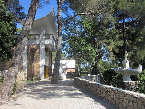
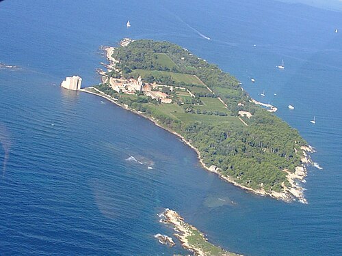
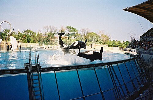
Arnaud 25 & Jean Loup P / Public domain
zooMarineland
oceanarium in Antibes, France
Getting there Nearest stop or station Biot, about 7 min on foot OpenStreetMap
- cathedral
Antibes Cathedral
cathedral located in Alpes-Maritimes, in France
Getting there Nearest stop or station Place Guynemer, about 7 min on foot OpenStreetMap
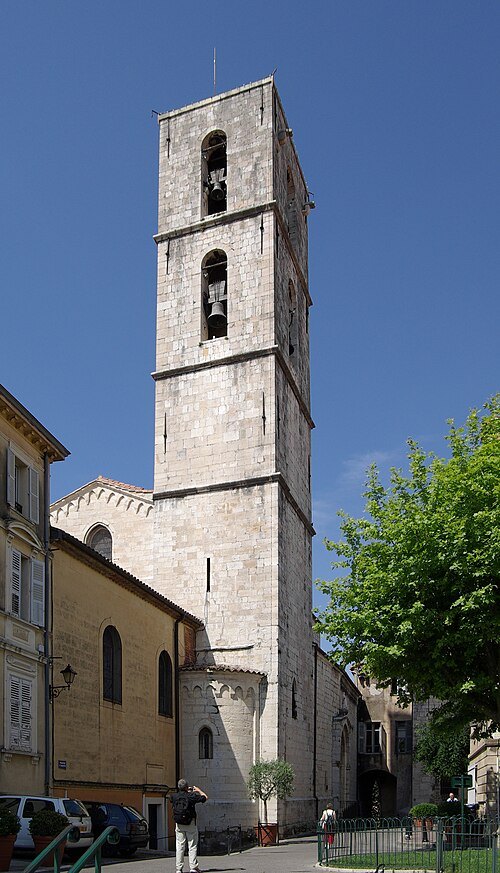
Berthold Werner / CC BY-SA 3.0
cathedralGrasse Cathedral
cathedral located in Alpes-Maritimes, in France
Getting there Nearest stop or station Grasse - Gare Routière, about 6 min on foot OpenStreetMap
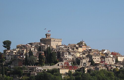 château
Château Grimaldi
castle in Cagnes-sur-Mer, France
Getting there Nearest stop or station Cagnes-sur-Mer, about 17 min on foot OpenStreetMap
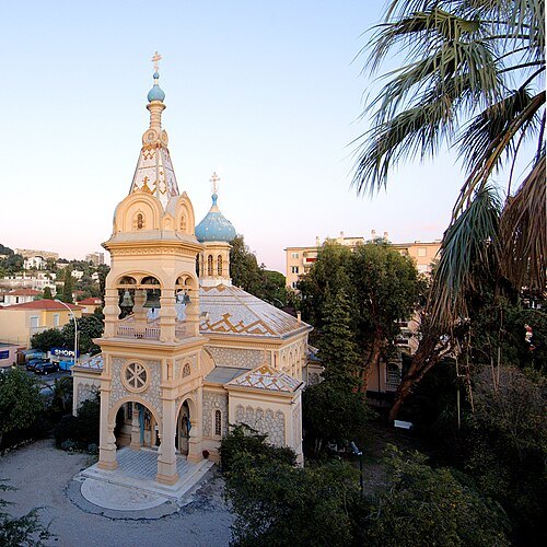
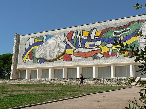
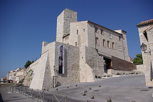 castle
Château Grimaldi (Antibes)
Getting there Nearest stop or station Place Guynemer, about 7 min on foot OpenStreetMap
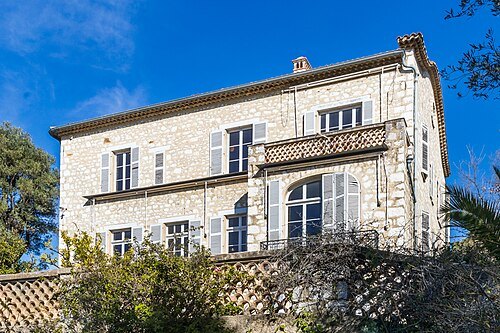
Raimond Spekking / CC BY-SA 4.0
art museumMusée Renoir
museum in Cagnes-sur-Mer, France
Getting there Nearest stop or station Le Cros-de-Cagnes, about 18 min on foot OpenStreetMap
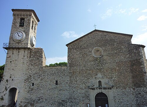 church building
Église Notre-Dame-de-l'Espérance
church located in Alpes-Maritimes, in France
Getting there Nearest stop or station La Gare Routière - Palm Transports, about 2 min on foot OpenStreetMap
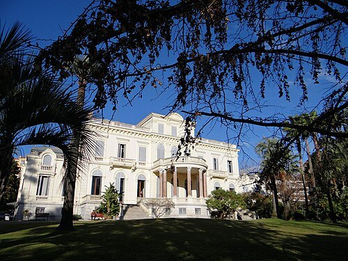 villa
Villa Rothschild
villa in Cannes, France
Getting there Nearest stop or station La Gare Routière - Palm Transports, about 12 min on foot OpenStreetMap
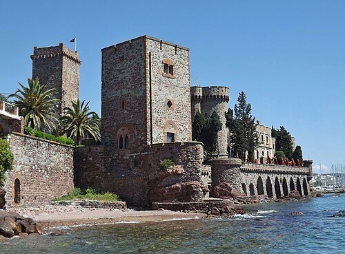
Florian Pépellin / CC BY-SA 3.0
art museumChâteau de la Napoule
museum in France
Getting there Nearest stop or station Mandelieu-la-Napoule, about 2 min on foot OpenStreetMap
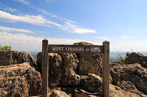
Céréales Killer / CC BY-SA 4.0
mountainMont Vinaigre
mountain in France
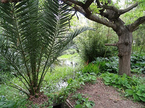
- castle
Château Vallombrosa
residential building in Cannes, France
Getting there Nearest stop or station La Gare Routière - Palm Transports, about 9 min on foot OpenStreetMap
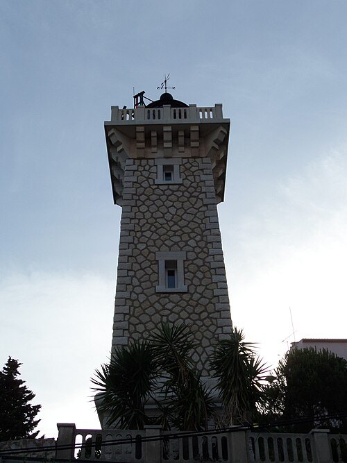 lighthouse
Phare de Vallauris
lighthouse in Alpes-Maritimes, France
Getting there Nearest stop or station Golfe-Juan Vallauris, about 15 min on foot OpenStreetMap
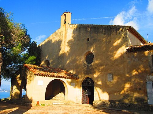
Original uploader was Aimelaime at fr.wikipedia / Public domain
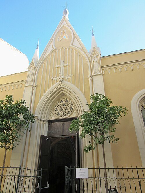
Aimelaime at French Wikipedia / Public domain
chapelChapelle Saint-Bernardin d'Antibes
chapel located in Alpes-Maritimes, in France
Getting there Nearest stop or station Place Guynemer, about 4 min on foot OpenStreetMap
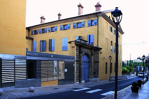
jean-louis Zimmermann / CC BY 2.0
museumMusée international de la parfumerie
museum in France
Getting there Nearest stop or station Grasse - Gare Routière, about 5 min on foot OpenStreetMap
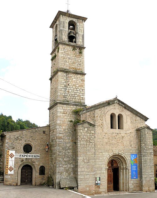 abbey
Abbaye de Valbonne
abbey located in Alpes-Maritimes, in France
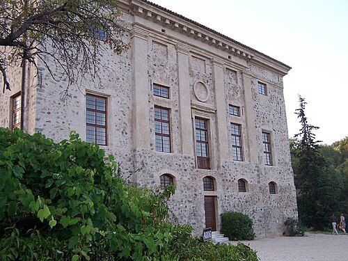 castle
Château de Vaugrenier
house in Villeneuve-Loubet, France
Getting there Nearest stop or station Villeneuve-Loubet, about 19 min on foot OpenStreetMap
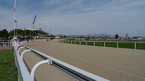 horse racing venue
Hippodrome de la Côte d'Azur
horse race
Getting there Nearest stop or station Cagnes-sur-Mer, about 16 min on foot OpenStreetMap
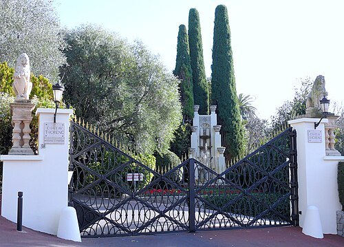
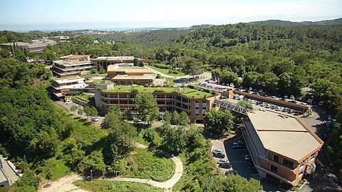
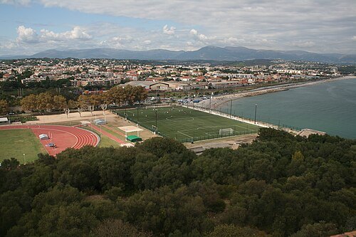 association football venue
Stade du Fort Carré
football stadium
Getting there Nearest stop or station Pôle d´Échanges d´Antibes, about 13 min on foot OpenStreetMap
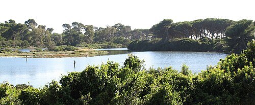
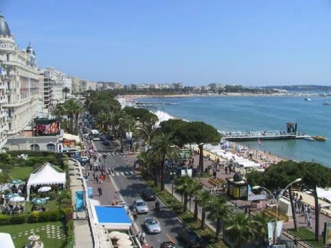 boardwalk
Promenade de la Croisette
street in Cannes, France
Getting there Nearest stop or station Gare ferroviaire de Cannes, about 12 min on foot OpenStreetMap
- association football venue
Stade Pierre de Coubertin
French multipurpose stadium
Getting there Nearest stop or station La Frayère, about 15 min on foot OpenStreetMap
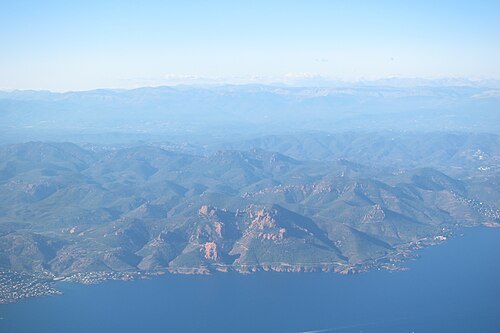
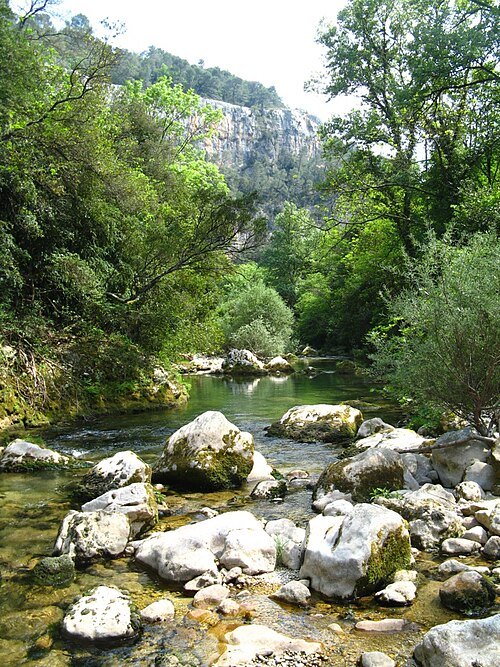 coastal river
Siagne
river in France
Getting there Nearest stop or station Mandelieu-la-Napoule, about 15 min on foot OpenStreetMap
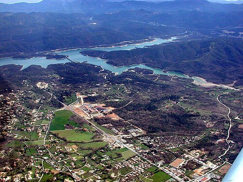
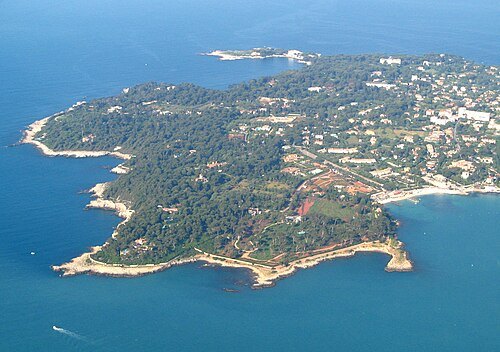 cape
Cap d'Antibes
peninsula south of Antibes on the French Riviera
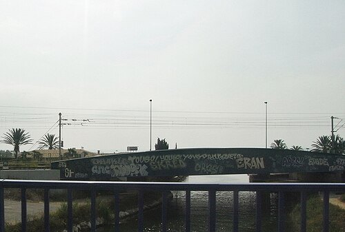 coastal river
Brague
coastal river of the Alpes-Maritimes, France
Getting there Nearest stop or station Biot, about 5 min on foot OpenStreetMap
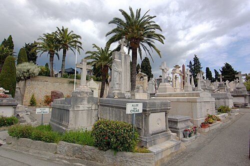 cemetery
Cannes (Grand Jas) Cemetery
cemetery at avenue de Grasse in Cannes, France
Getting there Nearest stop or station La Gare Routière - Palm Transports, about 17 min on foot OpenStreetMap
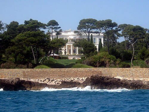
- river
Malvan
river in France
Getting there Nearest stop or station Cagnes-sur-Mer, about 6 min on foot OpenStreetMap
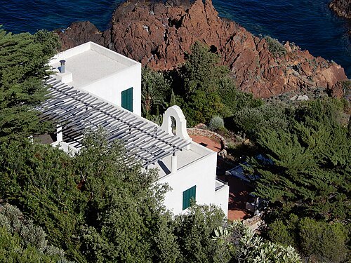
Plumbago Capensis / CC BY-SA 4.0
villaVilla Le Trident
villa in Théoule-sur-Mer, France
Getting there Nearest stop or station Théoule-sur-Mer, about 11 min on foot OpenStreetMap
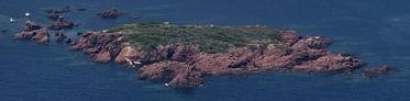 island
île des Vieilles
island in Saint-Raphaël, France
Getting there Nearest stop or station Anthéor-Cap-Roux, about 14 min on foot OpenStreetMap
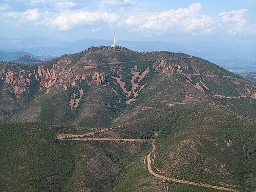 mountain
Pic de l'Ours
mountain in France
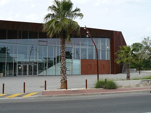
Creator:Guy Lebègue / CC BY-SA 3.0
sports venuePalais des Victoires
Getting there Nearest stop or station La Frayère, about 17 min on foot OpenStreetMap
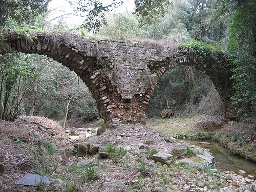
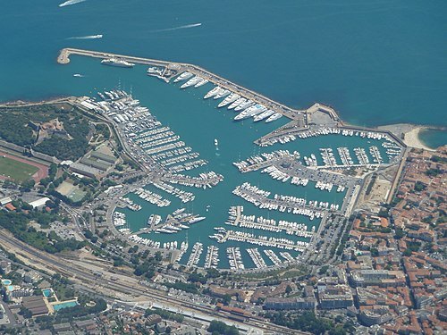 sports venue
Port Vauban
port in Antibes, France
Getting there Nearest stop or station Antibes, about 10 min on foot OpenStreetMap
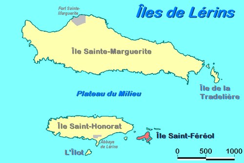 island
îlot Saint-Ferréol
island in Cannes, France
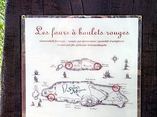 island
îlot de la Tradelière
island in Cannes, France
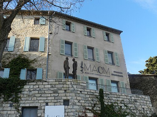
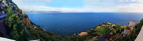 park
La Pointe de l'Aiguille
park in France
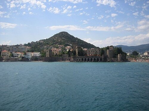 hill
San Peyre
a cone of volcanic origin located in Esterel, in Mandelieu-la-Napoule, west of the Alpes-Maritimes in France
Getting there Nearest stop or station Mandelieu-la-Napoule, about 6 min on foot OpenStreetMap
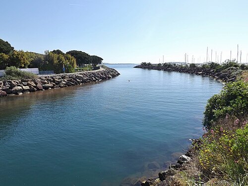
Florian Pépellin / CC BY-SA 3.0
riverRiou de l'Argentière
Riou de l'Argentière
Getting there Nearest stop or station Mandelieu-la-Napoule, about 19 min on foot OpenStreetMap
- sports venue
Cap Esterel
holiday village in France
Getting there Nearest stop or station Agay, about 11 min on foot OpenStreetMap
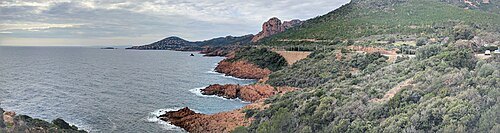 cape
Cap Roux
cape in Provence-Alpes-Côte d'Azur, France


Places to eat
Nothing here matches that. Clear a filter and try again.
Opening hours and tickets: OpenStreetMap contributors. Each one shows the day a volunteer last wrote it down, so check the official site before you set out.