Annecy: what to see and where to eat
Everything below comes from open data and each row says where it came from. We have not been to any of these places and we do not rank them.
Filters
Things to see
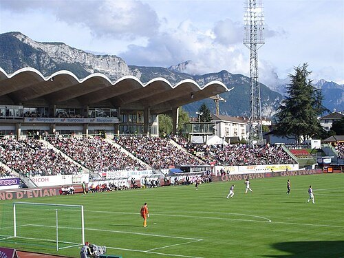
Olivier G. pour psgmag.net sur le compte flickr PSGMAG.NET / CC BY 2.0
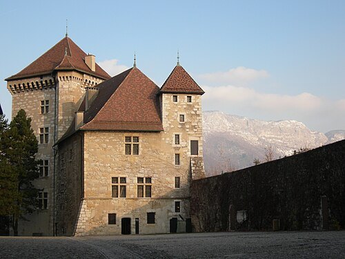
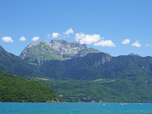
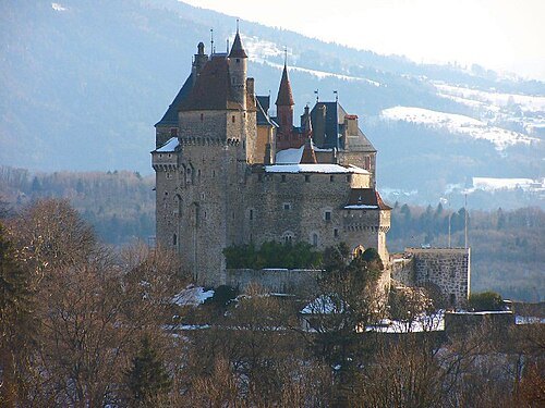
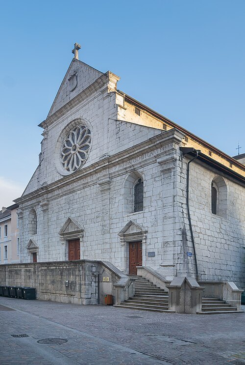
Krzysztof Golik / CC BY-SA 4.0
catholic cathedralSt. Peter's Cathedral
cathedral located in Annecy (Haute-Savoie, France)
Getting there Nearest stop or station Annecy, about 7 min on foot OpenStreetMap
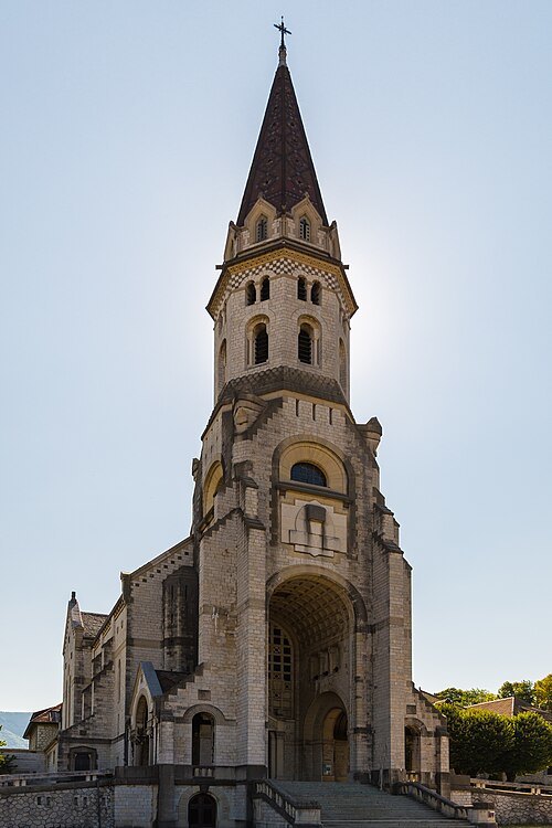 minor basilica
Basilica of the Visitation
Annecy
Getting there Nearest stop or station Annecy, about 11 min on foot OpenStreetMap
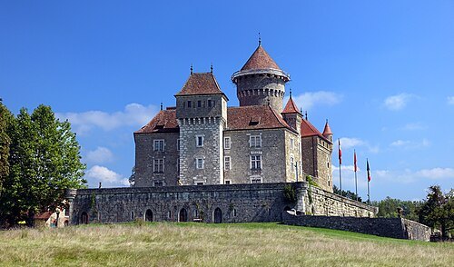
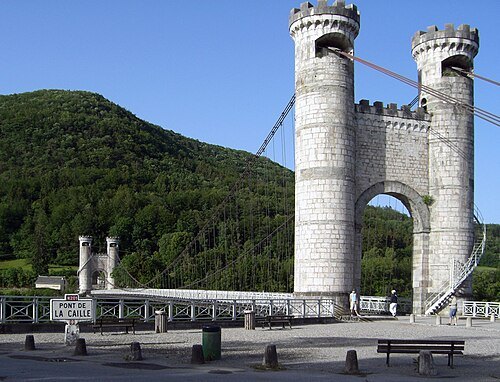
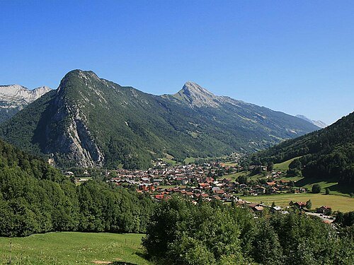
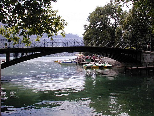
fr:User:Semnoz / Public domain
bridgePont des Amours
bridge in France
Getting there Nearest stop or station Annecy, about 3 min on foot OpenStreetMap
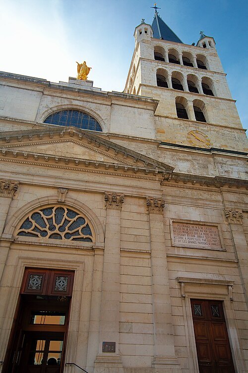 church building
Église Notre-Dame-de-Liesse d'Annecy
church located in Haute-Savoie, in France
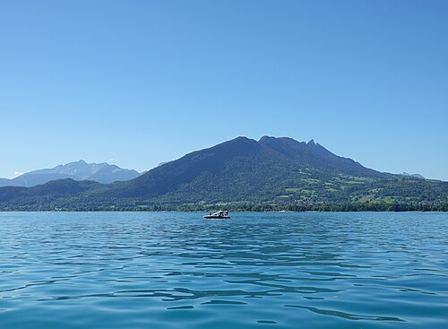
Guilhem Vellut from Annecy, France / CC BY 2.0
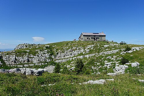
summitRoc des Bœufs
mountain in France
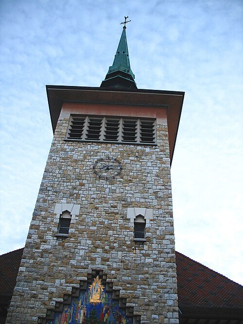 minor basilica
Basilique Saint-Joseph-des-Fins
basilica located in Haute-Savoie, in France
Getting there Nearest stop or station Annecy, about 18 min on foot OpenStreetMap
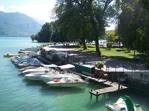
Florian Pépellin / CC BY-SA 3.0
gardenJardins de l'Europe d'Annecy
garden in Annecy, France
- church building
Église Saint-Maurice
church located in Annecy, Haute-Savoie, France
Getting there Nearest stop or station Annecy, about 4 min on foot OpenStreetMap
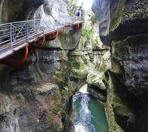 slot canyon
Gorges du Fier
slot canyon formed by the river Fier in the department of Haute-Savoie in France
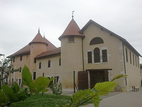 château
Château de Novel
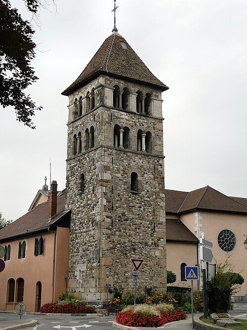 bell tower
clocher d'Annecy-le-Vieux
bell tower in Haute-Savoie, in France
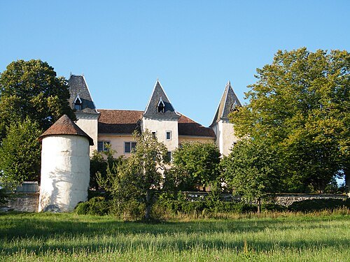 castle
Château de Promery
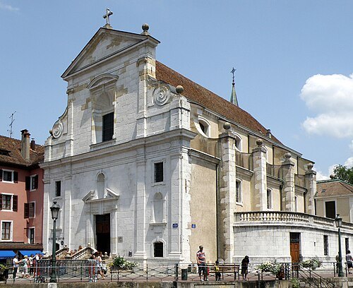 church building
Saint-François-de-Sales church
church located in the historic city center of Annecy (Haute-Savoie, France), on the banks of the Thiou river
Getting there Nearest stop or station Annecy, about 3 min on foot OpenStreetMap
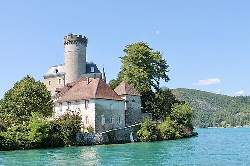
Benoît Brassoud / CC BY-SA 4.0
castleChâteau de Châteauvieux
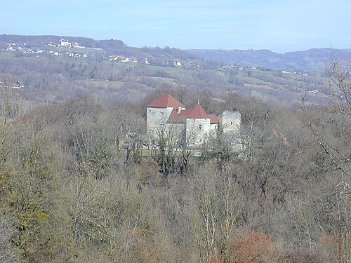
Semnoz at French Wikipedia / CC BY-SA 3.0
castleChâteau de Sallenôves
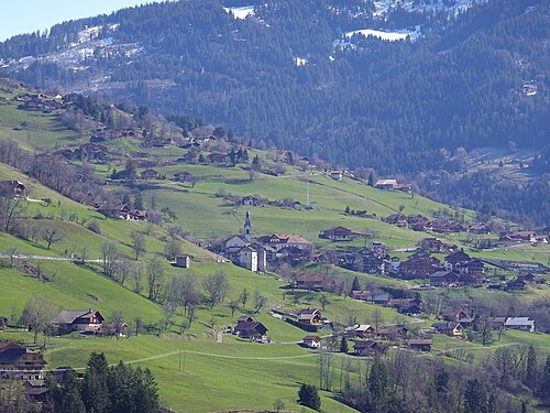
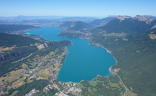 natural lake
Lake Annecy
perialpine lake in Haute-Savoie, France
Getting there Nearest stop or station Saint-Jorioz, about 15 min on foot OpenStreetMap
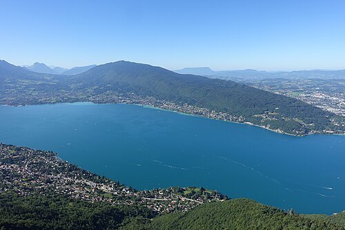
Guilhem Vellut from Annecy, France / CC BY 2.0
mountainSemnoz
mountain in France
Getting there Nearest stop or station Belvédère, about 1 min on foot OpenStreetMap
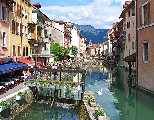
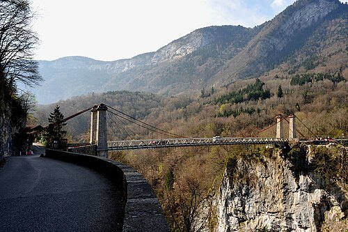
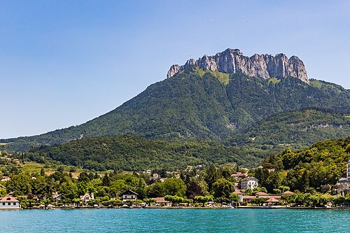
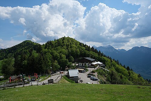
Guilhem Vellut from Annecy, France / CC BY 2.0
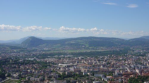
scenic viewpointCol de la Forclaz
mountain pass in Haute-Savoie, France
Getting there Nearest stop or station Baby du Col, about 4 min on foot OpenStreetMap
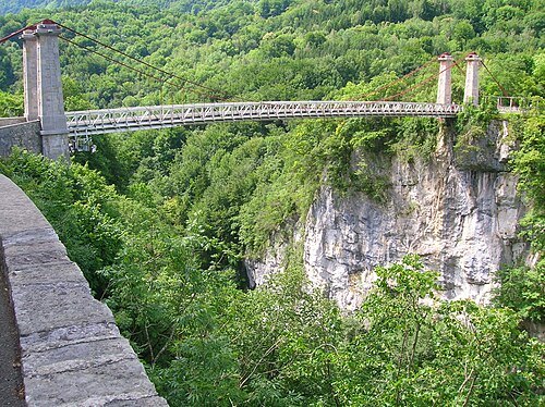 road bridge
Pont de l'Abîme
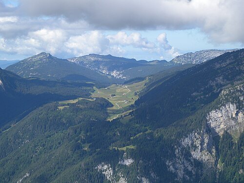
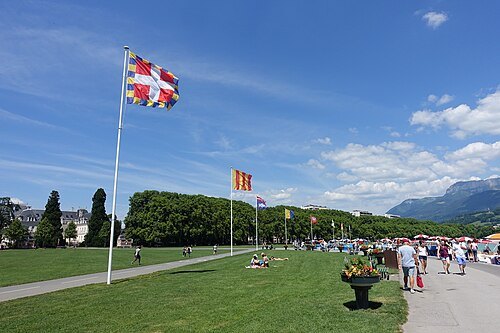
Guilhem Vellut from Annecy, France / CC BY 2.0
promenadeLe Pâquier
Getting there Nearest stop or station Annecy, about 5 min on foot OpenStreetMap
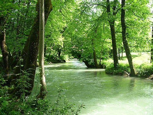 river
Eau morte
river in France
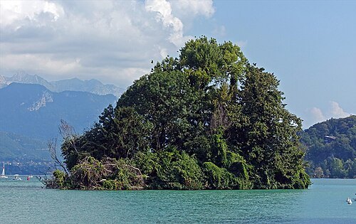 island
Île des Cygnes
island in Lake Annecy, France
Getting there Nearest stop or station Annecy, about 3 min on foot OpenStreetMap
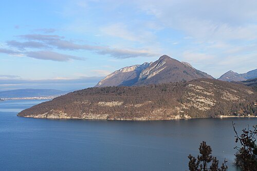
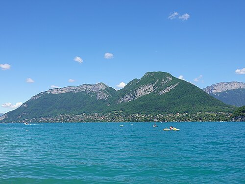
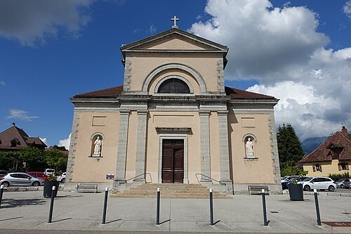
Guilhem Vellut from Annecy, France / CC BY 2.0
church buildingéglise Saint-Laurent d'Annecy-le-Vieux
church located in Haute-Savoie, in France
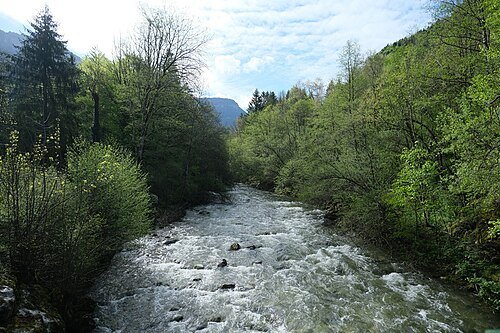
Guilhem Vellut from Annecy, France / CC BY 2.0
riverFillière
river in France
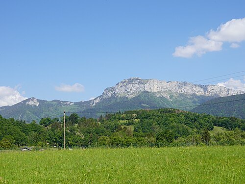
Guilhem Vellut from Annecy, France / CC BY 2.0
mountainLe Parmelan
mountain in France
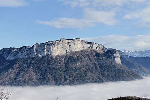 mountain
Mont Teret
mountain in France
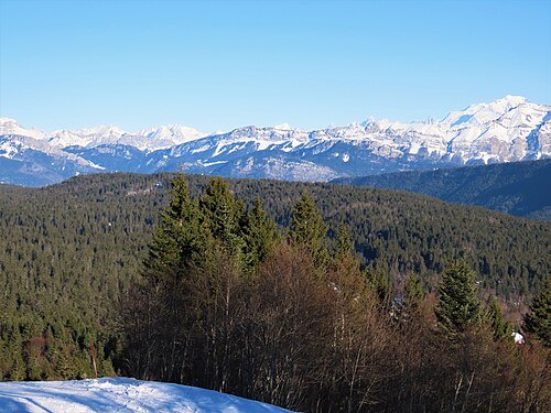 mountain
Montagne de Lachat
mountain in France
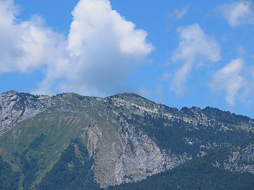 summit
Tête Ronde
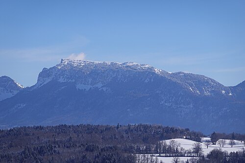
Guilhem Vellut from Annecy, France / CC BY 2.0
mountainMontagne de Sous-Dine
mountain in France
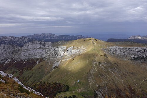
Guilhem Vellut from Annecy, France / CC BY 2.0
summitPointe de la Queblette
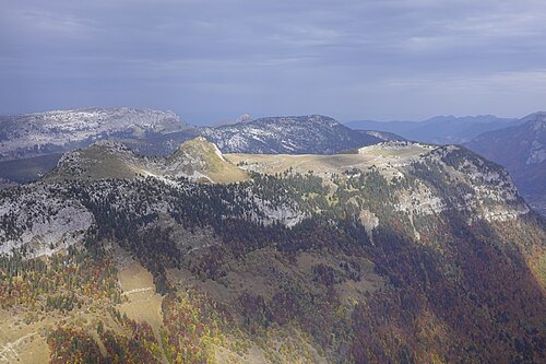
Guilhem Vellut from Annecy, France / CC BY 2.0
summitMontagne des Auges
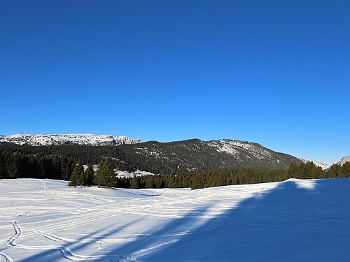 mountain
Montagne des Frêtes
mountain in France
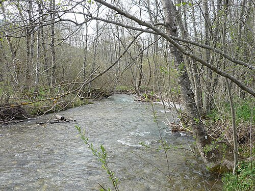 river
Ire
river in France
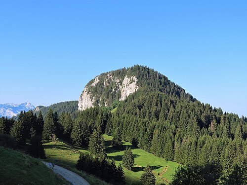 sports venue
Roche de Roux
mountain
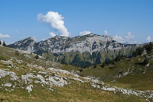
Guilhem Vellut from Annecy, France / CC BY 2.0
mountainMontagne de Cotagne
mountain in France
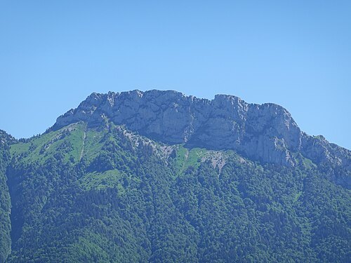
Guilhem Vellut from Annecy, France / CC BY 2.0
summitLanfonnet
summit in France
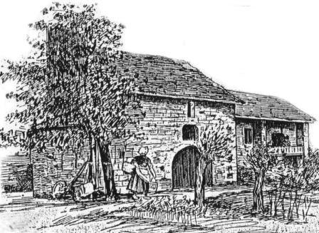
Unknown authorUnknown author / Public domain
abbeyAbbaye de Bonlieu
abbey located in Haute-Savoie, in France


Places to eat
- restaurant
Sapaudia Sainte-Claire
Food: pizza
- restaurant
Sapaudia Trattoria
Food: italian, pasta, pizza
- restaurant
Le Pékin
Food: chinese
Nothing here matches that. Clear a filter and try again.
Opening hours and tickets: OpenStreetMap contributors. Each one shows the day a volunteer last wrote it down, so check the official site before you set out.