Oulu: what to see and where to eat
Everything below comes from open data and each row says where it came from. We have not been to any of these places and we do not rank them.
Filters
Things to see
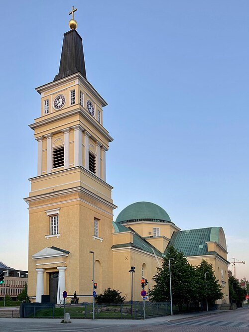
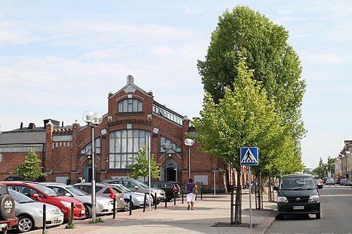
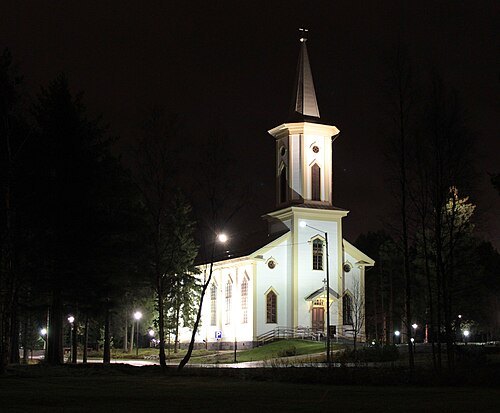
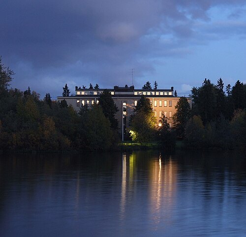 museum
Northern Ostrobothnia museum
museum in Oulu, Finland
Getting there Nearest stop or station Oulu, about 13 min on foot OpenStreetMap
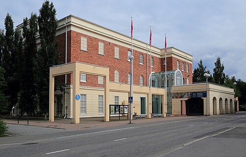
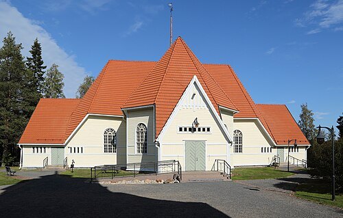
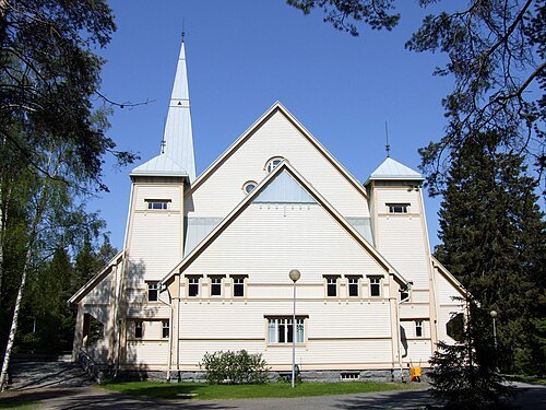
 museum
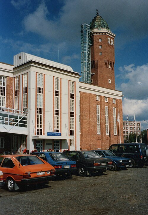
Tietomaa
science centre in Oulu, Finland
Getting there Nearest stop or station Oulu, about 12 min on foot OpenStreetMap
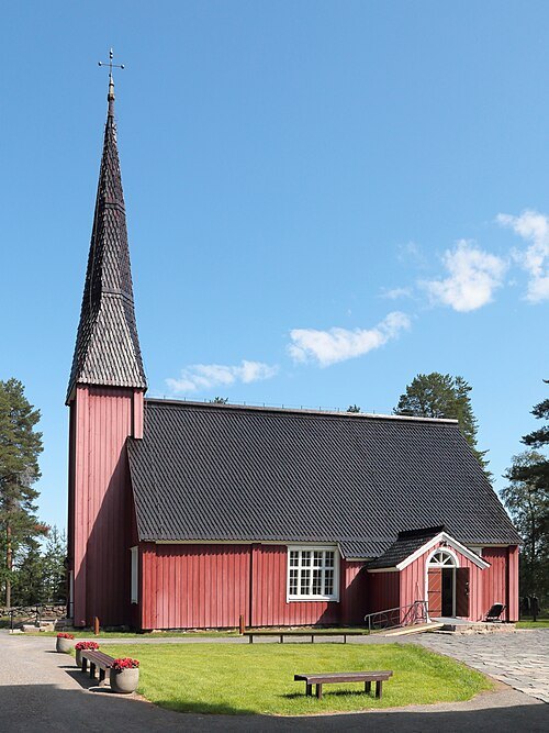
- sculpture
Toripolliisi
sculpture in Oulu, Finland
Getting there Nearest stop or station Oulu, about 15 min on foot OpenStreetMap
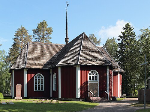
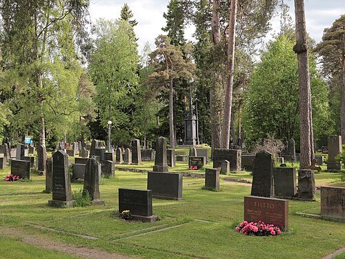
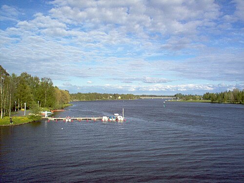
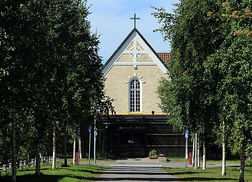
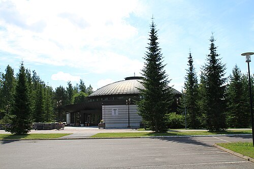
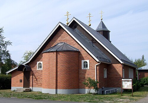 eastern orthodox church building
Holy Trinity Cathedral
orthodox cathedral church in Oulu, Finland
Getting there Nearest stop or station Oulun linja-autoasema, about 18 min on foot OpenStreetMap
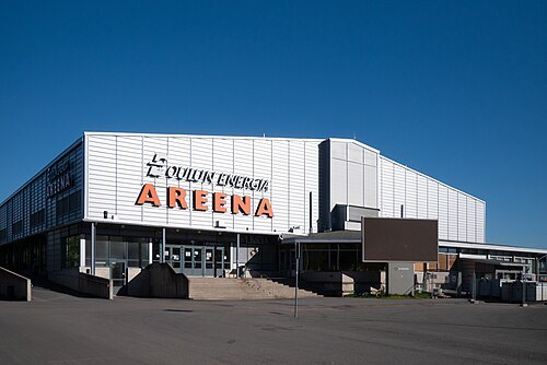
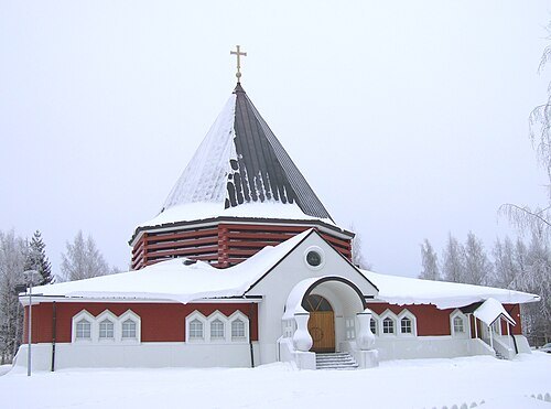
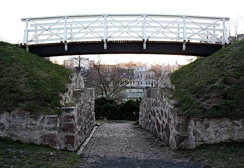
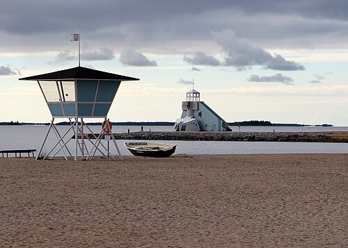
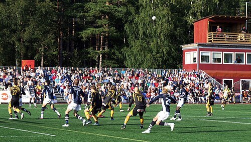
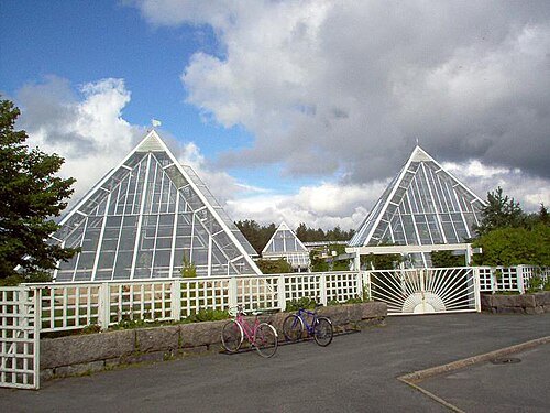
Gálaniitoluodda / CC BY-SA 4.0
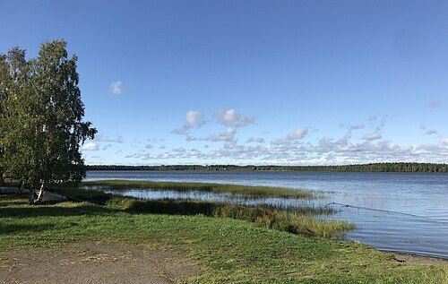
lakePyykösjärvi
lake in Oulu, Finland
Juhm at Finnish Wikipedia / Public domain
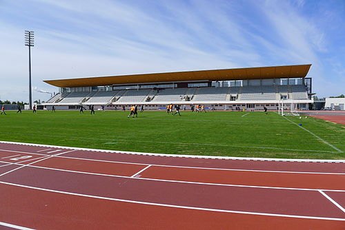
association football venueRaatti Stadium
athletics and football stadium in Oulu, Finland
Getting there Nearest stop or station Oulu, about 20 min on foot OpenStreetMap
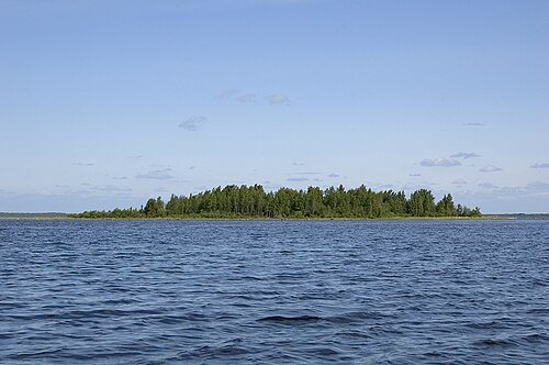
 island group
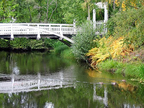
Hupisaaret Islands
park in Oulu, Finland
Getting there Nearest stop or station Oulu, about 14 min on foot OpenStreetMap
 river
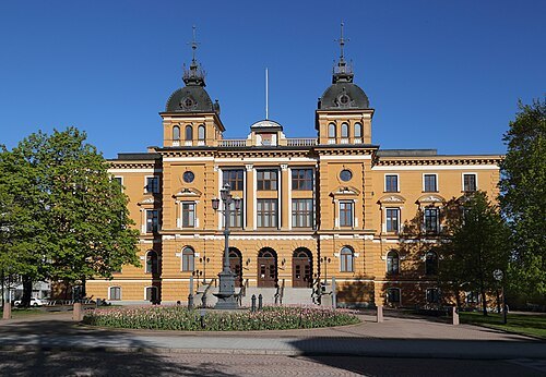
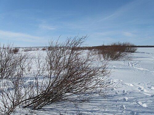
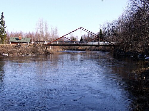
Temmesjoki
river in Northern Ostrobothnia region, Finland
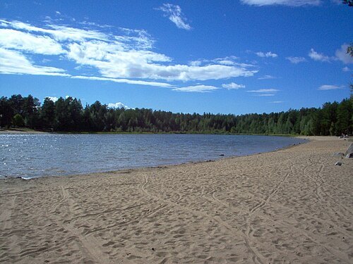
 lake
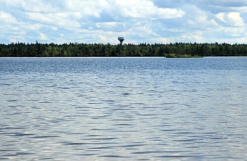
Papinjärvi
lake in Oulu, Finland
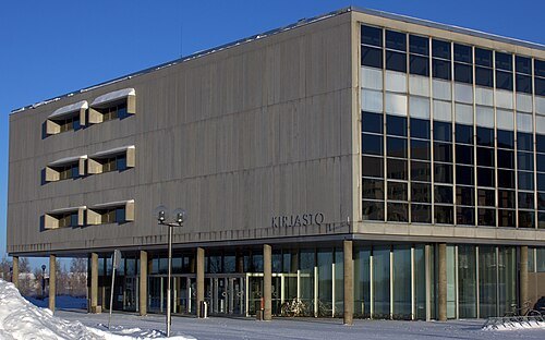
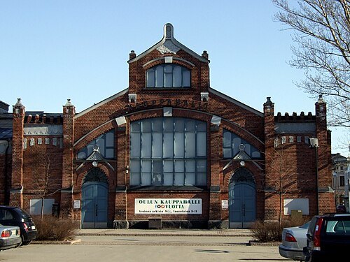
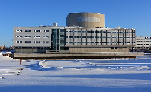
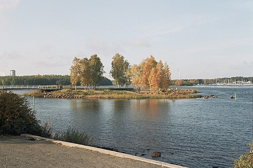
Methem (Mikko J. Putkonen) / Public domain
islandElba
island in Oulu, Finland
Getting there Nearest stop or station Oulu, about 20 min on foot OpenStreetMap
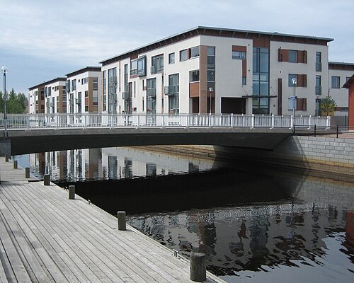 island
Kiikeli
island in Oulu, Finland
Getting there Nearest stop or station Oulu, about 19 min on foot OpenStreetMap
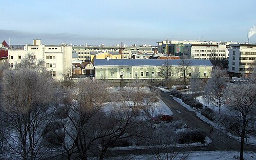 park
Mannerheim Park
park in Oulu, Finland
Getting there Nearest stop or station Oulun linja-autoasema, about 10 min on foot OpenStreetMap
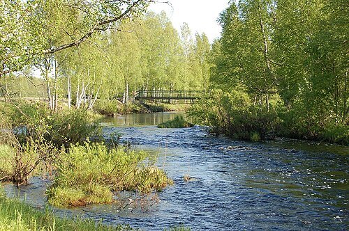 river
Sanginjoki
tributary of Oulujoki river in Finland
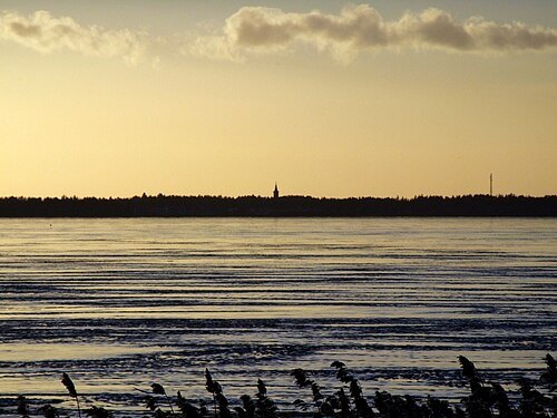
—Estormiz 17:56, 17 February 2007 (UTC) / Public domain
bayKempeleenlahti
bay in Oulu, Finland
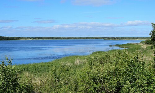 lagoon
Akionlahti
bay in Oulu, Finland
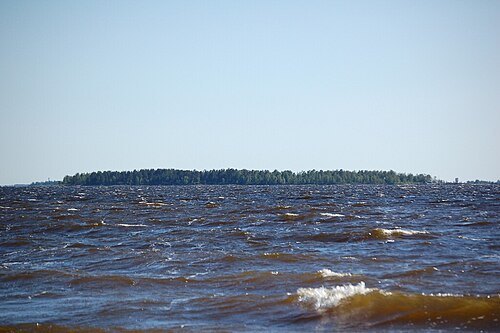 island
Kropsu
island in Oulu, Finland
- island
Runniletto
island in Oulu, Finland
- island
Varjakansaari
island in Oulu, Finland
- cape
Varjakka
village in Oulu, Finland
- bay
Kuivasmeri
bay in Oulu, Finland
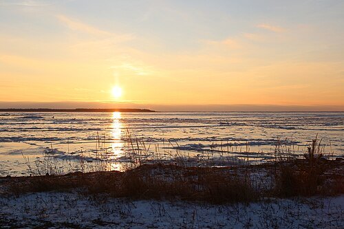 bay
Liminka Bay
bay of the Bothnian Bay in Northern Ostrobothnia region, Finland
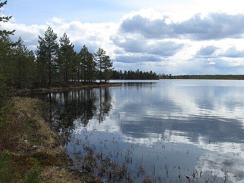 lake
Mourunkijärvi
lake in Kempele, Finland
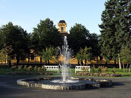 park
Heinätorinpuisto Park
park in Oulu, Finland
Getting there Nearest stop or station Oulun linja-autoasema, about 14 min on foot OpenStreetMap
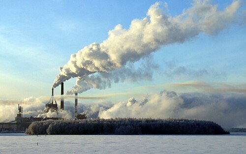 island
Hevossaari
island in Oulu, Finland
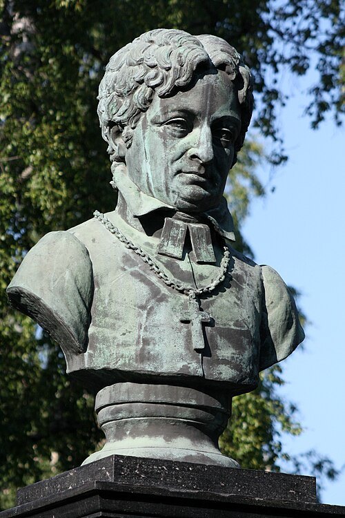
Statue by Erland Stenberg (1838–1896)Photo by Estormiz / Public domain
sculptureFrans Michael Franzén
sculpture in Oulu, Finland
Getting there Nearest stop or station Oulu, about 10 min on foot OpenStreetMap
 island
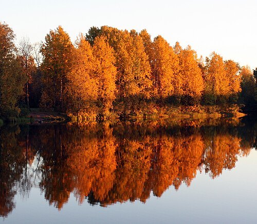
Lammassaari
island of Oulu, Finland
Getting there Nearest stop or station Oulu, about 15 min on foot OpenStreetMap
 lake
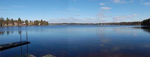
Jäälinjärvi
lake in Oulu, Finland
 lake
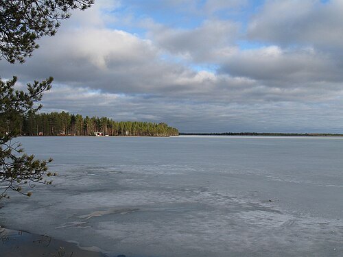
Hämeenjärvi
lake in Oulu, Finland
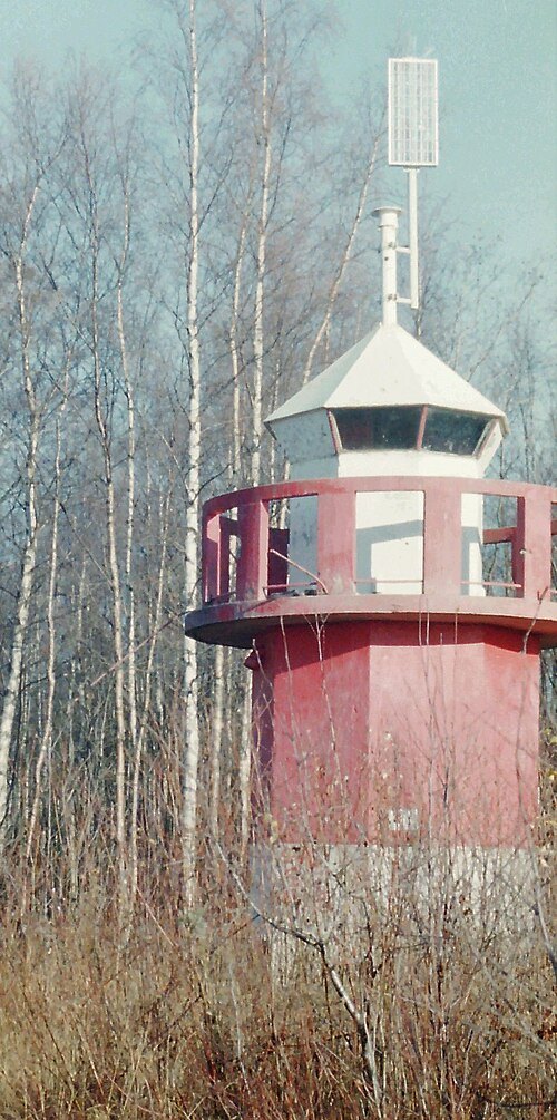
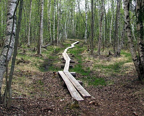
—Estormiz 11:36, 23 July 2006 (UTC) / Public domain
natura 2000 siteLetonniemi
Natura 2000 protected area in Oulu, Finland
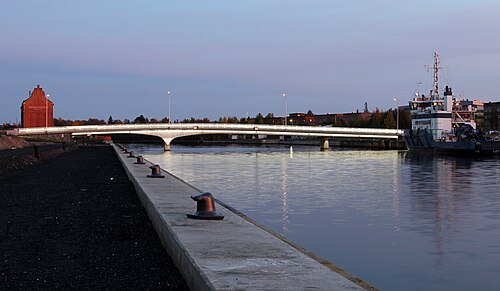
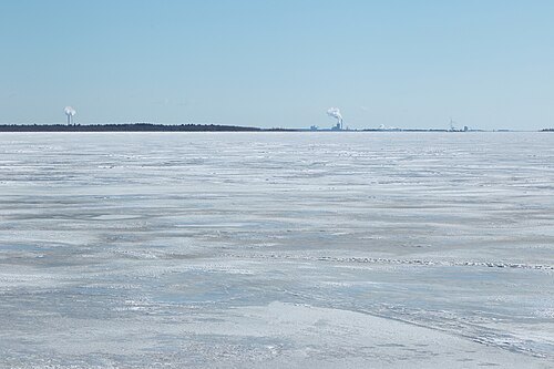 bay
Kellonlahti
bay in Oulu, Finland
- island
Rapakari
island in Oulu, Finland
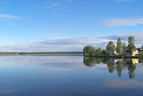 lake
Kuivasjärvi
lake in Oulu, Finland


Places to eat
- restaurant
Naughty BRGR
Food: burger
- restaurant
New York Pizza&Burger
Food: burger, pizza
- restaurant
Pizza Il Forno
Food: pizza
- restaurant
Pizzeria Lila
Food: burger, kebab, pizza
- cafe
Espresso House Oulu Toriportti
Food: coffee shop
- restaurant
Italica Taberna
Food: italian
- restaurant
Lähin Pizza Myllyoja
Food: pizza
- cafe
More Tea
Food: bubble tea
Nothing here matches that. Clear a filter and try again.
Opening hours and tickets: OpenStreetMap contributors. Each one shows the day a volunteer last wrote it down, so check the official site before you set out.