Cairo: what to see and where to eat
Everything below comes from open data and each row says where it came from. We have not been to any of these places and we do not rank them.
Filters
Things to see
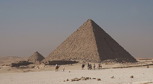
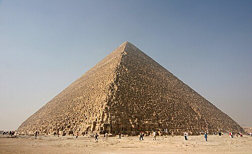 smooth-sided pyramid
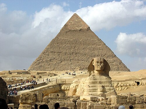
Great Pyramid of Giza
oldest and largest of the three pyramids in the Giza Necropolis; one of the seven ancient wonders of the world
Getting there Nearest stop or station Haram Mashaal Bus Stopping Area, about 17 min on foot OpenStreetMap
Holger Uwe Schmitt / CC BY-SA 4.0
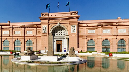
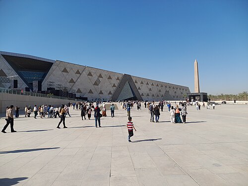
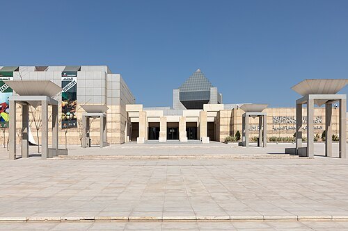
museum buildingEgyptian Museum
museum in Cairo
Getting there Nearest stop or station GoBus El Tahrir, about 3 min on foot OpenStreetMap
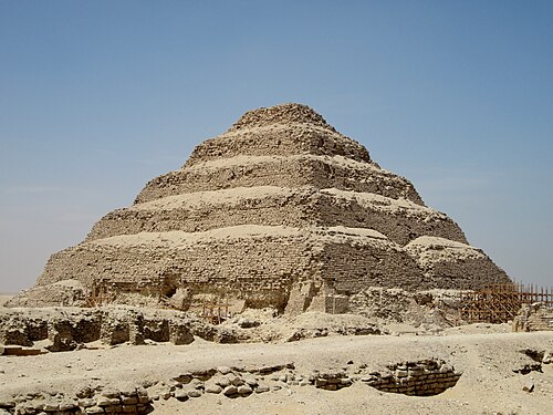
User:Berthold Werner / CC BY 3.0
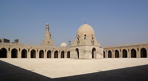
mosqueMosque of Ibn Tulun
mosque in Cairo, Egypt
Getting there Nearest stop or station Qalaa, about 13 min on foot OpenStreetMap
- archaeological site
El-Fustat
first capital of Islamic Egypt, in Old Cairo
Getting there Nearest stop or station Mar Girgis, about 12 min on foot OpenStreetMap
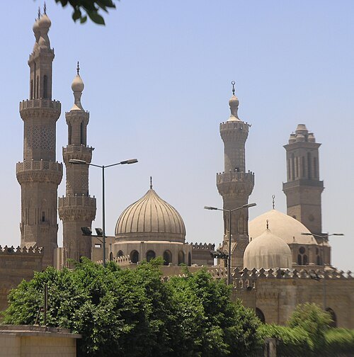 mosque
al-Azhar Mosque
mosque in Islamic Cairo, Egypt
Getting there Nearest stop or station Al Darrasa Terminal, about 11 min on foot OpenStreetMap
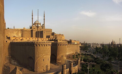
Ahmed Al.Badawy from Cairo, Egypt / CC BY-SA 2.0
fortificationCairo Citadel
medieval Islamic-era fortification in Cairo, Egypt
Getting there Nearest stop or station Qalaa, about 5 min on foot OpenStreetMap
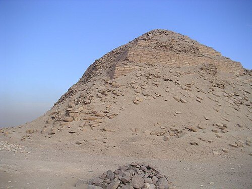
No machine-readable author provided. Neithsabes assumed (based on copyright claims). / Public domain
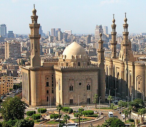
Dennis G. Jarvis / CC BY-SA 2.0
mosqueMosque-Madrassa of Sultan Hassan
mosque in Egypt
Getting there Nearest stop or station Qalaa, about 4 min on foot OpenStreetMap
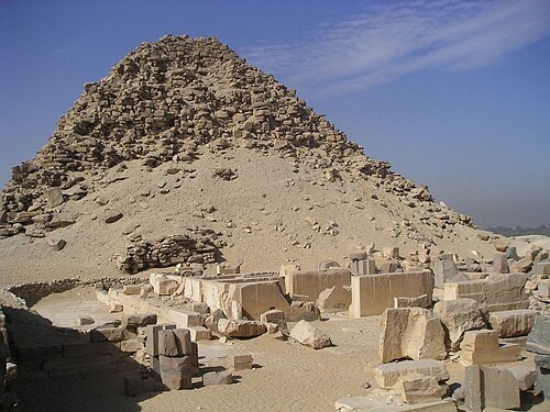
No machine-readable author provided. Neithsabes assumed (based on copyright claims). / Public domain
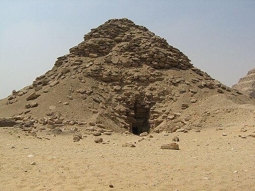
No machine-readable author provided. Neithsabes assumed (based on copyright claims). / Public domain
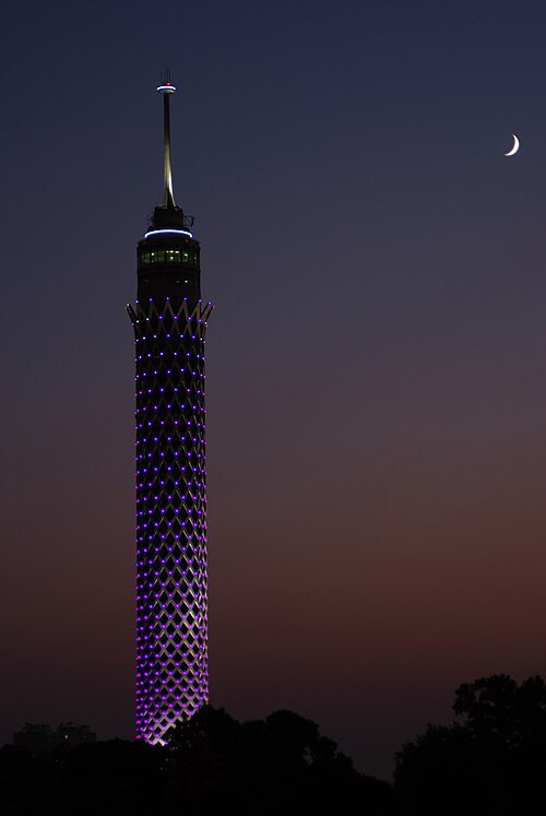 television tower
Cairo Tower
free-standing concrete tower in Zamalek, Cairo, Egypt
Getting there Nearest stop or station Opera, about 7 min on foot OpenStreetMap
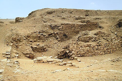
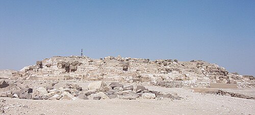
No machine-readable author provided. AhlyMan assumed (based on copyright claims). / Public domain
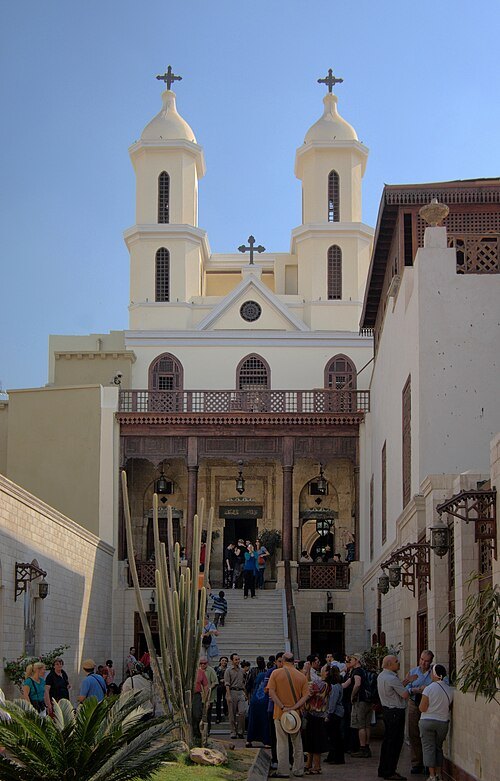
Berthold Werner / CC BY-SA 3.0
church buildingHanging Church
church in Cairo, Egypt
Getting there Nearest stop or station Mar Girgis, about 1 min on foot OpenStreetMap
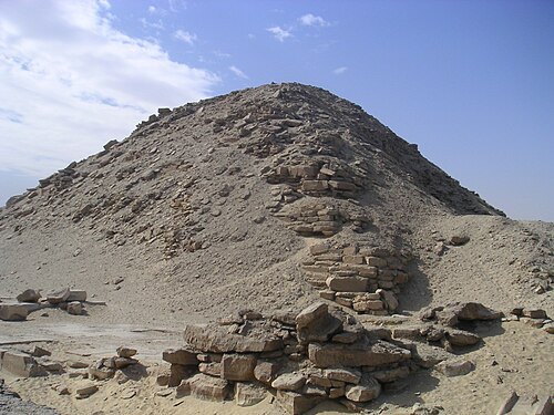
Gérard Ducher (user:Néfermaât) / CC BY-SA 2.5
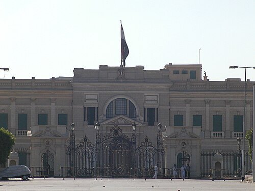
royal palaceAbdeen Palace
palace of Cairo, Egypt
Getting there Nearest stop or station موقف مستشفى احمد ماهر, about 5 min on foot OpenStreetMap
No machine-readable author provided. Neithsabes assumed (based on copyright claims). / Public domain
 mosque
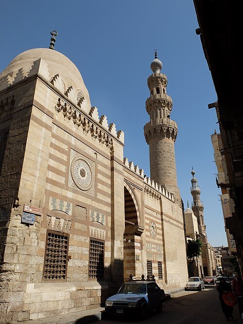
Aqsunqur Mosque
mosque in Egypt
Getting there Nearest stop or station Qalaa, about 12 min on foot OpenStreetMap
- history museum
Coptic Museum
museum in Coptic Cairo, Egypt
Getting there Nearest stop or station Mar Girgis, about 2 min on foot OpenStreetMap
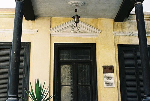
Zerida at English Wikipedia (Original text: — Zerida) / CC BY-SA 3.0
synagogueBen Ezra Synagogue
building in Egypt
Getting there Nearest stop or station Mar Girgis, about 2 min on foot OpenStreetMap
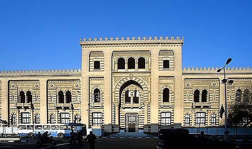 history museum
Museum of Islamic Art
art museum in Cairo, Egypt
Getting there Nearest stop or station موقف مستشفى احمد ماهر, about 10 min on foot OpenStreetMap
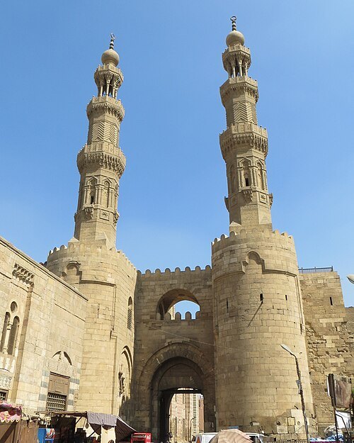 city gate
Bab Zuweila
gate in the Old City of Cairo, Egypt
Getting there Nearest stop or station موقف مستشفى احمد ماهر, about 13 min on foot OpenStreetMap
- amusement park
Dream Park
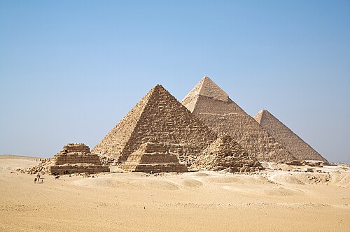
Ricardo Liberato / CC BY-SA 2.0
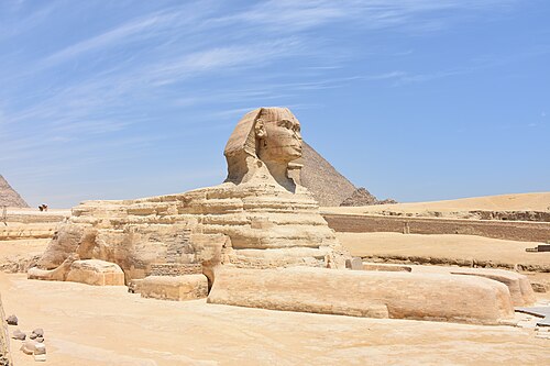
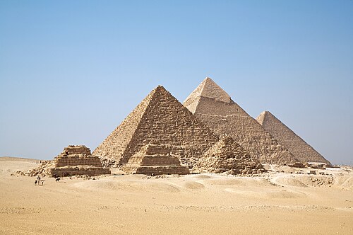
ancient egyptian necropolisGiza Necropolis
part of the archaeological site on the Giza plateau, near Cairo, Egypt
Getting there Nearest stop or station 28 Bus Station, about 13 min on foot OpenStreetMap
 ancient city
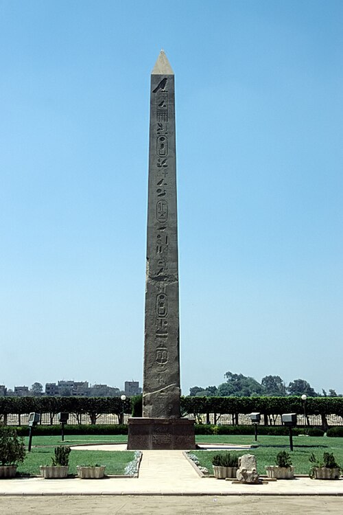
Heliopolis
city of ancient Egypt
Getting there Nearest stop or station Masallah Al Gadeda (Matareyya), about 18 min on foot OpenStreetMap
 square
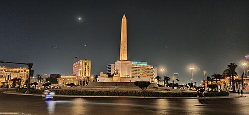
Tahrir Square
public town square in Downtown Cairo, Egypt
Getting there Nearest stop or station Sadat, about 1 min on foot OpenStreetMap
 mosque
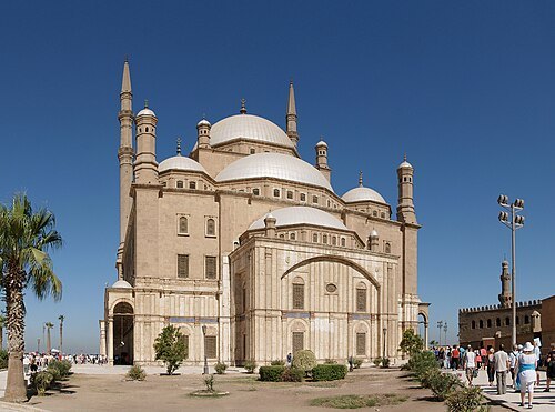
Muhammad Ali Mosque
mosque in Egypt
Getting there Nearest stop or station Qalaa, about 3 min on foot OpenStreetMap
No machine-readable author provided. Bradipus assumed (based on copyright claims). / CC BY-SA 3.0
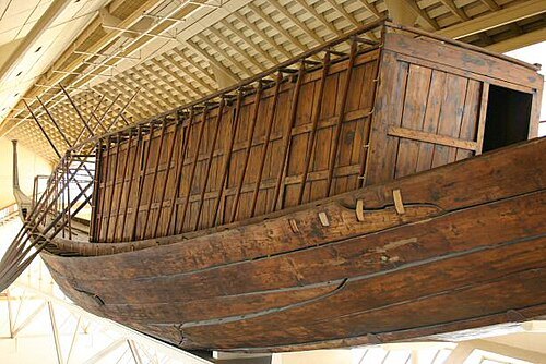
preserved watercraftKhufu ship
Intact vessel from Ancient Egypt
Getting there Nearest stop or station Haram Mashaal Bus Stopping Area, about 18 min on foot OpenStreetMap
No machine-readable author provided. AhlyMan assumed (based on copyright claims). / Public domain
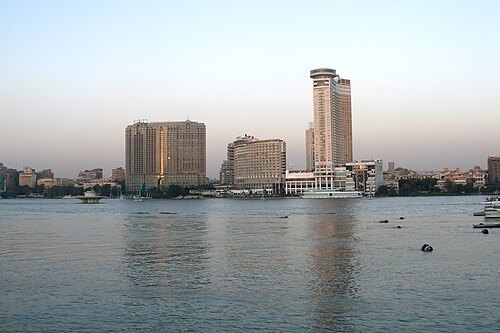
Vyacheslav Argenberg / CC BY 4.0
river islandRhoda Island
urban district
Getting there Nearest stop or station الروضه, about 9 min on foot OpenStreetMap
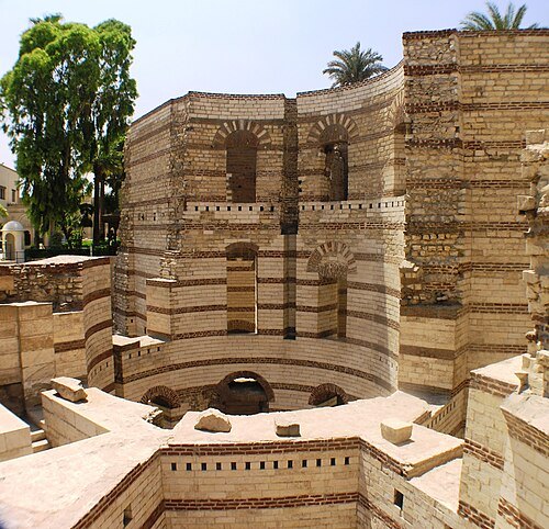 fortress
Babylon Fortress
Fortification located in Coptic Cairo, Egypt
Getting there Nearest stop or station Mar Girgis, about 1 min on foot OpenStreetMap
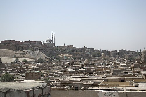 islamic cemetery
City of the Dead
cemetery in Egypt
Getting there Nearest stop or station Al Darrasa Terminal, about 10 min on foot OpenStreetMap
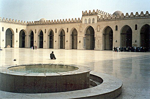
Michel Benoist Mbenoist at fr.wikipedia / CC BY 2.5
mosqueAl-Hakim Mosque
mosque in Egypt
Getting there Nearest stop or station Bab el Shaaria, about 12 min on foot OpenStreetMap
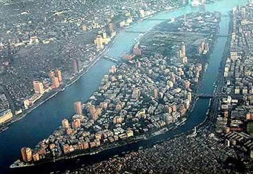
Abdallah (talk) / CC BY-SA 3.0
river islandGezira Island
island in the Nile River, in Cairo, Egypt
Getting there Nearest stop or station Opera, about 19 min on foot OpenStreetMap
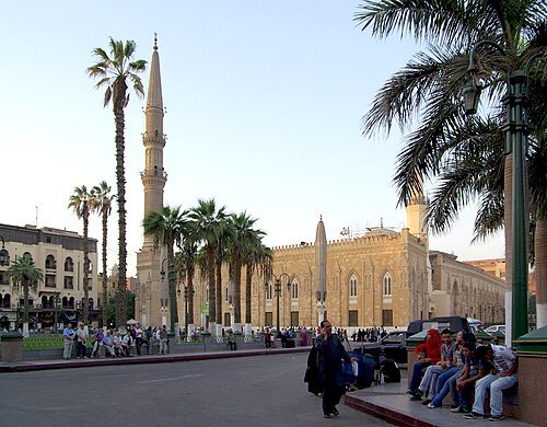 mosque
Al-Hussein Mosque
mosque in Egypt
Getting there Nearest stop or station Al Darrasa Terminal, about 10 min on foot OpenStreetMap
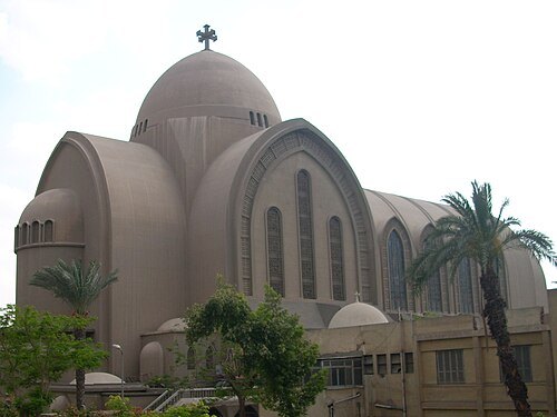 eastern orthodox cathedral
Saint Mark's Coptic Orthodox Cathedral
cathedral
Getting there Nearest stop or station Al-Demerdash, about 9 min on foot OpenStreetMap
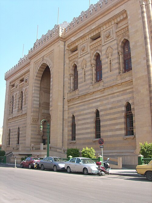 national library
Egyptian National Library and Archives
Egyptian National Library and Archives
Getting there Nearest stop or station Safaa Hegazy, about 10 min on foot OpenStreetMap
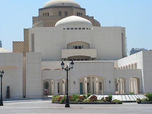
The original uploader was ThutmoseIII at English Wikipedia. / CC BY-SA 3.0
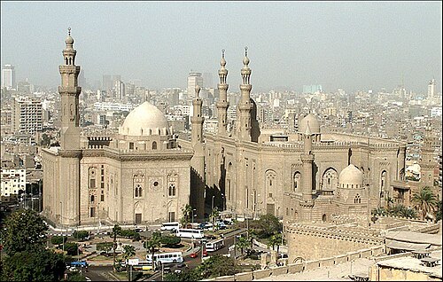
Original uploader was Chris Karman at nl.wikipedia / CC BY-SA 3.0
mausoleumAl-Rifa'i Mosque
mosque in Egypt
Getting there Nearest stop or station Qalaa, about 6 min on foot OpenStreetMap
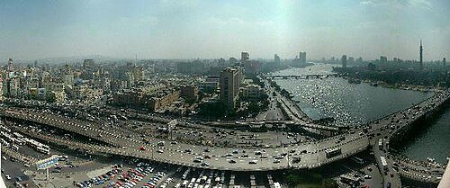 road bridge
6th October Bridge
road bridge
Getting there Nearest stop or station GoBus El Tahrir, about 6 min on foot OpenStreetMap
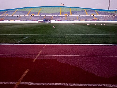
Crosskimo at English Wikipedia / Public domain
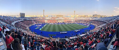
stadium30 June Stadium
Stadium located in Cairo, Egypt
Getting there Nearest stop or station Moushir Tantawi, about 14 min on foot OpenStreetMap
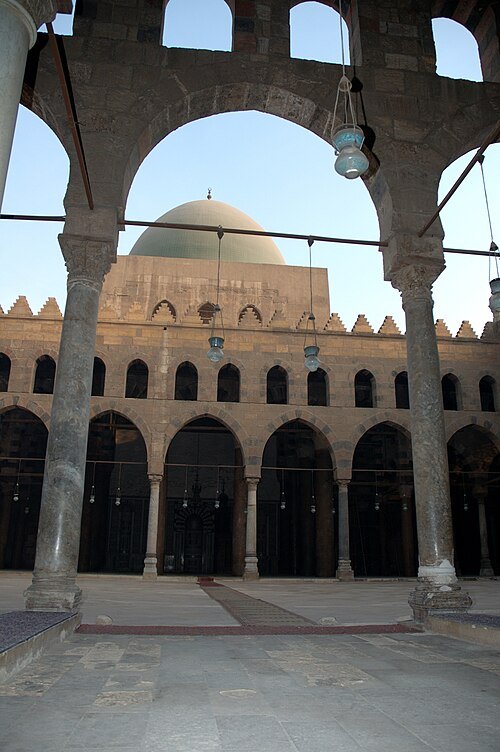
Thebigape at English Wikipedia (Original text: William E. Purnell en:User:Thebigape) / CC BY-SA 3.0
mosqueAl-Nasir Muhammad Mosque
mosque in Cairo, Egypt
Getting there Nearest stop or station Qalaa, about 5 min on foot OpenStreetMap
 archaeological site
El Mataria
urban district
Getting there Nearest stop or station Masallah Al Gadeda (Matareyya), about 18 min on foot OpenStreetMap
- city gate
Bab al-Futuh
- zoo
Giza Zoo
- park
Aquarium Grotto Garden
- amusement park
Pharaonic Village
- amusement park
Luna Park, Cairo


Places to eat
- cafe
المصطبه
Food: جميع انواع الجاتوه السريع والترت
- cafe
Location Cafe
Food: coffee shop, sandwich, pizza, kebab
- restaurant
Sudan Restaurant
Food: african
- restaurant
Tabali Zamalek
Food: breakfast
- cafe
قهوة المعلم احمد يونس
Food: coffee shop, crepe, diner, donut, arab, breakfast, burger, cake, chicken, hot dog, ice cream, italian pizza, kebab, pancake, pasta, pizza, sandwich, sausage, seafood, tea
Nothing here matches that. Clear a filter and try again.
Opening hours and tickets: OpenStreetMap contributors. Each one shows the day a volunteer last wrote it down, so check the official site before you set out.