Guayaquil: what to see and where to eat
Everything below comes from open data and each row says where it came from. We have not been to any of these places and we do not rank them.
Filters
Things to see
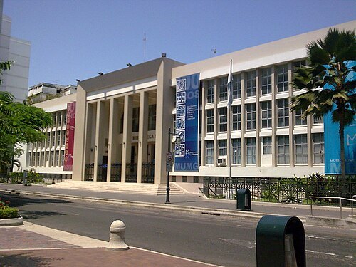
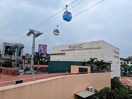 art museum
Museo Antropologico y de Arte Contemporaneo
museum in Ecuador
Getting there Nearest stop or station Cuatro Mosqueteros, about 2 min on foot OpenStreetMap
- park
Parque seminario
park in Ecuador
Getting there Nearest stop or station Terminal Metrovia - 25 De Julio, about 9 min on foot OpenStreetMap
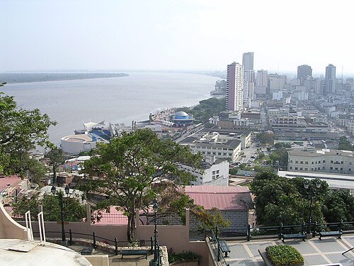
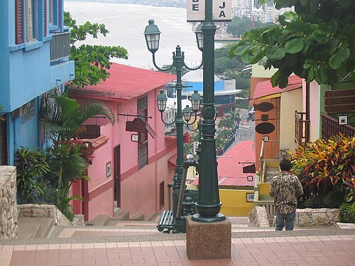 hill
Santa Ana Hill
hill in Guayaquil, Ecuador
Getting there Nearest stop or station Aerovía, about 8 min on foot OpenStreetMap
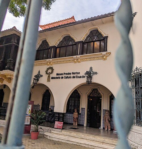 museum
Presley Norton Museum
Guayaquil, Ecuador
Getting there Nearest stop or station Parque Centenario, about 11 min on foot OpenStreetMap
Chancho Panza from Münster, Germany (de:Benutzer:Chigliak on Wikipedia) / CC BY-SA 2.0
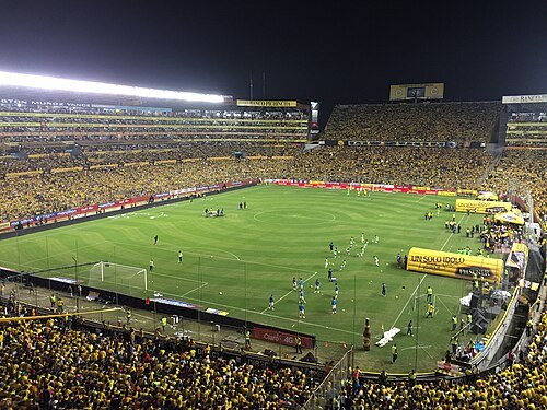
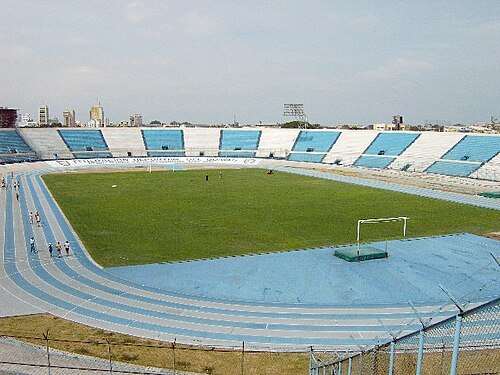
association football venueEstadio Modelo Alberto Spencer Herrera
football stadium in Guayaquil, Ecuador
Getting there Nearest stop or station Metrovia Coliseo Cerrado, about 7 min on foot OpenStreetMap
Agencia de Noticias ANDES / CC BY-SA 2.0
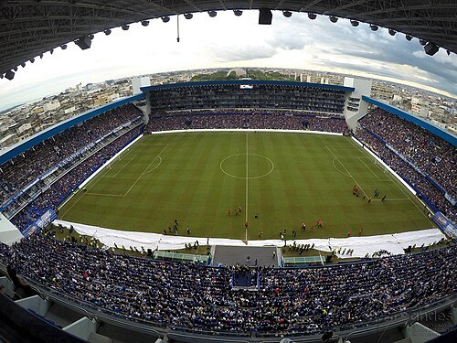
association football venueEstadio George Capwell
Multi-purpose stadium in Guayaquil, Ecuador
Getting there Nearest stop or station Muelle - San José, about 17 min on foot OpenStreetMap
Agencia de Noticias ANDES / CC BY-SA 2.0
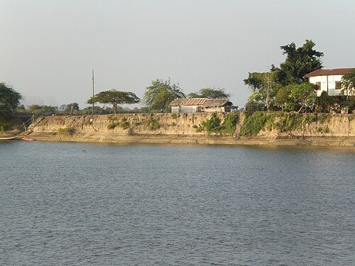
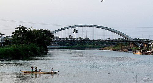
riverBabahoyo River
river in Ecuador
Getting there Nearest stop or station Durán, about 17 min on foot OpenStreetMap
 cathedral
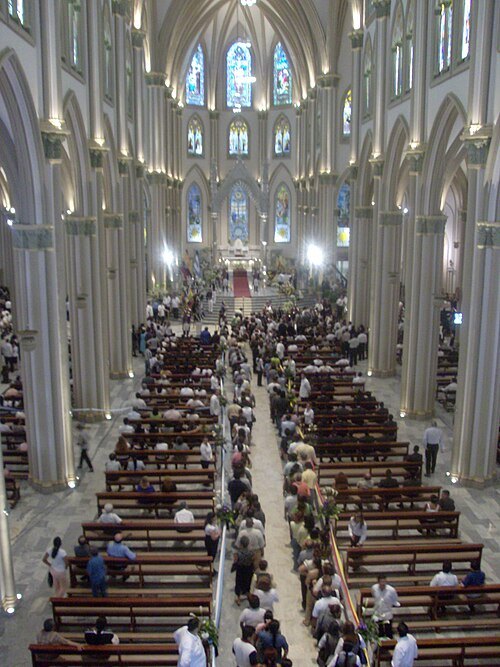
Guayaquil Metropolitan Cathedral
church in Guayaquil, Ecuador
Getting there Nearest stop or station Estación Aerovía, about 12 min on foot OpenStreetMap
 library
Biblioteca Municipal de Guayaquil
library
Getting there Nearest stop or station Muelle - Calle Brasil, about 14 min on foot OpenStreetMap
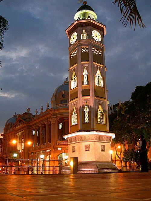 clock tower
Torre Morisca, Guayaquil
clock tower in Guayaquil, Ecuador
Getting there Nearest stop or station Cuatro Mosqueteros, about 16 min on foot OpenStreetMap
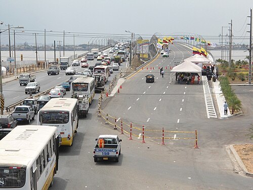 road bridge
National Unity Bridge
bridge in Ecuador
Getting there Nearest stop or station Muelle de Fibras, about 16 min on foot OpenStreetMap
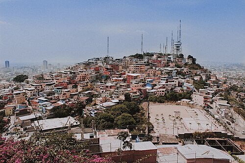
Andres.aparicio.castillo / CC BY-SA 4.0
hillCerro del Carmen
hill in Guayaquil, Ecuador
Getting there Nearest stop or station Julián Coronel, about 8 min on foot OpenStreetMap
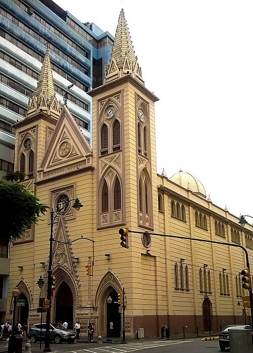 basilica
Basilica La Merced
Getting there Nearest stop or station Cuatro Mosqueteros, about 11 min on foot OpenStreetMap
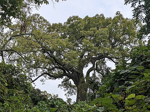
Bärbel Miemietz / CC BY-SA 4.0
protected areaCerro Blanco Forest
protected forest in Ecuador
Getting there Nearest stop or station Terminal Portuario Puerto Hondo, about 19 min on foot OpenStreetMap
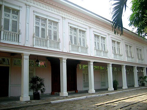 park
Parque Histórico de Guayaquil
park in Samborondón Canton, Ecuador
Getting there Nearest stop or station Terminal Río Daule, about 19 min on foot OpenStreetMap
- mountain range
Cerros de Yolán
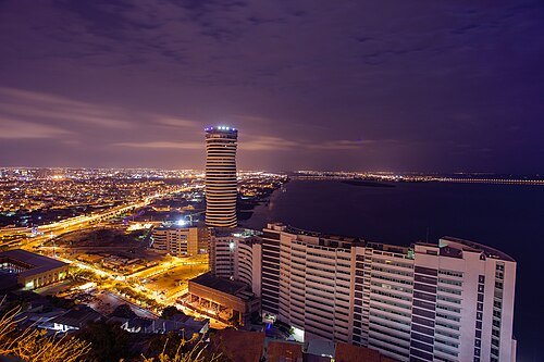 tower block
Torre The Point
Concrete-and-glass skyscraper in Ecuador, currently tallest building in the country
Getting there Nearest stop or station Aerovía, about 12 min on foot OpenStreetMap
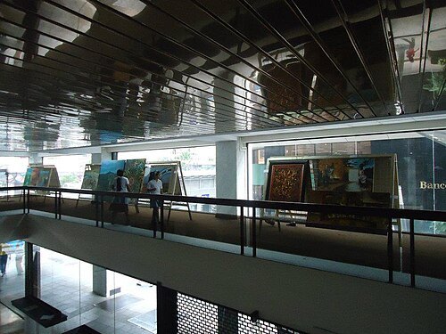 museum
Luis Adolfo Noboa Naranjo Museum
Getting there Nearest stop or station Cuatro Mosqueteros, about 12 min on foot OpenStreetMap
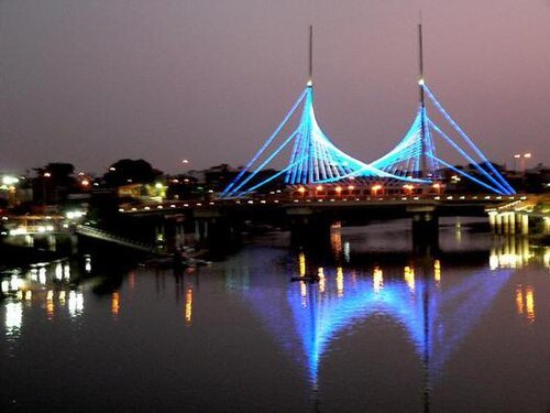
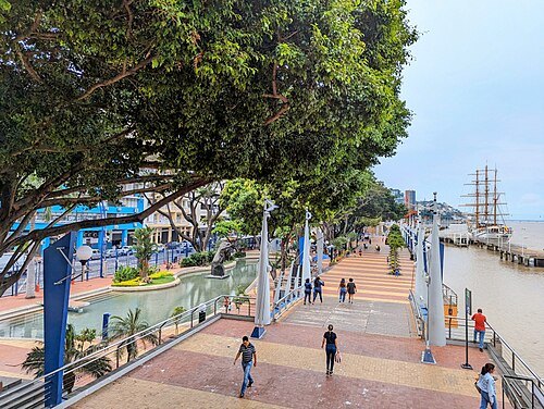 boardwalk
Malecón 2000
Guayaquil, Ecuador
Getting there Nearest stop or station Cuatro Mosqueteros, about 16 min on foot OpenStreetMap
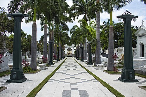
Natalia Cartolini / CC BY-SA 4.0
cemeteryGeneral Cemetery of Guayaquil
Getting there Nearest stop or station Julián Coronel, about 3 min on foot OpenStreetMap
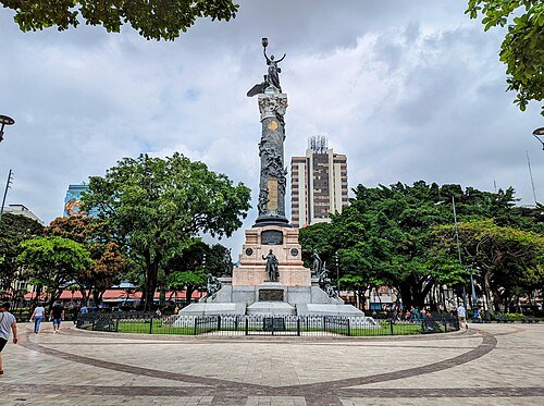 park
Parque Centenario de Guayaquil
park in Guayas Province, Ecuador
Getting there Nearest stop or station Estación Aerovía, about 2 min on foot OpenStreetMap


Places to eat
- restaurant
Rachy's Restorant
Food: regional
- restaurant
Ricuras Bolon
Food: sushi
- restaurant
Carmaos
Food: seafood
- restaurant
Los consentidos del chef
Food: regional, local
Nothing here matches that. Clear a filter and try again.
Opening hours and tickets: OpenStreetMap contributors. Each one shows the day a volunteer last wrote it down, so check the official site before you set out.