Baños: what to see and where to eat

Everything below comes from open data and each row says where it came from. We have not been to any of these places and we do not rank them.

14,100 people live here

Distances are straight-line and the walking time is an estimate, not a route.

Filters

Things to see

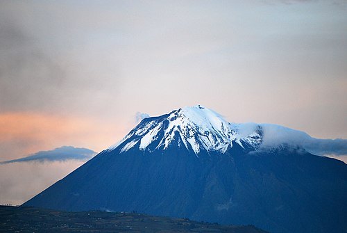
  • Tungurahua volcano

    Dabit100 / David Torres Costales / CC BY-SA 3.0

    mountain

    Tungurahua volcano

    volcano in Ecuador

    Opening hours Not checked

    Admission Not checked

    About 8 km from the city centre

    Map

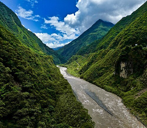
  • Pastaza River

    F Delventhal / CC BY 2.0

    river

    Pastaza River

    tributary of the Marañón River in Ecuador and Peru

    Opening hours Not checked

    Admission Not checked

    Map

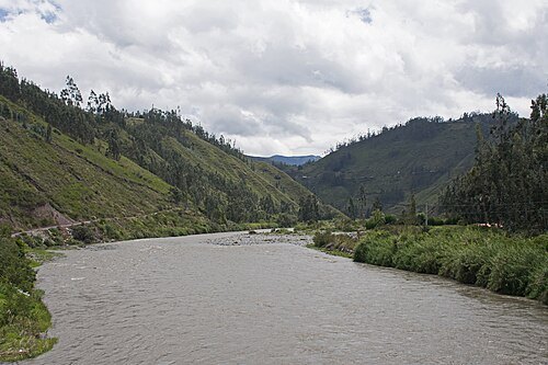
  • Chambo River

    Ymblanter / CC BY-SA 4.0

    river

    Chambo River

    right headwater of the Pastaza River in Ecuador

    Opening hours Not checked

    Admission Not checked

    About 90 km from the city centre

    Map

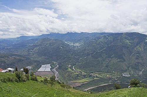
  • Patate River

    Ymblanter / CC BY-SA 4.0

    river

    Patate River

    left tributary of the Pastaza River in Ecuador

    Opening hours Not checked

    Admission Not checked

    Map

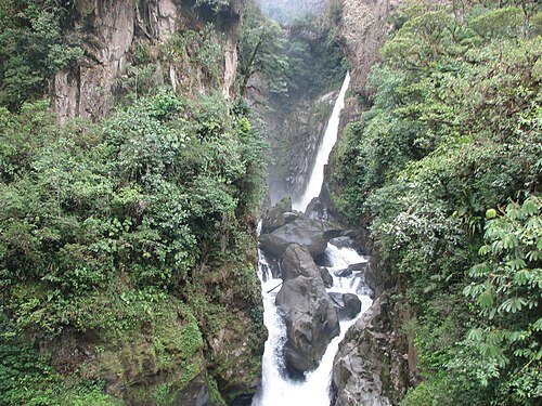
  • Cascada el Pailón del Diablo(dueño el walter)

    Krosto / CC BY-SA 3.0

    waterfall

    Cascada el Pailón del Diablo(dueño el walter)

    waterfall in Ecuador

    Opening hours Not checked

    Admission Not checked

    Getting there Nearest stop or station trucks that carry bikes and passengers back to Baños, about 3 min on foot OpenStreetMap

    About 14 km from the city centre

    Map

  • river

    Verde River

    left tributary of the Pastaza River in Tungurahua Province, Ecuador

    Opening hours Not checked

    Admission Not checked

    Getting there Nearest stop or station trucks that carry bikes and passengers back to Baños, about 5 min on foot OpenStreetMap

    About 14 km from the city centre

    Map

  • mountain range

    Cordillera de los Leones

    Opening hours Not checked

    Admission Not checked

    About 11 km from the city centre

    Map

  • river

    Puela River

    right tributary of the Chambo River in Chimborazo Province, Ecuador

    Opening hours Not checked

    Admission Not checked

    About 17 km from the city centre

    Map

  • mountain range

    Cordillera de Llimpi

    Opening hours Not checked

    Admission Not checked

    About 18 km from the city centre

    Map

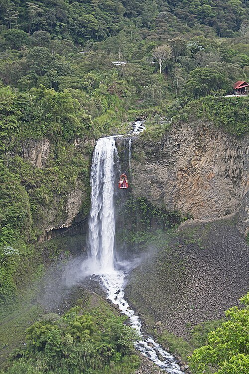
  • Manto de la Novia

    Ymblanter / CC BY-SA 4.0

    waterfall

    Manto de la Novia

    waterfall in Tungurahua, Ecuador

    Opening hours Not checked

    Admission Not checked

    About 10 km from the city centre

    Map

  • mountain

    Mulmul

    mountain in Ecuador

    Opening hours Not checked

    Admission Not checked

    About 13 km from the city centre

    Map

  • volcano

    Volcán Tungurahua

    Opening hours Not checked

    Admission Not checked

    Map

Places to eat

  • restaurant

    La Hueca

    Food: steak house, barbecue

    Mo-Su 14:00-02:00

    Map

  • restaurant

    La Oreja de Elefante

    Food: pizza, regional, seafood, steak house

    Th-Tu 12:00-21:00

    Baños de Agua Santa

    Map

  • restaurant

    Sher E Punjab - El Rincon de la India

    Food: indian

    Mo-Su 12:00-22:00

    Map

  • cafe

    Aromé Delicatessen

    Food: café, té, chocolate, postres, etc

    Mo-Su 09:00-14:00, 16:00-22:00

    Baños de Agua Santa

    Map

  • restaurant

    Casa Hood

    Food: internacional

    12:00-22:15

    Baños

    Map

  • cafe

    Deli Store

    Food: coffee shop, chocolate shop

    Mo-Su 09:00-20:30

    Baños de Agua Santa

    Map

  • restaurant

    Los Leños

    Food: regional

    Su-Th 08:00-14:00; Fr-Sa 08:00-16:00

    Banos

    Map

Opening hours and tickets: OpenStreetMap contributors. Each one shows the day a volunteer last wrote it down, so check the official site before you set out.

Nothing picked yet
    Add a place that is not listed here

    One per line. Pasting a list works too.

    Ecuador