Santa Clara: what to see and where to eat

Everything below comes from open data and each row says where it came from. We have not been to any of these places and we do not rank them.

247,436 people live here

Nearest airport: Abel Santamaría International Airport (SNU), about 9.12 km from the centre

Distances are straight-line and the walking time is an estimate, not a route.

Filters

Things to see

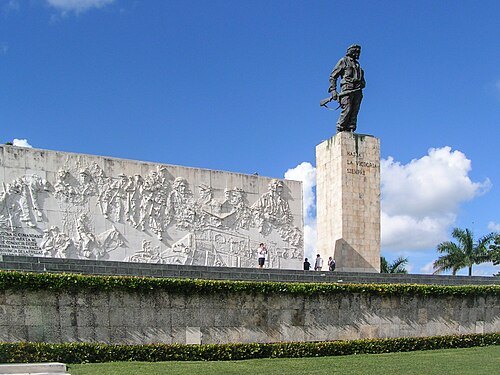
  • Che Guevara Mausoleum

    Man-ucommons / CC BY-SA 3.0

    mausoleum

    Che Guevara Mausoleum

    memorial in Santa Clara, Cuba

    Opening hours Not checked

    Free to enter OpenStreetMap, written 2026-04-02

    Getting there Nearest stop or station Terminal de Ómnibus Intermunicipal. Villa Clara, about 10 min on foot OpenStreetMap
    Map

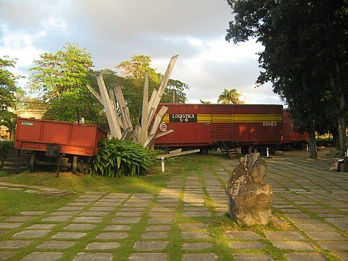
  • Tren Blindado

    Dэя-Бøяg / CC BY-SA 4.0

    national monument

    Tren Blindado

    national monument, memorial and museum in Santa Clara, Cuba

    Opening hours Not checked

    Ticket needed OpenStreetMap, written 2025-03-27

    Getting there Nearest stop or station Santa Clara, about 11 min on foot OpenStreetMap
    Map

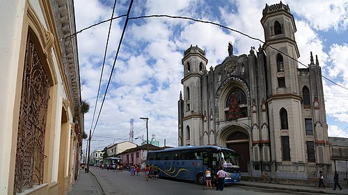
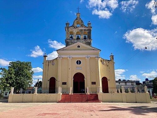
  • Catedral de Santa Clara de Asis

    Lezumbalaberenjena / CC BY-SA 3.0

    cathedral

    Catedral de Santa Clara de Asis

    church in Santa Clara, Cuba

    Opening hours Not checked

    Admission Not checked

    Getting there Nearest stop or station Terminal de Ómnibus Intermunicipal. Villa Clara, about 10 min on foot OpenStreetMap
    Map

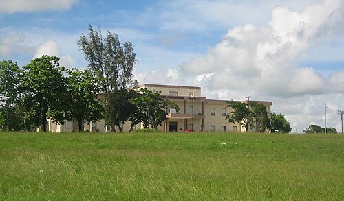
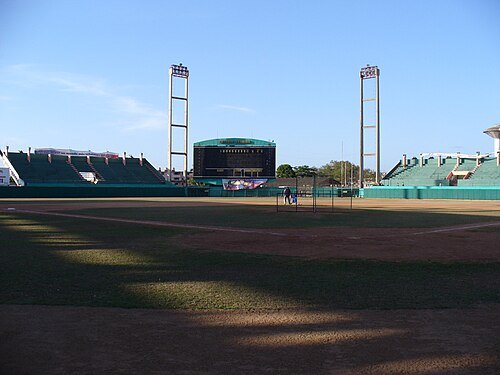
  • Estadio Augusto César Sandino

    Lexus / Public domain

    stadium

    Estadio Augusto César Sandino

    Sports venue in Cuba

    Opening hours Not checked

    Admission Not checked

    Map

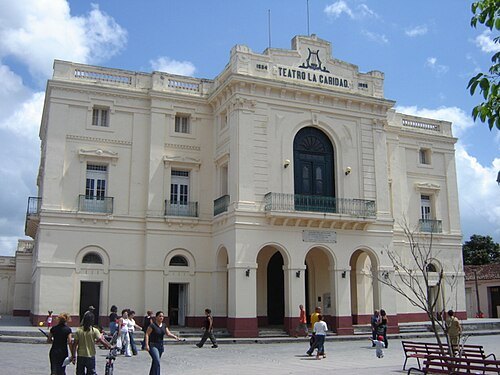
  • Teatro La Caridad

    Lezumbalaberenjena at en.wikipedia / Public domain

    theatre building

    Teatro La Caridad

    theatre in Cuba

    Opening hours Not checked

    Admission Not checked

    Getting there Nearest stop or station Estación de Ferrocarriles "Marta Abreu" Santa Clara, about 10 min on foot OpenStreetMap
    Map

  • mountain range

    Sierra de Escambray

    Opening hours Not checked

    Admission Not checked

    About 20 km from the city centre

    Map

  • mountain range

    Sierra Alta de Agabama

    Opening hours Not checked

    Admission Not checked

    About 16 km from the city centre

    Map

  • Villa Clara Provincial Museum

    Dэя-Бøяg / CC BY-SA 4.0

    museum

    Villa Clara Provincial Museum

    museum in Cuba

    Opening hours Not checked

    Admission Not checked

    Getting there Nearest stop or station Estación de Ferrocarriles "Marta Abreu" Santa Clara, about 10 min on foot OpenStreetMap

    Map

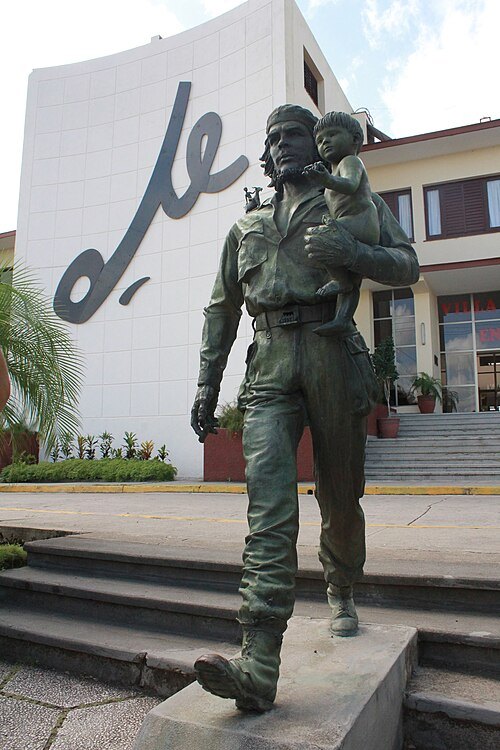
  • Che con niño

    Eggenbergurbock23 / CC BY-SA 3.0

    sculpture

    Che con niño

    Opening hours Not checked

    Admission Not checked

    Getting there Nearest stop or station Santa Clara, about 15 min on foot OpenStreetMap
    Map

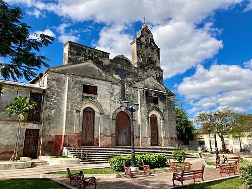
  • Our Lady of Mount Carmel Church, Santa Clara, Cuba

    Dudva / CC0

    catholic church building

    Our Lady of Mount Carmel Church, Santa Clara, Cuba

    historic catholic church in Santa Clara, Cuba

    Opening hours Not checked

    Admission Not checked

    Getting there Nearest stop or station Estación de Ferrocarriles "Marta Abreu" Santa Clara, about 4 min on foot OpenStreetMap
    Map

  • Church of the Divine Shepherdess in Santa Clara, Cuba

    Dudva / CC0

    catholic church building

    Church of the Divine Shepherdess in Santa Clara, Cuba

    Opening hours Not checked

    Admission Not checked

    Getting there Nearest stop or station Terminal de Ómnibus Intermunicipal. Villa Clara, about 17 min on foot OpenStreetMap

    Map

  • hill

    Lomas de Santa Fe

    hill in Villa Clara Province, Cuba

    Opening hours Not checked

    Admission Not checked

    About 19 km from the city centre

    Map

  • hill

    Loma Pelada

    hill in Villa Clara Province, Cuba
    Opening hours Not checked

    Admission Not checked

    About 11 km from the city centre

    Map

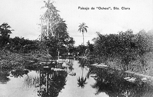
  • Ochoa River

    Unknown author / Public domain

    river

    Ochoa River

    river in Villa Clara Province, Cuba

    Opening hours Not checked

    Admission Not checked

    About 19 km from the city centre

    Map

  • river

    Arroyo Palma

    river in Villa Clara Province, Cuba

    Opening hours Not checked

    Admission Not checked

    Getting there Nearest stop or station Universidad, about 20 min on foot OpenStreetMap

    Map

  • river

    Arroyo las Palmas

    river in Cuba

    Opening hours Not checked

    Admission Not checked

    Map

  • river

    Arroyo Nancí

    river in Cuba

    Opening hours Not checked

    Admission Not checked

    About 16 km from the city centre

    Map

  • river

    Arroyo los Mameyes

    river in Cuba

    Opening hours Not checked

    Admission Not checked

    Map

  • hill

    La Caridad

    hill in Villa Clara Province, Cuba - Geonames ID=3555077

    Opening hours Not checked

    Admission Not checked

    About 17 km from the city centre

    Map

  • river

    Arroyo Las Minas

    river in Cuba

    Opening hours Not checked

    Admission Not checked

    About 11 km from the city centre

    Map

  • river

    Arroyo Cubanicay

    river in Cuba

    Opening hours Not checked

    Admission Not checked

    Getting there Nearest stop or station Santa Clara, about 5 min on foot OpenStreetMap

    Map

  • river

    Arroyo el Cura

    river in Cuba

    Opening hours Not checked

    Admission Not checked

    About 10 km from the city centre

    Map

  • river

    Arroyo Camarón

    river in Cuba

    Opening hours Not checked

    Admission Not checked

    About 17 km from the city centre

    Map

  • hill

    Loma Bonachea

    hill in Villa Clara Province, Cuba

    Opening hours Not checked

    Admission Not checked

    About 13 km from the city centre

    Map

  • river

    Arroyo Belico

    river in Cuba

    Opening hours Not checked

    Admission Not checked

    Getting there Nearest stop or station Santa Clara, about 5 min on foot OpenStreetMap

    Map

  • reservoir

    Embalse Minerva

    Opening hours Not checked

    Admission Not checked

    About 16 km from the city centre

    Map

  • river

    Arroyo Vista Hermosa

    river in Cuba

    Opening hours Not checked

    Admission Not checked

    Getting there Nearest stop or station Ranchuelo, about 17 min on foot OpenStreetMap

    About 20 km from the city centre

    Map

  • mountain ridge

    Loma Sin Nombre

    Opening hours Not checked

    Admission Not checked

    About 16 km from the city centre

    Map

  • hill

    Loma Sitio

    hill in Villa Clara Province, Cuba

    Opening hours Not checked

    Admission Not checked

    Map

  • hill

    Cayo San Luis

    hill in Villa Clara Province, Cuba

    Opening hours Not checked

    Admission Not checked

    Map

  • hill

    Loma San Ramón

    hill in Villa Clara Province, Cuba

    Opening hours Not checked

    Admission Not checked

    Map

  • river

    Arroyo Santa Lucía

    river in Villa Clara Province, Cuba

    Opening hours Not checked

    Admission Not checked

    About 17 km from the city centre

    Map

  • river

    Arroyo Roble

    river in Cuba

    Opening hours Not checked

    Admission Not checked

    About 14 km from the city centre

    Map

  • hill

    Monte Roca

    hill in Villa Clara Province, Cuba

    Opening hours Not checked

    Admission Not checked

    Map

  • hill

    Lomas de San Joaquín

    hill in Villa Clara Province, Cuba

    Opening hours Not checked

    Admission Not checked

    Getting there Nearest stop or station Conyedo, about 6 min on foot OpenStreetMap

    About 14 km from the city centre

    Map

  • river

    Arroyo San Juan

    river in Villa Clara Province, Cuba

    Opening hours Not checked

    Admission Not checked

    About 14 km from the city centre

    Map

  • river

    Arroyo Ranchuelito

    river in Cuba

    Opening hours Not checked

    Admission Not checked

    About 12 km from the city centre

    Map

  • river

    Arroyo Represa

    river in Cuba

    Opening hours Not checked

    Admission Not checked

    About 12 km from the city centre

    Map

  • mountain

    Loma de Quintana

    mountain in Cuba

    Opening hours Not checked

    Admission Not checked

    About 15 km from the city centre

    Map

  • hill

    Cerro de Pelo Malo

    hill in Villa Clara Province, Cuba

    Opening hours Not checked

    Admission Not checked

    About 9 km from the city centre

    Map

  • hill

    Loma Pico Alto

    hill in Villa Clara Province, Cuba

    Opening hours Not checked

    Admission Not checked

    About 17 km from the city centre

    Map

  • hill

    Cayo Potrero

    hill in Villa Clara Province, Cuba

    Opening hours Not checked

    Admission Not checked

    About 11 km from the city centre

    Map

  • hill

    Monte Oscuro

    hill in Villa Clara Province, Cuba

    Opening hours Not checked

    Admission Not checked

    About 12 km from the city centre

    Map

  • mountain

    Loma Pajarito

    mountain in Cuba

    Opening hours Not checked

    Admission Not checked

    About 19 km from the city centre

    Map

  • hill

    Loma Palmarito

    hill in Villa Clara Province, Cuba

    Opening hours Not checked

    Admission Not checked

    About 12 km from the city centre

    Map

  • river

    Arroyo Paso del Medio

    river in Cuba

    Opening hours Not checked

    Admission Not checked

    About 12 km from the city centre

    Map

  • river

    Arroyo Miguel

    river in Cuba

    Opening hours Not checked

    Admission Not checked

    Map

  • river

    Arroyo Mabujina

    river in Cuba

    Opening hours Not checked

    Admission Not checked

    About 12 km from the city centre

    Map

  • river

    Arroyo Machado

    river in Cuba

    Opening hours Not checked

    Admission Not checked

    About 20 km from the city centre

    Map

  • hill

    La Caridad

    hill in Villa Clara Province, Cuba - Geonames ID=3555078

    Opening hours Not checked

    Admission Not checked

    About 14 km from the city centre

    Map

  • river

    Arroyo La Ceiba

    river in Villa Clara Province, Cuba

    Opening hours Not checked

    Admission Not checked

    About 17 km from the city centre

    Map

  • river

    Arroyo La Guanaja

    river in Cuba

    Opening hours Not checked

    Admission Not checked

    About 13 km from the city centre

    Map

  • hill

    Loma La Güira

    hill in Villa Clara Province, Cuba

    Opening hours Not checked

    Admission Not checked

    About 13 km from the city centre

    Map

  • river

    Arroyo La Panchita

    river in Villa Clara Province, Cuba

    Opening hours Not checked

    Admission Not checked

    About 14 km from the city centre

    Map

  • river

    Arroyo Grande

    river in Villa Clara Province, Cuba

    Opening hours Not checked

    Admission Not checked

    About 12 km from the city centre

    Map

  • hill

    Cayo Gavilán

    hill in Villa Clara Province, Cuba

    Opening hours Not checked

    Admission Not checked

    About 13 km from the city centre

    Map

  • mountain

    Loma Gobernadora

    mountain in Cuba

    Opening hours Not checked

    Admission Not checked

    About 10 km from the city centre

    Map

  • river

    Arroyo El Palmar

    river in Villa Clara Province, Cuba

    Opening hours Not checked

    Admission Not checked

    About 16 km from the city centre

    Map

  • hill

    Loma Fraile

    hill in Villa Clara Province, Cuba

    Opening hours Not checked

    Admission Not checked

    About 11 km from the city centre

    Map

  • river

    Arroyo El Barro

    river in Cuba

    Opening hours Not checked

    Admission Not checked

    About 9 km from the city centre

    Map

Places to eat

  • cafe

    Casa Obrador

    Food: coffee shop

    Mo-Sa 10:30-23:30

    Map

  • restaurant

    La Aldaba

    Food: seafood, chicken, diner, regional, fish and chips, american, sandwich, coffee shop, curry, ice cream, local, tea, caribbean, fine dining, burger, fish, pasta, breakfast, international, grill, italian, barbecue

    08:00-22:00

    Map

  • cafe

    Yara

    Food: regional

    08:00-21:00

    Santa Clara

    Map

Opening hours and tickets: OpenStreetMap contributors. Each one shows the day a volunteer last wrote it down, so check the official site before you set out.

Nothing picked yet
    Add a place that is not listed here

    One per line. Pasting a list works too.

    Cuba