Moroni: what to see and where to eat
Everything below comes from open data and each row says where it came from. We have not been to any of these places and we do not rank them.
Filters
Things to see
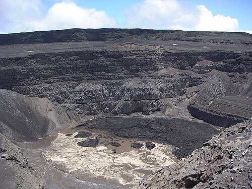
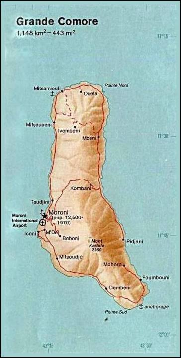
The original uploader was Janneman at German Wikipedia. / Public domain
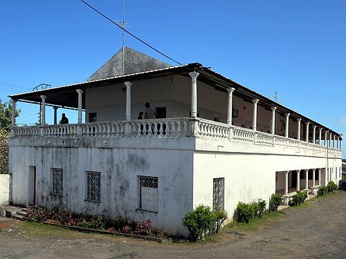
David Stanley from Nanaimo, Canada / CC BY 2.0
national museumNational Museum of Comoros
national museum in Moroni, Comoros
Getting there Nearest stop or station Taxi Gobadjou, about 8 min on foot OpenStreetMap
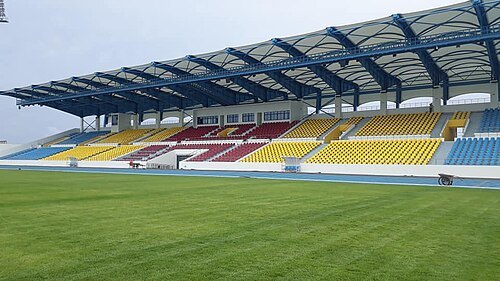 association football venue
Stade omnisports de Malouzini
stadium in Iconi, Comoros
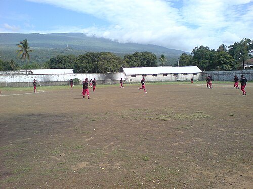 stadium
Stade de Beaumer
multi-use stadium in Moroni, Comoros
Getting there Nearest stop or station Moroni Port Entrance, about 5 min on foot OpenStreetMap
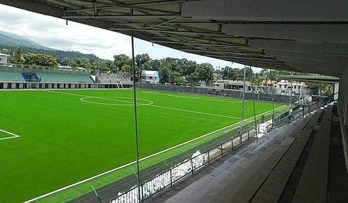
http://www.habarizacomores.com/2015/07/un-stade-omnisport-moroni.html / CC BY-SA 4.0
stadiumStade de Moroni
building in Africa
Getting there Nearest stop or station Moroni Port Entrance, about 11 min on foot OpenStreetMap
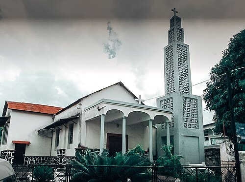 church building
St. Theresa of the Child Jesus Church, Moroni
building in Comoros
Getting there Nearest stop or station Taxi Gobadjou, about 5 min on foot OpenStreetMap
- summit
Dima Kora
- cave
Grotte du Capitaine Dubois
- mountain
Chamadani
mountain in Comoros
- summit
Haboho
- summit
Ilimadjaha
- summit
Oichilidjou
- mountain pass
Maziouani Adjou
mountain pass in Grande Comore, Comoros
- summit
Ankafa
- mountain
Mhoubizi
mountain in Comoros
- mountain
Djambaba
mountain in Comoros
- mountain
Hadzimou
mountain in Comoros
- mountain
Koudjouni
mountain in Comoros
- mountain
Trindini
mountain in Comoros
- summit
Zilimani
- mountain
Hagnando
mountain in Comoros
- mountain
Gozibi
mountain in Comoros
- river
Chaâni Hadaba
river in Grande Comore, Comoros
- river
Itsoundji
river in Grande Comore, Comoros - Geonames ID = 1092175
- river
Kozini
river in Grande Comore, Comoros
- hill
Dzinquizouani
hill in Grande Comore, Comoros
- hill
Mohandadjou
hill in Grande Comore, Comoros
- valley
Djoumamilima
valley in Grande Comore, Comoros
- summit
Igorini
- hill
Mlimani
hill in Grande Comore, Comoros
- hill
Mlimadjou
hill in Grande Comore, Comoros
- hill
Mchimani
hill in Grande Comore, Comoros
- spring
Issimadjou
spring in Grande Comore, Comoros
- hill
Hadjambou
hill in Grande Comore, Comoros
- hill
Mahaouini
hill in Grande Comore, Comoros
- summit
Mlima Manda
- summit
Ntsingoni
- river
Banda Mhamba
river in Grande Comore, Comoros
- river
Chahaboué
river in Grande Comore, Comoros
- river
Denga-Denga
river in Grande Comore, Comoros
- river
Habondo
river in Grande Comore, Comoros
- river
Habonga
river in Grande Comore, Comoros
- river
Hadaba
river in Grande Comore, Comoros
- river
Itsambouni
river in Grande Comore, Comoros
- river
Itsoundji
river in Grande Comore, Comoros
- river
Kafouni
river in Grande Comore, Comoros
- river
Lahimdidji
river in Grande Comore, Comoros
- river
Mna
river in Grande Comore, Comoros
- river
Ngama-Mouia
river in Grande Comore, Comoros
- river
Ngnantchendje
river in Grande Comore, Comoros
- river
Pessini
river in Grande Comore, Comoros
- river
Torrent de Bandani
river in Grande Comore, Comoros
- river
Torrent de l'Hôpital
river in Grande Comore, Comoros
- river
Trondoni
river in Grande Comore, Comoros
- river
Troni
river in Grande Comore, Comoros
- river
Troni
river in Grande Comore, Comoros - Geonames ID = 1092353
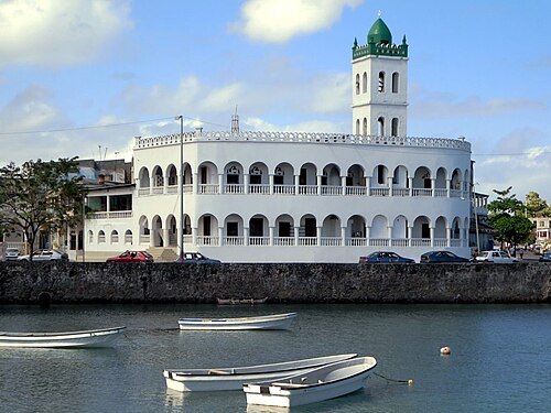
David Stanley from Nanaimo, Canada / CC BY 2.0
mosqueMoroni Old Friday Mosque
mosque in Moroni, Comoros
Getting there Nearest stop or station Taxi Gobadjou, about 4 min on foot OpenStreetMap
- palace
Palais du Peuple
parliament building in Moroni, Comores


Places to eat
Nothing here matches that. Clear a filter and try again.
Opening hours and tickets: OpenStreetMap contributors. Each one shows the day a volunteer last wrote it down, so check the official site before you set out.