Tianjin: what to see and where to eat
Everything below comes from open data and each row says where it came from. We have not been to any of these places and we do not rank them.
Filters
Things to see
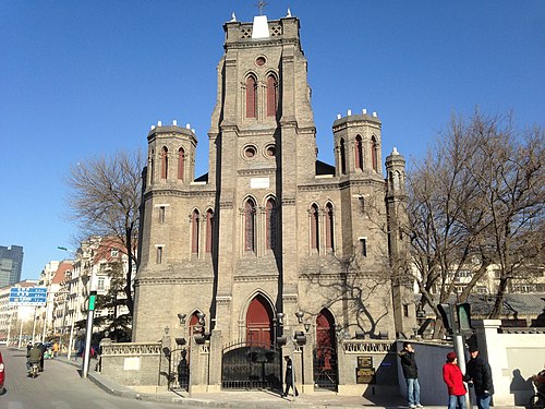 catholic church building
Wang Hai Lou Catholic Church
architectural structure
Getting there Nearest stop or station 古文化街码头, about 5 min on foot OpenStreetMap
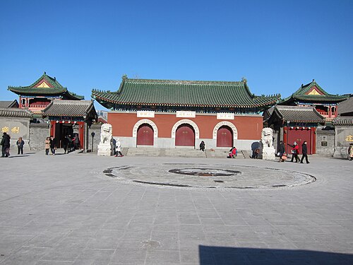 buddhist temple
Temple of Great Compassion
China, Tianjin Buddhist temple
Getting there Nearest stop or station 大悲院码头, about 6 min on foot OpenStreetMap
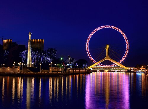 ferris wheel
Tianjin Eye
Ferris wheel in Tianjin, China
Getting there Nearest stop or station 大悲院码头, about 4 min on foot OpenStreetMap
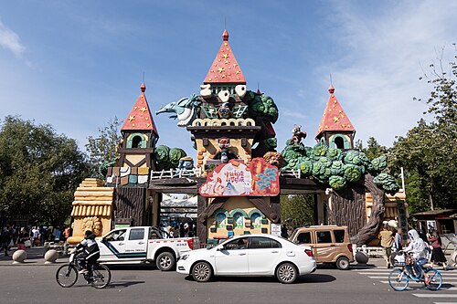 zoo
Tianjin Zoo
zoo in Tianjin, China
Getting there Nearest stop or station Shuishanggongyuandonglu, about 10 min on foot OpenStreetMap
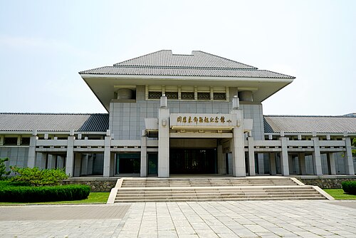 museum
Memorial to Zhou Enlai and Deng Yingchao
memorial Museum in Nankai District, Tianjin
Getting there Nearest stop or station Zhoudengji'nianguan, about 4 min on foot OpenStreetMap
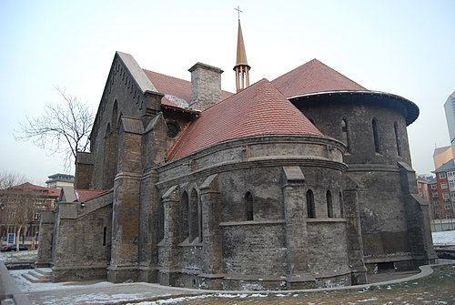 cultural heritage
Episcopal Church of Tianjin
church in Tianjin, China
Getting there Nearest stop or station Xiaobailou, about 7 min on foot OpenStreetMap
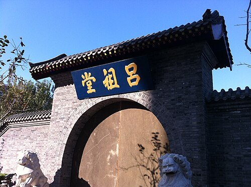 museum
Memorial Hall of the Boxer Uprising
building in Memorial Hall of the Boxer Uprising, China
Getting there Nearest stop or station Renminyiyuan, about 11 min on foot OpenStreetMap
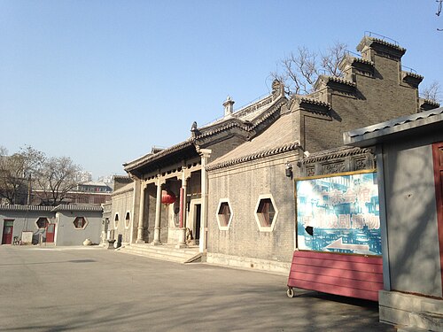 theatre building
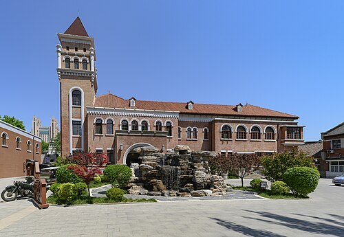
Tianjin Museum of Theatre
theatre museum in the former Guangdong Guild Hall, Tianjin, China
Getting there Nearest stop or station Gulou, about 6 min on foot OpenStreetMap
ScareCriterion12 / CC BY-SA 4.0
cultural heritageZhang Garden
mansion in Tianijn, China
Getting there Nearest stop or station Anshandao, about 9 min on foot OpenStreetMap
 cultural heritage
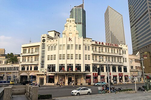
Kiessling Restaurant
restaurant in Tianjin
Getting there Nearest stop or station Xiaobailou, about 2 min on foot OpenStreetMap
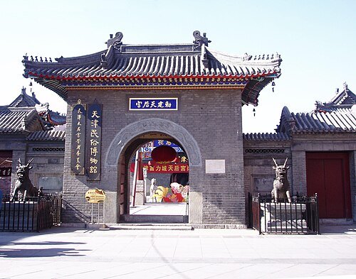
Photo taken by Fanghong / CC BY-SA 3.0
temple of mazuTianhou Gong
building in Tianhou Gong, China
Getting there Nearest stop or station 古文化街码头, about 4 min on foot OpenStreetMap
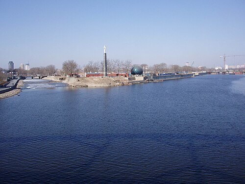
Photo taken by Fanghong / CC BY-SA 3.0
riverHai River
river in the People's Republic of China
Getting there Nearest stop or station Beiyunhe, about 6 min on foot OpenStreetMap
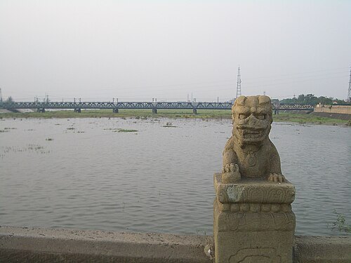
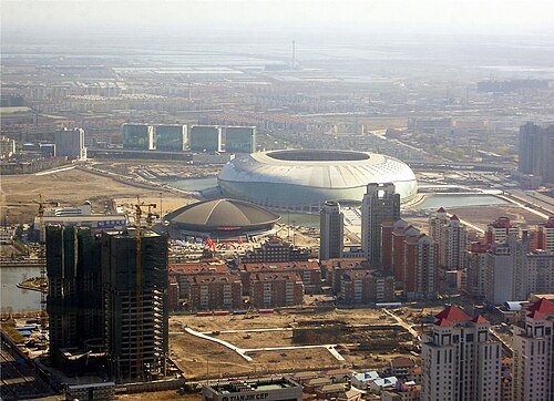
Bill Benson from Tianjin, China / CC BY 2.0
stadiumTianjin Olympic Center Stadium
football stadium
Getting there Nearest stop or station 体育中心公交站, about 4 min on foot OpenStreetMap
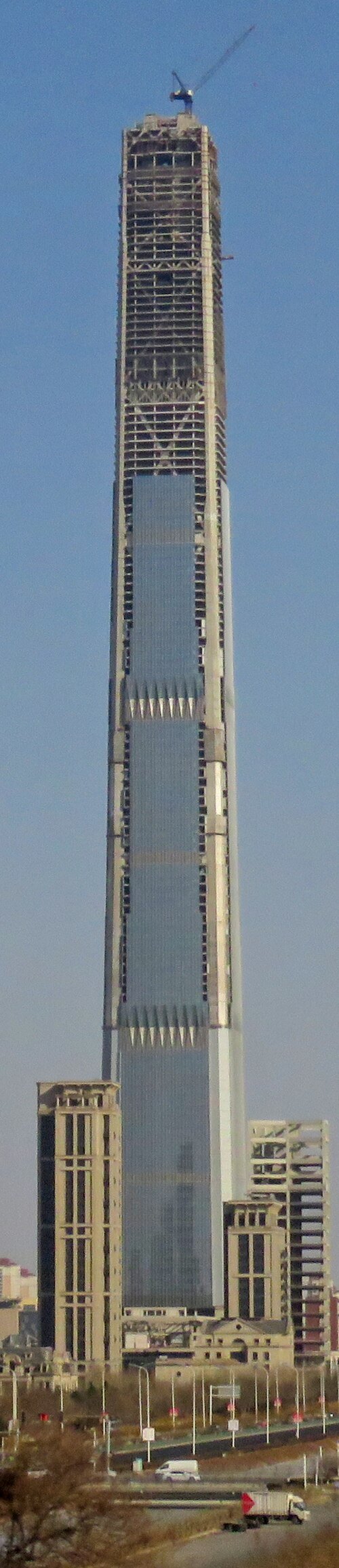 tower block
Goldin Finance 117
planned skyscraper in Tianjin, China
Getting there Nearest stop or station 海泰北公交站, about 15 min on foot OpenStreetMap
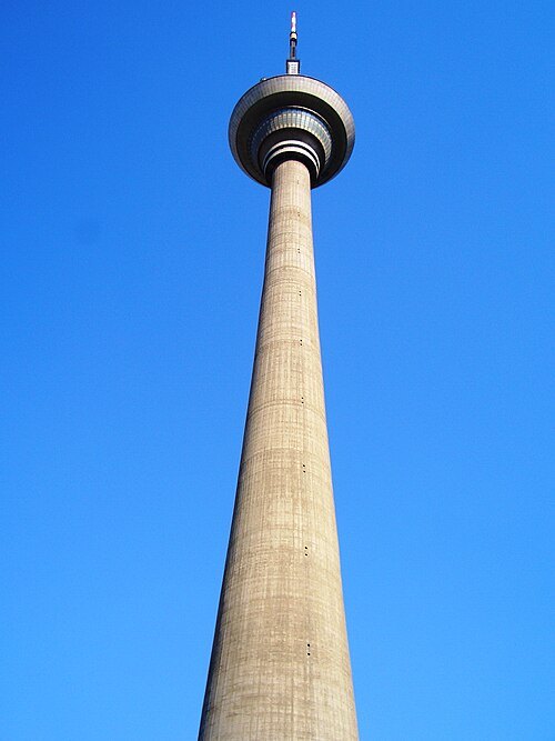 television tower
Tianjin Radio and Television Tower
tower in Tianjin, China
Getting there Nearest stop or station Tianta, about 4 min on foot OpenStreetMap
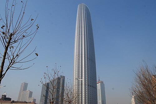 skyscraper
Tianjin World Financial Center
skyscraper
Getting there Nearest stop or station 津塔公交站, about 3 min on foot OpenStreetMap
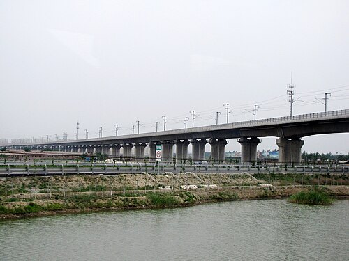 railway bridge
Tianjin Grand Bridge
bridge in Hebei, Tianjin
Getting there Nearest stop or station Tianjinnan, about 1 min on foot OpenStreetMap
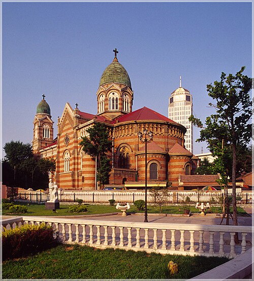 cathedral
St. Joseph Cathedral
church building in Tianjin, China
Getting there Nearest stop or station Yingkoudao, about 5 min on foot OpenStreetMap
- diocese of the catholic church
Roman Catholic Diocese of Tianjin
diocese of the Catholic Church in China
Getting there Nearest stop or station Dongnanjiao, about 5 min on foot OpenStreetMap
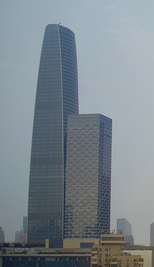 skyscraper
Tianjin Modern City Office Tower
building in Tianjin, China
Getting there Nearest stop or station Yingkoudao, about 3 min on foot OpenStreetMap
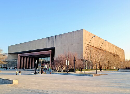 museum
Tianjin Museum
museum
Getting there Nearest stop or station Wenhuazhongxin, about 6 min on foot OpenStreetMap
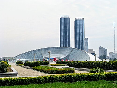 museum
Tianjin Natural History Museum
archive organization in Tianjin, China
Getting there Nearest stop or station Leyuandao, about 9 min on foot OpenStreetMap
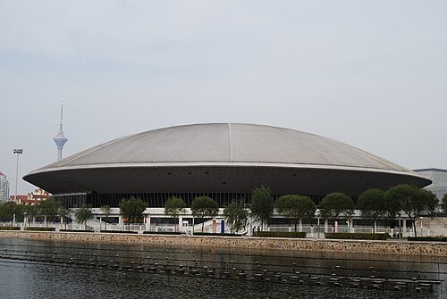 arena
Tianjin Arena
building in Nankai, Tianjin, People's Republic of China
Getting there Nearest stop or station Zhongliuiyuan, about 7 min on foot OpenStreetMap
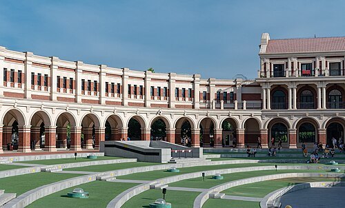 stadium
Minyuan Stadium
stadium
Getting there Nearest stop or station 马场道(建设中), about 12 min on foot OpenStreetMap
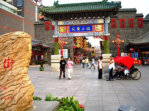
William M Benson / Public domain
chinese aaaaa-rated tourist attractionGuwenhua Jie
pedestrian zone in Nankai, Tianjin
Getting there Nearest stop or station 古文化街码头, about 3 min on foot OpenStreetMap
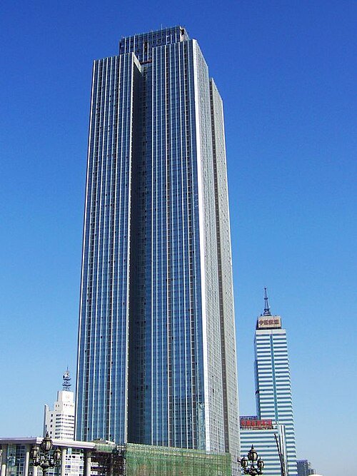 skyscraper
Tianjin Junlin Tianxia Building
building in Tianjin Junlin Tianxia Building, China
Getting there Nearest stop or station 意风区码头, about 5 min on foot OpenStreetMap
- eastern orthodox church building
Church of the Intercession
building in Provisional Government of the Republic of China
Getting there Nearest stop or station Yingbinguan, about 10 min on foot OpenStreetMap
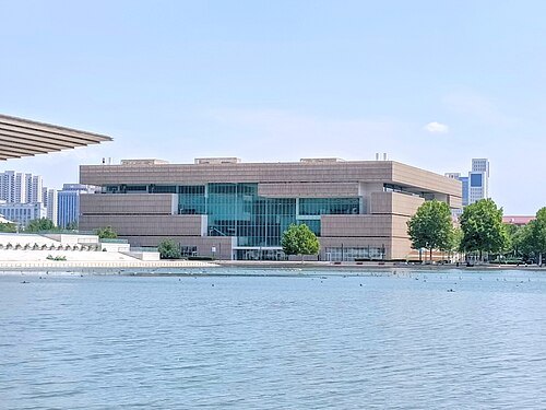 public library
Tianjin Library
public library in Tianjin, China
Getting there Nearest stop or station Leyuandao, about 11 min on foot OpenStreetMap
- skyscraper
Centre Plaza
building in Centre Plaza, China
Getting there Nearest stop or station Xuzhoudao, about 3 min on foot OpenStreetMap
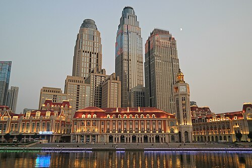 skyscraper
Jin Wan Plaza 1
building in Tianjin, China
Getting there Nearest stop or station Jinwan'guangchang, about 4 min on foot OpenStreetMap
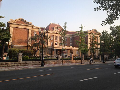
ScareCriterion12 / CC BY-SA 3.0
cultural heritageTsin Ku University
Getting there Nearest stop or station 马场道(建设中), about 10 min on foot OpenStreetMap
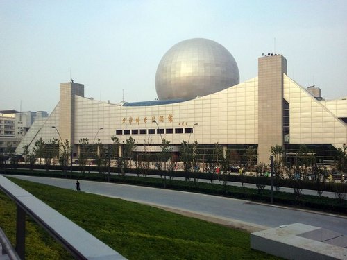 museum
Tianjin Science and Technology Museum
science museum in China
Getting there Nearest stop or station Leyuandao, about 7 min on foot OpenStreetMap
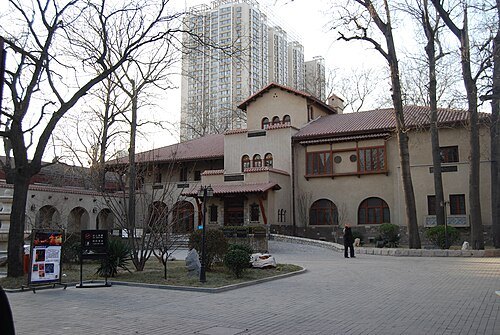 cultural heritage
Quiet Garden Villa
Getting there Nearest stop or station Anshandao, about 5 min on foot OpenStreetMap
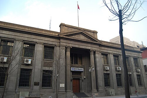 cultural heritage
Jardine Matheson Building Tianjin
building in Heping, Tianjin
Getting there Nearest stop or station 利顺德码头, about 7 min on foot OpenStreetMap
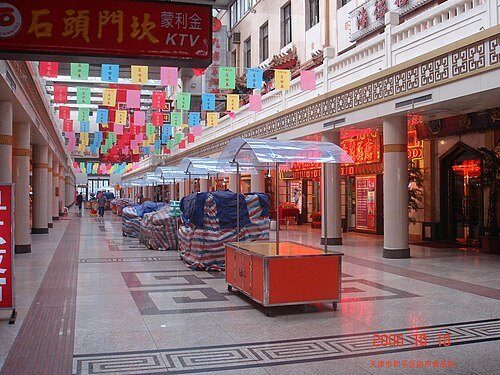 shopping street
Nanshi Cuisine Street
area of Tianjin, China
Getting there Nearest stop or station Gulou, about 8 min on foot OpenStreetMap
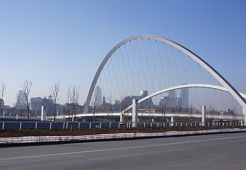 road bridge
Dagu Bridge
bridge in People's Republic of China
Getting there Nearest stop or station 津塔公交站, about 4 min on foot OpenStreetMap
- stadium
Tianjin Locomotive Stadium
building in People's Republic of China
Getting there Nearest stop or station Tianjinbei, about 6 min on foot OpenStreetMap
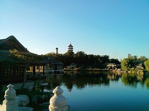 urban park
Beining Park
park in Tianjin, China
Getting there Nearest stop or station Tianjinbei, about 8 min on foot OpenStreetMap
- skyscraper
Bohai Bank Tower
building in Wang Jingwei regime, China
Getting there Nearest stop or station Dawangzhuang, about 6 min on foot OpenStreetMap


Places to eat
- cafe
茉莉奶白(天河城店)
Food: bubble tea
Nothing here matches that. Clear a filter and try again.
Opening hours and tickets: OpenStreetMap contributors. Each one shows the day a volunteer last wrote it down, so check the official site before you set out.