Shenzhen: what to see and where to eat
Everything below comes from open data and each row says where it came from. We have not been to any of these places and we do not rank them.
Filters
Things to see
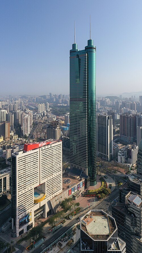 tower block
Shun Hing Square
skyscraper in Shenzhen
Getting there Nearest stop or station Grand Theater, about 5 min on foot OpenStreetMap
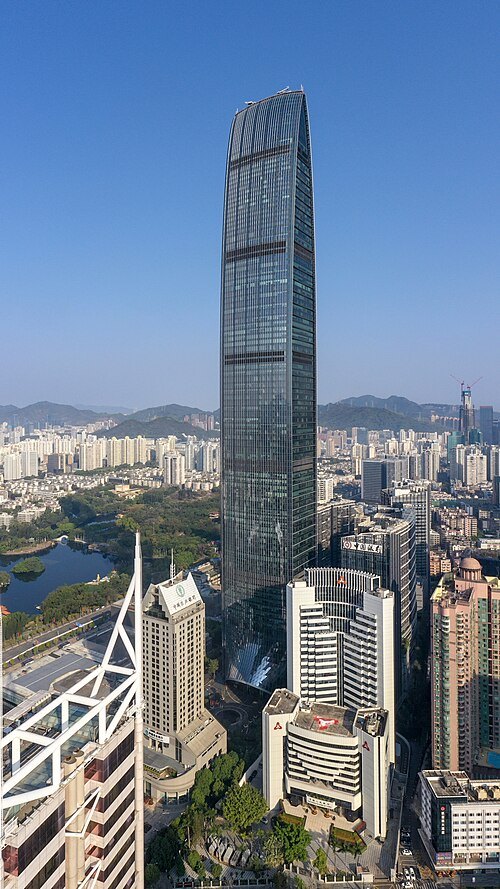 skyscraper
Kingkey 100
skyscraper in Luohu, Shenzhen, Guangdong, China
Getting there Nearest stop or station Grand Theater, about 4 min on foot OpenStreetMap
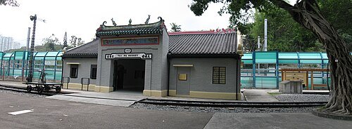 railway museum
Hong Kong Railway Museum
railway museum in Tai Po, Hong Kong
Getting there Nearest stop or station Tai Wo Bus Terminus, about 6 min on foot OpenStreetMap
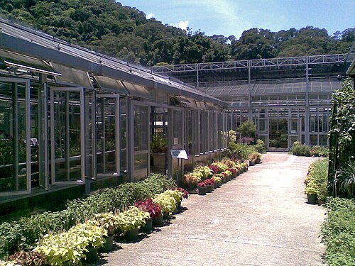
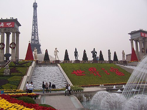
- miniature park
Splendid China Folk Village
theme park in China
Getting there Nearest stop or station OCT, about 6 min on foot OpenStreetMap
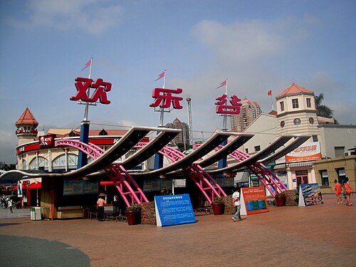 amusement park
Happy Valley Shenzhen
theme park in Nanshan, Shenzhen, Guangdong, China
Getting there Nearest stop or station 世界之窗总站, about 4 min on foot OpenStreetMap
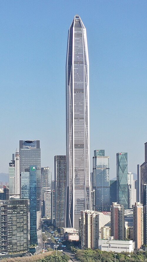 skyscraper
Ping An Finance Centre
skyscraper in Shenzhen, Guangdong province, China
Getting there Nearest stop or station Shopping Park, about 2 min on foot OpenStreetMap
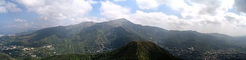
 skyscraper
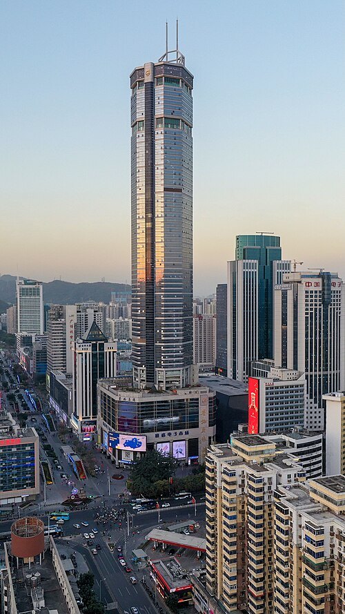
SEG Plaza
skyscraper located in Shenzhen, China
Getting there Nearest stop or station Huaqiang North, about 3 min on foot OpenStreetMap
 river
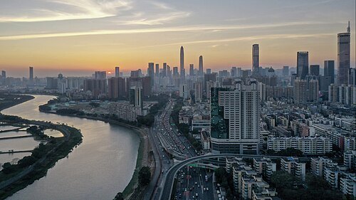
Sham Chun River
river in People's Republic of China
Getting there Nearest stop or station Taohua Bus Terminus, about 15 min on foot OpenStreetMap
- preserved watercraft
Minsk
1978 Kiev-class aircraft carrier
Getting there Nearest stop or station Haishan, about 10 min on foot OpenStreetMap
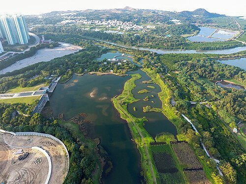
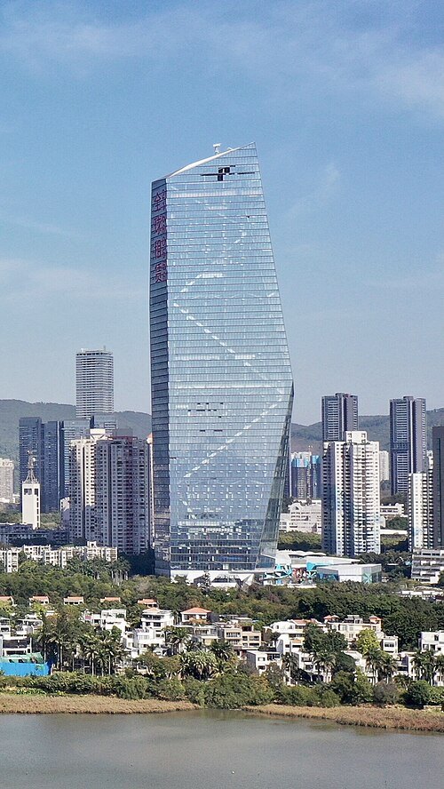
 skyscraper
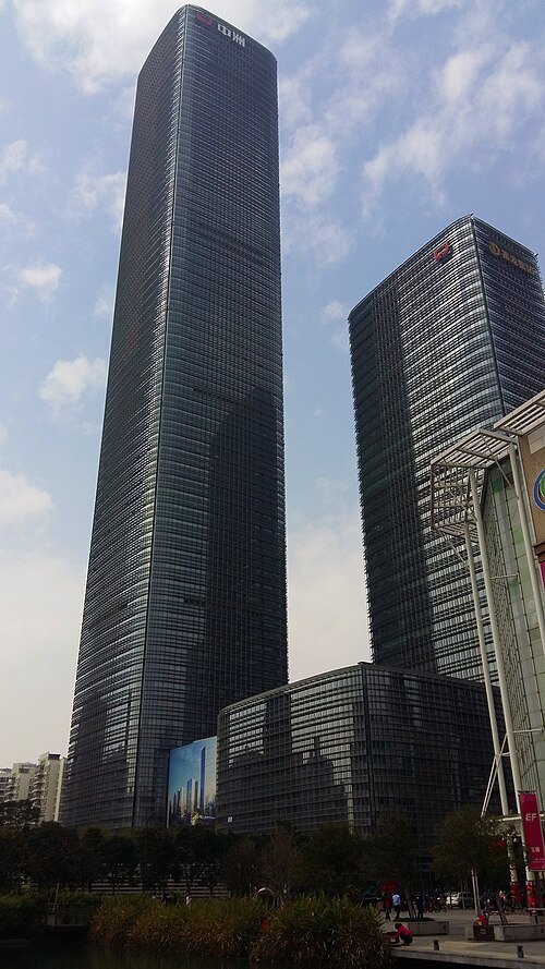
Zhongzhou Holdings Financial Center
building in Nanshan District, China
Getting there Nearest stop or station Nanshan Book Mall, about 9 min on foot OpenStreetMap
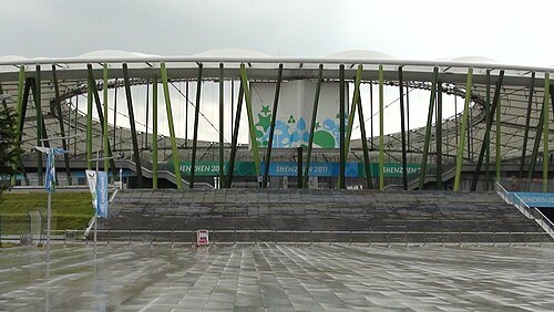 sports venue
Bao'an Sports Center
multi-purpose sports center located in Shenzhen, China
Getting there Nearest stop or station Bao'an Stadium, about 4 min on foot OpenStreetMap
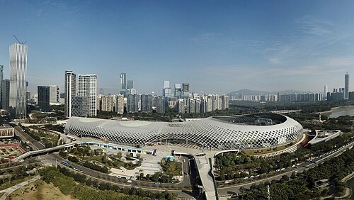 stadium
Shenzhen Bay Sports Center
building in Shenzhen Bay Sports Center, China
Getting there Nearest stop or station Houhai, about 12 min on foot OpenStreetMap
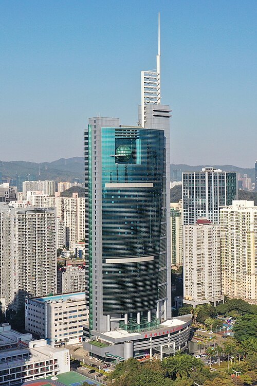 skyscraper
Shenzhen Special Zone Press Tower
building in Futian, Shenzhen, Guangdong, China
Getting there Nearest stop or station Xiangmihu, about 11 min on foot OpenStreetMap
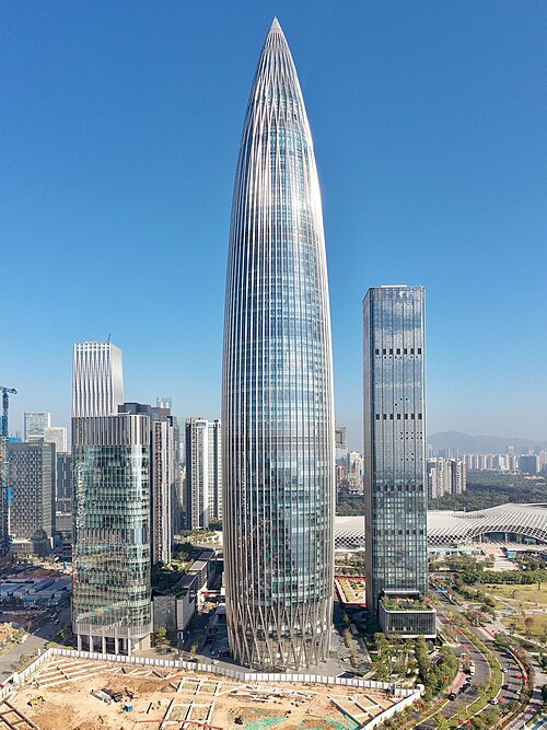 skyscraper
China Resources Tower
skyscraper in Shenzhen, China
Getting there Nearest stop or station Houhai, about 7 min on foot OpenStreetMap
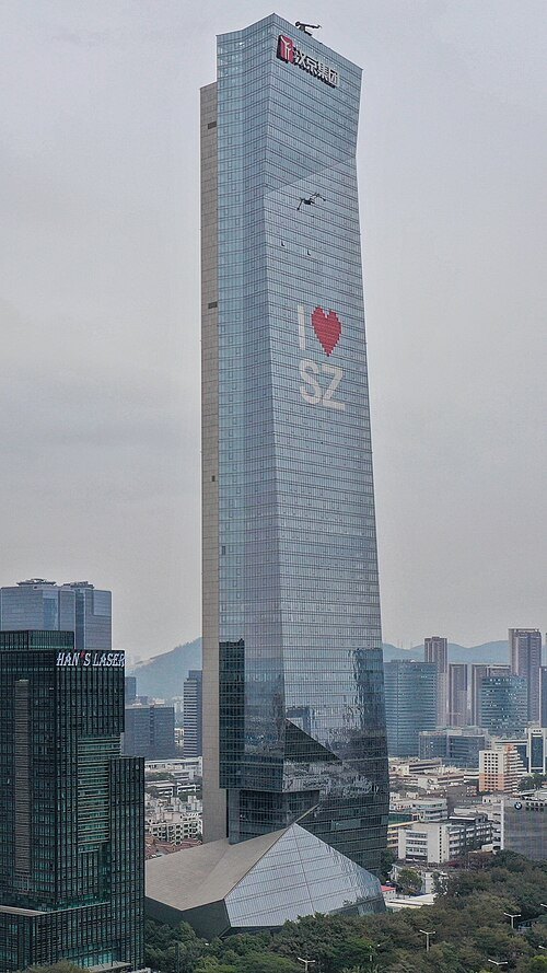 skyscraper
Hanking Center
skyscraper in Shenzhen, China
Getting there Nearest stop or station Hi-Tech Area West Bus Terminus, about 6 min on foot OpenStreetMap
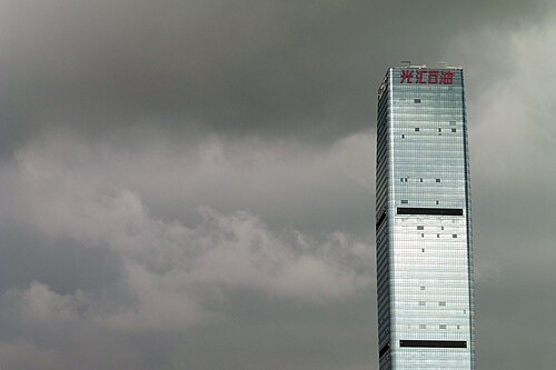
Chris from Shenzhen, China / CC BY-SA 2.0
skyscraperChang Fu Jin Mao Tower
building in Shenzhen, China
Getting there Nearest stop or station Futian Bonded Area, about 3 min on foot OpenStreetMap
 river
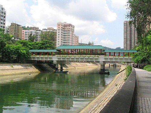
Lam Tsuen River
river of Hong Kong
Getting there Nearest stop or station Tai Wo, about 6 min on foot OpenStreetMap
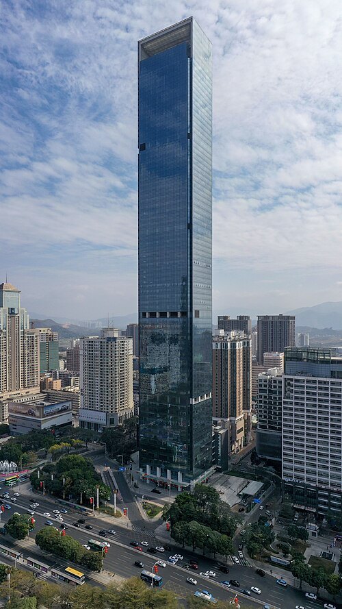 skyscraper
Hon Kwok City Center
skyscraper
Getting there Nearest stop or station Fuxing, about 4 min on foot OpenStreetMap
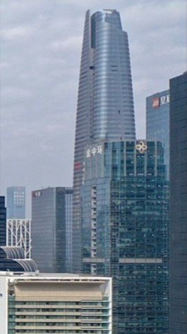 skyscraper
Shenzhen Center
building in Shenzhen, China
Getting there Nearest stop or station Convention & Exhibition Center Station, about 5 min on foot OpenStreetMap
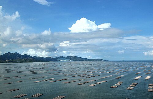
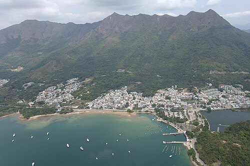
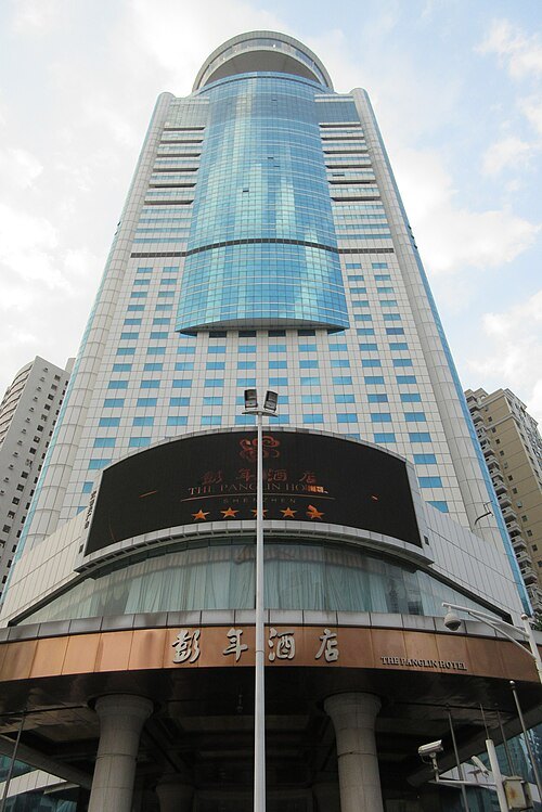 skyscraper
Panglin Plaza
building in Shenzhen, China
Getting there Nearest stop or station Hubei Station, about 5 min on foot OpenStreetMap
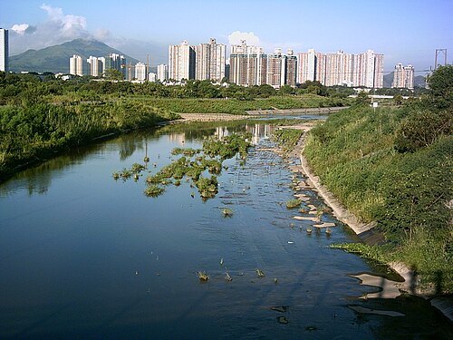 river
Ng Tung River
river of Hong Kong
Getting there Nearest stop or station Lo Wu, about 3 min on foot OpenStreetMap
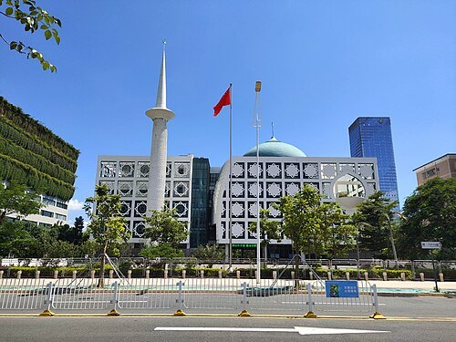 mosque
Shenzhen Mosque
mosque in Shenzhen, Guangdong, China
Getting there Nearest stop or station Maling, about 3 min on foot OpenStreetMap
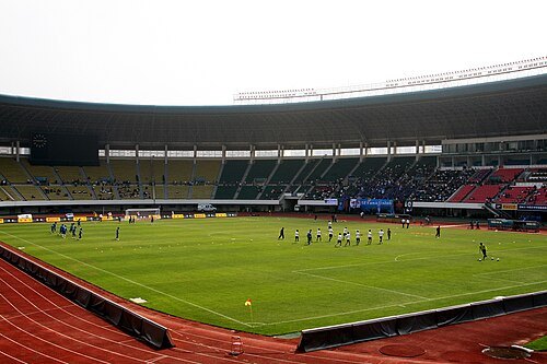 stadium
Shenzhen Stadium
building in Futian District, China
Getting there Nearest stop or station Bagualing, about 4 min on foot OpenStreetMap
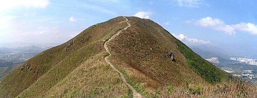
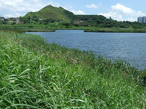 mountain
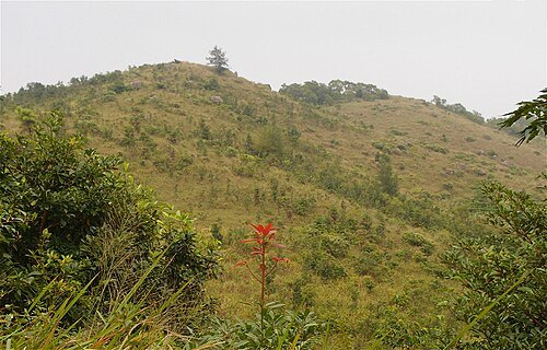
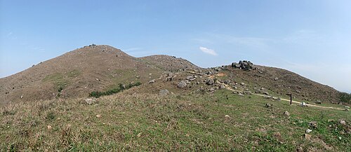
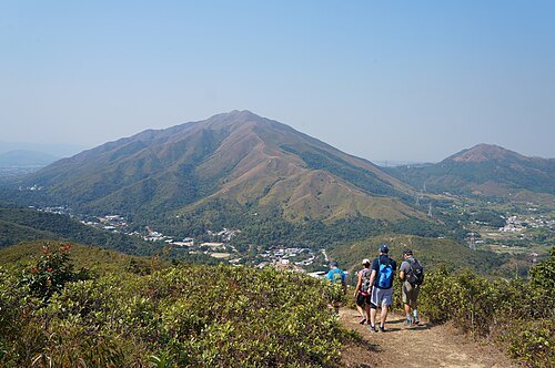
Kai Shan
hill of Hong Kong
Getting there Nearest stop or station Tin Tsz Bus Terminus, about 17 min on foot OpenStreetMap
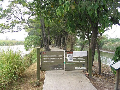
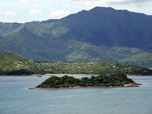
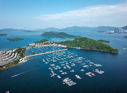 island
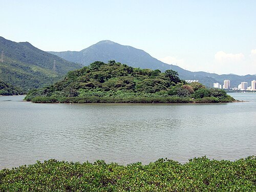
Yim Tin Tsai
island in Tai Po District, Hong Kong
Getting there Nearest stop or station Sam Mun Tsai Village Pier, about 8 min on foot OpenStreetMap
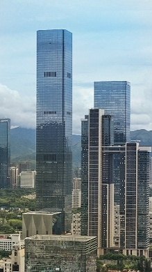 skyscraper
Shum Yip Upperhills Tower 1
building in Shenzhen, China
Getting there Nearest stop or station Donggualing Station, about 8 min on foot OpenStreetMap
 urban park
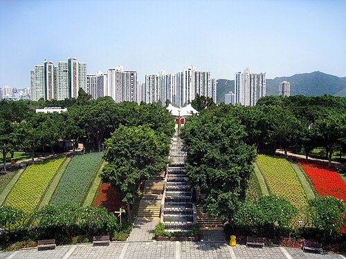
Tai Po Waterfront Park
Public park in Tai Po, Hong Kong
Getting there Nearest stop or station Tai Po Industrial Estate Bus Terminus, about 9 min on foot OpenStreetMap
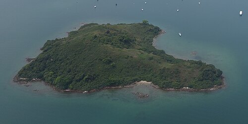 island
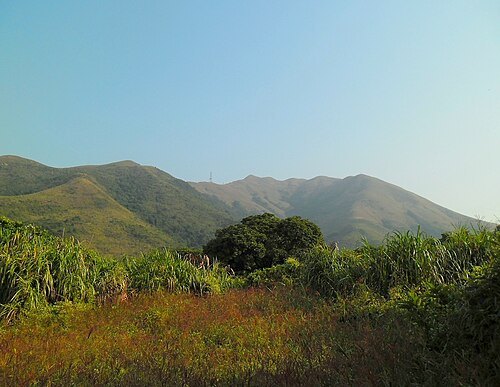
Yeung Chau
island in Tai Po District, Hong Kong
Getting there Nearest stop or station Sam Mun Tsai Bus Terminus, about 15 min on foot OpenStreetMap
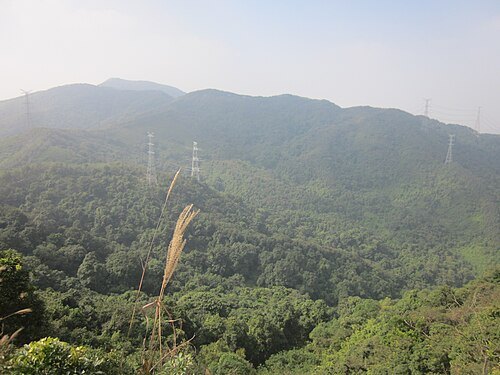
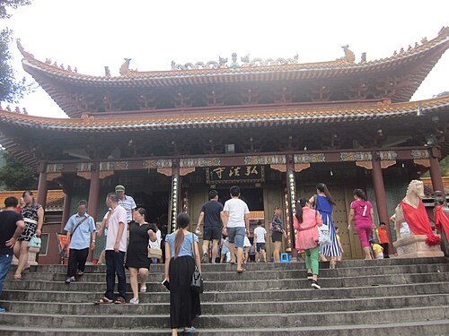
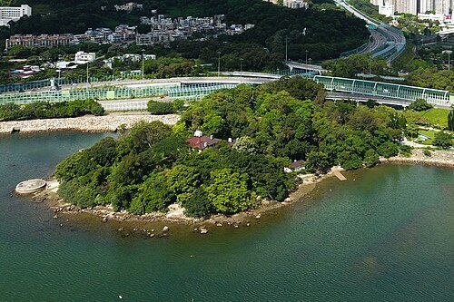 former island
Yuen Chau Tsai
former island in Hong Kong
Getting there Nearest stop or station Kwong Fuk, about 8 min on foot OpenStreetMap
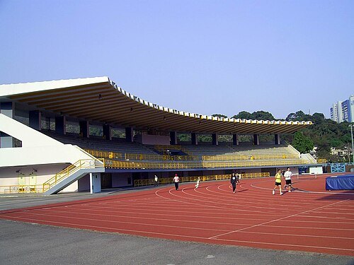 sports venue
Tai Po Sports Ground
sports ground in Tai Po
Getting there Nearest stop or station Tai Po Tau Terminus, about 2 min on foot OpenStreetMap
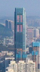 skyscraper
Baoneng Center
building in Shenzhen, China
Getting there Nearest stop or station Sungang, about 2 min on foot OpenStreetMap
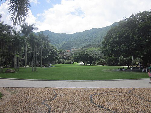 botanical garden
Fairylake Botanical Garden
archive organization in Shenzhen, China
Getting there Nearest stop or station Xianhu Botanical Garden Bus Terminal, about 1 min on foot OpenStreetMap
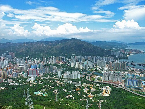
 sports venue
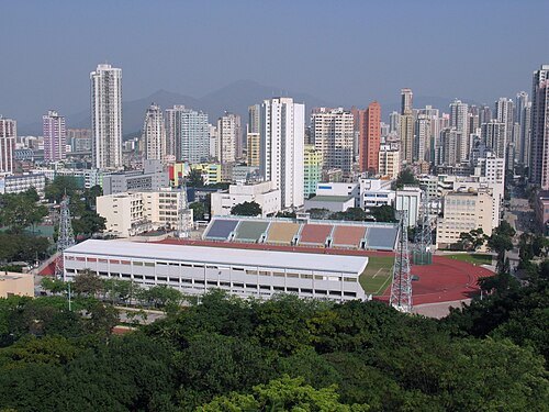
Yuen Long Stadium
stadium in New Territories, Hong Kong
Getting there Nearest stop or station Shui Pin Wai, about 3 min on foot OpenStreetMap
 skyscraper
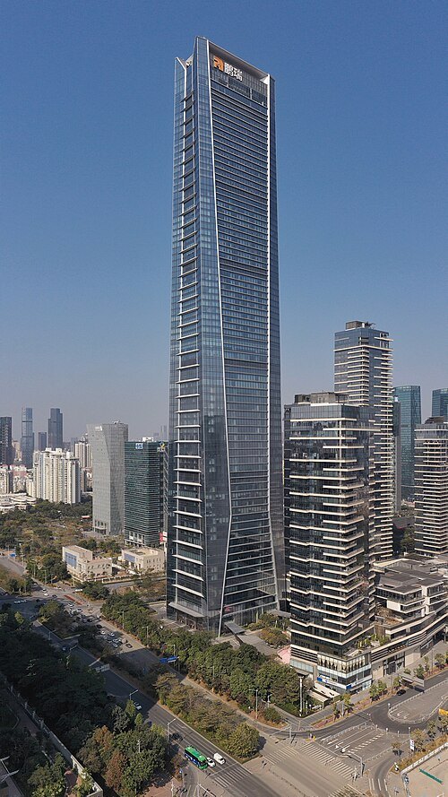
One Shenzhen Bay
building in Shenzhen, China
Getting there Nearest stop or station 深圳湾口岸旅巴停车场, about 8 min on foot OpenStreetMap
 skyscraper
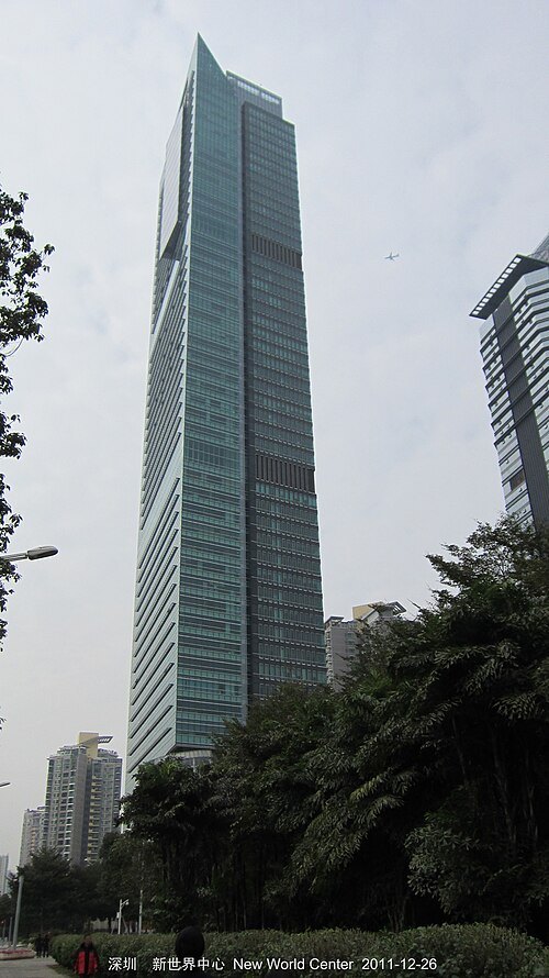
New World Center
building in New World Center, China
Getting there Nearest stop or station Huangpu Yayuan Bus Terminus, about 6 min on foot OpenStreetMap


Places to eat
- restaurant
寿司芳SUSHIYOSHI(平安金融中心店)
Food: japanese
Nothing here matches that. Clear a filter and try again.
Opening hours and tickets: OpenStreetMap contributors. Each one shows the day a volunteer last wrote it down, so check the official site before you set out.