Macau: what to see and where to eat
Everything below comes from open data and each row says where it came from. We have not been to any of these places and we do not rank them.
Filters
Things to see
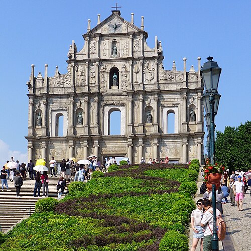 cultural heritage
Ruins of St. Paul's
church in Macau
Getting there Nearest stop or station 白鴿巢總站 Jardim Camões / Terminal, about 4 min on foot OpenStreetMap
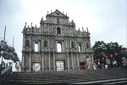 old town
Historic Centre of Macau
UNESCO World Heritage site
Getting there Nearest stop or station 司打口總站 Praça Ponte Horta / Terminal, about 4 min on foot OpenStreetMap
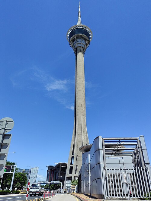 observation tower
Macau Tower
observation tower in Macau
Getting there Nearest stop or station Barra Public Transport Interchange, about 13 min on foot OpenStreetMap
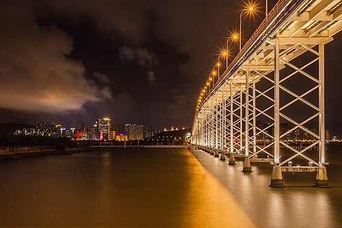 road bridge
Governor Nobre de Carvalho Bridge
bridge in Macau
Getting there Nearest stop or station 城市日前地 Praceta 24 de Junho, about 19 min on foot OpenStreetMap
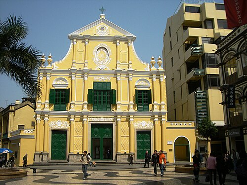 cultural heritage
St. Dominic's Church
late 16th-century Baroque-style church in Macau, China
Getting there Nearest stop or station 白鴿巢總站 Jardim Camões / Terminal, about 8 min on foot OpenStreetMap
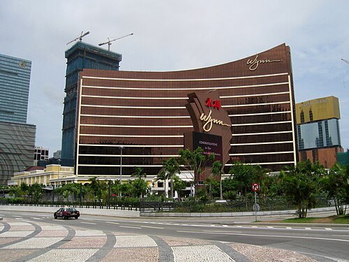 resort
Wynn Macau
leisure resort in Macau
Getting there Nearest stop or station 城市日前地 Praceta 24 de Junho, about 2 min on foot OpenStreetMap
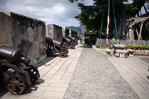 cultural heritage
Fortaleza do Monte
Portuguese fortification in Macau
Getting there Nearest stop or station 白鴿巢總站 Jardim Camões / Terminal, about 6 min on foot OpenStreetMap
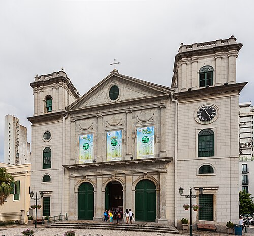 cultural heritage
Igreja da Sé
cathedral of the Diocese of Macau
Getting there Nearest stop or station 亞馬喇前地 Praça Ferreira Amaral, about 8 min on foot OpenStreetMap
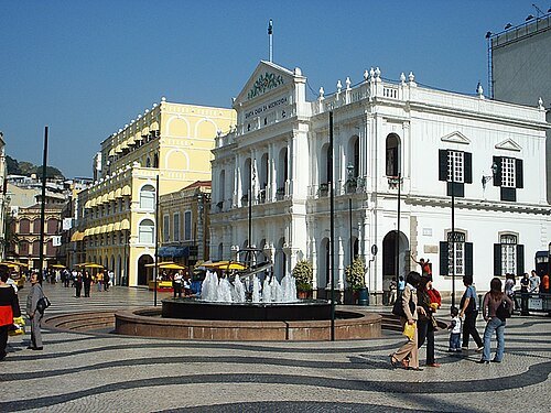
Андрей Суриков / Andrey Surikov. Original uploader was Сура at ru.wikipedia / CC BY 2.5
squareSenado Square
square in Macau
Getting there Nearest stop or station Inner Harbour Ferry Terminal, about 7 min on foot OpenStreetMap
 cultural heritage
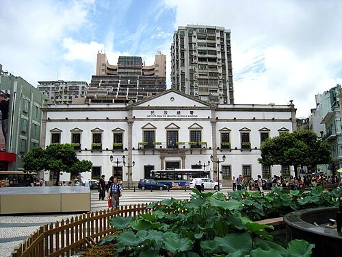
Leal Senado Building
building in Macau, China
Getting there Nearest stop or station 司打口總站 Praça Ponte Horta / Terminal, about 7 min on foot OpenStreetMap
J. Patrick Fischer / CC BY-SA 3.0
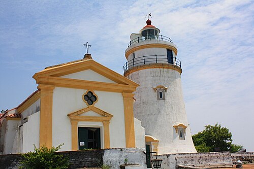
cultural heritageGuia Fortress
building in Macau, China
Getting there Nearest stop or station Cable Car Upper Station, about 6 min on foot OpenStreetMap
 church building
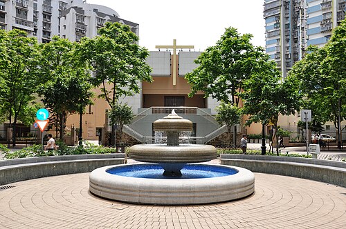
St. Joseph the Worker Church
church in Macau
Getting there Nearest stop or station 永寧廣場總站 Al. Tranquilidade / Terminal, about 2 min on foot OpenStreetMap
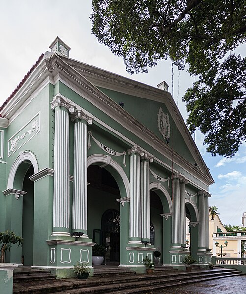 cultural heritage
Dom Pedro V Theatre
theatre and cinema in Macau, China
Getting there Nearest stop or station 司打口總站 Praça Ponte Horta / Terminal, about 6 min on foot OpenStreetMap
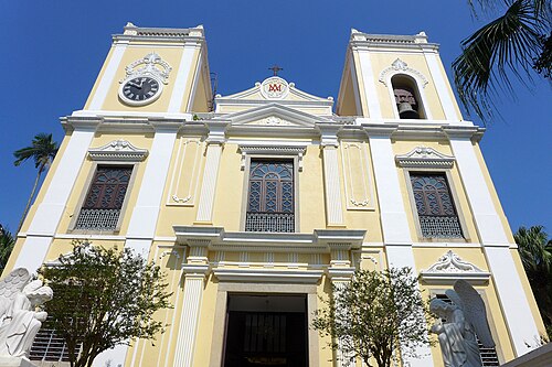 cultural heritage
St Lawrence's Church
church in Macau
Getting there Nearest stop or station 司打口總站 Praça Ponte Horta / Terminal, about 5 min on foot OpenStreetMap
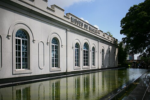 museum
Museum of Macau
museum in Macau, China
Getting there Nearest stop or station 白鴿巢總站 Jardim Camões / Terminal, about 6 min on foot OpenStreetMap
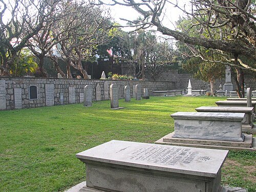 cultural heritage
Old Protestant Cemetery
cemetery in Macau
Getting there Nearest stop or station 白鴿巢總站 Jardim Camões / Terminal, about 2 min on foot OpenStreetMap
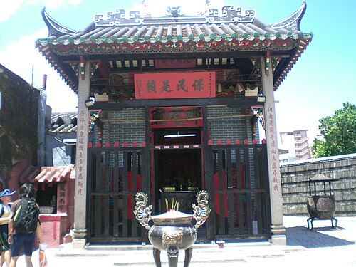
No machine-readable author provided. Mo707 assumed (based on copyright claims). / CC BY-SA 3.0
templeNa Tcha Temple
temple in Macau, China
Getting there Nearest stop or station 白鴿巢總站 Jardim Camões / Terminal, about 3 min on foot OpenStreetMap
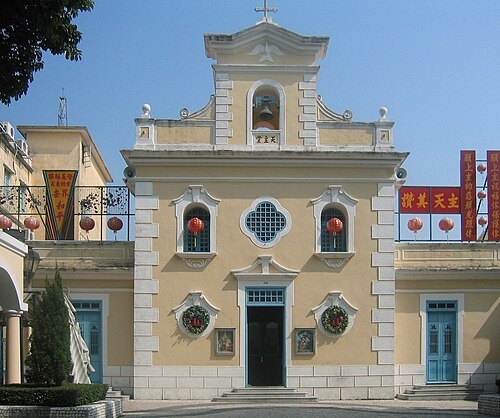 cultural heritage
Capela de São Francisco Xavier
building in Macau, China
Getting there Nearest stop or station Hengqin Port, about 8 min on foot OpenStreetMap
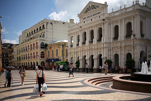 cultural heritage
Santa Casa da Misericórdia
building in Macau
Getting there Nearest stop or station Inner Harbour Ferry Terminal, about 8 min on foot OpenStreetMap
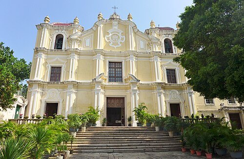 cultural heritage
St. Joseph's Seminary and Church
church building in Macau, China
Getting there Nearest stop or station 司打口總站 Praça Ponte Horta / Terminal, about 4 min on foot OpenStreetMap
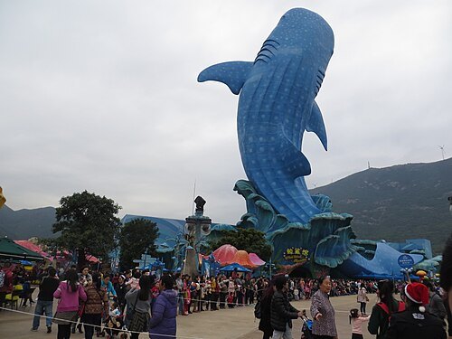 marine mammal park
Zhuhai Chimelong Ocean Kingdom
theme park situated in Hengqin, Zhuhai, China
Getting there Nearest stop or station Zhuhaichanglong, about 16 min on foot OpenStreetMap
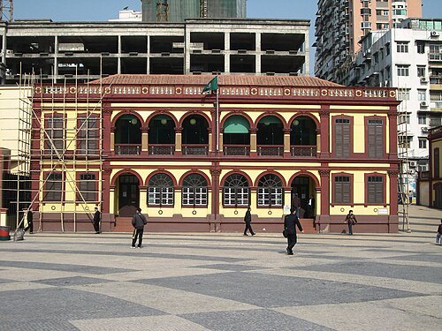 library
Macao Central Library
library of the Macao Public Library system, in São Lázaro, Macau
Getting there Nearest stop or station Cable Car Lower Station, about 6 min on foot OpenStreetMap
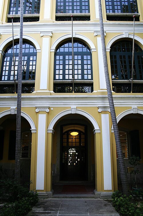
The original uploader was Iidxplus at Chinese Wikipedia. (also known as Billy Au). / CC BY-SA 2.0
public librarySir Robert Ho Tung Library
building in Macau, China
Getting there Nearest stop or station 司打口總站 Praça Ponte Horta / Terminal, about 5 min on foot OpenStreetMap
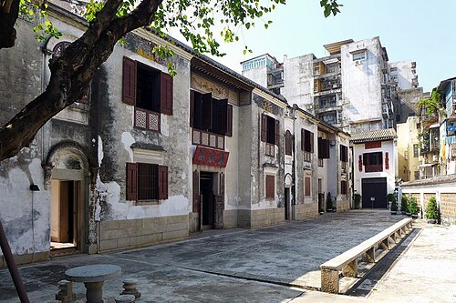 palace
Mandarin's House
building in Macau
Getting there Nearest stop or station 凱泉灣總站 Riviera Macau / Terminal, about 4 min on foot OpenStreetMap
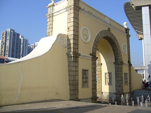
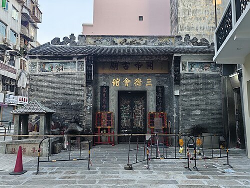 guandi temple
Sam Kai Vui Kun
temple in Macau
Getting there Nearest stop or station Inner Harbour Ferry Terminal, about 7 min on foot OpenStreetMap
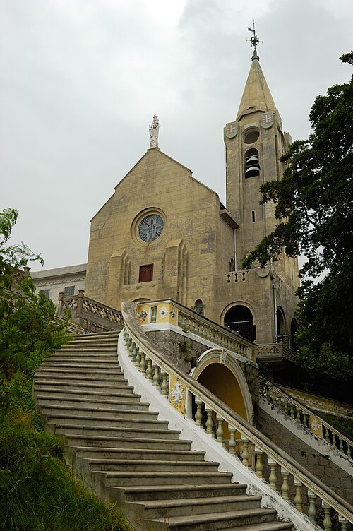 church building
Our Lady of Penha Chapel
building in Macau
Getting there Nearest stop or station 媽閣碼頭 Ponte-cais da Barra, about 7 min on foot OpenStreetMap
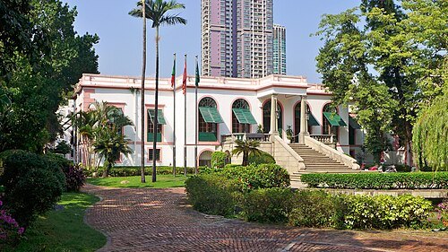 cultural heritage
Casa Garden
building in Macau, China
Getting there Nearest stop or station 白鴿巢總站 Jardim Camões / Terminal, about 2 min on foot OpenStreetMap
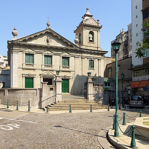 cultural heritage
St. Anthony's Church
church in Macau
Getting there Nearest stop or station 白鴿巢總站 Jardim Camões / Terminal, about 1 min on foot OpenStreetMap
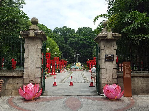 urban park
Camoes Garden
public park in Macau
Getting there Nearest stop or station 白鴿巢總站 Jardim Camões / Terminal, about 2 min on foot OpenStreetMap
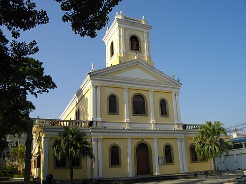 cultural heritage
Our Lady of Carmel Church
church building in Macau, China
Getting there Nearest stop or station 松樹尾總站 Chun Su Mei / Terminal, about 3 min on foot OpenStreetMap
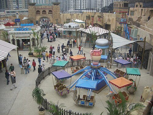 theme park
Macau Fisherman's Wharf
Theme park in Macau
Getting there Nearest stop or station Macau Outer Harbour Ferry Terminal, about 10 min on foot OpenStreetMap
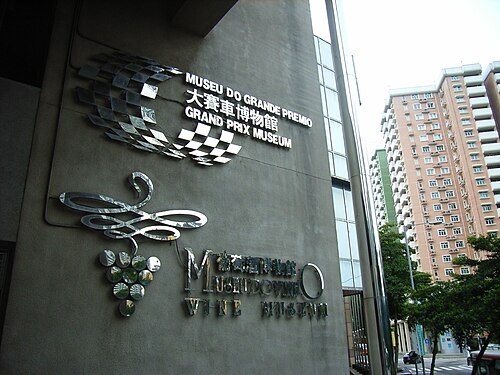
No machine-readable author provided. KAMSAND23 assumed (based on copyright claims). / CC BY-SA 2.5
museumGrand Prix Museum
museum in Macau, China
Getting there Nearest stop or station Cable Car Upper Station, about 8 min on foot OpenStreetMap
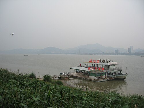
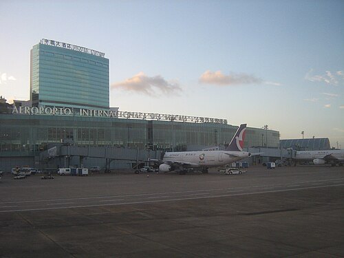 island
Taipa
island in Macau
Getting there Nearest stop or station 湖畔大廈 Edifício do Lago, about 3 min on foot OpenStreetMap
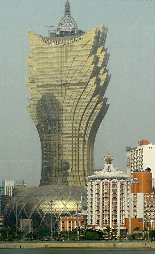 skyscraper
Grand Lisboa
building in Macau, China
Getting there Nearest stop or station 亞馬喇前地 Praça Ferreira Amaral, about 2 min on foot OpenStreetMap
 island
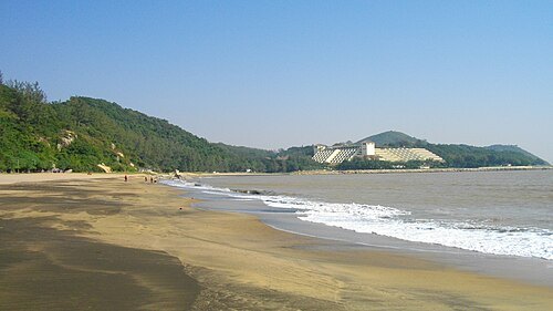
Coloane
island of Macau
Getting there Nearest stop or station Seac Pai Van Station, about 13 min on foot OpenStreetMap
 peninsula
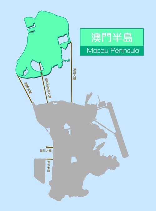
Macau Peninsula
the most populous and historic part of Macau, with an area of 8.5 km²; geographically connected to Guangdong province at the northeast through an isthmus 200 m wide
Getting there Nearest stop or station Cable Car Lower Station, about 7 min on foot OpenStreetMap
Jimmy Yao (vixyao) on Flickr / CC BY-SA 2.0
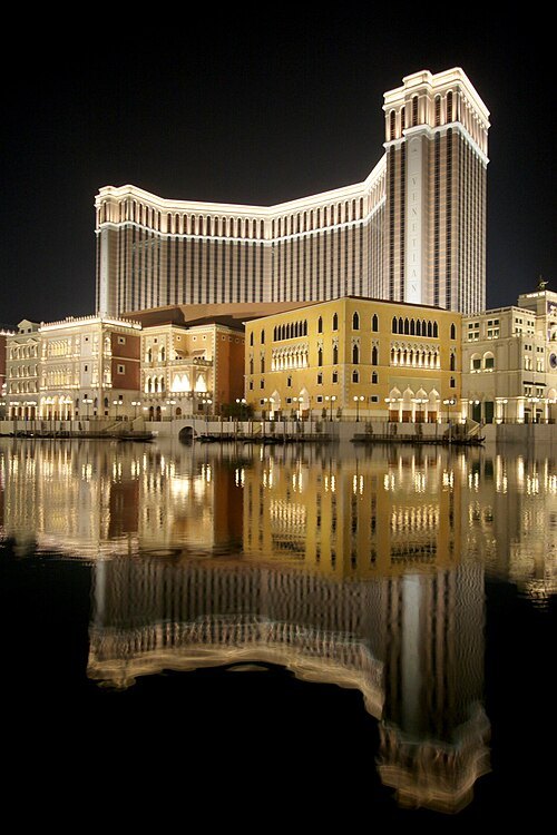
skyscraperThe Venetian Macao
hotel and casino resort in Macau
Getting there Nearest stop or station Cotai West, about 7 min on foot OpenStreetMap
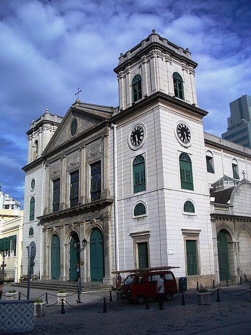
No machine-readable author provided. Whhalbert assumed (based on copyright claims). / CC BY-SA 3.0
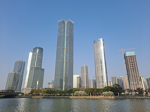
diocese of the catholic churchRoman Catholic Diocese of Macau
diocese of the Catholic Church in China
Getting there Nearest stop or station 亞馬喇前地 Praça Ferreira Amaral, about 7 min on foot OpenStreetMap
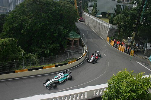 street circuit
Guia Circuit
race track
Getting there Nearest stop or station Cable Car Upper Station, about 5 min on foot OpenStreetMap
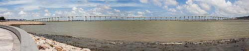 road bridge
Amizade Bridge
bridge in Macau
Getting there Nearest stop or station East Zone South Station (Construction), about 10 min on foot OpenStreetMap
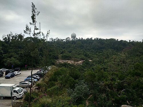 mountain
Alto de Coloane
highest point in Macau, China
Getting there Nearest stop or station Seac Pai Van Station, about 14 min on foot OpenStreetMap
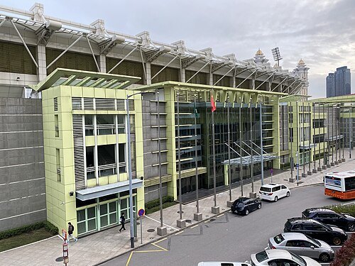 stadium
Estádio Campo Desportivo
building in Taipa, Macau
Getting there Nearest stop or station Stadium Station, about 2 min on foot OpenStreetMap
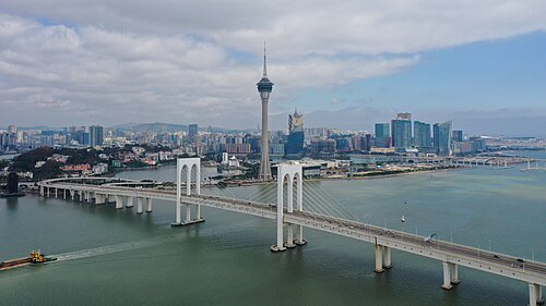
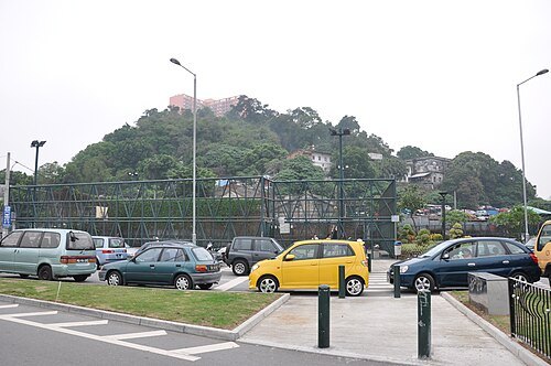 island
Ilha Verde
island in Macau
Getting there Nearest stop or station 俾若翰街 / 快富樓 Rua do Comandante João Belo/Edifício Fai Fu, about 8 min on foot OpenStreetMap
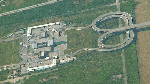 international bridge
Lótus Bridge
bridge
Getting there Nearest stop or station Hengqin, about 3 min on foot OpenStreetMap
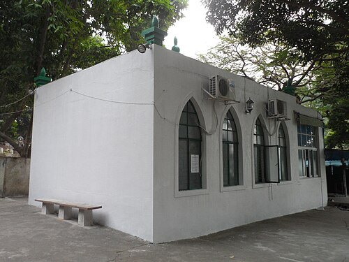 cemetery
Macau Mosque and Cemetery
mosque and Muslim cemetery in Macau, China
Getting there Nearest stop or station Cable Car Upper Station, about 7 min on foot OpenStreetMap
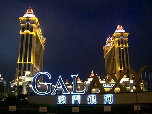 resort
Galaxy Macau
building in Cotai, China
Getting there Nearest stop or station Pai Kok, about 3 min on foot OpenStreetMap
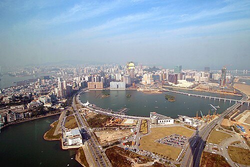 artificial lake
Nam Van Lake
lake in Macau
Getting there Nearest stop or station 亞馬喇前地 Praça Ferreira Amaral, about 7 min on foot OpenStreetMap
- island
Zhongshan Island
island in China
Getting there Nearest stop or station Cable Car Lower Station, about 7 min on foot OpenStreetMap
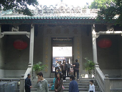 buddhist temple
Templo de Kun Iam Tong
temple in Macau
Getting there Nearest stop or station Cable Car Lower Station, about 7 min on foot OpenStreetMap
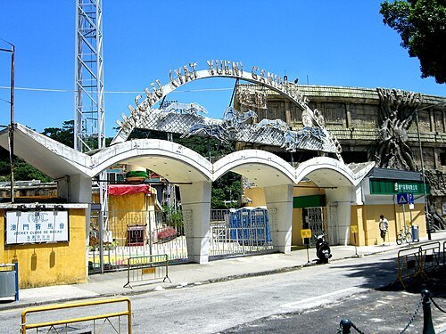 sports venue
Canidrome
greyhound racing stadium in Macau
Getting there Nearest stop or station 筷子基總站 Fai Chi Kei / Terminal, about 4 min on foot OpenStreetMap
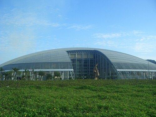
No machine-readable author provided. 9old9 assumed (based on copyright claims). / CC BY-SA 3.0
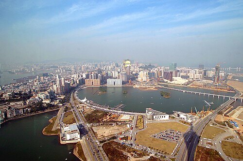 artificial lake
Sai Van Lake
lake of Macau
Getting there Nearest stop or station Barra Public Transport Interchange, about 9 min on foot OpenStreetMap
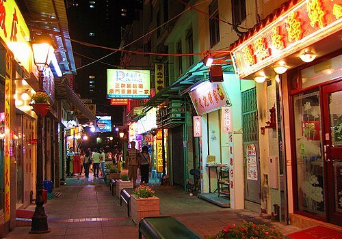 street
Rua do Cunha
street in Macau
Getting there Nearest stop or station 松樹尾總站 Chun Su Mei / Terminal, about 2 min on foot OpenStreetMap
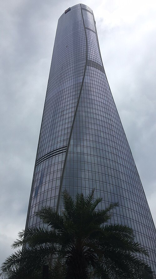 tower block
Zhuhai St. Regis Hotel & Office Tower
building in Zhuhai, China
Getting there Nearest stop or station Shizimen, about 10 min on foot OpenStreetMap


Places to eat
- restaurant
A Lorcha
Food: portuguese
- cafe
GOTA COFFEE
Food: coffee shop
- restaurant
添發碗仔翅美食 Delícias Tim Fat Wun Tsai Ci
Food: chinese
Nothing here matches that. Clear a filter and try again.
Opening hours and tickets: OpenStreetMap contributors. Each one shows the day a volunteer last wrote it down, so check the official site before you set out.