Guangzhou: what to see and where to eat
Everything below comes from open data and each row says where it came from. We have not been to any of these places and we do not rank them.
Filters
Things to see
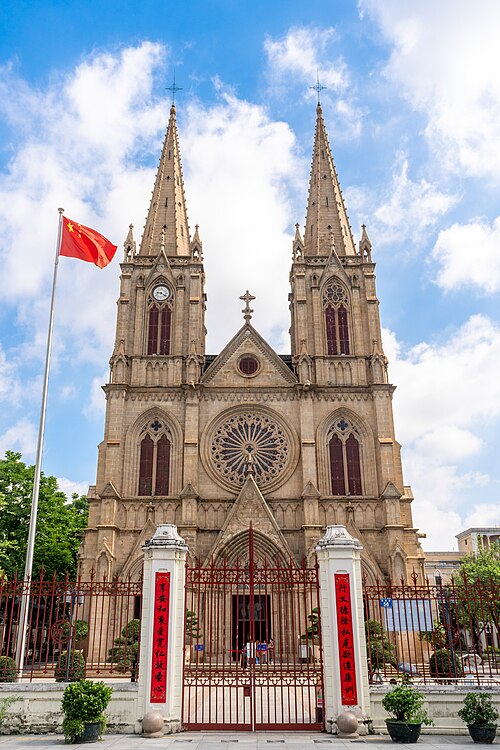 cathedral
Sacred Heart Cathedral
Roman Catholic cathedral in Guangzhou (Canton), South China
Getting there Nearest stop or station Yide Lu, about 5 min on foot OpenStreetMap
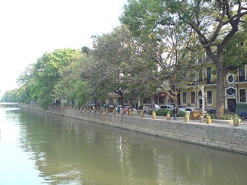 island
Shamian
island
Getting there Nearest stop or station Fangcun Ferry Pier, about 7 min on foot OpenStreetMap
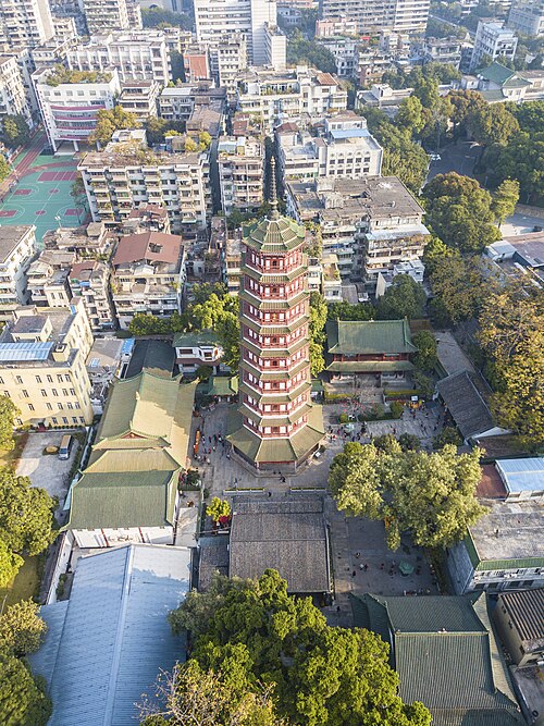 cultural heritage of china
Temple of the Six Banyan Trees
building in Temple of the Six Banyan Trees, China
Getting there Nearest stop or station Gongyuanqian, about 8 min on foot OpenStreetMap
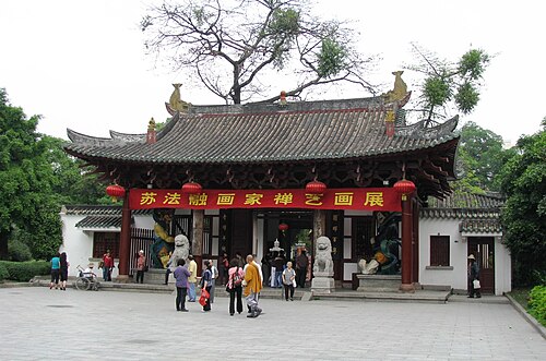
David Chen User:Iamdavidtheking 12:44, 11 April 2008 (UTC) / CC BY 3.0
buddhist templeGuangxiao Temple
Buddhist temple in Guangzhou, Guangdong, China
Getting there Nearest stop or station Ximenkou, about 7 min on foot OpenStreetMap
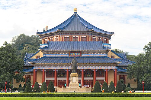 cultural heritage of china
Sun Yat-sen Memorial Hall (Guangdong)
memorial hall in Canton, Guangzhou, Guangdong Province, China
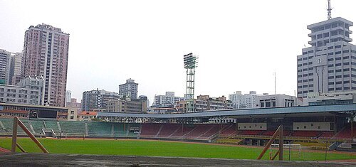 stadium
Guangdong Provincial People's Stadium
stadium
Getting there Nearest stop or station Martyrs' Park, about 4 min on foot OpenStreetMap
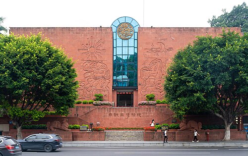 mausoleum
Site of King's Tomb, Nanyue King Museum
mausoleum
Getting there Nearest stop or station Yuexiu Park, about 4 min on foot OpenStreetMap
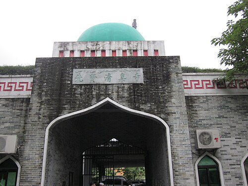 mosque
Xianxian Mosque
mosque in Guangdong
Getting there Nearest stop or station 广州火车站(草暖公园)公交站场, about 2 min on foot OpenStreetMap
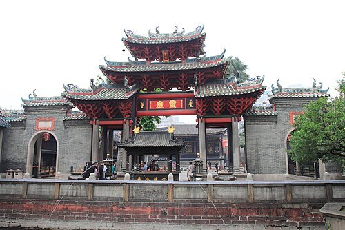 taoist temple
Foshan Ancestral Temple
building in Foshan, China
Getting there Nearest stop or station 岭南天地公交首末站, about 4 min on foot OpenStreetMap
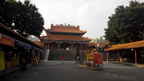 taoist temple
Wong Tai Sin Temple
Temple in Guangzhou
Getting there Nearest stop or station Shiweitang, about 14 min on foot OpenStreetMap
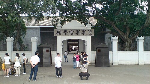 heritage site
Site of Whampoa Military Academy
Getting there Nearest stop or station Changzhou Ferry Pier, about 12 min on foot OpenStreetMap
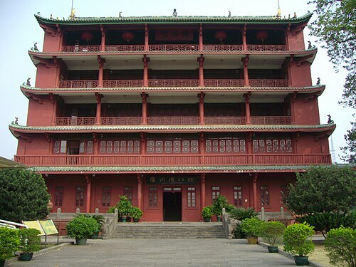 cultural heritage
Zhenhai Tower
building in Yuexiu District, China
Getting there Nearest stop or station Yuexiu Park, about 7 min on foot OpenStreetMap
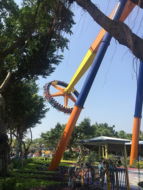 amusement park
Chimelong Paradise
amusement park
Getting there Nearest stop or station Hanxi Changlong, about 15 min on foot OpenStreetMap
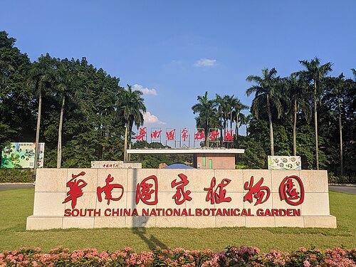 botanical garden
South China Botanical Garden, Chinese Academy of Sciences
facility in Guangzhou, China
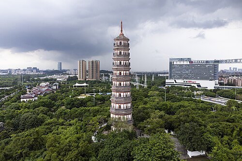
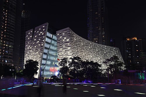 public library
Guangzhou Library
public library in Guangzhou, China
Getting there Nearest stop or station 兴民路(天汇广场)公交站场, about 5 min on foot OpenStreetMap
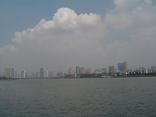
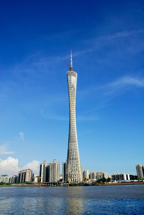
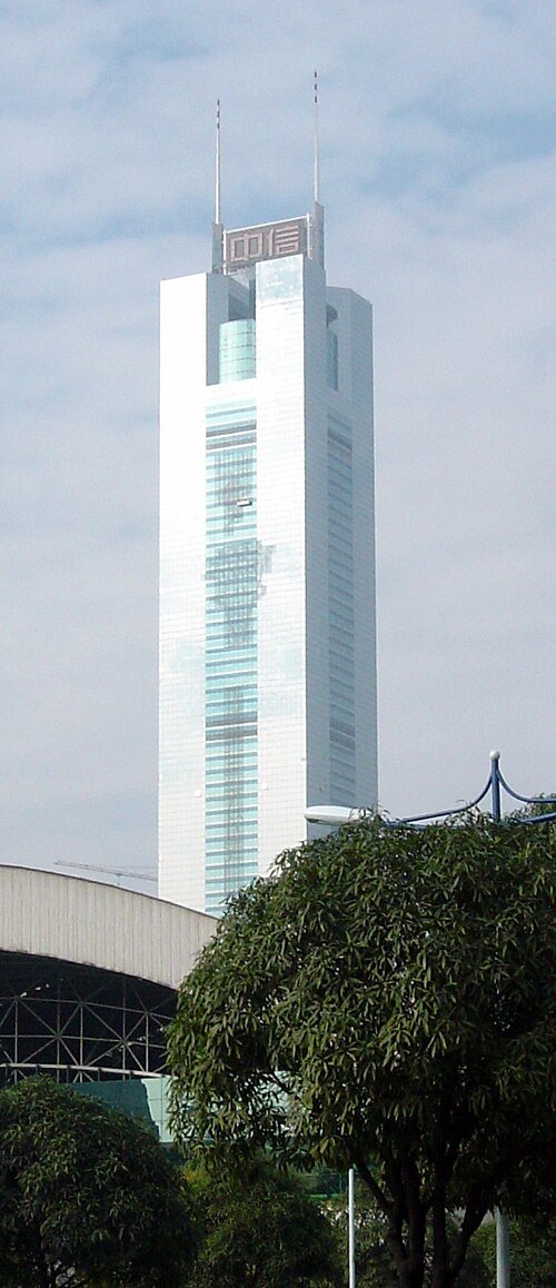 skyscraper
CITIC Plaza
skyscraper in the Tianhe District of Guangzhou, Guangdong, China
Getting there Nearest stop or station Linhexi, about 2 min on foot OpenStreetMap
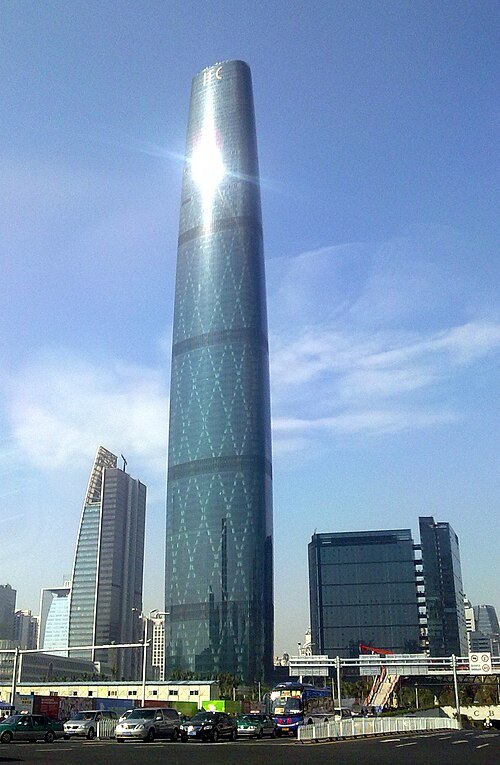 skyscraper
Guangzhou International Finance Center
building in Guangzhou, China
Getting there Nearest stop or station Huacheng Dadao, about 3 min on foot OpenStreetMap
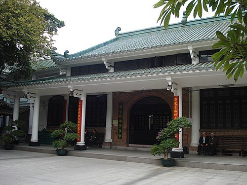 mosque
Huaisheng Mosque
mosque in Guangdong
Getting there Nearest stop or station Ximenkou, about 7 min on foot OpenStreetMap
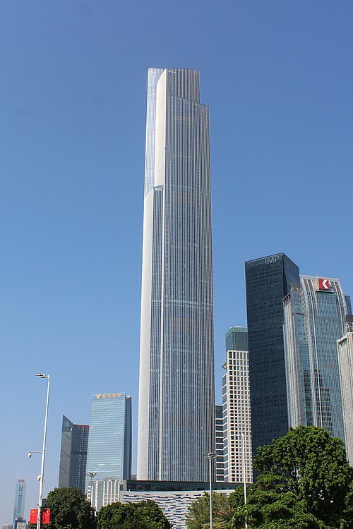 skyscraper
CTF Finance Centre
supertall skyscraper in Guangzhou, China
Getting there Nearest stop or station Huacheng Dadao, about 4 min on foot OpenStreetMap
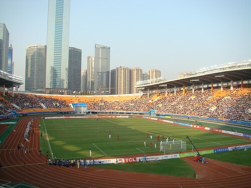 stadium
Tianhe Stadium
stadium
Getting there Nearest stop or station Linhexi, about 5 min on foot OpenStreetMap
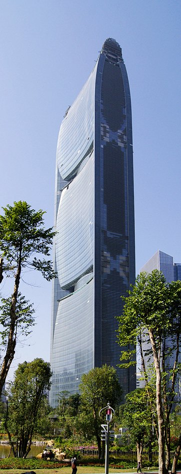 tower block
Pearl River Tower
tower block
Getting there Nearest stop or station Guangzhou Women and Children's Medical Center, about 3 min on foot OpenStreetMap
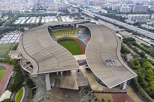 stadium
Guangdong Olympic Center
sports venues in Guangzhou, Guangdong Province, China
Getting there Nearest stop or station Huangcun, about 6 min on foot OpenStreetMap
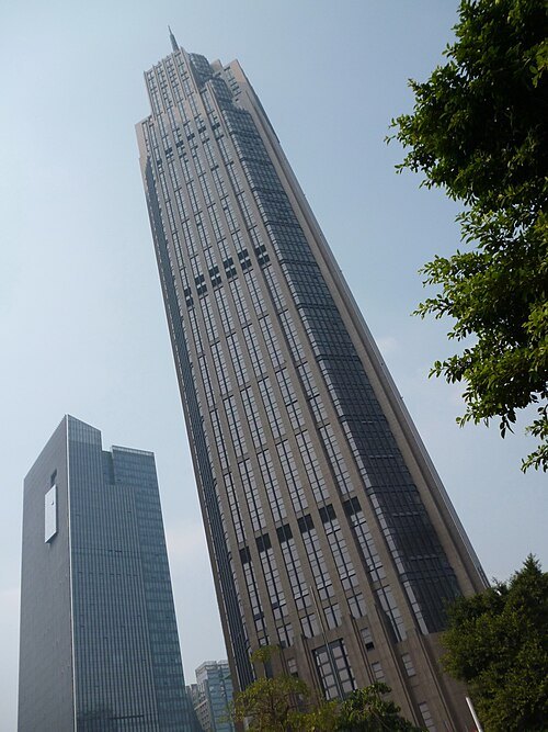 skyscraper
Grand International Mansion
360-meter skyscraper located in Guangdong
Getting there Nearest stop or station Huangpu Dadao, about 3 min on foot OpenStreetMap
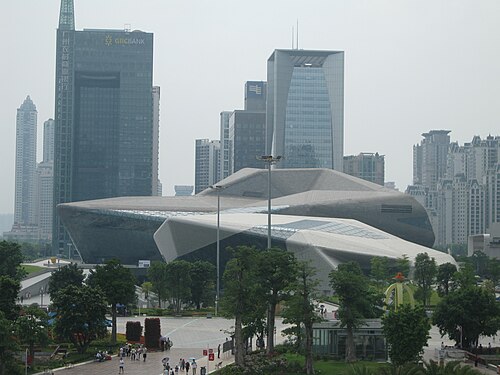
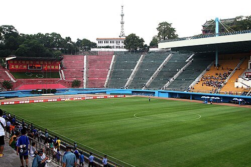 stadium
Yuexiushan Stadium
stadium
Getting there Nearest stop or station Sun Yat-Sen Memorial Hall, about 8 min on foot OpenStreetMap
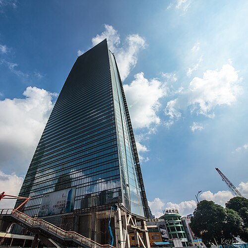 skyscraper
Fortune Center
skyscraper
Getting there Nearest stop or station Liede, about 6 min on foot OpenStreetMap
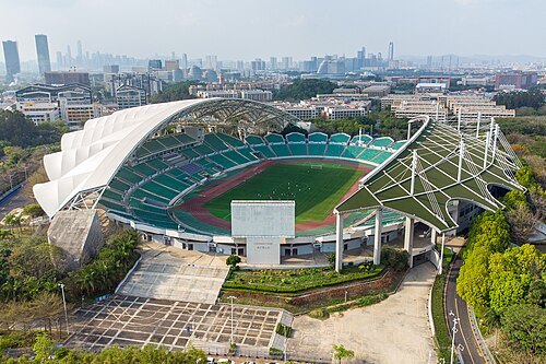 stadium
Guangzhou Higher Education Mega Center Central Stadium
stadium in Panyu, Guangzhou
Getting there Nearest stop or station Higher Education Mega Center Sport Center Bus Terminal, about 6 min on foot OpenStreetMap
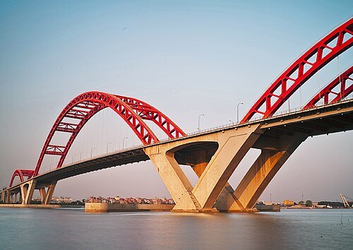 arch bridge
Xinguang Bridge
arch bridge in China
Getting there Nearest stop or station Lijiao, about 14 min on foot OpenStreetMap
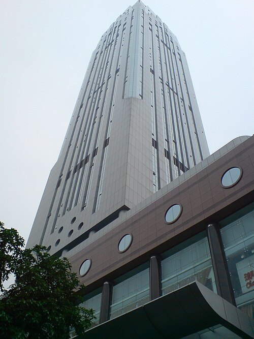 skyscraper
Post & Telecommunication Hub
skyscraper
Getting there Nearest stop or station Dongshan Bus Terminal, about 2 min on foot OpenStreetMap
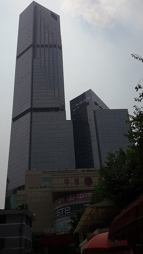 skyscraper
China International Center
building in Guangzhou, China
Getting there Nearest stop or station Martyrs' Park, about 6 min on foot OpenStreetMap
- association football venue
Guangzhou Football Park
football stadium
Getting there Nearest stop or station Xiecun, about 16 min on foot OpenStreetMap
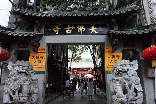 buddhist temple
Dafo Temple
Buddhist temple in Canton
Getting there Nearest stop or station Beijing Lu, about 7 min on foot OpenStreetMap
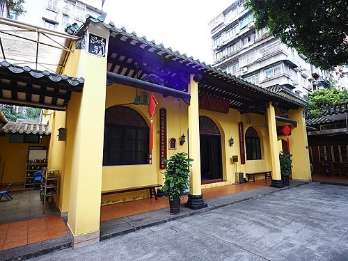 mosque
Xiaodongying Mosque
mosque in Guangdong
Getting there Nearest stop or station Peasant Movement Institute, about 1 min on foot OpenStreetMap
 museum
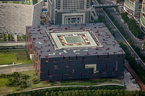
Guangdong Museum
general museum in Guangzhou, Guangdong, China
Getting there Nearest stop or station Guangzhou Opera House, about 4 min on foot OpenStreetMap
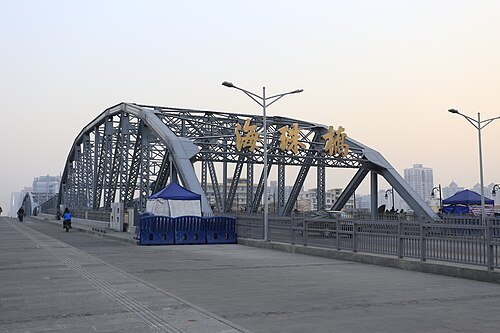 road bridge
Haizhu Bridge
bridge in People's Republic of China
Getting there Nearest stop or station Haizhu Square, about 5 min on foot OpenStreetMap
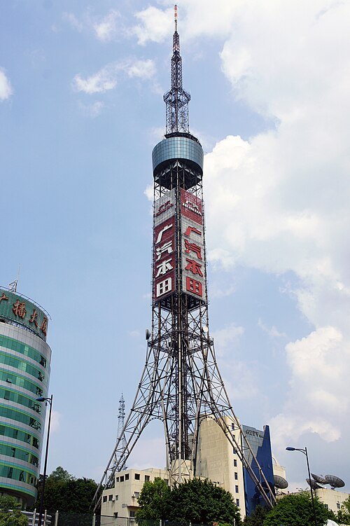
Kirakirameister / CC BY-SA 3.0
television towerGuangzhou TV Tower
architectural structure
Getting there Nearest stop or station 广州火车站(草暖公园)公交站场, about 12 min on foot OpenStreetMap
- stadium
New Plaza Stadium
building in Foshan, China
Getting there Nearest stop or station 岭南天地公交首末站, about 6 min on foot OpenStreetMap
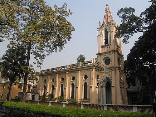
Anthony Hartman from Meizhou, China / CC BY 2.0
chapelOur Lady of Lourdes Chapel
chapel in Shamian Island, Guangzhou
Getting there Nearest stop or station Cultural Park, about 5 min on foot OpenStreetMap
 skyscraper
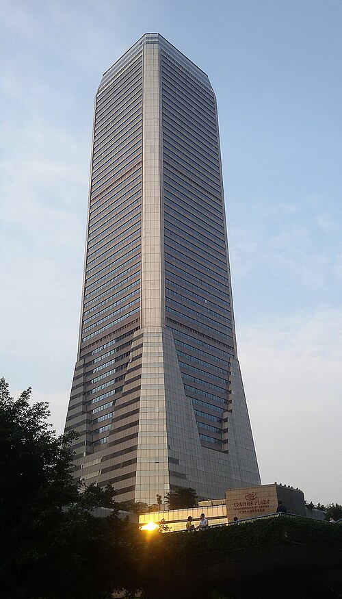
Guangdong International Building
building in Guangdong, China
Getting there Nearest stop or station Taojin, about 7 min on foot OpenStreetMap
 skyscraper
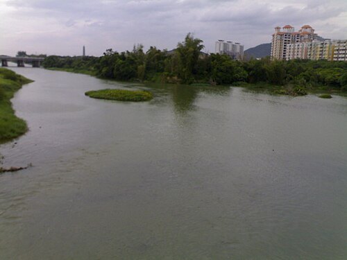
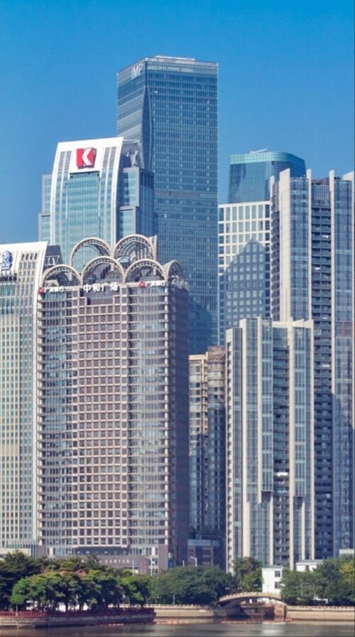
Zhujiang New City Tower
skyscraper in Guangzhou City, Guangdong Province, China
Getting there Nearest stop or station 兴民路(天汇广场)公交站场, about 3 min on foot OpenStreetMap
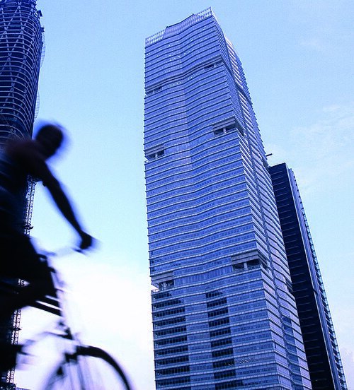 skyscraper
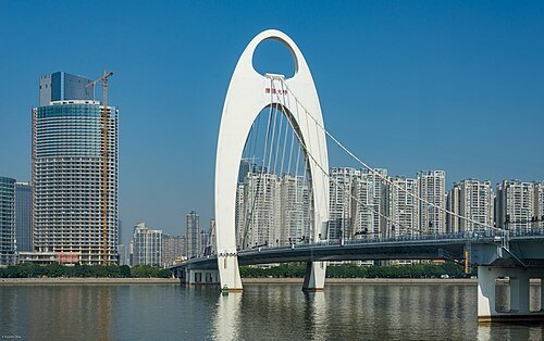
R&F Centre
building in Tianhe, Guangzhou, China
Getting there Nearest stop or station Zhujiang New Town, about 4 min on foot OpenStreetMap
- island
Haixinsha Island
island in People's Republic of China
Getting there Nearest stop or station Lijiao, about 4 min on foot OpenStreetMap
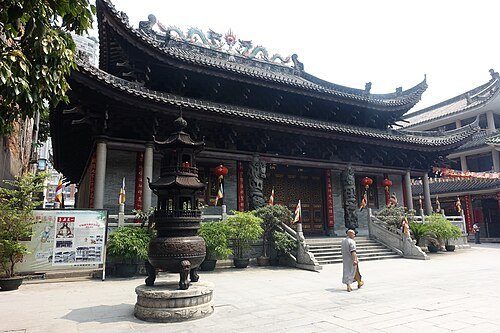 buddhist temple
Hualin Temple
building in Guangzhou, China
Getting there Nearest stop or station Hualinsi Buddhist Temple, about 3 min on foot OpenStreetMap
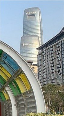 skyscraper
Poly Plaza
building in People's Republic of China
Getting there Nearest stop or station Wanshengwei, about 11 min on foot OpenStreetMap
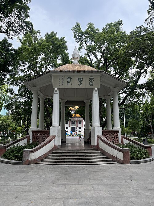 urban park
People's Park
park in Guangzhou, China
Getting there Nearest stop or station Gongyuanqian, about 4 min on foot OpenStreetMap
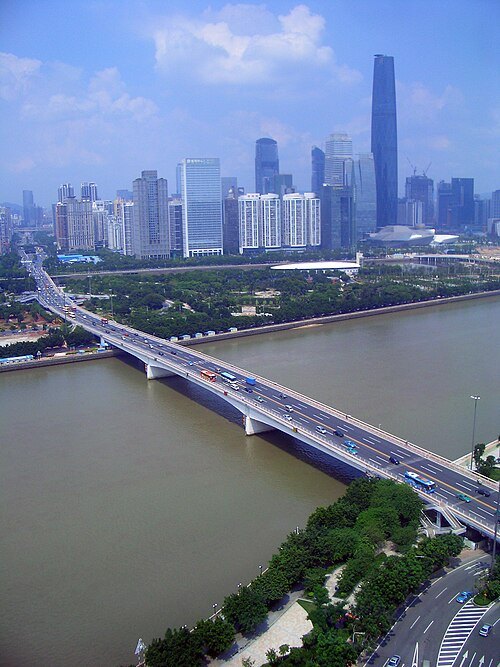 bridge
Guangzhou Bridge
bridge in People's Republic of China
Getting there Nearest stop or station 海心沙西区码头, about 13 min on foot OpenStreetMap
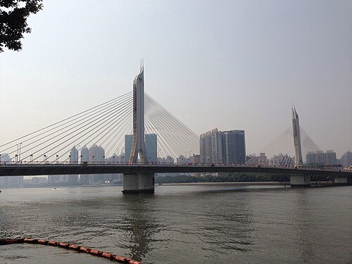
Edwin Poon from Canton,China, China / CC BY-SA 2.0
bridgeHaiyin Bridge
bridge in People's Republic of China
Getting there Nearest stop or station 大沙头游船码头, about 6 min on foot OpenStreetMap


Places to eat
- restaurant
南信牛奶甜品专家
Food: dessert
- restaurant
广聚茶仔
Food: chinese
- cafe
星巴克
Food: coffee shop
- restaurant
竹升面
Food: chinese, ramen
Nothing here matches that. Clear a filter and try again.
Opening hours and tickets: OpenStreetMap contributors. Each one shows the day a volunteer last wrote it down, so check the official site before you set out.