Changsha: what to see and where to eat
Everything below comes from open data and each row says where it came from. We have not been to any of these places and we do not rank them.
Filters
Things to see
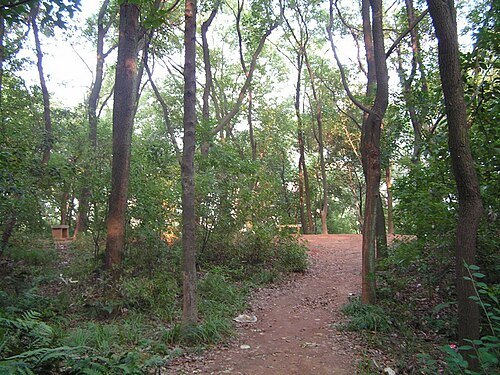
The original uploader was Juansheng at Chinese Wikipedia. / CC BY-SA 3.0
archaeological siteMawangdui
archaeological site in Changsha, China
Getting there Nearest stop or station Huojucun, about 8 min on foot OpenStreetMap
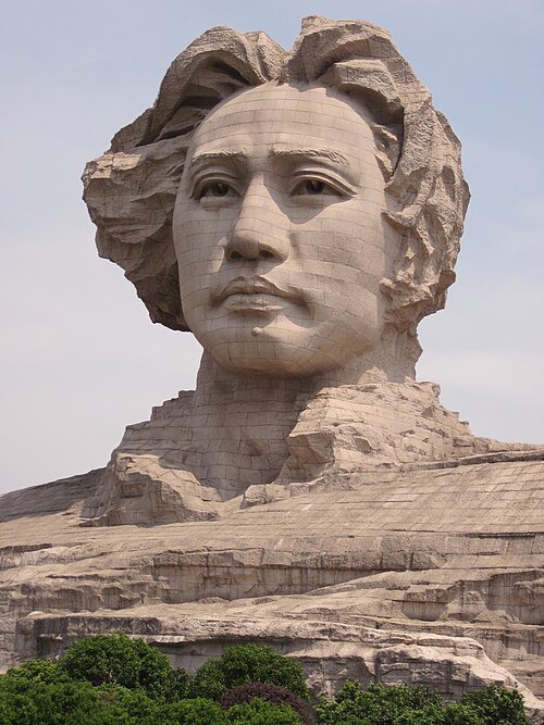
Li Ming (sculptor) / CC BY 3.0
monumentYoung Mao Zedong Statue
Statue in Hunan province, China
Getting there Nearest stop or station Bishahu, about 13 min on foot OpenStreetMap
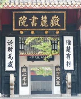 major historical and cultural site protected at the national level
Yuelu Academy
Academy in Hunan, China
Getting there Nearest stop or station Hunan University, about 8 min on foot OpenStreetMap
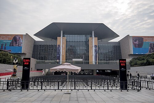 museum
Hunan Museum
provincial museum in Hunan, China
Getting there Nearest stop or station Xiangya Hospital, about 9 min on foot OpenStreetMap
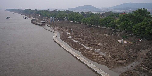
The original uploader was Cncs wikipedia at Chinese Wikipedia. / CC BY-SA 3.0
islandOrange Isle
Xiang River, Changsha, Hunan
Getting there Nearest stop or station Lingguandu, about 7 min on foot OpenStreetMap
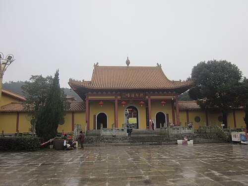
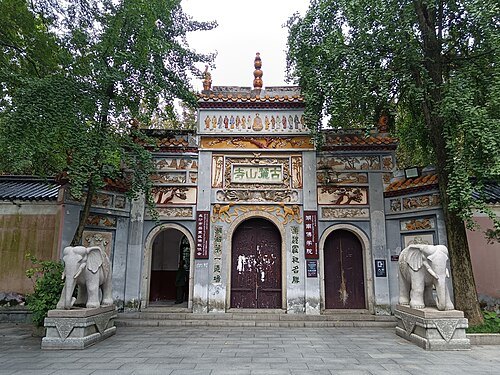 buddhist temple
Lushan Temple
building in Lushan Temple, China
Getting there Nearest stop or station Hunan University, about 7 min on foot OpenStreetMap
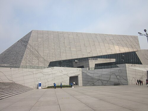 national museum
Changsha Museum
history museum in Hunan, China
Getting there Nearest stop or station Machang, about 11 min on foot OpenStreetMap
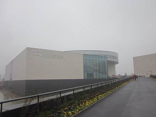 museum
Li Zijian Art Museum
art museum in Changsha, China
Getting there Nearest stop or station Heishipu, about 20 min on foot OpenStreetMap
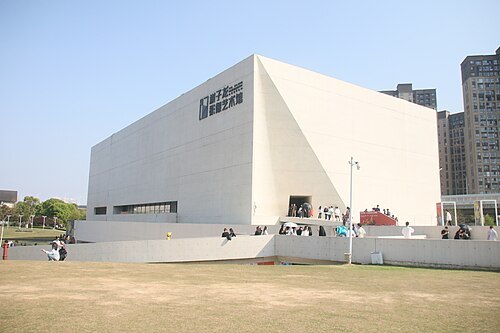 museum
Xie Zilong Photography Museum
museum in Changsha, China
Getting there Nearest stop or station Heishipu, about 17 min on foot OpenStreetMap
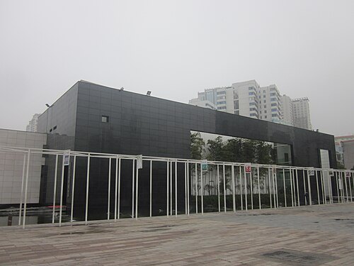 museum
Changsha Jiandu Museum
museum in Changsha, China
Getting there Nearest stop or station Nanmenkou, about 11 min on foot OpenStreetMap
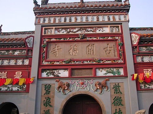
The original uploader was FatCatHu at Chinese Wikipedia. / CC BY-SA 3.0
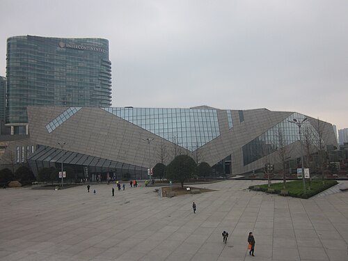 public library
Changsha Library
public library in the Hunan province of China
Getting there Nearest stop or station Machang, about 12 min on foot OpenStreetMap
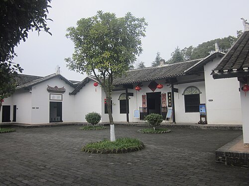
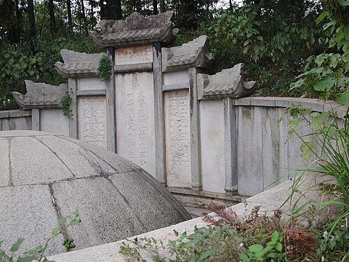
The original uploader was FatCatHu at Chinese Wikipedia. / CC BY-SA 3.0
tombZeng Guofan Tomb
tomb in Hunan, China
Getting there Nearest stop or station Tonxi Park, about 5 min on foot OpenStreetMap
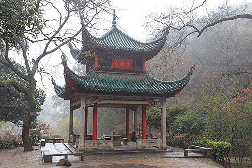 cultural heritage of china
Autumn-Admiring Pavilion
Pavilion in Changsha, Hunan, China
Getting there Nearest stop or station 岳麓山索道, about 12 min on foot OpenStreetMap
- theme park
Window of the World
theme park in Changsha, Hunan, China
Getting there Nearest stop or station Xianglong, about 17 min on foot OpenStreetMap
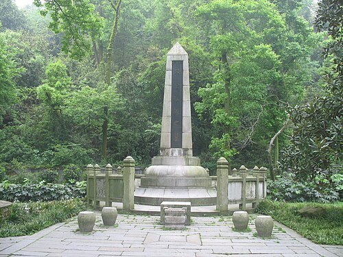 tomb
Tomb of Cai E
Getting there Nearest stop or station 岳麓山索道, about 14 min on foot OpenStreetMap
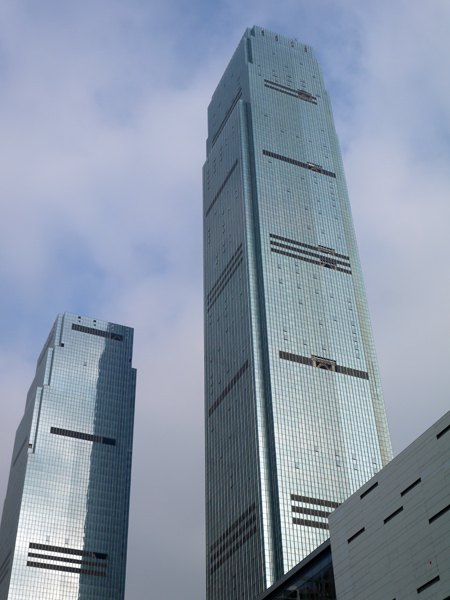 tower block
Changsha IFS
building in Hunan, China
Getting there Nearest stop or station Huangxing Square, about 7 min on foot OpenStreetMap
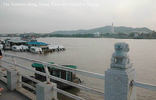 mountain range
Yuelu Mountain
mountain range in Hunan, China
Getting there Nearest stop or station 岳麓山索道, about 4 min on foot OpenStreetMap
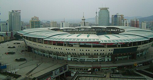 stadium
Helong Stadium
stadium in Changsha, Hunan
Getting there Nearest stop or station Houjiatang, about 8 min on foot OpenStreetMap
- archaeological site
Zoumalou
archaeological site in Changsha, China
Getting there Nearest stop or station Wuyi Square, about 1 min on foot OpenStreetMap
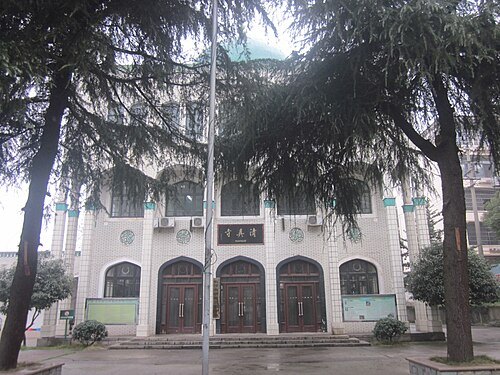 mosque
Changsha Mosque
mosque in Changsha, Hunan, China
Getting there Nearest stop or station Nanmenkou, about 11 min on foot OpenStreetMap
- river
Laodao River
river in People's Republic of China
Getting there Nearest stop or station Kaifu District Government, about 20 min on foot OpenStreetMap
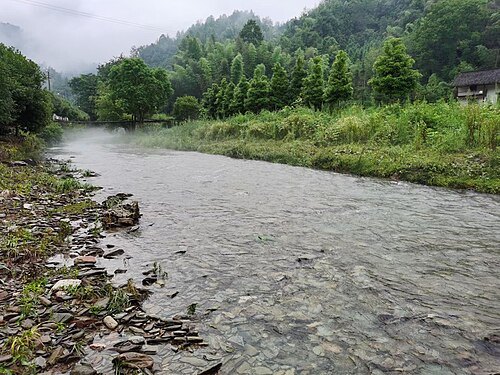 river
Liuyang River
river in People's Republic of China
Getting there Nearest stop or station Machang, about 17 min on foot OpenStreetMap
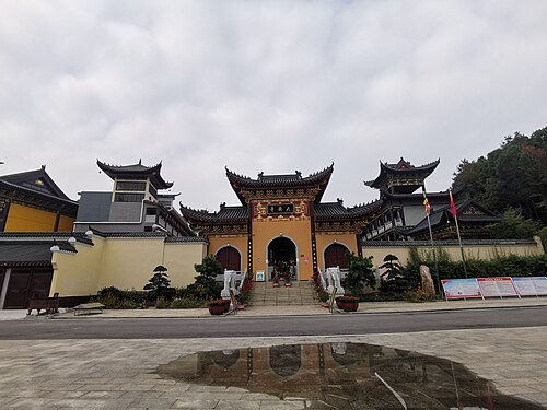
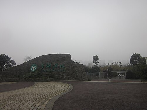 park
Yanghu Wetland Park
park in Yuelu District, People's Republic of China
Getting there Nearest stop or station Yanghu ECO. Town, about 10 min on foot OpenStreetMap
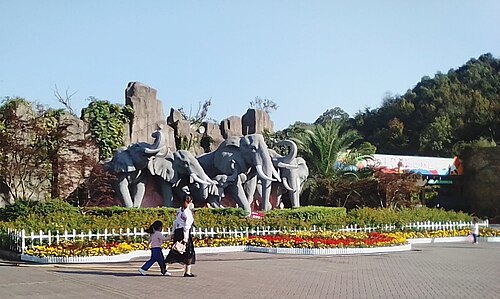
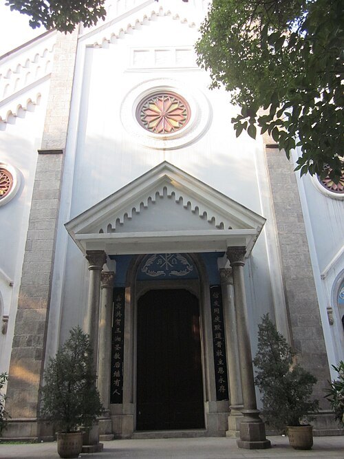 catholic cathedral
Cathedral of the Immaculate Conception
Roman Catholic cathedral in Changsha, Hunan, China
Getting there Nearest stop or station South Martyrs Park, about 11 min on foot OpenStreetMap
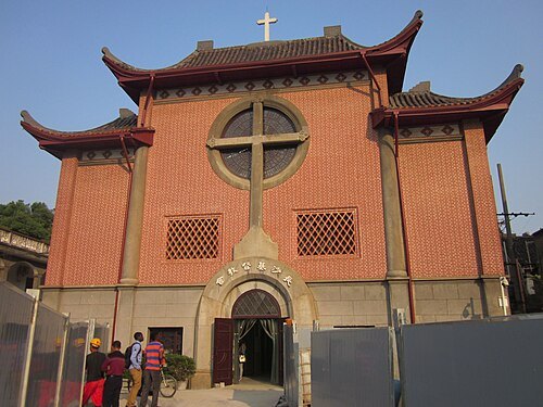 church building
Changsha Church Christianity
church in Hunan, China
Getting there Nearest stop or station Xiangya Hospital, about 8 min on foot OpenStreetMap
- botanical garden
Hunan Forest Botanical Garden
botanical garden and arboretum in China
Getting there Nearest stop or station Xiangfu Road, about 12 min on foot OpenStreetMap
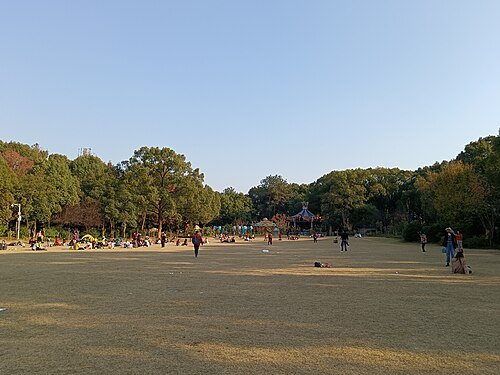
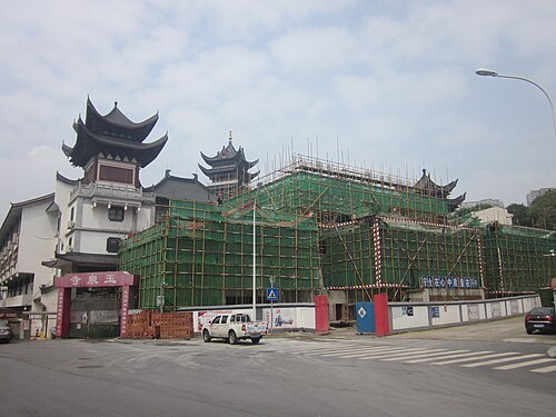 temple
Yuquan Temple (Changsha)
Buddhist temple in Tianxin District of Changsha, Hunan, China
Getting there Nearest stop or station Huangtuling, about 7 min on foot OpenStreetMap
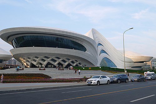 cultural center
Meixihu
International Culture and Art Centre in Changsha (Hunan, China)
Getting there Nearest stop or station East Meixi Lake, about 9 min on foot OpenStreetMap
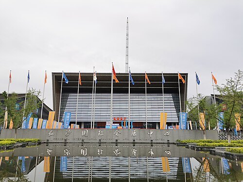 exhibition park
Changsha International Convention and Exhibition Center
Changsha,China
Getting there Nearest stop or station Dujiaping, about 8 min on foot OpenStreetMap
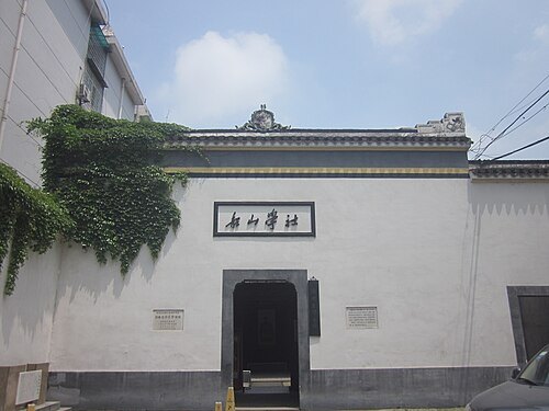 cultural heritage
Site of Hunan Self-study University
short- lived Educational Organization in Hunan
Getting there Nearest stop or station Furong Square, about 10 min on foot OpenStreetMap
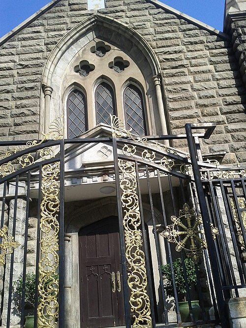 church building
Beizhengjie Christian Church
church building in Hunan, China
Getting there Nearest stop or station Peiyuanqiao, about 9 min on foot OpenStreetMap
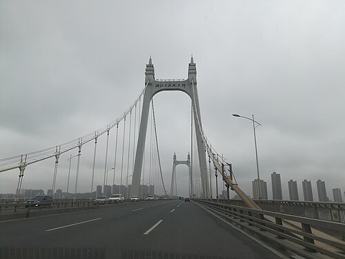
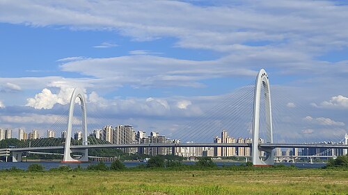
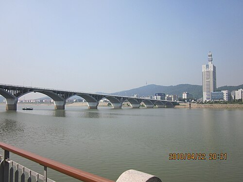 road bridge
Orange Isle Bridge
bridge in Hunan, China
Getting there Nearest stop or station Juzizhou, about 2 min on foot OpenStreetMap
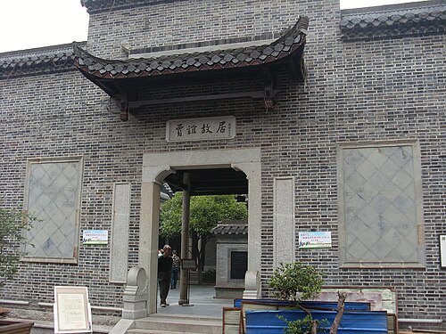 cultural heritage
Jia Yi's Former Residence
traditional folk houses in Hunan, China
Getting there Nearest stop or station Huangxing Square, about 2 min on foot OpenStreetMap
- public library
Hunan Library
public library in Changsha City, China
Getting there Nearest stop or station Yaoling & The Second Xiangya Hospital, about 5 min on foot OpenStreetMap
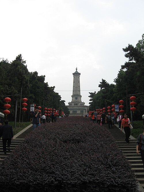
SlytherinPrefect / CC BY-SA 2.0
parkHunan Martyrs Park
park in Changsha, Hunan, China
Getting there Nearest stop or station East Martyrs Park, about 8 min on foot OpenStreetMap
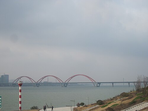 bridge
Fuyuan Road Bridge
bridge in People's Republic of China
Getting there Nearest stop or station West Fuyuan Bridge, about 17 min on foot OpenStreetMap
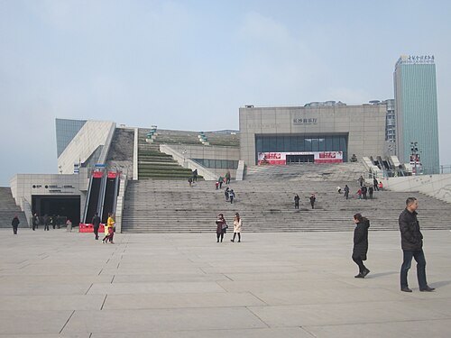 concert hall
Changsha Concert Hall
cultural building in Changsha, Hunan, China
Getting there Nearest stop or station Machang, about 12 min on foot OpenStreetMap
- skyscraper
Xiangjiang Fortune Finance Center
skyscraper in Changsha, Hunan, China
Getting there Nearest stop or station Chazishan, about 6 min on foot OpenStreetMap
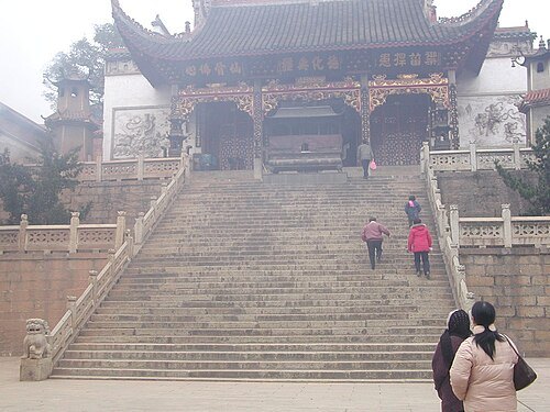
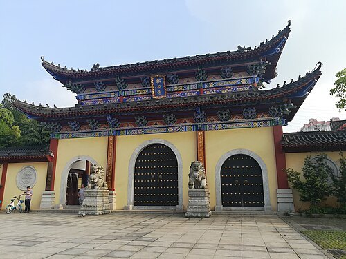
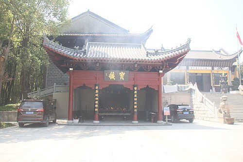
- museum
Hunan Museum of Geology
geology museum in Changsha, Hunan
Getting there Nearest stop or station Provincial Government, about 11 min on foot OpenStreetMap
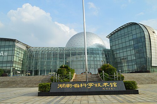 museum
Hunan Provincial Science and Technology Museum
museum in Changsha, Hunan, China
Getting there Nearest stop or station Provincial Government, about 16 min on foot OpenStreetMap
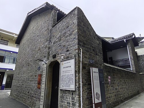 cultural heritage
Former Residence of Kim Gu in Changsha
korean history museum in Changsha, China
Getting there Nearest stop or station Peiyuanqiao, about 7 min on foot OpenStreetMap
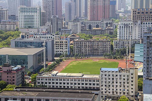 stadium
Hunan Provincial People's Stadium
building in Hunan Provincial People's Stadium, China
Getting there Nearest stop or station South Martyrs Park, about 5 min on foot OpenStreetMap
- urban park
Xiaoyuan Park
park in Changsha, China
Getting there Nearest stop or station Changsha, about 5 min on foot OpenStreetMap
- urban park
Zifeng Park
park in Changsha, China
Getting there Nearest stop or station Kaifusi, about 9 min on foot OpenStreetMap


Places to eat
No eating place in this city lists its cuisine and opening hours yet.
Nothing here matches that. Clear a filter and try again.
Opening hours and tickets: OpenStreetMap contributors. Each one shows the day a volunteer last wrote it down, so check the official site before you set out.