Windsor: what to see and where to eat
Everything below comes from open data and each row says where it came from. We have not been to any of these places and we do not rank them.
Filters
Things to see
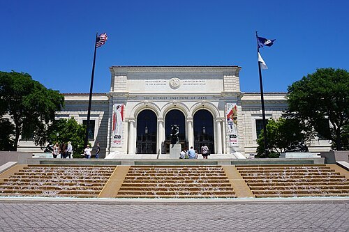
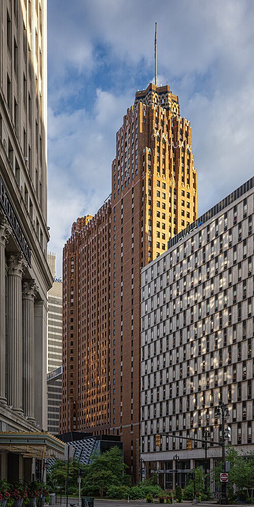 skyscraper
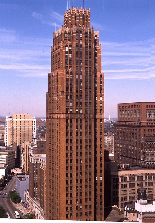
Guardian Building
skyscraper in Michigan in the United States
Getting there Nearest stop or station Financial District, about 2 min on foot OpenStreetMap
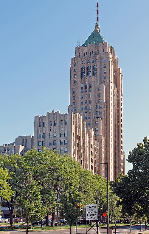 skyscraper
Fisher Building
skyscraper in Detroit, Michigan, United States, including the Fisher Theater
Getting there Nearest stop or station Detroit, about 7 min on foot OpenStreetMap
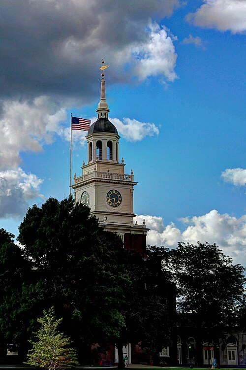 history museum
The Henry Ford
museum of history in Dearborn, Michigan, United States
Getting there Nearest stop or station Dearborn, about 6 min on foot OpenStreetMap
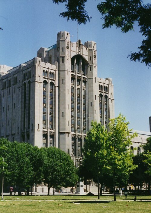
Einar Einarsson Kvaran aka Carptrash at en.wikipedia / CC BY-SA 3.0
theatre buildingDetroit Masonic Temple
masonic building in Detroit, Michigan
Getting there Nearest stop or station Grand Circus Park, about 16 min on foot OpenStreetMap
- skyscraper
Cadillac Place
high-rise office complex in the New Center area of Detroit, Michigan
Getting there Nearest stop or station Detroit, about 4 min on foot OpenStreetMap
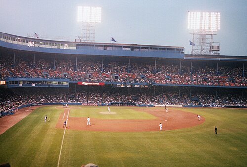
user:RickDikeman / CC BY-SA 3.0
stadiumTiger Stadium
baseball stadium located in Detroit, Michigan
Getting there Nearest stop or station Greyhound Detroit Station, about 15 min on foot OpenStreetMap
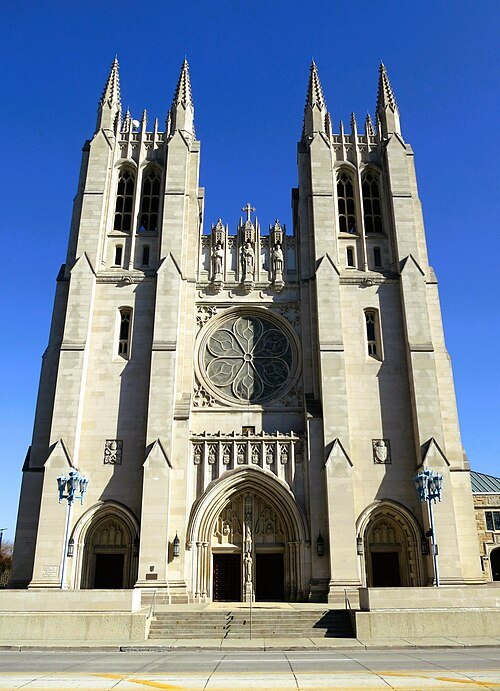
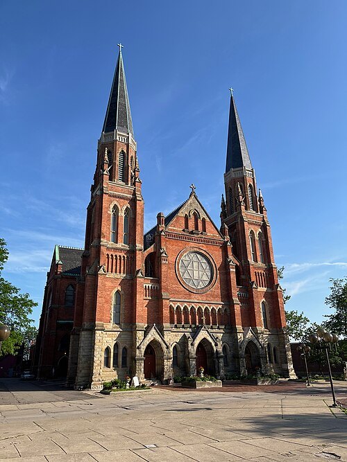 catholic church building
Ste. Anne de Detroit Catholic Church
church building in Detroit, United States of America
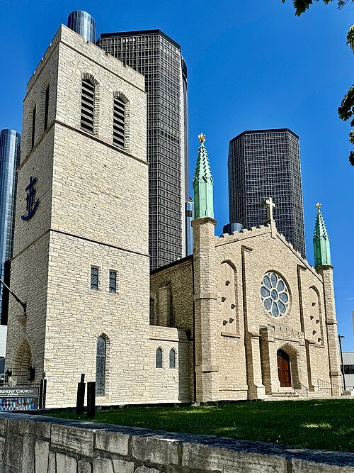 church building
Mariners' Church
Anglican church in Detroit, Michigan, USA
Getting there Nearest stop or station Millender Center, about 1 min on foot OpenStreetMap
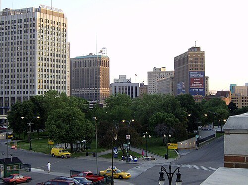
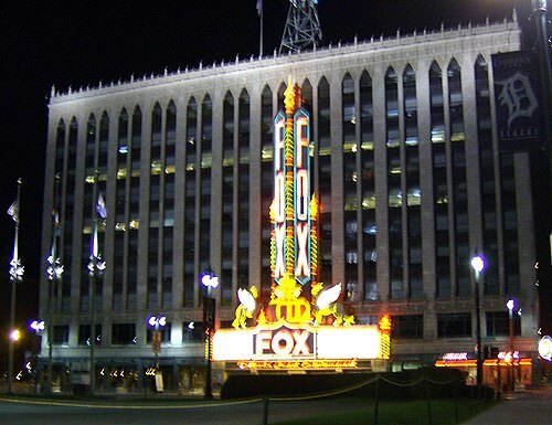 movie theater
Fox Theatre
theater and former movie theater in Detroit, Michigan, United States
Getting there Nearest stop or station Grand Circus Park, about 5 min on foot OpenStreetMap
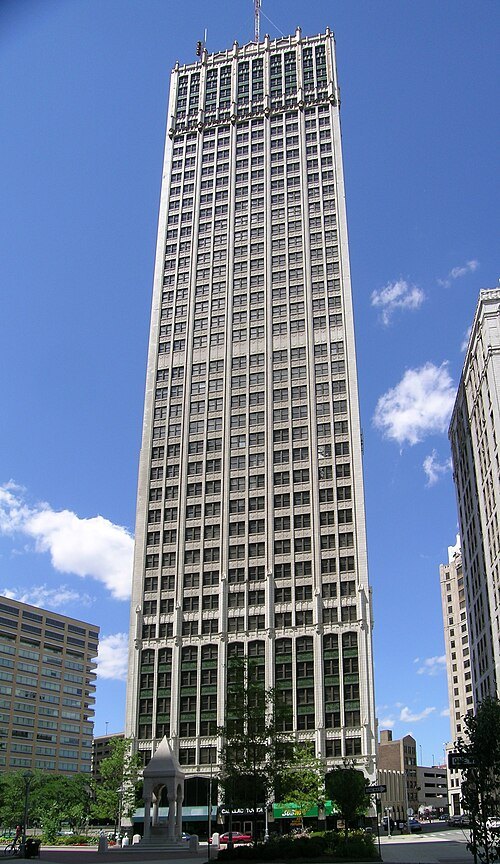 skyscraper
Cadillac Tower
Detroit skyscraper
Getting there Nearest stop or station Cadillac Center, about 3 min on foot OpenStreetMap
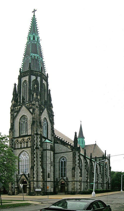 church building
St. Joseph Shrine, Detroit
church building in Detroit, United States of America
Getting there Nearest stop or station Greektown, about 20 min on foot OpenStreetMap
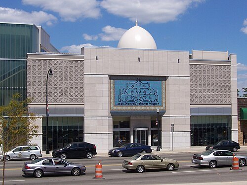
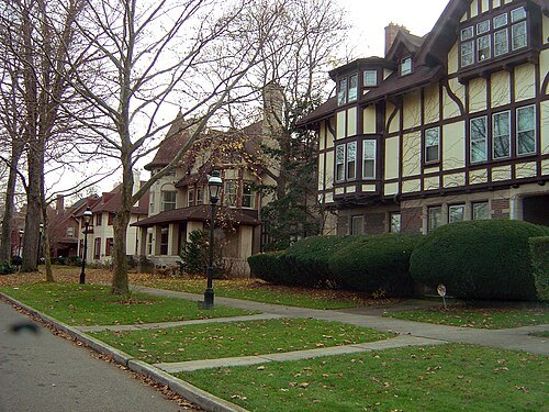
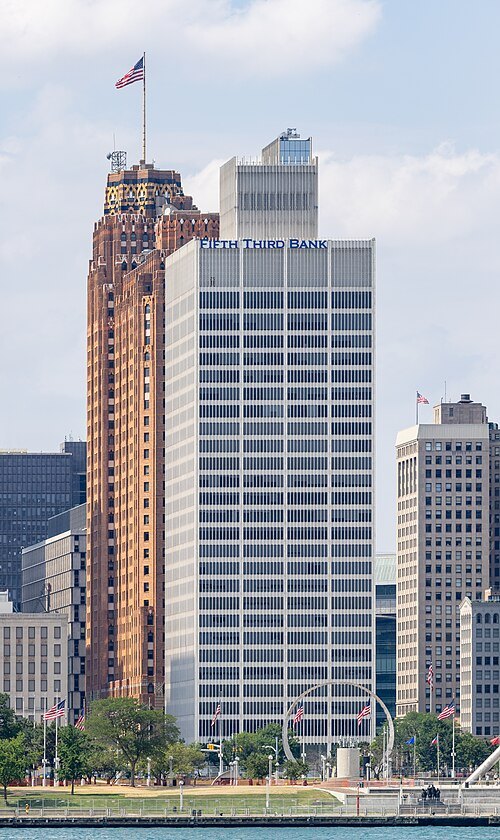
Chris Woodrich / Public domain
skyscraperOne Woodward Avenue
skyscraper in Detroit, Michigan
Getting there Nearest stop or station Financial District, about 1 min on foot OpenStreetMap
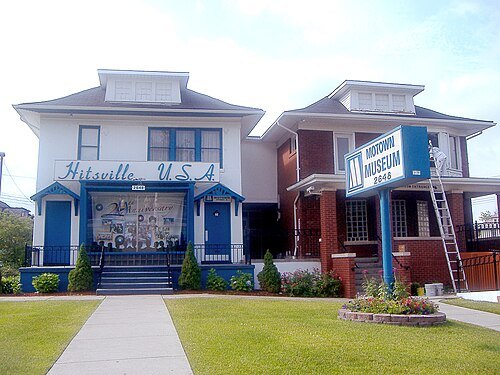 museum
Hitsville U.S.A.
nickname given to Motown's first headquarters, located at 2648 West Grand Boulevard in Detroit, Michigan
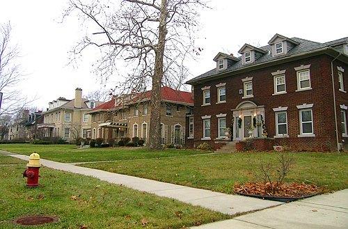
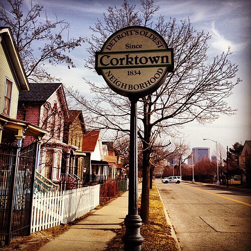 historic district
Corktown Historic District
human settlement in Detroit, Michigan, United States of America
Getting there Nearest stop or station Greyhound Detroit Station, about 8 min on foot OpenStreetMap
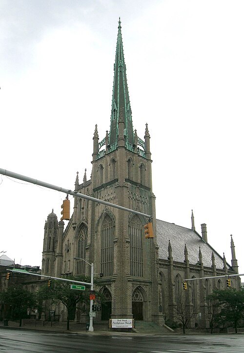 church building
Fort Street Presbyterian Church
Presbyterian church in Detroit, Michigan, USA
Getting there Nearest stop or station Water Square, about 4 min on foot OpenStreetMap
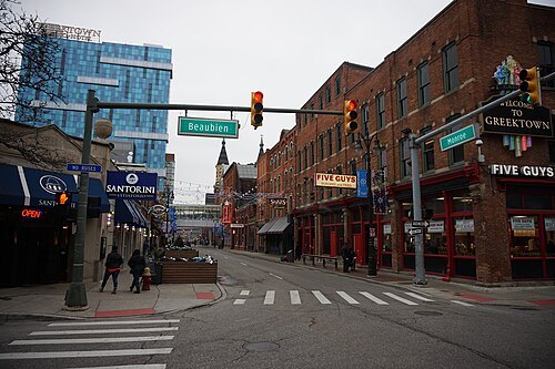
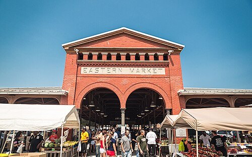 historic district
Eastern Market
historic commercial district in Detroit, Michigan, United States
Getting there Nearest stop or station Broadway, about 19 min on foot OpenStreetMap
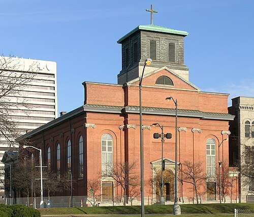 church building
Saints Peter and Paul Church
church building in Detroit, United States of America
Getting there Nearest stop or station Renaissance Center, about 4 min on foot OpenStreetMap
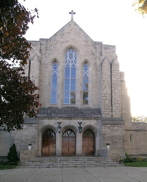 church building
Assumption of the Blessed Virgin Mary Church
Roman Catholic church in Detroit, Michigan, USA
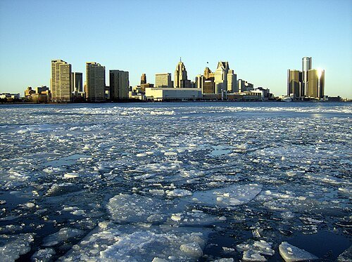
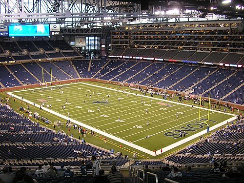 stadium
Ford Field
stadium in Detroit, Michigan
Getting there Nearest stop or station Broadway, about 9 min on foot OpenStreetMap
- street circuit
Detroit street circuit
motorsport track in the United States
Getting there Nearest stop or station Renaissance Center, about 1 min on foot OpenStreetMap
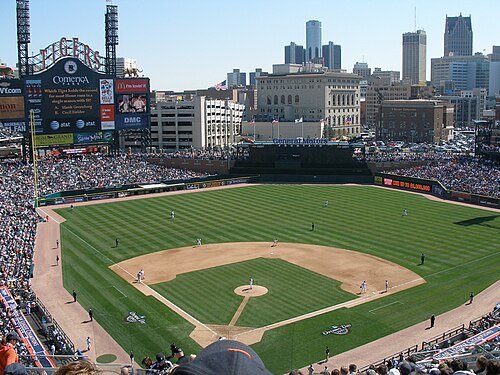
User MJCdetroit on en.wikipedia / CC BY-SA 3.0
stadiumComerica Park
home venue of the Detroit Tigers
Getting there Nearest stop or station Grand Circus Park, about 6 min on foot OpenStreetMap
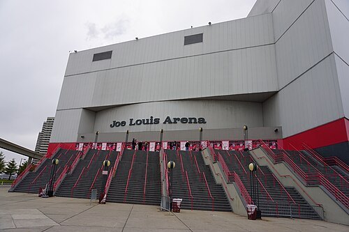 arena
Joe Louis Arena
arena located in Detroit, Michigan
Getting there Nearest stop or station Water Square, about 2 min on foot OpenStreetMap
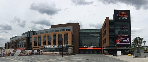 sports venue
Little Caesars Arena
indoor arena in Detroit, Michigan, USA
Getting there Nearest stop or station Grand Circus Park, about 11 min on foot OpenStreetMap
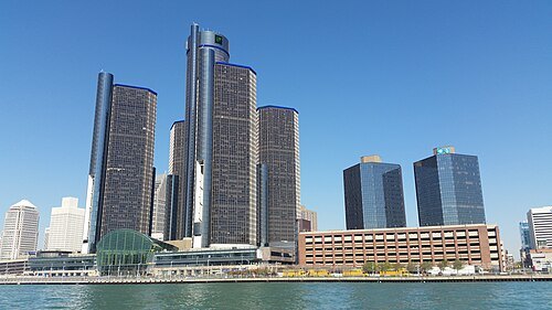
Notorious4life (talk) (Uploads) / CC0
skyscraperRenaissance Center
group of interconnected skyscrapers in Detroit, Michigan, United States of America
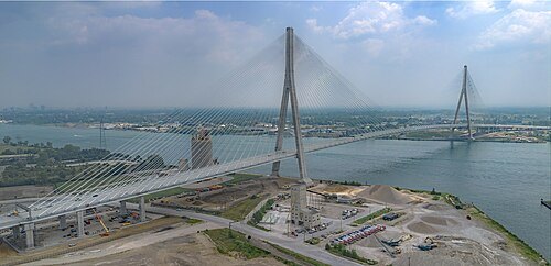
- steel bridge
Ambassador Bridge
privately owned suspension bridge that connects Detroit, Michigan, with Windsor, Ontario
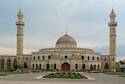
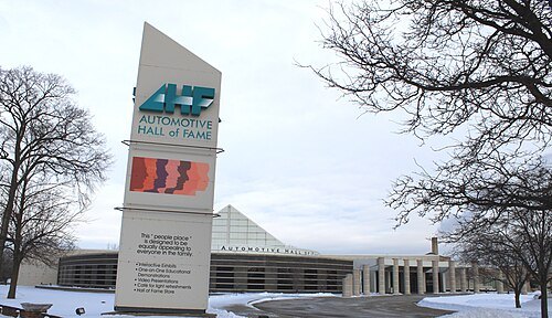 automobile museum
Automotive Hall of Fame
award
Getting there Nearest stop or station Dearborn, about 8 min on foot OpenStreetMap
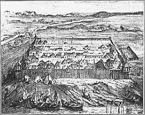
Pierre Descomps / Public domain
fortFort Detroit
fort used 1701–1779 in Michigan
Getting there Nearest stop or station Financial District, about 1 min on foot OpenStreetMap
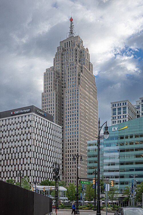 tower block
Penobscot Building
building in Detroit, Michigan (1928)
Getting there Nearest stop or station Financial District, about 3 min on foot OpenStreetMap
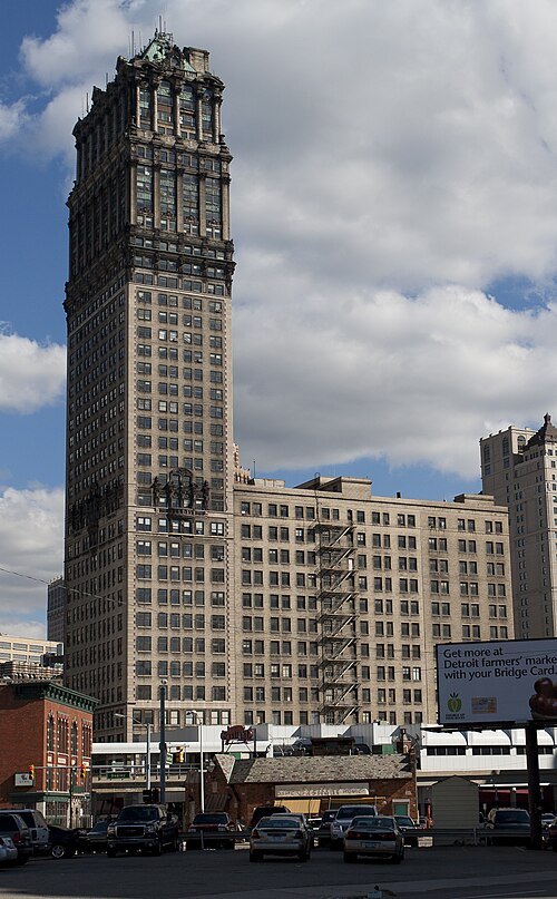 tower block
Book Tower
skyscraper in Detroit, Michigan, United States
Getting there Nearest stop or station Times Square, about 1 min on foot OpenStreetMap
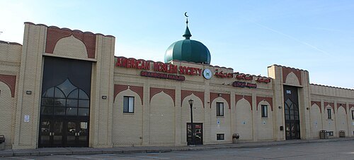
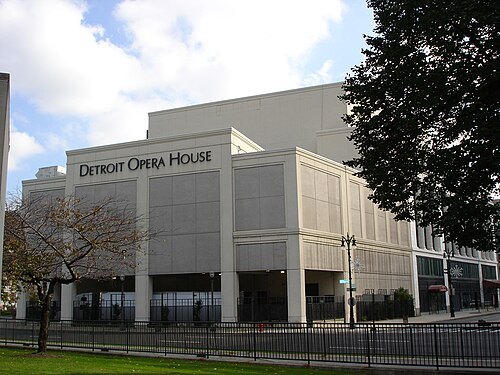 performing arts center
Detroit Opera House
opera house and former movie theater in Detroit, Michigan, United States
Getting there Nearest stop or station Broadway, about 2 min on foot OpenStreetMap
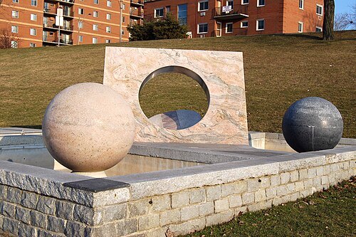
Patricia Drury from Birmingham, United States / CC BY 2.0
sculpture gardenOdette Sculpture Park
sculpture garden
Getting there Nearest stop or station Water Square, about 20 min on foot OpenStreetMap
Einar Einarsson Kvara aka Carptrash / CC BY-SA 3.0
skyscraperDavid Stott Building
skyscraper in Detroit
Getting there Nearest stop or station Cadillac Center, about 4 min on foot OpenStreetMap
 park
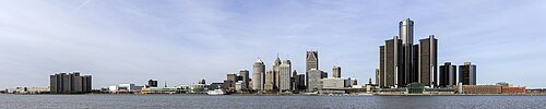
Detroit International Riverfront
area of Detroit, Michigan that borders the Detroit River
Getting there Nearest stop or station Financial District, about 4 min on foot OpenStreetMap
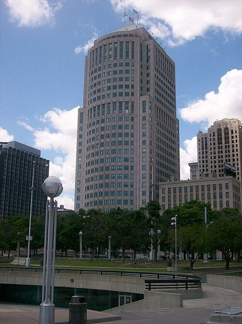
V8americanpower at English Wikipedia / Public domain
tower block150 West Jefferson
skyscraper in Detroit
Getting there Nearest stop or station Financial District, about 3 min on foot OpenStreetMap

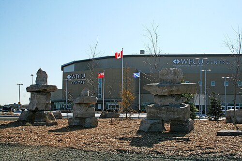 arena
WFCU Centre
sports arena
Getting there Nearest stop or station Transit Windsor Tecumseh Mall HUB, about 12 min on foot OpenStreetMap
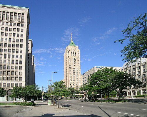 historic district
New Center
human settlement in Detroit, Michigan, United States of America
Getting there Nearest stop or station Detroit, about 6 min on foot OpenStreetMap
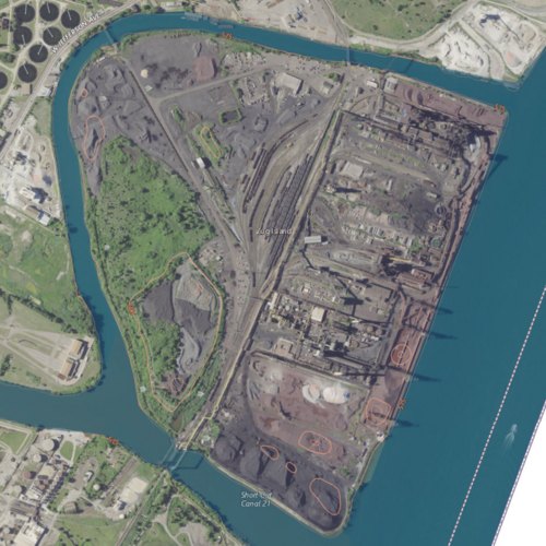
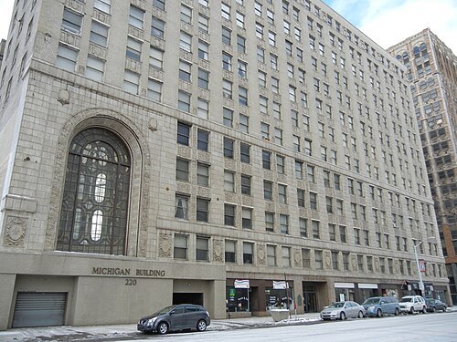 movie theater
Michigan Building
office building and former movie theater in Detroit
Getting there Nearest stop or station Times Square, about 2 min on foot OpenStreetMap
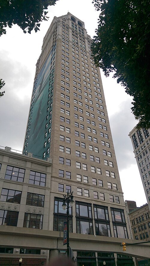 skyscraper
David Broderick Tower
skyscraper in Detroit
Getting there Nearest stop or station Grand Circus Park, about 1 min on foot OpenStreetMap
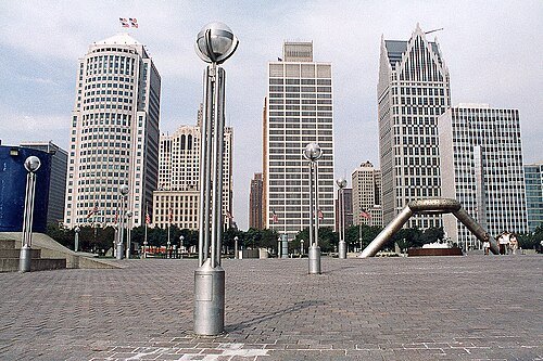
U.S. Army Corps of Engineers, photographer not specified or unknown / Public domain
urban parkPhilip A. Hart Plaza
urban park in Detroit, Michigan
Getting there Nearest stop or station Financial District, about 3 min on foot OpenStreetMap


Places to eat
Nothing here matches that. Clear a filter and try again.
Opening hours and tickets: OpenStreetMap contributors. Each one shows the day a volunteer last wrote it down, so check the official site before you set out.