Victoria: what to see and where to eat
Everything below comes from open data and each row says where it came from. We have not been to any of these places and we do not rank them.
Filters
Things to see
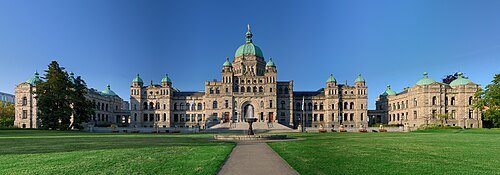
Ryan Bushby (HighInBC) / CC BY 2.5
parliament buildingBritish Columbia Parliament Buildings
Parliament building complex in Victoria, British Columbia, Canada
Getting there Nearest stop or station FRS Clipper, about 3 min on foot OpenStreetMap
- performing arts center
Butchart Gardens
floral display gardens and performing arts organization in Brentwood Bay, British Columbia, Canada
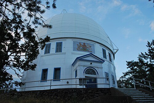
Eminoro & Simon Villeneuve / CC BY-SA 3.0
astronomical observatoryDominion Astrophysical Observatory
observatory in Saanich, British Columbia, Canada
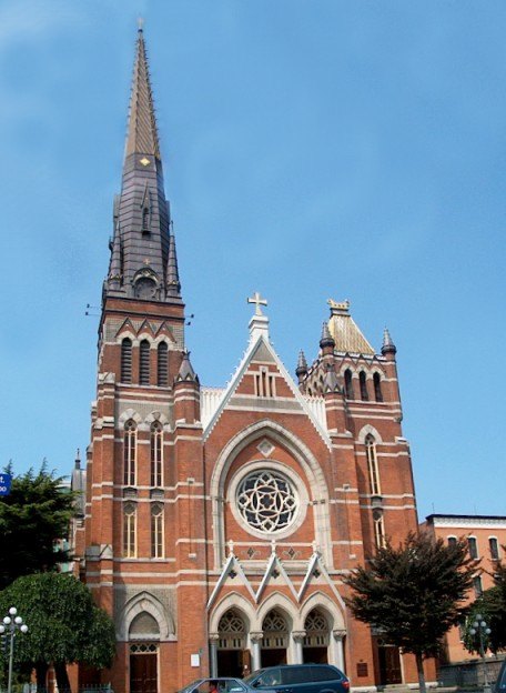
Original uploader was Drhaggis at en.wikipedia / CC BY-SA 3.0
cathedralSt. Andrew's Cathedral
church building in British Columbia, Canada
Getting there Nearest stop or station Capital City Station, about 8 min on foot OpenStreetMap
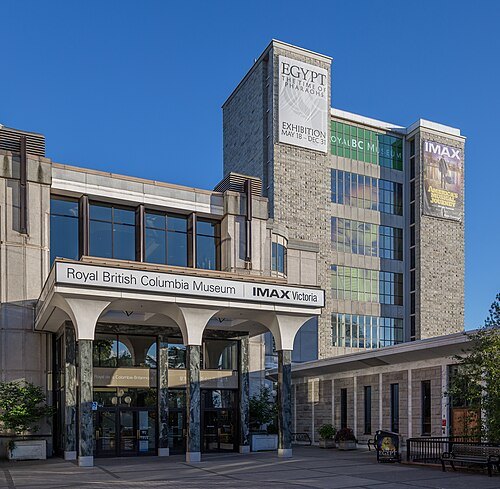 museum
Royal British Columbia Museum
museum in Victoria, British Columbia, Canada
Getting there Nearest stop or station Capital City Station, about 3 min on foot OpenStreetMap
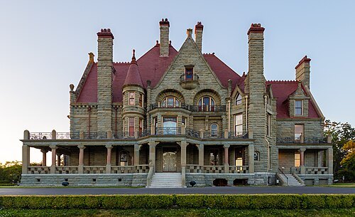 mansion
Craigdarroch Castle
historic house museum (victorian era) in Victoria, British Columbia, Canada
Storeswallah at English Wikipedia / CC BY-SA 3.0
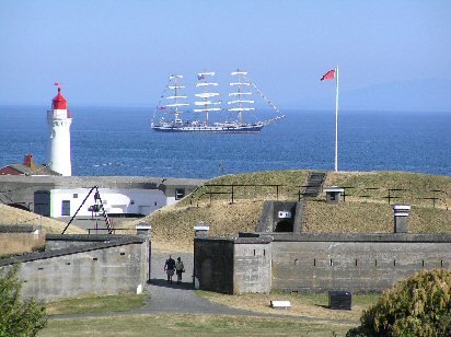
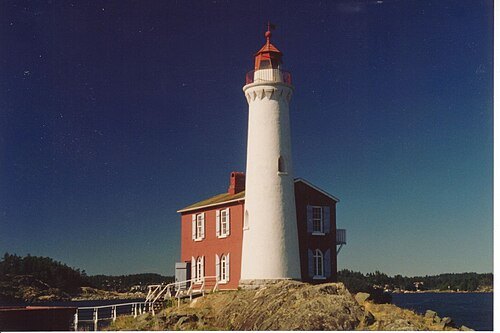
military museumFort Rodd Hill National Historic Site
National historic Site of Canada located in British Columbia
HighInBC Attribute to Ryan Bushby / CC BY-SA 2.5
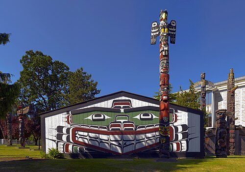
parkThunderbird Park
park in British Columbia, Canada
Getting there Nearest stop or station Capital City Station, about 2 min on foot OpenStreetMap
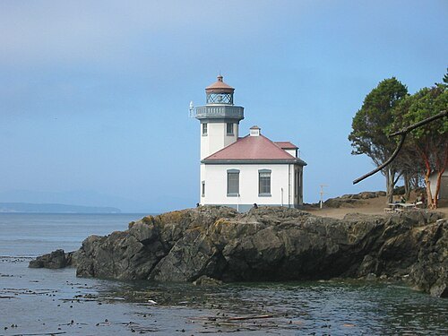
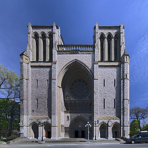 anglican or episcopal cathedral
Christ Church Cathedral
cathedral church in Victoria, British Columbia
Getting there Nearest stop or station Capital City Station, about 8 min on foot OpenStreetMap
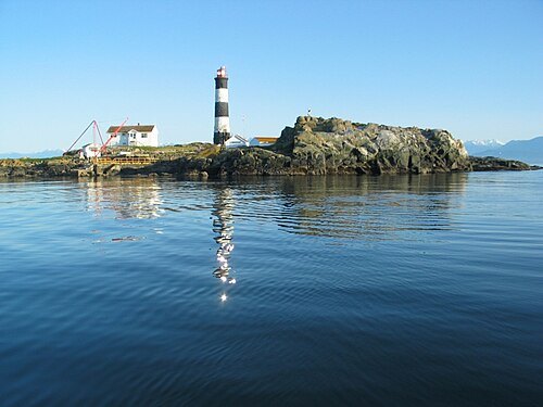
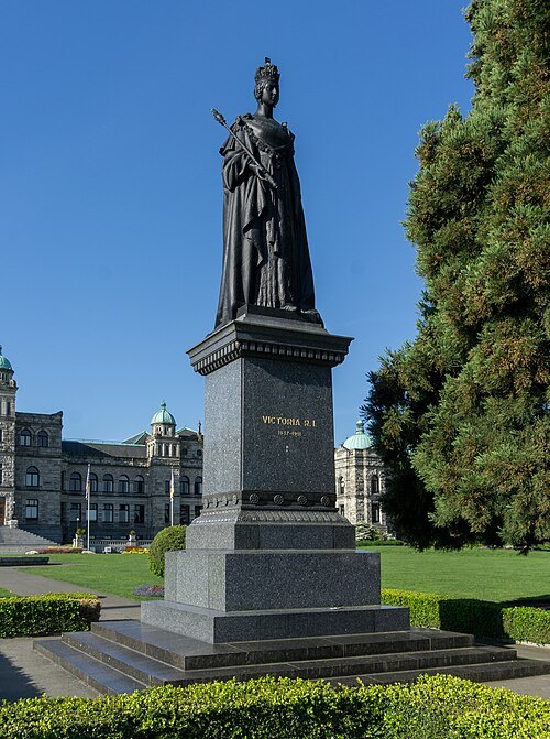 statue
Statue of Queen Victoria
statue in Victoria, British Columbia, Canada
Getting there Nearest stop or station FRS Clipper, about 2 min on foot OpenStreetMap
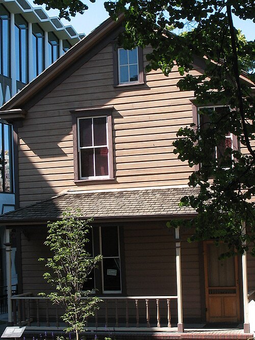
Hans-Jürgen Hübner / Hans-Jürgen Hübner / Public domain
historic house museumHelmcken House
house museum in Victoria, British Columbia
Getting there Nearest stop or station Capital City Station, about 2 min on foot OpenStreetMap
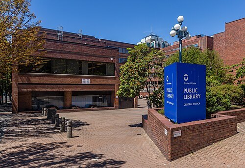 public library
Greater Victoria Public Library
public library system in British Columbia
Getting there Nearest stop or station Capital City Station, about 5 min on foot OpenStreetMap
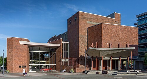 performing arts building
McPherson Playhouse
performing arts building in Victoria, British Columbia, Canada
Getting there Nearest stop or station Swift Street Landing, about 6 min on foot OpenStreetMap
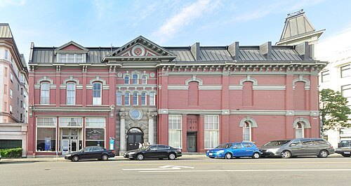
Joe Mabel (on Flickr as Joe Mabel from Seattle, US) / CC BY-SA 3.0
masonic templeMasonic Temple
Masonic Temple in Victoria, British Columbia, Canada
Getting there Nearest stop or station Swift Street Landing, about 8 min on foot OpenStreetMap
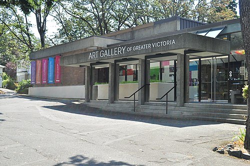
Joe Mabel (on Flickr as Joe Mabel from Seattle, US) / CC BY-SA 3.0
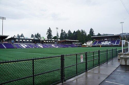
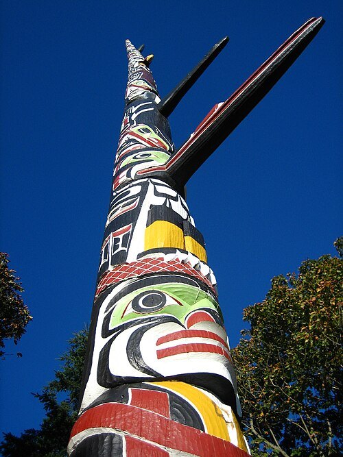 park
Beacon Hill Park
park in British Columbia, Canada
Getting there Nearest stop or station Capital City Station, about 16 min on foot OpenStreetMap
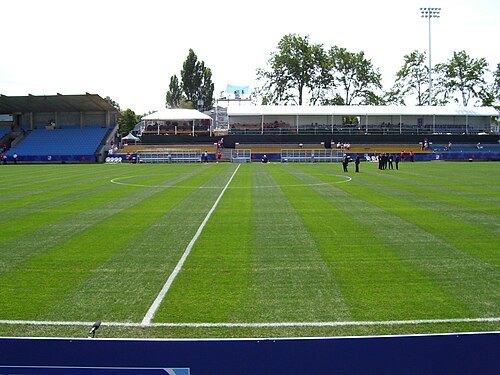
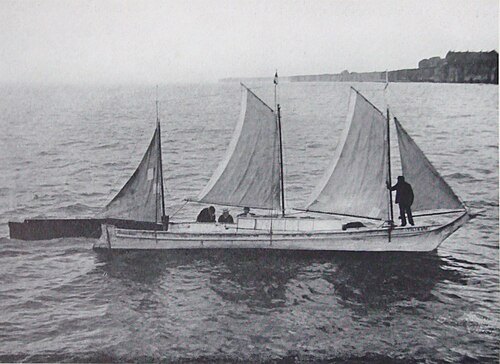
Unknown authorUnknown author / Public domain
preserved watercraftTilikum
dugout canoe
Getting there Nearest stop or station Old Town, about 3 min on foot OpenStreetMap
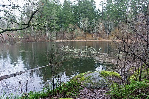
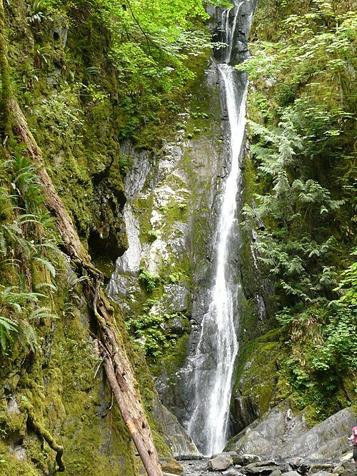 provincial park of canada
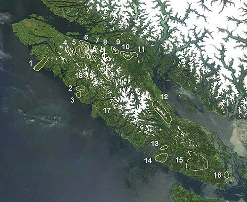
Goldstream Provincial Park
provincial park on Vancouver Island in British Columbia, Canada
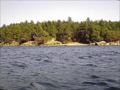
User: (WT-shared) Ebklassen at wts wikivoyage / Public domain
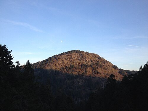
 provincial park of canada
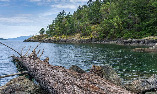
Gowlland Tod Provincial Park
provincial park on Vancouver Island in British Columbia, Canada
- bay
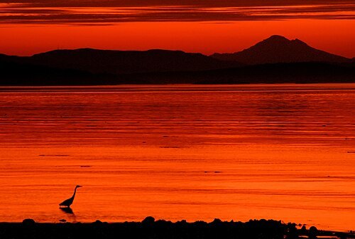
Fleming Bay
bay in Capital Regional District, British Columbia, Canada
Getting there Nearest stop or station West Bay/Esquimalt, about 20 min on foot OpenStreetMap
- provincial park of canada
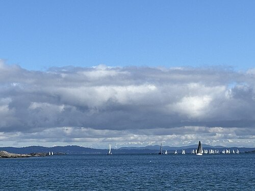
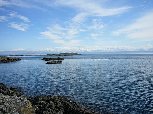
Discovery Island Marine Provincial Park
provincial park on Discovery Island in British Columbia, Canada
H at English Wikipedia / Public domain
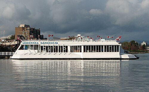
public aquariumPacific Undersea Gardens
aquarium in Victoria, British Columbia, Canada
Getting there Nearest stop or station FRS Clipper, about 1 min on foot OpenStreetMap
- art gallery
Alcheringa Gallery
Canadian gallery of contemporary aboriginal art
Getting there Nearest stop or station Empress Dock, about 5 min on foot OpenStreetMap
 art museum
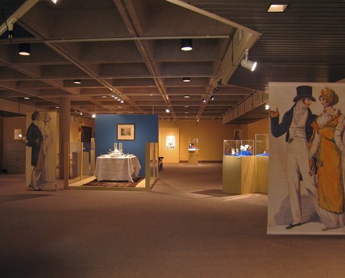
University of Victoria Legacy Art Galleries
At Legacy Art Galleries art activates research and learning through university and community collaborations. Their exhibitions and programs promote dialogue around issues that matter.
Getting there Nearest stop or station Old Town, about 6 min on foot OpenStreetMap
- square
Bastion Square
square in Victoria, British Columbia
Getting there Nearest stop or station Old Town, about 3 min on foot OpenStreetMap
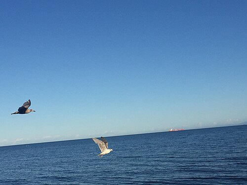 migratory bird sanctuary of canada
Esquimalt Lagoon Migratory Bird Sanctuary
migratory bird sanctuary in British Columbia
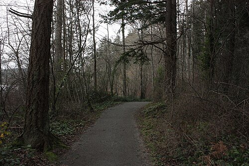
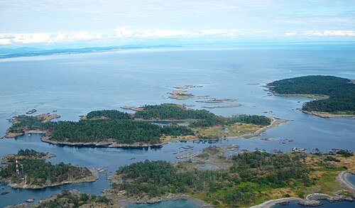
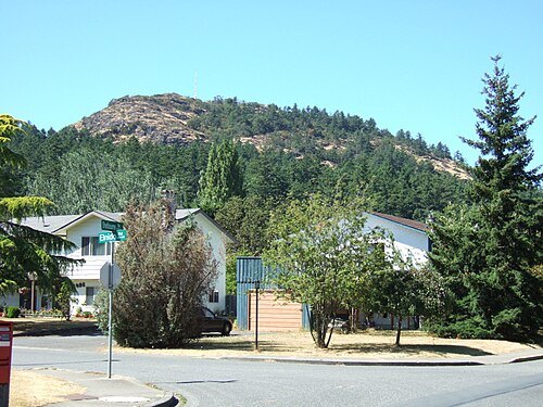
- square
Centennial Square
square in Victoria, British Columbia, Canada
Getting there Nearest stop or station Swift Street Landing, about 7 min on foot OpenStreetMap


Places to eat
Nothing here matches that. Clear a filter and try again.
Opening hours and tickets: OpenStreetMap contributors. Each one shows the day a volunteer last wrote it down, so check the official site before you set out.