Vancouver: what to see and where to eat
Everything below comes from open data and each row says where it came from. We have not been to any of these places and we do not rank them.
Filters
Things to see
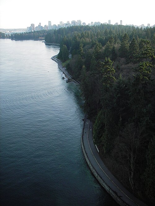
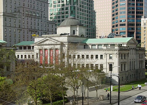 art museum
Vancouver Art Gallery
art museum in Vancouver, British Columbia, Canada
Getting there Nearest stop or station Vancouver City Centre, about 2 min on foot OpenStreetMap
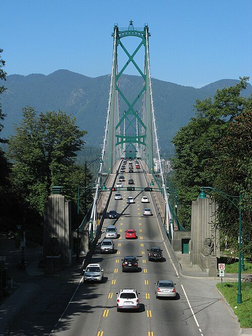 road bridge
Lions Gate Bridge
suspension bridge in Vancouver, Canada
Getting there Nearest stop or station Park Royal, about 20 min on foot OpenStreetMap
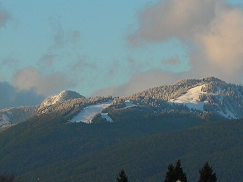
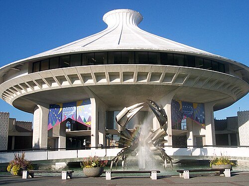
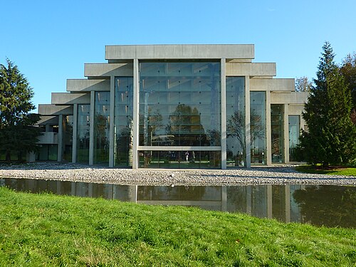 museum
Museum of Anthropology at UBC
museum of Anthropology in Vancouver, British Columbia, Canada
Getting there Nearest stop or station UBC Exchange, about 14 min on foot OpenStreetMap
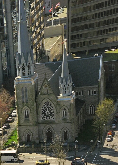
No machine-readable author provided. Bobanny assumed (based on copyright claims). / Public domain
cathedralCathedral of Our Lady of the Rosary, Vancouver
Catholic cathedral in Vancouver, British Columbia, Canada
Getting there Nearest stop or station Granville, about 3 min on foot OpenStreetMap
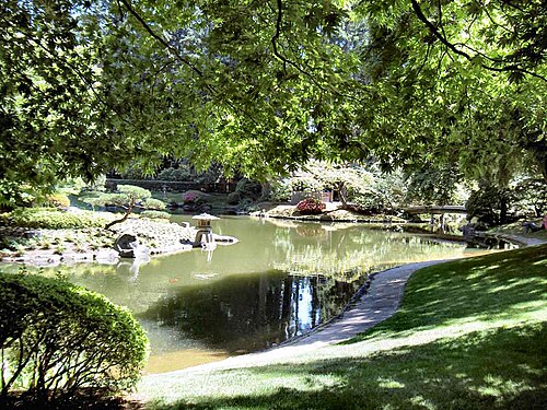 japanese garden outside japan
Nitobe Memorial Garden
traditional Japanese garden located at the University of British Columbia
Getting there Nearest stop or station UBC Exchange, about 14 min on foot OpenStreetMap
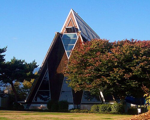
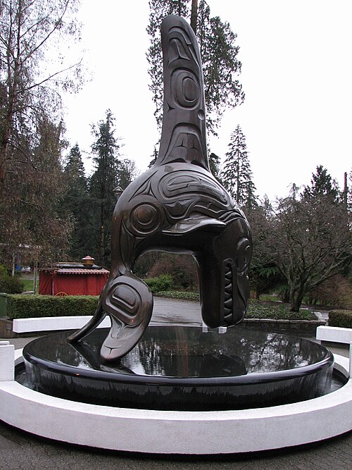
Emancipator at en.wikipedia / CC BY-SA 3.0
public aquariumVancouver Aquarium
public aquarium in Vancouver, British Columbia, Canada
Getting there Nearest stop or station Stanley Park Loop, about 3 min on foot OpenStreetMap
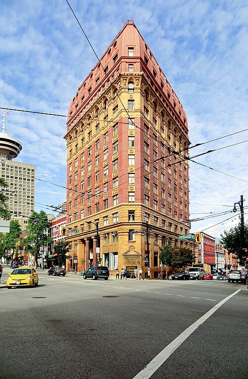 skyscraper
Dominion Building
Historic commercial building in Vancouver, British Columbia, Canada
Getting there Nearest stop or station Waterfront, about 6 min on foot OpenStreetMap
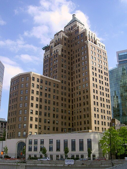
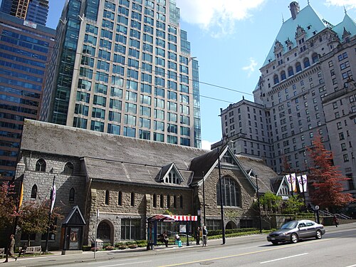 anglican or episcopal cathedral
Christ Church Cathedral
cathedral church in Vancouver, British Columbia
Getting there Nearest stop or station Burrard, about 3 min on foot OpenStreetMap
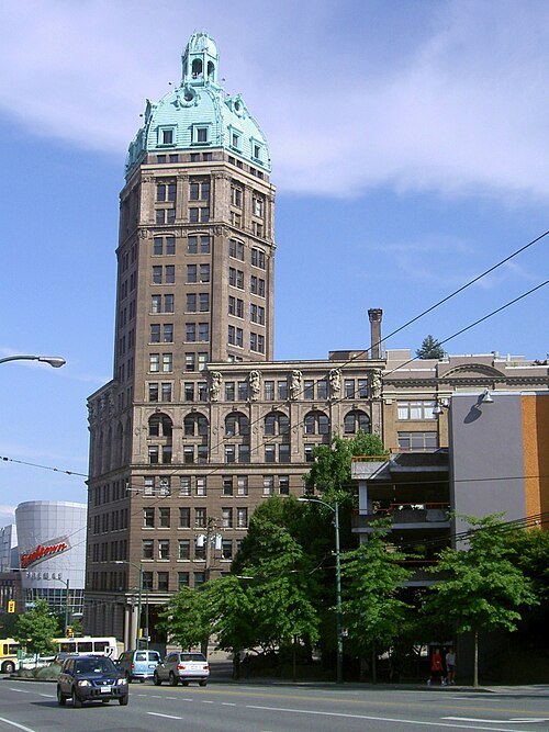 skyscraper
Sun Tower
historic commercial and office building in Vancouver, British Columbia, Canada
Getting there Nearest stop or station Stadium–Chinatown, about 3 min on foot OpenStreetMap
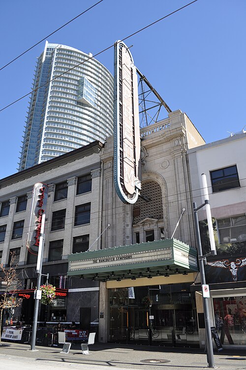 performing arts building
Orpheum
performing arts building and former movie theatre in Vancouver, Canada
Getting there Nearest stop or station Vancouver City Centre, about 4 min on foot OpenStreetMap
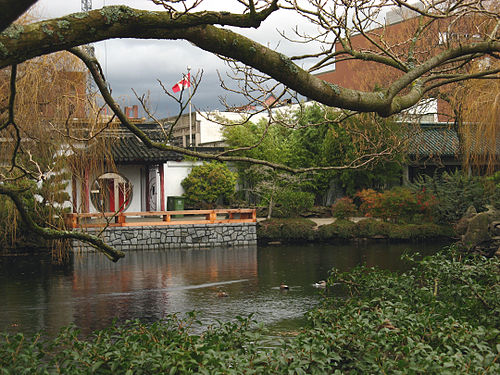
No machine-readable author provided. Bobanny assumed (based on copyright claims). / Public domain
botanical gardenDr. Sun Yat-Sen Classical Chinese Garden
classical Chinese garden located in Vancouver, British Columbia, Canada; adjacent to Dr. Sun Yat-Sen Park
Getting there Nearest stop or station Stadium–Chinatown, about 6 min on foot OpenStreetMap
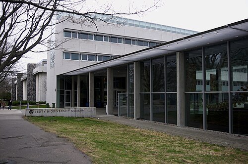 museum
Beaty Biodiversity Museum
natural History Museum in British Columbia, Canada
Getting there Nearest stop or station UBC Exchange, about 9 min on foot OpenStreetMap
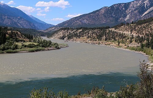
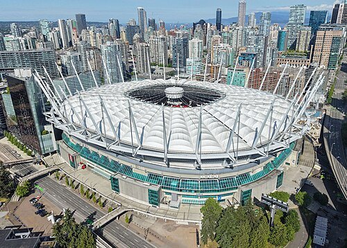 stadium
BC Place
stadium at Vancouver, British Columbia, Canada
Getting there Nearest stop or station Stadium–Chinatown, about 6 min on foot OpenStreetMap
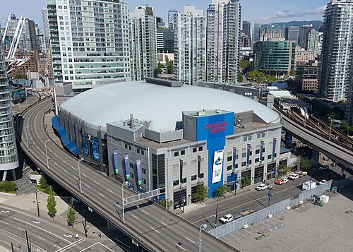 arena
Rogers Arena
sports arena in Vancouver, British Columbia, Canada
Getting there Nearest stop or station Stadium–Chinatown, about 3 min on foot OpenStreetMap
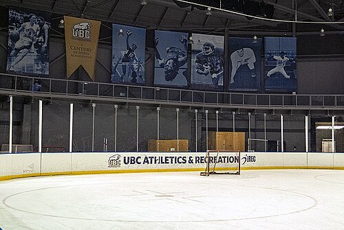 sports venue
Doug Mitchell Thunderbird Sports Centre
indoor sports arena at the University of British Columbia
Getting there Nearest stop or station UBC Exchange, about 13 min on foot OpenStreetMap
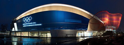
popejon2 from Paddington, Australia / CC BY 2.0
stadiumRichmond Olympic Oval
sports arena in British Columbia, Canada
Getting there Nearest stop or station Lansdowne, about 17 min on foot OpenStreetMap
- ski resort
Cypress Mountain Ski Area
ski resort in West Vancouver, British Columbia, Canada
Getting there Nearest stop or station Easy Rider Quad, about 1 min on foot OpenStreetMap
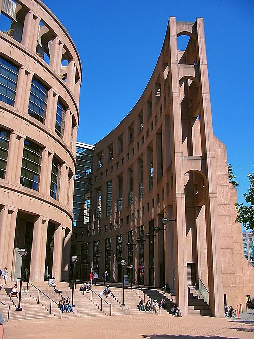 public library
Vancouver Public Library
public library system in British Columbia
Getting there Nearest stop or station Vancouver City Centre, about 5 min on foot OpenStreetMap
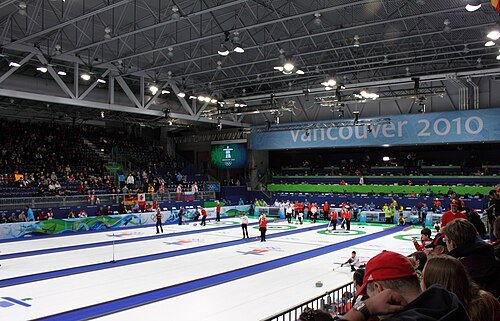 sports venue
Vancouver Olympic/Paralympic Centre
athletic center in Vancouver, British Columbia, Canada
Getting there Nearest stop or station King Edward, about 12 min on foot OpenStreetMap
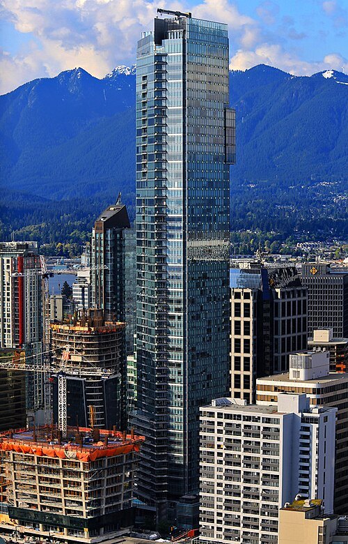 skyscraper
Living Shangri-La
skyscraper in Downtown Vancouver, British Columbia, Canada
Getting there Nearest stop or station Burrard, about 4 min on foot OpenStreetMap
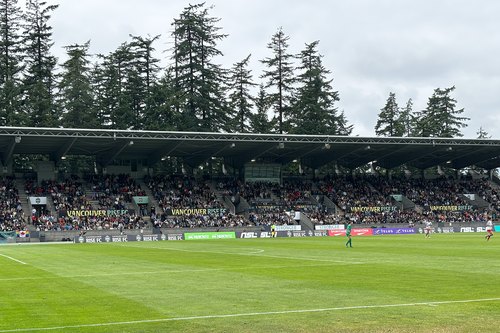 association football venue
Swangard Stadium
football stadium
Getting there Nearest stop or station Patterson, about 9 min on foot OpenStreetMap
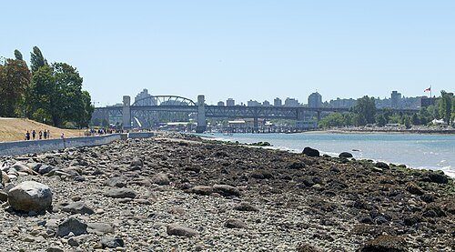
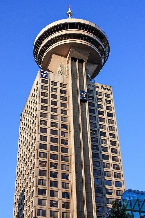 skyscraper
Harbour Centre
Mixed-use skyscraper in Vancouver, British Columbia, Canada
Getting there Nearest stop or station Waterfront, about 2 min on foot OpenStreetMap
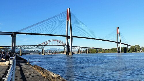 railway bridge
SkyBridge
cable-stayed bridge in Metro Vancouver, Canada
Getting there Nearest stop or station Columbia, about 10 min on foot OpenStreetMap
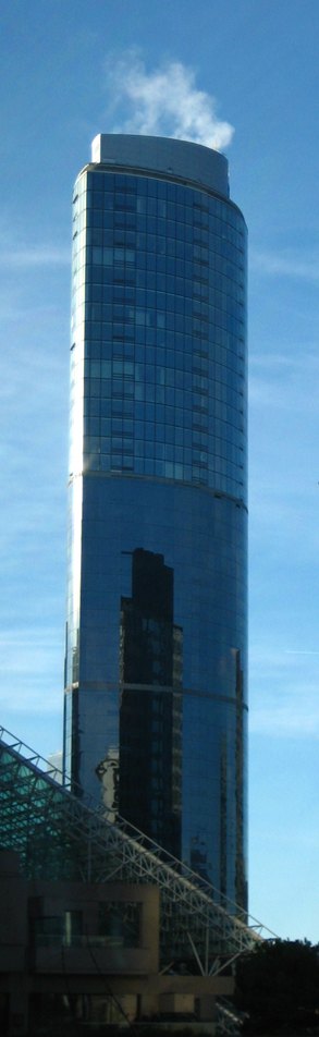 skyscraper
One Wall Centre
Skyscraper hotel in Vancouver, British Columbia
Getting there Nearest stop or station Vancouver City Centre, about 9 min on foot OpenStreetMap
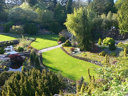
Craig Nagy from Vancouver, Canada / CC BY-SA 2.0
urban parkQueen Elizabeth Park
city park in Vancouver, British Columbia, Canada
Getting there Nearest stop or station King Edward, about 12 min on foot OpenStreetMap
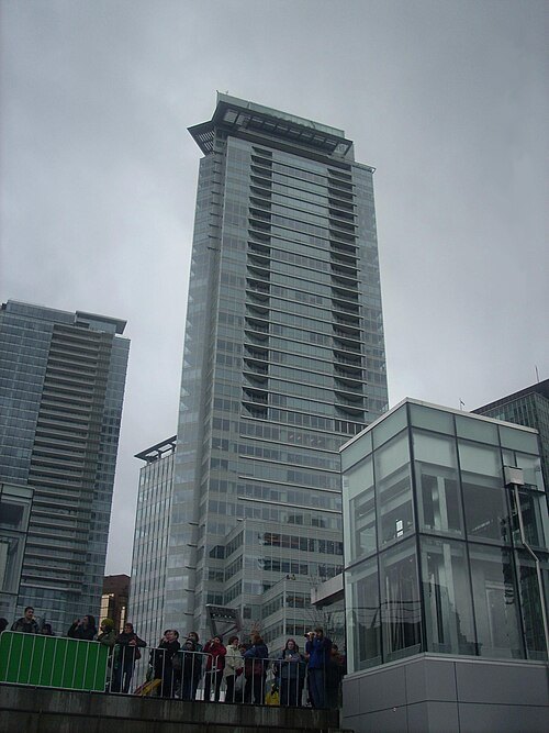 skyscraper
Rogers Tower
Mixed-use skyscraper in Vancouver, British Columbia
Getting there Nearest stop or station Hullo - Vancouver, about 4 min on foot OpenStreetMap
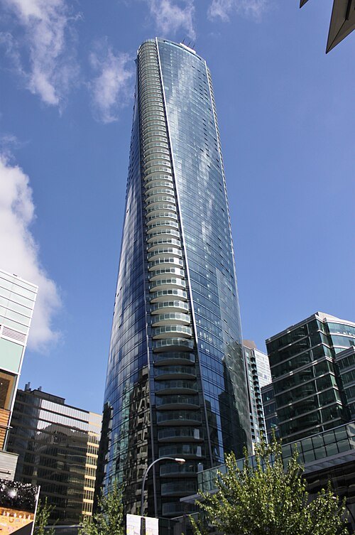 skyscraper
Paradox Vancouver
hotel skyscraper in Downtown Vancouver, British Columbia, Canada
Getting there Nearest stop or station Burrard, about 4 min on foot OpenStreetMap
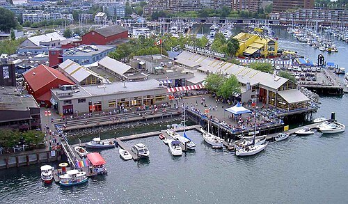 peninsula
Granville Island
peninsula (formerly an island) in Vancouver, British Columbia, Canada
Getting there Nearest stop or station Yaletown–Roundhouse, about 16 min on foot OpenStreetMap
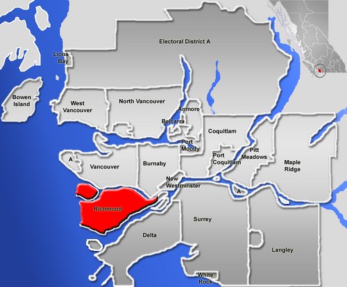
No machine-readable author provided. Qyd assumed (based on copyright claims). / Public domain
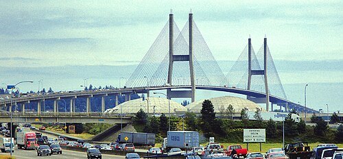
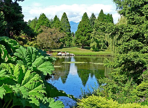
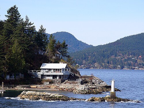
- river
Capilano River
watercourse in British Columbia, Canada
Getting there Nearest stop or station Park Royal, about 19 min on foot OpenStreetMap
- river island
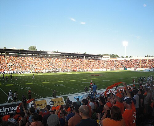
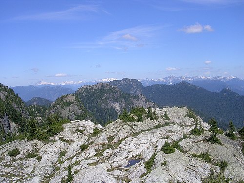
Sea Island
island in British Columbia
Getting there Nearest stop or station YVR–Airport, about 7 min on foot OpenStreetMap
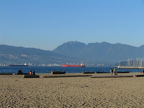
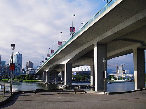 road bridge
Cambie Bridge
bridge spanning False Creek in Vancouver, British Columbia
Getting there Nearest stop or station Yaletown–Roundhouse, about 9 min on foot OpenStreetMap
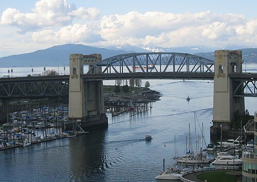 through arch bridge
Burrard Bridge
bridge across False Creek in Vancouver, British Columbia
Getting there Nearest stop or station Yaletown–Roundhouse, about 17 min on foot OpenStreetMap
- peninsula
Point Grey
peninsula in British Columbia, Canada
Getting there Nearest stop or station UBC Exchange, about 17 min on foot OpenStreetMap
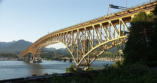 cantilever bridge
Ironworkers Memorial Second Narrows Crossing
bridge across the Burrard Inlet at Vancouver, British Columbia
Getting there Nearest stop or station Phibbs Exchange, about 17 min on foot OpenStreetMap
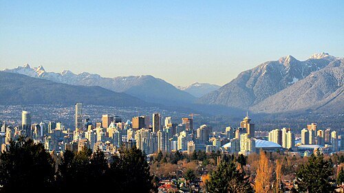
Kyle Pearce/ DIY Genius / CC BY-SA 2.0
mountain rangeNorth Shore Mountains
mountain sub-range of the Coast Mountains of the Pacific Coast Ranges of North America
Getting there Nearest stop or station Sky Quad, about 17 min on foot OpenStreetMap
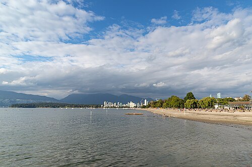
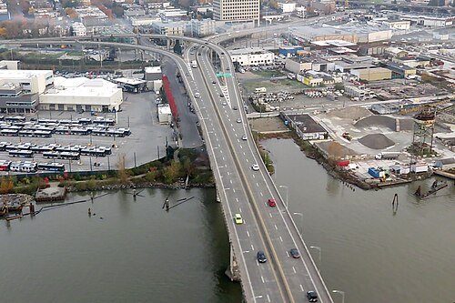
Robert Linsdell from St. Andrews, Canada / CC BY 2.0
road bridgeArthur Laing Bridge
bridge carrying Grant McConachie Way over the North Arm of the Fraser River between Vancouver and Richmond
Getting there Nearest stop or station Marpole Loop, about 7 min on foot OpenStreetMap
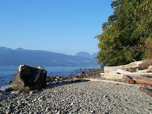
Bartbraun (talk) (Uploads) / CC BY-SA 3.0
beachWreck Beach
beach in British Columbia, Canada
Getting there Nearest stop or station UBC Exchange, about 19 min on foot OpenStreetMap
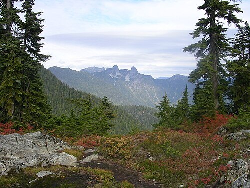 provincial park of canada
Cypress Provincial Park
provincial park in Greater Vancouver, British Columbia, Canada
Getting there Nearest stop or station Eagle Express Quad, about 1 min on foot OpenStreetMap


Places to eat
Nothing here matches that. Clear a filter and try again.
Opening hours and tickets: OpenStreetMap contributors. Each one shows the day a volunteer last wrote it down, so check the official site before you set out.