Toronto: what to see and where to eat
Everything below comes from open data and each row says where it came from. We have not been to any of these places and we do not rank them.
Filters
Things to see
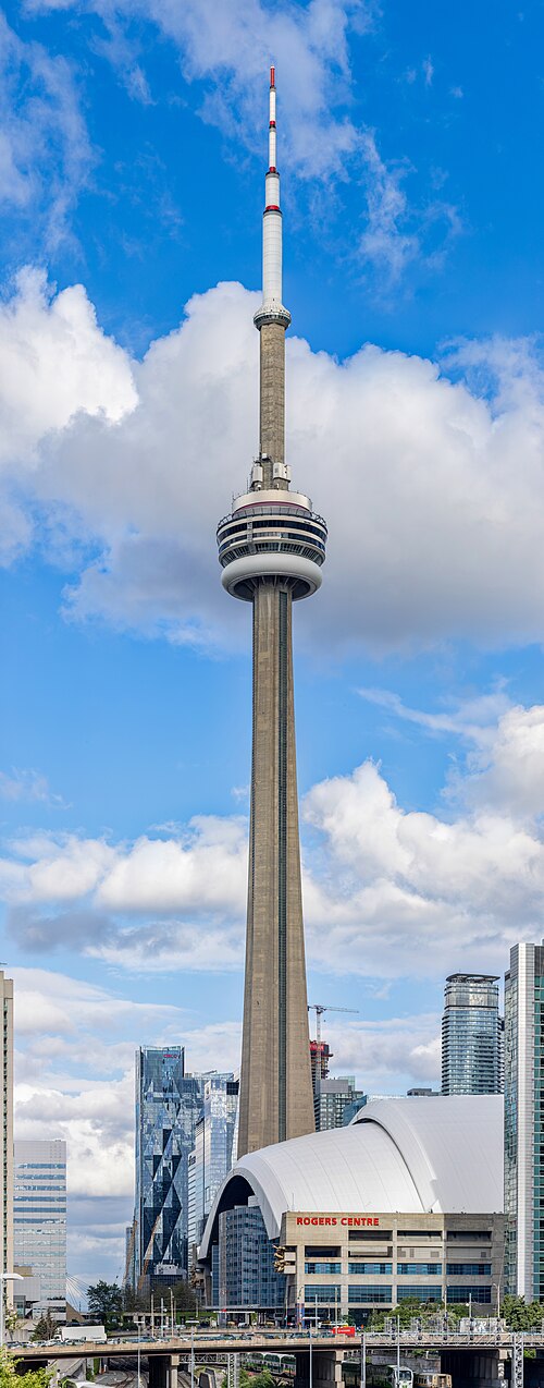 architectural landmark
CN Tower
communications and observation tower in Toronto, Canada
Getting there Nearest stop or station Toronto Union Station, about 9 min on foot OpenStreetMap
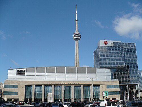
Secondarywaltz / Public domain
arenaScotiabank Arena
indoor arena in Toronto, Canada
Getting there Nearest stop or station Union Station Bus Terminal, about 2 min on foot OpenStreetMap
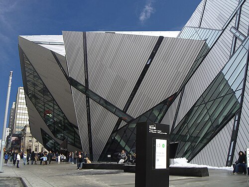 natural history museum
Royal Ontario Museum
museum of world culture and natural history in Toronto, Ontario, Canada
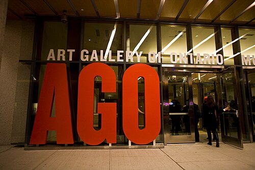
Owen Byrne from Ottawa, Canada / CC BY 2.0
event venueArt Gallery of Ontario
art museum in Toronto, Ontario, Canada
Getting there Nearest stop or station St. Patrick, about 6 min on foot OpenStreetMap
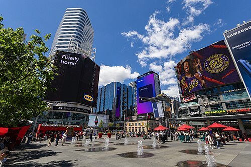 square
Yonge Dundas Square
public square in Toronto
Getting there Nearest stop or station TMU, about 1 min on foot OpenStreetMap
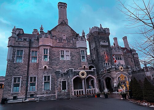 historic house museum
Casa Loma
mansion in Toronto, Canada.
Getting there Nearest stop or station Dupont, about 7 min on foot OpenStreetMap
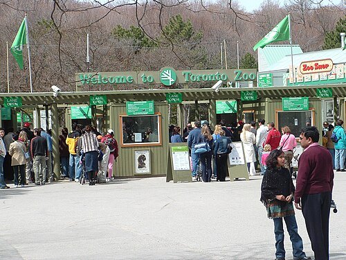
Maelwys at English Wikipedia / Public domain
zooToronto Zoo
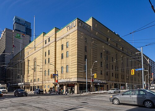 historic building
Maple Leaf Gardens
former hockey arena in Toronto, later re-built into grocery store and athletic centre
Getting there Nearest stop or station College, about 4 min on foot OpenStreetMap
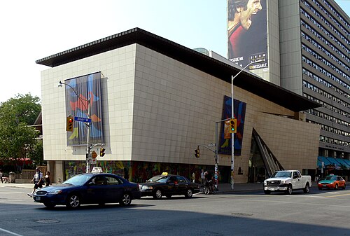 museum
Bata Shoe Museum
footwear museum in Toronto, Ontario, Canada
Getting there Nearest stop or station St. George, about 3 min on foot OpenStreetMap
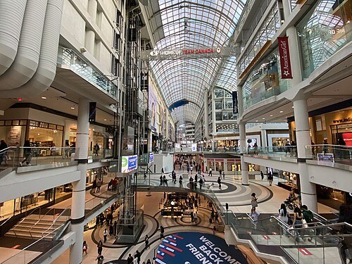 skyscraper
Toronto Eaton Centre
Shopping mall and office complex in Toronto, Ontario, Canada
Getting there Nearest stop or station Queen, about 2 min on foot OpenStreetMap
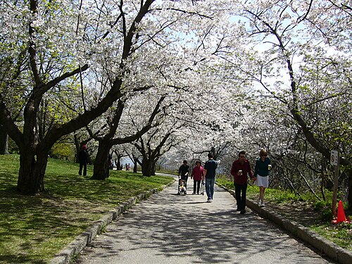
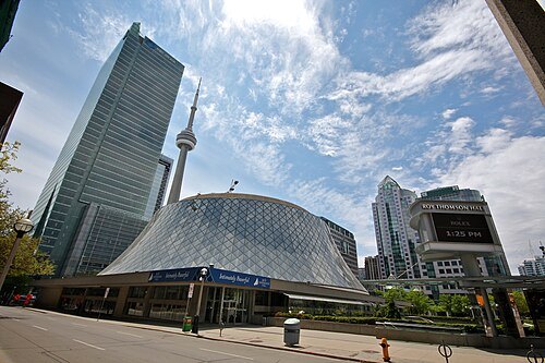 concert hall
Roy Thomson Hall
concert hall in Toronto, Canada
Getting there Nearest stop or station St. Andrew, about 3 min on foot OpenStreetMap
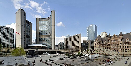 square
Nathan Phillips Square
plaza in front of Toronto, Ontario's City Hall named in honour of the above
Getting there Nearest stop or station Osgoode, about 4 min on foot OpenStreetMap
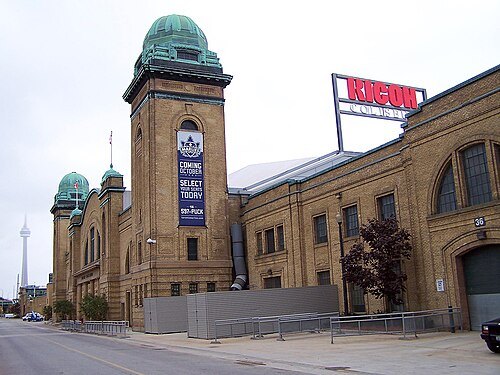
Diego Torres Silvestre / CC BY 2.0
arenaCoca-Cola Coliseum
an arena at Exhibition Place in Toronto, Ontario, Canada
Getting there Nearest stop or station Exhibition, about 5 min on foot OpenStreetMap
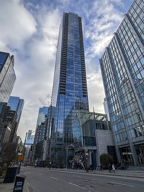 skyscraper
Shangri-La Toronto
high-rise building in Toronto
Getting there Nearest stop or station St. Andrew, about 3 min on foot OpenStreetMap
- public library
Toronto Public Library
public library system in Toronto, Canada
Getting there Nearest stop or station Bloor-Yonge, about 2 min on foot OpenStreetMap
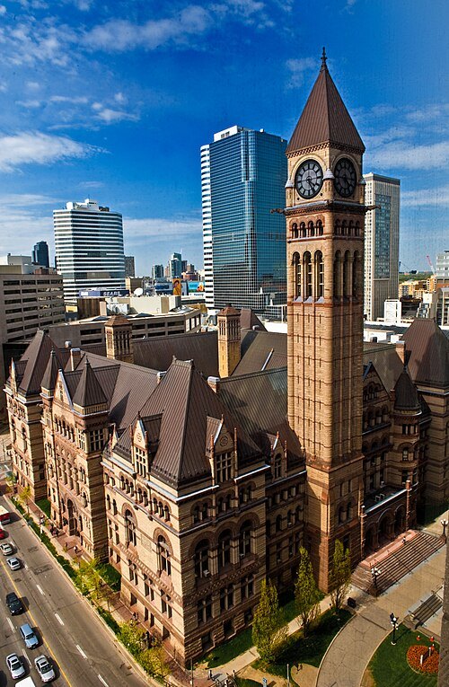
Richard Kang from Canada / CC BY 2.0
city hallOld City Hall
building in Toronto
Getting there Nearest stop or station Queen, about 3 min on foot OpenStreetMap
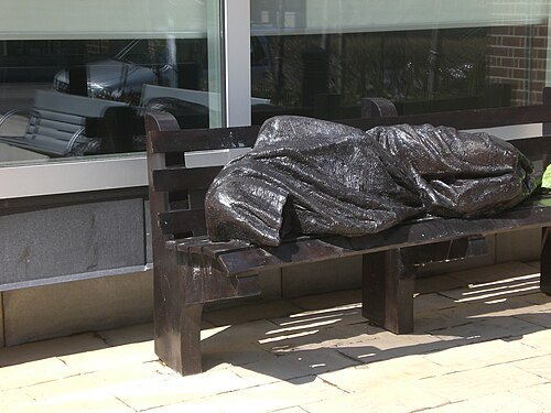 statue
Jesus the Homeless
sculpture depicting Jesus as a homeless person
Getting there Nearest stop or station Museum, about 6 min on foot OpenStreetMap
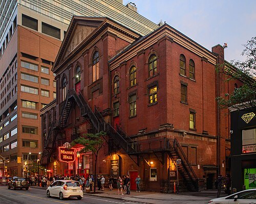 performing arts building
Massey Hall
concert hall in Toronto, Canada
Getting there Nearest stop or station Queen, about 2 min on foot OpenStreetMap
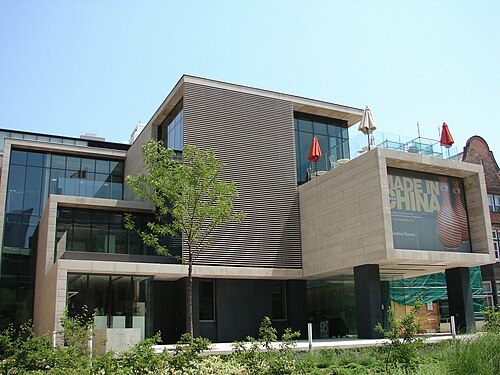
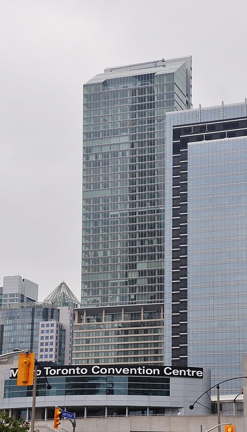 skyscraper
Ritz-Carlton Toronto
skyscraper in Toronto, Canada
Getting there Nearest stop or station St. Andrew, about 6 min on foot OpenStreetMap
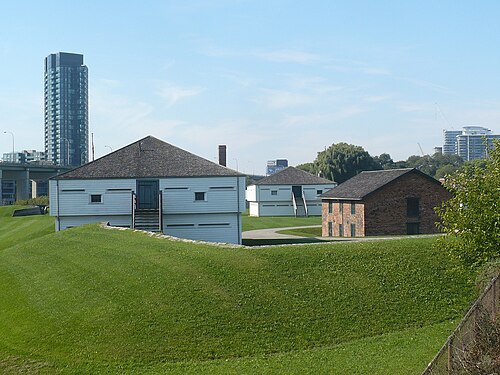 fort
Fort York
historic site in Toronto, Canada
Getting there Nearest stop or station Bathurst Street Terminal, about 11 min on foot OpenStreetMap
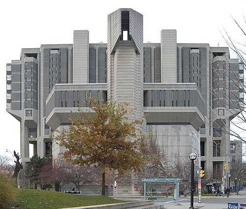 library building
John P. Robarts Library
central library of the University of Toronto specialized in the humanities and social sciences
Getting there Nearest stop or station St. George, about 7 min on foot OpenStreetMap
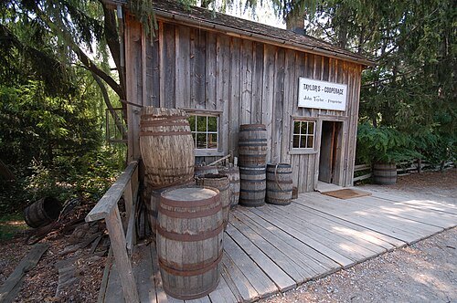
John Griffiths from London, United Kingdom / CC BY-SA 2.0
open-air museumBlack Creek Pioneer Village
open-air historical village museum in Toronto, Ontario, Canada
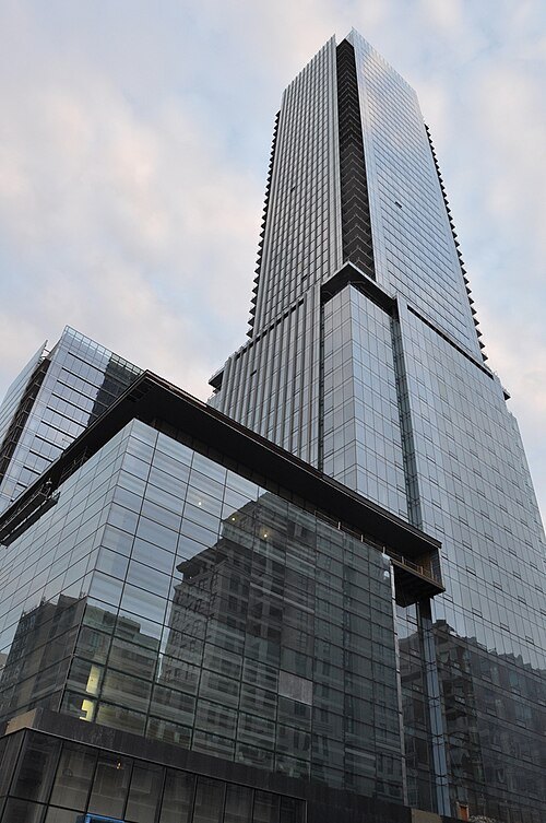 skyscraper
Four Seasons Hotel and Residences Toronto
skyscraper in Toronto, Canada
Getting there Nearest stop or station Museum, about 5 min on foot OpenStreetMap
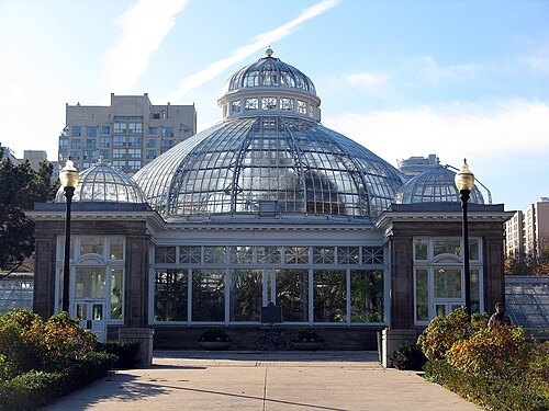
Diego Silvestre from Sao Paulo, Brazil / CC BY 2.0
botanical gardenAllan Gardens
public park and conservatory in Toronto, Ontario, Canada
Getting there Nearest stop or station College, about 11 min on foot OpenStreetMap

Pablopicassotoronto / CC BY-SA 4.0
stadiumBMO Field
multisports venue in Toronto, Ontario
Getting there Nearest stop or station Exhibition, about 6 min on foot OpenStreetMap
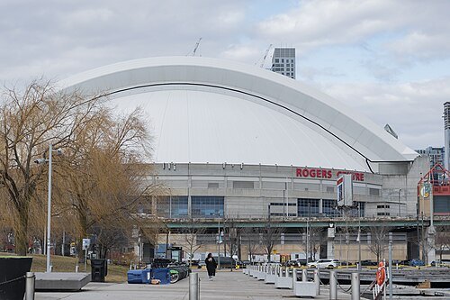
Fabian Roudra Baroi / CC BY-SA 4.0
music venueRogers Centre
stadium in Toronto, Ontario, Canada; home venue of the Toronto Blue Jays
Getting there Nearest stop or station Water Taxi, about 12 min on foot OpenStreetMap
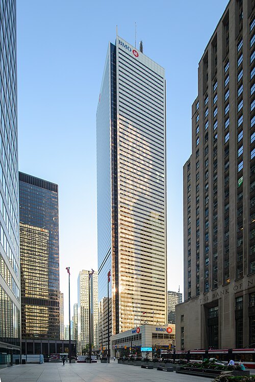 skyscraper
First Canadian Place
skyscraper in Toronto, Ontario, Canada
Getting there Nearest stop or station St. Andrew, about 4 min on foot OpenStreetMap
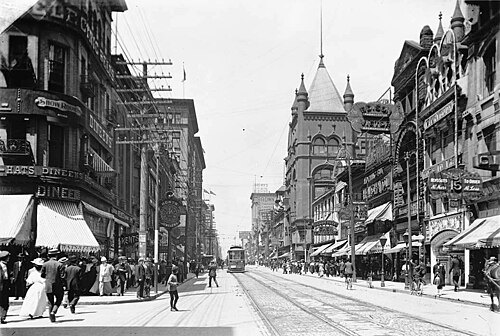
Alexander W. Galbraith / Public domain
streetYonge Street
road from shores of Lake Ontario in Toronto to Lake Simcoe
Getting there Nearest stop or station Bloor-Yonge, about 2 min on foot OpenStreetMap
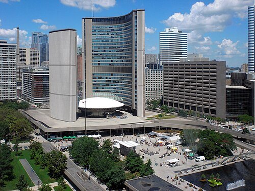 city hall
Toronto City Hall
city hall in Canada
Getting there Nearest stop or station Osgoode, about 6 min on foot OpenStreetMap
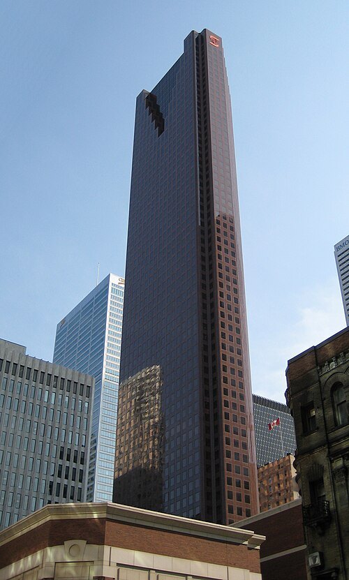 skyscraper
Scotia Plaza
Office building in Toronto, Ontario
Getting there Nearest stop or station King, about 2 min on foot OpenStreetMap
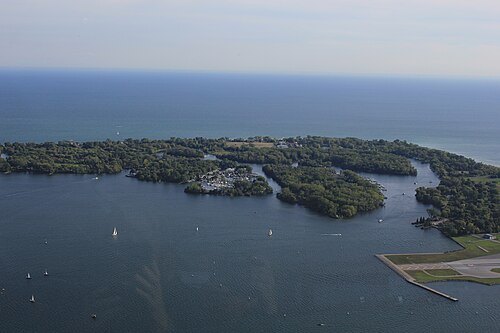 island group
Toronto Islands
archipelago in Lake Ontario, Canada
Getting there Nearest stop or station Centre Island Ferry Terminal, about 3 min on foot OpenStreetMap
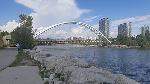
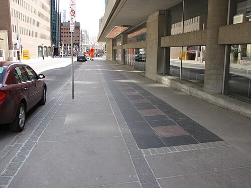 street
Canada's Walk of Fame
street in Toronto, Ontario, Canada
Getting there Nearest stop or station St. Andrew, about 3 min on foot OpenStreetMap
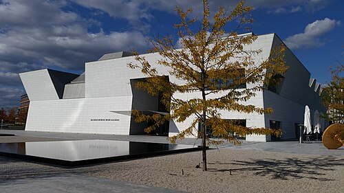 museum building
The Aga Khan Museum
museum dedicated to Islamic history, artifacts and art pieces in Toronto, Canada
Getting there Nearest stop or station Aga Khan Park & Museum, about 5 min on foot OpenStreetMap
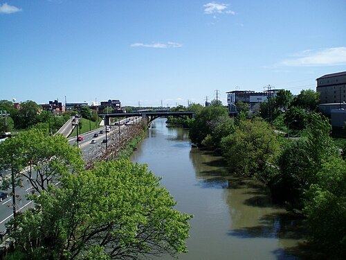
Raysonho @ Open Grid Scheduler / Grid Engine / Public domain
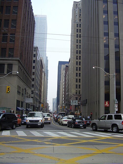 street
Bay Street
street in Toronto, Canada
Getting there Nearest stop or station TMU, about 4 min on foot OpenStreetMap
- amusement park
Canada's Wonderland
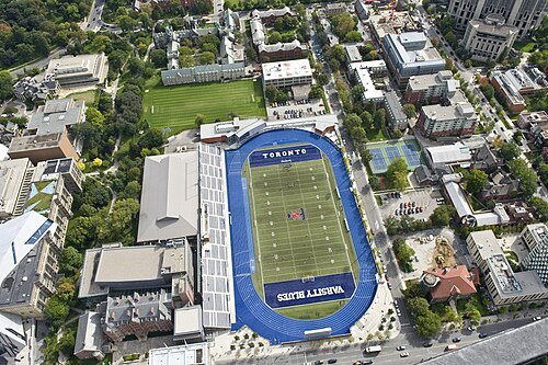
The City of Toronto / CC BY 2.0
stadiumVarsity Stadium
stadium at the University of Toronto St. George
Getting there Nearest stop or station St. George, about 3 min on foot OpenStreetMap
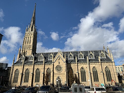 catholic cathedral
St. Michael's Cathedral
cathedral in Toronto, Canada
Getting there Nearest stop or station Queen, about 5 min on foot OpenStreetMap
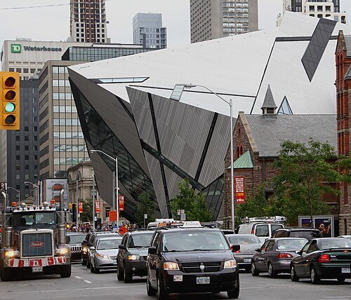
dbking from Washington, DC / CC BY 2.0
streetBloor Street
major thoroughfare in Toronto
Getting there Nearest stop or station Bloor-Yonge, about 2 min on foot OpenStreetMap
- astronomical observatory
Louis B. Stewart Observatory
observatory in Toronto, Ontario, Canada
Getting there Nearest stop or station Museum, about 7 min on foot OpenStreetMap
 sports venue
Sobeys Stadium
tennis stadium in Toronto
Getting there Nearest stop or station Pioneer Village, about 10 min on foot OpenStreetMap
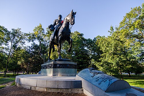
Jeff Hitchcock from Seattle, WA, USA / CC BY 2.0
urban parkQueen's Park
urban park in Downtown Toronto, Ontario, Canada - located to the north of the Ontario Legislative Building
Getting there Nearest stop or station Museum, about 4 min on foot OpenStreetMap
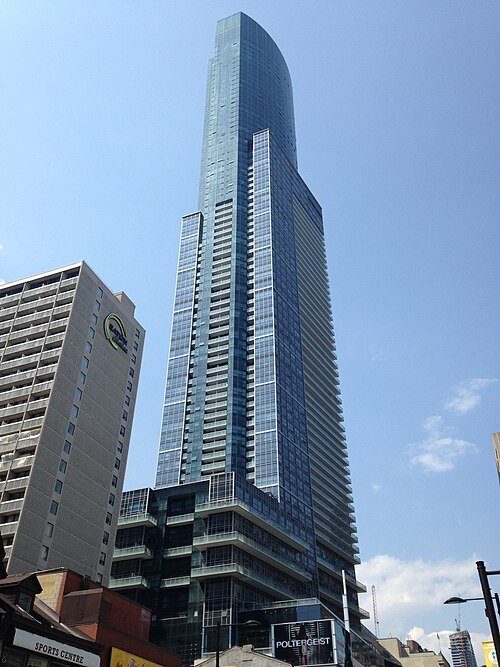 skyscraper
Aura
mixed-use skyscraper in Toronto, Ontario, Canada
Getting there Nearest stop or station College, about 2 min on foot OpenStreetMap
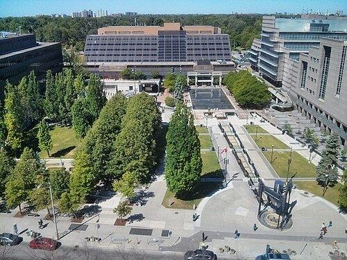 square
Mel Lastman Square
square in Toronto, Canada
Getting there Nearest stop or station North York Centre, about 2 min on foot OpenStreetMap
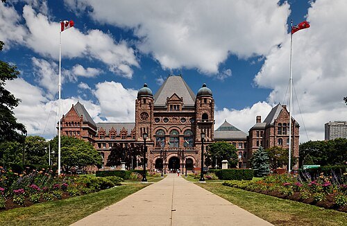
Benson Kua from Toronto, Canada / CC BY-SA 2.0
parliament buildingOntario Legislative Building
Legislative building on Ontario
Getting there Nearest stop or station Queen's Park, about 5 min on foot OpenStreetMap
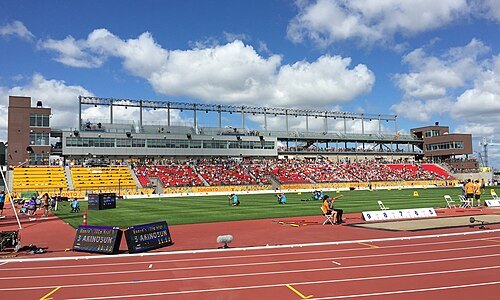 stadium
York Lions Stadium
sports stadium in Ontario
Getting there Nearest stop or station Pioneer Village, about 5 min on foot OpenStreetMap
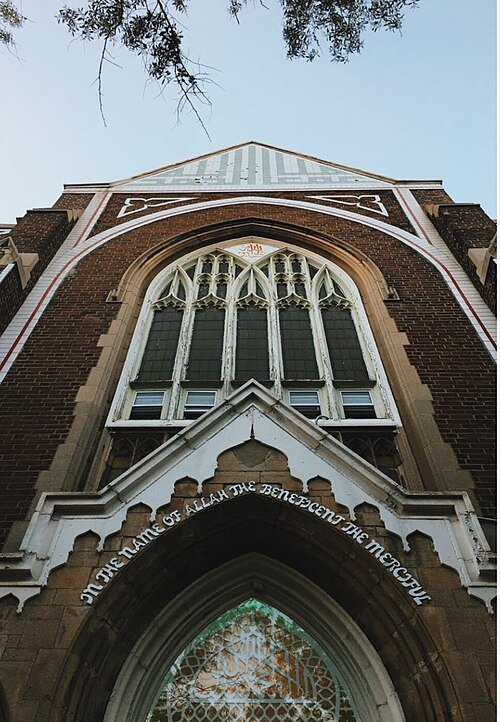 mosque
Jami Mosque
mosque in Canada
Getting there Nearest stop or station Dundas West Station, about 7 min on foot OpenStreetMap
- performing arts building
Four Seasons Centre for the Performing Arts
performing arts building in Toronto, Canada
Getting there Nearest stop or station Osgoode, about 1 min on foot OpenStreetMap
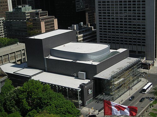
Neal Jennings from Toronto, ON, Canada / CC BY-SA 2.0
opera companyCanadian Opera Company
opera company based in Toronto, Ontario
Getting there Nearest stop or station Osgoode, about 1 min on foot OpenStreetMap
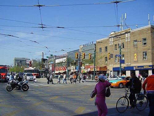 street
Spadina Avenue
street in Downtown Toronto, Canada
Getting there Nearest stop or station St. Patrick, about 13 min on foot OpenStreetMap
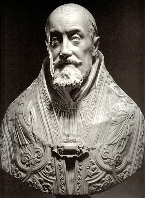 sculpture
Bust of Pope Gregory XV
sculpture by Gianlorenzo Bernini
Getting there Nearest stop or station St. Patrick, about 6 min on foot OpenStreetMap
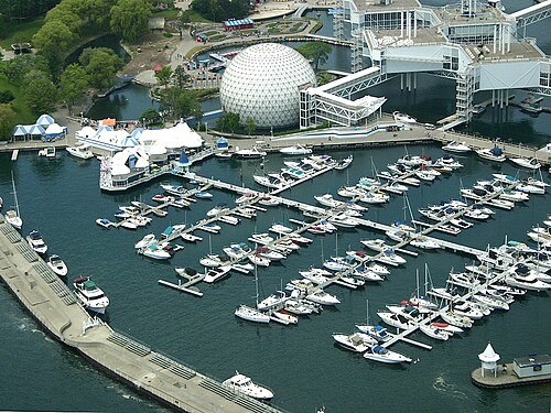
The original uploader was IDuke at English Wikipedia. / CC BY 2.5
island groupOntario Place
island group in Ontario, Canada
Getting there Nearest stop or station Exhibition, about 13 min on foot OpenStreetMap
- street
Queen Street
street in Toronto
Getting there Nearest stop or station Osgoode, about 8 min on foot OpenStreetMap
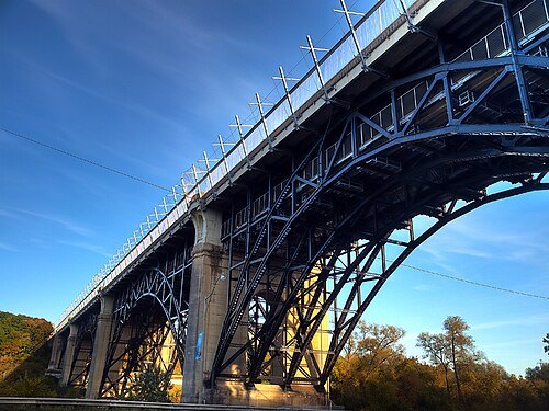 road bridge
Prince Edward Viaduct
truss arch bridge system in Toronto
Getting there Nearest stop or station Castle Frank, about 7 min on foot OpenStreetMap
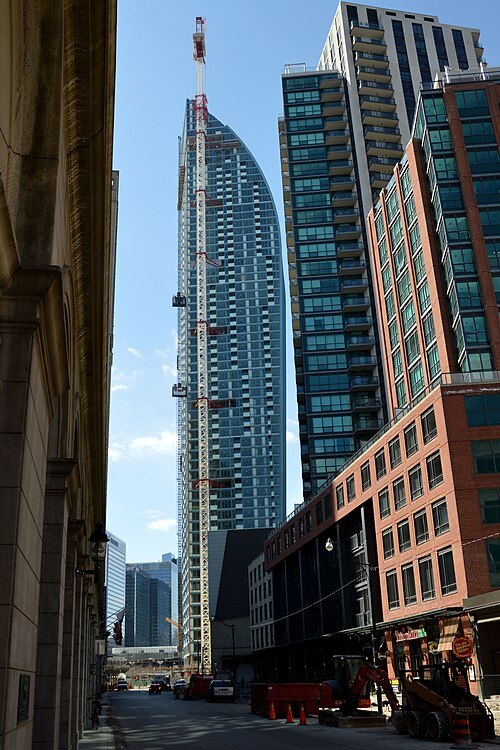 skyscraper
L Tower
skyscraper in Toronto, Canada
Getting there Nearest stop or station Union Station Bus Terminal, about 5 min on foot OpenStreetMap
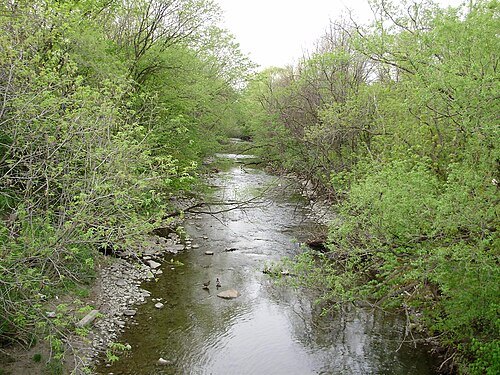
- fort
Fort Rouillé
French fort in Canada
Getting there Nearest stop or station Dufferin Gate Loop, about 7 min on foot OpenStreetMap


Places to eat
Nothing here matches that. Clear a filter and try again.
Opening hours and tickets: OpenStreetMap contributors. Each one shows the day a volunteer last wrote it down, so check the official site before you set out.