Quebec City: what to see and where to eat
Everything below comes from open data and each row says where it came from. We have not been to any of these places and we do not rank them.
Filters
Things to see
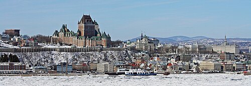 old town
Old Quebec
historic neighborhood in Quebec City, Canada, designated a UNESCO World Heritage Site
Getting there Nearest stop or station Place d'Youville, about 7 min on foot OpenStreetMap
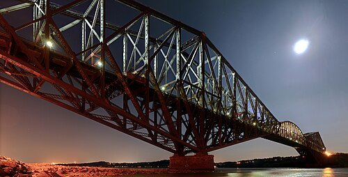
Martin St-Amant (S23678) / CC BY-SA 3.0
steel bridgeQuebec Bridge
Saint Lawrence River crossing bridge, between Quebec City and Levis, Quebec
Getting there Nearest stop or station Sainte-Foy, about 19 min on foot OpenStreetMap
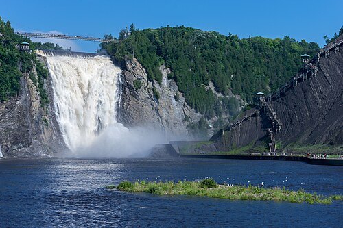
Jean-Christophe BENOIST / CC BY 4.0
waterfallMontmorency Falls
waterfall in Quebec, Canada
Getting there Nearest stop or station La Gare, about 10 min on foot OpenStreetMap
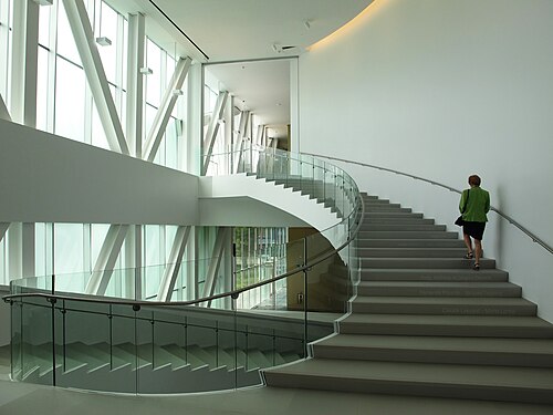
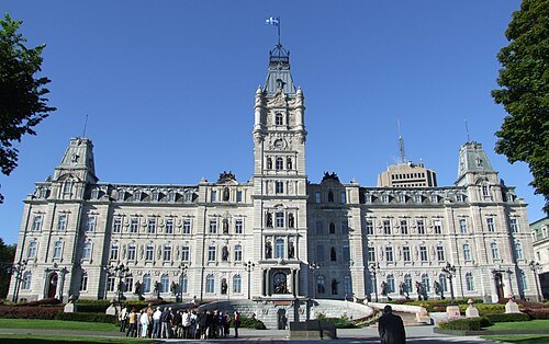
Christophe.Finot / CC BY-SA 2.5
parliament buildingParliament Building of Quebec
parliament building of Quebec
Getting there Nearest stop or station Place d'Youville, about 7 min on foot OpenStreetMap
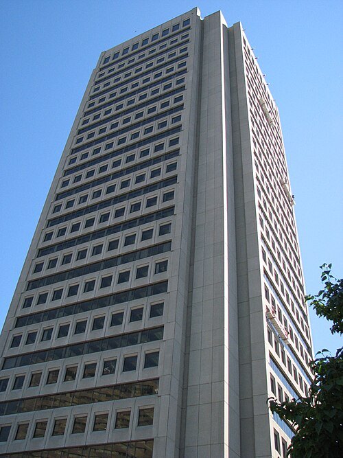
Datch78 at English Wikipedia / Public domain
skyscraperÉdifice Marie-Guyart
office skyscraper in Quebec City, Quebec
Getting there Nearest stop or station Place d'Youville, about 9 min on foot OpenStreetMap
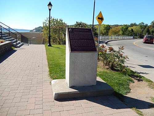
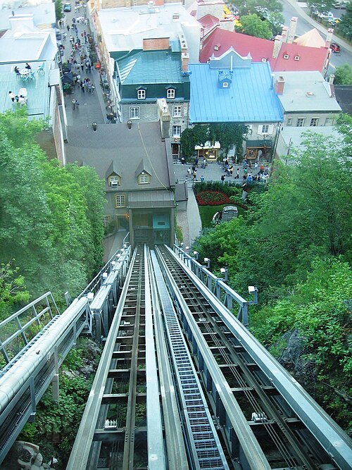
GarrettRock at English Wikipedia / CC BY-SA 3.0
funicularOld Quebec Funicular
Canadian railway
Getting there Nearest stop or station Gare fluviale, about 3 min on foot OpenStreetMap
François Laflamme / CC BY-SA 3.0
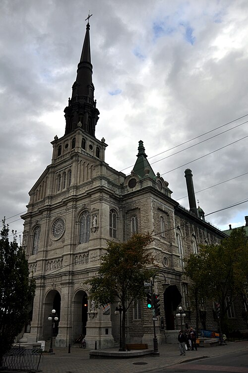
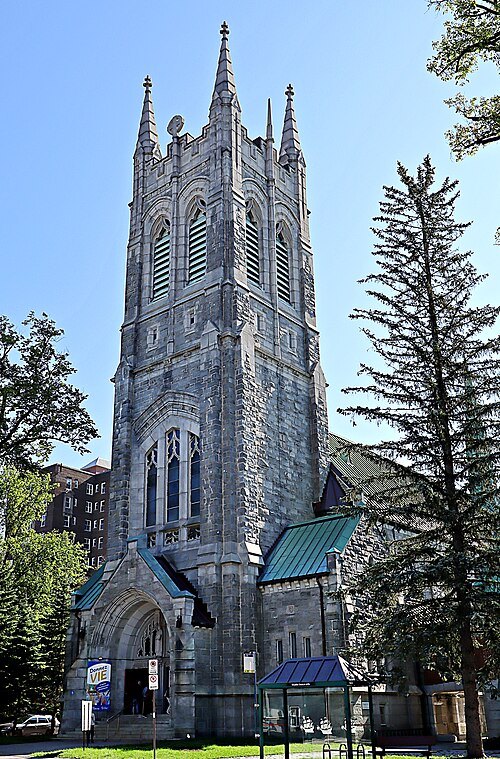
church buildingSaint-Jean-Baptiste Church
catholic church in Quebec City
Getting there Nearest stop or station Place d'Youville, about 10 min on foot OpenStreetMap
 performing arts building
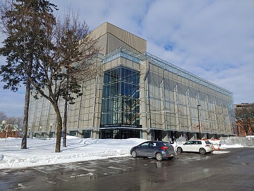
Grand Théâtre de Québec
performing arts complex in Quebec City, Canada
Getting there Nearest stop or station Place d'Youville, about 14 min on foot OpenStreetMap
 church building
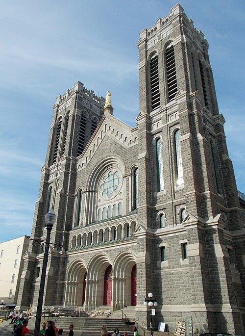
Saint-Roch Church
church in Quebec City
Getting there Nearest stop or station Place d'Youville, about 10 min on foot OpenStreetMap
 public aquarium
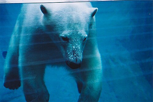
Aquarium du Québec
aquarium in Sainte-Foy, Quebec City, Canada
Getting there Nearest stop or station Sainte-Foy, about 13 min on foot OpenStreetMap
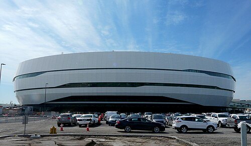 music venue
Centre Vidéotron
indoor arena, hockey venue and concert venue in Quebec City, Quebec, Canada
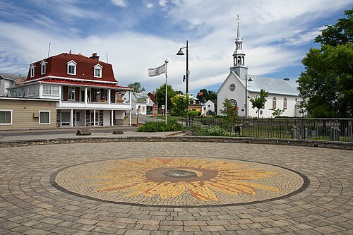
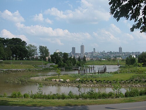 archaeological site
Stadacona
16th-century Iroquoian village near present-day Quebec City; origin of the name "Canada"
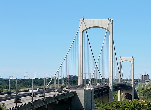 road bridge
Pont Pierre-Laporte
bridge crossing the Saint Lawrence River between Quebec City and Lévis, Quebec, Canada
Getting there Nearest stop or station Sainte-Foy, about 18 min on foot OpenStreetMap
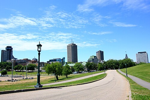
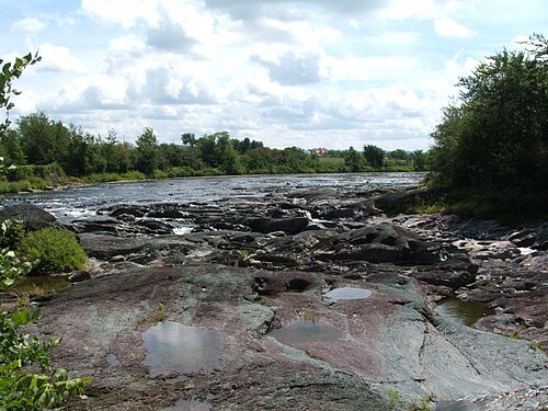
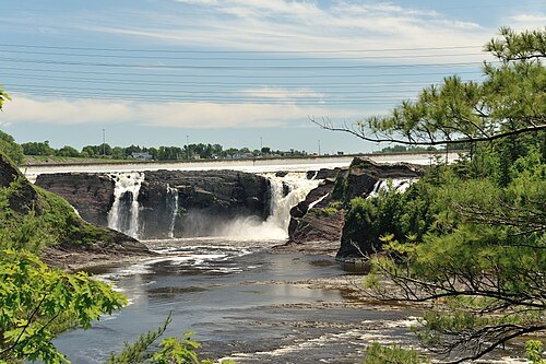 waterfall
Chaudière Falls
waterfall on the Chaudière River in Lévis, Quebec
Getting there Nearest stop or station Charny, about 14 min on foot OpenStreetMap
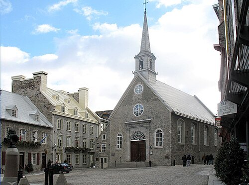
Gilbert Bochenek / CC BY-SA 3.0
squarePlace Royale
square in Québec, Canada
Getting there Nearest stop or station Gare fluviale, about 2 min on foot OpenStreetMap
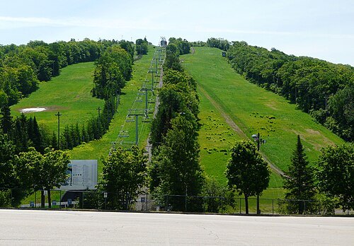
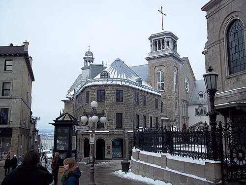 museum
Musée de l'Amérique française
museum in Quebec City, Canada
Getting there Nearest stop or station Gare fluviale, about 7 min on foot OpenStreetMap
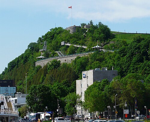 cape
Cap Diamant
populated cape in Quebec City, Canada
Getting there Nearest stop or station Gare fluviale, about 5 min on foot OpenStreetMap
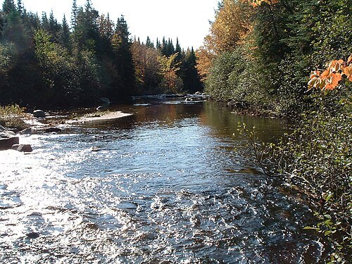
Conseil de bassin de la rivière Saint-Charles Cathybrie / CC BY 3.0
- mosque
Islamic Cultural Centre of Quebec City
building in Quebec, Canada
Getting there Nearest stop or station Gare d'autocars de Sainte-Foy, about 10 min on foot OpenStreetMap
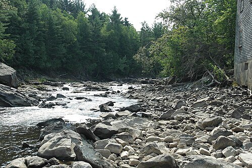
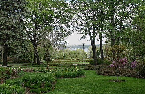
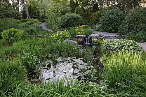 botanical garden
Roger-Van den Hende botanical garden
botanical garden in Quebec City, Quebec, Canada
Getting there Nearest stop or station Gare d'autocars de Sainte-Foy, about 19 min on foot OpenStreetMap
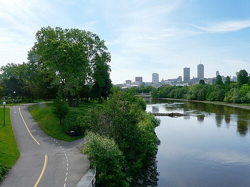
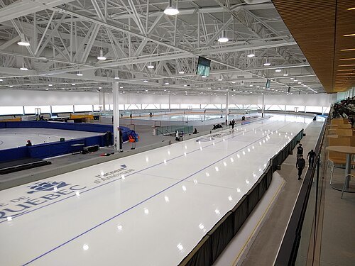 sports venue
Gaétan Boucher Oval
speed skating venue
Getting there Nearest stop or station Gare d'autocars de Sainte-Foy, about 4 min on foot OpenStreetMap
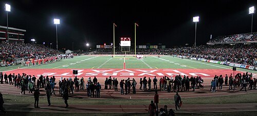
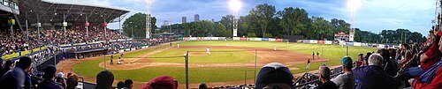
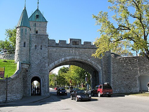 city walls
Ramparts of Quebec City
fortified walls surrounding the old city of Quebec, Canada
Getting there Nearest stop or station Place d'Youville, about 6 min on foot OpenStreetMap
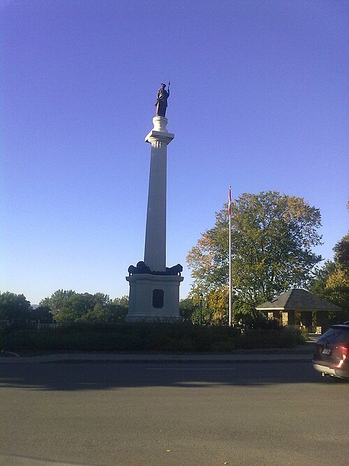 urban park
Parc des Braves
park in La Cité-Limoilou, Canada
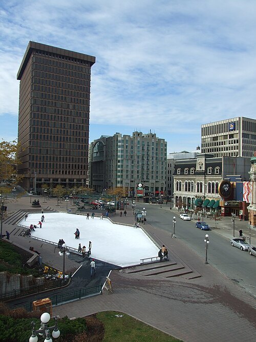
- sports venue
Quebec Skating Rink
Quebec City indoor skating rink; home of the Quebec Bulldogs
Getting there Nearest stop or station Place d'Youville, about 8 min on foot OpenStreetMap
- suspension bridge
Île d'Orléans Bridge
suspension bridge that spans the Saint Lawrence River between the Beauport borough of Québec City and Île d'Orléans
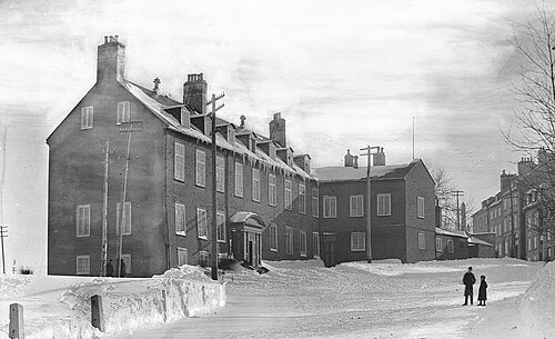
Fred C. Würtele / Public domain
châteauChâteau Haldimand
former castle in Quebec City
Getting there Nearest stop or station Gare fluviale, about 4 min on foot OpenStreetMap


Places to eat
- restaurant
Baifoo Express
Food: chinese
Nothing here matches that. Clear a filter and try again.
Opening hours and tickets: OpenStreetMap contributors. Each one shows the day a volunteer last wrote it down, so check the official site before you set out.