Ottawa: what to see and where to eat
Everything below comes from open data and each row says where it came from. We have not been to any of these places and we do not rank them.
Filters
Things to see
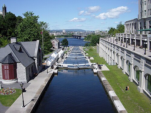
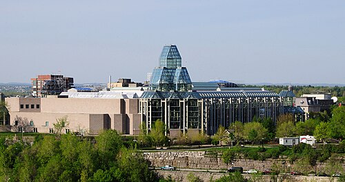
– Wladyslaw [Disk.] / CC BY-SA 3.0
national galleryNational Gallery of Canada
museum of art in Ottawa, Canada
Getting there Nearest stop or station Watertaxi, about 5 min on foot OpenStreetMap
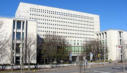
You may select the license of your choice. / CC BY-SA 3.0
national libraryLibrary and Archives Canada
national library and archives of Canada
Getting there Nearest stop or station Watertaxi, about 3 min on foot OpenStreetMap
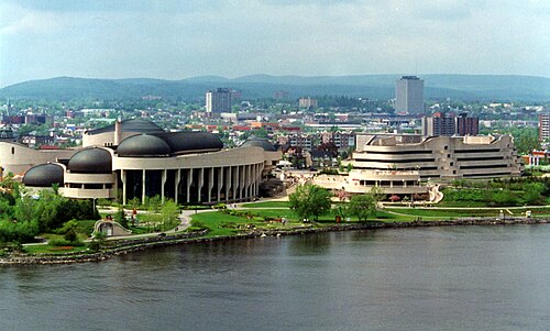
Wojciech Dittwald / CC BY-SA 3.0
museum buildingCanadian Museum of History
museum in Gatineau, Quebec, Canada
Getting there Nearest stop or station Watertaxi, about 2 min on foot OpenStreetMap
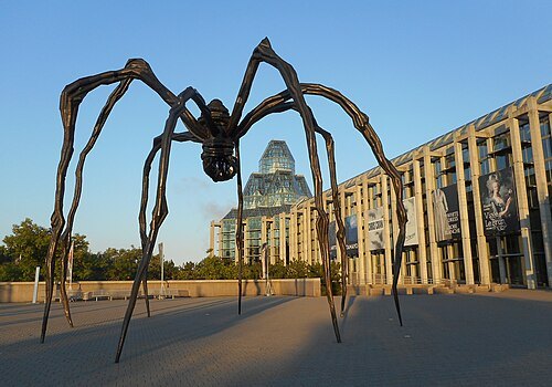 sculpture
Maman
series of sculptures by Louise Bourgeois
Getting there Nearest stop or station Watertaxi, about 6 min on foot OpenStreetMap
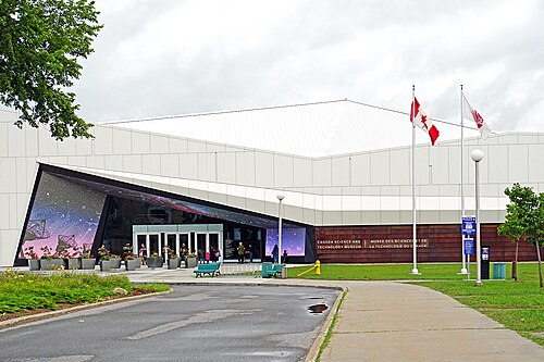
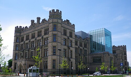 natural history museum
Canadian Museum of Nature
natural history museum in Ottawa, Canada
Getting there Nearest stop or station uOttawa, about 16 min on foot OpenStreetMap
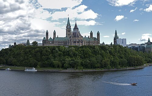
David Samuel, User:Hellodavey1902 / CC BY-SA 3.0
parliament buildingParliament Hill
site of the Canadian Parliament buildings, in Ottawa, Ontario, Canada
Getting there Nearest stop or station Watertaxi, about 3 min on foot OpenStreetMap
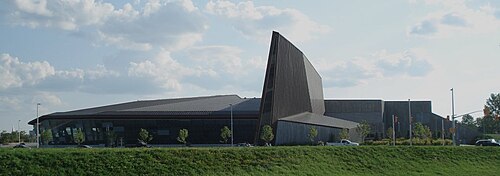
Balcer~commonswiki / CC BY 2.5
military museumCanadian War Museum
national museum in Ontario, Canada
Getting there Nearest stop or station Pimisi, about 8 min on foot OpenStreetMap
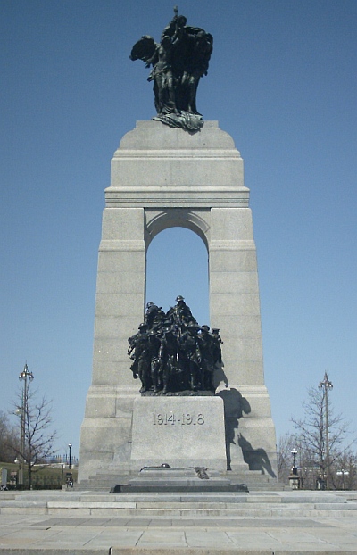 war memorial
National War Memorial
Canadian national war memorial in Ottawa
Getting there Nearest stop or station Rideau, about 6 min on foot OpenStreetMap
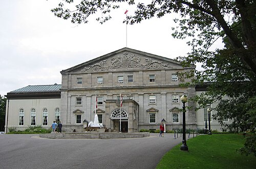
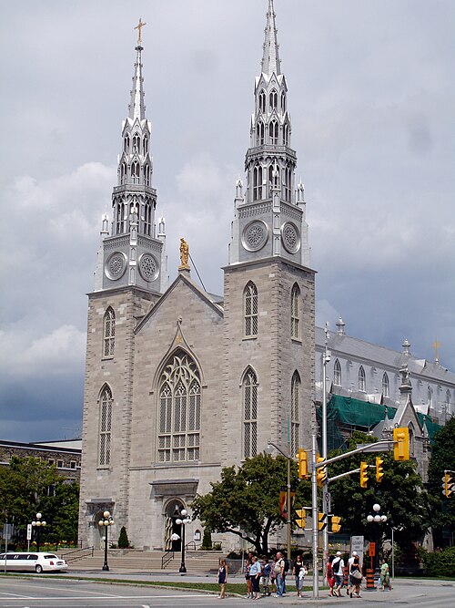
Daryl Mitchell from Saskatoon, Canada / CC BY-SA 2.0
catholic cathedralNotre-Dame Cathedral Basilica
church in Ottawa, Ontario, Canada
Getting there Nearest stop or station Watertaxi, about 7 min on foot OpenStreetMap
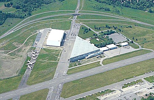
Lezumbalaberenjena at English Wikipedia / Public domain
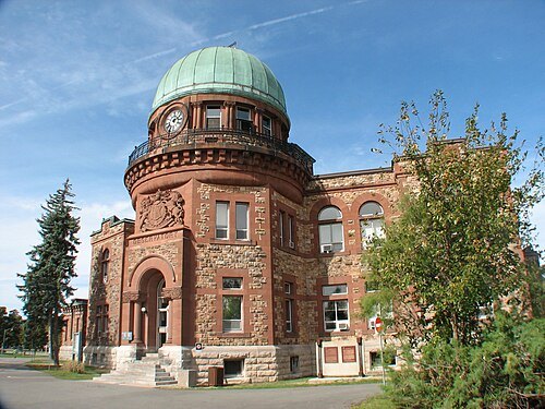
astronomical observatoryDominion Observatory
observatory in Ottawa, Canada
Getting there Nearest stop or station Dow's Lake, about 9 min on foot OpenStreetMap
Bank of Canada - Banque du Canada from Canada / CC BY 2.0
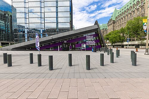
museumBank of Canada Museum
museum in Ottawa, Ontario
Getting there Nearest stop or station Lyon, about 4 min on foot OpenStreetMap
 public library
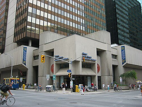
Ottawa Public Library
public library in Ottawa, Ontario, Canada
Getting there Nearest stop or station Parliament, about 5 min on foot OpenStreetMap
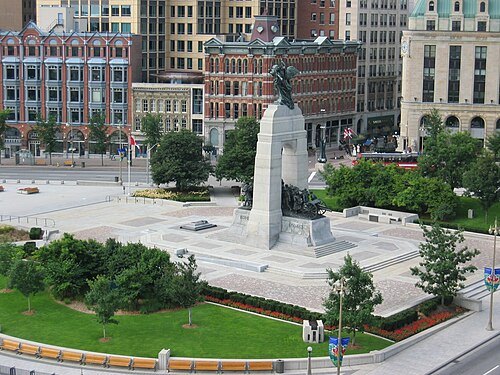 square
Confederation Square
square in Ottawa, Canada
Getting there Nearest stop or station Rideau, about 6 min on foot OpenStreetMap
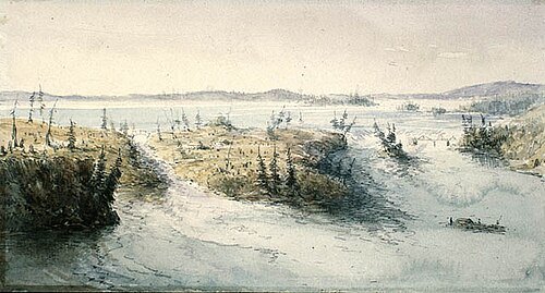
Charles John Colville of Culross, 1818-1903 / Public domain
waterfallChaudière Falls
waterfalls on the Ottawa River
Getting there Nearest stop or station Watertaxi, about 15 min on foot OpenStreetMap
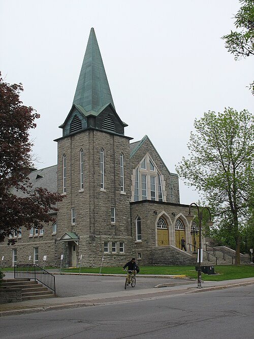 catholic cathedral
St Joseph Cathedral
cathedral of the Roman Catholic Archdiocese of Gatineau
Getting there Nearest stop or station Montcalm, about 10 min on foot OpenStreetMap
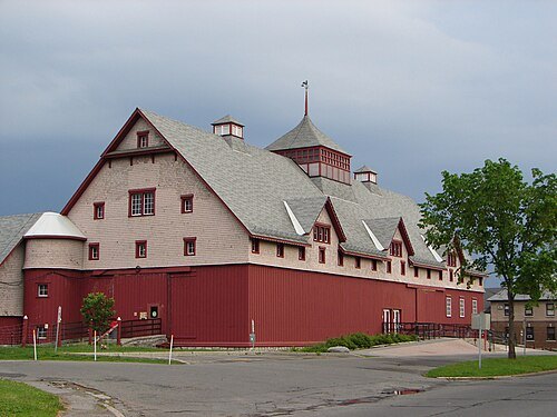 museum
Canada Agriculture and Food Museum
agricultural museum in Ottawa, Ontario, Canada
Getting there Nearest stop or station Carleton, about 15 min on foot OpenStreetMap
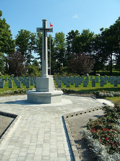
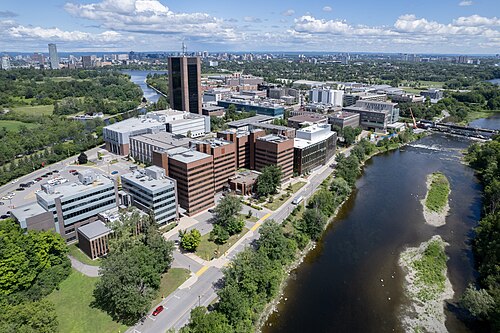
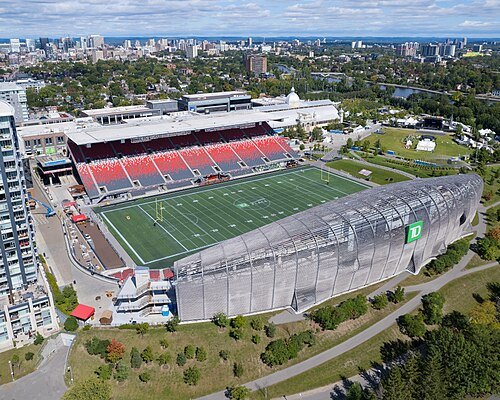 multi-purpose stadium
TD Place Stadium
outdoor stadium in Ottawa, Canada
Getting there Nearest stop or station Riverside, about 18 min on foot OpenStreetMap
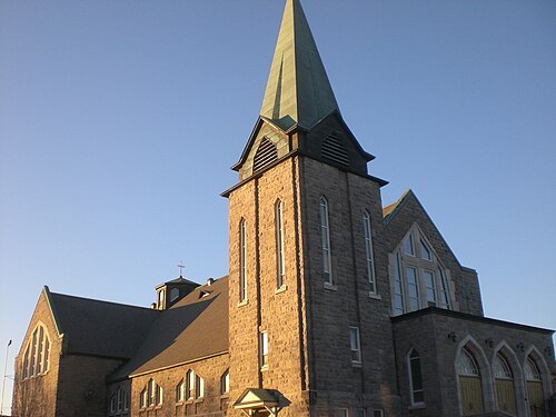 diocese of the catholic church
Archdiocese of Gatineau
Catholic archdiocese in Canada
Getting there Nearest stop or station Station Rapibus Labrosse, about 15 min on foot OpenStreetMap
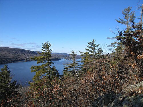
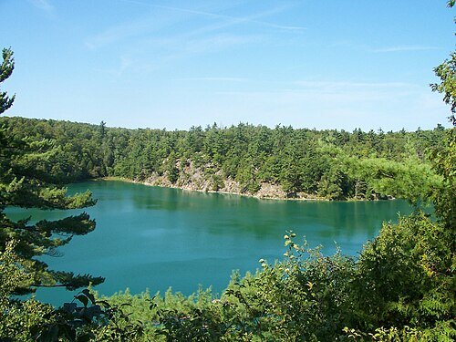
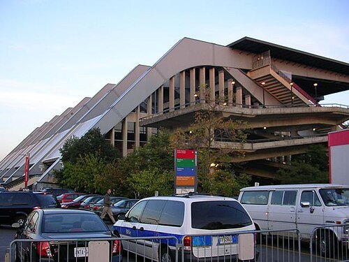
en:User:Earl Andrew / Public domain
arenaTD Place Arena
architectural structure
Getting there Nearest stop or station Riverside, about 19 min on foot OpenStreetMap
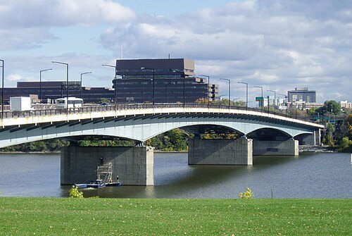
SimonP at English Wikipedia / CC BY-SA 3.0
road bridgeMacdonald-Cartier Bridge
bridge connecting Ottawa to Gatineau
Getting there Nearest stop or station Watertaxi, about 13 min on foot OpenStreetMap
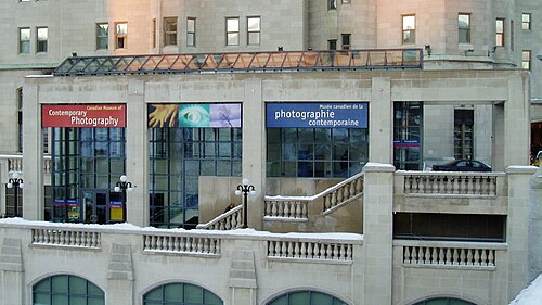 art museum
Canadian Museum of Contemporary Photography
gallery in Ontario, Canada
Getting there Nearest stop or station Rideau, about 5 min on foot OpenStreetMap
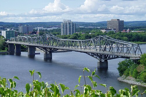
SimonP at English Wikipedia / CC BY-SA 3.0
cantilever bridgeAlexandra Bridge
bridge between Ottawa and Gatineau, Canada
Getting there Nearest stop or station Watertaxi, about 3 min on foot OpenStreetMap
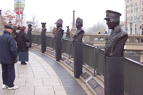 monument
Valiants Memorial
military monument located in Ottawa, Ontario, Canada
Getting there Nearest stop or station Rideau, about 6 min on foot OpenStreetMap
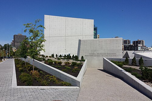 monument
National Holocaust Monument
monument in Ottawa, Ontario, Canada
Getting there Nearest stop or station Pimisi, about 6 min on foot OpenStreetMap
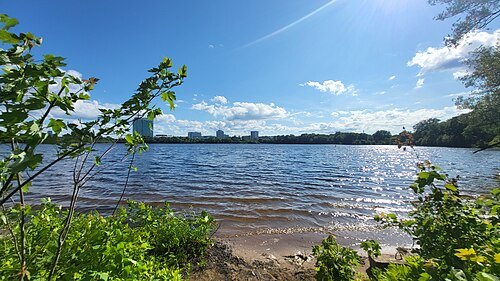 lake
Lac Leamy
lake in Gatineau, Queebc, Canada
Getting there Nearest stop or station Les Galeries de Hull, about 18 min on foot OpenStreetMap
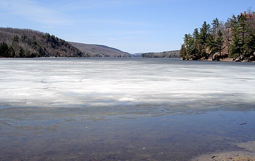
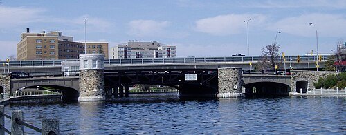
User SimonP on en.wikipedia / CC BY-SA 3.0
vertical-lift bridgePretoria Bridge
table bridge in Ottawa, Canada
Getting there Nearest stop or station uOttawa, about 16 min on foot OpenStreetMap
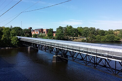 river island
Lemieux Island
island in the Ottawa River at Ottawa, Canada
Getting there Nearest stop or station Bayview, about 19 min on foot OpenStreetMap
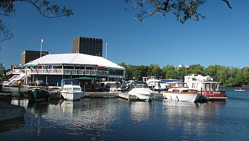
Original uploader was Lezumbalaberenjena at en.wikipedia / Public domain
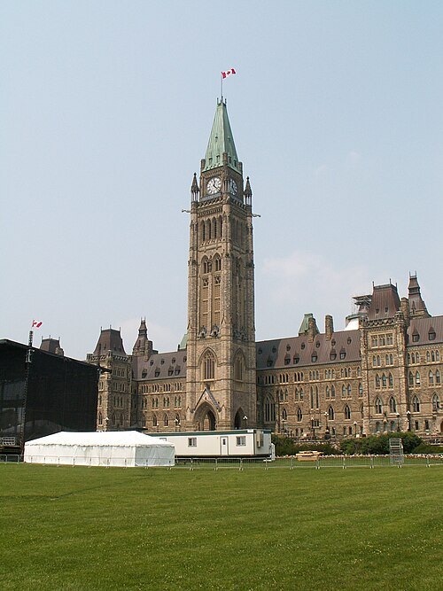 clock tower
Peace Tower
bell and clock tower at the centre of Canada's Parliament buildings, in Ottawa
Getting there Nearest stop or station Watertaxi, about 3 min on foot OpenStreetMap
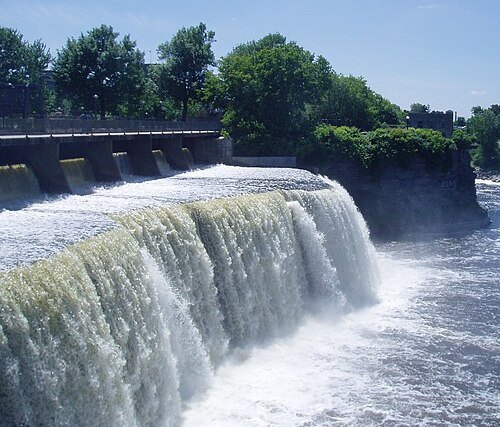
The original uploader was SimonP at English Wikipedia. / CC BY-SA 3.0
- sculpture series
Queen's Beasts
sculptures by James Woodford
Getting there Nearest stop or station Watertaxi, about 3 min on foot OpenStreetMap
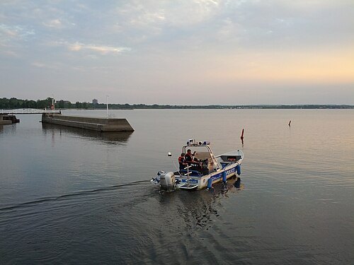
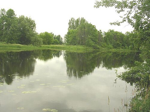
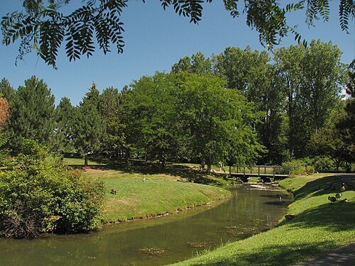
Lezumbalaberenjena at English Wikipedia / Public domain
parkAndrew Haydon Park
park on the Ottawa River in the city of Ottawa
Getting there Nearest stop or station Bayshore Transitway Station, about 17 min on foot OpenStreetMap
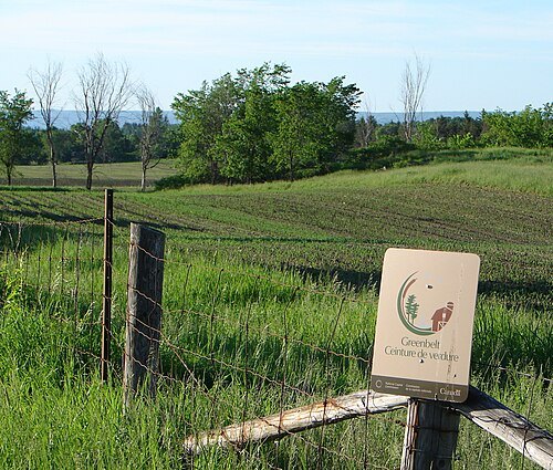 protected area
Ottawa Greenbelt
protected area of green space, including farms, forests and wetlands encircling Ottawa, Ontario, Canada
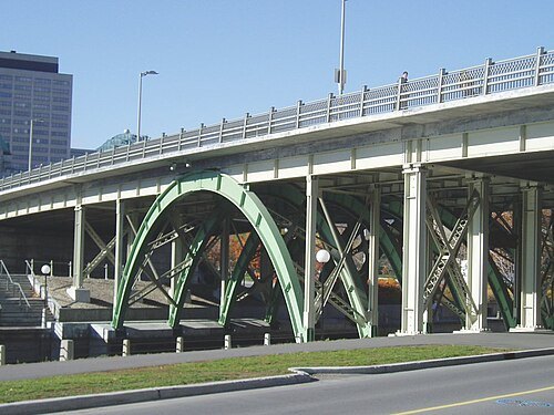
SimonP at English Wikipedia / Public domain
road bridgeLaurier Avenue Bridge
bridge in Canada
Getting there Nearest stop or station Rideau, about 7 min on foot OpenStreetMap
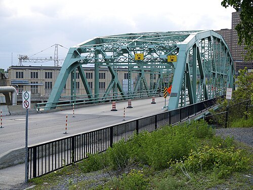 bridge
Chaudière Bridge
bridge in Canada
Getting there Nearest stop or station Watertaxi, about 11 min on foot OpenStreetMap
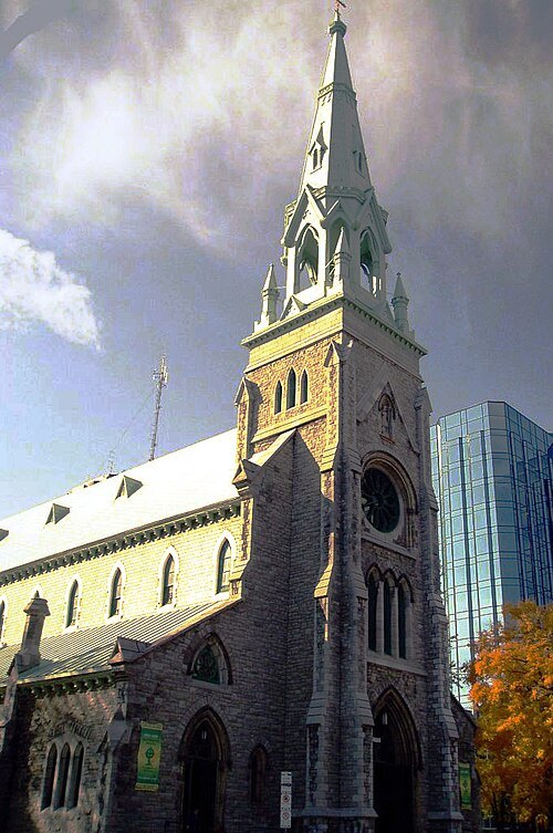 minor basilica
St. Patrick's Basilica, Ottawa
church in Ontario, Canada
Getting there Nearest stop or station Lyon, about 6 min on foot OpenStreetMap
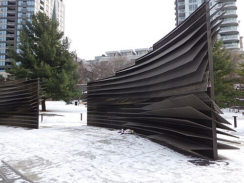 victims of communism memorial
Memorial to the Victims of Communism
monument in Ottawa, Canada
Getting there Nearest stop or station Watertaxi, about 5 min on foot OpenStreetMap
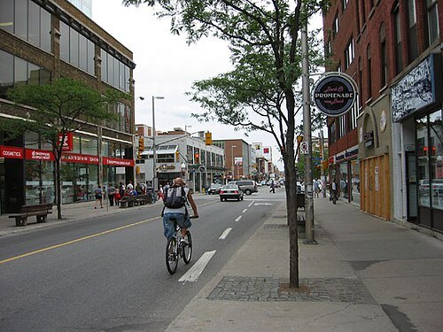
Peregrine981 at en.wikipedia / CC BY-SA 3.0
streetBank Street
street in Ottawa, Ontario, Canada
Getting there Nearest stop or station Parliament, about 3 min on foot OpenStreetMap
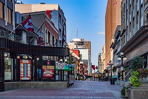
Michel Rathwell from Cornwall, Canada / CC BY 2.0
streetSparks Street
street in Ottawa
Getting there Nearest stop or station Lyon, about 4 min on foot OpenStreetMap


Places to eat
Nothing here matches that. Clear a filter and try again.
Opening hours and tickets: OpenStreetMap contributors. Each one shows the day a volunteer last wrote it down, so check the official site before you set out.