Niagara Falls: what to see and where to eat
Everything below comes from open data and each row says where it came from. We have not been to any of these places and we do not rank them.
Filters
Things to see
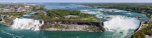
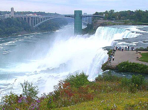
Robert F. Tobler / CC BY-SA 4.0
waterfallNiagara Falls
three waterfalls that straddle the international border between Canada and the United States
Getting there Nearest stop or station Niagara Scenic Trolley, about 12 min on foot OpenStreetMap
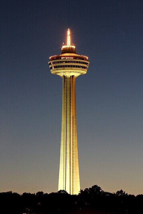
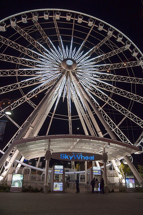
Ingelbert Lievaart II / CC BY-SA 3.0
observation towerSkylon Tower
observation tower in Niagara Falls, Canada
Getting there Nearest stop or station Fallsview Casino, about 8 min on foot OpenStreetMap
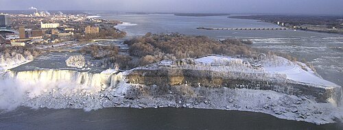 river island
Goat Island
small island in the Niagara River, in Niagara County, New York State, USA
Getting there Nearest stop or station Niagara Scenic Trolley, about 7 min on foot OpenStreetMap
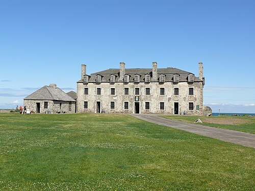
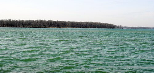
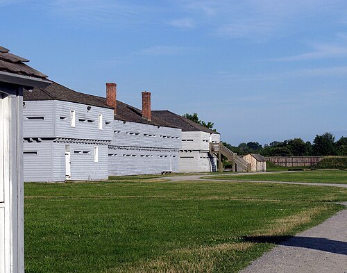
- international bridge
Whirlpool Rapids Bridge
road-rail bridge across the Niagara River, connecting Niagara Falls, Ontario, with Niagara Falls, New York
Getting there Nearest stop or station Niagara Falls, New York, about 4 min on foot OpenStreetMap
 river island
Luna Island
island in the Niagara River in Niagara County, New York, United States
Getting there Nearest stop or station Maid of the Mist, about 7 min on foot OpenStreetMap
 ferris wheel
Niagara SkyWheel
Ferris wheel near Niagara Falls, Canada
Getting there Nearest stop or station Niagara City Cruises, about 8 min on foot OpenStreetMap
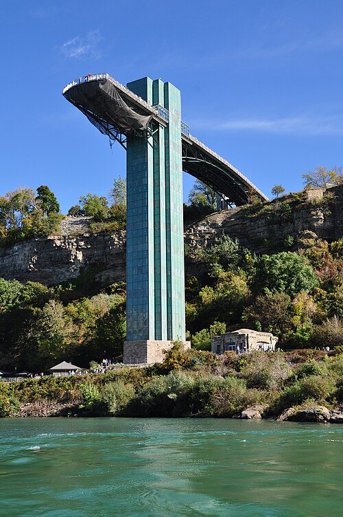 observation tower
Prospect Point Park observation tower
tower located in Niagara Falls, New York
Getting there Nearest stop or station Maid of the Mist, about 2 min on foot OpenStreetMap
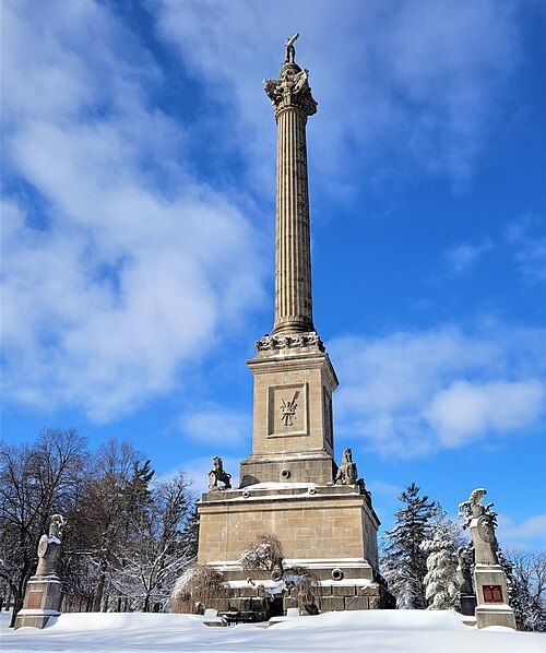
Mhsheikholeslami / CC BY-SA 4.0
historic siteQueenston Heights National Historic Site of Canada
urban park and heritage site in Niagara-on-the-Lake, Ontario, Canada
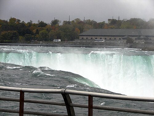 scenic viewpoint
Terrapin Point
observation area located in Niagara Falls, New York
Getting there Nearest stop or station Fallsview Casino, about 8 min on foot OpenStreetMap
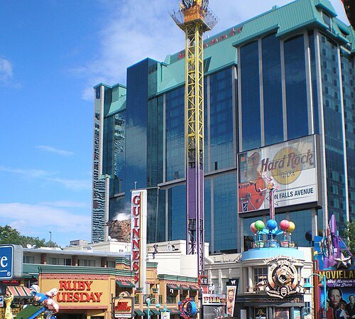
Carlos Delgado / Public domain
streetClifton Hill
street and tourist area in Niagara Falls, Ontario, Canada
Getting there Nearest stop or station Niagara City Cruises, about 7 min on foot OpenStreetMap
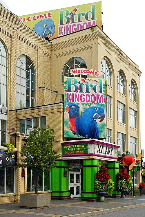
Dennis G. Jarvis / CC BY-SA 2.0
bird parkBird Kingdom
aviary in Niagara Falls, Ontario, Canada
Getting there Nearest stop or station Maid of the Mist, about 9 min on foot OpenStreetMap
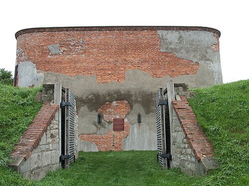
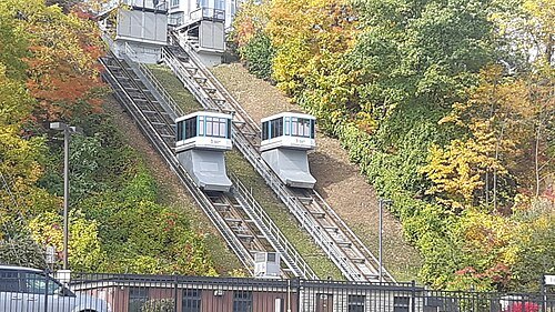 funicular
Falls Incline Railway
railway line in Canada
Getting there Nearest stop or station Fallsview Casino, about 2 min on foot OpenStreetMap
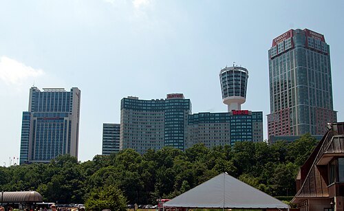
Dirk Ingo Franke / CC BY-SA 3.0
skyscraperMarriott on the Falls Hotel
niagara Falls, Ontario, Canada
Getting there Nearest stop or station Fallsview Casino, about 5 min on foot OpenStreetMap
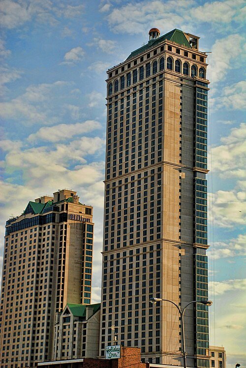
Domenic Scaturchio / CC BY 2.0
skyscraperHilton Niagara Falls Tower 2
hotel skyscraper in Niagara Falls, Ontario, Canada
Getting there Nearest stop or station Fallsview Casino, about 4 min on foot OpenStreetMap
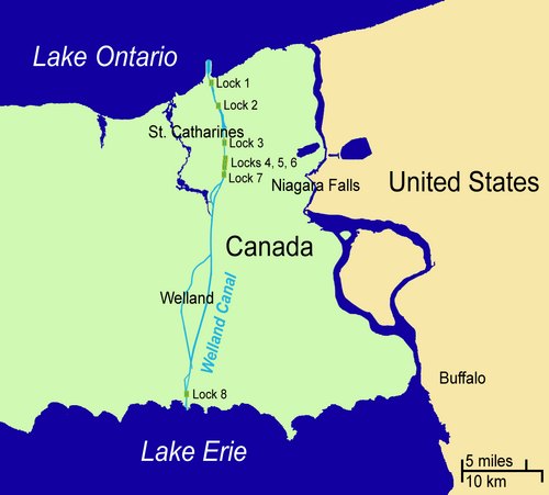
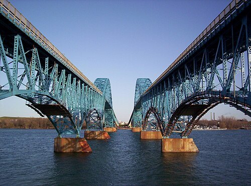
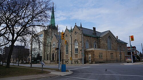 diocese of the catholic church
Roman Catholic Diocese of Saint Catharines
Catholic ecclesiastical territory in Canada
Getting there Nearest stop or station St. Catharines Transit Hub, about 4 min on foot OpenStreetMap
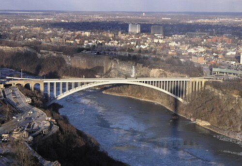
No machine-readable author provided. Mav assumed (based on copyright claims). / CC BY-SA 2.5
international bridgeRainbow Bridge
major crossing of the Niagara River
Getting there Nearest stop or station Maid of the Mist, about 5 min on foot OpenStreetMap
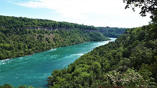
Mhsheikholeslami / CC BY-SA 4.0
canyonNiagara Gorge
gorge of the Niagara River on the boundary of Canada and the United States
Getting there Nearest stop or station Whirlpool Aero Car, about 5 min on foot OpenStreetMap
- international bridge
Honeymoon Bridge
former bridge over Niagara River, collapsed in 1938
Getting there Nearest stop or station Niagara City Cruises, about 2 min on foot OpenStreetMap
- cave
Cave of the Winds
former cave and current tourist attraction at Niagara Falls
Getting there Nearest stop or station Niagara City Cruises, about 7 min on foot OpenStreetMap
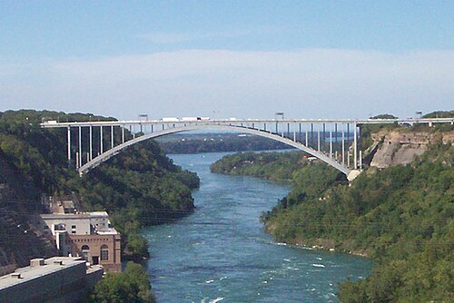
- railway bridge
Niagara Falls Suspension Bridge
defunct bridge spanning the Niagara River
Getting there Nearest stop or station Niagara Falls, New York, about 5 min on foot OpenStreetMap
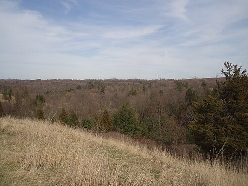
No machine-readable author provided. Terfili assumed (based on copyright claims). / Public domain
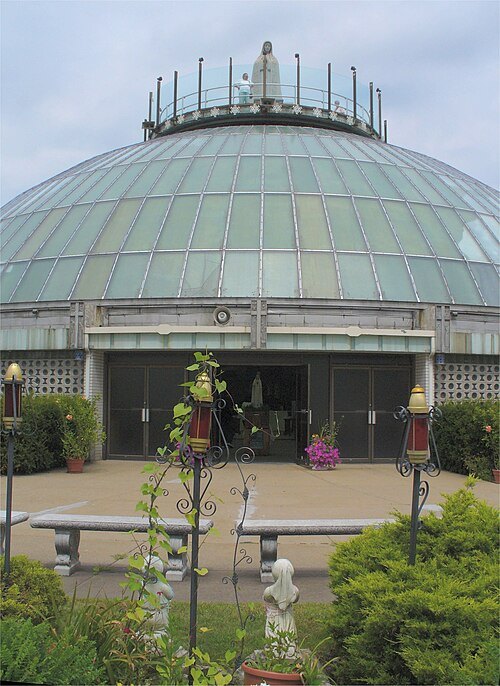
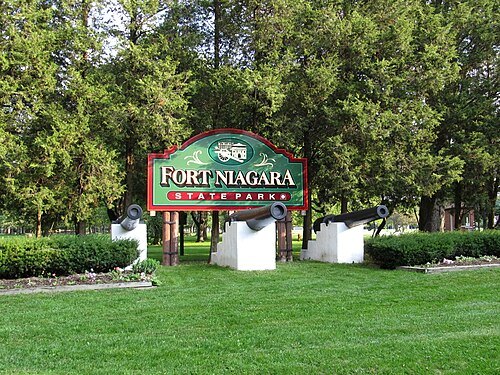
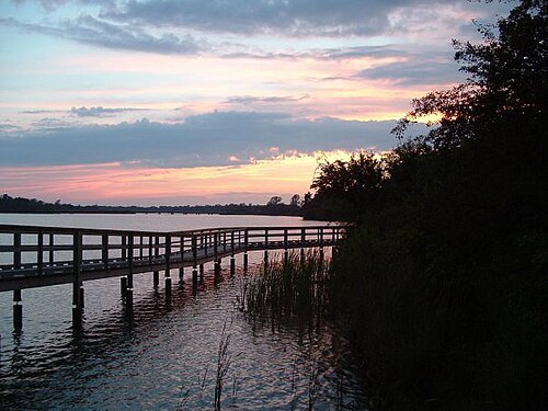
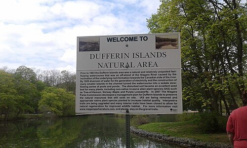
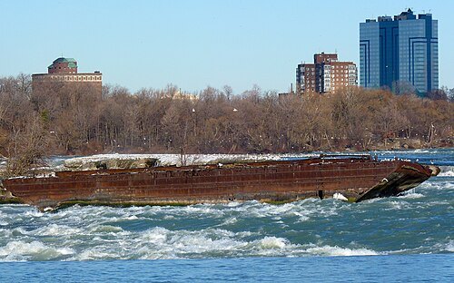
Diego Torres Silvestre from Sao Paulo, Brazil / CC BY 2.0
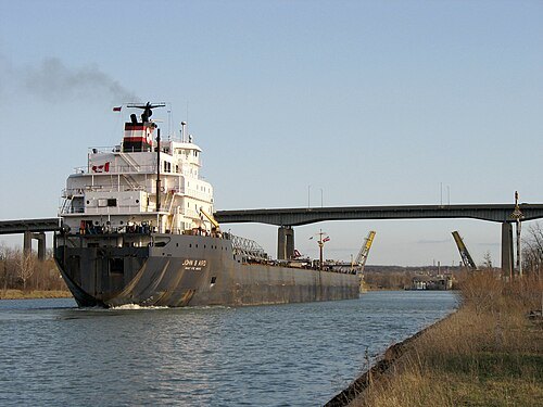
shipwreckNiagara Scow
shipwreck upstream of Niagara Falls
Getting there Nearest stop or station Niagara Scenic Trolley, about 15 min on foot OpenStreetMap
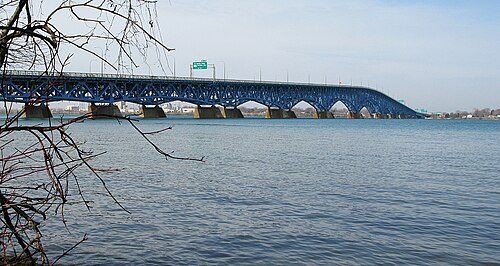
- steel bridge
Niagara Cantilever Bridge
bridge in New York, and Niagara Falls
Getting there Nearest stop or station Niagara Falls, New York, about 6 min on foot OpenStreetMap
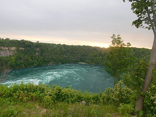
Adam Moss from Tonawanda, New York, United States / CC BY-SA 2.0
new york state parkWhirlpool State Park
State park in Niagara County, New York
Getting there Nearest stop or station Whirlpool Aero Car, about 10 min on foot OpenStreetMap
Lezumbalaberenjena at English Wikipedia / Public domain
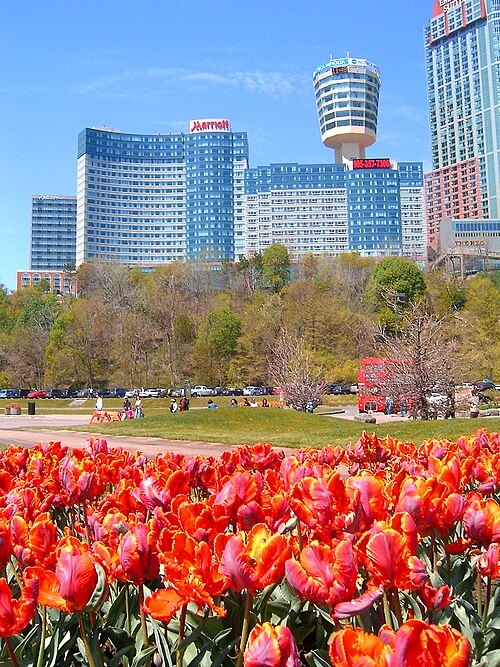
observation towerKonica Minolta Tower Centre
modern observation towers
Getting there Nearest stop or station Fallsview Casino, about 4 min on foot OpenStreetMap
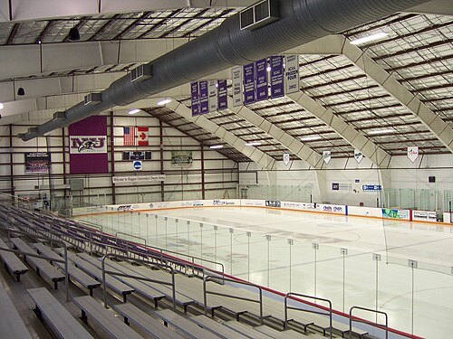
 arena
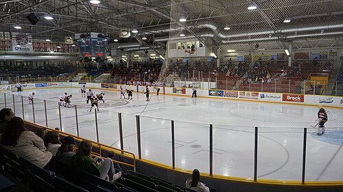
Gatorade Garden City Complex
arena in St. Catharines, Ontario, Canada
Getting there Nearest stop or station St. Catharines Transit Hub, about 6 min on foot OpenStreetMap
Michael Pardo from Niagara, Canada / CC0
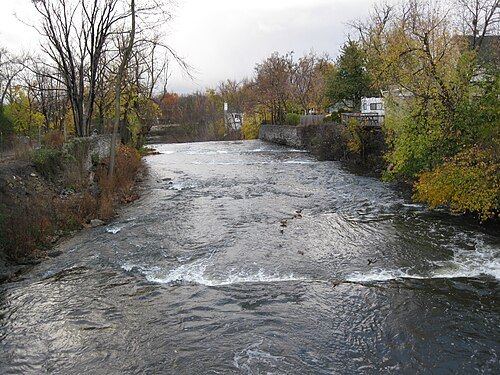
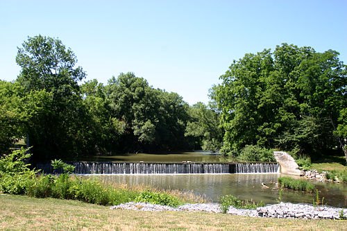
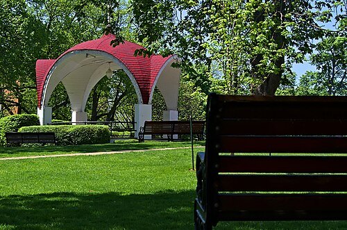
parkMontebello Park
Park in St. Catharines, Ontario, Canada
Getting there Nearest stop or station St. Catharines Transit Hub, about 10 min on foot OpenStreetMap
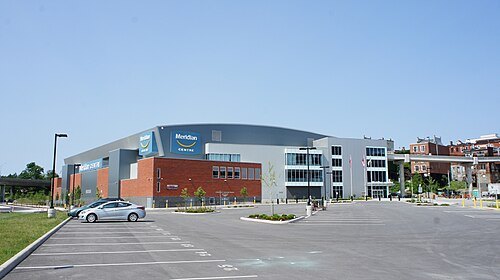 arena
Meridian Centre
arena in St. Catharines, Ontario, Canada
Getting there Nearest stop or station St. Catharines Transit Hub, about 7 min on foot OpenStreetMap
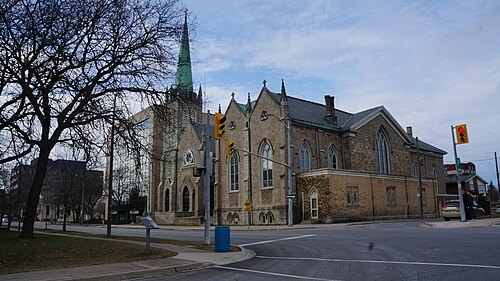 catholic cathedral
Cathedral of St. Catherine of Alexandria
cathedral in St. Catharines, Ontario
Getting there Nearest stop or station St. Catharines Transit Hub, about 4 min on foot OpenStreetMap
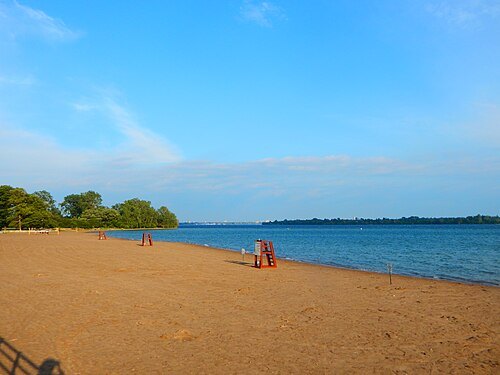
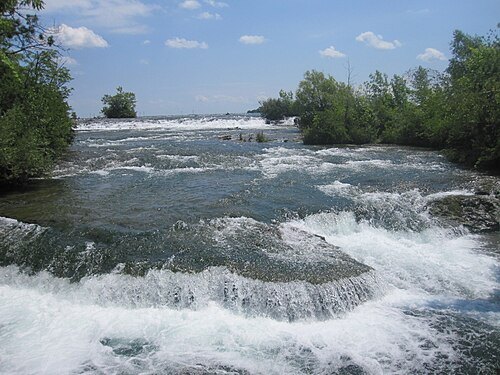
Billy Hathorn (talk) / CC BY-SA 3.0
island groupThree Sisters Islands
islands in the Niagara River in New York State
Getting there Nearest stop or station Niagara Scenic Trolley, about 6 min on foot OpenStreetMap


Places to eat
- restaurant
Hard Rock Cafe
Food: american
- restaurant
Rainforest Cafe
Food: american
- restaurant
Denny's
Food: american
Nothing here matches that. Clear a filter and try again.
Opening hours and tickets: OpenStreetMap contributors. Each one shows the day a volunteer last wrote it down, so check the official site before you set out.