Markham: what to see and where to eat
Everything below comes from open data and each row says where it came from. We have not been to any of these places and we do not rank them.
Filters
Things to see
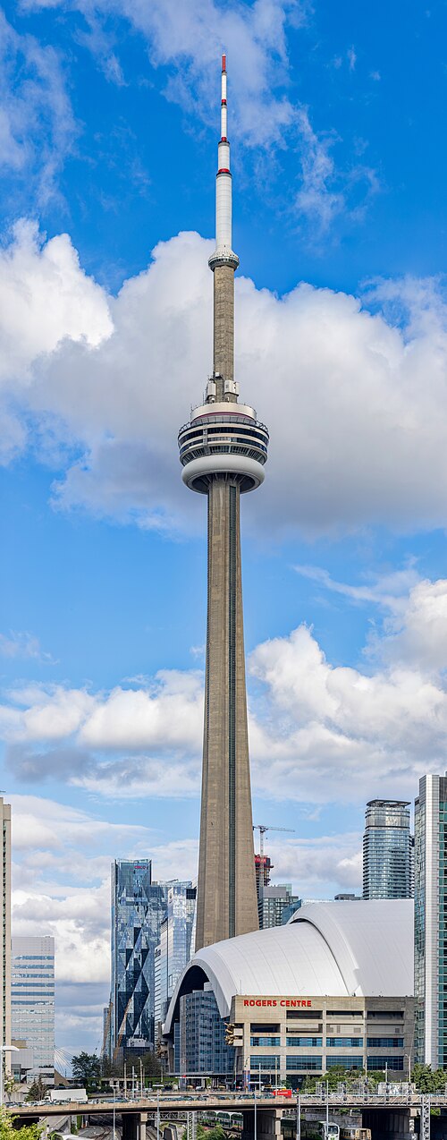 observation tower
CN Tower
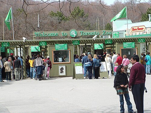
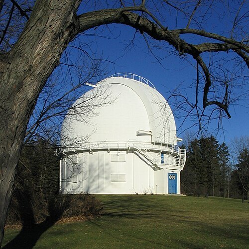
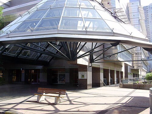 public library
North York Central Library
library branch located in North York, Toronto, Canada
Getting there Nearest stop or station North York Centre, about 2 min on foot OpenStreetMap
 museum building
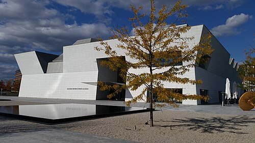
The Aga Khan Museum
museum dedicated to Islamic history, artifacts and art pieces in Toronto, Canada
Getting there Nearest stop or station Aga Khan Park & Museum, about 5 min on foot OpenStreetMap
Raysonho @ Open Grid Scheduler / Grid Engine / Public domain
- amusement park
Canada's Wonderland
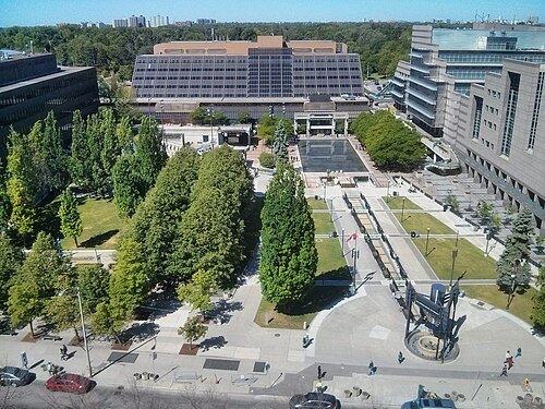 square
Mel Lastman Square
square in Toronto, Canada
Getting there Nearest stop or station North York Centre, about 2 min on foot OpenStreetMap
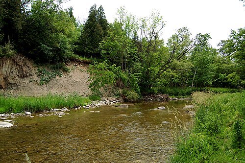 river
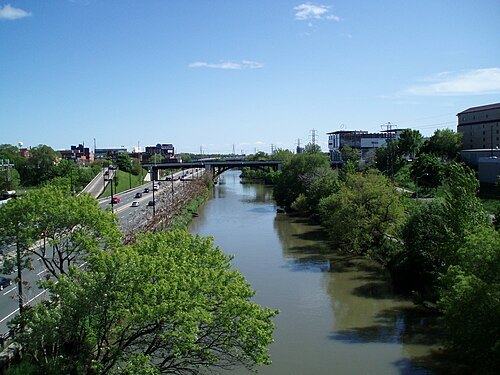
Rouge River
river in the Greater Toronto Area, Ontario, Canada
Getting there Nearest stop or station Gormley, about 17 min on foot OpenStreetMap
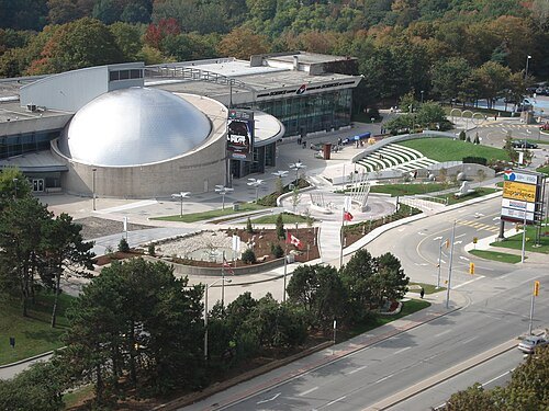
BuBZ at English Wikipedia / Public domain
science museumOntario Science Centre
science museum in Toronto, Canada
Getting there Nearest stop or station Don Valley, about 6 min on foot OpenStreetMap
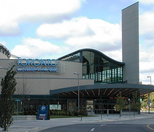 performing arts building
meridian arts centre
performing arts centre in North York, Ontario, Canada
Getting there Nearest stop or station North York Centre, about 5 min on foot OpenStreetMap
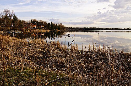
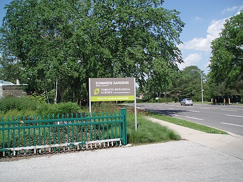
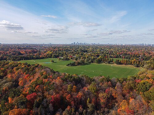
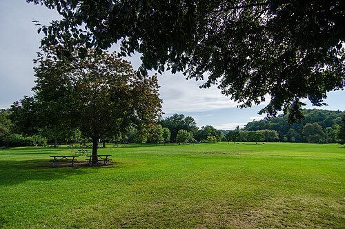
Jeff Hitchcock from Seattle, WA, USA / CC BY 2.0
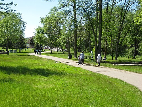
parkMorningside Park
park in Toronto, Canada
Getting there Nearest stop or station University of Toronto Scarborough, about 18 min on foot OpenStreetMap
 cemetery
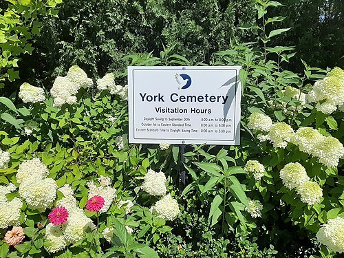
York Cemetery, Toronto
cemetery in Ontario, Canada
Getting there Nearest stop or station North York Centre, about 7 min on foot OpenStreetMap
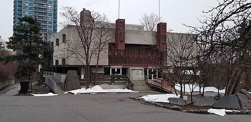 cultural center
Noor Cultural Centre
former cultural centre in Toronto, Ontario, Canada
Getting there Nearest stop or station Wynford, about 5 min on foot OpenStreetMap
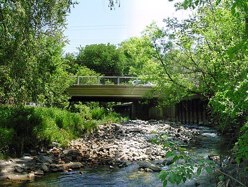 river
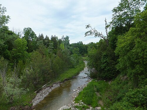
German Mills Creek
watercourse in Ontario, Canada
Getting there Nearest stop or station Old Cummer, about 15 min on foot OpenStreetMap
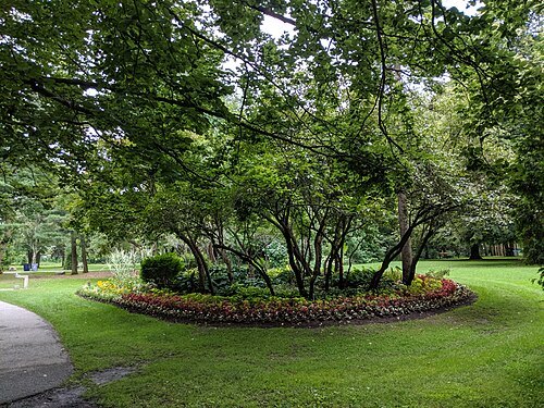
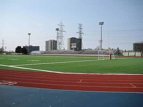
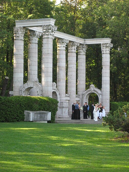 park
Guild Park and Gardens
Public park and building stonework conservatory in Toronto, Canada
Getting there Nearest stop or station Guildwood, about 17 min on foot OpenStreetMap
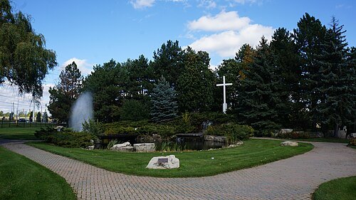 cemetery
Holy Cross Cemetery
cemetery in Thornhill, Ontario
Getting there Nearest stop or station Langstaff, about 12 min on foot OpenStreetMap
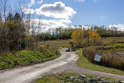
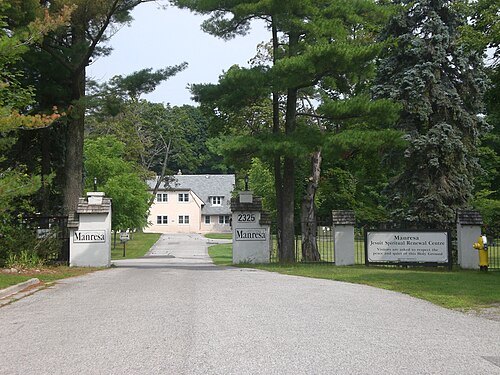

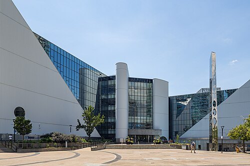 city hall
Scarborough Civic Centre
civic building in Ontario, Canada
Getting there Nearest stop or station Scarborough Centre Station, about 3 min on foot OpenStreetMap
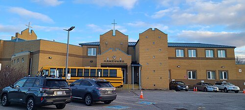
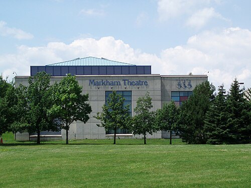
Raysonho @ Open Grid Scheduler / Grid Engine / Public domain
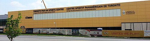 sports venue
Toronto Pan Am Sports Centre
sports centre in Toronto, Ontario, Canada
Getting there Nearest stop or station University of Toronto Scarborough, about 14 min on foot OpenStreetMap
 sports venue
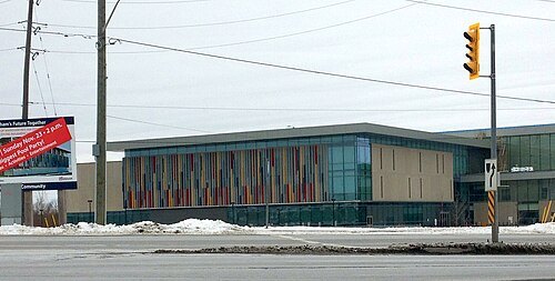
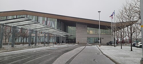
Markham Pan Am Centre
community centre in Markham, Canada
Getting there Nearest stop or station Unionville GO Station Bus Terminal, about 8 min on foot OpenStreetMap


Places to eat
- cafe
Pho Street Cafe
Food: cafe, vietnamese, chinese
Nothing here matches that. Clear a filter and try again.
Opening hours and tickets: OpenStreetMap contributors. Each one shows the day a volunteer last wrote it down, so check the official site before you set out.