Kingston: what to see and where to eat
Everything below comes from open data and each row says where it came from. We have not been to any of these places and we do not rank them.
Filters
Things to see
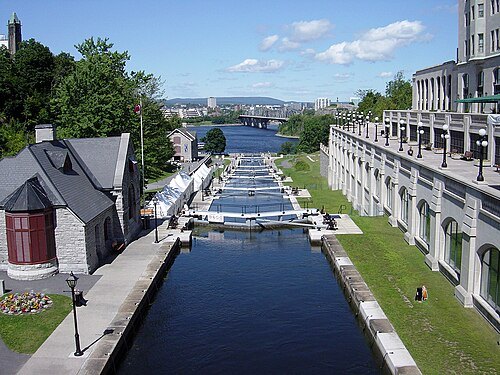 canal
Rideau Canal
canal between Ottawa and Kingston, Canada
Getting there Nearest stop or station Kingston Water Taxi, about 18 min on foot OpenStreetMap
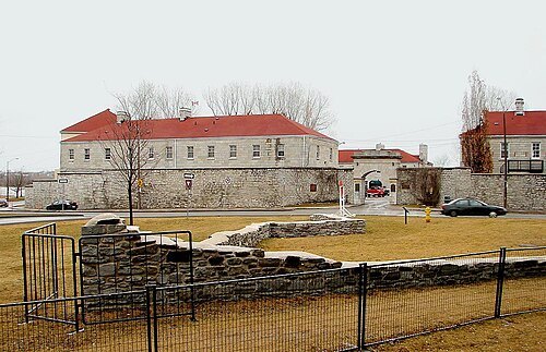 fort
Fort Frontenac
fort in Kingston, Ontario, Canada
Getting there Nearest stop or station 1000 Islands Cruises, about 6 min on foot OpenStreetMap
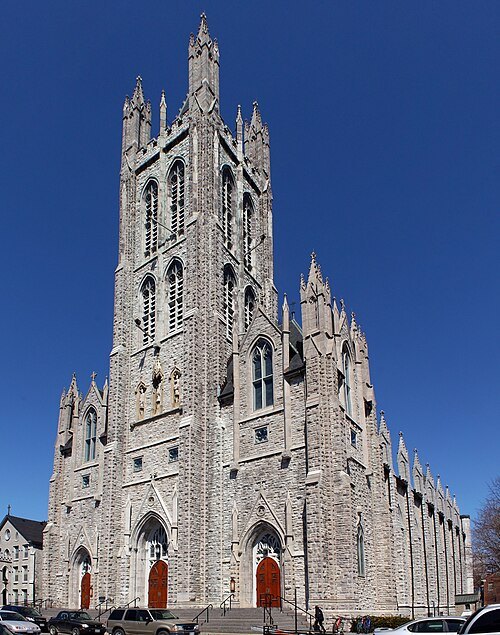
SoftwareSimian (changes by Rabanus Flavus) / CC BY 4.0
catholic cathedralCathedral of St. Mary of the Immaculate Conception
Catholic cathedral in Kingston, Ontario, Canada
Getting there Nearest stop or station Downtown Transfer Point, about 6 min on foot OpenStreetMap
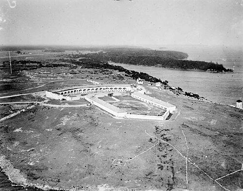
- maritime museum
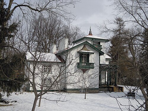
Kingston Marine Museum/Kingston Dry Dock
dry dock in Kingston, Canada
Getting there Nearest stop or station 1000 Islands Cruises, about 11 min on foot OpenStreetMap
Andrew MacKinnon / CC BY-SA 3.0
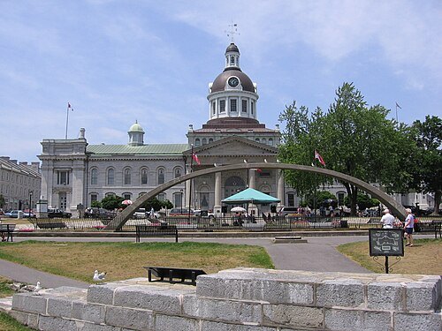
city hallKingston City Hall
city hall in Kingston, Canada
Getting there Nearest stop or station 1000 Islands Cruises, about 3 min on foot OpenStreetMap
Martin St-Amant / Public domain
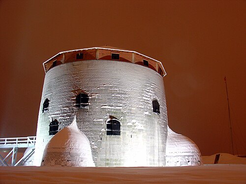
fortFort Frederick
fort in Kingston, Ontario
Getting there Nearest stop or station Kingston Water Taxi, about 11 min on foot OpenStreetMap
 military museum
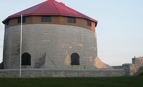
Murney Tower
Defensive tower built to protect Kingston, Ontario from American threats
Getting there Nearest stop or station Downtown Transfer Point, about 17 min on foot OpenStreetMap
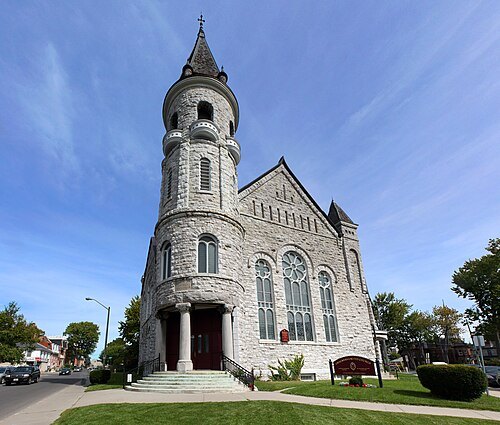 church building
Chalmers United Church
church in Kingston, Canada
Getting there Nearest stop or station Downtown Transfer Point, about 8 min on foot OpenStreetMap
- church building
Sydenham Street United Church
community centre and church building in Kingston, Ontario, Canada
Getting there Nearest stop or station Downtown Transfer Point, about 5 min on foot OpenStreetMap
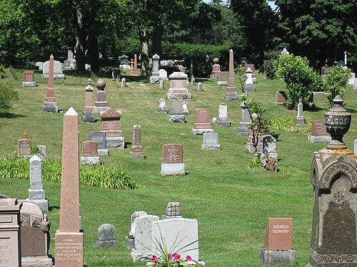 cemetery
Cataraqui Cemetery
cemetery in Kingston, Ontario, Canada
Getting there Nearest stop or station Kingston, about 14 min on foot OpenStreetMap
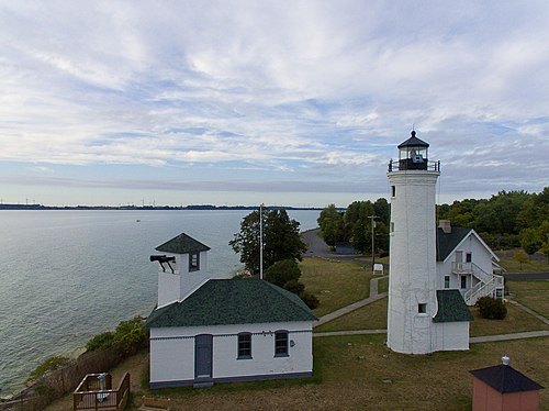
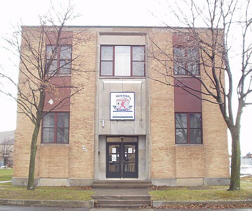
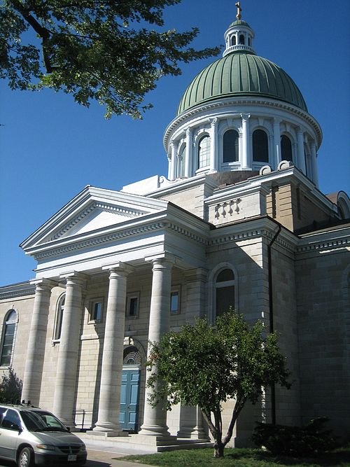 anglican or episcopal cathedral
St. George's Cathedral
church in Ontario, Canada
Getting there Nearest stop or station Downtown Transfer Point, about 4 min on foot OpenStreetMap
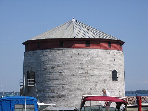 national historic site administered by parks canada
Shoal Tower
Martello Tower located in the harbour of Kingston, Ontario, Canada
Getting there Nearest stop or station 1000 Islands Cruises, about 2 min on foot OpenStreetMap
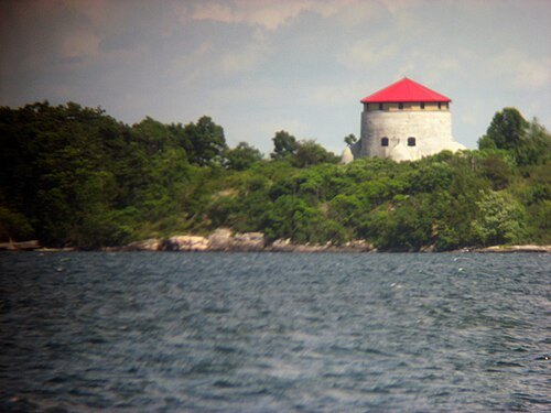
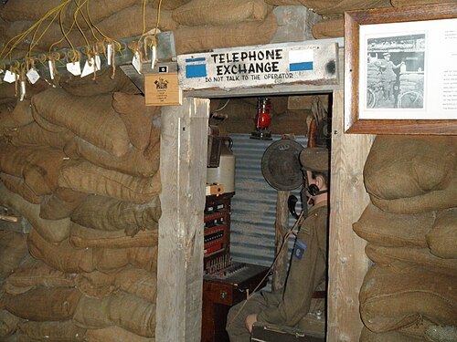
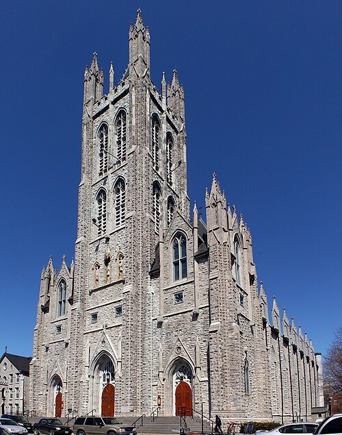
SoftwareSimian (changes by Rabanus Flavus) / CC BY 4.0
diocese of the catholic churchRoman Catholic Archdiocese of Kingston
Catholic ecclesiastical territory in Canada
Getting there Nearest stop or station Kingston Centre Transfer Point, about 9 min on foot OpenStreetMap
 river
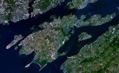
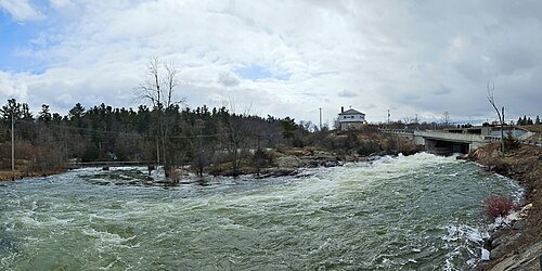
Cataraqui River
watercourse in Ontario, Canada
Getting there Nearest stop or station Kingston Water Taxi, about 8 min on foot OpenStreetMap
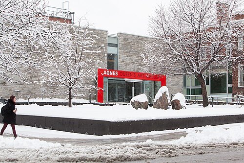 art museum
Agnes Etherington Art Centre
art museum in Ontario, Canada; part of Queen's University in Kingston
Getting there Nearest stop or station Downtown Transfer Point, about 18 min on foot OpenStreetMap
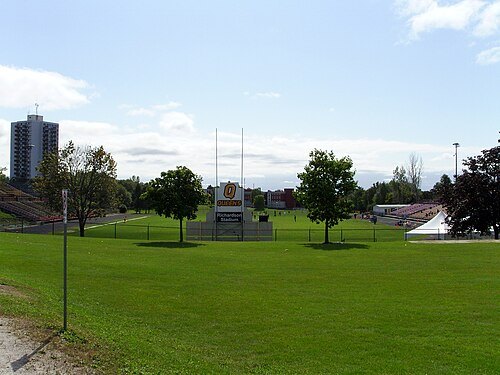 stadium
Richardson Memorial Stadium
Football stadium in Kingston, Ontario
Getting there Nearest stop or station St. Lawrence College Transfer Point, about 15 min on foot OpenStreetMap
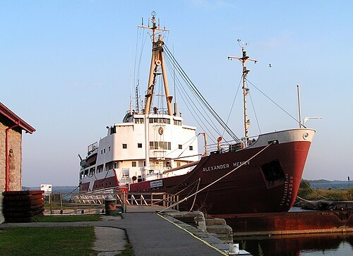
Diane Krauss (DianeAnna) / CC BY-SA 3.0
preserved watercraftCCGS Alexander Henry
former Canadian Coast Guard icebreaker
Getting there Nearest stop or station 1000 Islands Cruises, about 11 min on foot OpenStreetMap
- sports venue
Portsmouth Olympic Harbour
harbour in Kingston, Ontario, Canada
Getting there Nearest stop or station St. Lawrence College Transfer Point, about 16 min on foot OpenStreetMap
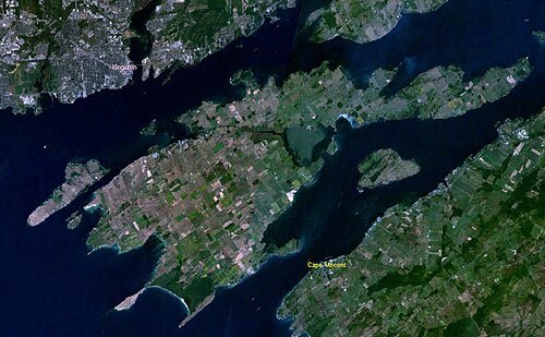
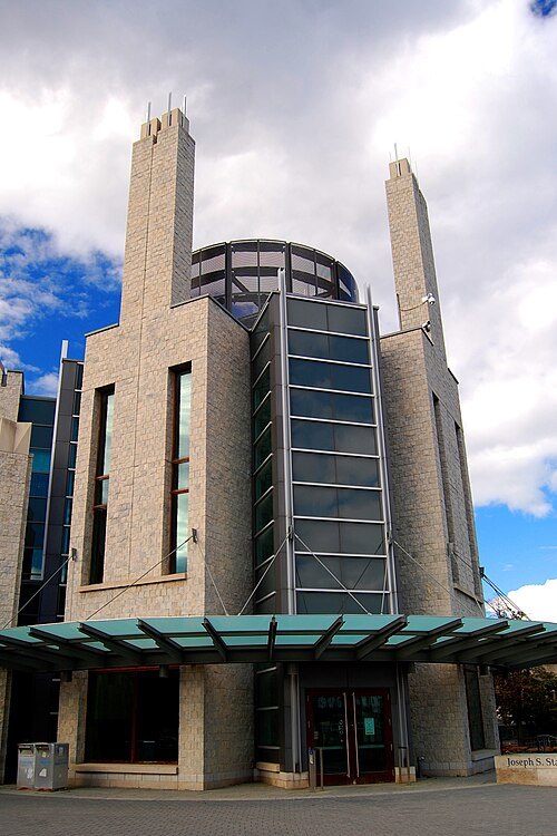 academic library
Joseph S. Stauffer Library
main social science and humanities library of Queen's University
Getting there Nearest stop or station Downtown Transfer Point, about 15 min on foot OpenStreetMap
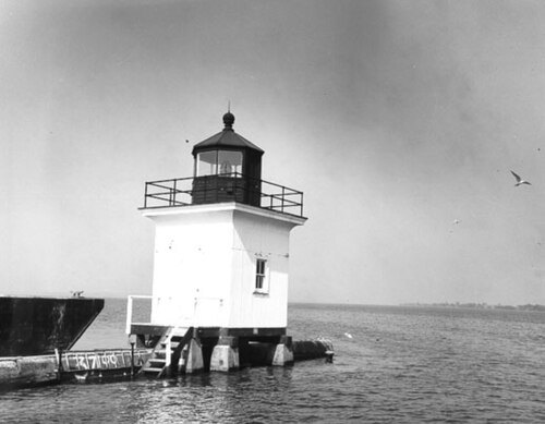
- bay
Anglin Bay
bay in Ontario, Canada
Getting there Nearest stop or station Downtown Transfer Point, about 15 min on foot OpenStreetMap
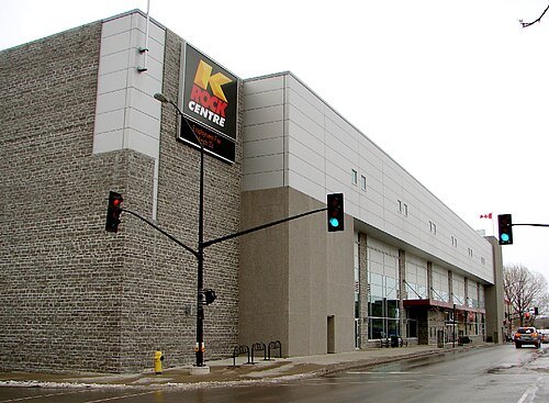 arena
Slush Puppie Place
Indoor arena in downtown Kingston, Ontario
Getting there Nearest stop or station 1000 Islands Cruises, about 6 min on foot OpenStreetMap
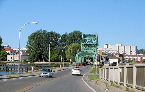 bridge
La Salle Causeway
bridge in Canada
Getting there Nearest stop or station Kingston Water Taxi, about 9 min on foot OpenStreetMap


Places to eat
- restaurant
Naan Stop Express
Food: indian
- restaurant
Wok-In
Food: cambodian
- cafe
Musiikki
Food: coffee shop
- restaurant
Pat's Restaurant
Food: cambodian, thai
- restaurant
Saigon Delights
Food: vietnamese
- cafe
Starbucks
Food: coffee shop
Nothing here matches that. Clear a filter and try again.
Opening hours and tickets: OpenStreetMap contributors. Each one shows the day a volunteer last wrote it down, so check the official site before you set out.