Edmonton: what to see and where to eat
Everything below comes from open data and each row says where it came from. We have not been to any of these places and we do not rank them.
Filters
Things to see
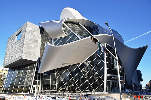 art museum
Art Gallery of Alberta
art museum in Edmonton, Alberta, Canada
Getting there Nearest stop or station Churchill, about 2 min on foot OpenStreetMap
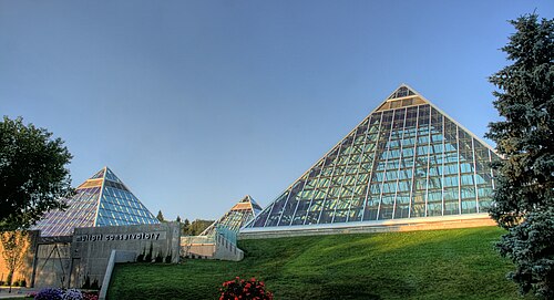
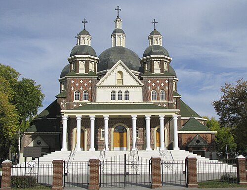 cathedral
St. Josaphat Cathedral
church building in Alberta, Canada
Getting there Nearest stop or station Kingsway/Royal Alex, about 13 min on foot OpenStreetMap
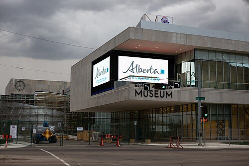 history museum
Royal Alberta Museum
History museum in Edmonton, Alberta
Getting there Nearest stop or station Churchill, about 5 min on foot OpenStreetMap
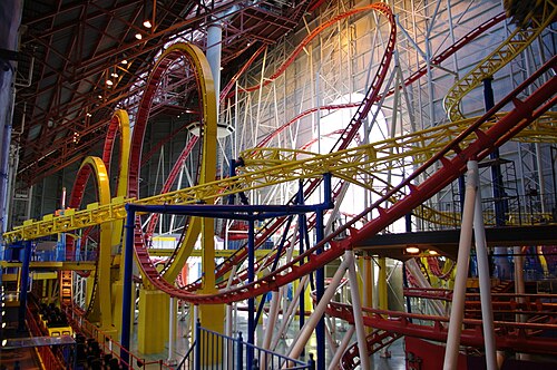 amusement park
Galaxyland
amusement park in West Edmonton Mall in Edmonton, Alberta, Canada
Getting there Nearest stop or station West Edmonton Mall Temporary Transit Centre, about 3 min on foot OpenStreetMap
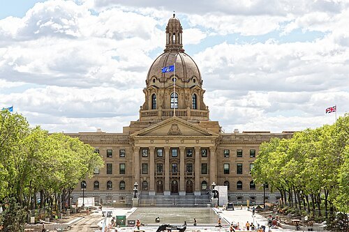 parliament building
Alberta Legislature Building
seat of the legislative assembly of Alberta
Getting there Nearest stop or station Government Centre Plaza, about 4 min on foot OpenStreetMap
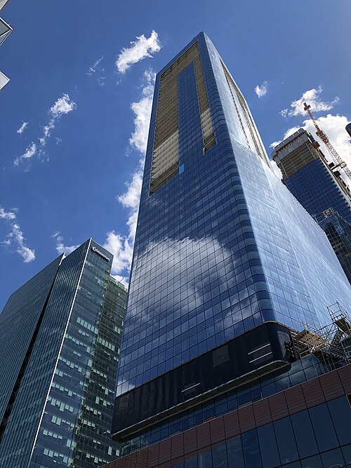 skyscraper
JW Marriott Edmonton Ice District & Residences
hotel/residential condo tower in Edmonton, Alberta, Canada
Getting there Nearest stop or station MacEwan, about 4 min on foot OpenStreetMap
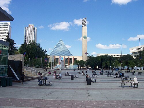
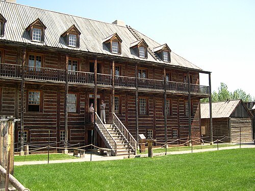
Dylan Kereluk from White Rock, Canada / CC BY 2.0
museumFort Edmonton Park
open air living history museum in Edmonton, Alberta, Canada
Getting there Nearest stop or station Egge's Barn, about 3 min on foot OpenStreetMap
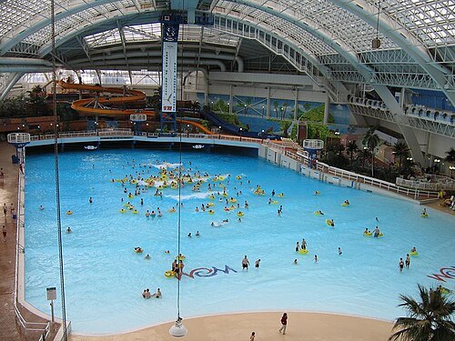
No machine-readable author provided. Vr1 assumed (based on copyright claims). / Public domain
water parkWorld Waterpark
building in Alberta, Canada
Getting there Nearest stop or station West Edmonton Mall Temporary Transit Centre, about 7 min on foot OpenStreetMap
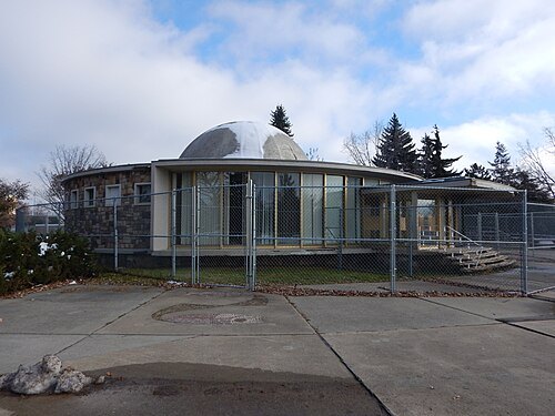 planetarium
Queen Elizabeth II Planetarium
planetarium in Edmonton, Alberta, Canada
Getting there Nearest stop or station Westmount Transit Centre, about 5 min on foot OpenStreetMap
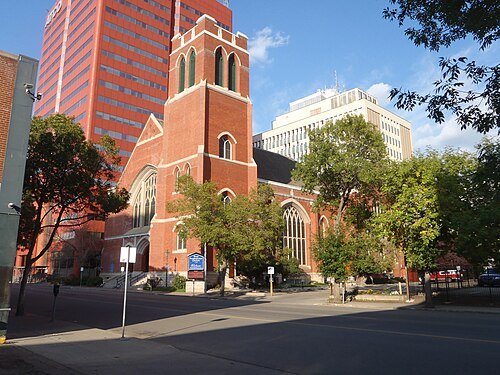
- park
Louise McKinney Riverfront Park
municipal park in Edmonton, Alberta, Canada
Getting there Nearest stop or station Quarters, about 7 min on foot OpenStreetMap
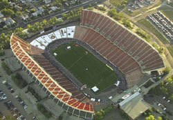
Chadslee at English Wikipedia / CC BY-SA 3.0
multi-purpose stadiumCommonwealth Stadium
stadium in Edmonton, Alberta
Getting there Nearest stop or station Stadium Transit Centre, about 4 min on foot OpenStreetMap
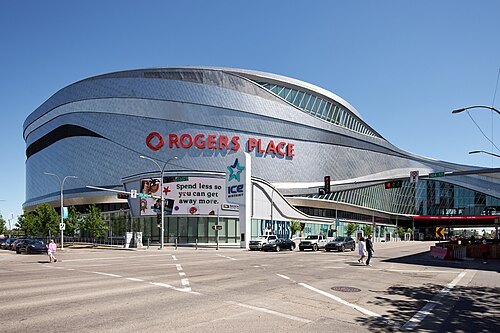 indoor arena
Rogers Place
multi-use indoor arena in Edmonton, Alberta, Canada
Getting there Nearest stop or station MacEwan, about 2 min on foot OpenStreetMap
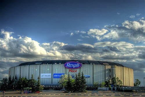
http://en.wikipedia.org/wiki/User:Johntwrl / Public domain
diocese of the catholic churchRoman Catholic Archdiocese of Edmonton
Catholic archdiocese in Canada
Getting there Nearest stop or station Jasper Plaza, about 7 min on foot OpenStreetMap
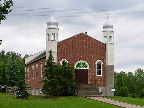 mosque
Al-Rashid Mosque
mosque in Canada
Getting there Nearest stop or station Park Gates, about 9 min on foot OpenStreetMap
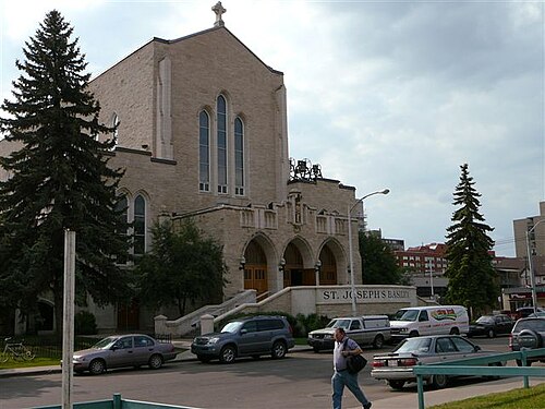
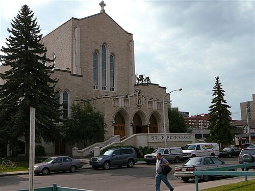
http://en.wikipedia.org/wiki/User:Johntwrl / Public domain
catholic cathedralSt. Joseph's Basilica, Edmonton
church in Alberta, Canada
Getting there Nearest stop or station Jasper Plaza, about 7 min on foot OpenStreetMap
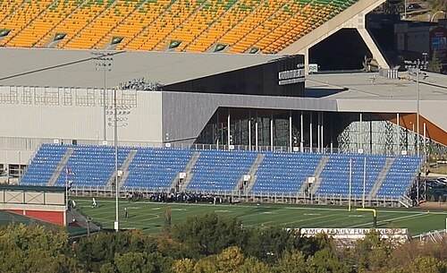 stadium
Clarke Stadium
soccer and football stadium in Edmonton, Alberta, Canada
Getting there Nearest stop or station Stadium Transit Centre, about 7 min on foot OpenStreetMap
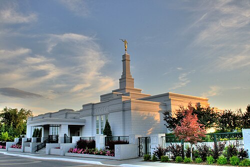
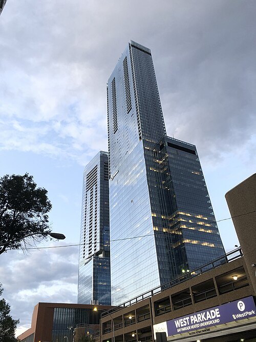 skyscraper
Stantec Tower
skyscraper in Edmonton, Alberta, Canada
Getting there Nearest stop or station 102 Street, about 3 min on foot OpenStreetMap
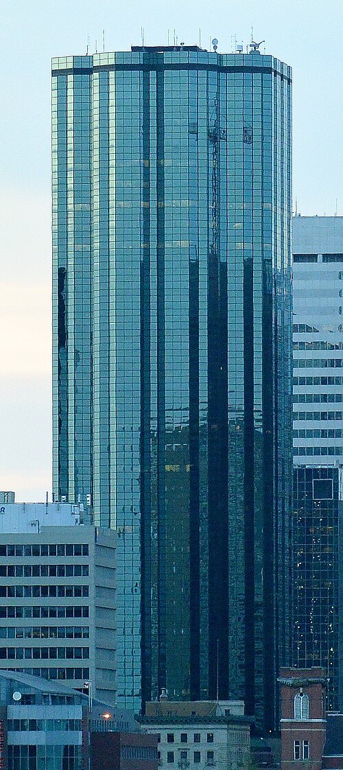 skyscraper
National Bank Centre
Canadain skyscraper
Getting there Nearest stop or station 102 Street, about 1 min on foot OpenStreetMap
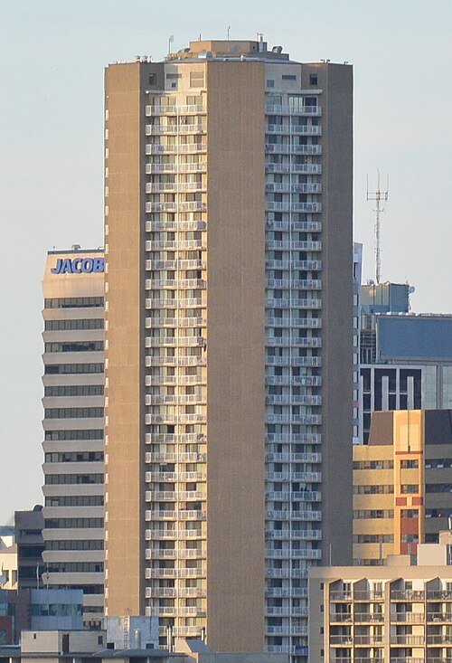 skyscraper
Edmonton House
hotel and apartment building in Edmonton, Canada
Getting there Nearest stop or station Red Arrow Edmonton, about 5 min on foot OpenStreetMap
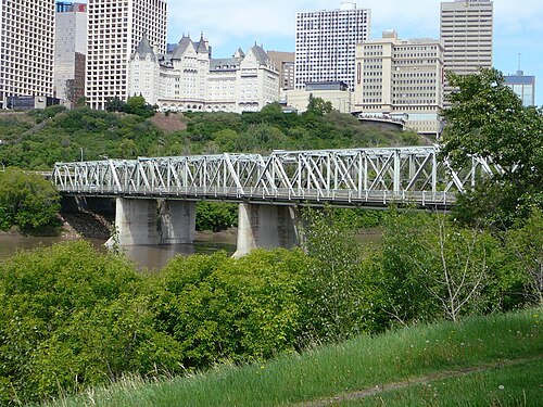
Johntwrl (talk) / CC BY-SA 3.0
truss bridgeLow Level Bridge
bridge in Edmonton, Alberta, Canada
Getting there Nearest stop or station Central, about 7 min on foot OpenStreetMap
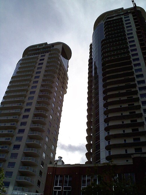 skyscraper
Icon Towers
skyscraper
Getting there Nearest stop or station Bay/Enterprise Square, about 2 min on foot OpenStreetMap
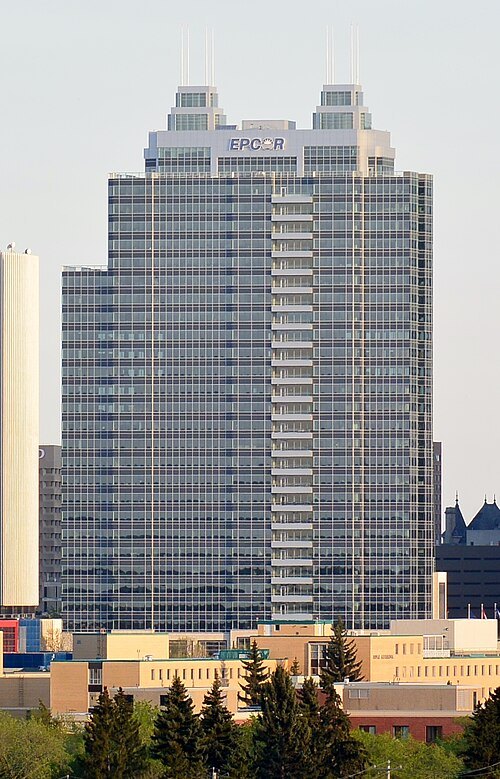 skyscraper
Epcor Tower
skyscraper in Edmonton, Alberta, Canada
Getting there Nearest stop or station MacEwan, about 6 min on foot OpenStreetMap
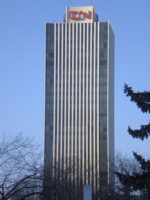 skyscraper
CN Tower
office tower in Edmonton, Canada
Getting there Nearest stop or station Churchill, about 6 min on foot OpenStreetMap
WinterforceMedia (WinterE229 19:13, 13 May 2008 (UTC)) / Public domain
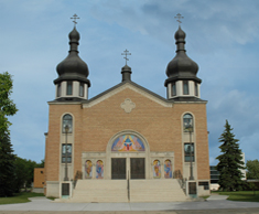 eastern orthodox cathedral
St. John Cathedral
church in Alberta, Canada
Getting there Nearest stop or station Kingsway/Royal Alex, about 6 min on foot OpenStreetMap
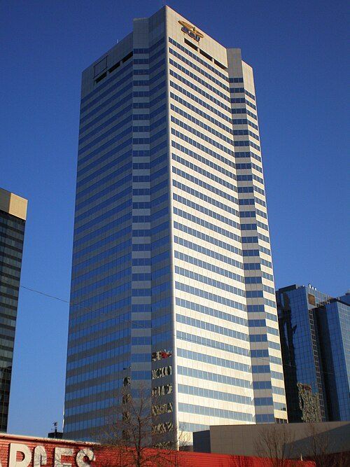 skyscraper
Bell Tower
building in Edmonton, Canada
Getting there Nearest stop or station 102 Street, about 3 min on foot OpenStreetMap
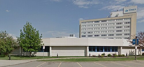
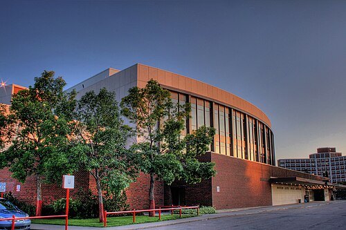
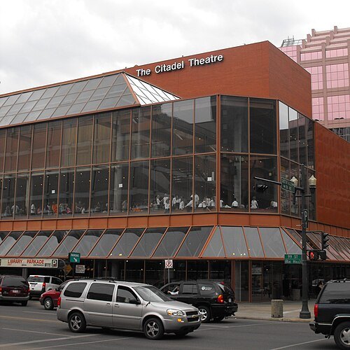 performing arts center
Citadel Theatre
performing arts centre in Edmonton, Canada
Getting there Nearest stop or station Churchill, about 3 min on foot OpenStreetMap
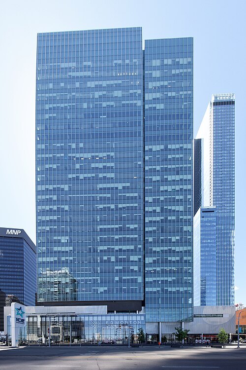 skyscraper
Edmonton Tower
office tower in Edmonton, Alberta, Canada
Getting there Nearest stop or station 102 Street, about 4 min on foot OpenStreetMap
WinterE229 WinterforceMedia / Public domain
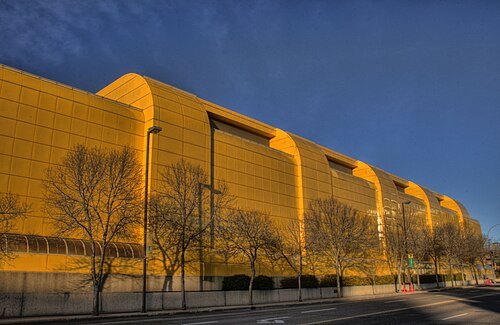
performing arts centerNorthern Alberta Jubilee Auditorium
performing arts centre in Edmonton, Alberta
Getting there Nearest stop or station Health Sciences/Jubilee, about 5 min on foot OpenStreetMap
WinterE229 WinterforceMedia / Public domain
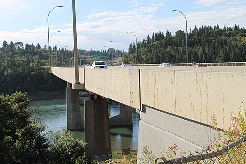
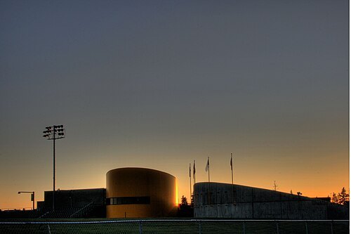
arenaUniversiade Pavilion
building in Alberta, Canada
Getting there Nearest stop or station Health Sciences/Jubilee, about 6 min on foot OpenStreetMap
WinterE229 WinterforceMedia / Public domain
sports venueFoote Field
stadium in Edmonton, Alberta, Canada
Getting there Nearest stop or station South Campus/Fort Edmonton Park, about 3 min on foot OpenStreetMap
- park system
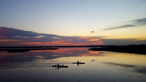
North Saskatchewan River valley parks system
urban park network in Edmonton, Alberta
Getting there Nearest stop or station South Campus/Fort Edmonton Park, about 20 min on foot OpenStreetMap
 skyscraper
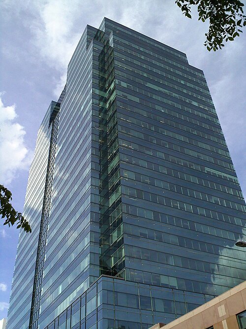
Commerce Place
skyscraper in Edmonton, Alberta, Canada
Getting there Nearest stop or station Central, about 3 min on foot OpenStreetMap
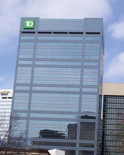
Kyle1278 at English Wikipedia / CC BY-SA 3.0
skyscraperTD Tower
office tower in Edmonton, Canada
Getting there Nearest stop or station 102 Street, about 2 min on foot OpenStreetMap
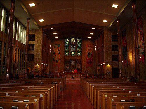
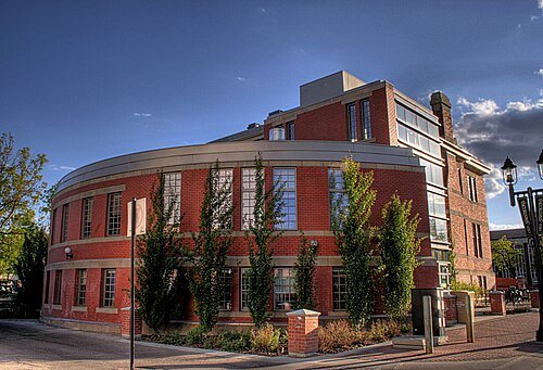
WinterE229 WinterforceMedia / Public domain
libraryEdmonton Public Library
publicly funded library system in the city of Edmonton, Canada
Getting there Nearest stop or station Churchill, about 1 min on foot OpenStreetMap
- public library
Stanley A. Milner Library
library in Alberta, Canada
Getting there Nearest stop or station Churchill, about 1 min on foot OpenStreetMap
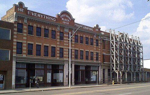
117Avenue (talk · contribs) / CC BY-SA 3.0
museumUkrainian Canadian Archives & Museum Of Alberta
museum in Edmonton, Alberta, Canada
Getting there Nearest stop or station Quarters, about 3 min on foot OpenStreetMap
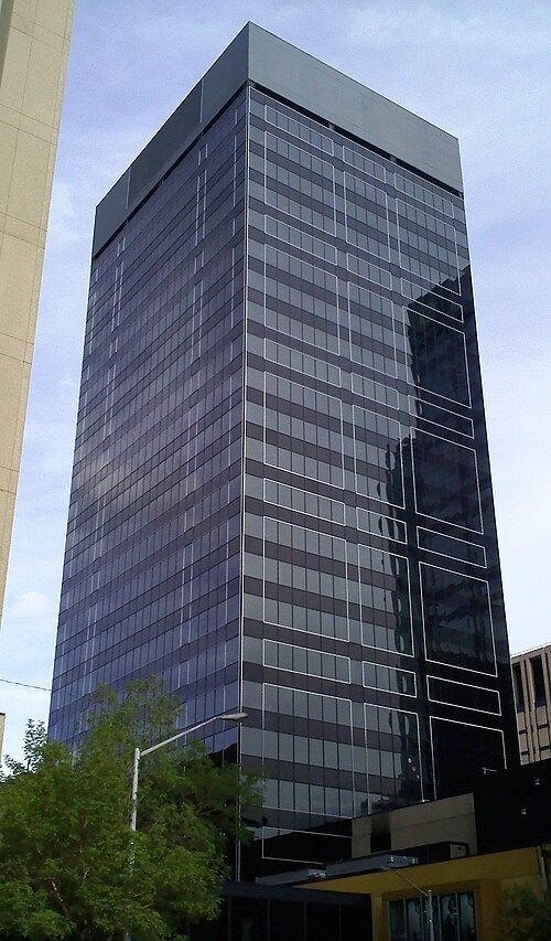 skyscraper
Oxford Tower
office tower in Edmonton, Alberta, Canada
Getting there Nearest stop or station 102 Street, about 3 min on foot OpenStreetMap
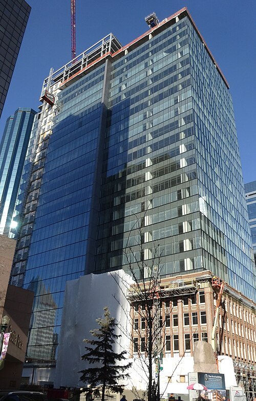 skyscraper
Enbridge Centre
building in Edmonton, Alberta, Canada, since 2016
Getting there Nearest stop or station 102 Street, about 2 min on foot OpenStreetMap
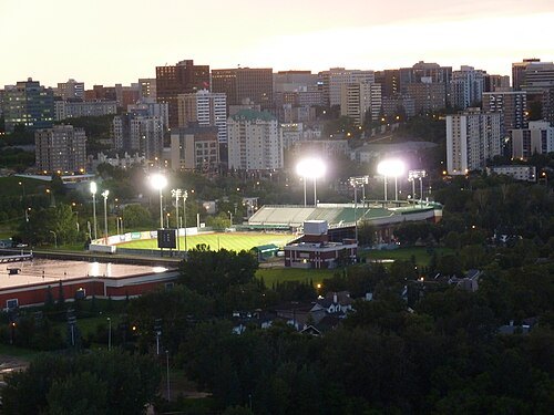
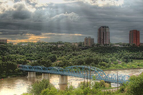
Winterforce Media (WinterE229) / CC0
road bridgeDawson Bridge
bridge in Edmonton, Alberta, Canada
Getting there Nearest stop or station Quarters, about 18 min on foot OpenStreetMap
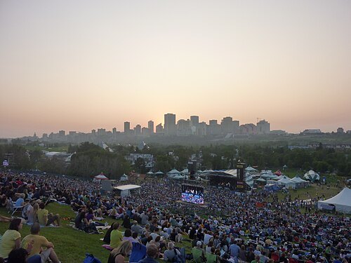 urban park
Gallagher Park
large park in Edmonton, Alberta, Canada
Getting there Nearest stop or station Muttart, about 9 min on foot OpenStreetMap


Places to eat
Nothing here matches that. Clear a filter and try again.
Opening hours and tickets: OpenStreetMap contributors. Each one shows the day a volunteer last wrote it down, so check the official site before you set out.