Calgary: what to see and where to eat
Everything below comes from open data and each row says where it came from. We have not been to any of these places and we do not rank them.
Filters
Things to see
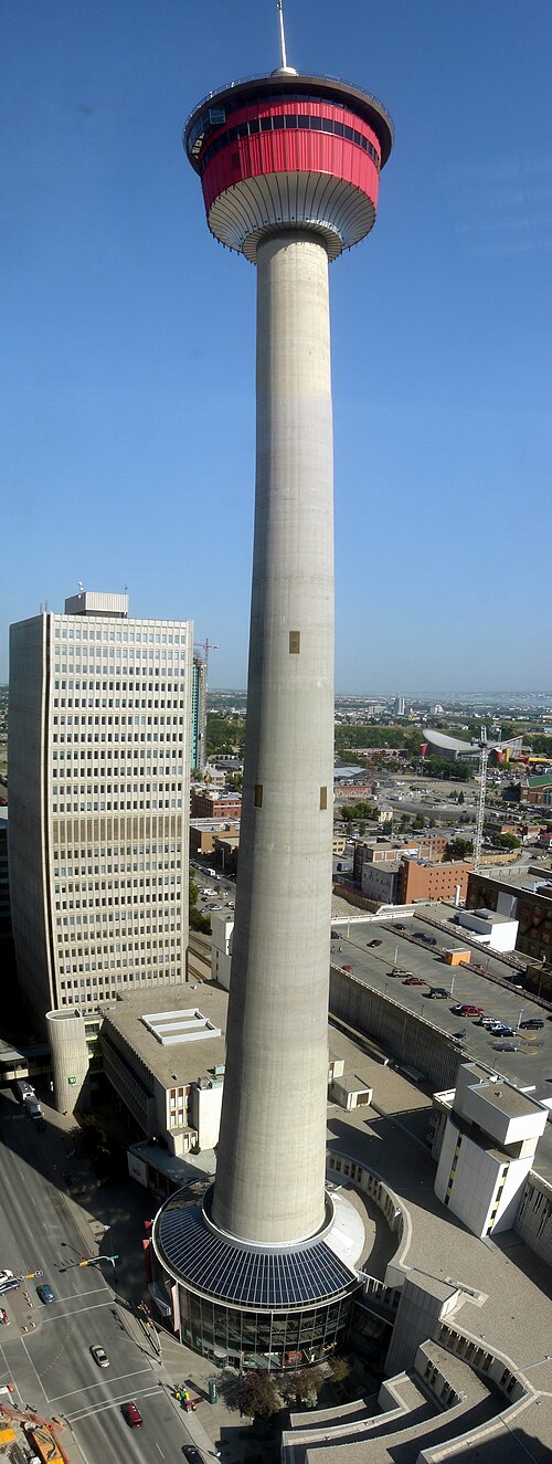
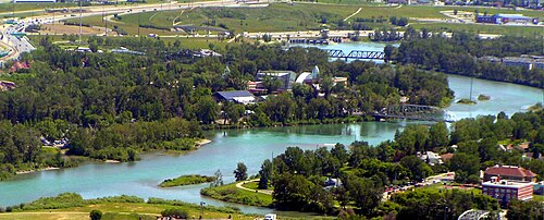
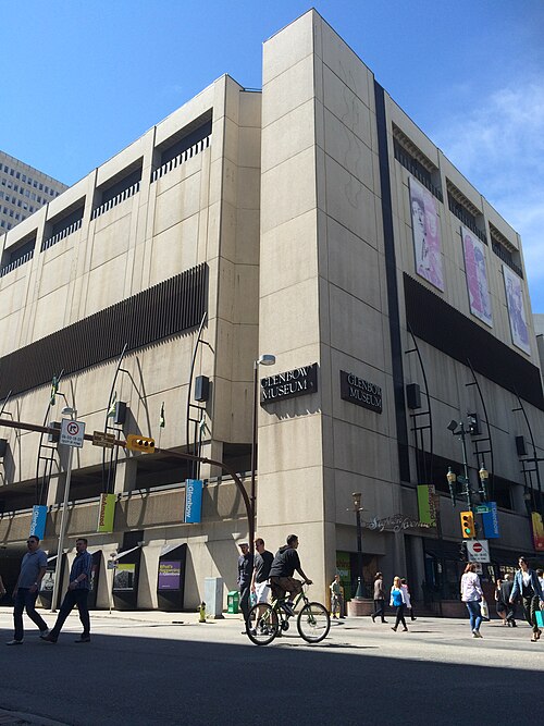 museum
Glenbow Museum
museum in Alberta, Canada
Getting there Nearest stop or station Centre Street, about 2 min on foot OpenStreetMap
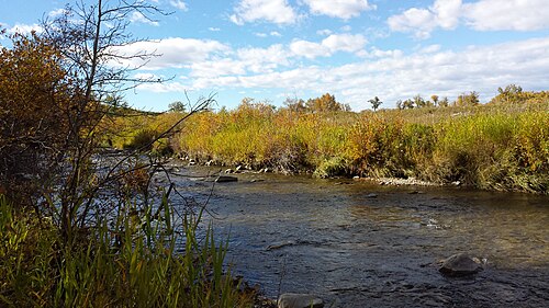
Donkey puncht123 / CC BY-SA 4.0
provincial park of canadaFish Creek Provincial Park
provincial park located in the southern part of Calgary, Alberta, Canada
Getting there Nearest stop or station Fish Creek–Lacombe, about 17 min on foot OpenStreetMap
No machine-readable author provided. Cszmurlo assumed (based on copyright claims). / CC BY 2.5
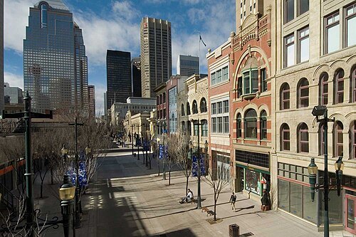
streetStephen Avenue
street in Calgary
Getting there Nearest stop or station Centre Street, about 2 min on foot OpenStreetMap
 park
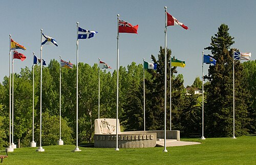
Confederation Park, Calgary
park in Calgary
Getting there Nearest stop or station SAIT/AUArts/Jubilee, about 19 min on foot OpenStreetMap
 military museum
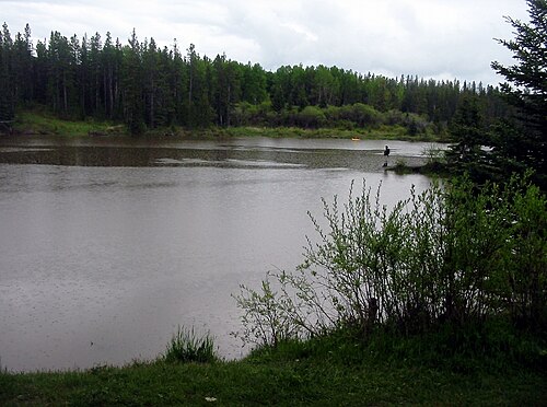
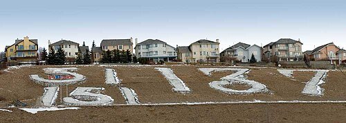
Battalion Park
Geoglyph site in Calgary, Alberta, Canada
Getting there Nearest stop or station Richmond, about 12 min on foot OpenStreetMap
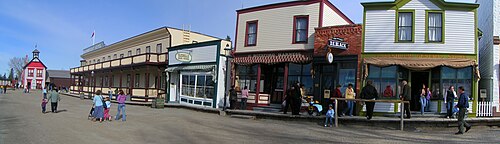 historical park
Heritage Park Historical Village
Historical park in Calgary, Alberta, Canada
Getting there Nearest stop or station Midnapore, about 1 min on foot OpenStreetMap
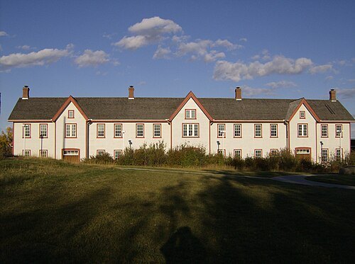 military museum
The Confluence
building in Alberta, Canada
Getting there Nearest stop or station Bridgeland/Memorial, about 9 min on foot OpenStreetMap
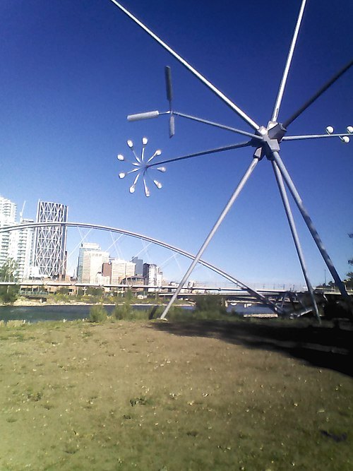
KatherineCraw 18 / CC BY-SA 4.0
islandSt. Patrick's Island Park
island in Alberta, Canada
Getting there Nearest stop or station Bridgeland/Memorial, about 3 min on foot OpenStreetMap
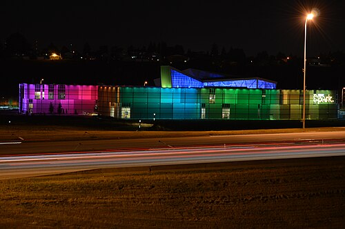
CharlesAPhillips63 / CC BY-SA 4.0
science museumTelus Spark Science Centre
science museum in Calgary, Alberta
Getting there Nearest stop or station Zoo, about 11 min on foot OpenStreetMap
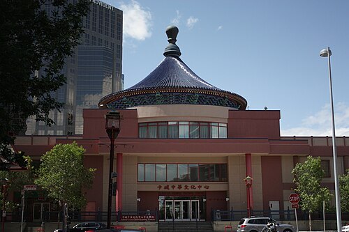 cultural center
Calgary Chinese Cultural Centre
building in Calgary, Alberta, Canada
Getting there Nearest stop or station 1 Street Southwest, about 9 min on foot OpenStreetMap
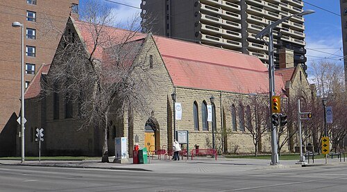 anglican or episcopal cathedral
Cathedral Church of the Redeemer
cathedral in Calgary, Alberta
Getting there Nearest stop or station Centre Street, about 2 min on foot OpenStreetMap
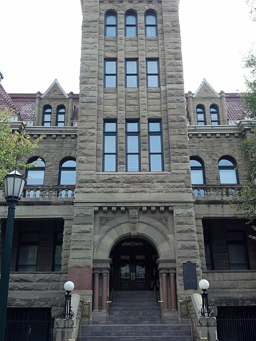 city hall
Calgary City Hall
building in Alberta, Canada
Getting there Nearest stop or station City Hall/Bow Valley College, about 1 min on foot OpenStreetMap
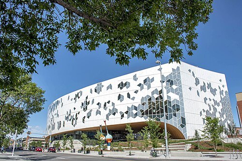 library building
Central Library
central branch of the Calgary Public Library in Calgary, Alberta
Getting there Nearest stop or station City Hall/Bow Valley College, about 3 min on foot OpenStreetMap
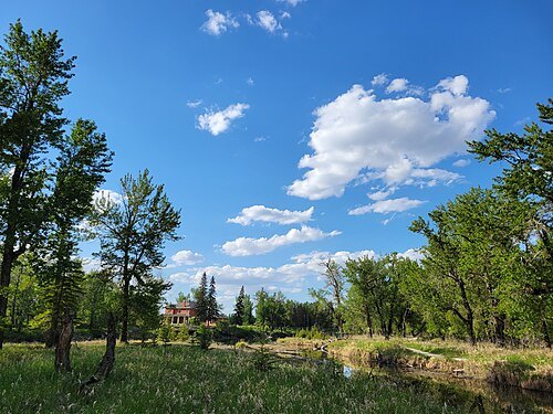 migratory bird sanctuary of canada
Inglewood Migratory Bird Sanctuary
migratory bird sanctuary in Calgary, Alberta
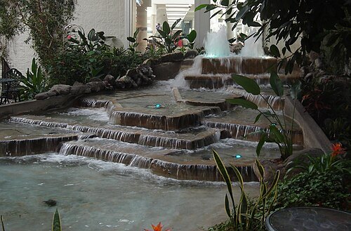 botanical garden
Devonian Gardens
botanical garden in Calgary, Alberta, Canada
Getting there Nearest stop or station 4 Street Southwest, about 1 min on foot OpenStreetMap
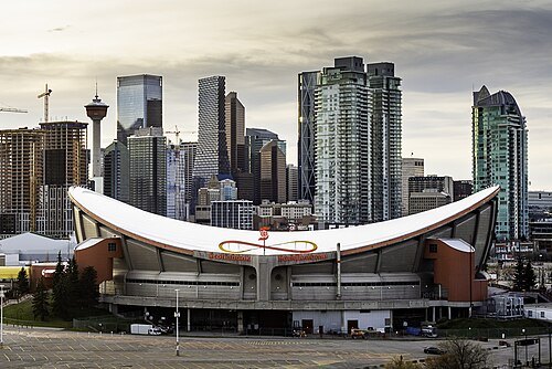 arena
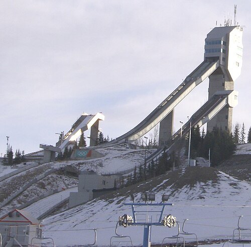
Scotiabank Saddledome
multi-use indoor arena in Calgary, Alberta, Canada
Getting there Nearest stop or station North Station, about 6 min on foot OpenStreetMap
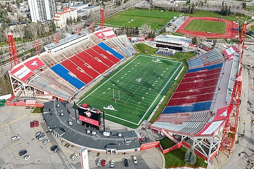 stadium
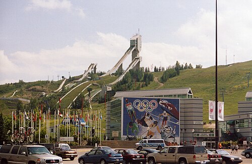
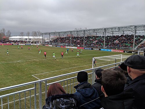
McMahon Stadium
stadium at Calgary, Alberta Canada
Getting there Nearest stop or station Banff Trail, about 6 min on foot OpenStreetMap
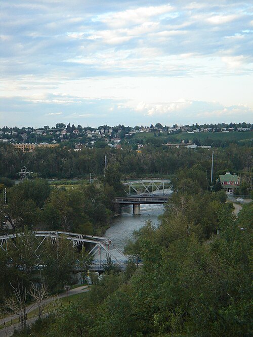
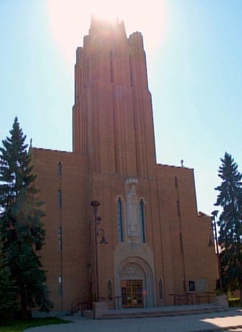
Dr Haggis at en.wikipedia / CC BY-SA 3.0
diocese of the catholic churchRoman Catholic Diocese of Calgary
Catholic ecclesiastical territory in Canada
Getting there Nearest stop or station 3 Street Southwest, about 6 min on foot OpenStreetMap
Robert Thivierge (User:Thivierr) / CC BY-SA 3.0
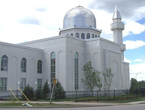
mosqueBaitun Nur Mosque
mosque in Calgary, Canda
Getting there Nearest stop or station McKnight-Westwinds, about 14 min on foot OpenStreetMap
 skyscraper
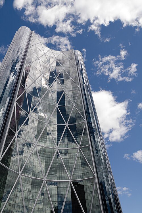
The Bow
1,700,000 sq ft office building in downtown Calgary, Alberta, Canada
Getting there Nearest stop or station Centre Street, about 2 min on foot OpenStreetMap
 skyscraper
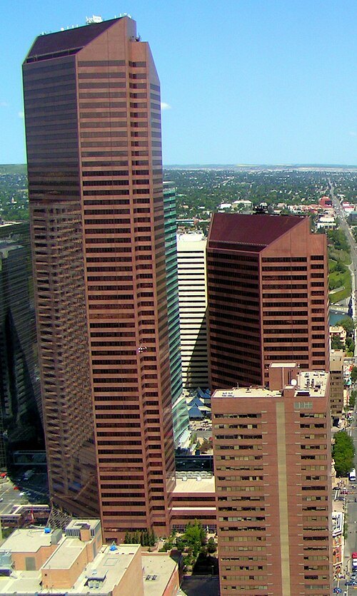
Suncor Energy Centre
Office building complex in Calgary, Alberta
Getting there Nearest stop or station 1 Street Southwest, about 3 min on foot OpenStreetMap
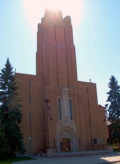
Dr Haggis at en.wikipedia / CC BY-SA 3.0
cathedralSt. Mary's Cathedral
cathedral in Alberta, Canada
Getting there Nearest stop or station Victoria Park/Stampede, about 9 min on foot OpenStreetMap
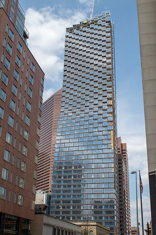 skyscraper
Telus Sky
building in Alberta, Canada
Getting there Nearest stop or station 1 Street Southwest, about 1 min on foot OpenStreetMap
No machine-readable author provided. Scott5114 assumed (based on copyright claims). / Public domain
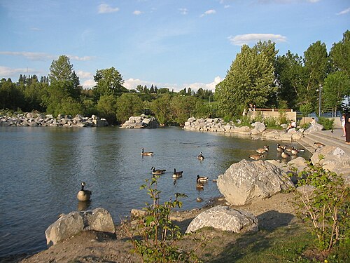
islandPrince's Island Park
park in Calgary, Alberta, Canada
Getting there Nearest stop or station Sunnyside, about 7 min on foot OpenStreetMap
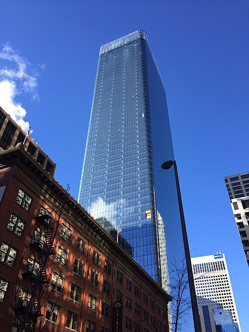 skyscraper
Brookfield Place
Skyscraper in Calgary, Alberta, Canada
Getting there Nearest stop or station 1 Street Southwest, about 2 min on foot OpenStreetMap
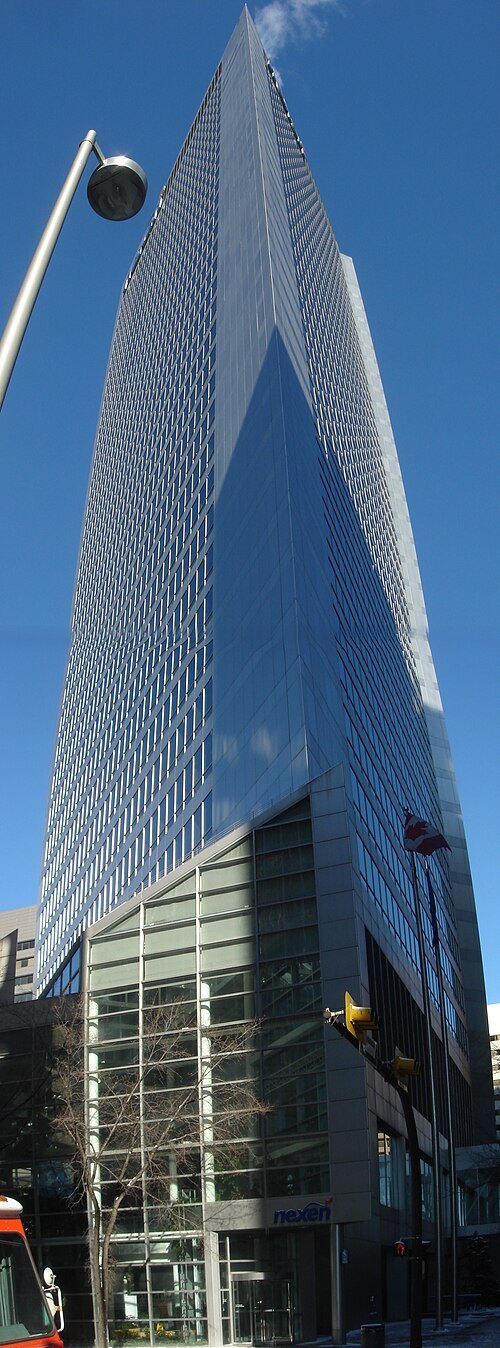
Qyd (talk · contribs) / CC BY 2.5
skyscraperNexen Building, Calgary
building in Alberta, Canada
Getting there Nearest stop or station 8 Street Southwest, about 1 min on foot OpenStreetMap
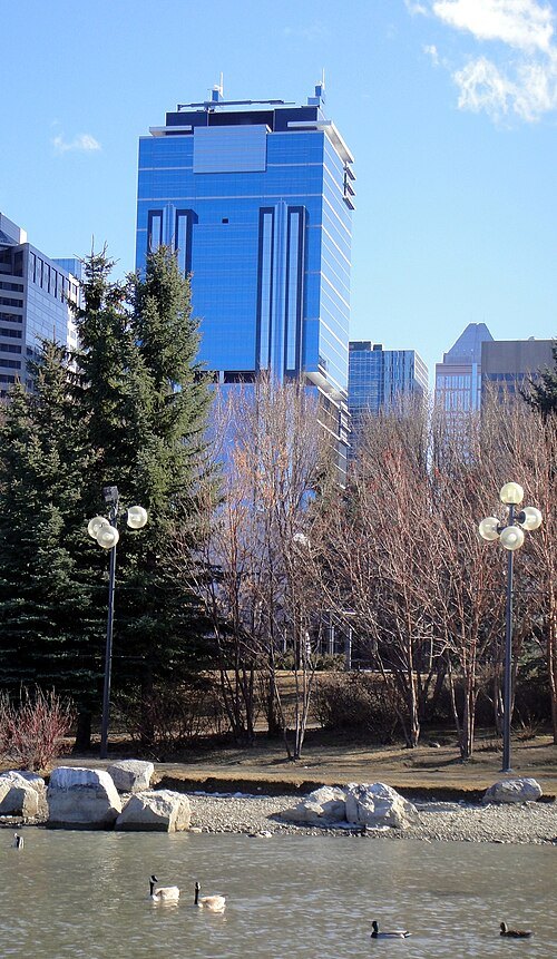 skyscraper
Jamieson Place
skyscraper
Getting there Nearest stop or station 3 Street Southwest, about 5 min on foot OpenStreetMap
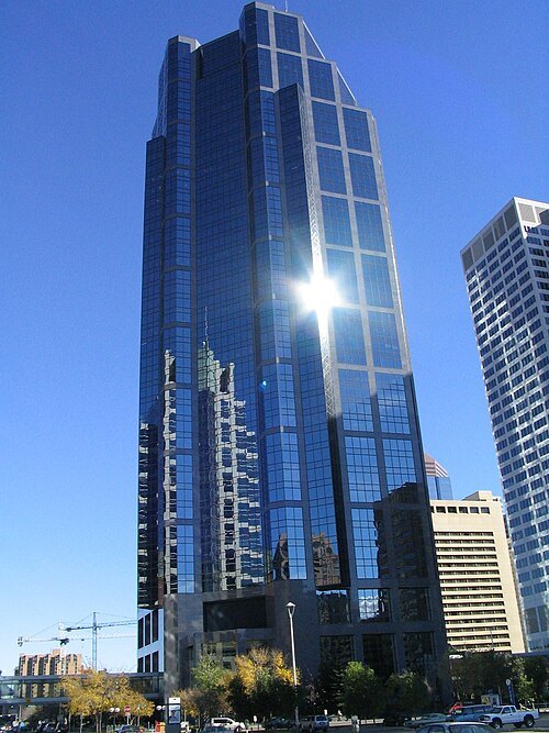
Surrealplaces at English Wikipedia / CC BY-SA 3.0
skyscraperCanterra Tower
skyscraper
Getting there Nearest stop or station 4 Street Southwest, about 8 min on foot OpenStreetMap
No machine-readable author provided. Qyd assumed (based on copyright claims). / CC BY-SA 3.0
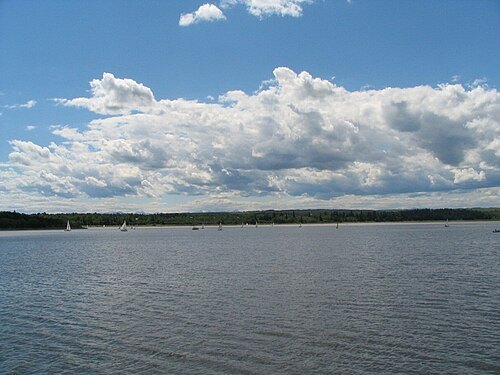
reservoirGlenmore Reservoir
reservoir in Alberta, Canada
Getting there Nearest stop or station S.S. Moyie Historical Paddlewheeler, about 7 min on foot OpenStreetMap
Surrealplaces at English Wikipedia / CC BY-SA 3.0
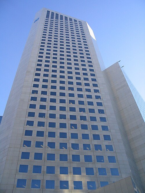
skyscraperFirst Canadian Centre
skyscraper
Getting there Nearest stop or station 3 Street Southwest, about 1 min on foot OpenStreetMap
Qyd (talk · contribs) / CC BY 2.5
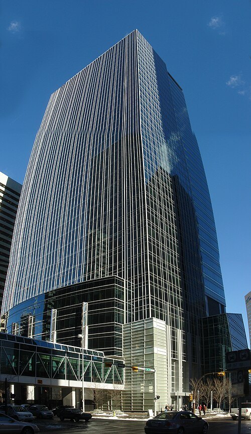
skyscraperTC Energy Tower
building in Alberta, Canada
Getting there Nearest stop or station 1 Street Southwest, about 4 min on foot OpenStreetMap
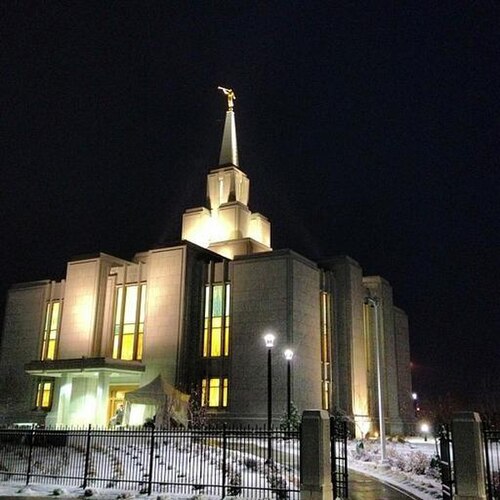
Unknown authorUnknown author / CC0
templeCalgary Alberta Temple
temple of the LDS Church in Alberta, Canada
Getting there Nearest stop or station Tuscany, about 11 min on foot OpenStreetMap
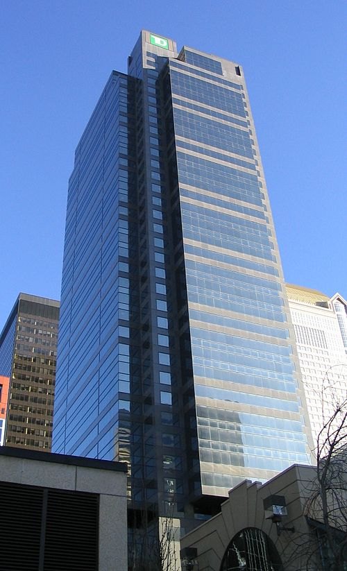
Surrealplaces at English Wikipedia / CC BY-SA 3.0
skyscraperTD Canada Trust Tower
office tower in Calgary, Alberta
Getting there Nearest stop or station 3 Street Southwest, about 1 min on foot OpenStreetMap
- sports venue
CalgaryNEXT
Planned arena in Alberta, Canada
Getting there Nearest stop or station Victoria Park/Stampede, about 7 min on foot OpenStreetMap
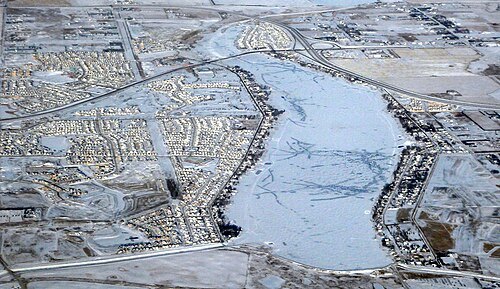
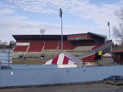 stadium
Foothills Stadium
stadium in Calgary, Alberta
Getting there Nearest stop or station Banff Trail, about 7 min on foot OpenStreetMap
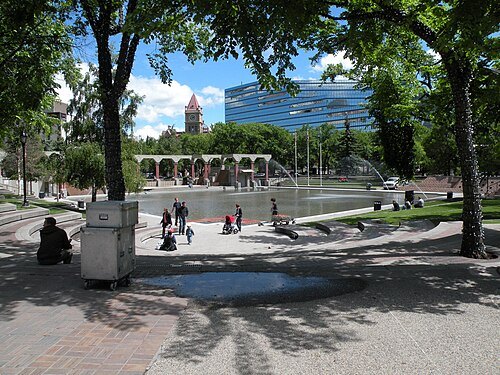 urban park
Olympic Plaza
park in Calgary, Alberta, Canada
Getting there Nearest stop or station City Hall/Bow Valley College, about 3 min on foot OpenStreetMap
- diocese of the anglican church of canada
Anglican Diocese of Calgary
Anglican diocese in Canada
Getting there Nearest stop or station Centre Street, about 2 min on foot OpenStreetMap
- opera company
Calgary Opera
Canadian opera company
Getting there Nearest stop or station 8 Street Southwest, about 12 min on foot OpenStreetMap
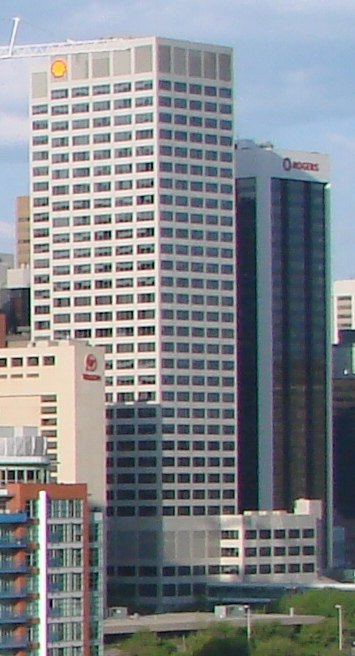 skyscraper
Shell Centre
skyscraper in Calgary, Alberta
Getting there Nearest stop or station 4 Street Southwest, about 6 min on foot OpenStreetMap
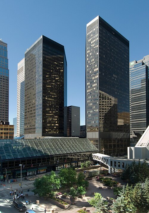
No machine-readable author provided. Cszmurlo assumed (based on copyright claims). / CC BY 2.5
tower blockDome Tower
building in Alberta, Canada
Getting there Nearest stop or station 3 Street Southwest, about 1 min on foot OpenStreetMap
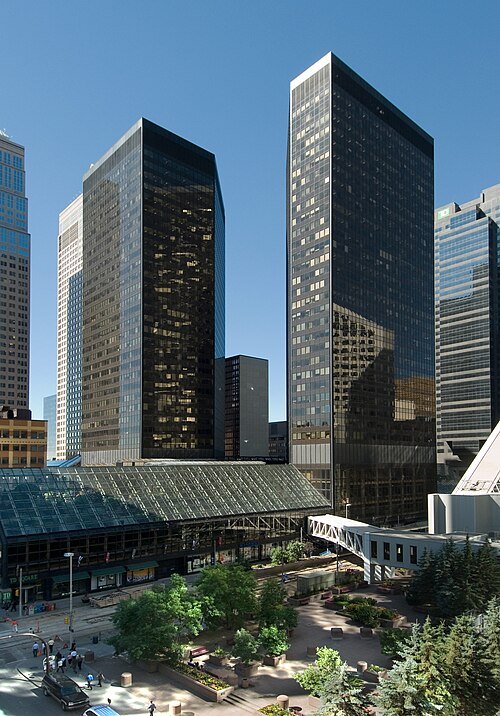
No machine-readable author provided. Cszmurlo assumed (based on copyright claims). / CC BY 2.5
skyscraperHome Oil Tower, Calgary
building in Alberta, Canada
Getting there Nearest stop or station 3 Street Southwest, about 1 min on foot OpenStreetMap
- church college
Ambrose University
seminary in Calgary, Canada
Getting there Nearest stop or station 69 Street, about 9 min on foot OpenStreetMap
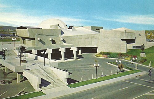 planetarium
Centennial Planetarium
former planetarium in Calgary, Alberta, Canada
Getting there Nearest stop or station Downtown West–Kerby, about 2 min on foot OpenStreetMap
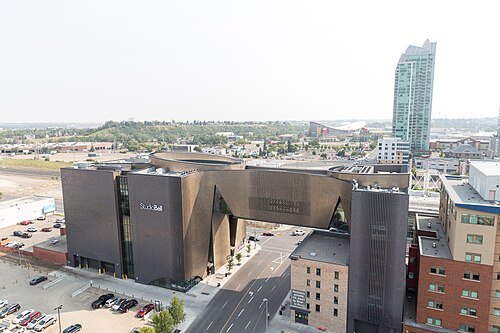
Mack Male from Edmonton, AB, Canada / CC BY-SA 2.0
performing arts buildingStudio Bell
performing arts building in Calgary, Alberta, Canada
Getting there Nearest stop or station City Hall/Bow Valley College, about 5 min on foot OpenStreetMap
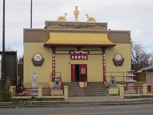 buddhist temple
Pai Yuin Temple
Buddhist centre in Canada
Getting there Nearest stop or station Sunnyside, about 20 min on foot OpenStreetMap
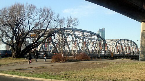 bridge
Reconciliation Bridge
bridge in Calgary, Alberta, Canada
Getting there Nearest stop or station City Hall/Bow Valley College, about 8 min on foot OpenStreetMap
- aviation museum
Canada's Aviation Hall of Fame


Places to eat
Nothing here matches that. Clear a filter and try again.
Opening hours and tickets: OpenStreetMap contributors. Each one shows the day a volunteer last wrote it down, so check the official site before you set out.