Abbotsford: what to see and where to eat

Everything below comes from open data and each row says where it came from. We have not been to any of these places and we do not rank them.

153,524 people live here

Nearest airport: Abbotsford International Airport (YXX), about 3.54 km from the centre

Distances are straight-line and the walking time is an estimate, not a route.

Filters

Things to see

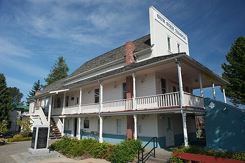
  • Gur Sikh Temple

    Jacobsimmonds / CC BY-SA 3.0

    gurdwara

    Gur Sikh Temple

    gurdwara

    09:00-17:00 OpenStreetMap, written 2023-09-12

    Admission Not checked

    Getting there Nearest stop or station Bourquin Exchange, about 5 min on foot OpenStreetMap
    Map

  • zoo

    Greater Vancouver Zoo

    zoo in Langley, British Columbia, Canada

    Mo-Su 09:00-17:00 OpenStreetMap, written 2023-08-17

    Ticket needed OpenStreetMap, written 2023-08-17

    About 12 km from the city centre

    Map

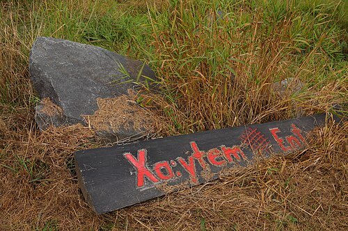
  • Xá:ytem

    Kyle Lawrence / CC BY-SA 3.0

    archaeological site

    Xá:ytem

    historic site in British Columbia, Canada

    Opening hours Not checked

    Admission Not checked

    About 12 km from the city centre

    Map

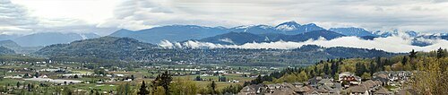
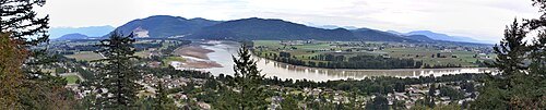
  • Fraser Valley

    Purpy Pupple / CC BY-SA 3.0

    valley

    Fraser Valley

    region of the Fraser River basin in southwestern British Columbia downstream of the Fraser Canyon
    Opening hours Not checked

    Admission Not checked

    Map

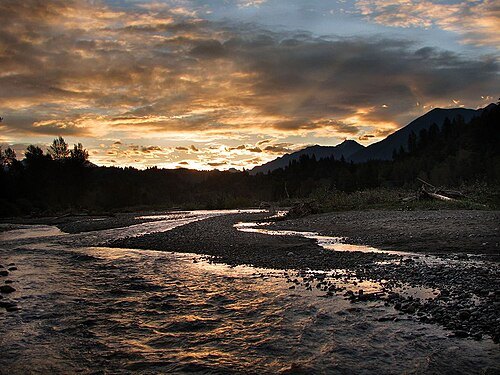
  • Vedder River

    No machine-readable author provided. Mycologist~commonswiki assumed (based on copyright claims). / CC BY-SA 2.5

    river

    Vedder River

    river in Washington state, US and British Columbia, Canada

    Opening hours Not checked

    Admission Not checked

    About 19 km from the city centre

    Map

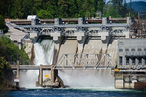
  • Stave River

    Jeff Hitchcock from Seattle, WA, USA / CC BY 2.0

    river

    Stave River

    watercourse in British Columbia, Canada

    Opening hours Not checked

    Admission Not checked

    About 14 km from the city centre

    Map

  • mountain

    Sumas Mountain

    mountain in United States of America

    Opening hours Not checked

    Admission Not checked

    About 17 km from the city centre

    Map

  • reservoir

    Hayward Lake

    lake in Fraser Valley Regional District, British Columbia, Canada

    Opening hours Not checked

    Admission Not checked

    About 17 km from the city centre

    Map

  • mountain

    Dewdney Peak

    mountain in British Columbia, Canada

    Opening hours Not checked

    Admission Not checked

    About 18 km from the city centre

    Map

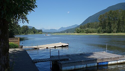
  • Hatzic Lake

    Ken Eckert / CC BY-SA 4.0

    lake

    Hatzic Lake

    lake in British Columbia, Canada

    Opening hours Not checked

    Admission Not checked

    About 15 km from the city centre

    Map

  • lake

    Chadsey Lake

    lake in British Columbia, Canada

    Opening hours Not checked

    Admission Not checked

    About 16 km from the city centre

    Map

  • Sumas Mountain

    Mimigu at English Wikipedia / CC BY 3.0

    mountain

    Sumas Mountain

    mountain in British Columbia, Canada

    Opening hours Not checked

    Admission Not checked

    About 12 km from the city centre

    Map

  • lake

    Mill Lake

    lake in Fraser Valley Regional District, British Columbia, Canada

    Opening hours Not checked

    Admission Not checked

    Getting there Nearest stop or station Bourquin Exchange, about 7 min on foot OpenStreetMap
    Map

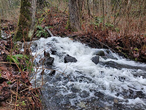
  • D'Herbomez Creek

    waferboard / CC BY 2.0

    river

    D'Herbomez Creek

    watercourse in British Columbia, Canada

    Opening hours Not checked

    Admission Not checked

    About 10 km from the city centre

    Map

  • lake

    Silvermere Lake

    lake in British Columbia, Canada

    Opening hours Not checked

    Admission Not checked

    About 16 km from the city centre

    Map

  • river island

    Matsqui Island

    island in British Columbia, Canada

    Opening hours Not checked

    Admission Not checked

    Map

  • mountain

    Sumas Peak

    mountain in British Columbia, Canada

    Opening hours Not checked

    Admission Not checked

    About 17 km from the city centre

    Map

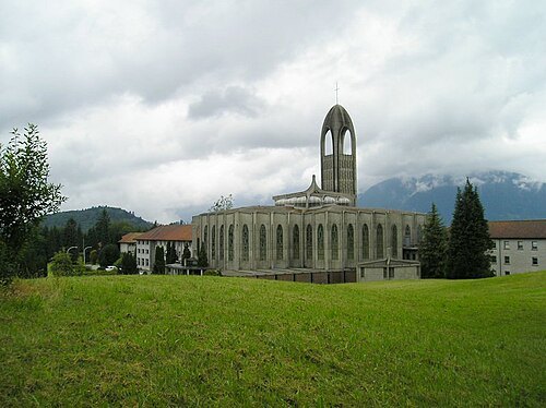
  • Westminster Abbey

    M. Lounsbery / Mlouns at en.wikipedia / CC BY-SA 3.0

    abbey

    Westminster Abbey

    community of Benedictine monks in Mission, British Columbia

    Opening hours Not checked

    Admission Not checked

    About 12 km from the city centre

    Map

  • island

    Hatzic Island

    island in British Columbia, Canada

    Opening hours Not checked

    Admission Not checked

    About 14 km from the city centre

    Map

  • river island

    Nicomen Island

    island in British Columbia, Canada

    Opening hours Not checked

    Admission Not checked

    About 20 km from the city centre

    Map

  • river island

    Crescent Island

    island in British Columbia, Canada

    Opening hours Not checked

    Admission Not checked

    About 15 km from the city centre

    Map

  • lake

    Whonnock Lake

    lake in British Columbia, Canada

    Opening hours Not checked

    Admission Not checked

    About 20 km from the city centre

    Map

Places to eat

Opening hours and tickets: OpenStreetMap contributors. Each one shows the day a volunteer last wrote it down, so check the official site before you set out.

Nothing picked yet
    Add a place that is not listed here

    One per line. Pasting a list works too.

    Canada