São Paulo: what to see and where to eat
Everything below comes from open data and each row says where it came from. We have not been to any of these places and we do not rank them.
Filters
Things to see
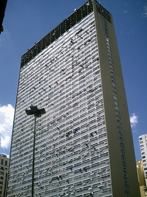 skyscraper
Mirante do Vale
skyscraper in São Paulo, Brazil
Getting there Nearest stop or station Terminal Correio, about 1 min on foot OpenStreetMap
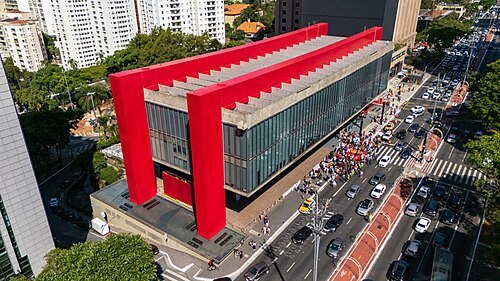 cultural center
São Paulo Museum of Art
art museum in São Paulo, Brazil
Getting there Nearest stop or station Trianon-Masp, about 5 min on foot OpenStreetMap
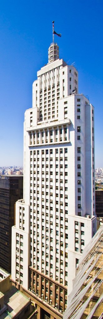 skyscraper
Edifício Altino Arantes
skyscraper in São Paulo, Brazil
Getting there Nearest stop or station São Bento, about 3 min on foot OpenStreetMap
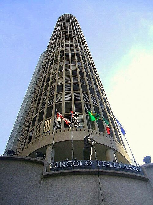
Dornicke (Lucas B. Salles) / Public domain
cultural heritageEdifício Itália
skyscraper in São Paulo, Brazil
Getting there Nearest stop or station República, about 3 min on foot OpenStreetMap
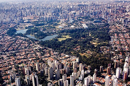
Fernando Stankuns / CC BY-SA 4.0
parkIbirapuera Park
park in São Paulo
Getting there Nearest stop or station Estação AACD-Servidor;AACD – Servidor, about 19 min on foot OpenStreetMap
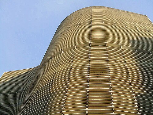
Dornicke (Lucas B. Salles) / Public domain
skyscraperEdifício Copan
skyscraper
Getting there Nearest stop or station República, about 5 min on foot OpenStreetMap
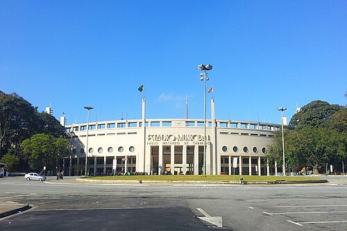
joao batista Shimoto / CC BY-SA 3.0
multi-purpose stadiumEstádio do Pacaembu
football stadium in Brazil
Getting there Nearest stop or station Paulista, about 13 min on foot OpenStreetMap
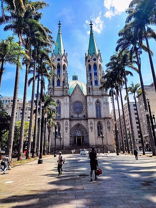
Geovana li malike / CC BY-SA 4.0
cathedralSão Paulo Cathedral
cathedral in Brazil
Getting there Nearest stop or station Sé, about 2 min on foot OpenStreetMap
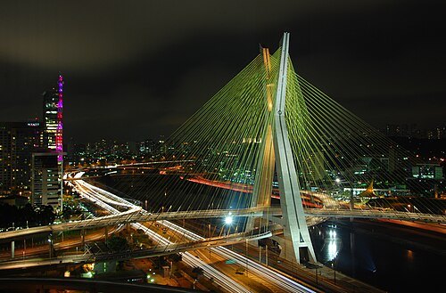 road bridge
Octávio Frias de Oliveira Bridge
bridge in São Paulo
Getting there Nearest stop or station Chucri Zaidan, about 6 min on foot OpenStreetMap
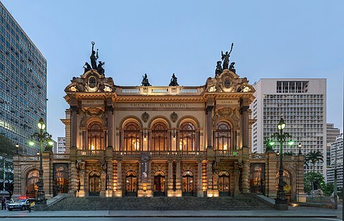 opera house
Municipal Theater of São Paulo
theatre in São Paulo, Brazil
Getting there Nearest stop or station Anhangabaú, about 4 min on foot OpenStreetMap
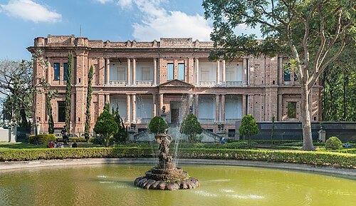 art museum
Pinacoteca de São Paulo
art museum in São Paulo, Brazil
Getting there Nearest stop or station Luz, about 2 min on foot OpenStreetMap
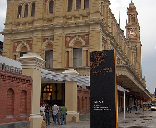 language museum
Museum of the Portuguese Language
museum in Brazil
Getting there Nearest stop or station Luz, about 2 min on foot OpenStreetMap
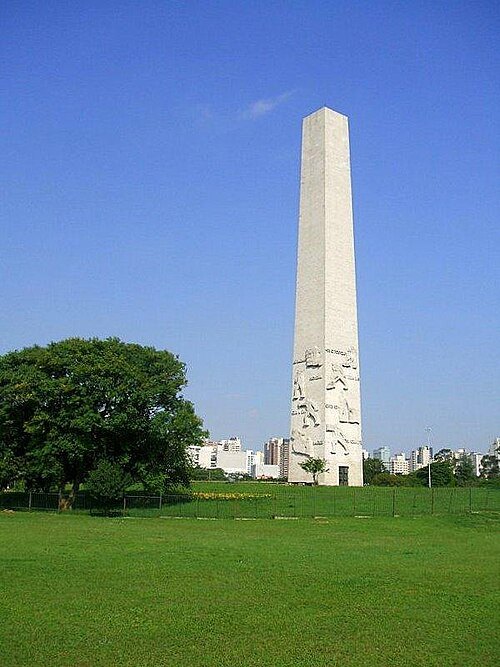
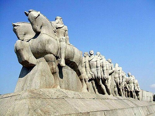
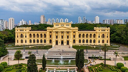
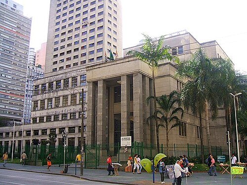
Lucas B. Salles (user: Dornicke) / Public domain
public libraryMário de Andrade Library
public library in São Paulo city, Brazil
Getting there Nearest stop or station Anhangabaú, about 4 min on foot OpenStreetMap
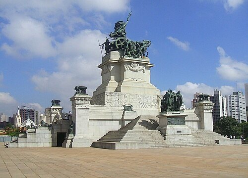
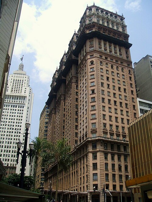 skyscraper
Martinelli Building
skyscraper in São Paulo, Brazil
Getting there Nearest stop or station São Bento, about 3 min on foot OpenStreetMap
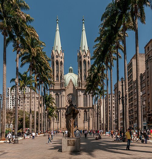
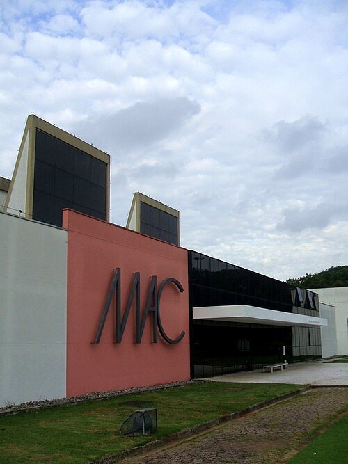 university museum
Museum of Contemporary Art, University of São Paulo
art museum in São Paulo, Brazil
Getting there Nearest stop or station Estação AACD-Servidor;AACD – Servidor, about 15 min on foot OpenStreetMap
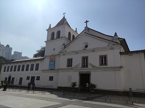 archaeological site
Pátio do Colégio
Historic building in São Paulo, Brazil
Getting there Nearest stop or station Terminal Parque Dom Pedro II, about 4 min on foot OpenStreetMap
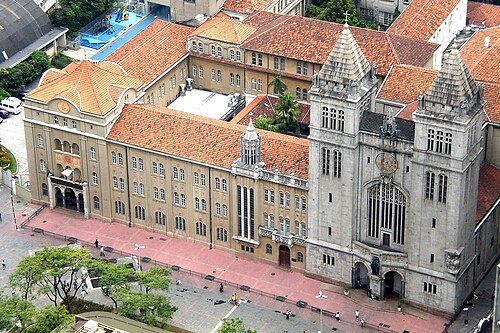
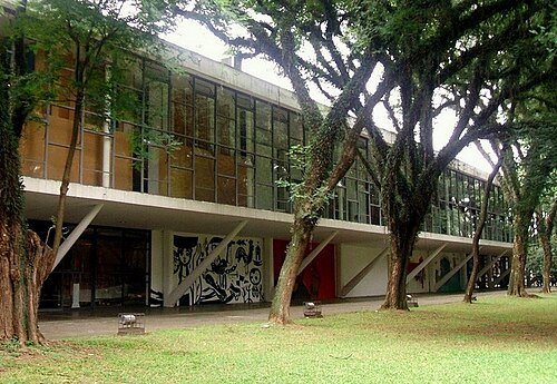
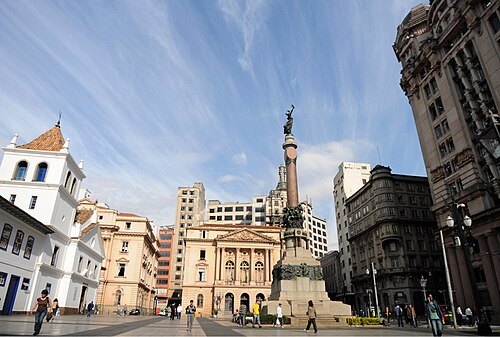
Mauricio Maranhão / CC BY-SA 4.0
historic siteCentro Histórico de São Paulo
historic sector in São Paulo, Brazil
Getting there Nearest stop or station São Bento, about 4 min on foot OpenStreetMap
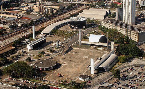
Ana Paula Hirama / CC BY-SA 2.0
cultural centerLatin America Memorial
cultural complex in São Paulo, Brazil
Getting there Nearest stop or station Palmeiras - Barra Funda, about 4 min on foot OpenStreetMap
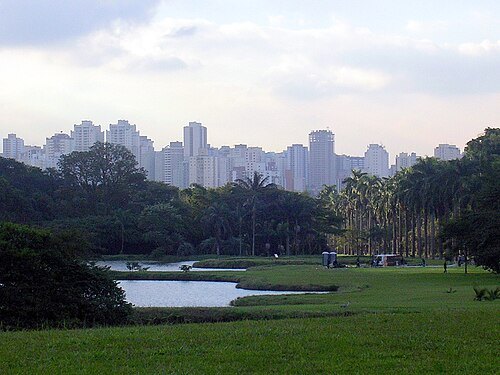 botanical garden
Botanical Garden of São Paulo
park of the Botanical Garden, environmental preservation area of the São Paulo state in Brazil
Getting there Nearest stop or station Ponte Orca Zoo - Terminal Jabaquara, about 17 min on foot OpenStreetMap
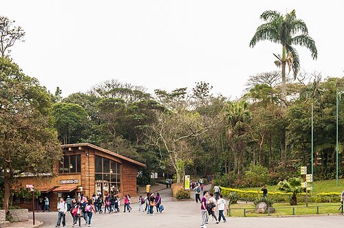 zoo
São Paulo Zoo
zoo in Brazil
Getting there Nearest stop or station Ponte Orca Zoo - Terminal Jabaquara, about 4 min on foot OpenStreetMap
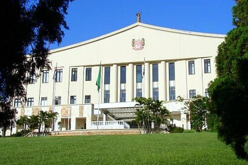
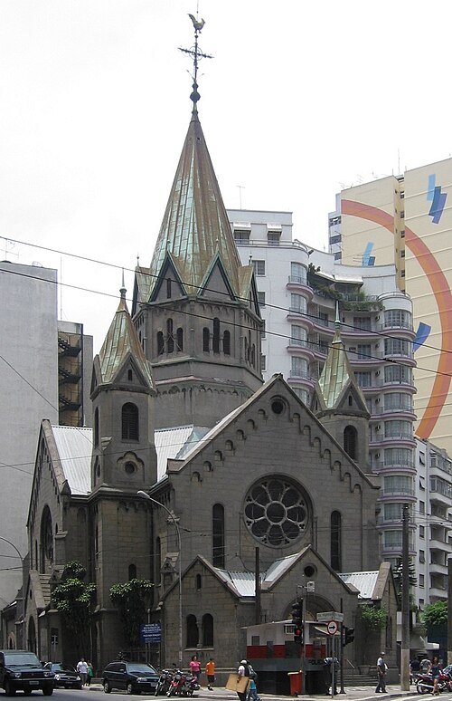 church building
Basilica of the Most Blessed Sacrament, São Paulo
church building in São Paulo, Brazil
Getting there Nearest stop or station Terminal Correio, about 3 min on foot OpenStreetMap
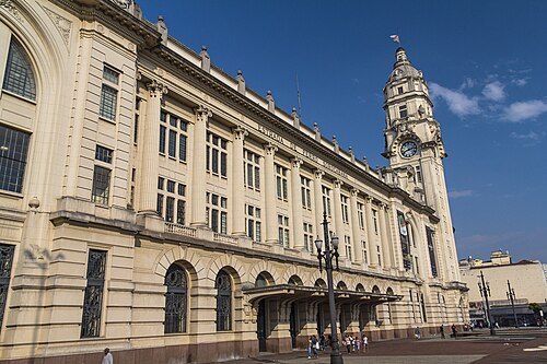 cultural center
Estação Júlio Prestes
historical train station in São Paulo, today only with commuter transit, the station building converted to a cultural centre
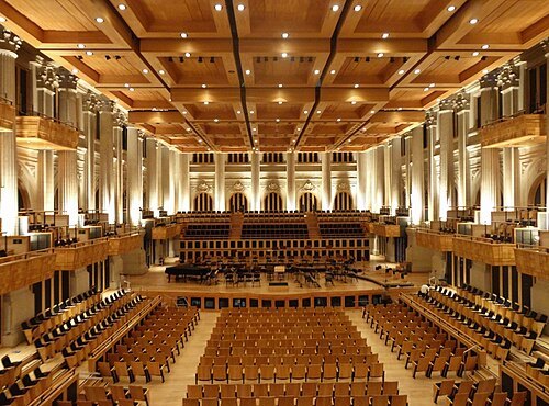
Vania Wolf from Indaiatuba, Brasil / CC BY-SA 2.0
concert hallSala São Paulo
concert hall in São Paulo, Brazil
Getting there Nearest stop or station Júlio Prestes, about 2 min on foot OpenStreetMap
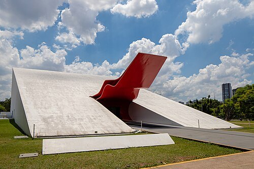
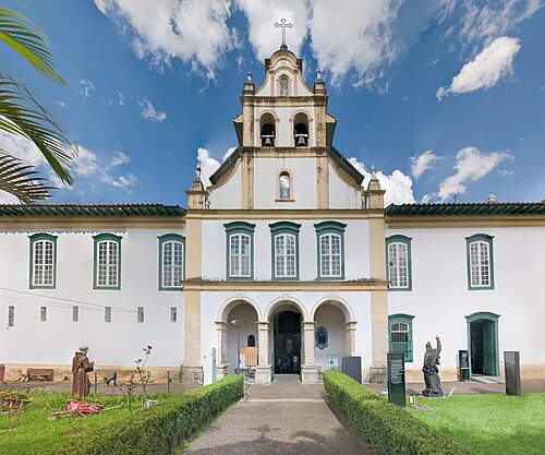 art museum
São Paulo Museum of Sacred Art
museum in São Paulo, Brazil
Getting there Nearest stop or station Tiradentes, about 2 min on foot OpenStreetMap
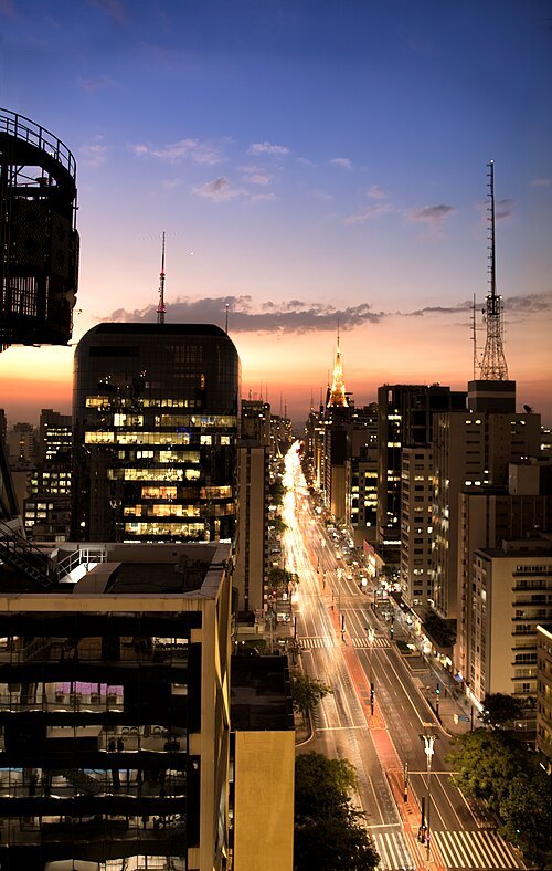
Rodrigo Tetsuo Argenton / CC BY-SA 4.0
avenuePaulista Avenue
avenue in São Paulo
Getting there Nearest stop or station Trianon-Masp, about 5 min on foot OpenStreetMap
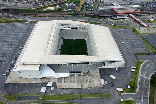
Alexandre Breveglieri / CC BY 2.0
association football venueNeo Química Arena
football stadium in São Paulo
Getting there Nearest stop or station Corinthians-Itaquera, about 7 min on foot OpenStreetMap
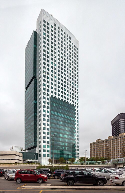 skyscraper
Eldorado Business Tower
skyscraper in São Paulo, Brazil
Getting there Nearest stop or station Hebraica - Rebouças, about 2 min on foot OpenStreetMap
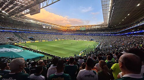 association football venue
Allianz Parque
football stadium in São Paulo, Brazil
Getting there Nearest stop or station SESC-Pompeia, about 8 min on foot OpenStreetMap
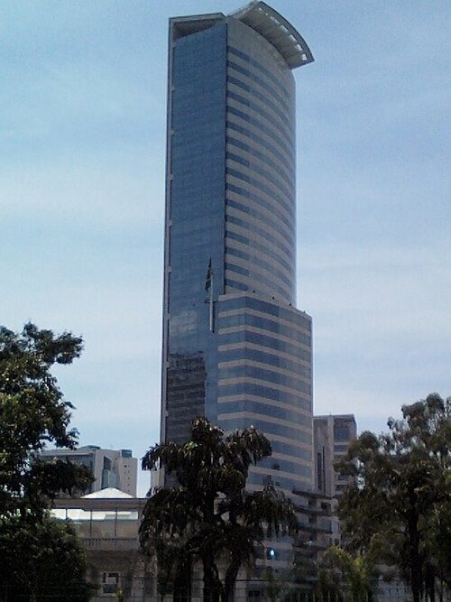 skyscraper
E-Tower
skyscraper
Getting there Nearest stop or station Vila Olímpia, about 4 min on foot OpenStreetMap
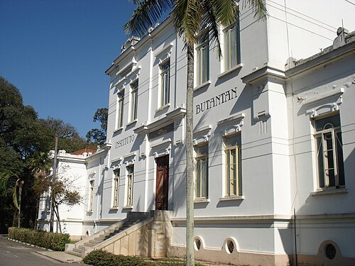 museum
Instituto Butantan
biologic research center in Brazil
Getting there Nearest stop or station Terminal Interurbano Butantã, about 17 min on foot OpenStreetMap
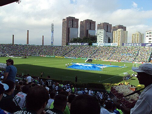 association football venue
Estádio Palestra Itália
football stadium in Brazil
Getting there Nearest stop or station SESC-Pompeia, about 8 min on foot OpenStreetMap
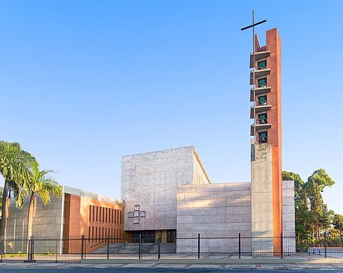
Diocesedecampolimpo / CC BY 4.0
diocese of the catholic churchDiocese de Campo Limpo
Catholic ecclesiastical territory in Brazil
Getting there Nearest stop or station Terminal Campo Limpo, about 3 min on foot OpenStreetMap
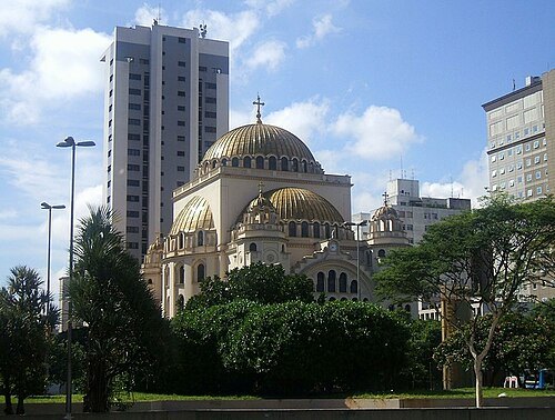 eastern orthodox cathedral
Catedral Metropolitana Ortodoxa
church in São Paulo, Brazil
Getting there Nearest stop or station Paraíso, about 1 min on foot OpenStreetMap
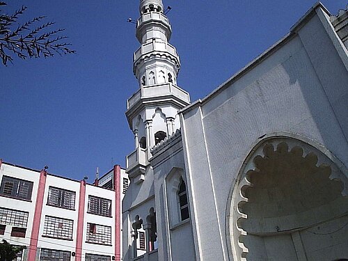 mosque
Mesquita Brasil
mosque in Brazil
Getting there Nearest stop or station Estação Ana Neri, about 6 min on foot OpenStreetMap
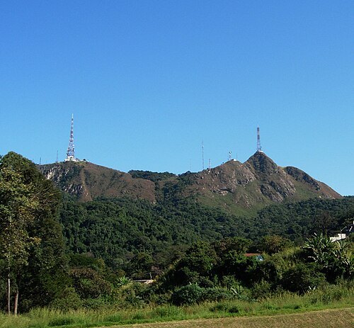
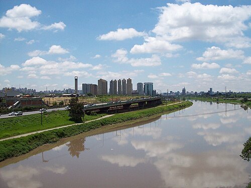 river
Pinheiros River
river in São Paulo, Brazil
Getting there Nearest stop or station Presidente Altino, about 20 min on foot OpenStreetMap
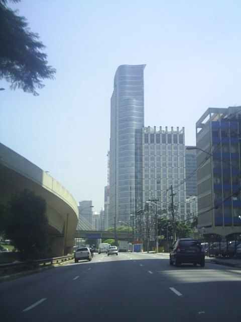 skyscraper
Sede do BankBoston
skyscraper
Getting there Nearest stop or station Chucri Zaidan, about 8 min on foot OpenStreetMap
- digital library
SciELO
bibliographic database of open access journals
Getting there Nearest stop or station Estação Hospital São Paulo, about 6 min on foot OpenStreetMap
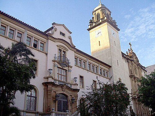
derivative work: Fulviusbsas (talk) Basílica_do_Carmo.jpg: Dornicke / Public domain
minor basilicaBasílica de Nossa Senhora do Carmo
church in São Paulo, Brazil
Getting there Nearest stop or station São Joaquim, about 5 min on foot OpenStreetMap
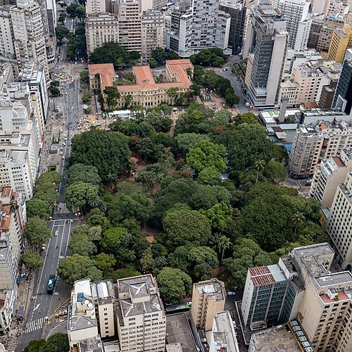
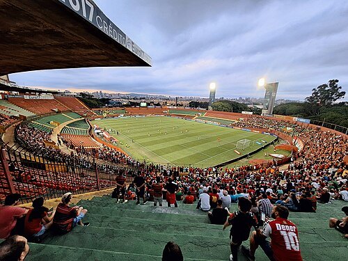
Boaventuravinicius / CC BY-SA 4.0
multi-purpose stadiumEstádio do Canindé
football stadium in Brazil
Getting there Nearest stop or station Tietê Bus Terminal, about 10 min on foot OpenStreetMap
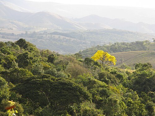
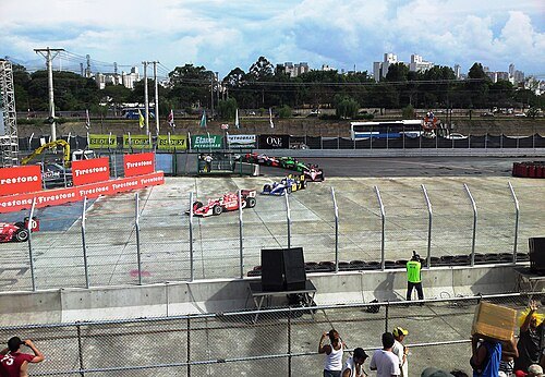
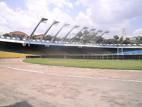 stadium
Estádio Bruno José Daniel
soccer stadium in Brazil
Getting there Nearest stop or station Parada Pirelli, about 18 min on foot OpenStreetMap
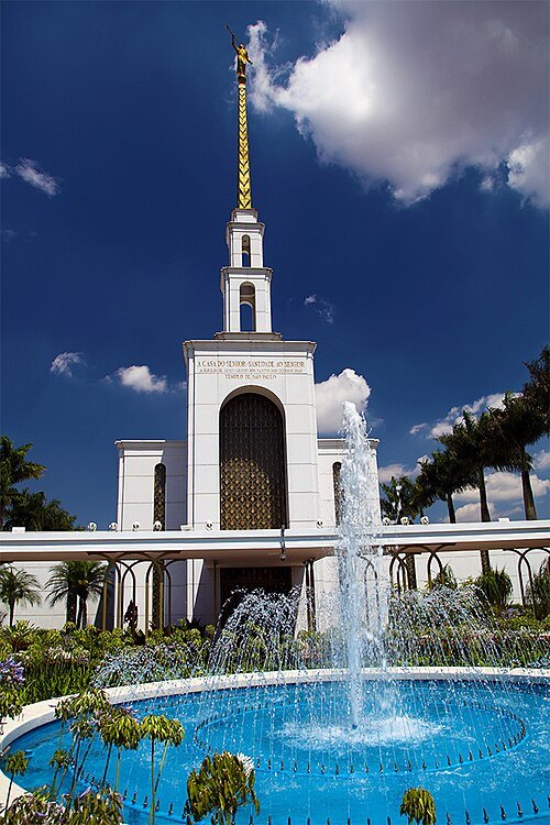 temple
São Paulo Brazil Temple
Temple of the Church of Jesus Christ of Latter-day Saints in São Paulo, Brazil
Getting there Nearest stop or station Terminal Morumbi, about 2 min on foot OpenStreetMap
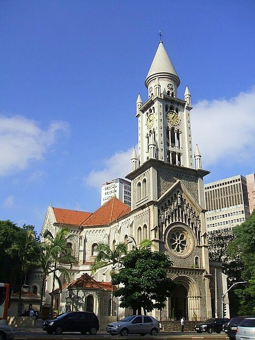 church building
Igreja Nossa Senhora da Consolação
church in São Paulo, Brazil
Getting there Nearest stop or station República, about 9 min on foot OpenStreetMap
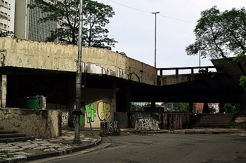
Alexandre Giesbrecht / CC BY 3.0
squarePraça Roosevelt
square in São Paulo, Brazil
Getting there Nearest stop or station Higienópolis-Mackenzie, about 9 min on foot OpenStreetMap


Places to eat
- restaurant
Bar Guanabara
Food: regional, dessert
- restaurant
Boi na Brasa
Food: steak house
- restaurant
Bovinu's Fast Grill
Food: brazilian, grill
- restaurant
Bovinu's Fast Grill
Food: brazilian
- restaurant
Capim Santo
Food: regional
- restaurant
Laço de Ouro II
Food: brazilian, steak house, dessert
- restaurant
New Shin-La Kwan
Food: korean
- restaurant
Restaurante Chopp Escuro
Food: regional
- cafe
Sorbing Korean Dessert Cafe
Food: korean, breakfast, tea, cake, coffee shop
- cafe
Starbucks
Food: coffee shop
- restaurant
Zucco
Food: italian
- restaurant
Brás Grill
Food: regional
- cafe
Cafeteria da Maria
Food: regional
- cafe
Fran's Café
Food: coffee shop
Nothing here matches that. Clear a filter and try again.
Opening hours and tickets: OpenStreetMap contributors. Each one shows the day a volunteer last wrote it down, so check the official site before you set out.