Santos: what to see and where to eat
Everything below comes from open data and each row says where it came from. We have not been to any of these places and we do not rank them.
Filters
Things to see
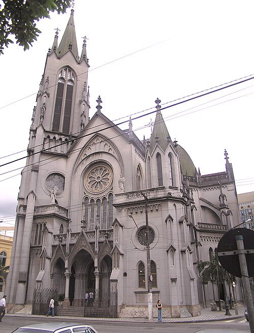
derivative work: Fulviusbsas (talk) Cathedral_1_Santos_Brasil.jpg: Morio / CC BY-SA 3.0
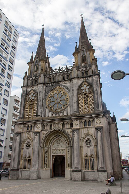
church buildingOur Lady of the Rosary Cathedral, Santos
church
Getting there Nearest stop or station José Bonifácio, about 1 min on foot OpenStreetMap
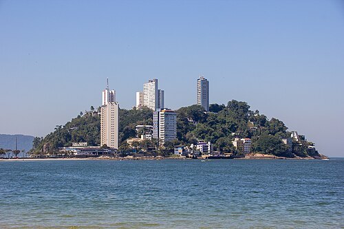
Photograph by Mike Peel (www.mikepeel.net). / CC BY-SA 4.0
islandIlha Porchat
island in São Vicente, Brazil
Getting there Nearest stop or station Teleferico de São Vicente, about 17 min on foot OpenStreetMap
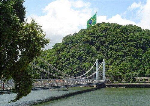
Marco Antonio Pinto /Marcant (Marco Antonio Pinto) / CC BY 2.0
suspension bridgeSão Vicente Suspension Bridge
bridge in São Vicente
Getting there Nearest stop or station Terminal Rodoviário de São Vicente, about 19 min on foot OpenStreetMap
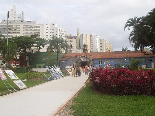 public aquarium
Municipal Aquarium of Santos
Getting there Nearest stop or station Terminal de Passageiros Santos-Praia do Góes e Nossa Senhora dos Navegantes, about 13 min on foot OpenStreetMap
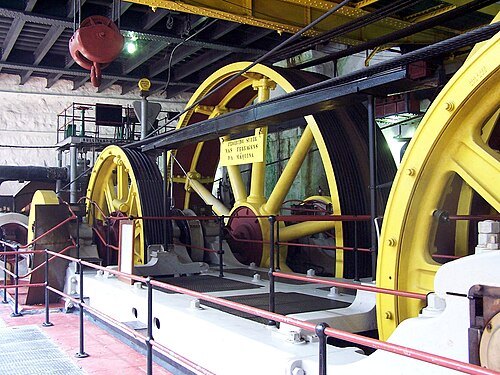
Paulocarmona at Portuguese Wikipedia / CC BY-SA 3.0
historic siteParanapiacaba Funicular
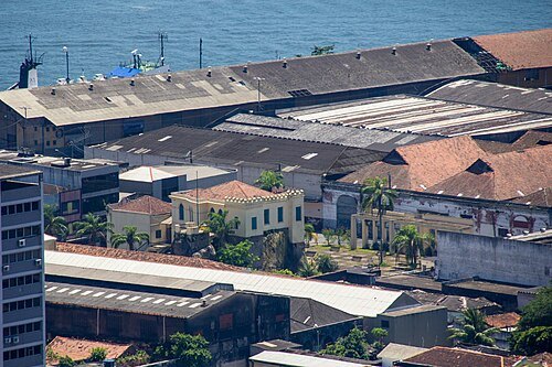
Photograph by Mike Peel (www.mikepeel.net). / CC BY-SA 4.0
hillOuteiro de Santa Catarina
Getting there Nearest stop or station Terminal de Passageiros Santos-Vicente de Carvalho-Ilha Diana, about 4 min on foot OpenStreetMap
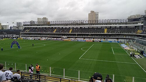
BrazilianDude70 / CC BY-SA 4.0
association football venueEstádio Urbano Caldeira
football stadium in Santos, Brazil
Getting there Nearest stop or station Ana Costa, about 17 min on foot OpenStreetMap
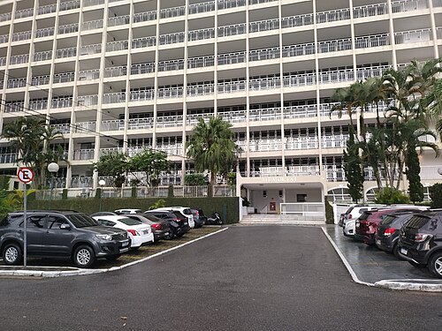
 hill
Morro Voturuá
mountain in Brazil
Getting there Nearest stop or station Teleferico de São Vicente, about 7 min on foot OpenStreetMap
- island
Ilha das Palmas
island in São Paulo state 24°0'S, 46°19'W
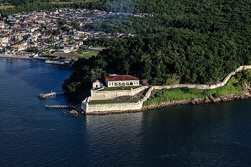 island
Ilha de Santo Amaro
island in Brazil
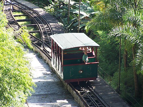
Paulocarmona at Portuguese Wikipedia / CC BY-SA 3.0
mountainMonte Serrat
mountain in Brazil
Getting there Nearest stop or station Estação Rodoviária de Santos, about 8 min on foot OpenStreetMap
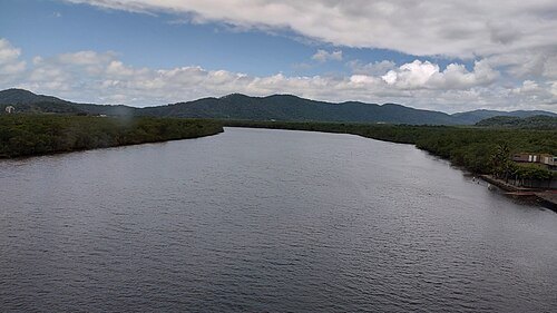
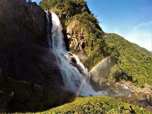
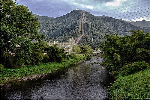
Marcus Cabaleiro / CC BY-SA 3.0
damHenry Borden Hydroelectric Power Plant
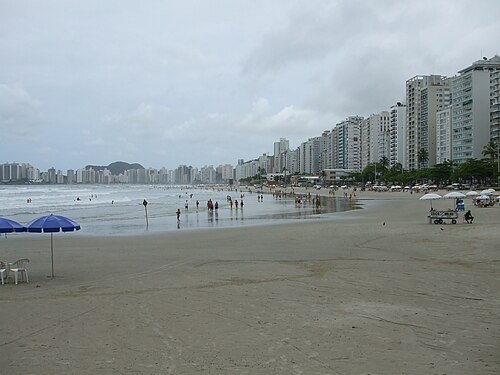
2(L.L.K.)2 (talk) 00:33, 22 February 2009 (UTC) / Public domain
beachPitangueiras
beach in Guarujá, Brazil
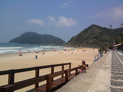 beach
Tombo Beach
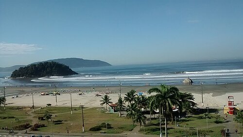 beach
Itararé Beach
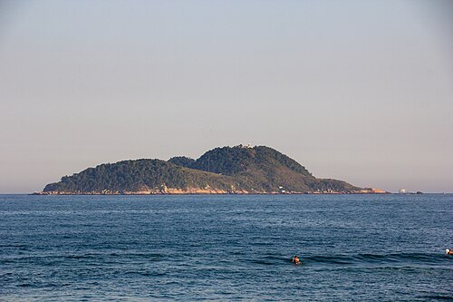
Photograph by Mike Peel (www.mikepeel.net). / CC BY-SA 4.0
islandIlha da Moela
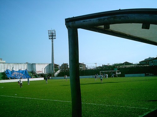
- arena
Arena Santos
sporting venue in Brazil
Getting there Nearest stop or station Estação Rodoviária de Santos, about 12 min on foot OpenStreetMap
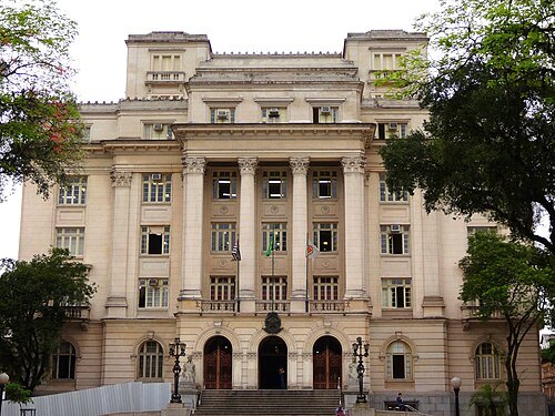 city hall
José Bonifácio Palace
Getting there Nearest stop or station Mauá, about 3 min on foot OpenStreetMap
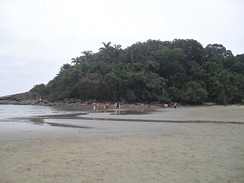
pizzariabatepapo ric… / CC BY-SA 3.0
beachIlha do Mar Casado
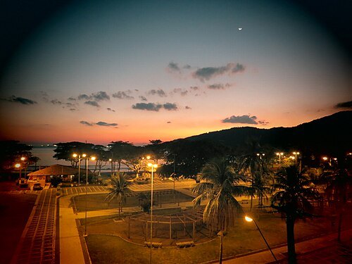
Fernando Druziani / CC BY-SA 3.0
beachPraia do Guaiuba
- beach
Góis Beach
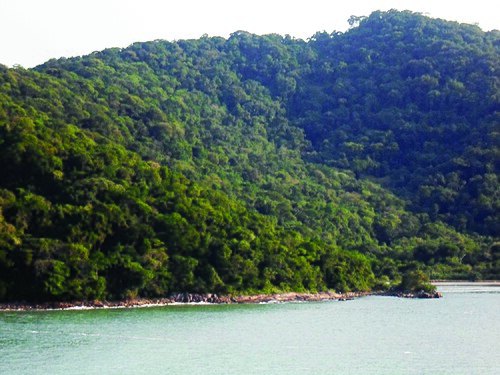
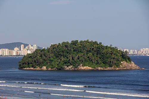
Photograph by Mike Peel (www.mikepeel.net). / CC BY-SA 4.0
islandUrubuqueçaba Island
Getting there Nearest stop or station João Ribeiro, about 14 min on foot OpenStreetMap
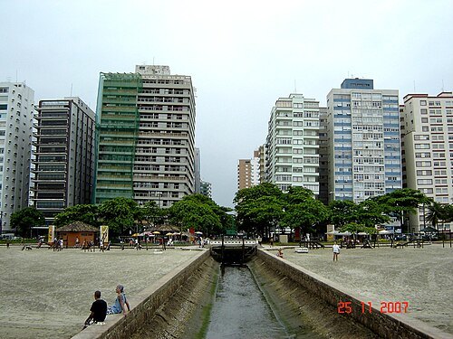 beach
Boqueirão Beach
beach in Santos, Brazil
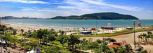 beach
José Menino beach
Getting there Nearest stop or station Nossa Senhora de Lourdes, about 8 min on foot OpenStreetMap
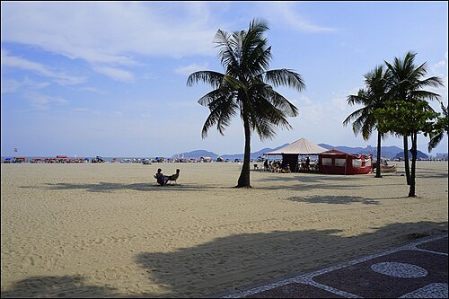 beach
Gonzaga beach
Getting there Nearest stop or station Bernardino, about 17 min on foot OpenStreetMap
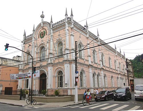 cultural center
Portuguese Cultural Centre
Museum in Santos, Brazil
Getting there Nearest stop or station José Bonifácio, about 3 min on foot OpenStreetMap
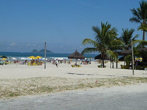 beach
Enseada Beach
beach in Guarujá, Brazil
- river
Rio Marcolino
river in Brazil
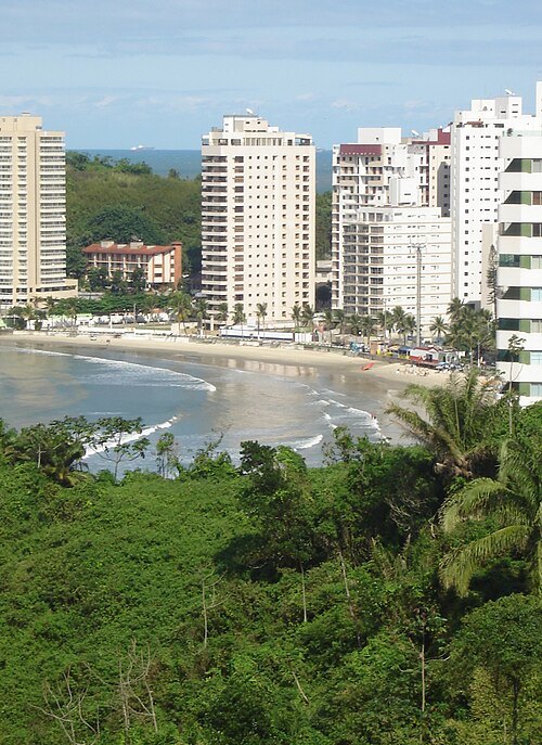 beach
Astúrias Beach


Places to eat
- cafe
Bistrô Maria Mineira
Food: coffee shop
Nothing here matches that. Clear a filter and try again.
Opening hours and tickets: OpenStreetMap contributors. Each one shows the day a volunteer last wrote it down, so check the official site before you set out.