Salvador: what to see and where to eat
Everything below comes from open data and each row says where it came from. We have not been to any of these places and we do not rank them.
Filters
Things to see
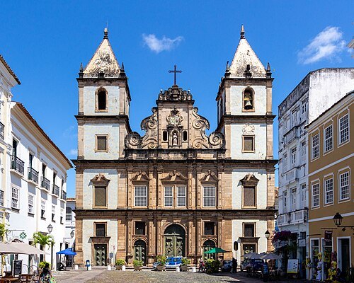
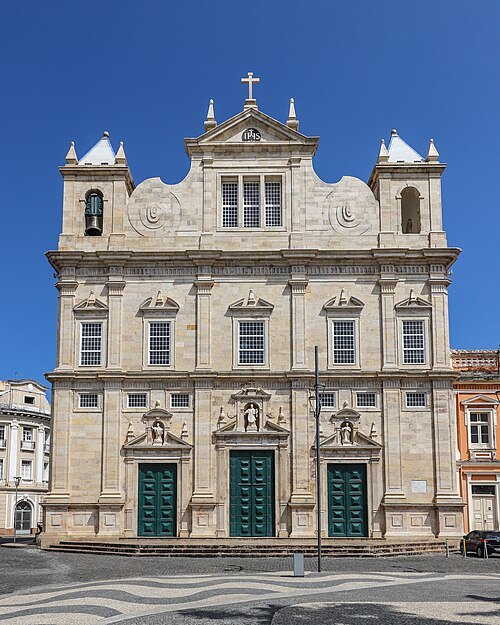 catholic cathedral
Cathedral of Salvador
church in Salvador, Bahia
Getting there Nearest stop or station Terminal Turístico Náutico da Bahia, about 8 min on foot OpenStreetMap
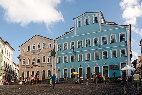
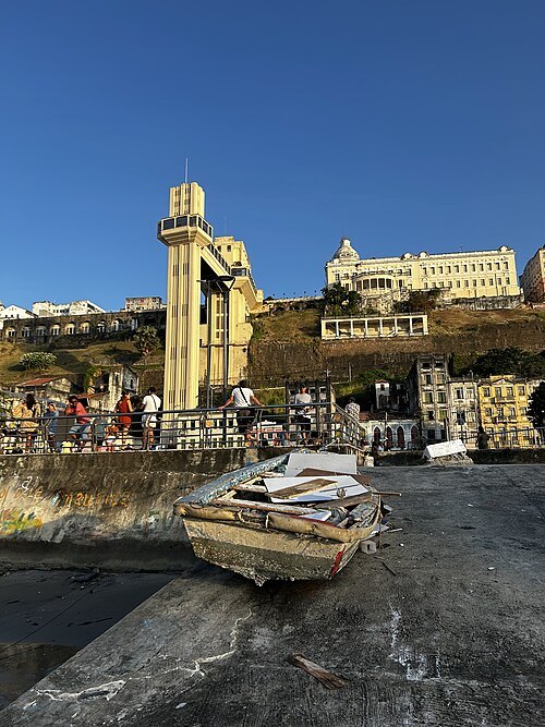
EvertonCostaFoto / CC BY-SA 4.0
historic siteElevador Lacerda
public elevator in Salvador, Brazil
Getting there Nearest stop or station Terminal Turístico Náutico da Bahia, about 5 min on foot OpenStreetMap
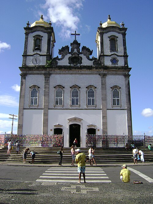
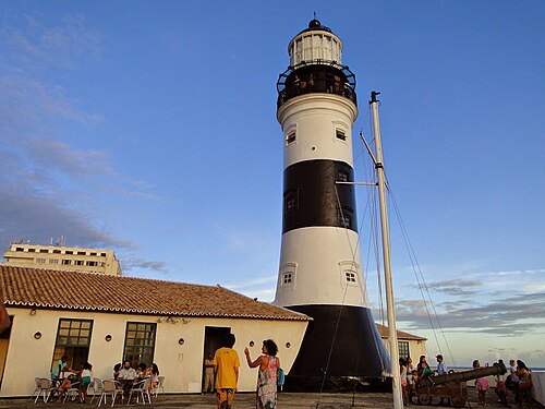
Wellington Da Costa Gomez / CC BY-SA 4.0
catholic church buildingSão Francisco Church and Convent
church and convent in Salvador, Brazil
Getting there Nearest stop or station Campo da Pólvora, about 8 min on foot OpenStreetMap
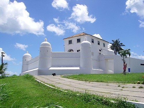
- historic site
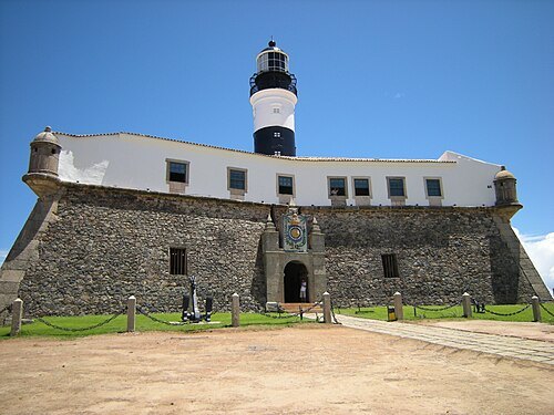
São Marcelo Fort
well listed by the Institute of Artistic and Cultural Heritage of Bahia in the city of Salvador, Bahia
Getting there Nearest stop or station Terminal Turístico Náutico da Bahia, about 6 min on foot OpenStreetMap
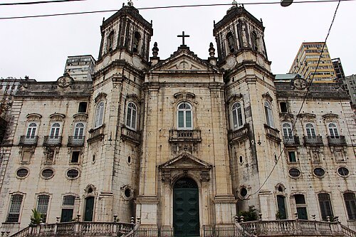 catholic church building
Basilica of the Immaculate Conception
church building in Salvador, Brazil
Getting there Nearest stop or station Terminal Turístico Náutico da Bahia, about 6 min on foot OpenStreetMap
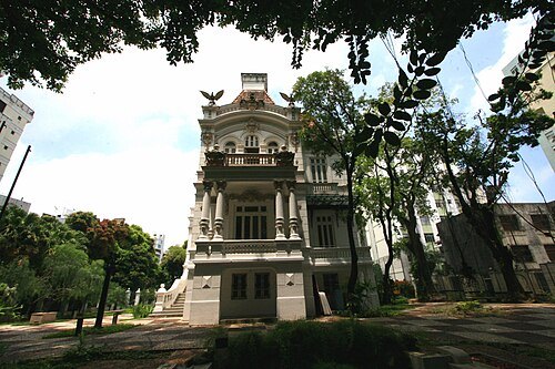
 market hall
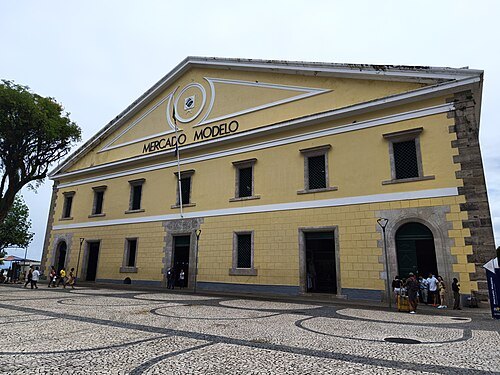
Mercado Modelo
market in Salvador, Bahia, Brazil
Getting there Nearest stop or station Terminal Turístico Náutico da Bahia, about 3 min on foot OpenStreetMap
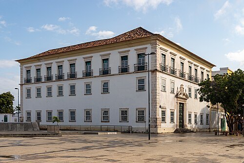 cultural center
Archbishop's Palace of Salvador
religious building in Salvador, Bahia
Getting there Nearest stop or station Terminal Turístico Náutico da Bahia, about 7 min on foot OpenStreetMap
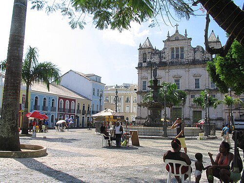 square
Praça Terreiro de Jesus
square in Salvador, Brazil
Getting there Nearest stop or station Terminal Turístico Náutico da Bahia, about 9 min on foot OpenStreetMap
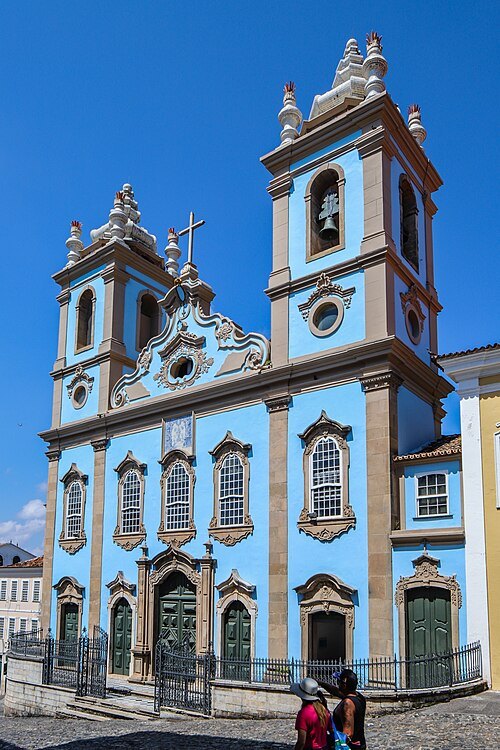 catholic church building
Church of the Third Order of Our Lady of the Rosary of the Black People
church in Salvador, Brazil
Getting there Nearest stop or station Terminal Turístico Náutico da Bahia, about 12 min on foot OpenStreetMap
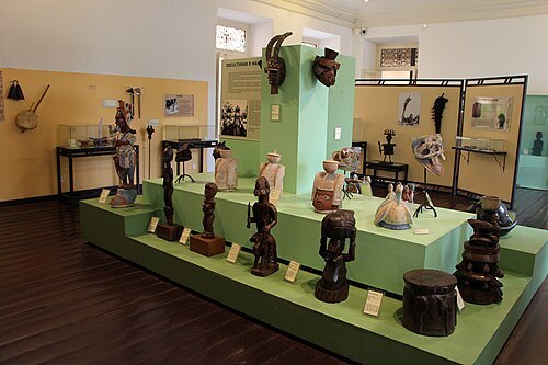 university museum
Afro-Brazilian Museum
cultural museum in Salvador, Bahia
Getting there Nearest stop or station Terminal Turístico Náutico da Bahia, about 9 min on foot OpenStreetMap
- association football venue
Estádio Parque Santiago
soccer stadium in Salvador, Bahia, Brasil
Getting there Nearest stop or station Detran, about 10 min on foot OpenStreetMap
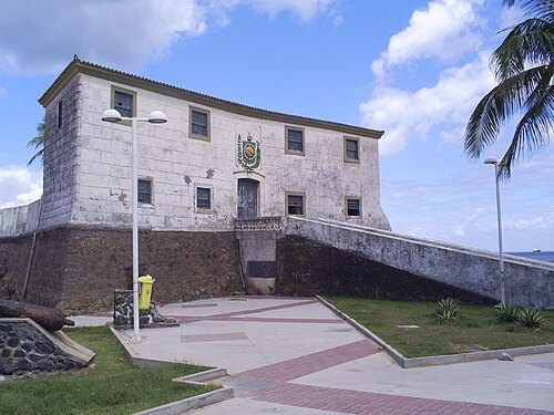 fort
Forte de Santa Maria
fort and historical good listed by the Bahia Artistic and Cultural Heritage Institute in the city of Salvador
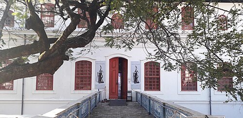 museum of modern art
Museum of Modern Art of Bahia
Brazilian museum in Salvador, Bahia
Getting there Nearest stop or station Lapa, about 14 min on foot OpenStreetMap
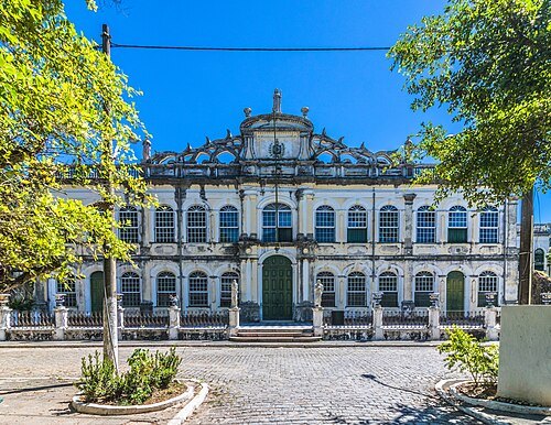
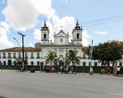 catholic church building
Casa Pia and College of the Orphans of Saint Joachim
Brazilian school, orphanage, and chapel
Getting there Nearest stop or station São Joaquim, about 2 min on foot OpenStreetMap
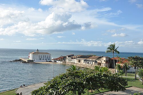 cape
Ponta de Montserrat
square listed by historical patrimony in the district of Mont Serrat, Salvador, Bahia
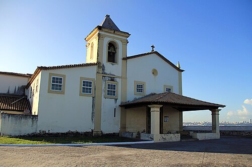
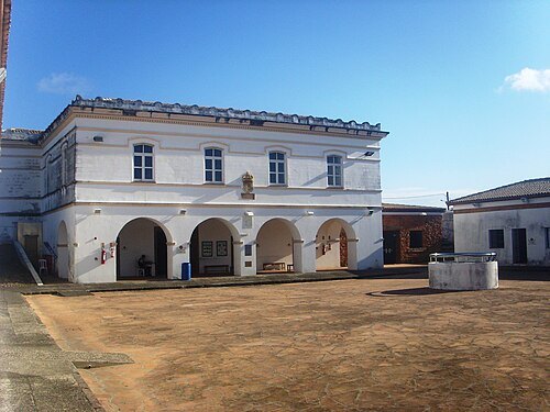
Hudson C. S. de Souza / CC BY-SA 3.0
cultural centerFort of Saint Antony Além‐do‐Carmo
fort, former prison, and cultural center in Salvador, Brazil
Getting there Nearest stop or station Ferry boat, about 14 min on foot OpenStreetMap
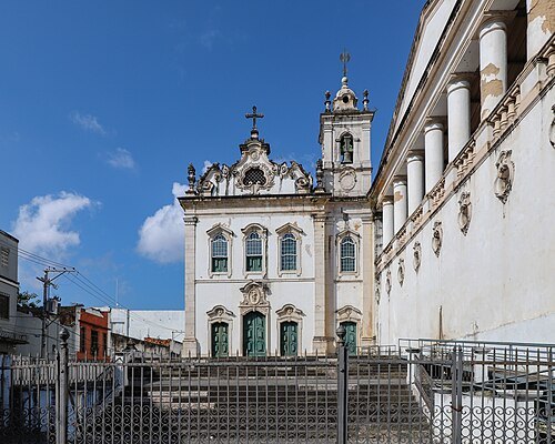 historic site
Parish Church of Our Lady of Pilar and Saint Lucy
church and cemetery in Salvador, Bahia
Getting there Nearest stop or station Terminal Turístico Náutico da Bahia, about 17 min on foot OpenStreetMap
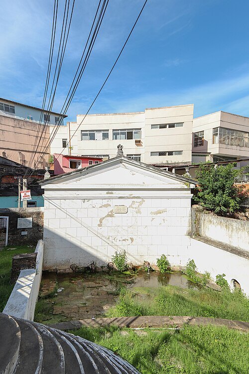 historic site
Fonte do Queimado
abandoned fountain in Salvador, Bahia
Getting there Nearest stop or station Ferry boat, about 8 min on foot OpenStreetMap
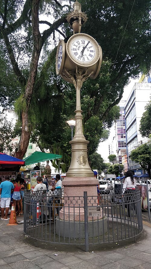 monument
Relógio de São Pedro
20th-century monument in Salvador, Bahia, Brazil
Getting there Nearest stop or station Lapa, about 4 min on foot OpenStreetMap
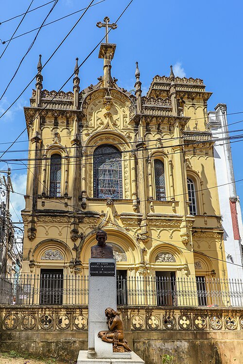 catholic church building
Chapel of Our Lady of Help
church in Salvador, Bahia
Getting there Nearest stop or station Terminal da Barroquinha, about 5 min on foot OpenStreetMap
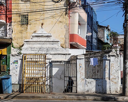 historic site
Fonte do Gravatá
abandoned fountain in Salvador, Bahia
Getting there Nearest stop or station Campo da Pólvora, about 4 min on foot OpenStreetMap
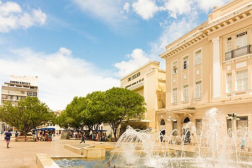 square
Praça da Sé
square in Salvador, Brazil
Getting there Nearest stop or station Terminal Turístico Náutico da Bahia, about 8 min on foot OpenStreetMap
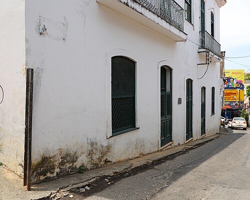 historic site
House of the Seven Lamps
house and museum
Getting there Nearest stop or station Terminal da Barroquinha, about 5 min on foot OpenStreetMap
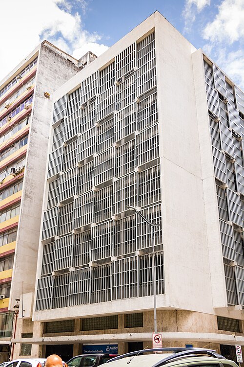 historic site
Caramuru Building
skyscraper in Salvador, Brazil
Getting there Nearest stop or station Terminal Turístico Náutico da Bahia, about 3 min on foot OpenStreetMap
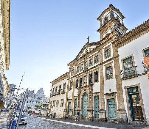
Santa Casa da Bahia / CC BY-SA 4.0
catholic church buildingChurch and Santa Casa da Misericórdia
church in Salvador, Bahia
Getting there Nearest stop or station Terminal Turístico Náutico da Bahia, about 6 min on foot OpenStreetMap
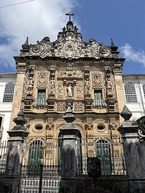
Ednei Fialho Lopes / CC BY-SA 4.0
catholic church buildingChurch of the Third Order of Saint Francis
church in Salvador, Bahia
Getting there Nearest stop or station Campo da Pólvora, about 9 min on foot OpenStreetMap
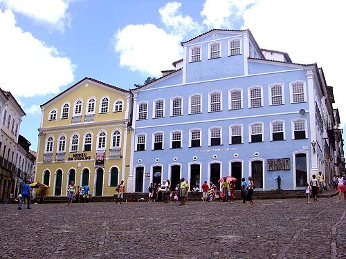 biographical museum
Fundação Casa de Jorge Amado
archive in Salvador, Bahia
Getting there Nearest stop or station Terminal Turístico Náutico da Bahia, about 11 min on foot OpenStreetMap
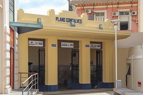 funicular
Plano Inclinado Gonçalves
funicular in Salvador, Brazil
Getting there Nearest stop or station Terminal Turístico Náutico da Bahia, about 8 min on foot OpenStreetMap
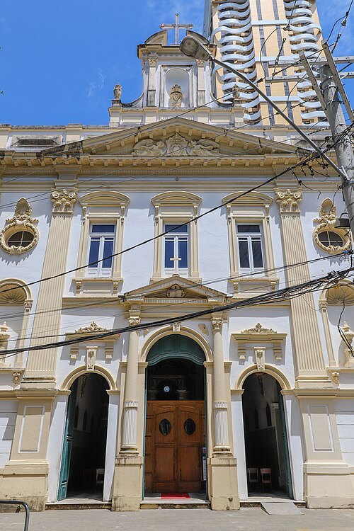
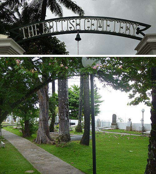
- stadium
Arena Fonte Nova
football stadium in Salvador, Bahia, Brazil
Getting there Nearest stop or station Campo da Pólvora, about 6 min on foot OpenStreetMap
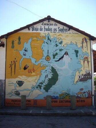
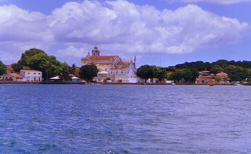 island
Itaparica Island
Brazilian island in All Saint's Bay (Portuguese: Baia de Todos os Santos), about 10 km from the city of Salvador, Bahia
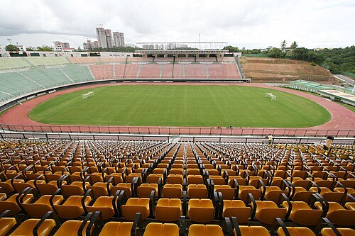
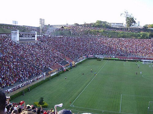
- stadium
Estádio Fonte Nova
architectural structure
Getting there Nearest stop or station Campo da Pólvora, about 6 min on foot OpenStreetMap
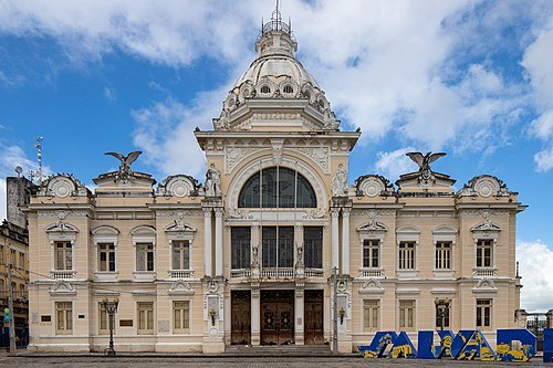 palace
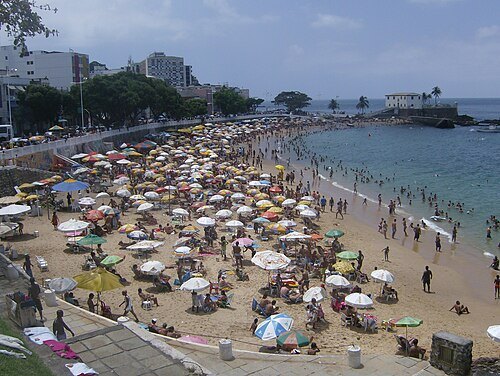
Rio Branco Palace
palace and former seat of government
Getting there Nearest stop or station Terminal da Barroquinha, about 5 min on foot OpenStreetMap
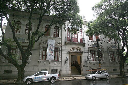
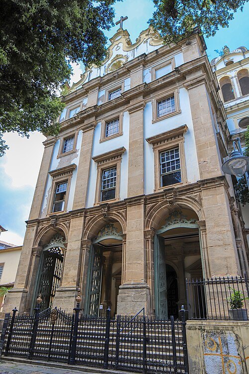 catholic church building
Basilica of St. Sebastian, Salvador
church building in Bahia, Brazil
Getting there Nearest stop or station Terminal da Barroquinha, about 3 min on foot OpenStreetMap
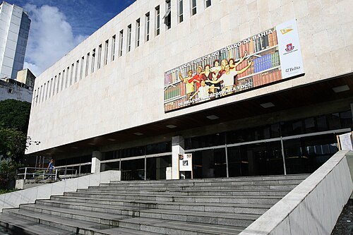
Agecom Bahia from Bahia/Brasil / CC BY 2.0
public libraryBiblioteca Pública do Estado da Bahia
Getting there Nearest stop or station Lapa, about 8 min on foot OpenStreetMap
Tiago Celestino from Bahia, Brazil / CC BY 2.0
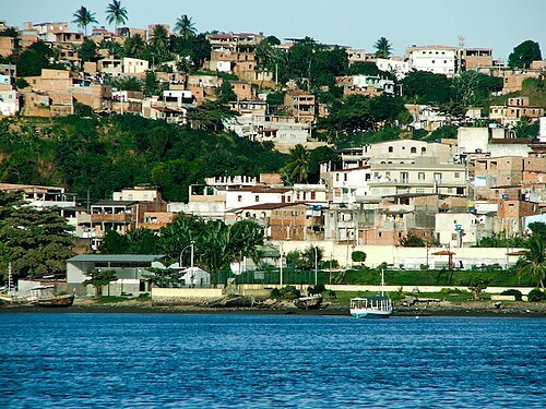
peninsulaItapagipe Peninsula
Peninsula in Salvador, Bahia, Brazil
Getting there Nearest stop or station Terminal Marítimo da Ribeira, about 9 min on foot OpenStreetMap
Tiago Celestino from Bahia, Brazil / CC BY 2.0
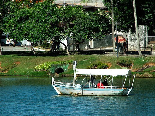
artificial lakeDique do Tororó
lake in Brazil
Getting there Nearest stop or station Campo da Pólvora, about 9 min on foot OpenStreetMap
 avenue
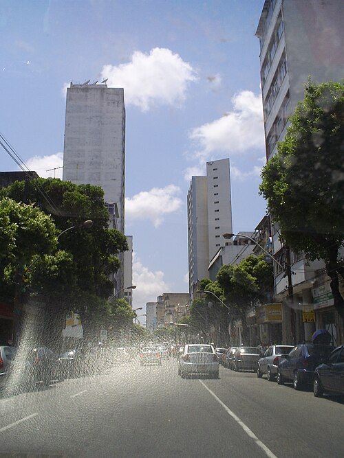
Avenida Sete de Setembro
Avenida in the city of Salvador, Bahia
Getting there Nearest stop or station Lapa, about 6 min on foot OpenStreetMap
Unknown authorUnknown author / Public domain
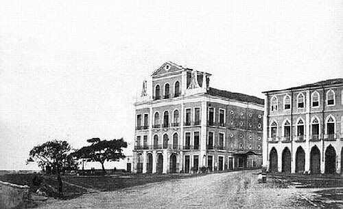
theatre buildingTeatro São João
former theatre in Salvador, Bahia, Brazil
Getting there Nearest stop or station Terminal da Barroquinha, about 5 min on foot OpenStreetMap
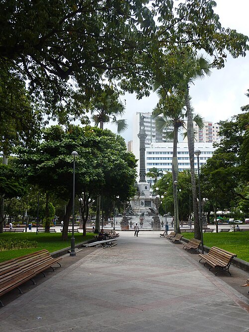 square
Largo do Campo Grande
square in Salvador
Getting there Nearest stop or station Lapa, about 19 min on foot OpenStreetMap


Places to eat
- restaurant
A Taberna Bar e Restaurante
Food: brazilian, burger, sandwich, açaí, bar, petiscos, aperitivos, tira-gosto, fast food, fried food, alcoholic drinks
- restaurant
Boteco do França
Food: regional
- restaurant
Cantina Volpi
Food: italian
- restaurant
Deli&Cake
Food: regional
- restaurant
Dona Mariquita
Food: brazilian
Nothing here matches that. Clear a filter and try again.
Opening hours and tickets: OpenStreetMap contributors. Each one shows the day a volunteer last wrote it down, so check the official site before you set out.