Rio de Janeiro: what to see and where to eat
Everything below comes from open data and each row says where it came from. We have not been to any of these places and we do not rank them.
Filters
Things to see
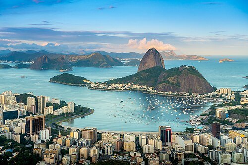 mountain
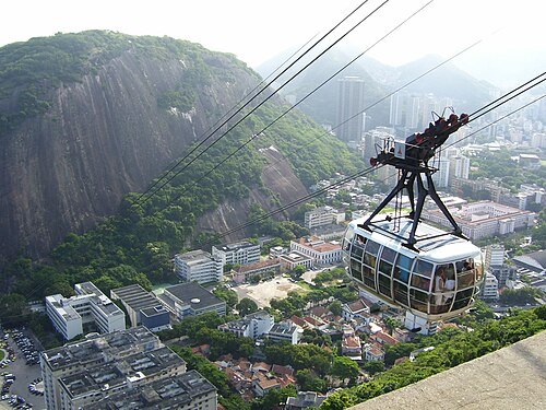
Sugarloaf Mountain
peak situated in Rio de Janeiro, Brazil
Getting there Nearest stop or station Pão de Açucar, about 1 min on foot OpenStreetMap
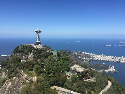 mountain
Corcovado
mountain in Rio de Janeiro, Brazil, known for the Christ Statue
Getting there Nearest stop or station Christ the Redeemer, about 2 min on foot OpenStreetMap
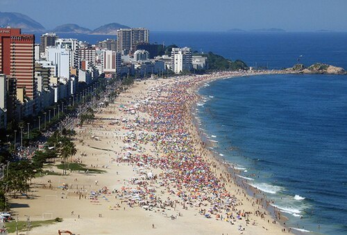 beach
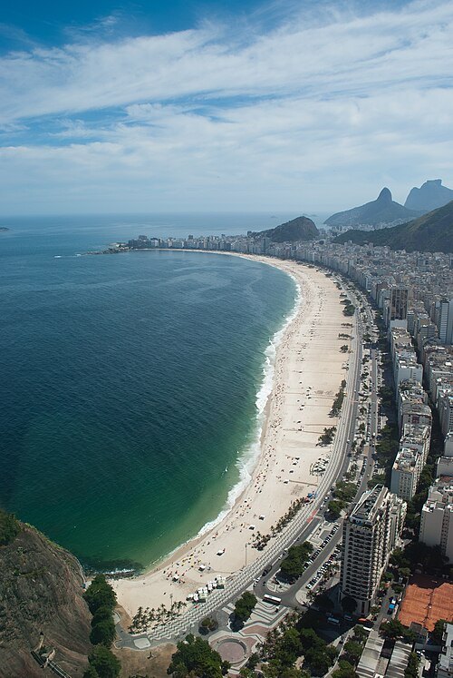
Ipanema District
neighborhood of Rio de Janeiro
Getting there Nearest stop or station Nossa Senhora da Paz / Ipanema, about 2 min on foot OpenStreetMap
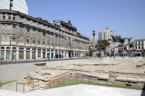
Halley Pacheco de Oliveira / CC BY-SA 3.0
wharfValongo Wharf
former wharf in Rio de Janeiro
Getting there Nearest stop or station Saara / Presidente Vargas, about 11 min on foot OpenStreetMap
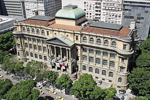 public library
National Library of Brazil
Brazilian national library
Getting there Nearest stop or station Cinelândia / Centro, about 2 min on foot OpenStreetMap
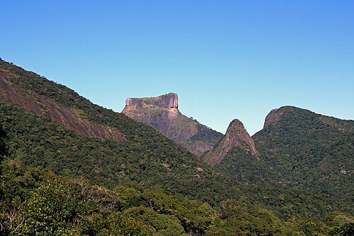
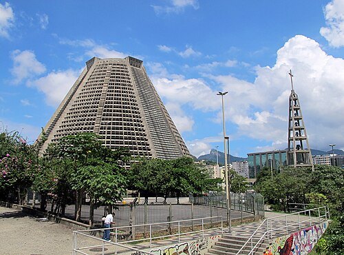
Haakon S. Krohn / CC BY-SA 3.0
cathedralRio de Janeiro Cathedral
cathedral in Rio de Janeiro, Brazil
Getting there Nearest stop or station Carioca / Centro, about 7 min on foot OpenStreetMap
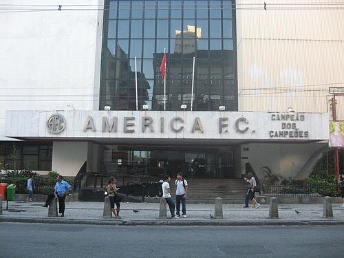 historic site
America Football Club
association football club
Getting there Nearest stop or station Afonso Pena / Tijuca, about 4 min on foot OpenStreetMap
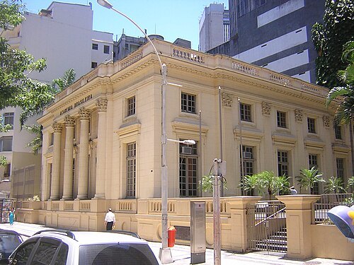 museum
Brazilian Academy of Letters
Brazilian literary non-profit society
Getting there Nearest stop or station Cinelândia / Centro, about 4 min on foot OpenStreetMap
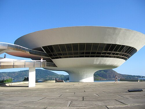
No machine-readable author provided. Phx de assumed (based on copyright claims). / CC BY-SA 2.5
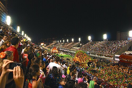
Ben Tavener from Curitiba, Brazil / CC BY 2.0
avenueSambadrome Marquês de Sapucaí
parade area in Rio de Janeiro, Brazil
Getting there Nearest stop or station Praça Onze, about 6 min on foot OpenStreetMap
- fort
Fort Copacabana
military building in Rio de Janeiro
Getting there Nearest stop or station General Osório / Ipanema, about 19 min on foot OpenStreetMap
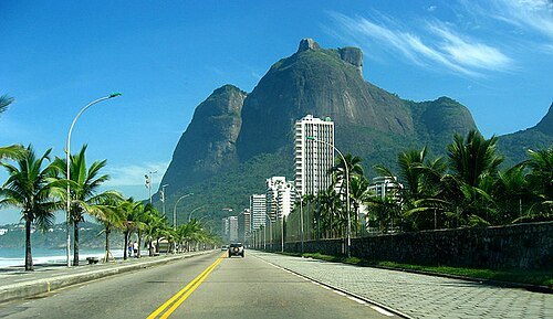
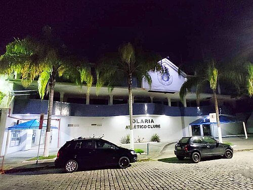
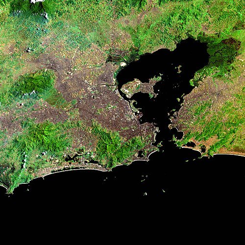
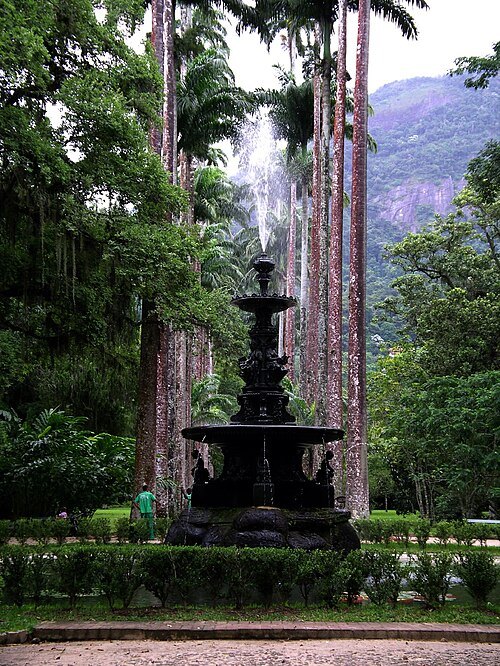 botanical garden
Rio de Janeiro Botanical Garden
park of the Botanical Garden, environmental preservation area of the Rio de Janeiro state in Brazil
Rubens Trindade / CC BY-SA 4.0
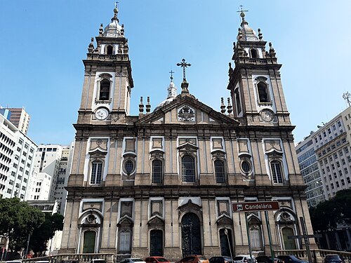
church buildingCandelária Church
church in Rio de Janeiro
Getting there Nearest stop or station Uruguaiana / Engenheiro Fernando Mac Dowell, about 7 min on foot OpenStreetMap
 theatre building
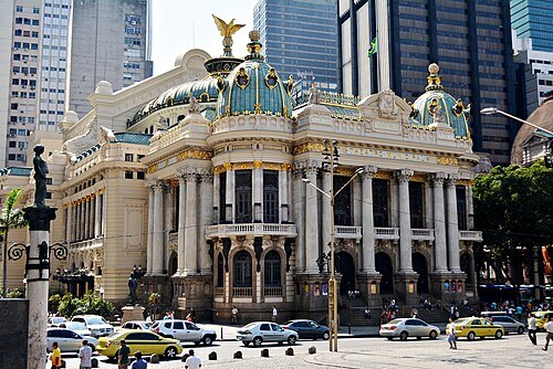
Teatro Municipal
theater in Rio de Janeiro, Brazil
Getting there Nearest stop or station Carioca / Centro, about 3 min on foot OpenStreetMap
 national museum
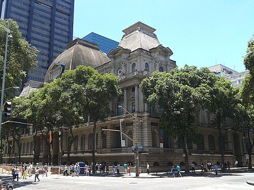
Museu Nacional de Belas Artes
national art museum in the city of Rio de Janeiro, Brazil
Getting there Nearest stop or station Cinelândia / Centro, about 4 min on foot OpenStreetMap
Marco Roberto Petri / CC BY-SA 4.0
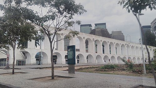
tram bridgeCarioca Aqueduct
18th-century Aqueduct in Rio
Getting there Nearest stop or station Cinelândia / Centro, about 7 min on foot OpenStreetMap
Carlos Luis M C da Cruz / Public domain
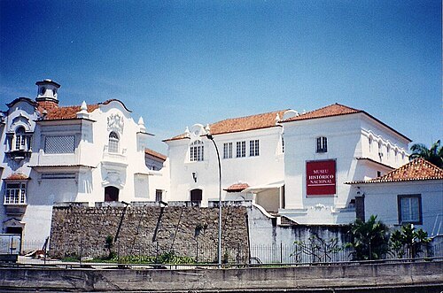
national museumNational Historical Museum
history museum in Rio de Janeiro, Brazil
Getting there Nearest stop or station Praça XV, about 6 min on foot OpenStreetMap
- science museum
Museum of Tomorrow
science museum
Getting there Nearest stop or station Uruguaiana / Engenheiro Fernando Mac Dowell, about 16 min on foot OpenStreetMap
Halley Pacheco de Oliveira / CC BY-SA 3.0
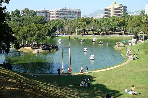
parkQuinta da Boa Vista
public park in Rio de Janeiro, Brazil
Getting there Nearest stop or station São Cristóvão, about 7 min on foot OpenStreetMap
 museum of modern art
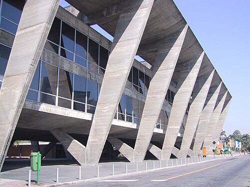
Museum of Modern Art, Rio de Janeiro
art museum
Getting there Nearest stop or station Cinelândia / Centro, about 8 min on foot OpenStreetMap
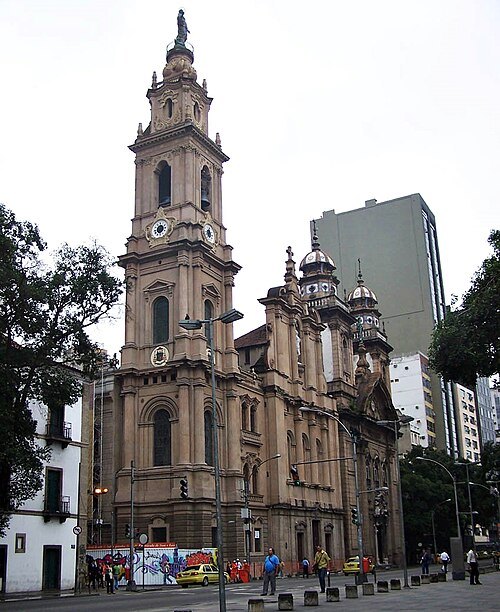 church building
Old Cathedral of Rio de Janeiro
Roman Catholic church in Rio de Janeiro, Brazil
Getting there Nearest stop or station Praça XV, about 5 min on foot OpenStreetMap
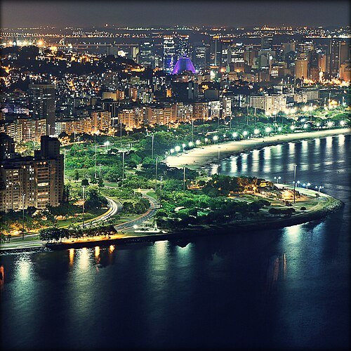 sports venue
Flamengo Park
largest public park and recreation area in Rio de Janeiro, Brazil
Getting there Nearest stop or station Glória, about 11 min on foot OpenStreetMap
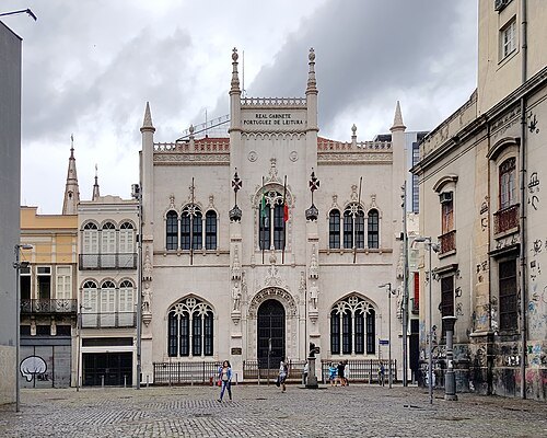 cultural heritage
Royal Portuguese Cabinet of Reading
library in Rio de Janeiro
Getting there Nearest stop or station Uruguaiana / Engenheiro Fernando Mac Dowell, about 4 min on foot OpenStreetMap
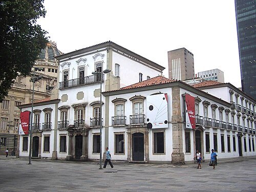 royal palace
Paço Imperial
building in Rio de Janeiro
Getting there Nearest stop or station Praça XV, about 3 min on foot OpenStreetMap
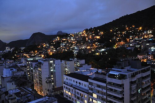
Jorge Láscar from Australia / CC BY 2.0
mountainMorro da Babilônia
favela in Leme, Rio de Janeiro, Brazil
Getting there Nearest stop or station Station I, about 9 min on foot OpenStreetMap
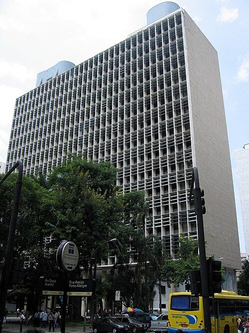 historic site
Gustavo Capanema Palace
modernist office building in Rio de Janerio, Brazil
Getting there Nearest stop or station Cinelândia / Centro, about 4 min on foot OpenStreetMap
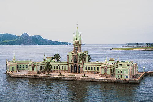
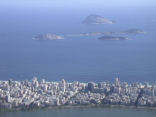
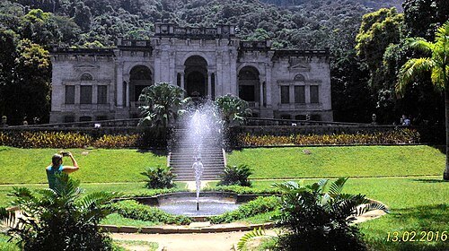 park
Parque Lage
park in Zona Sul, Brazil
Getting there Nearest stop or station Christ the Redeemer, about 15 min on foot OpenStreetMap
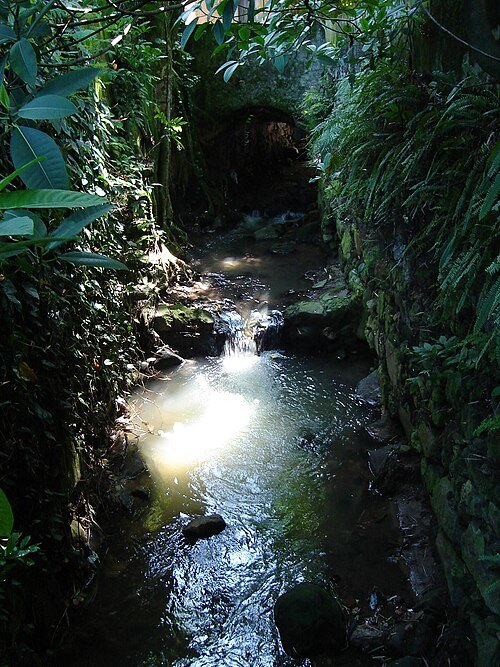
Daniel Fucs from Rio de Janeiro, Brasil / CC BY-SA 2.0
riverCarioca River
river in Brazil
Getting there Nearest stop or station Terminal Rodoviário Urbano Cosme Velho, about 1 min on foot OpenStreetMap
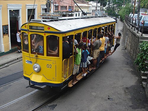 architectural landmark
Santa Teresa Tram
historic tramway in Rio de Janeiro
Getting there Nearest stop or station Cinelândia / Centro, about 8 min on foot OpenStreetMap
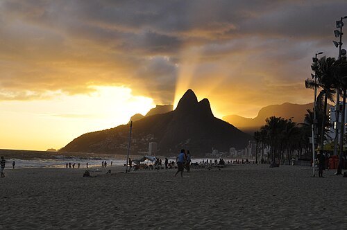 mountain
Morro Dois Irmãos
mountain in Brazil
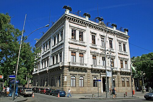
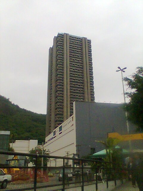 skyscraper
Rio Sul Center
office tower in RJ, Brazil
Getting there Nearest stop or station Cardeal Arcoverde / Copacabana, about 14 min on foot OpenStreetMap
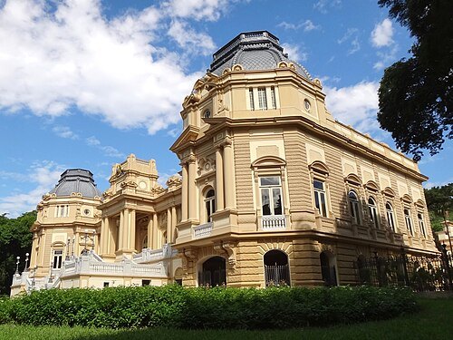 palace
Guanabara Palace
building in Rio de Janeiro
Getting there Nearest stop or station Flamengo, about 9 min on foot OpenStreetMap
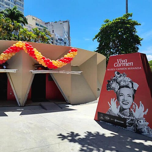 museum
Carmen Miranda Museum
museum in Rio de Janeiro, Brazil
Getting there Nearest stop or station Flamengo, about 13 min on foot OpenStreetMap
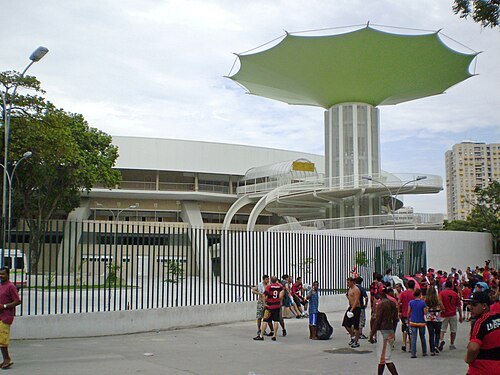
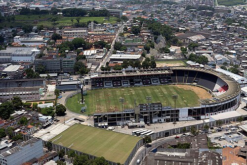
 association football venue
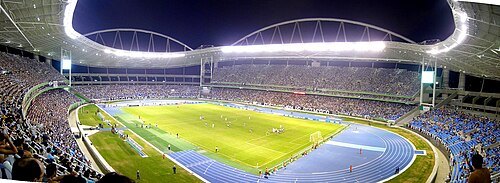
Estádio Nilton Santos
multi-use stadium in Rio de Janeiro, Brazil, and the home field of the football club Botafogo
Getting there Nearest stop or station Olímpica de Engenho de Dentro, about 5 min on foot OpenStreetMap
Diego Baravelli / CC BY-SA 4.0
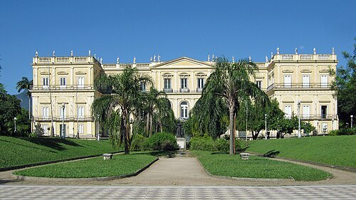
association football venueEstádio São Januário
football stadium
Getting there Nearest stop or station Vasco da Gama, about 10 min on foot OpenStreetMap
- stadium
Estádio das Laranjeiras
Stadium das Laranjeiras
Getting there Nearest stop or station Flamengo, about 9 min on foot OpenStreetMap
- stadium
Copacabana Stadium
former Olympic beach volleyball venue in Rio de Janeiro, Brazil
Getting there Nearest stop or station Cardeal Arcoverde / Copacabana, about 15 min on foot OpenStreetMap
Photograph by Mike Peel (www.mikepeel.net). / CC BY-SA 4.0
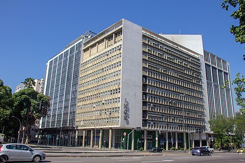
museumBrazilian Historic and Geographic Institute
archive in Rio de Janeiro, Rio de Janeiro
Getting there Nearest stop or station Cinelândia / Centro, about 6 min on foot OpenStreetMap
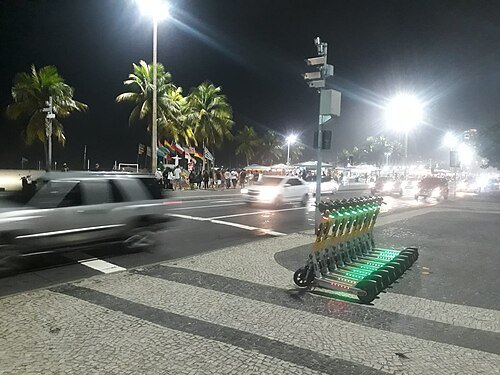 boulevard
Avenida Atlântica
street in Rio de Janeiro, Brazil
Getting there Nearest stop or station Cardeal Arcoverde / Copacabana, about 9 min on foot OpenStreetMap
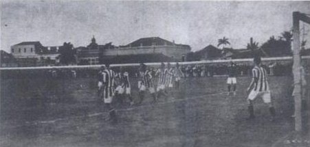
Caiquenlacerda2 02:00, 3 April 2008 (UTC) / Public domain
stadiumEstádio General Severiano
football stadium in Rio de Janeiro, Brazil
Getting there Nearest stop or station Botafogo, about 12 min on foot OpenStreetMap


Places to eat
No eating place in this city lists its cuisine and opening hours yet.
Nothing here matches that. Clear a filter and try again.
Opening hours and tickets: OpenStreetMap contributors. Each one shows the day a volunteer last wrote it down, so check the official site before you set out.