Porto Alegre: what to see and where to eat
Everything below comes from open data and each row says where it came from. We have not been to any of these places and we do not rank them.
Filters
Things to see
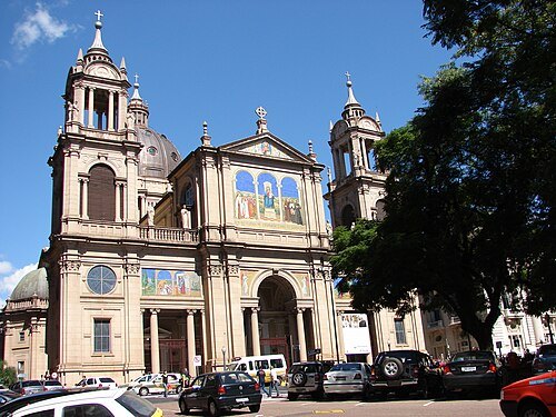
Zimbres 23:17, 21 April 2007 (UTC) / CC BY-SA 2.5
catholic cathedralMetropolitan Cathedral of Our Lady Mother of God, Porto Alegre
church in Porto Alegre, Brazil
Getting there Nearest stop or station Terminal de Lotação Rua Marechal Flores da Cunha, about 6 min on foot OpenStreetMap
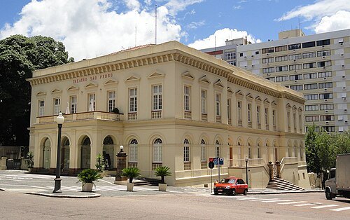 historic site
São Pedro Theatre
theatre in Porto Alegre, Brazil
Getting there Nearest stop or station Terminal de Lotação Rua Marechal Flores da Cunha, about 5 min on foot OpenStreetMap
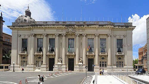
Ricardo André Frantz (User:Tetraktys) / CC BY-SA 3.0
historic sitePiratini palace
Seat of the Executive Branch of the Brazilian state of Rio Grande do Sul
Getting there Nearest stop or station Terminal de Lotação Rua Marechal Flores da Cunha, about 7 min on foot OpenStreetMap
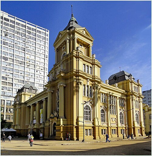
Ricardo Frantz tetraktys (talk) 15:31, 30 July 2011 (UTC) / CC BY 3.0
historic siteRio Grande do Sul Museum of Art
Historical heritage listed by the Institute of Historical and Artistic Heritage of the State of Rio Grande do Sul in the city of Porto Alegre
Getting there Nearest stop or station Terminal Cassiano Nascimento, about 2 min on foot OpenStreetMap
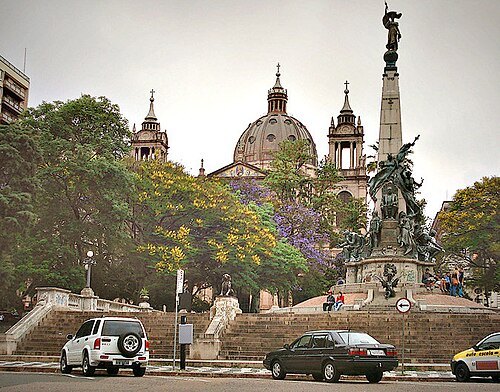
Ricardo André Frantz (User:Tetraktys) / CC BY-SA 3.0
squarePraça Marechal Deodoro
square in Porto Alegre, Brazil
Getting there Nearest stop or station Terminal de Lotação Rua Marechal Flores da Cunha, about 5 min on foot OpenStreetMap
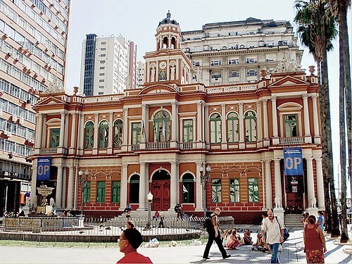
Ricardo André Frantz (User:Tetraktys) / CC BY-SA 3.0
historic sitePaço Municipal de Porto Alegre
building in Porto Alegre, Brazil
Getting there Nearest stop or station Terminal de Lotação Avenida Borges de Medeiros / Edifício União, about 1 min on foot OpenStreetMap
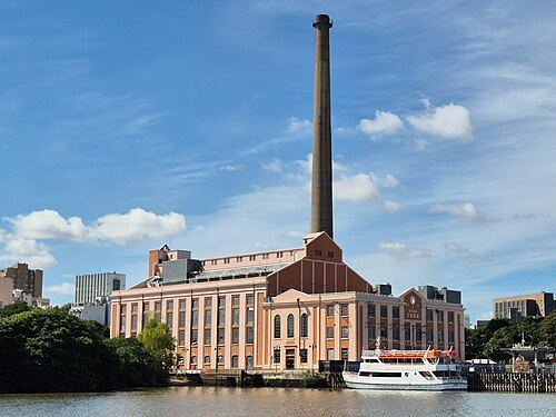 historic site
Usina do Gasômetro
building in Rio Grande do Sul, Brazil
Getting there Nearest stop or station Terminal Cassiano Nascimento, about 19 min on foot OpenStreetMap
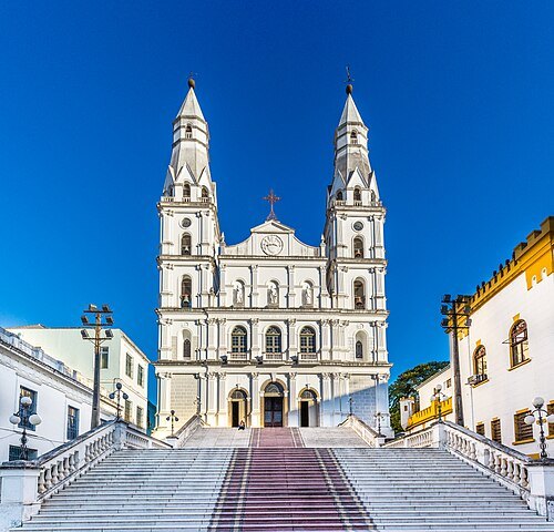
Jorge Juno Goi Bengochea / CC BY-SA 4.0
church buildingOur Lady of Sorrows Church
church building in Rio Grande do Sul, Brazil
Getting there Nearest stop or station Terminal Cassiano Nascimento, about 11 min on foot OpenStreetMap
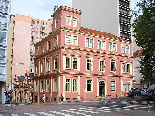
Ricardo André Frantz (User:Tetraktys) / CC BY-SA 3.0
historic siteAntigo Palácio do Governo (Forte Apache)
Historical good listed by the Institute of Historical and Artistic Heritage of the State of Rio Grande do Sul in the city of Porto Alegre
Getting there Nearest stop or station Terminal de Lotação Rua Marechal Flores da Cunha, about 4 min on foot OpenStreetMap
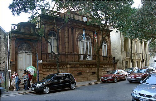
Ricardo André Frantz (User:Tetraktys) / CC BY-SA 3.0
historic siteJúlio de Castilhos Museum
museum in Porto Alegre, Brazil
Getting there Nearest stop or station Terminal de Lotação Rua Marechal Flores da Cunha, about 5 min on foot OpenStreetMap
- urban park
Farroupilha Park
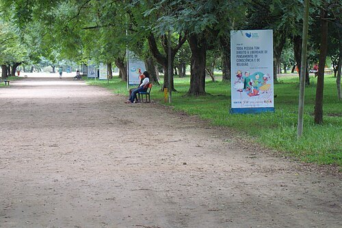
public park in Porto Alegre
Getting there Nearest stop or station Termina de Lotação Avenida Otávio Rocha, about 19 min on foot OpenStreetMap
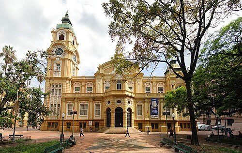
Ricardo André Frantz (User:Tetraktys) / CC BY-SA 3.0
museumMemorial do Rio Grande do Sul
Brazilian cultural center
Getting there Nearest stop or station Terminal de Lotação Rua 7 de Setembro, about 2 min on foot OpenStreetMap
 square
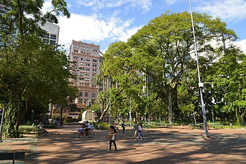
Praça da Alfândega
Historical good listed by the Institute of Historical and Artistic Heritage of the State of Rio Grande do Sul in the city of Porto Alegre
Getting there Nearest stop or station Terminal de Lotação Rua 7 de Setembro, about 3 min on foot OpenStreetMap
 museum
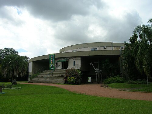
Museu de Ciências Naturais da Fundação Zoobotânica do Rio Grande do Sul
paleontology, Natural history museum. in Rio Grande do Sul, Brazil
Getting there Nearest stop or station Estação São Jorge, about 3 min on foot OpenStreetMap
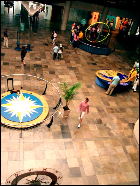
Daniela Cristina Wilwert from Brasil / CC BY 2.0
museumMuseum of Science and Technology
paleontology, natural history museum, science, technology. in Rio Grande do Sul, Brazil
Getting there Nearest stop or station Estação 3ª Perimetral / Ipiranga, about 12 min on foot OpenStreetMap
 historic site
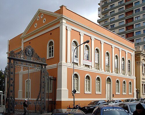
Antiga Provedoria da Real Fazenda
Historical good listed by the Institute of Historical and Artistic Heritage of the State of Rio Grande do Sul in the city of Porto Alegre
Getting there Nearest stop or station Terminal de Lotação Rua Marechal Flores da Cunha, about 8 min on foot OpenStreetMap
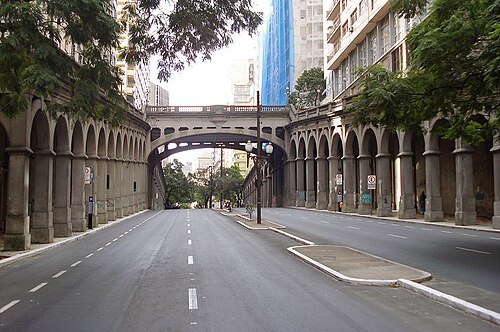 historic site
Viaduto Otávio Rocha
viaduct in Brazil
Getting there Nearest stop or station Terminal de Lotação Rua Marechal Flores da Cunha, about 4 min on foot OpenStreetMap
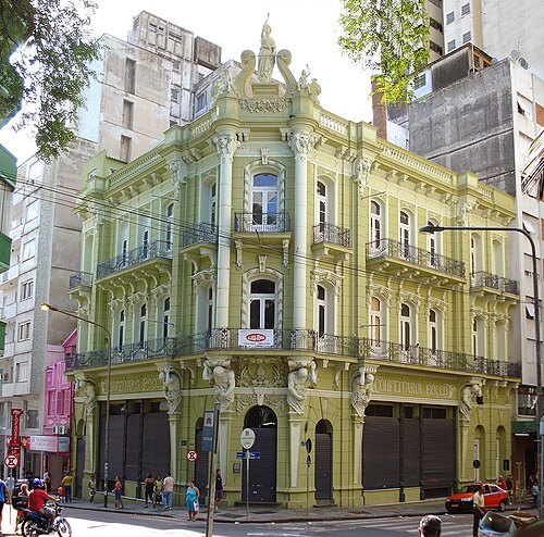
Ricardo André Frantz (User:Tetraktys) / CC BY-SA 3.0
historic siteConfeitaria Rocco
Brazilian historic building
Getting there Nearest stop or station Terminal de Lotação Rua Marechal Flores da Cunha, about 3 min on foot OpenStreetMap
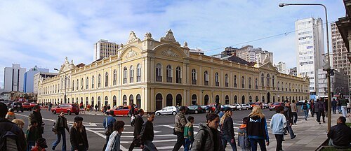
Tetraktys (Ricardo André Frantz) / CC BY-SA 3.0
historic sitePorto Alegre Public Market
market building in Porto Alegre, Brazil
Getting there Nearest stop or station Terminal Parobé, about 1 min on foot OpenStreetMap
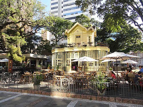
Ricardo André Frantz (User:Tetraktys) / CC BY-SA 3.0
historic siteChalé da Praça XV
Restaurant
Getting there Nearest stop or station Terminal de Lotação Avenida Borges de Medeiros / Edifício União, about 1 min on foot OpenStreetMap
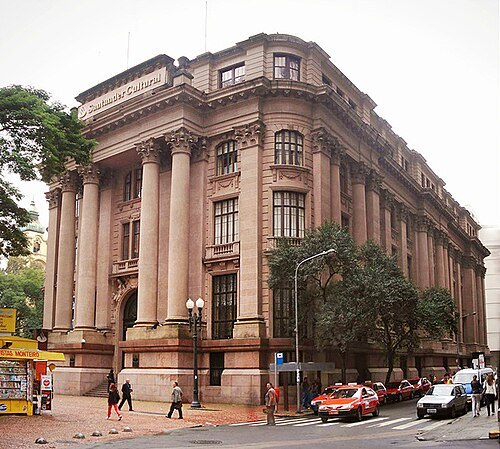
Ricardo André Frantz / CC BY-SA 3.0
cultural centerFarol Santander
Historical good listed by the Institute of Historical and Artistic Heritage of the State of Rio Grande do Sul in the city of Porto Alegre
Getting there Nearest stop or station Terminal de Lotação Rua 7 de Setembro, about 2 min on foot OpenStreetMap
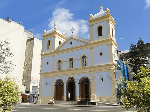 church building
Igreja de Nossa Senhora da Conceição
church in Porto Alegre, Brasil
Getting there Nearest stop or station Termina de Lotação Avenida Otávio Rocha, about 7 min on foot OpenStreetMap
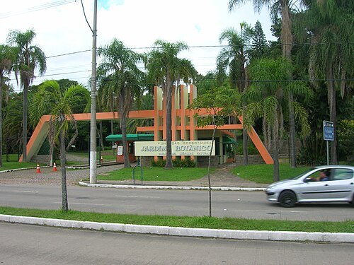 botanical garden
Porto Alegre Botanical Garden
Garden in Porto Alegre, Brazil
Getting there Nearest stop or station Estação 3ª Perimetral / Ipiranga, about 15 min on foot OpenStreetMap
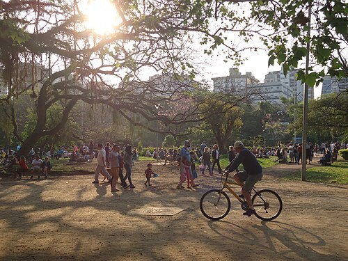
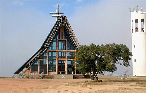
Ricardo André Frantz (User:Tetraktys) / CC BY-SA 3.0
church buildingSantuário Nossa Senhora Mãe de Deus
church in Porto Alegre, Brazil
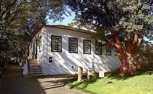
Ricardo André Frantz (User:Tetraktys) / CC BY-SA 3.0
museumMuseu de Porto Alegre Joaquim Felizardo
museum in Brazil
Getting there Nearest stop or station Terminal de Lotação Rua Marechal Flores da Cunha, about 19 min on foot OpenStreetMap
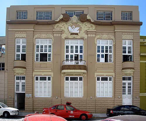 museum
Museu da Brigada Militar
museum in Brazil
Getting there Nearest stop or station Terminal Cassiano Nascimento, about 11 min on foot OpenStreetMap
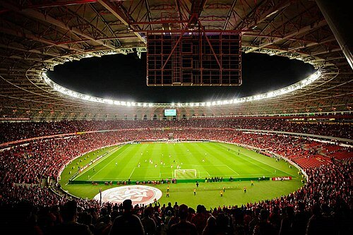
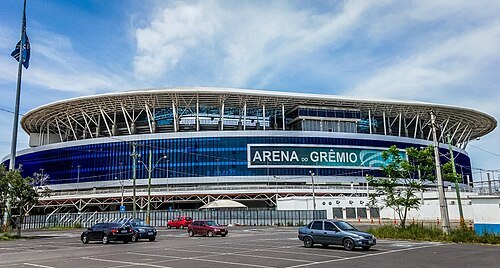
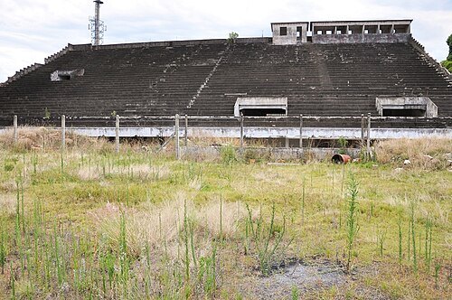
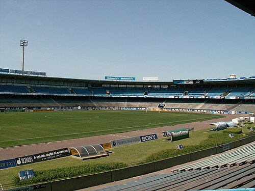 association football venue
Estádio Olímpico Monumental
football stadium in Porto Alegre
Getting there Nearest stop or station Terminal Azenha, about 18 min on foot OpenStreetMap
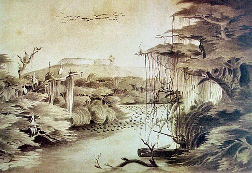
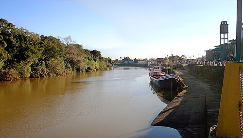
Xnak at Portuguese Wikipedia / Public domain
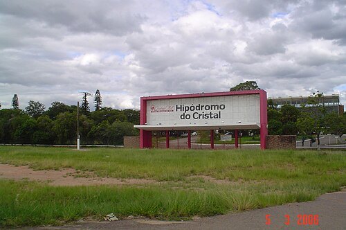
horse racing venueHipodromo do Cristal
horse racing venue
Getting there Nearest stop or station Píer BarraShoppingSul, about 12 min on foot OpenStreetMap
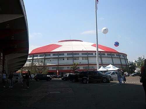
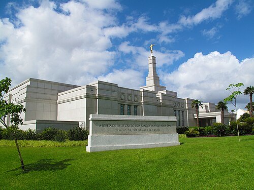
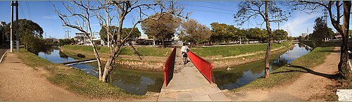
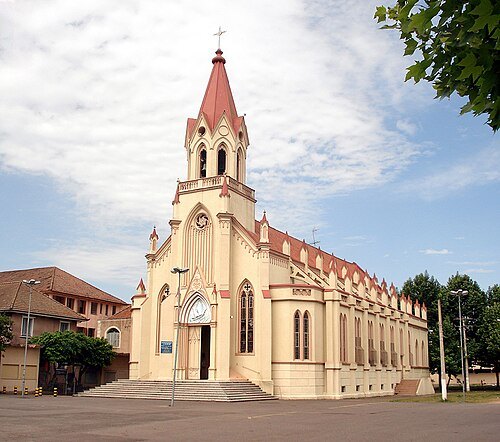
Ricardo André Frantz (User:Tetraktys) / CC BY-SA 3.0
parish churchOur Lady of Navigators church
church in Rio Grande do Sul, Brazil
Getting there Nearest stop or station Farrapos, about 10 min on foot OpenStreetMap
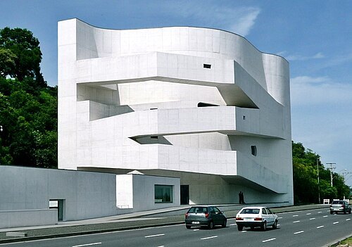
(WT-shared) Ricardo Rmx / CC BY-SA 3.0
museumIberê Camargo Foundation
museum in Porto Alegre, Brazil
Getting there Nearest stop or station Pier Pontal, about 6 min on foot OpenStreetMap
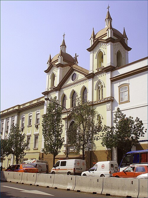
Ricardo André Frantz (User:Tetraktys) / CC BY-SA 3.0
church buildingCapela Senhor dos Passos da Santa Casa de Misericórdia
church in Porto Alegre, Brazil
Getting there Nearest stop or station Termina de Lotação Avenida Otávio Rocha, about 4 min on foot OpenStreetMap
- island
Ilha da Pintada
island in Rio Grande do Sul, Brazil
- mountain
Morro da Polícia
mountain in Brazil
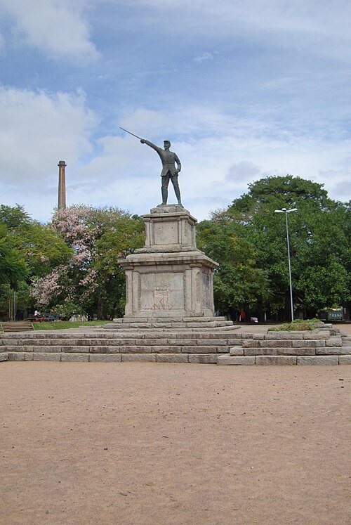
Eugenio Hansen, OFS / CC BY-SA 3.0
squarePraça Brigadeiro Sampaio
Getting there Nearest stop or station Terminal Cassiano Nascimento, about 13 min on foot OpenStreetMap
- mountain
Morro do Osso
mountain in Brazil
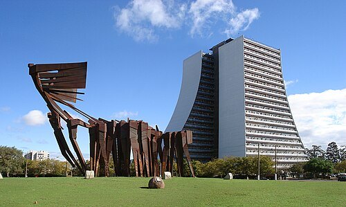
Ricardo André Frantz (User:Tetraktys) / CC BY-SA 3.0
sculptureMonumento aos Açorianos
building in Porto Alegre, Brazil
Getting there Nearest stop or station Terminal de Lotação Rua Marechal Flores da Cunha, about 14 min on foot OpenStreetMap
- museum
Instituto Histórico e Geográfico do Rio Grande do Sul
Learned society
Getting there Nearest stop or station Terminal de Lotação Rua Marechal Flores da Cunha, about 3 min on foot OpenStreetMap
- road bridge
Azenha Bridge
Brazilian bridge
Getting there Nearest stop or station Terminal Azenha, about 7 min on foot OpenStreetMap
- island
Ilha do Pavão
island in Rio Grande do Sul, Brazil
Getting there Nearest stop or station Atracadouro do GNU, about 4 min on foot OpenStreetMap
- music venue
Bar Ocidente
Getting there Nearest stop or station Termina de Lotação Avenida Otávio Rocha, about 20 min on foot OpenStreetMap
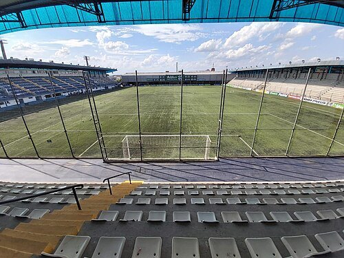
- state park
Jacuí Delta State Park
state park in Rio Grande do Sul, Brazil
- museum
Museu de Topografia Prof. Laureano Ibrahim Chaffe
museum in Porto Alegre, Rio Grande do Sul
Getting there Nearest stop or station Terminal UFRGS Campus do Vale, about 13 min on foot OpenStreetMap
- river
Capivara Stream
river in Brazil
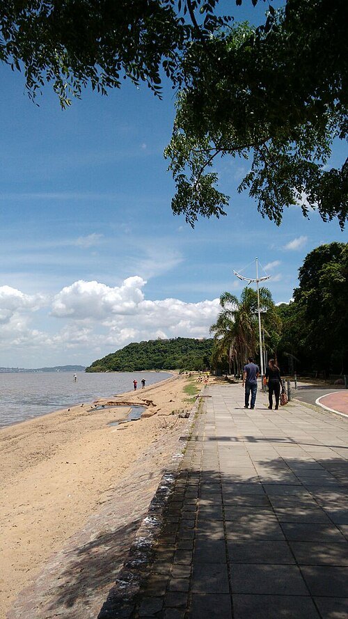 hill
Morro do Sabiá
mountain in Brazil
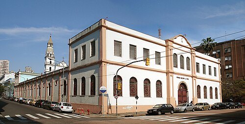
Ricardo André Frantz (User:Tetraktys) / CC BY-SA 3.0
museumMuseu do Comando Militar do Sul
Getting there Nearest stop or station Terminal Cassiano Nascimento, about 9 min on foot OpenStreetMap


Places to eat
- cafe
Café Colonial Bela Vista
Food: café colonial
- restaurant
Bar Anticuario
Food: uruguayan
- restaurant
Baru
Food: regional
- cafe
Café Cartum
Food: coffee
- restaurant
Casa Vecchia Ristorante
Food: italian
- restaurant
Churrascaria Giovanaz
Food: regional
- cafe
Donna Laura Doces e Salgados
Food: regional
Nothing here matches that. Clear a filter and try again.
Opening hours and tickets: OpenStreetMap contributors. Each one shows the day a volunteer last wrote it down, so check the official site before you set out.