Nova Iguaçu: what to see and where to eat
Everything below comes from open data and each row says where it came from. We have not been to any of these places and we do not rank them.
Filters
Things to see
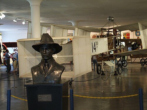 aviation museum
Museu Aeroespacial
aerospace museum in Rio de Janeiro, Brazil
Getting there Nearest stop or station Terminal Sulacap, about 16 min on foot OpenStreetMap
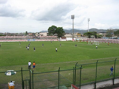
- arena
Deodoro Arena
Multi-purpose indoor arena in Deodoro, Rio de Janeiro, Brazil
Getting there Nearest stop or station Vila Militar, about 6 min on foot OpenStreetMap
- stadium
Deodoro Stadium
Temporary stadium in Deodoro, Rio de Janeiro, Brazil
Getting there Nearest stop or station Vila Militar, about 8 min on foot OpenStreetMap
- sports venue
Olympic Hockey Center
Olympic venue of Rio de Janeiro 2016
Getting there Nearest stop or station Vila Militar, about 3 min on foot OpenStreetMap
- sports venue
Olympic BMX Center
cycling venue in Rio de Janeiro, Brazil
Getting there Nearest stop or station São José de Magalhães Bastos, about 17 min on foot OpenStreetMap
- event venue
Deodoro Aquatics Centre
swimming venue in Deodoro, Rio de Janeiro, Brazil
Getting there Nearest stop or station Vila Militar, about 3 min on foot OpenStreetMap
- sports venue
National Equestrian Center
center in Rio de Janeiro
Getting there Nearest stop or station Padre João Cribbin, about 11 min on foot OpenStreetMap
- event venue
Olympic Mountain Bike Park
recreational attraction in Brazil
Getting there Nearest stop or station São José de Magalhães Bastos, about 17 min on foot OpenStreetMap
- river
Acari River
river in Rio de Janeiro, Brazil
Getting there Nearest stop or station Mocidade/Padre Miguel, about 13 min on foot OpenStreetMap
- mountain range
Serra do Mendanha
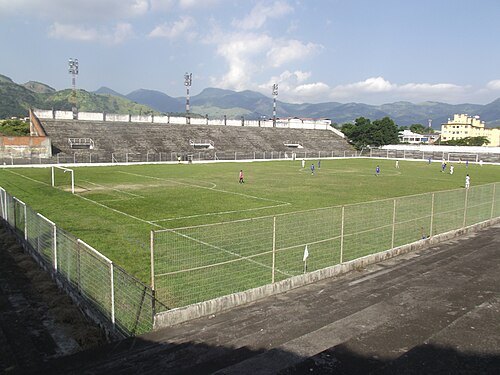 association football venue
Estádio Ítalo del Cima
football stadium in Campo Grande, Rio de Janeiro, Brazil
Getting there Nearest stop or station Terminal BRT Campo Grande, about 15 min on foot OpenStreetMap
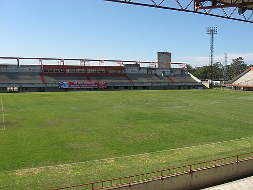 stadium
Estádio Giulite Coutinho
Football stadium in Rio de Janerio, Brazil
Getting there Nearest stop or station Edson Passos, about 5 min on foot OpenStreetMap
- river
Pavuna River
river in Brazil
Getting there Nearest stop or station Pavuna/São João de Meriti, about 3 min on foot OpenStreetMap
- mountain range
Serra do Engenho Velho
- mountain range
Serra do Barata
- mountain range
Serra do Valqueire
- mountain range
Serra da Taquara
- mountain range
Serra da Caixa D'Água
- mountain range
Serra do Viegas
- mountain range
Serra do Lameirão
- mountain range
Serra de Madureira
- mountain range
Serra da Pedra Branca
- mountain range
Serra do Rio Pequeno
- mountain range
Serra do Rosário
- mountain range
Serra do Vulcão
- mountain range
Serra do Ipiranga
- event venue
Deodoro Military Club
Brazilian army sport facility
Getting there Nearest stop or station Padre João Cribbin, about 7 min on foot OpenStreetMap
- river
Rio Piraquara
river in Brazil
Getting there Nearest stop or station Magalhães Bastos, about 8 min on foot OpenStreetMap
- stadium
Estádio Conselheiro Galvão
Getting there Nearest stop or station Mercadão, about 3 min on foot OpenStreetMap
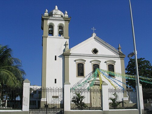
No machine-readable author provided. Nelson-nit assumed (based on copyright claims). / CC BY 2.5
- mountain
Morro do Juramento
mountain in Brazil
Getting there Nearest stop or station Thomáz Coelho, about 13 min on foot OpenStreetMap
- mountain range
Serra da Misericórdia
Getting there Nearest stop or station Palmeiras, about 19 min on foot OpenStreetMap
- mountain range
Serra de Gericinó
- mountain range
Serra do Juramento
Getting there Nearest stop or station Vicente de Carvalho, about 18 min on foot OpenStreetMap
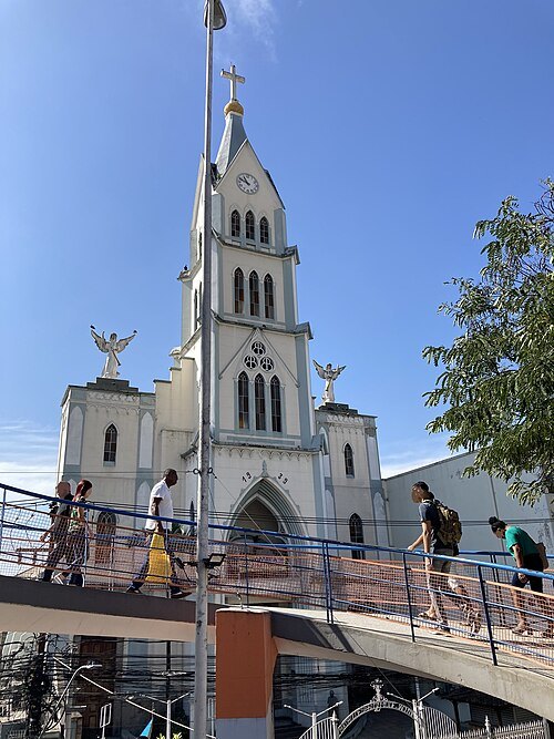 catholic cathedral
Cathedral of St. Anthony
Getting there Nearest stop or station Nova Iguaçu, about 5 min on foot OpenStreetMap


Places to eat
- restaurant
Peixe do Vanor
Food: regional, brazilian
Nothing here matches that. Clear a filter and try again.
Opening hours and tickets: OpenStreetMap contributors. Each one shows the day a volunteer last wrote it down, so check the official site before you set out.