Manaus: what to see and where to eat
Everything below comes from open data and each row says where it came from. We have not been to any of these places and we do not rank them.
Filters
Things to see
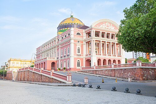 historic site
Amazon Theatre
Opera house in Manaus, Brazil
Getting there Nearest stop or station Terminal Matriz, about 11 min on foot OpenStreetMap
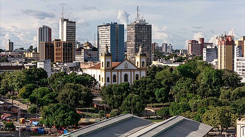 catholic cathedral
Catedral Metropolitana de Manaus
church building in Amazonas, Brazil
Getting there Nearest stop or station Terminal Matriz, about 1 min on foot OpenStreetMap
- historic site
Port of Manaus
Brazilian river port
Getting there Nearest stop or station Roadway Porto Público de Manaus, about 20 min on foot OpenStreetMap
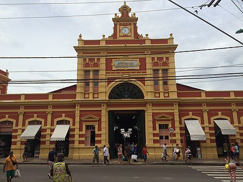
Paulo JC Nogueira / CC BY-SA 3.0
market hallMercado Adolpho Lisboa
market hall in Manaus, Brazil
Getting there Nearest stop or station Roadway Porto Público de Manaus, about 7 min on foot OpenStreetMap
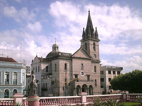 historic site
Igreja de São Sebastião
church in Manaus, Amazonas, Brazil
Getting there Nearest stop or station Terminal Matriz, about 12 min on foot OpenStreetMap
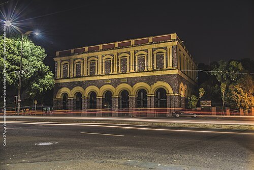
DERIVALDO MOTA DA SILVA / CC BY-SA 4.0
historic siteMocó Reservoir
water reservoir located in the city of Manaus, listed by the historical heritage
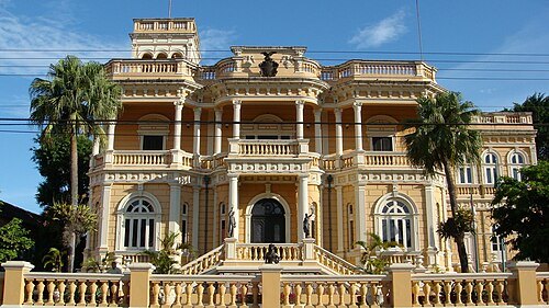 historic site
Rio Negro Palace
residence of the governor of the state of Amazonas
Getting there Nearest stop or station Terminal Matriz, about 16 min on foot OpenStreetMap
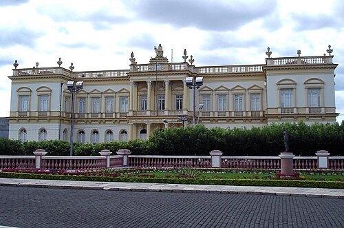
Fernando Dall'Acqua / CC BY 2.0
historic sitePalácio da Justiça do Amazonas
palace in the Brazilian city of Manaus, Amazonas
Getting there Nearest stop or station Terminal Matriz, about 10 min on foot OpenStreetMap
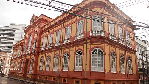 historic site
Biblioteca Pública Do Amazonas
Public Library in Brazil
Getting there Nearest stop or station Terminal Matriz, about 5 min on foot OpenStreetMap
 historic site
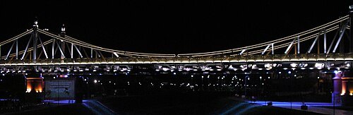
Benjamin Constant suspended bridge
Brazilian suspended bridge in Manaus, Amazonas
Getting there Nearest stop or station Plataforma B, about 16 min on foot OpenStreetMap
- stadium
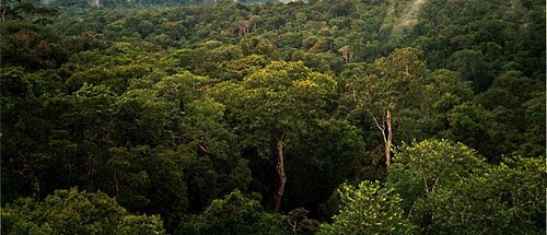
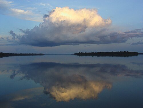
Arena Amazônia
football stadium in Manaus, Amazonas, Brazil
Getting there Nearest stop or station Arena (Estação de Transferência), about 4 min on foot OpenStreetMap
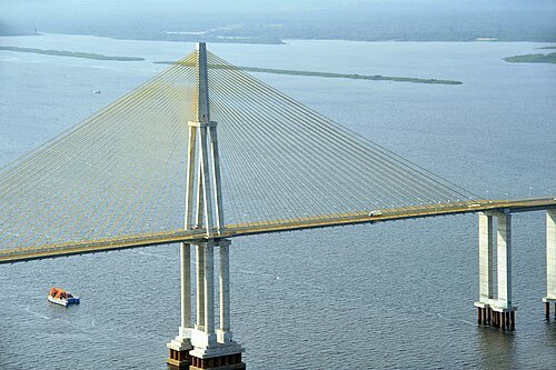
- stadium
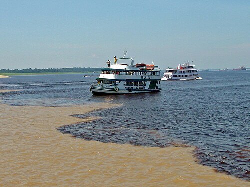
Vivaldão
stadium
Getting there Nearest stop or station Arena (Estação de Transferência), about 4 min on foot OpenStreetMap
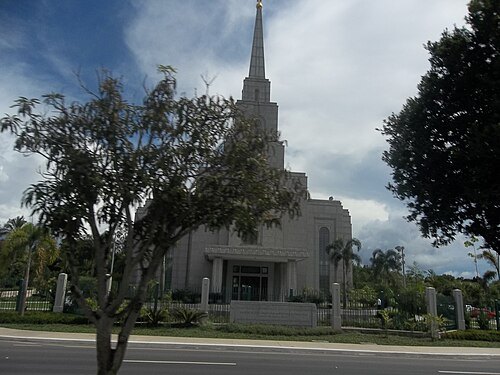
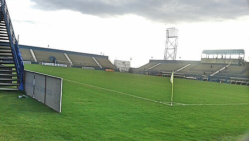 stadium
Estádio Ismael Benigno
Estadio Amazonia
Getting there Nearest stop or station Terminal Constantino Nery (T1) - Plataforma B, about 19 min on foot OpenStreetMap
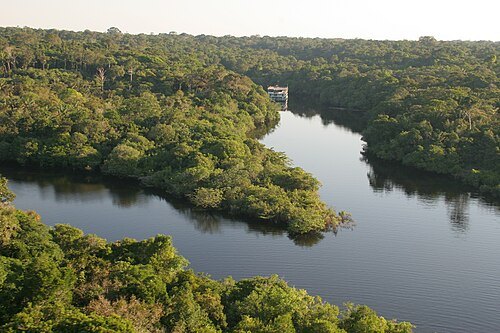
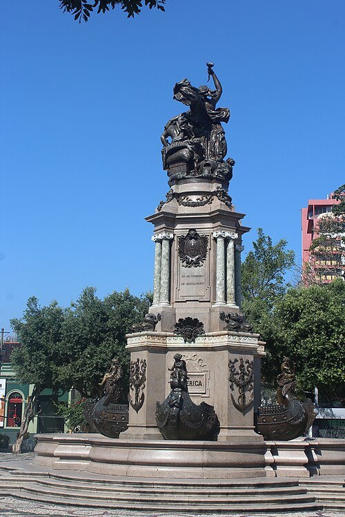 monument
Monument Abertura dos Portos
monument in Manaus, Amazonas, Brazil
Getting there Nearest stop or station Terminal Matriz, about 11 min on foot OpenStreetMap
- association football venue
Estádio Municipal Carlos Zamith
Football venue in Brazil
Getting there Nearest stop or station Terminal Constantino Nery (T1) - Plataforma B, about 13 min on foot OpenStreetMap
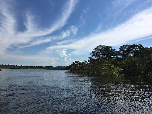
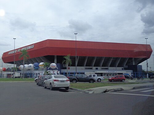 arena
Amadeu Teixeira Arena
Indoor sporting arena in Manaus, Brazil
Getting there Nearest stop or station Arena (Estação de Transferência), about 1 min on foot OpenStreetMap
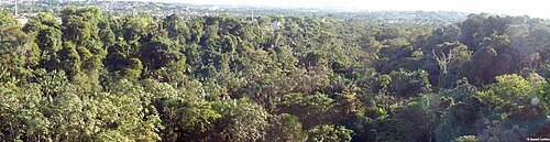 state park
Sumaúma State Park
state park in the city of Manaus, Amazonas
Getting there Nearest stop or station Terminal Cidade Nova - T3, about 10 min on foot OpenStreetMap
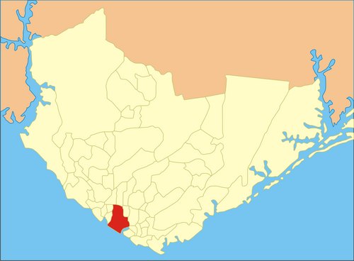 synagogue
Beit Yaacov/Rabi Meyr Synagogue
Synagogue in Manaus, Brazil
Getting there Nearest stop or station Terminal Constantino Nery (T1) - Plataforma A, about 5 min on foot OpenStreetMap


Places to eat
- restaurant
Clube do Peixe
Food: regional
- restaurant
Amazonico Peixaria Regional
Food: regional
- restaurant
Finos Sabores Restaurante
Food: regional
- restaurant
Largo Tacacaria e Restaurante
Food: regional
Nothing here matches that. Clear a filter and try again.
Opening hours and tickets: OpenStreetMap contributors. Each one shows the day a volunteer last wrote it down, so check the official site before you set out.