Fortaleza: what to see and where to eat
Everything below comes from open data and each row says where it came from. We have not been to any of these places and we do not rank them.
Filters
Things to see
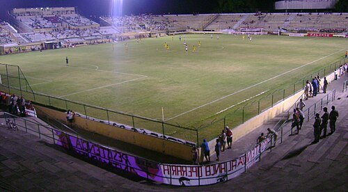
pt:Usuário:Mansueto77 / Public domain
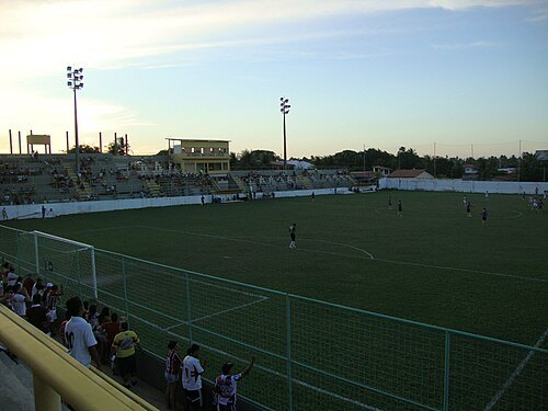
association football venueEstádio Presidente Vargas
football stadium located in Fortaleza, Ceará, Brazil
Getting there Nearest stop or station Benfica, about 12 min on foot OpenStreetMap
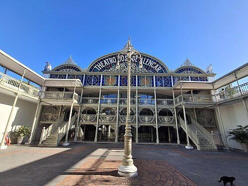 cultural heritage
Teatro José de Alencar
theatre in Fortaleza, Ceará, Brasil
Getting there Nearest stop or station Terminal José de Alencar, about 2 min on foot OpenStreetMap
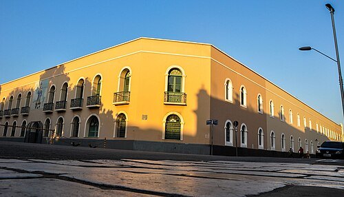
Cordeiro Foto e Vídeo e Estúdio Fotográfico / CC BY-SA 4.0
historic siteFortress of Our Lady of the Assumption
fort in Fortaleza, Ceará, Brazil
Getting there Nearest stop or station Terminal José de Alencar, about 13 min on foot OpenStreetMap
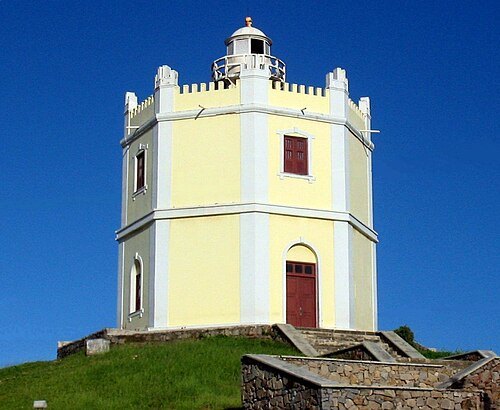
David Moraes de Andrade / CC BY 3.0
historic siteMucuripe Lighthouse (old)
lighthouse in Ceará, Brazil
Getting there Nearest stop or station Maritime Passenger Terminal, about 9 min on foot OpenStreetMap
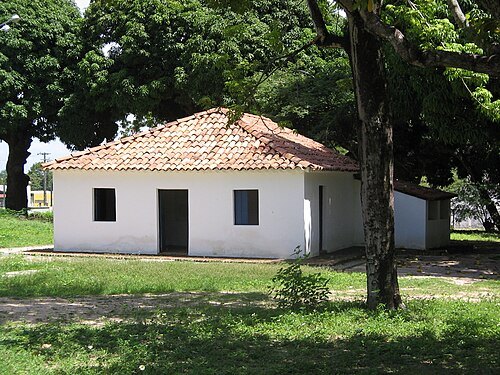 cultural center
Casa de José de Alencar
Getting there Nearest stop or station Terminal Washington Soares, about 7 min on foot OpenStreetMap
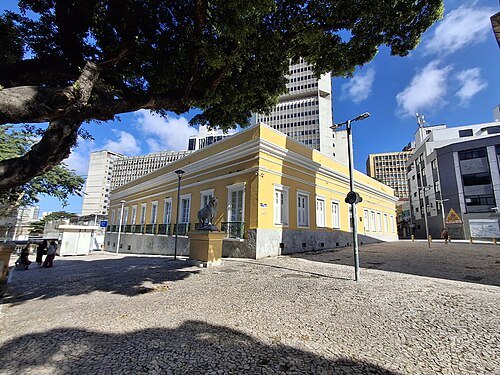 historic site
Palácio da Luz
former head office of the government of Ceará state, Brazil
Getting there Nearest stop or station Terminal Sagrado Coração de Jesus, about 9 min on foot OpenStreetMap
- ecological park
Cocó Park
area of conservation and state park located in the city of Fortaleza, Ceará, Brazil
Getting there Nearest stop or station Antônio Sales, about 13 min on foot OpenStreetMap
- historic site
Ponte dos Ingleses
historic bridge in Fortaleza, Brazil
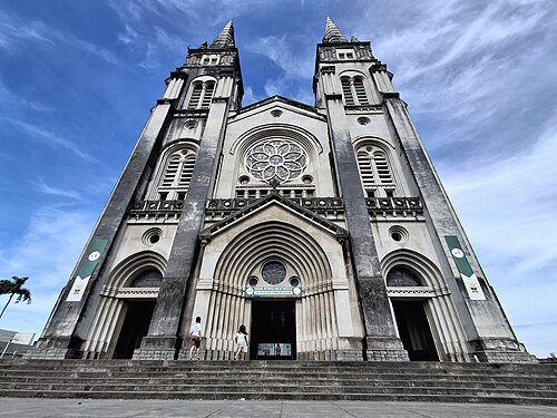 catholic cathedral
St. Joseph's Cathedral, Fortaleza
church in Fortaleza, Brazil
Getting there Nearest stop or station Terminal José de Alencar, about 13 min on foot OpenStreetMap
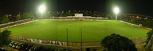
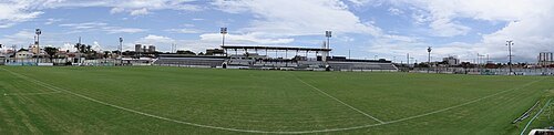 stadium
Estádio Carlos de Alencar Pinto
football stadium located in Fortaleza, Ceará, Brazil
Getting there Nearest stop or station Padre Cícero, about 2 min on foot OpenStreetMap
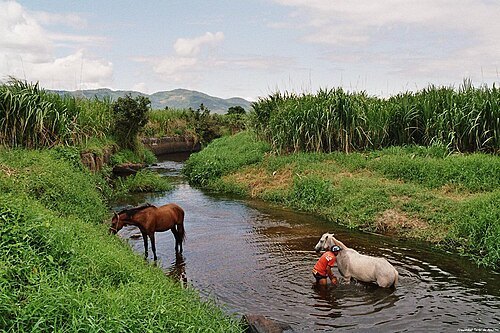
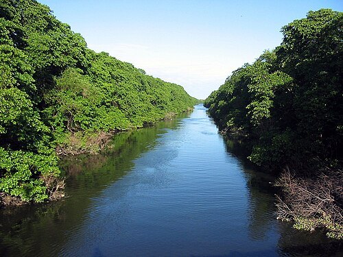
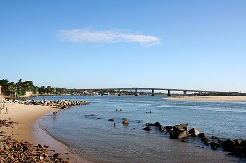 river
Ceara River
The Ceará River is a Brazilian river that bathes the state of Ceará.
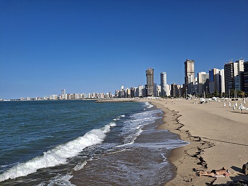
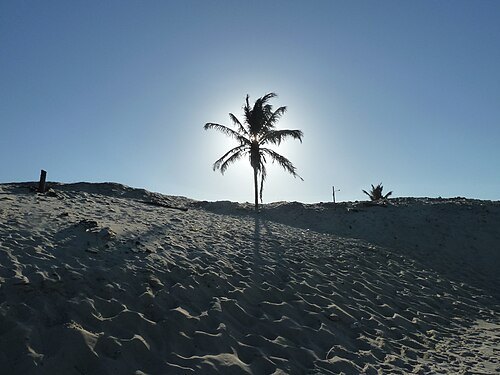
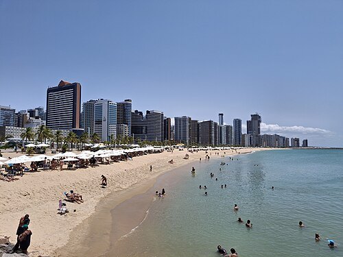 beach
Praia do Meireles
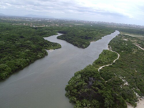
Reservasapiranga / CC BY-SA 4.0
riverCoaçu river
river in Brazil
 beach
Icaraí beach
beach of the municipality of Caucaia, Ceará, Brazil
 museum
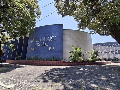
Universidade Federal do Ceará. Museu de Arte
museum in Brazil
Getting there Nearest stop or station Benfica, about 2 min on foot OpenStreetMap
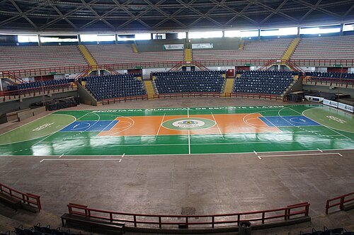 sports venue
Ginásio Paulo Sarasate
Arena in Brazil
Getting there Nearest stop or station Terminal São Benedito (D. Olímpio), about 18 min on foot OpenStreetMap


Places to eat
- restaurant
Del Rey Sushibar
Food: sushi, japanese
- restaurant
Alemão Brauhaus
Food: german
- restaurant
Amazon Restaurante
Food: fish
- restaurant
Anzio Gastronomia
Food: italian, pasta
- restaurant
Bao Bao
Food: asian
- restaurant
Barraca Ceará Show
Food: regional, seafood
- restaurant
Barraca Tropical Expresso
Food: regional, seafood
- restaurant
Barraca da Boa
Food: regional, seafood
- restaurant
Barraca do Brasil
Food: regional, seafood
Nothing here matches that. Clear a filter and try again.
Opening hours and tickets: OpenStreetMap contributors. Each one shows the day a volunteer last wrote it down, so check the official site before you set out.