Belo Horizonte: what to see and where to eat
Everything below comes from open data and each row says where it came from. We have not been to any of these places and we do not rank them.
Filters
Things to see
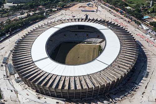
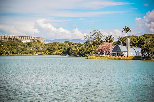 cultural heritage
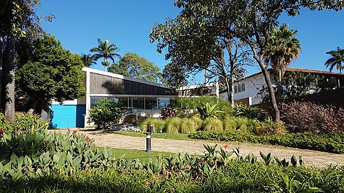
Pampulha Modern Ensemble
UNESCO World Heritage Site in Minas Gerais, Brazil
Getting there Nearest stop or station Estação Santa Rosa - MOVE BH, about 15 min on foot OpenStreetMap
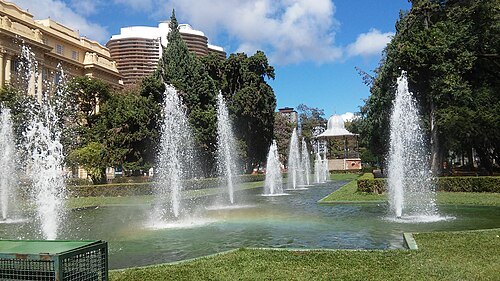 square
Praça da Liberdade
urban square in Belo Horizonte, Brazil
Getting there Nearest stop or station Conexão Aeroporto, about 10 min on foot OpenStreetMap
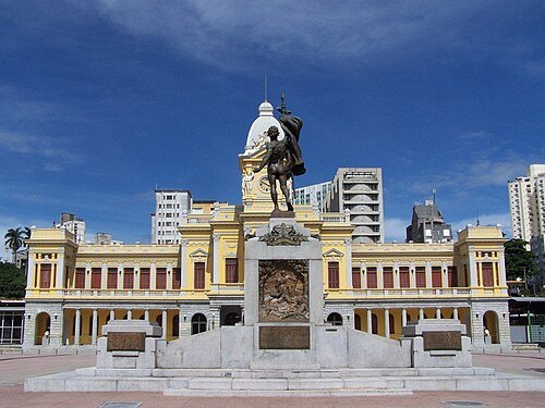 historic site
Praça Rui Barbosa
public square in Belo Horizonte
Getting there Nearest stop or station Estação Central, about 2 min on foot OpenStreetMap
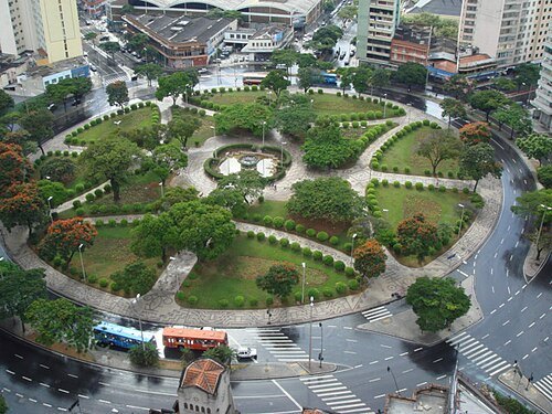 historic site
Praça Raul Soares
square in Belo Horizonte, Minas Gerais, Brasil
Getting there Nearest stop or station Intermunicipais, about 6 min on foot OpenStreetMap
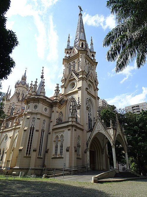
Paulo SP/ Wikimedia / CC BY-SA 4.0
historic siteCatedral de Nossa Senhora da Boa Viagem (Belo Horizonte)
church in Belo Horizonte, Brazil
Getting there Nearest stop or station Conexão Aeroporto, about 7 min on foot OpenStreetMap
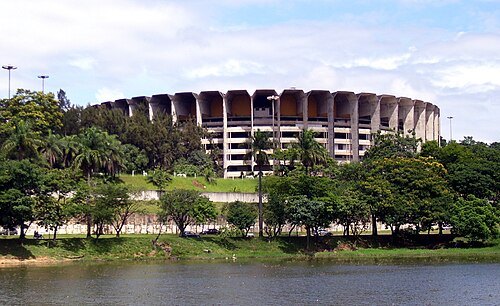
No machine-readable author provided. Cidcn assumed (based on copyright claims). / CC BY 2.5
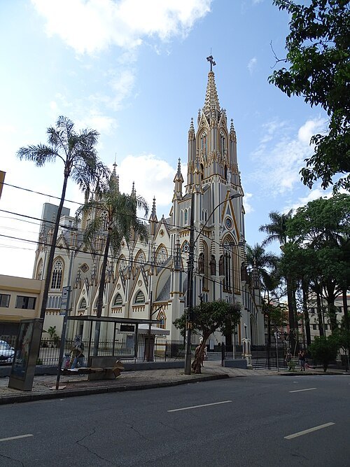
Paulo SP/ Wikimedia / CC BY-SA 4.0
minor basilicaBasilica of Our Lady of Lourdes, Belo Horizonte
church building in Belo Horizonte, Brazil
Getting there Nearest stop or station Conexão Aeroporto, about 4 min on foot OpenStreetMap
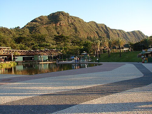
Eduardo Elias Camponez / CC BY 2.0
mountainSerra do Curral
mountain range in Brazil
Getting there Nearest stop or station 4111 - Final (UEMG), about 20 min on foot OpenStreetMap
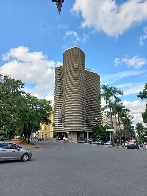 historic site
Niemeyer building
building in Brazil
Getting there Nearest stop or station Conexão Aeroporto, about 11 min on foot OpenStreetMap
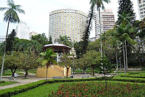 park
Américo Renné Giannetti Municipal Park
urban park in Belo Horizonte, Brazil
Getting there Nearest stop or station Intermunicipal, about 7 min on foot OpenStreetMap
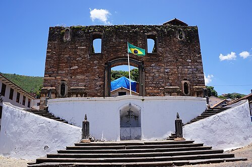 ruins
Church of Our Lady of the Rosary of Black Men (Sabará)
unfinished catholic church building in Sabará, Brazil
Getting there Nearest stop or station Porto da Ponte Grande, about 9 min on foot OpenStreetMap
Paulo SP/ Wikimedia / CC BY-SA 4.0
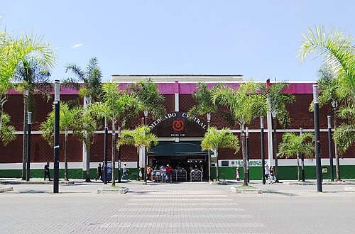
market hallCentral Market of Belo Horizonte
market hall in Belo Horizonte, Brazil
Getting there Nearest stop or station Intermunicipais, about 5 min on foot OpenStreetMap
Paulo SP/ Wikimedia / CC BY-SA 4.0
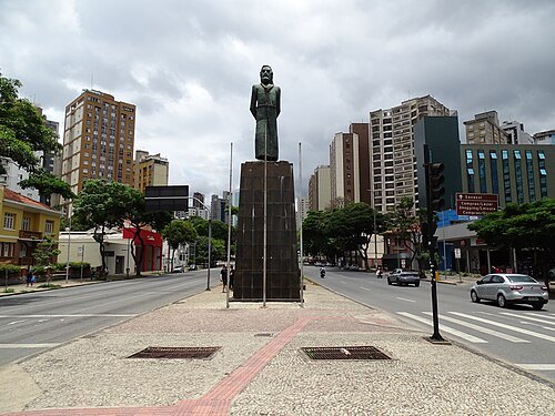
historic siteTiradentes Square
square in Belo Horizonte, Brazil
Getting there Nearest stop or station Conexão Aeroporto, about 12 min on foot OpenStreetMap
 church building
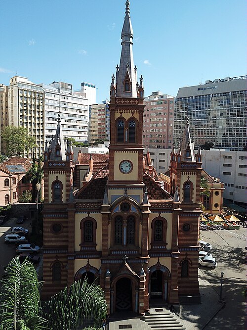
Saint Joseph Church (Belo Horizonte)
Catholic church in Belo Horizonte, Brazil
Getting there Nearest stop or station Estação Tamoios, about 7 min on foot OpenStreetMap
 historic site
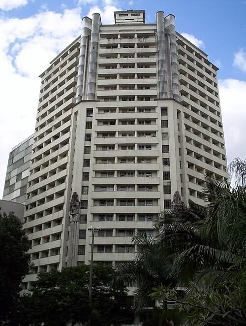
Acaiaca building
building in Belo Horizonte, Brazil
Getting there Nearest stop or station Intermunicipal, about 5 min on foot OpenStreetMap
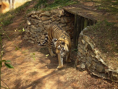
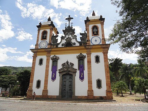
Ricardo André Frantz / CC BY 3.0
church buildingChurch of Our Lady of Mount Carmel
Sabará, Minas Gerais, Brasil
Getting there Nearest stop or station Porto da Ponte Grande, about 14 min on foot OpenStreetMap
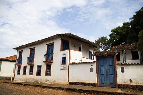
Ministério da Cultura / CC BY 2.0
museumFormer Gold Assaying Office and Royal Foundry (Gold Museum)
museum in Brazil
Getting there Nearest stop or station Porto da Ponte Grande, about 14 min on foot OpenStreetMap
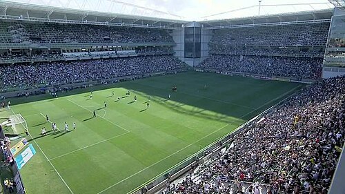 association football venue
Estádio Independência
football stadium
Getting there Nearest stop or station Estação Horto, about 9 min on foot OpenStreetMap
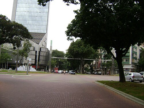
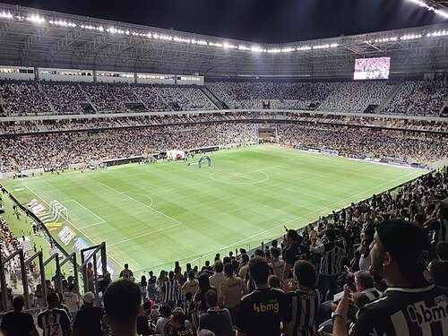
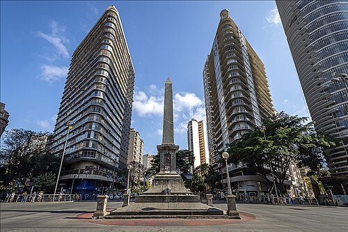 square
Praça Sete de Setembro
Public square in Belo Horizonte
Getting there Nearest stop or station Estação Carijós, about 6 min on foot OpenStreetMap
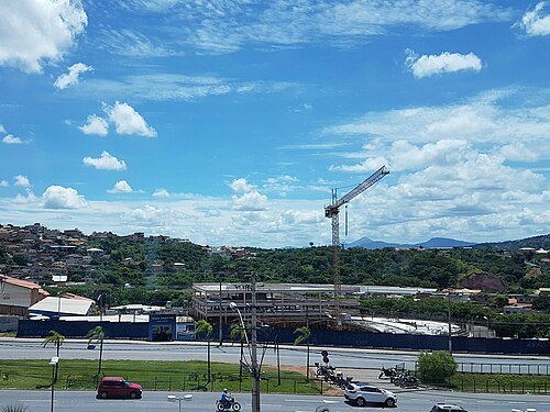 cathedral
Christ the King Cathedral, Belo Horizonte
church in Belo Horizonte, Brazil
Getting there Nearest stop or station Estação de Metrô Vilarinho, about 4 min on foot OpenStreetMap
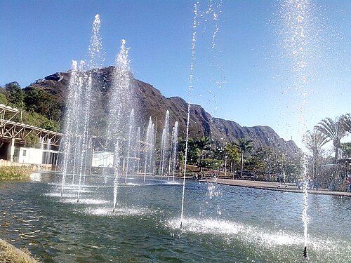 park
Mangabeiras Park
urban park in Brazil
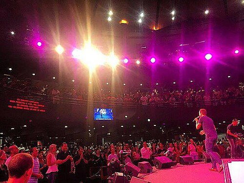
DavidStarIsrael7 / CC BY-SA 4.0
church buildingLagoinha Church
church in Minas Gerais, Brazil
Getting there Nearest stop or station Estação IAPI - MOVE BH, about 1 min on foot OpenStreetMap
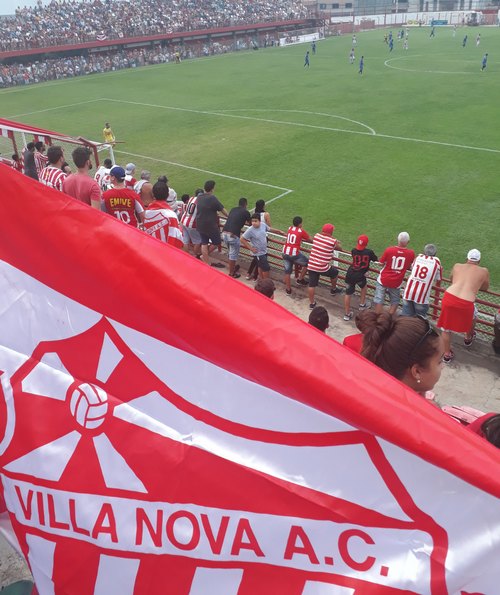 stadium
Estádio Castor Cifuentes
football stadium Nova Lima, Brazil
Getting there Nearest stop or station Rodoviária de Nova Lima, about 6 min on foot OpenStreetMap
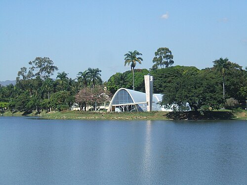
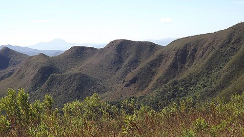
- mountain
Serra da Calçada
mountain range in Brazil
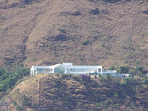
Bernardo Gouvêa / Public domain
palacePalácio das Mangabeiras (corrigir foto)
residence for the governor of Minas Gerais state, Brazil
Getting there Nearest stop or station 4111 - Final (UEMG), about 13 min on foot OpenStreetMap
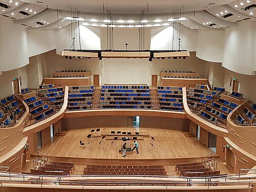 concert hall
Sala Minas Gerais
concert hall in Belo Horizonte, Brazil
Getting there Nearest stop or station Estação Carlos Prates, about 17 min on foot OpenStreetMap
- stadium
Estádio Presidente Antônio Carlos
stadium in Belo Horizonte, Brazil
Getting there Nearest stop or station Conexão Aeroporto, about 14 min on foot OpenStreetMap


Places to eat
- restaurant
Kero Kero
Food: burger
- restaurant
Mustache Pizzaria
Food: pizza
- restaurant
OD GROWLER STATION LTDA
Food: burger, fast food, cerveja, chopp artesanal, porções, carne, bar and grill, grill, barbecue
- cafe
Tabuleiro Cafe
Food: regional
Nothing here matches that. Clear a filter and try again.
Opening hours and tickets: OpenStreetMap contributors. Each one shows the day a volunteer last wrote it down, so check the official site before you set out.