Višegrad: what to see and where to eat
Everything below comes from open data and each row says where it came from. We have not been to any of these places and we do not rank them.
Filters
Things to see
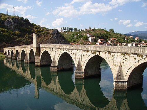 stone bridge
Mehmed Paša Sokolović Bridge
bridge in Bosnia and Herzegovina
Getting there Nearest stop or station Visegrad, about 11 min on foot OpenStreetMap
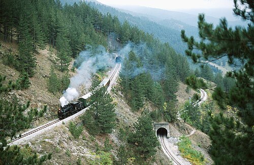
Herbert Ortner, Vienna, Austria / CC BY 2.5
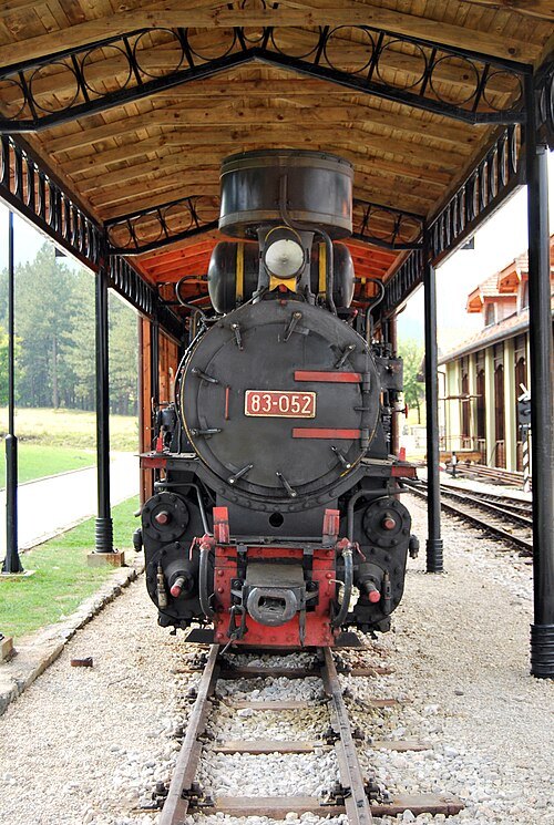
heritage railwayŠargan Eight
narrow gauge heritage railway in Serbia
Getting there Nearest stop or station Голубићи, about 5 min on foot OpenStreetMap
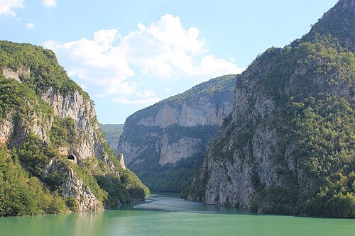
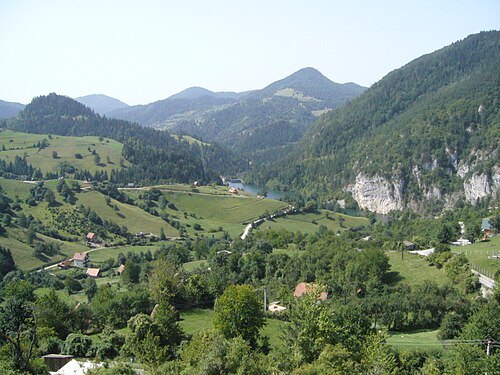
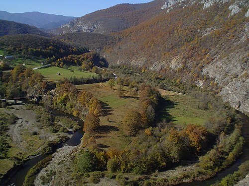
Korisnik:Milija (user:Milija) [2] / CC BY-SA 3.0
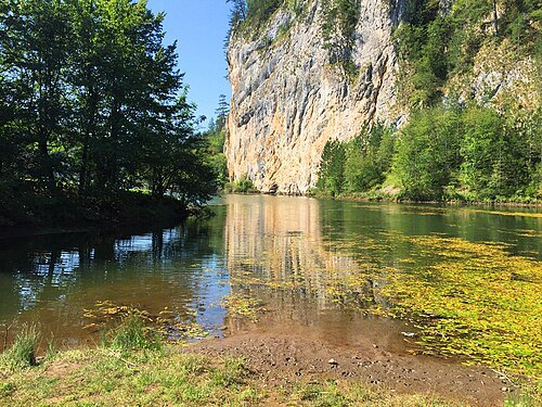
riverRzav
river in Bosnia and Herzegovina
Getting there Nearest stop or station Visegrad, about 11 min on foot OpenStreetMap
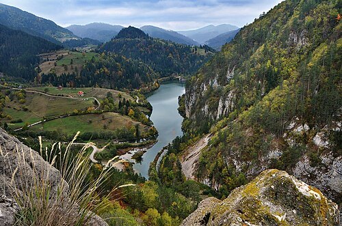
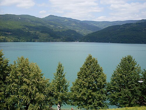
Smooth_O (talk · contribs) / CC BY 3.0
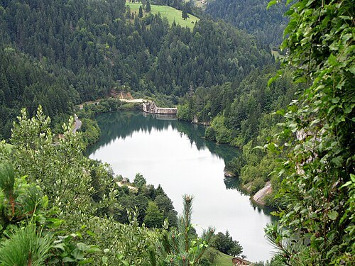
reservoirPerućac lake
lake
Getting there Nearest stop or station Visegrad, about 10 min on foot OpenStreetMap
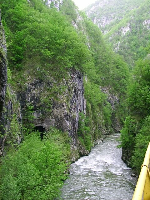
- mountain
Zubač
village in Bosnia and Herzegovina
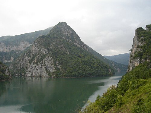
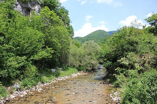 river
Žepa
river in Bosnia and Herzegovina
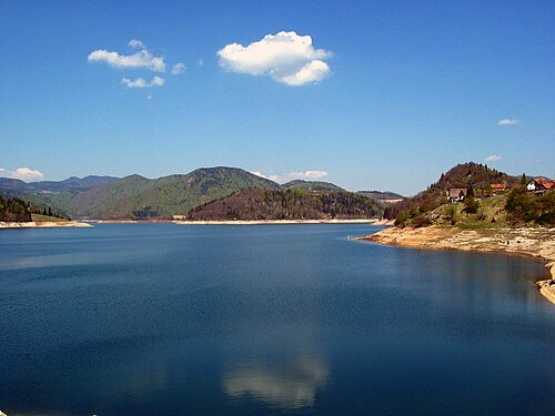
Original uploader was sr:Корисник:Goldfinger at sr.wikipedia (own work) / CC BY 2.5
 river
Crni Rzav
 river
Beli Rzav
- synagogue
Višegrad Synagogue
synagogue in Višegrad
Getting there Nearest stop or station Visegrad, about 6 min on foot OpenStreetMap
- summit
Carevića Vis
mountain in Serbia
 nature park
Nature Park "Šargan– Mokra Gora"
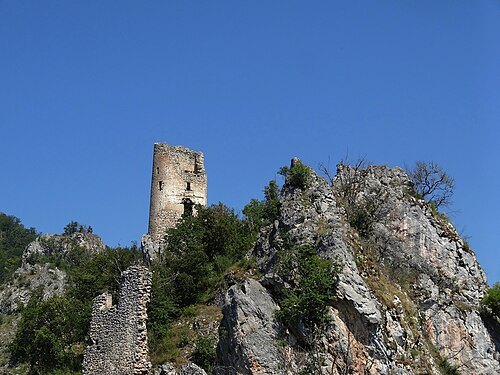
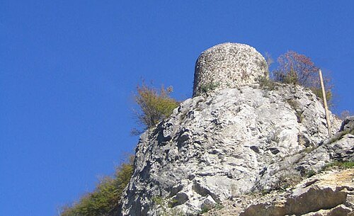 tower
Višegrad fort
tower in Višegrad, Bosnia and Herzegovina
Getting there Nearest stop or station Visegrad, about 14 min on foot OpenStreetMap
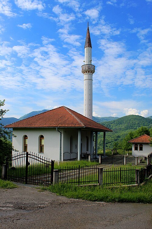 mosque
Sokollu Mehmed Pasha Mosque
mosque in Sokolovići, Bosnia and Herzegovina
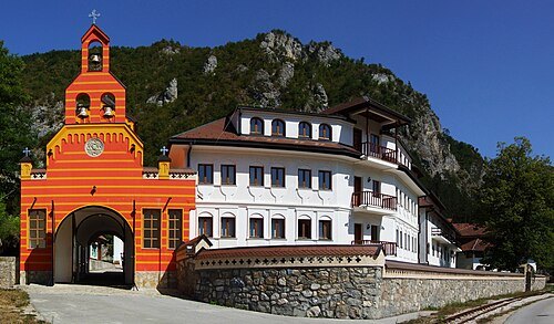
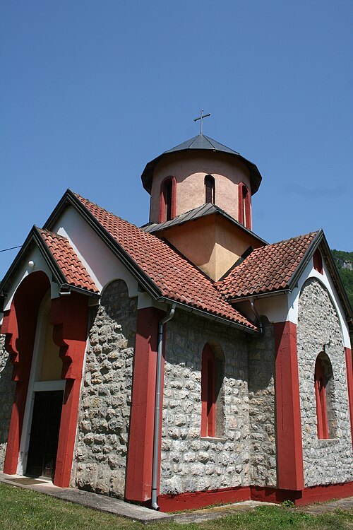 church building
Crkva Pokrova Presvete Bogorodice
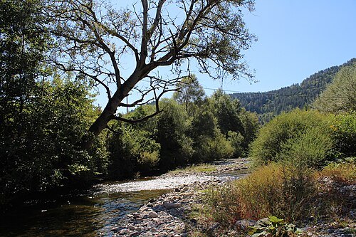
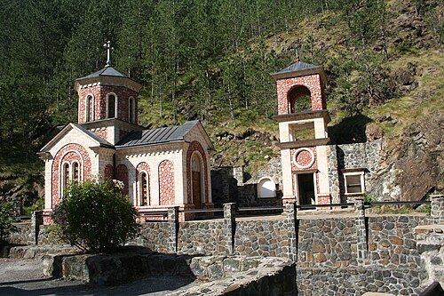 church building
Bele Vode
Getting there Nearest stop or station Голубићи, about 9 min on foot OpenStreetMap


Places to eat
Nothing here matches that. Clear a filter and try again.
Opening hours and tickets: OpenStreetMap contributors. Each one shows the day a volunteer last wrote it down, so check the official site before you set out.