La Paz: what to see and where to eat
Everything below comes from open data and each row says where it came from. We have not been to any of these places and we do not rank them.
Filters
Things to see
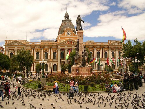 square
Plaza Murillo
square in La Paz, Bolivia
Getting there Nearest stop or station Estación San José - Utjäwi, about 8 min on foot OpenStreetMap
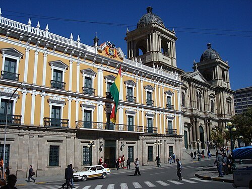
Rodrigo Achá from Arica, Chile / CC BY 2.0
presidential palacePalacio Quemado
former official residence of the President of Bolivia
Getting there Nearest stop or station Estación San José - Utjäwi, about 8 min on foot OpenStreetMap
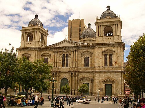 catholic cathedral
Cathedral Basilica of Our Lady of Peace, La Paz
cathedral in La Paz, Bolivia
Getting there Nearest stop or station Estación San José - Utjäwi, about 7 min on foot OpenStreetMap
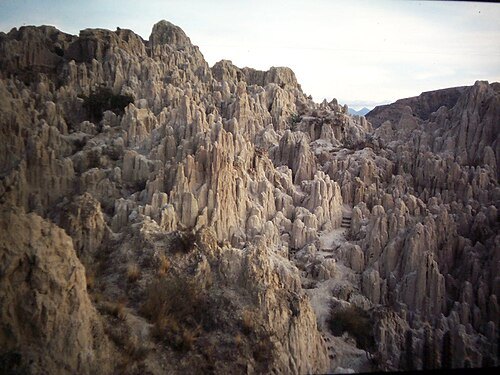
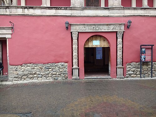 museum
National Museum of Art, La Paz
national museum of art in La Paz, Bolivia
Getting there Nearest stop or station Estación San José - Utjäwi, about 8 min on foot OpenStreetMap
Camila Villarroel Montaño / CC BY-SA 4.0
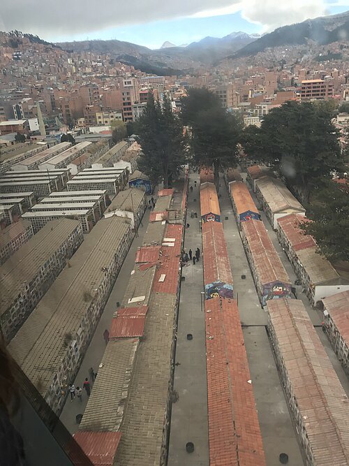
cemeteryCementerio General de La Paz
cemetery in La Paz, Bolivia
Getting there Nearest stop or station Estación Cementerio / Ajayuni, about 2 min on foot OpenStreetMap
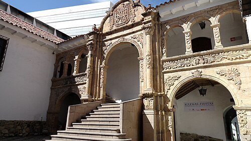 museum
National Museum of Ethnography and Folklore
museum in La Paz, Bolivia
Getting there Nearest stop or station Estación Plaza Riosinho / Riosinho Pampa, about 8 min on foot OpenStreetMap
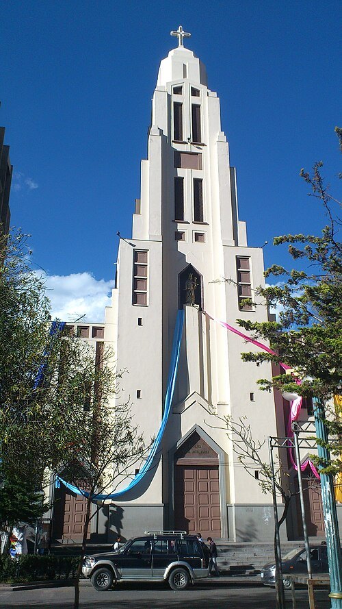 church building
Basílica María Auxiliadora
church building in La Paz, Bolivia
Getting there Nearest stop or station Trufi 408 San Pedro - Ciudad Satélite, about 4 min on foot OpenStreetMap
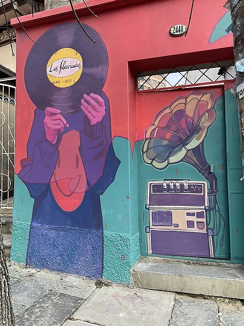 cultural center
Las Flaviadas
Getting there Nearest stop or station Estación Sopocachi / Supu Kachi, about 5 min on foot OpenStreetMap
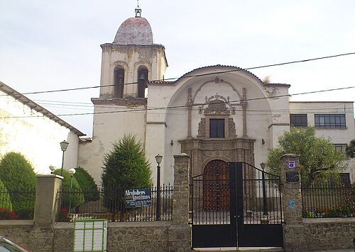 church building
Iglesia de San Pedro
church building in La Paz, Bolivia
Getting there Nearest stop or station Trufi 453 San Pedro - Cruce Viacha, about 4 min on foot OpenStreetMap
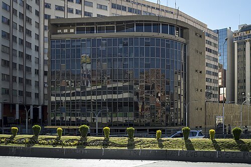 museum
Casa de la Cultura Franz Tamayo
Getting there Nearest stop or station Estación Plaza Riosinho / Riosinho Pampa, about 8 min on foot OpenStreetMap
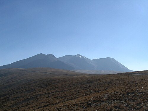
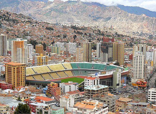 association football venue
Estadio Hernando Siles
sports complex in La Paz, Bolivia
Getting there Nearest stop or station Estación Plaza Triangular / Kimsachata, about 9 min on foot OpenStreetMap
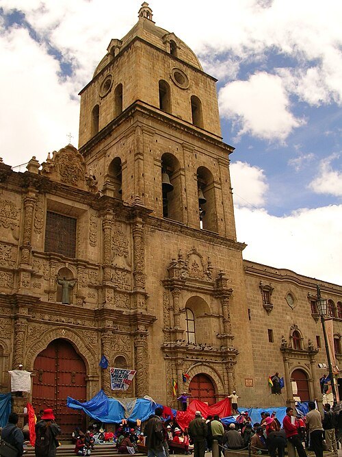 minor basilica
Basilica of San Francisco, La Paz, Bolivia
church in La Paz
Getting there Nearest stop or station Estación San José - Utjäwi, about 7 min on foot OpenStreetMap
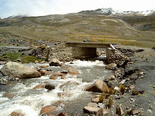
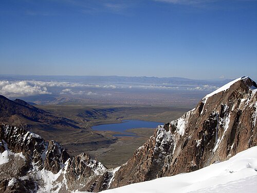
- river
Urqu Jawira
river in Bolivia
Getting there Nearest stop or station Obrajes / Aynacha Obrajes, about 18 min on foot OpenStreetMap
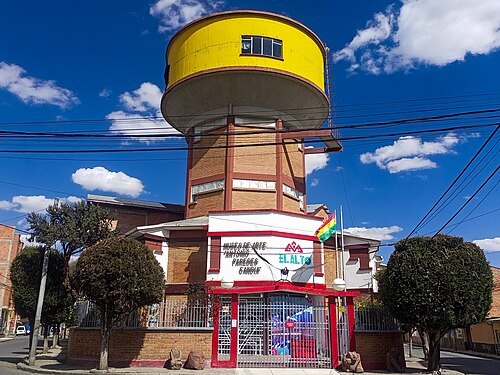
Saray Vargas 1312 / CC BY-SA 4.0
art museumMuseo de Arte Antonio Paredes Candia
Bolivian art museum
Getting there Nearest stop or station Estación Mirador/ Qhana Pata, about 3 min on foot OpenStreetMap
 market
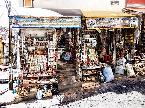
The Witches' Market
Market for magical paraphernalia in La Paz
Getting there Nearest stop or station Estación Cementerio / Ajayuni, about 8 min on foot OpenStreetMap
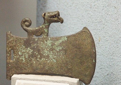 national museum
National Museum of Archaeology (Bolivia)
national museum
Getting there Nearest stop or station Estación Prado - Chukiya Marka, about 5 min on foot OpenStreetMap
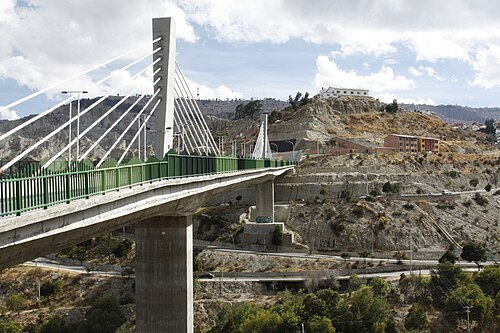 bridge
The Triplets bridges
bridge in Bolivia
Getting there Nearest stop or station Estación Libertador / Chuqi Apu, about 9 min on foot OpenStreetMap
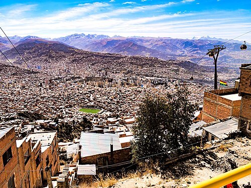 sports venue
Estadio Libertador Simón Bolívar
Getting there Nearest stop or station Parada de Minibus 864, about 3 min on foot OpenStreetMap
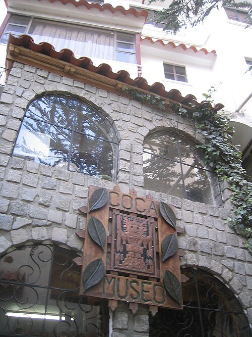
Micah MacAllen from Travel Bums, Latin America / CC BY-SA 2.0
museumCoca Museum
museum in La Paz, Bolivia
Getting there Nearest stop or station Parada a Pinaya, about 5 min on foot OpenStreetMap
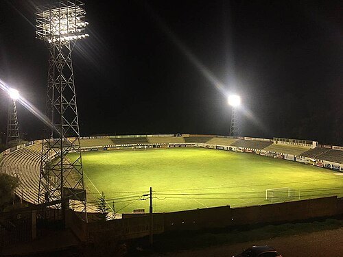 sports venue
Estadio Rafael Mendoza
 square
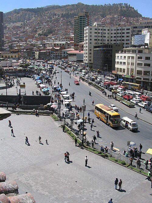
Plaza San Francisco
plaza in La Paz
Getting there Nearest stop or station Estación San José - Utjäwi, about 8 min on foot OpenStreetMap
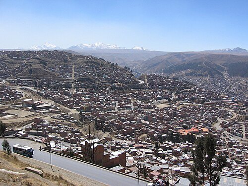
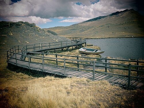
Arquitectorodal / CC BY-SA 3.0
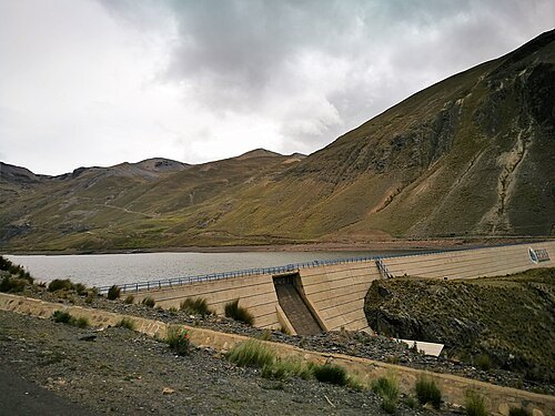
lakePampalarama
lake in the La Paz Municipality, Pedro Domingo Murillo Province, La Paz Department, Bolivia
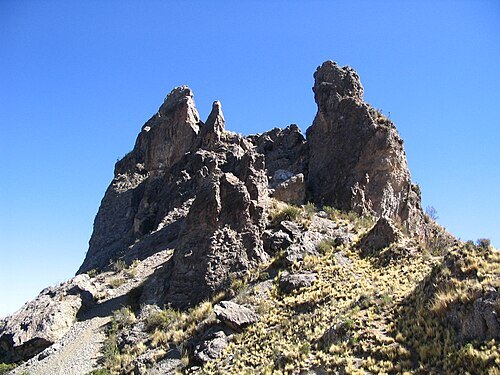
- mountain
Ch'iyar Qullu (Palca)
mountain in the Palca Municipality, Murillo Province, La Paz Department, Bolivia
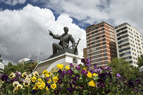
Emiliano Luján, photo by Israel Durán / CC BY-SA 3.0
squarePlaza Abaroa
Getting there Nearest stop or station Estación Sopocachi / Supu Kachi, about 9 min on foot OpenStreetMap
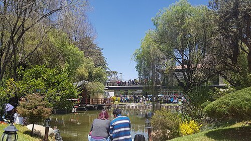 japanese garden outside japan
Japanese Garden of La Paz
Japanese garden in La Paz, Bolivia
Getting there Nearest stop or station Estación Irpavi / Irpawi, about 9 min on foot OpenStreetMap
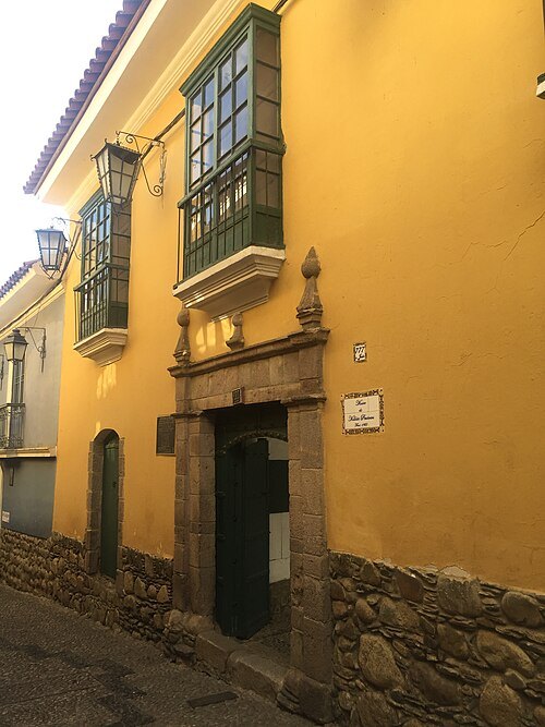 museum
Museo de Metales Preciosos Precolombinos
archeological museum in La Paz, Bolivia
Getting there Nearest stop or station Estación Plaza Riosinho / Riosinho Pampa, about 4 min on foot OpenStreetMap


Places to eat
- restaurant
Alaya
Food: local
- cafe
HB Bronze-Coffeebar
Food: sandwich, fine dining, tea, cake, coffee shop, dessert
- restaurant
La Coca Gourmet
Food: regional, fusion, mediterranean
- restaurant
Namasté
Food: regional, bolivian, lunch, teahouse
- restaurant
Peña Huari
Food: sandwich, local, salad
- restaurant
Rendezvous
Food: french, italian, mediterranean
- restaurant
Restaurante Chifa Jackie Chan
Food: chinese, international
- restaurant
Tomate Café
Food: regional, sandwich, juices
- restaurant
Almuerzo
Food: regional
- restaurant
El Rincón Criollo
Food: regional, grill
- restaurant
Ken Chan
Food: japanese
- cafe
Luna's
Food: burger, sandwich, pasta, coffee shop
- restaurant
Vienna
Food: european
Nothing here matches that. Clear a filter and try again.
Opening hours and tickets: OpenStreetMap contributors. Each one shows the day a volunteer last wrote it down, so check the official site before you set out.