San Ignacio: what to see and where to eat
Everything below comes from open data and each row says where it came from. We have not been to any of these places and we do not rank them.
Filters
Things to see
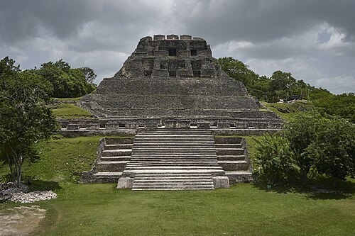
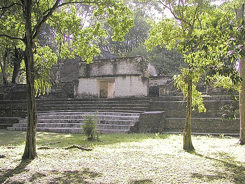
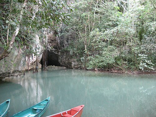
The original uploader was Aquaimages at English Wikipedia. / CC BY-SA 2.5
archaeological siteCahal Pech
Maya archaeological site in western Belize
Getting there Nearest stop or station Bus Station, about 15 min on foot OpenStreetMap
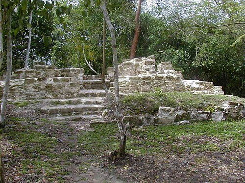
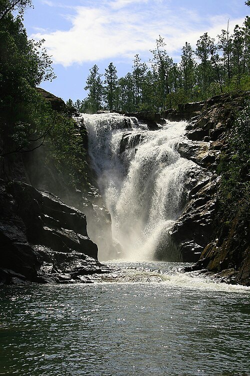
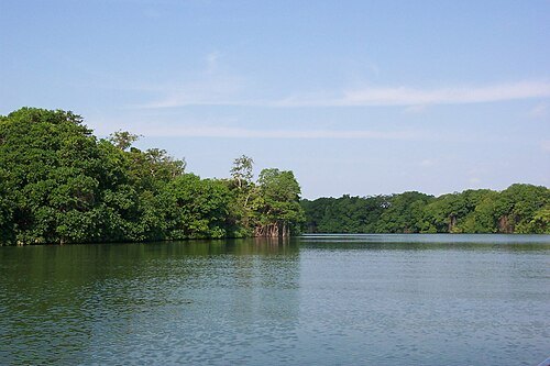
1000Faces at en.wikipedia / Public domain
riverBelize River
river in Belize
Getting there Nearest stop or station Humes Bus Service, about 14 min on foot OpenStreetMap
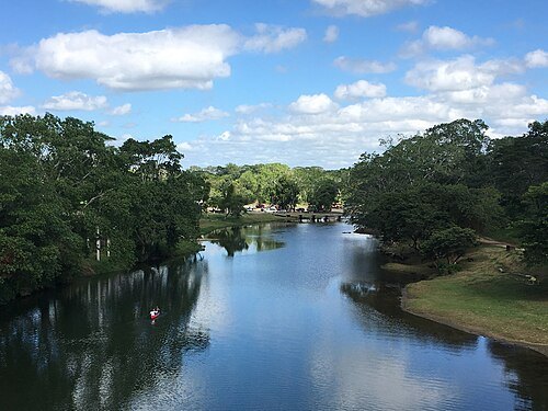 river
Macal River
river in Belize
Getting there Nearest stop or station Humes Bus Service, about 15 min on foot OpenStreetMap
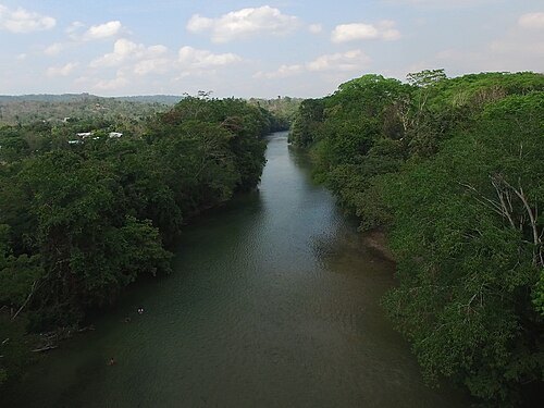
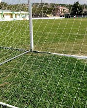 stadium
Norman Broaster Stadium
stadium in San Ignacio, Belize
Getting there Nearest stop or station Bus Station, about 2 min on foot OpenStreetMap
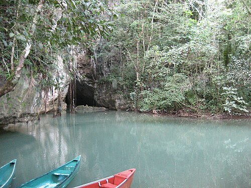
- stadium
Marshalleck Stadium
football stadium located in Belize
Getting there Nearest stop or station Benque Bus Terminal, about 9 min on foot OpenStreetMap
- river
Rio Frio, Belize
river in Belize
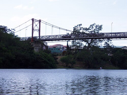 bridge
Hawkesworth Bridge
bridge in Belize
Getting there Nearest stop or station Bus Station, about 4 min on foot OpenStreetMap
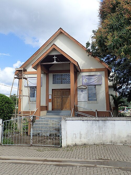 church building
St. Andrew's Anglican Church
Anglican church in San Ignacio, Belize
Getting there Nearest stop or station Bus Station, about 2 min on foot OpenStreetMap
- river
Rio On
river in Belize
- river
Privassion Creek
river in Belize
- waterfall
Raudales de Garbutt
Getting there Nearest stop or station Colectivo a Flores, about 6 min on foot OpenStreetMap
- river
Billy White Creek
river in Belize


Places to eat
- restaurant
Papa Bens
Food: pizza, chicken
- restaurant
Allan's Restaurant
Food: chinese
- restaurant
Rolson Cocina, Cantina & Hotel
Food: mexican
Nothing here matches that. Clear a filter and try again.
Opening hours and tickets: OpenStreetMap contributors. Each one shows the day a volunteer last wrote it down, so check the official site before you set out.