Spa: what to see and where to eat
Everything below comes from open data and each row says where it came from. We have not been to any of these places and we do not rank them.
Filters
Things to see
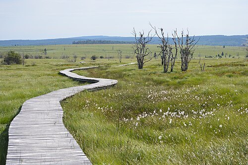
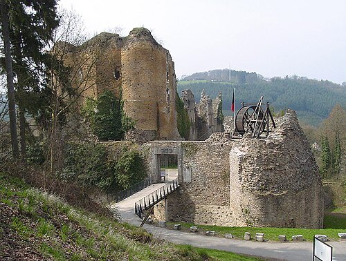
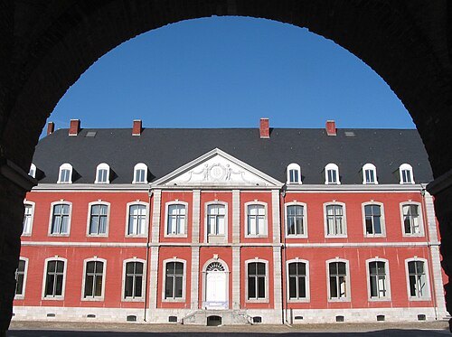
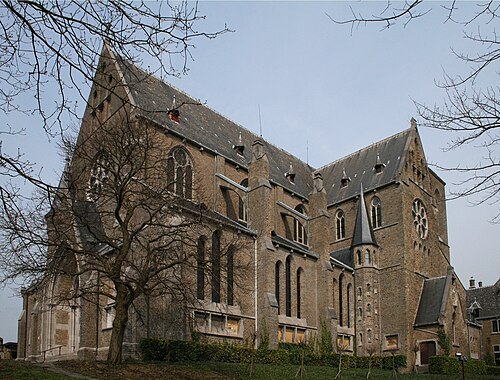
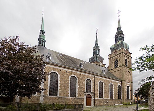 parish church
St. Nicholas church
church in Eupen, Belgium
Getting there Nearest stop or station Eupen, about 10 min on foot OpenStreetMap
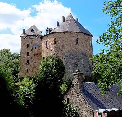
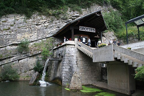
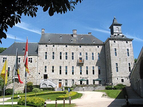
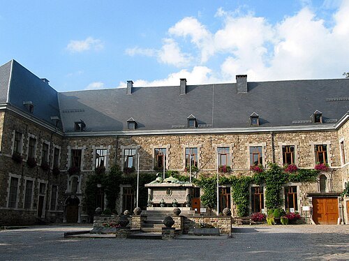
Jean-Pol GRANDMONT / CC BY 2.0
benedictine abbeyAbbaye de Malmedy
monastery in Malmedy, Belgium
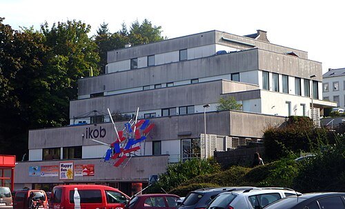 art museum
IKOB International Art Centre East Belgium
art museum
Getting there Nearest stop or station Eupen, about 18 min on foot OpenStreetMap
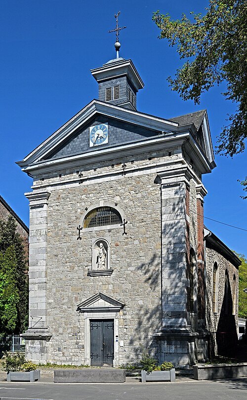 chapel
 Saint-Lambert
chapel in Eupen, Belgium
Getting there Nearest stop or station Eupen, about 5 min on foot OpenStreetMap
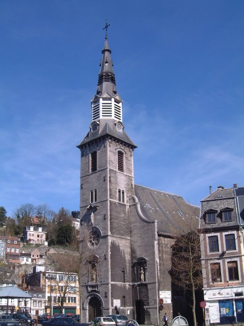 parish church
Église Notre-Dame des Recollets, Verviers
church in Verviers, Belgium
Getting there Nearest stop or station Verviers-Palais, about 7 min on foot OpenStreetMap
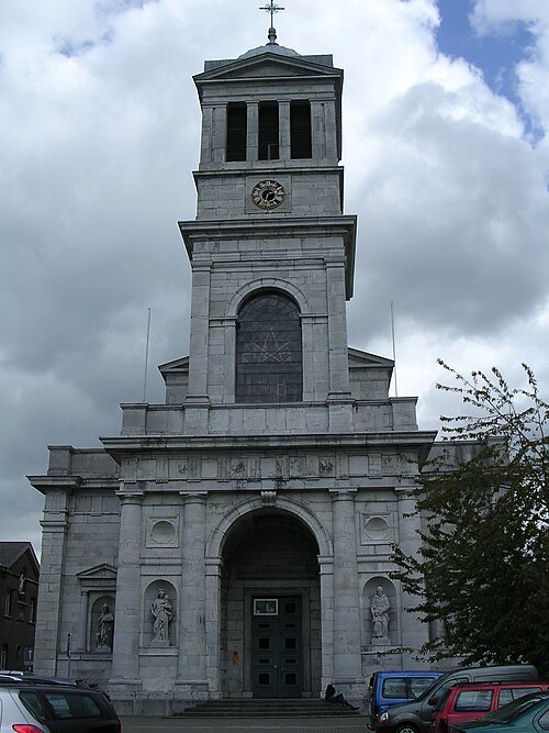 church building
église Saint-Remacle de Verviers
church in Verviers, Belgium
Getting there Nearest stop or station Verviers-Palais, about 10 min on foot OpenStreetMap
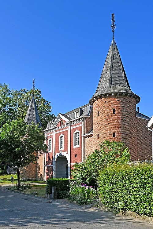 château
Burg Stockem
castle in Eupen, Belgium
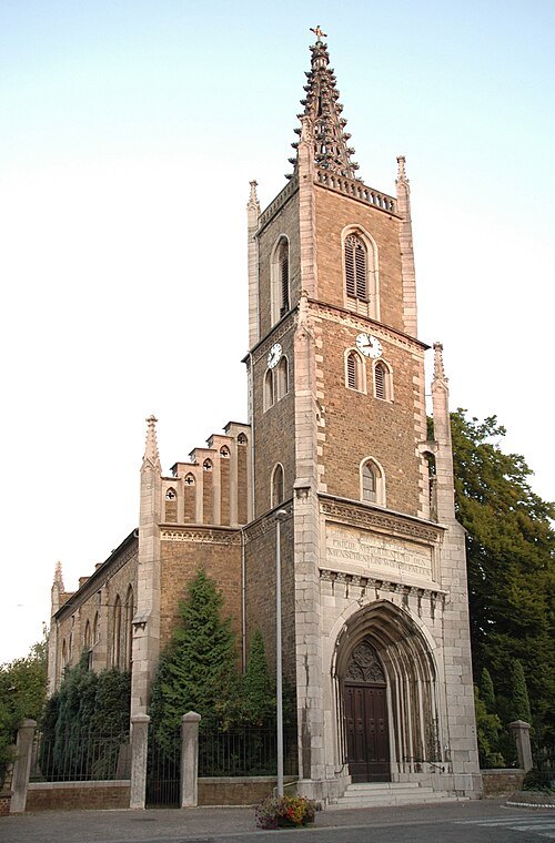 church building
church of Peace
Protestant church in Eupen, Belgium
Getting there Nearest stop or station Eupen, about 9 min on foot OpenStreetMap
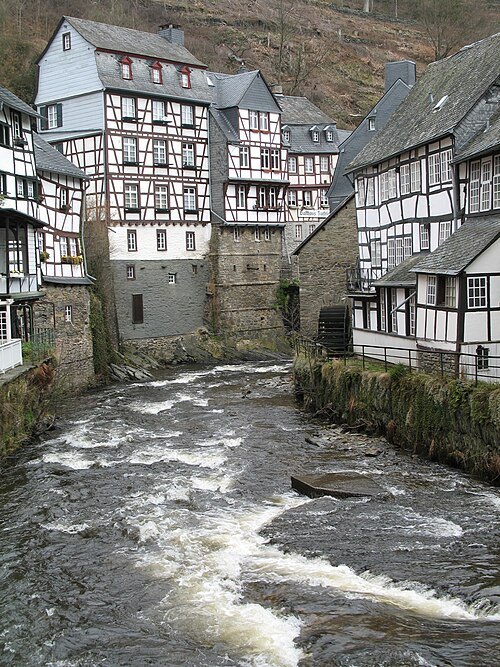
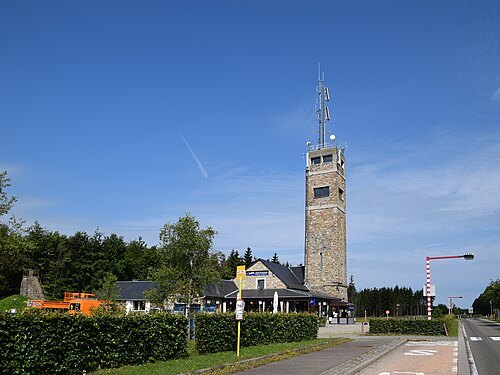
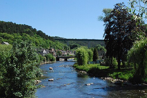
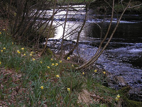
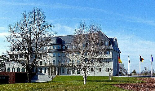 community and regional parliament
Parliament of the German-speaking Community
Belgian parliament
Getting there Nearest stop or station Eupen, about 20 min on foot OpenStreetMap
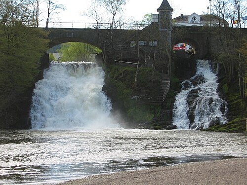 artificial waterfall
Waterfalls of Coo
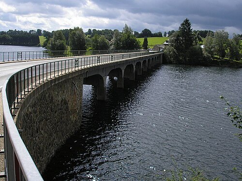
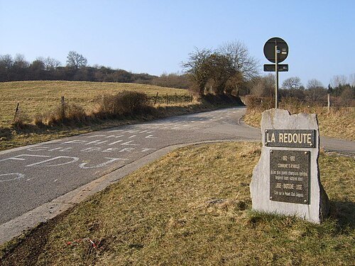
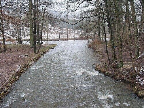
No machine-readable author provided. David Edgar assumed (based on copyright claims). / CC BY 2.5
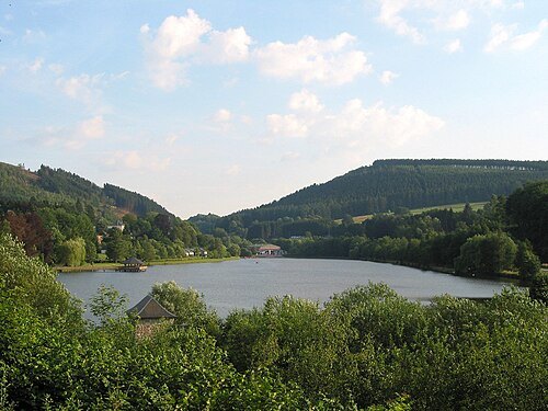
Jean-Pol GRANDMONT / CC BY 3.0
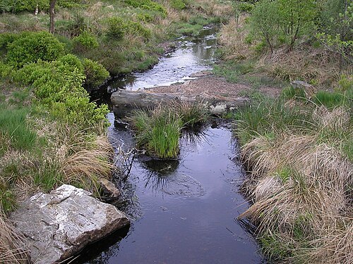
riverSalm
river in Belgium
Getting there Nearest stop or station Trois-Ponts, about 12 min on foot OpenStreetMap
 river
Hoëgne
river in Belgium
Getting there Nearest stop or station Pepinster, about 5 min on foot OpenStreetMap
 association football venue
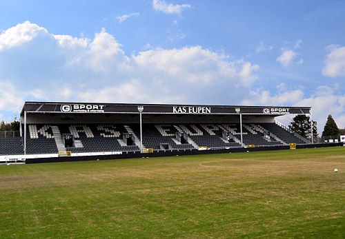
Kehrweg Stadion
football stadium in Eupen, Belgium
Getting there Nearest stop or station Eupen, about 17 min on foot OpenStreetMap
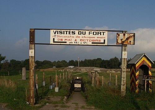
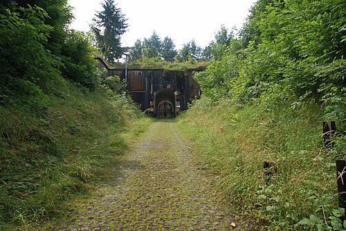
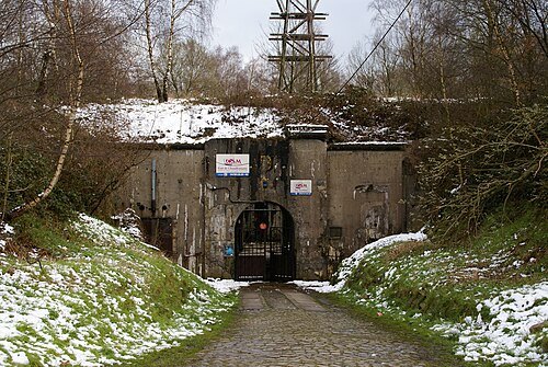
 military museum
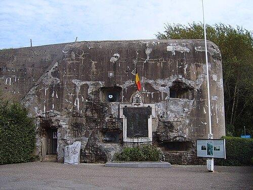
Fort de Battice
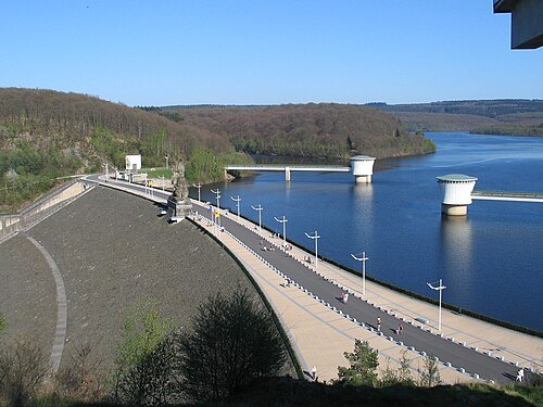
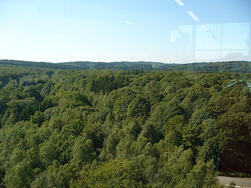
The original uploader was Alan4630 at French Wikipedia. / CC BY-SA 3.0
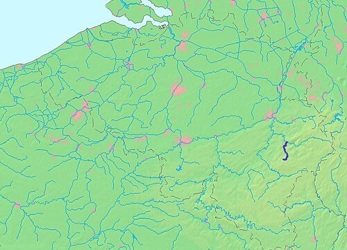
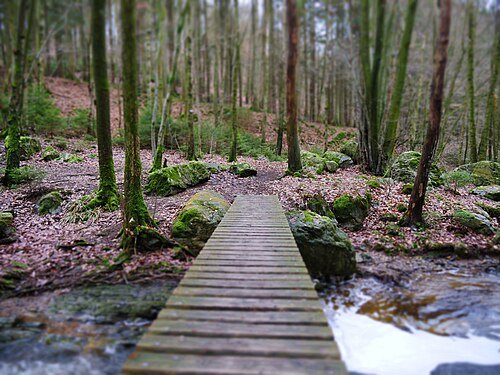
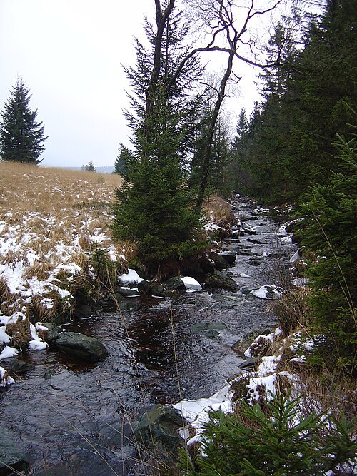
forestHertogenwald
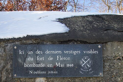
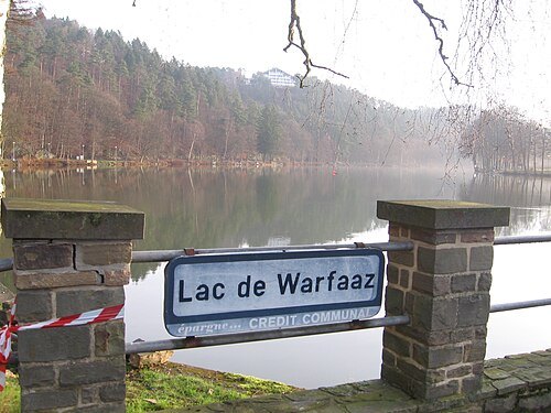
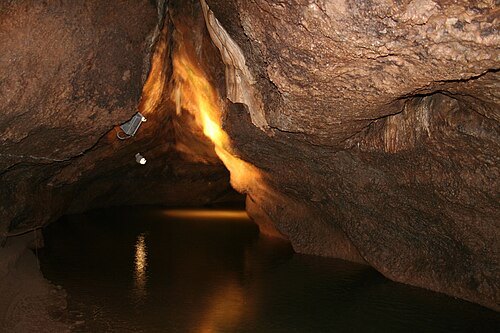
Jean-Etienne Poirrier; changes by Rabanus Flavus / CC BY-SA 2.0
conventBasilique Notre-Dame de Chèvremont
church in Vaux-sous-Chèvremont, Belgium
Getting there Nearest stop or station Chaudfontaine, about 19 min on foot OpenStreetMap
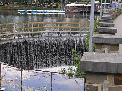 river
Wayai
river in Belgium, mouth in Ourthe after Vesdre
Getting there Nearest stop or station Franchimont, about 2 min on foot OpenStreetMap
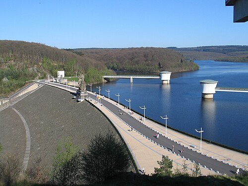
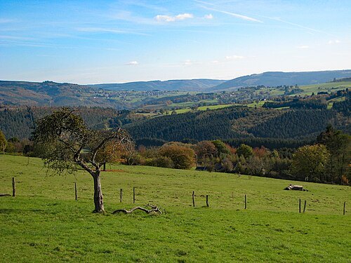 low mountain range
Ardennes massif
mountain range (Luxembourg, France and Belgium)
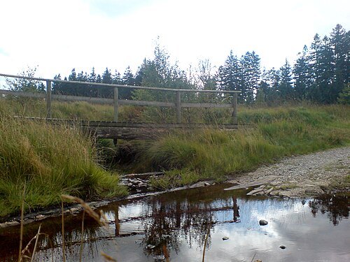 river
Soor
river in Belgium, mouth in Hill river
- river
Rechterbach
river in Belgium, mouth in Amblève river
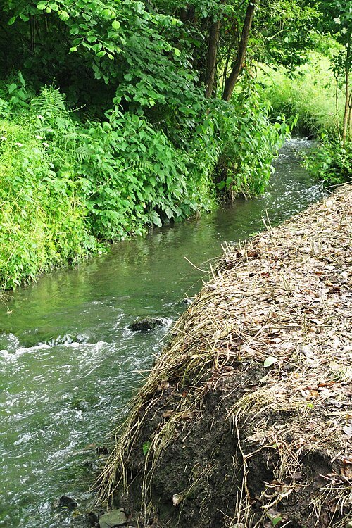
User:LesMeloures / CC BY-SA 3.0
riverJulienne
watercourse in Belgium
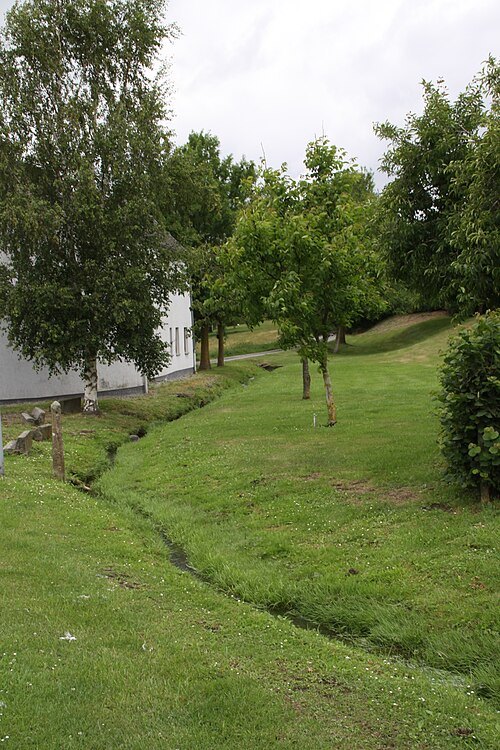 river
Ruisseau de Monty
river in Belgium
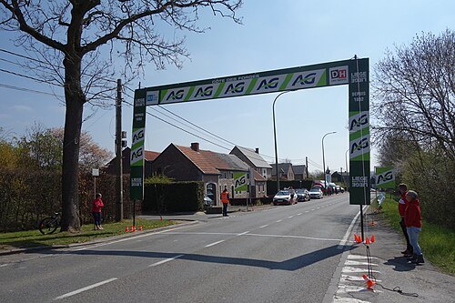 hill
Côte des Forges
côte in Sprimont, Belgium
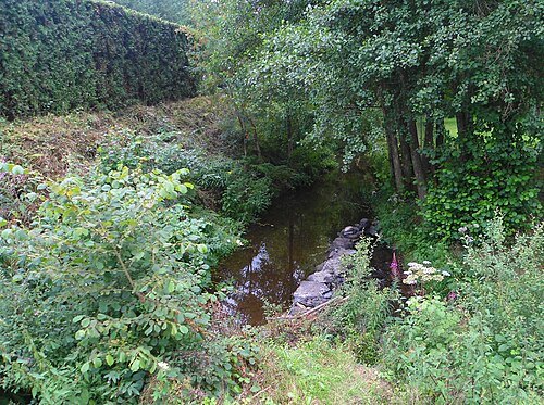 river
Follerie
river in Belgium
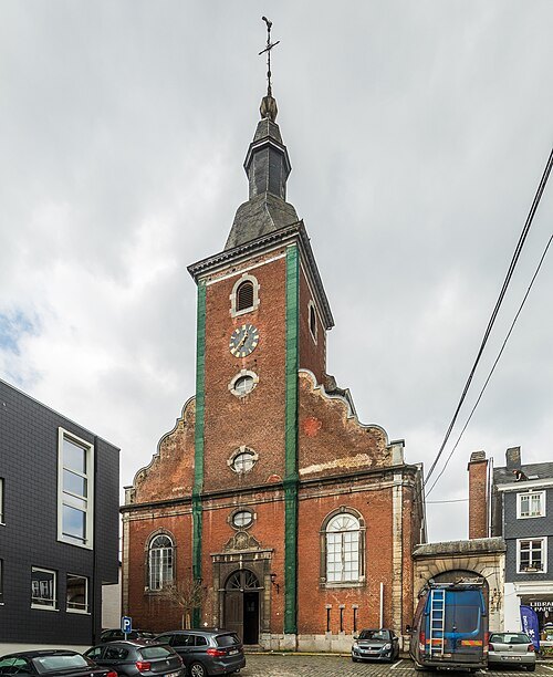
Raimond Spekking / CC BY-SA 4.0
church buildingSaint Sebastian church of Stavelot
church in Stavelot, Belgium
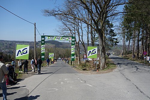 hill
Côte de Stockeu
climb in Stavelot, Belgium
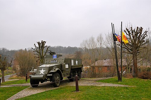
FaceMePLS from The Hague, The Netherlands / CC BY 2.0
war memorialwar memorial
memorial in Stavelot, Belgium
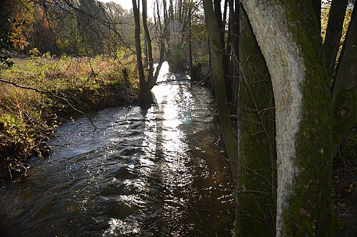
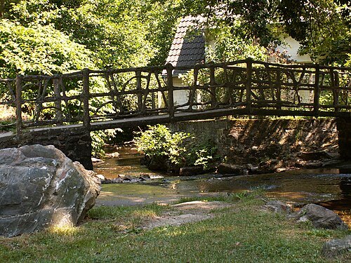 river
Baleur
stream in Belgium
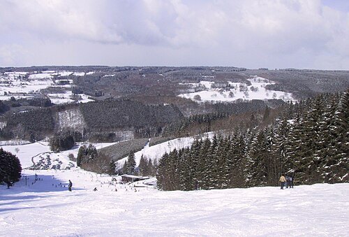
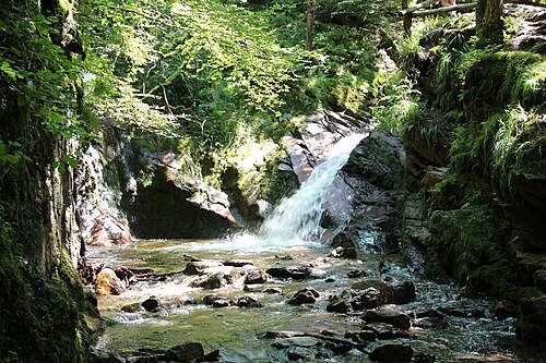
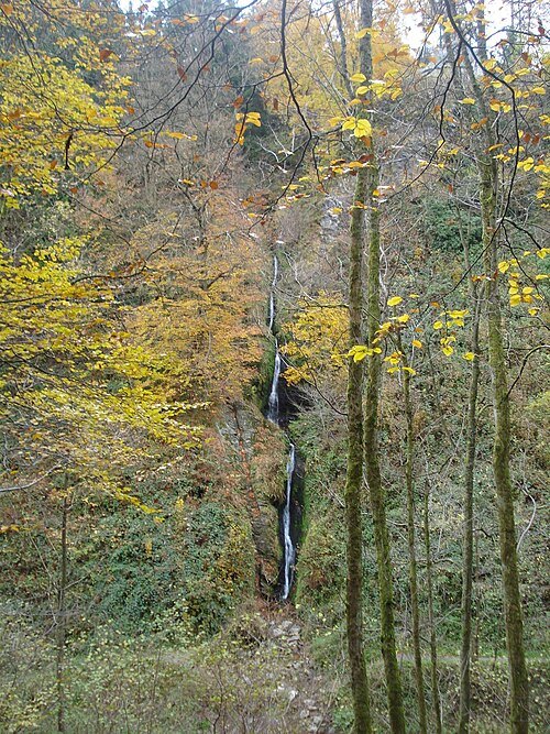 waterfall
 of Reinhardstein
waterfall in Belgium
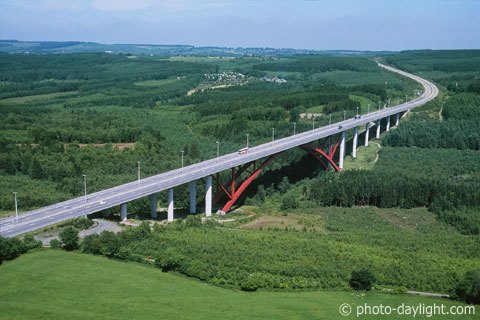 bridge
Viaduc de l'Eau Rouge
bridge near Malmedy, Belgium


Places to eat
Nothing here matches that. Clear a filter and try again.
Opening hours and tickets: OpenStreetMap contributors. Each one shows the day a volunteer last wrote it down, so check the official site before you set out.