Namur: what to see and where to eat
Everything below comes from open data and each row says where it came from. We have not been to any of these places and we do not rank them.
Filters
Things to see
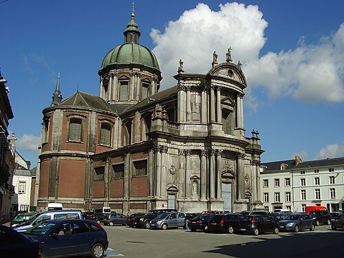 cathedral
St Aubin's Cathedral
cathedral in Namur, Belgium
Getting there Nearest stop or station Station Centre-Ville, about 8 min on foot OpenStreetMap
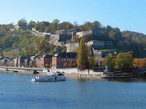
Jean-Pol GRANDMONT / CC BY-SA 3.0
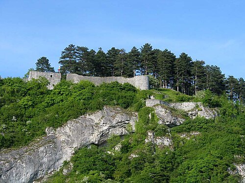
citadelCitadel of Namur
fortress in Namur, Belgium
Getting there Nearest stop or station Station Centre-Ville, about 2 min on foot OpenStreetMap
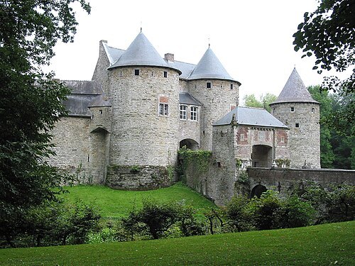
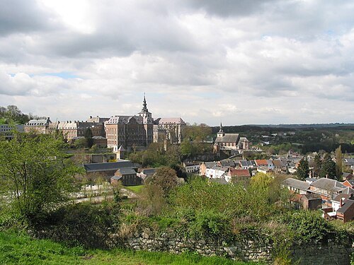
 abbey
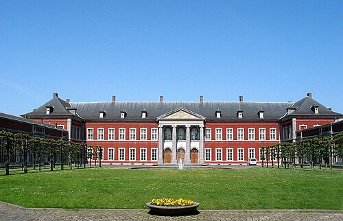
Gembloux Abbey
Getting there Nearest stop or station Chapelle-Dieu, about 9 min on foot OpenStreetMap
Jean-Pol GRANDMONT / CC BY 3.0
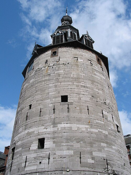
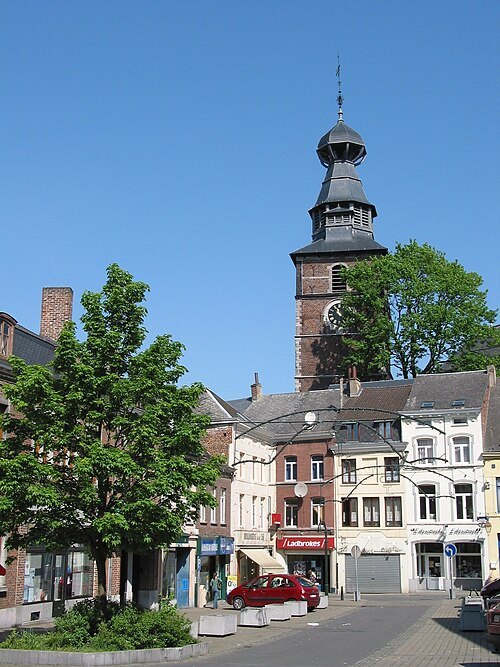
belfryBelfry of Namur
medieval tower and UNESCO World Heritage Site in Namur, Belgium
Getting there Nearest stop or station Station Centre-Ville, about 4 min on foot OpenStreetMap
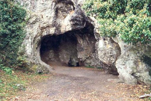
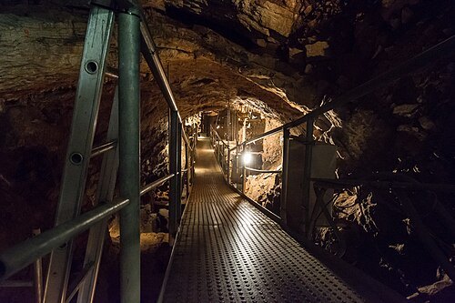 show cave
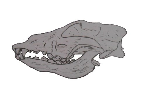
Scladina
cave in Belgium
Getting there Nearest stop or station Sclaigneaux, about 14 min on foot OpenStreetMap
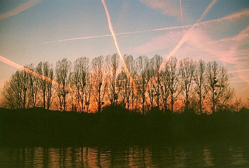
We El at Dutch Wikipedia / Public domain
islandÎle de Dave
island in Belgium
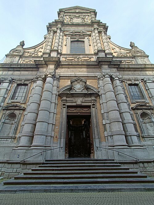
Getting there Nearest stop or station Dave-Saint-Martin, about 18 min on foot OpenStreetMap
 parish church
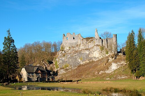
Saint Lupus Church
church in Namur, Belgium
Getting there Nearest stop or station Station Centre-Ville, about 4 min on foot OpenStreetMap
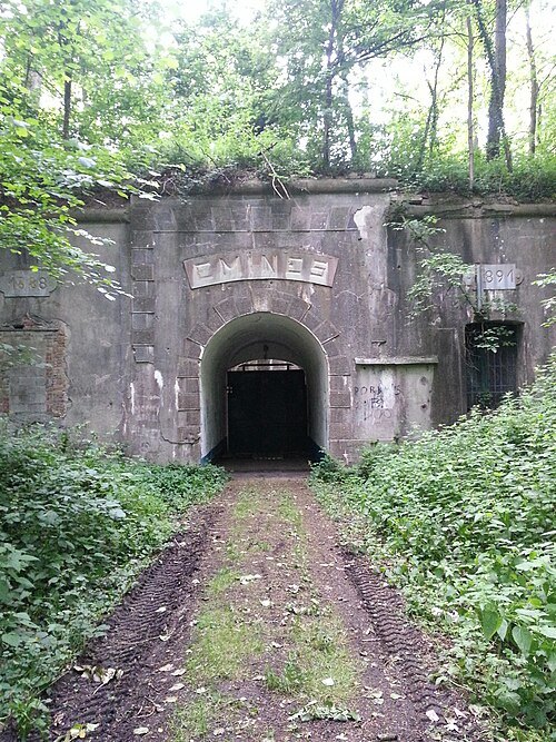 fort
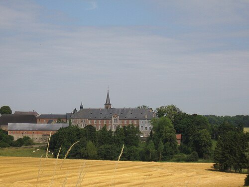
Fort d'Emines
 private mansion
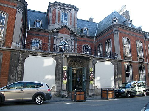
hôtel de Groesbeeck - de Croix
museum in Namur, Belgium
Getting there Nearest stop or station Station Centre-Ville, about 5 min on foot OpenStreetMap
Jean-Pol GRANDMONT / CC BY 2.5
belfryBelfry of Gembloux
Getting there Nearest stop or station Chapelle-Dieu, about 8 min on foot OpenStreetMap
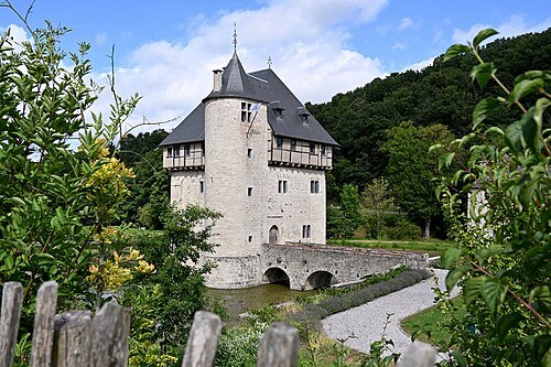
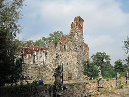 castle
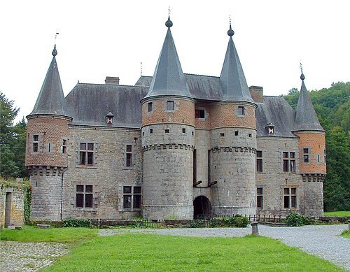
Château d'Aische
castle in Wallonia
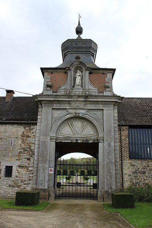
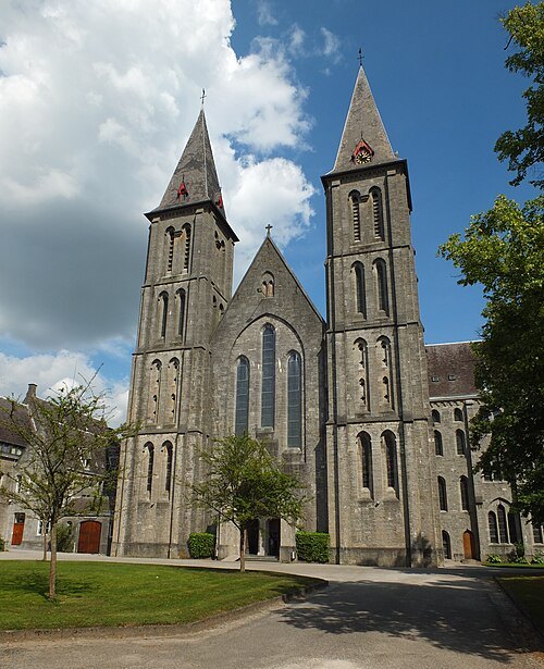
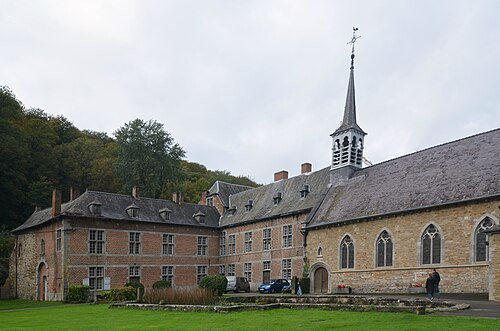 abbey
Our Lady of Vivier Abbey
Getting there Nearest stop or station Marche-les-Dames, about 17 min on foot OpenStreetMap
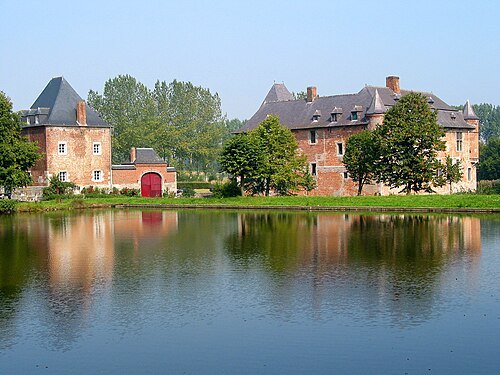
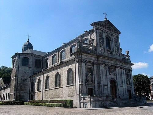
Jean-Pol GRANDMONT / CC BY 3.0
church buildingSaint Begga Collegiate Church
church in Andenne, Belgium
Getting there Nearest stop or station Andenne, about 18 min on foot OpenStreetMap
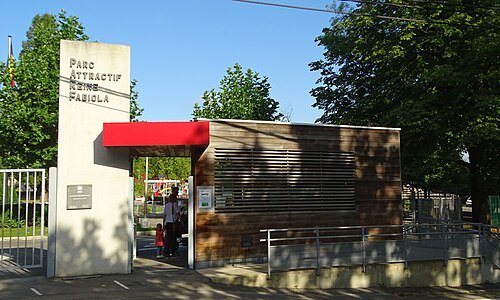
Jérémy-Günther-Heinz Jähnick / CC BY-SA 3.0
leisure parkParc attractif Reine Fabiola
leisure park in Belgium
Getting there Nearest stop or station Station Esplanade, about 7 min on foot OpenStreetMap
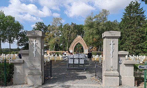 war cemetery
Belle-Motte French National Cemetery
military cemetery in Aiseau-Presles, Belgium
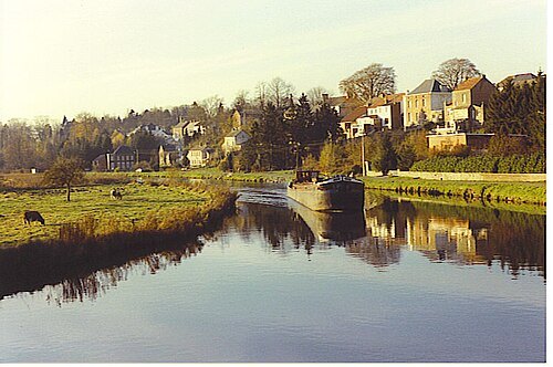
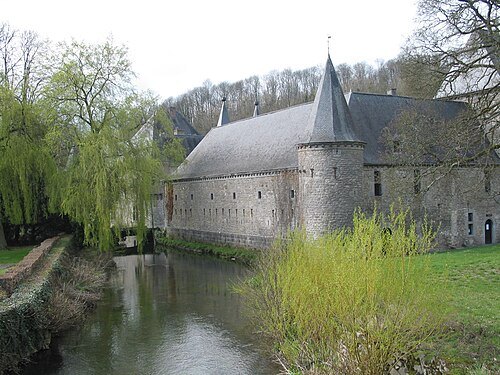
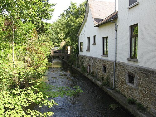 river
Orneau
river in Belgium
Getting there Nearest stop or station Jemeppe-sur-Sambre, about 18 min on foot OpenStreetMap
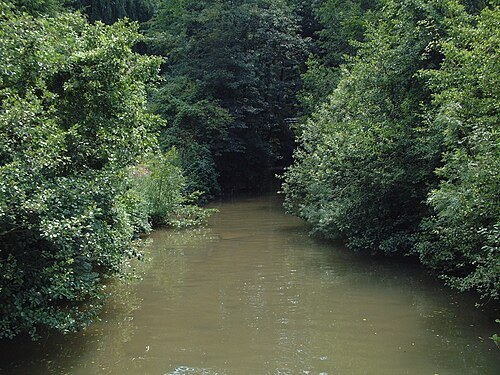 river
Samson
river in Belgium, mouth in Meuse river
Getting there Nearest stop or station Namêche, about 7 min on foot OpenStreetMap
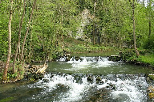
Jean-Pol GRANDMONT / CC BY 2.5
riverMolignée
river in Belgium, mouth in Meuse river
Getting there Nearest stop or station Yvoir, about 10 min on foot OpenStreetMap
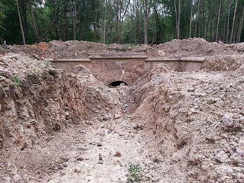
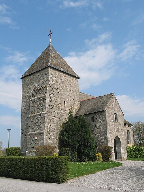
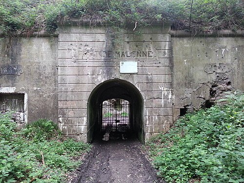 fort
Fort de Malonne
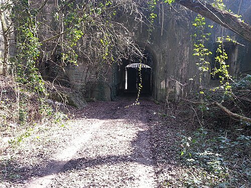
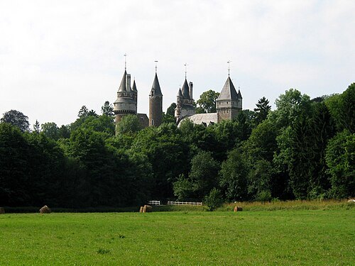
- fort
Fort de Maizeret
Getting there Nearest stop or station Namêche, about 16 min on foot OpenStreetMap
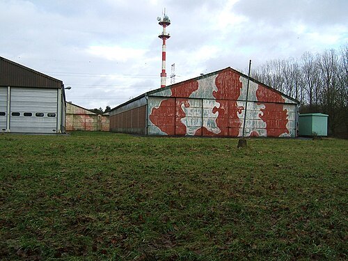
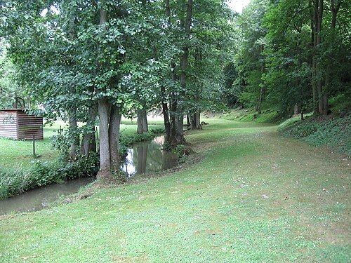 river
Burnot
watercourse in Belgium, mouth in Meuse river
Getting there Nearest stop or station Lustin, about 15 min on foot OpenStreetMap
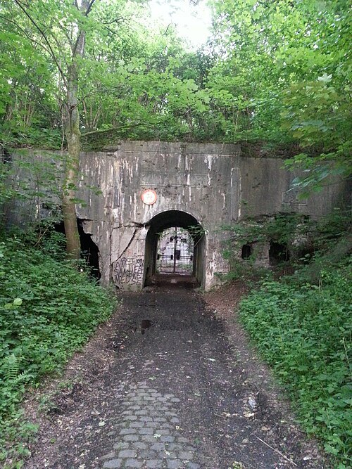 fort
Fort de Dave
fortification in Belgium
Getting there Nearest stop or station Dave-Saint-Martin, about 14 min on foot OpenStreetMap
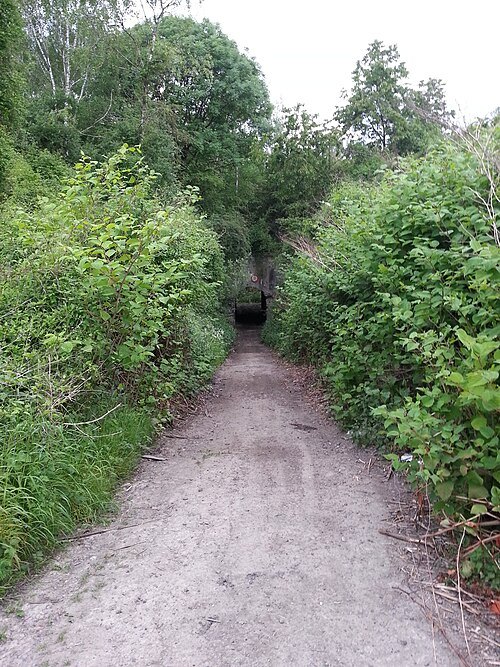 fort
Fort de Suarlée
- river
Ligny
river in Belgium
Getting there Nearest stop or station Mazy, about 16 min on foot OpenStreetMap
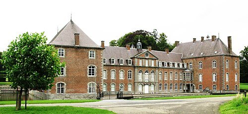
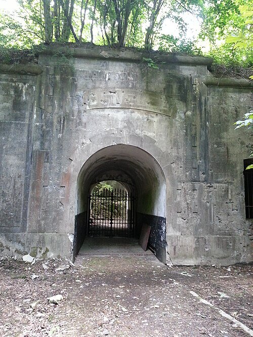 fort
Fort de Cognelée
Getting there Nearest stop or station Cognelèe, about 15 min on foot OpenStreetMap
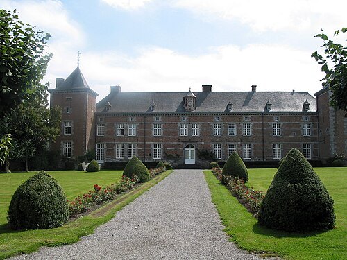
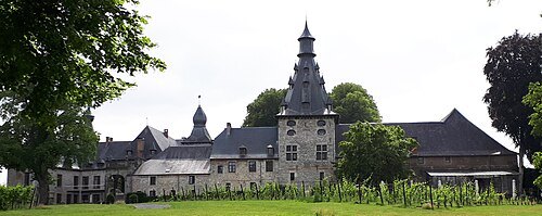
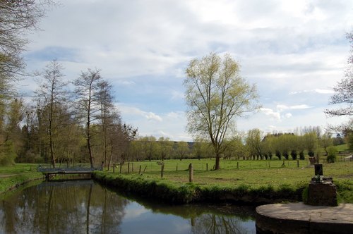
 monastery
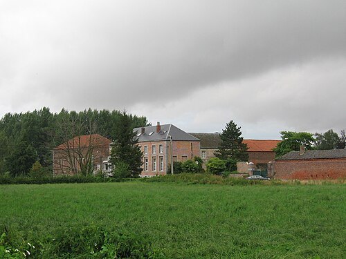
Abbaye de Malonne
monastery in Belgium
 river
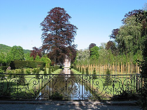
Biesme
river in Belgium
Getting there Nearest stop or station Aiseau, about 11 min on foot OpenStreetMap
Jean-Pol GRANDMONT / CC BY 2.5
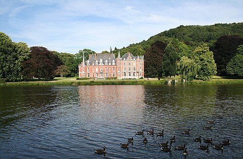
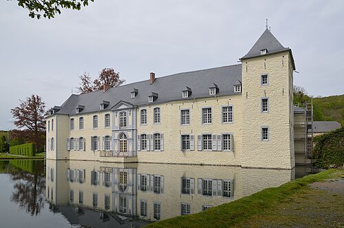
gardenGardens of Annevoie
gardens of the Castle of Annevoie
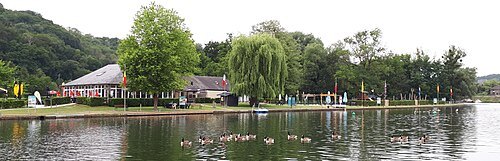
Jean-Pol GRANDMONT / CC BY 3.0
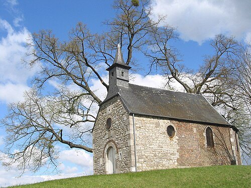
chapelChapelle Saint-Roch de Floreffe
chapel in Floreffe, Belgium
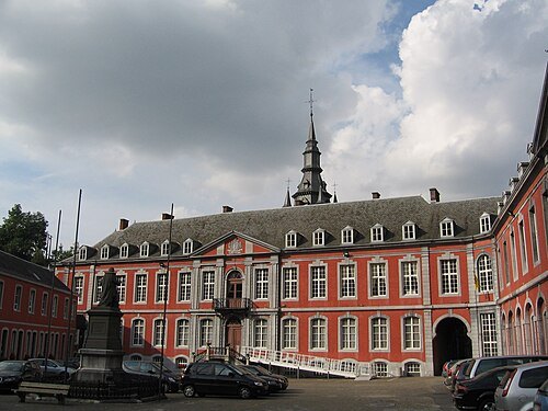
 museum
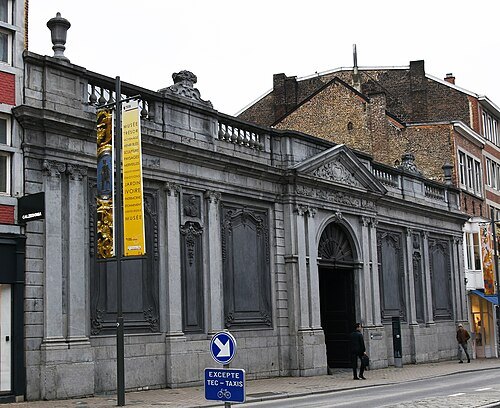
Musée provincial des Arts anciens
museum in Namur, Belgium
Getting there Nearest stop or station Namur, about 6 min on foot OpenStreetMap
 stadium
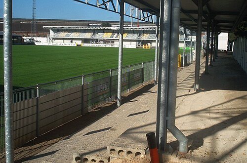
Stade communal de Namur
football stadium in Namur, Belgium
Getting there Nearest stop or station Station Centre-Ville, about 6 min on foot OpenStreetMap
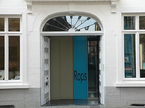
The original uploader was Desaparecido at French Wikipedia. / CC BY-SA 2.5
art museummusée provincial Félicien Rops
museum in Namur
Getting there Nearest stop or station Station Centre-Ville, about 4 min on foot OpenStreetMap


Places to eat
Nothing here matches that. Clear a filter and try again.
Opening hours and tickets: OpenStreetMap contributors. Each one shows the day a volunteer last wrote it down, so check the official site before you set out.