Châtelet: what to see and where to eat
Everything below comes from open data and each row says where it came from. We have not been to any of these places and we do not rank them.
Filters
Things to see
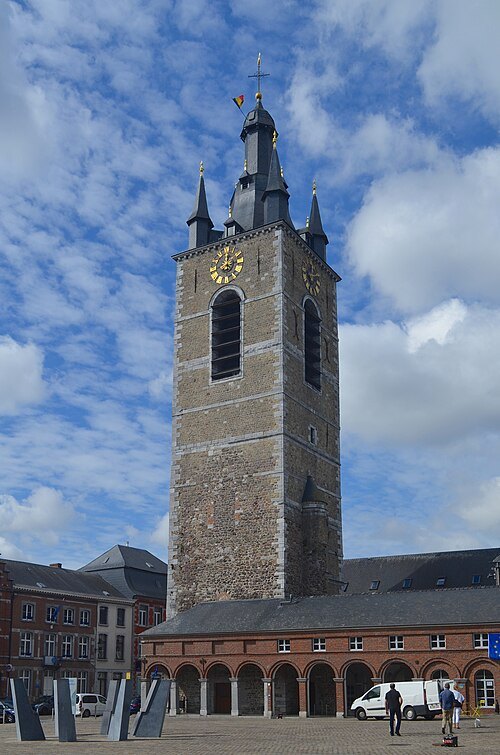
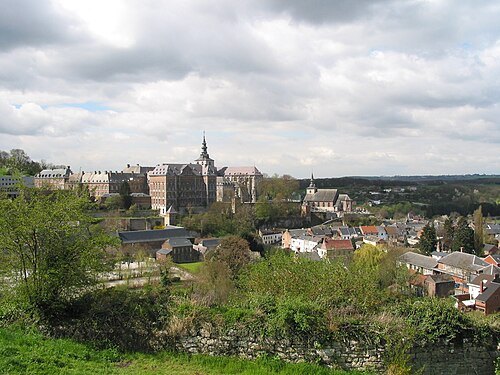
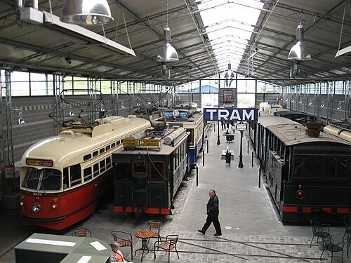 tramway museum
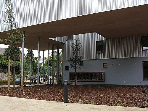
ASVi museum
Heritage tramway and museum in Belgium
Getting there Nearest stop or station Thuin, about 10 min on foot OpenStreetMap
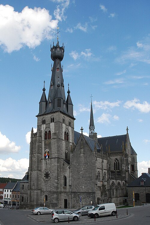 church building
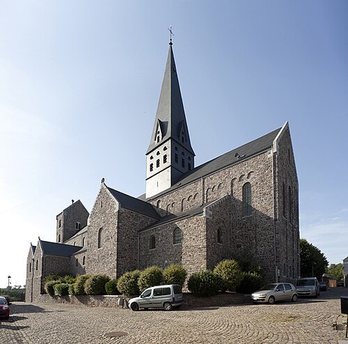
Saint-Materne Basilica
church in Walcourt, Belgium
Getting there Nearest stop or station Walcourt, about 14 min on foot OpenStreetMap
 catholic parish church
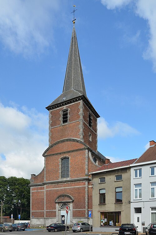
Saint-Sulpice church, Jumet
church in Jumet
Getting there Nearest stop or station Madeleine, about 8 min on foot OpenStreetMap
 collegiate church
Saint-Ursmer Collegiate Church
collegiate church in Lobbes, Belgium
Getting there Nearest stop or station Lobbes, about 5 min on foot OpenStreetMap
 monastery
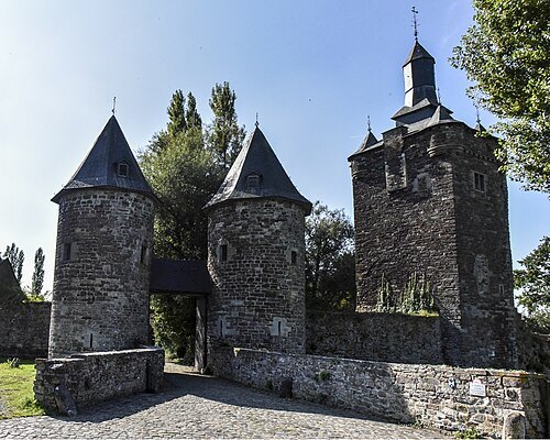
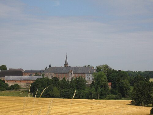
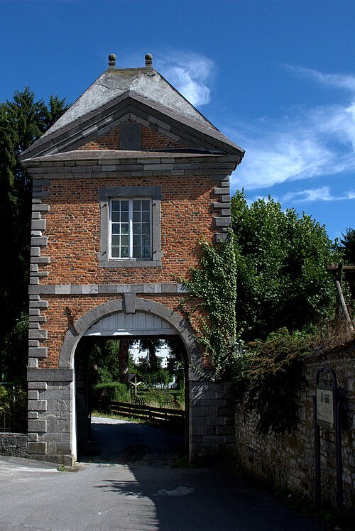
Abbaye du Jardinet
monastery
Getting there Nearest stop or station Walcourt, about 4 min on foot OpenStreetMap
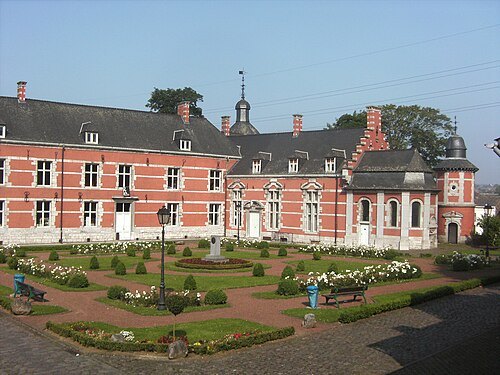 château
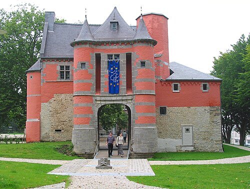
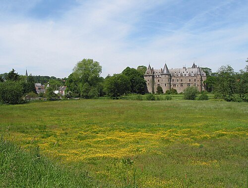
Cartier Castle
castle in Wallonia
Getting there Nearest stop or station De Cartier, about 2 min on foot OpenStreetMap
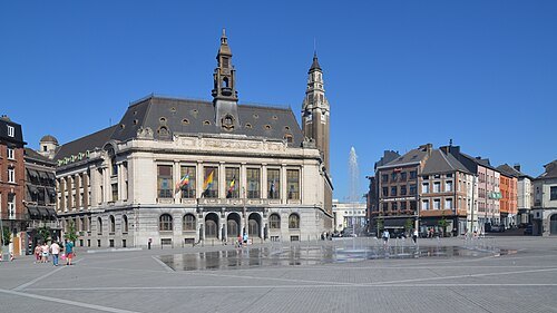 city hall
Charleroi City Hall
Getting there Nearest stop or station Palais, about 5 min on foot OpenStreetMap
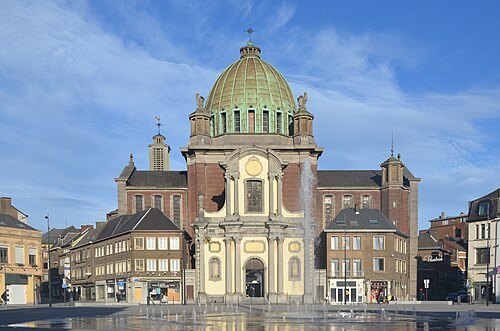 catholic parish church
église Saint-Christophe de Charleroi
church in Charleroi, Belgium
Getting there Nearest stop or station Palais, about 6 min on foot OpenStreetMap
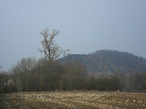 archaeological site
Tumulus of Marcinelle
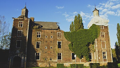
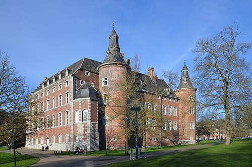 château
Castle of Monceau-sur-Sambre
Mosan Renaissance style castle in Wallonia
Getting there Nearest stop or station Moulin, about 8 min on foot OpenStreetMap
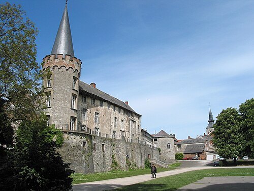
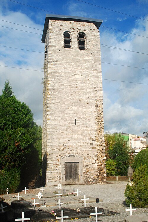 bell tower
Tour romane de Pont-de-Loup
Getting there Nearest stop or station Le Campinaire, about 10 min on foot OpenStreetMap
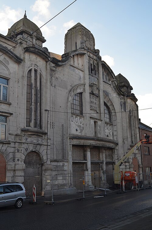 movie theater
Cinéma-théâtre le Varia
former cinema in Charleroi, Belgium
Getting there Nearest stop or station Puissant, about 3 min on foot OpenStreetMap
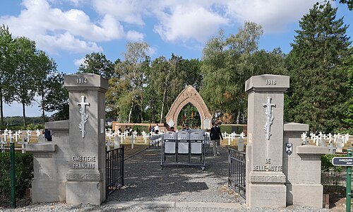 war cemetery
Belle-Motte French National Cemetery
military cemetery in Aiseau-Presles, Belgium
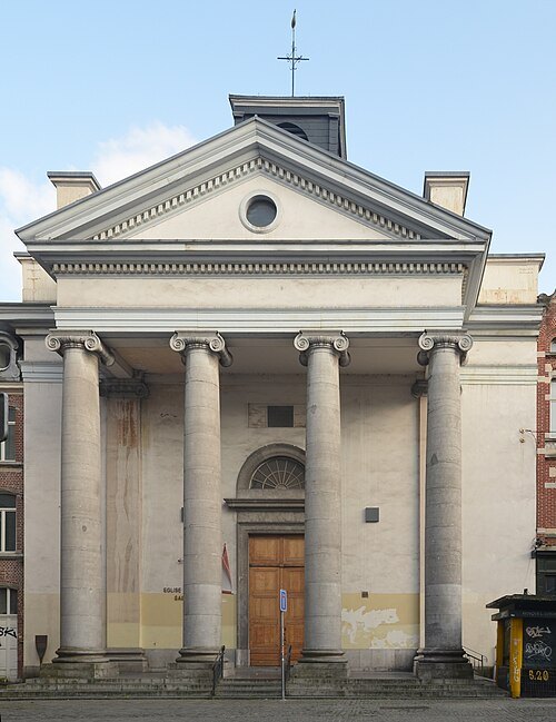 catholic parish church
Saint Anthony of Padua Church (Charleroi)
church building in Charleroi, Belgium
Getting there Nearest stop or station Sambre, about 4 min on foot OpenStreetMap
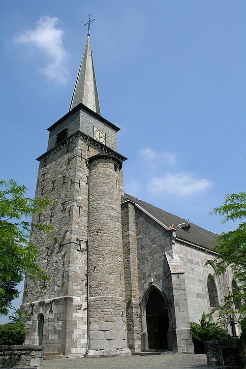
Jean-Pol GRANDMONT / CC BY 2.5
church buildingéglise Saint-Michel de Gerpinnes
church in Gerpinnes, Belgium
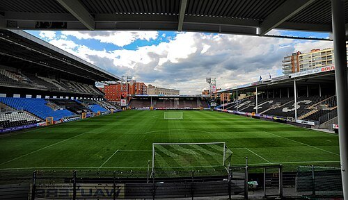 stadium
Stade du Pays de Charleroi
stadium
Getting there Nearest stop or station Janson, about 3 min on foot OpenStreetMap
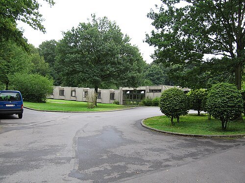
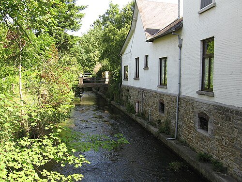 river
Orneau
river in Belgium
Getting there Nearest stop or station Jemeppe-sur-Sambre, about 18 min on foot OpenStreetMap
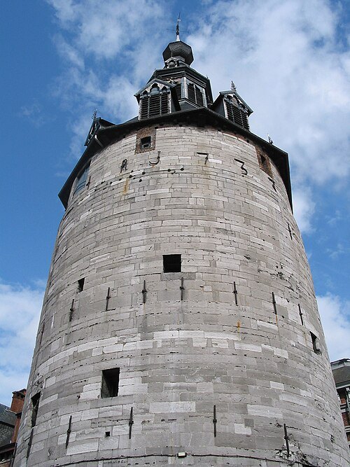
Jean-Pol GRANDMONT / CC BY 3.0
belfryBelfry of Namur
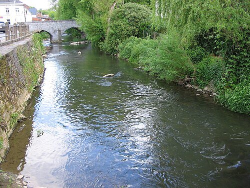
No machine-readable author provided. Boerkevitz assumed (based on copyright claims). / Public domain
riverEau d'Heure
river in Belgium
Getting there Nearest stop or station De Cartier, about 7 min on foot OpenStreetMap
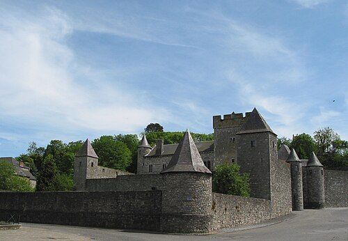
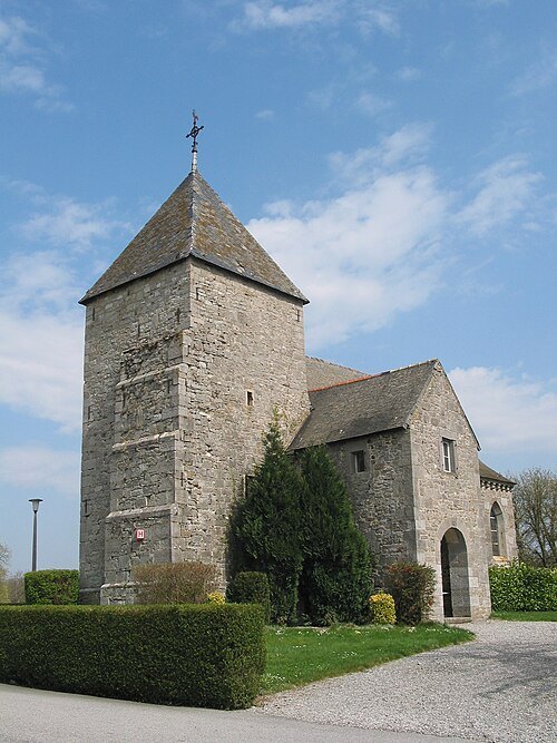
- river
Ligny
river in Belgium
Getting there Nearest stop or station Mazy, about 16 min on foot OpenStreetMap
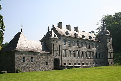
Jean-Pol GRANDMONT / CC BY 2.5
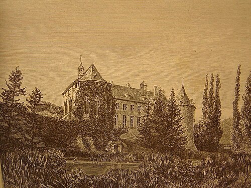
châteauAcoz Castle
castle in Wallonia, Belgium
Getting there Nearest stop or station Acoz Gare, about 9 min on foot OpenStreetMap
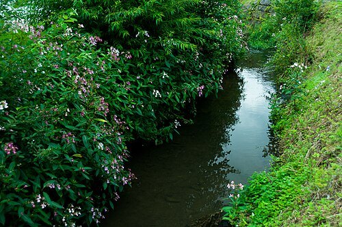
Christophe Pourbaix / CC BY-SA 3.0
riverBiesmelle
river in Belgium
Getting there Nearest stop or station Thuin, about 8 min on foot OpenStreetMap
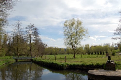 river
Biesme
river in Belgium
Getting there Nearest stop or station Aiseau, about 11 min on foot OpenStreetMap
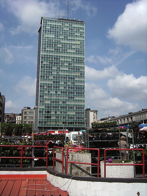 skyscraper
Albertcentrum
Belgian building
Getting there Nearest stop or station Sambre, about 5 min on foot OpenStreetMap
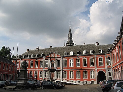 monastery
Abbaye de Malonne
monastery in Belgium
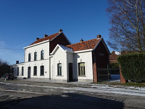 square
Rèves
section of Les Bons Villers, Belgium
- river
Thyria
river in Belgium
Getting there Nearest stop or station Berzée, about 4 min on foot OpenStreetMap
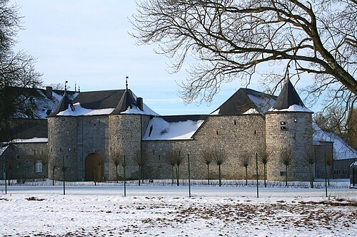
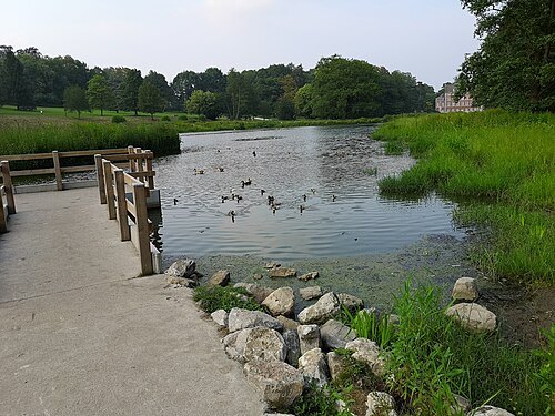 park
Monceau-sur-Sambre park
park at Monceau-sur-Sambre
Getting there Nearest stop or station Moulin, about 10 min on foot OpenStreetMap
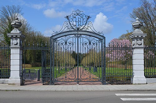 park
Parc Bivort
park in Charleroi, Belgium
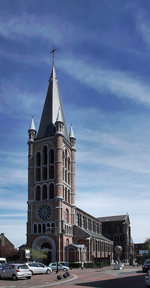 church building
Église de l'Immaculée Conception
church in Charleroi, Belgium
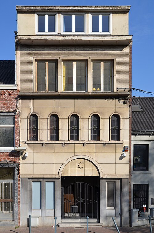 synagogue
Synagogue of Charleroi
building in Belgium
Getting there Nearest stop or station Waterloo, about 6 min on foot OpenStreetMap
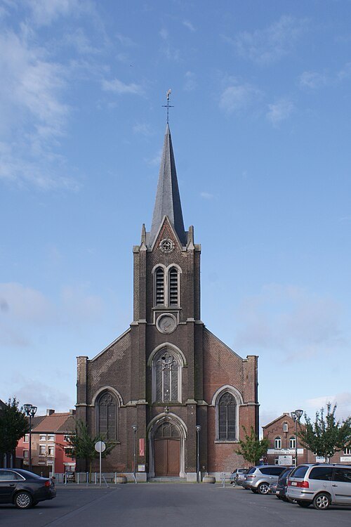 church building
Église Sainte-Barbe
church building in Gilly, Belgium
Getting there Nearest stop or station Gazomètre, about 9 min on foot OpenStreetMap
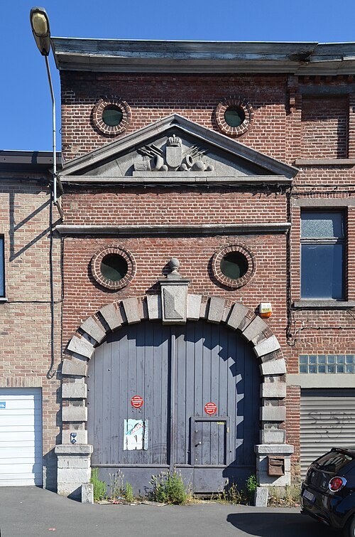 gate
Waterloo Gate
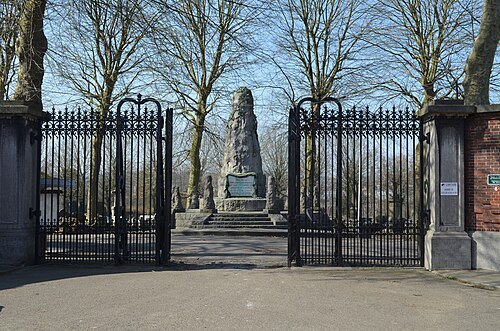 cemetery
Charleroi North Cemetery
cemetery in Belgium
Getting there Nearest stop or station Samaritaine, about 11 min on foot OpenStreetMap
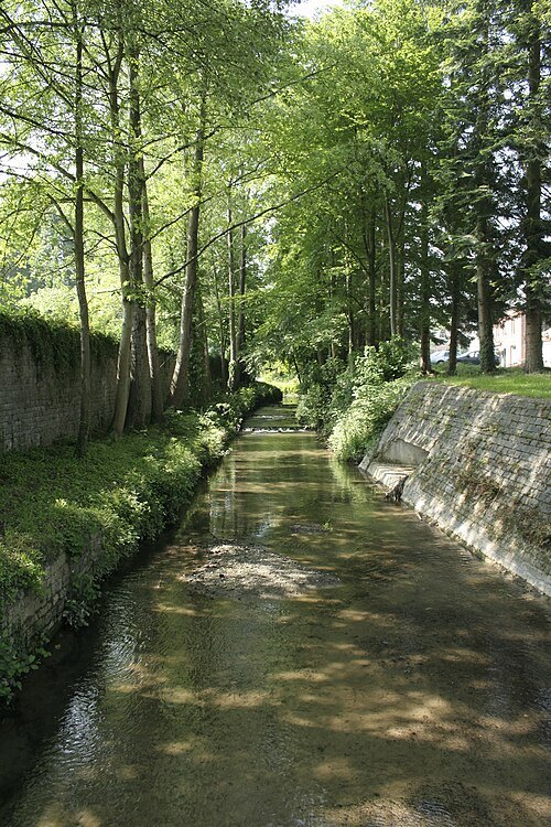
Jean-Pol GRANDMONT / CC BY 3.0
riverHanzinne
stream in Belgium
Getting there Nearest stop or station Châtelet, about 3 min on foot OpenStreetMap
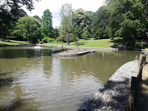
Èl-Gueuye-Noere / CC BY-SA 4.0
parkParc de la Serna
public park in Jumet, Charleroi, Belgium
Getting there Nearest stop or station Madeleine, about 19 min on foot OpenStreetMap
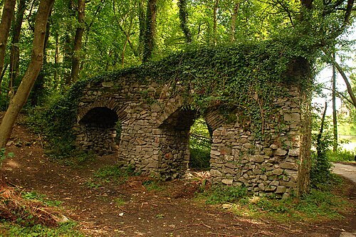 archaeological site
Roman aqueduct of Mettet
aqueduct in Belgium
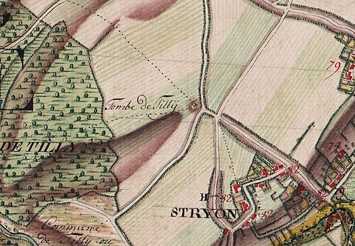
comte de Ferraris / Public domain
archaeological siteTumulus of Tilly
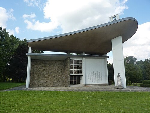 chapel
Chapelle-Mémorial Kongolo de Gentinnes
chapel in Gentinnes, Belgium
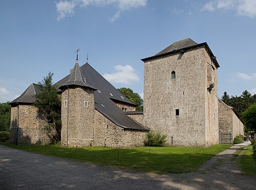 château
Falnuée Castle
castle in Wallonia
Getting there Nearest stop or station Mazy, about 17 min on foot OpenStreetMap
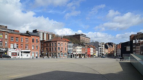 square
Place de la Digue
square in Charleroi, Belgium
Getting there Nearest stop or station Ouest, about 3 min on foot OpenStreetMap


Places to eat
No eating place in this city lists its cuisine and opening hours yet.
Nothing here matches that. Clear a filter and try again.
Opening hours and tickets: OpenStreetMap contributors. Each one shows the day a volunteer last wrote it down, so check the official site before you set out.