Bruges: what to see and where to eat
Everything below comes from open data and each row says where it came from. We have not been to any of these places and we do not rank them.
Filters
Things to see
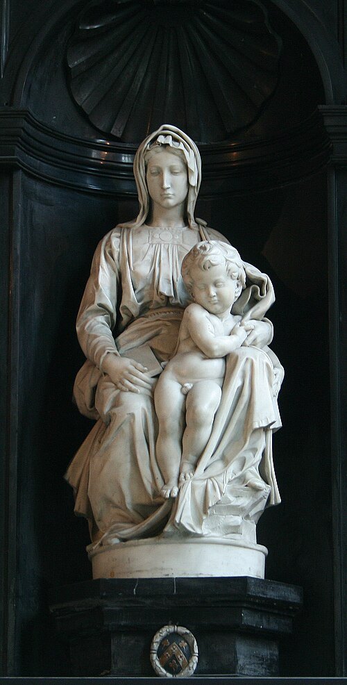
Jean-Pol GRANDMONT / CC BY 3.0
sculptureMadonna of Bruges
sculpture by Michelangelo
Getting there Nearest stop or station Canal Boat ride - Gruuthuse (Nr. 3), about 2 min on foot OpenStreetMap
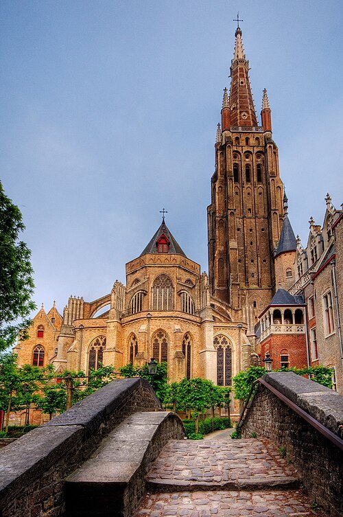 museum
Church of Our Lady
church in Bruges, Belgium
Getting there Nearest stop or station Boottochten Stael, about 2 min on foot OpenStreetMap
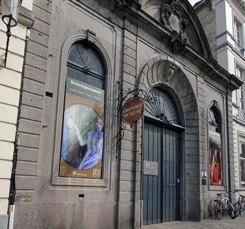 art museum
Groeningemuseum
art museum in Bruges, Belgium
Getting there Nearest stop or station Canal Boat ride - Gruuthuse (Nr. 3), about 2 min on foot OpenStreetMap
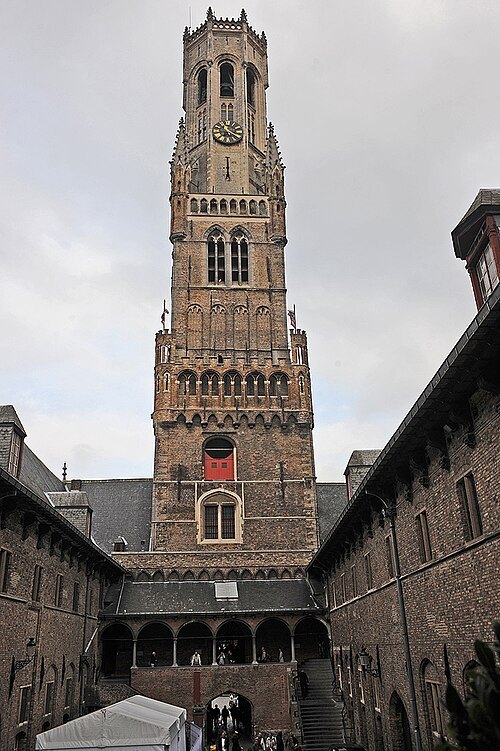 belfry
Belfry of Bruges
medieval bell tower
Getting there Nearest stop or station Canal Boat ride;De Meulemeester (Nr. 5), about 2 min on foot OpenStreetMap
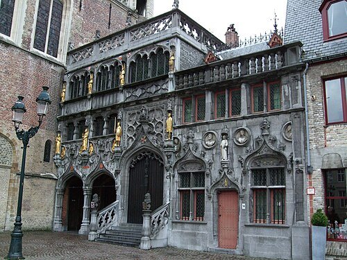 minor basilica
Museum van het Heilig Bloed
church in Bruges, Belgium
Getting there Nearest stop or station Canal Boat ride, about 1 min on foot OpenStreetMap
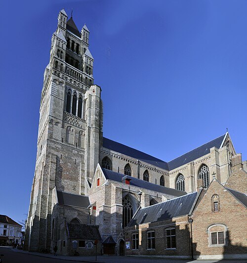 museum
Sint-Salvatorskathedraal
Roman Catholic cathedral in Bruges, Belgium
Getting there Nearest stop or station Canal Boat ride - Gruuthuse (Nr. 3), about 4 min on foot OpenStreetMap
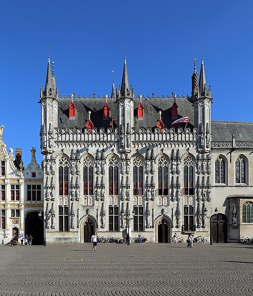 museum
Bruges City Hall
town hall of Bruges, Belgium
Getting there Nearest stop or station Canal Boat ride, about 1 min on foot OpenStreetMap
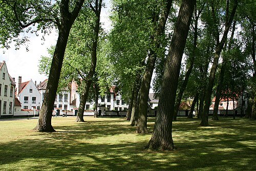
Jean-Pol GRANDMONT / CC BY 3.0
abbeyTen Wijngaerde
béguinage in Bruges, Belgium
Getting there Nearest stop or station Station, Brugge, about 3 min on foot OpenStreetMap
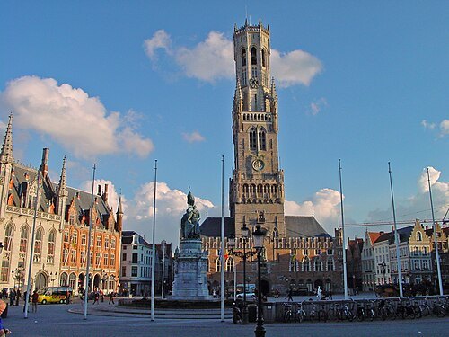
Bert Kaufmann from Roermond, Netherlands / CC BY 2.0
market squareMarkt
square in Bruges, Belgium
Getting there Nearest stop or station Canal Boat ride, about 4 min on foot OpenStreetMap
- archaeological site
St. Donatian's Cathedral
demolished cathedral in Brugge
Getting there Nearest stop or station Canal Boat ride, about 2 min on foot OpenStreetMap
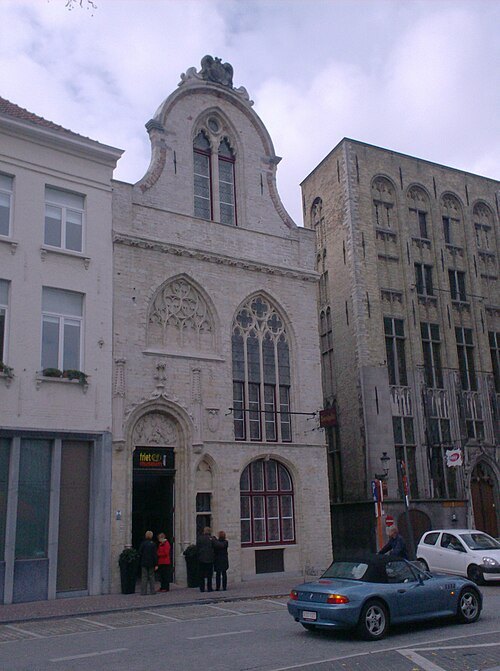 food museum
Frietmuseum
food museum in Bruges, Belgium
Getting there Nearest stop or station Canal Boat ride, about 7 min on foot OpenStreetMap
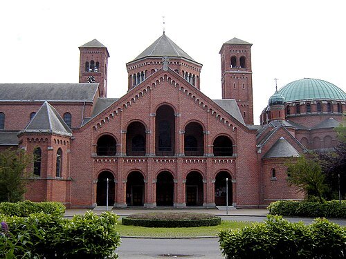
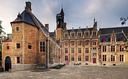 cultural heritage
Gruuthusemuseum
museum in Bruges, Belgium
Getting there Nearest stop or station Canal Boat ride - Gruuthuse (Nr. 3), about 1 min on foot OpenStreetMap
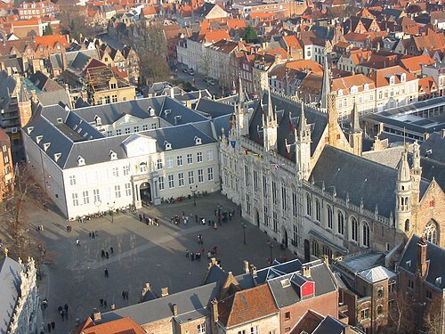 square
Burg
square in Bruges, Belgium
Getting there Nearest stop or station Canal Boat ride, about 1 min on foot OpenStreetMap
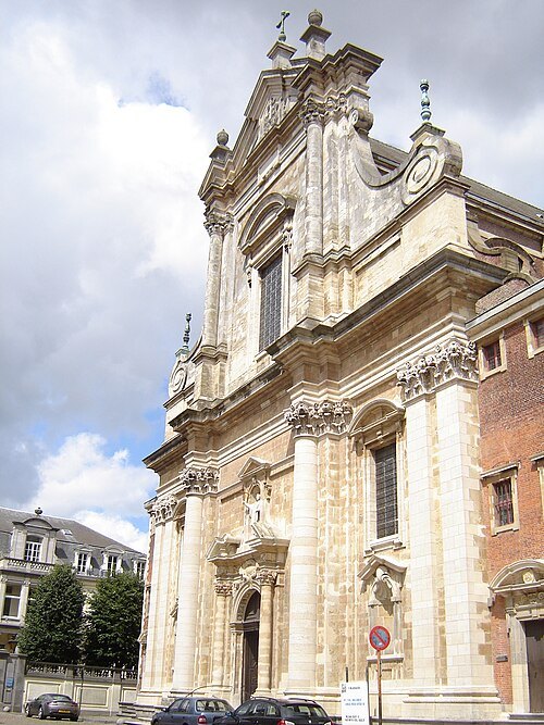 parish church
Sint-Walburgakerk
church in Bruges, Belgium
Getting there Nearest stop or station Canal Boat ride, about 6 min on foot OpenStreetMap
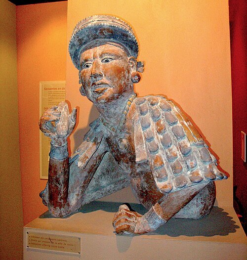 chocolate museum
Choco-Story Bruges
museum in Bruges, Belgium
Getting there Nearest stop or station Canal Boat ride, about 5 min on foot OpenStreetMap
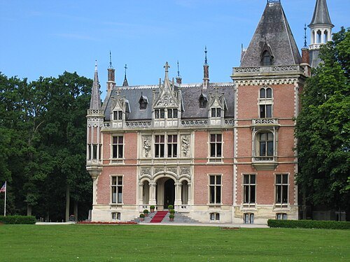
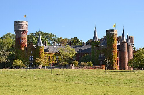
No machine-readable author provided. Tbc assumed (based on copyright claims). / Public domain
châteauAertrycke Castle
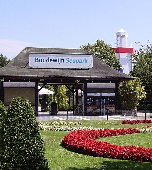
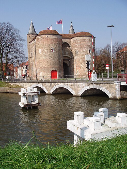
Filibertus (http://vls.wikipedia.org/wiki/Gebruker:Filibertus) / CC BY-SA 4.0
gateGentpoort
city gate in Bruges, Belgium
Getting there Nearest stop or station Boottochten Stael, about 11 min on foot OpenStreetMap
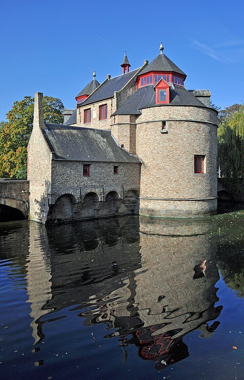 city gate
Ezelpoort
city gate in Bruges, Belgium
Getting there Nearest stop or station Canal Boat ride, about 19 min on foot OpenStreetMap
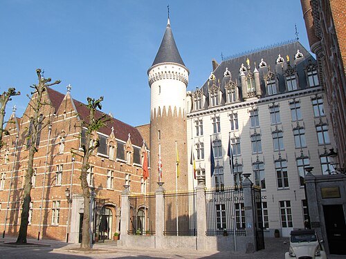 street
Prinsenhof Brugge
street in Bruges, Belgium
Getting there Nearest stop or station Canal Boat ride - Gruuthuse (Nr. 3), about 7 min on foot OpenStreetMap
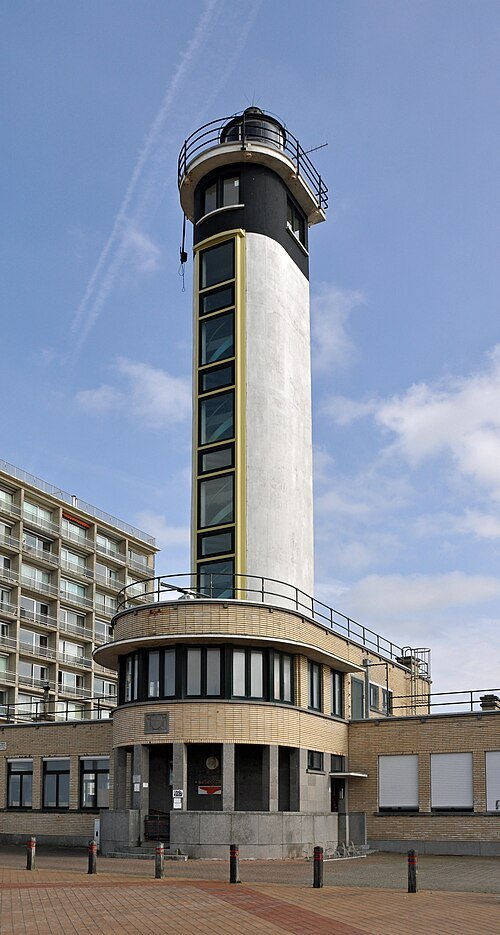 lighthouse
Blankenberge lighthouse
lighthouse in Belgium
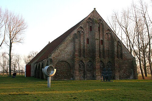
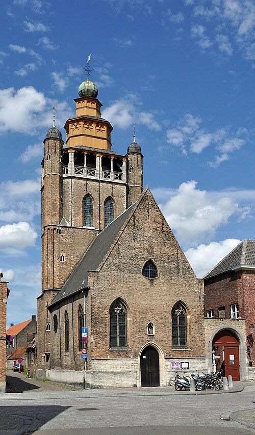 church building
Jerusalem church
church in Bruges, Belgium
Getting there Nearest stop or station Canal Boat ride, about 11 min on foot OpenStreetMap
Marc Ryckaert (MJJR) / CC BY 3.0
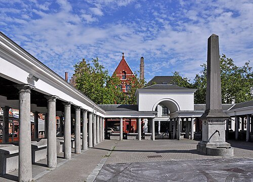
fish marketFish market
market in Bruges, Belgium
Getting there Nearest stop or station Canal Boat ride, about 1 min on foot OpenStreetMap
 museum
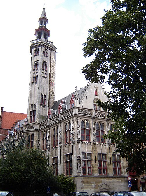
Poortersloge
building in Belgium
Getting there Nearest stop or station Canal Boat ride, about 7 min on foot OpenStreetMap
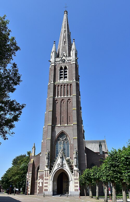
- shipwreck
MS Herald of Free Enterprise
passenger and car ferry that capsized at Zeebrugge in March 1987
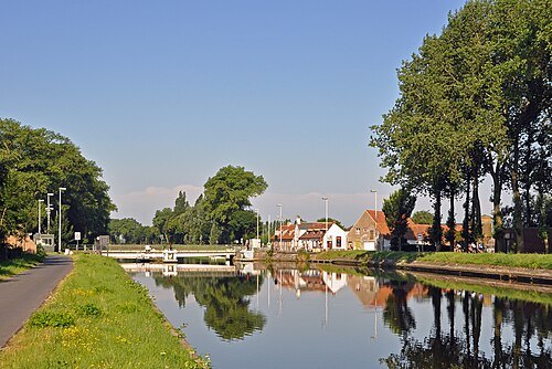 canal
Bruges-Ostend Canal
canal in Belgium
Getting there Nearest stop or station Lamme Goedzak, about 10 min on foot OpenStreetMap
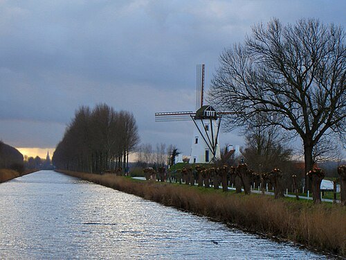
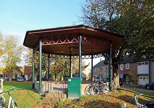
- fortified town
Sluis
town in Zeeland, Netherlands
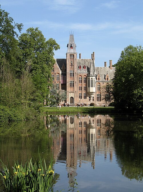
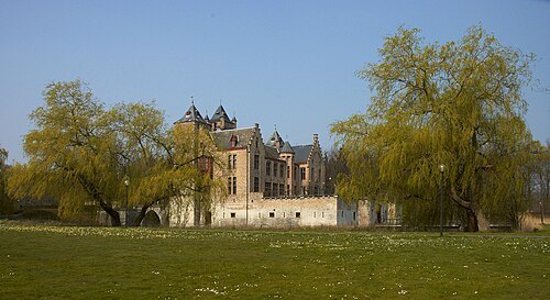
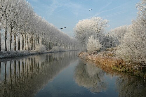 canal
Schipdonk Canal
canal in Belgium
Getting there Nearest stop or station Heist, about 19 min on foot OpenStreetMap
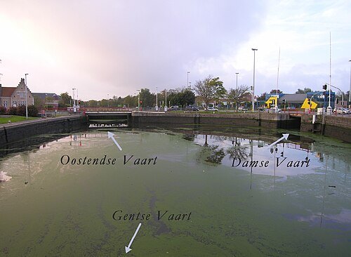 canal
Kanaal Gent-Brugge
canal in Belgium
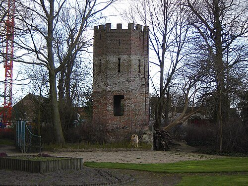
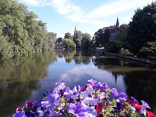 lake
Lake of Love
lake in Bruges, Belgium
Getting there Nearest stop or station Station, Brugge, about 7 min on foot OpenStreetMap
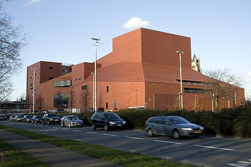 concert hall
Concertgebouw
concert hall in Bruges, Belgium
Getting there Nearest stop or station 't Zand, about 1 min on foot OpenStreetMap
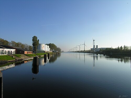 canal
Boudewijnkanaal
canal in Belgium
Getting there Nearest stop or station Lissewege, about 15 min on foot OpenStreetMap
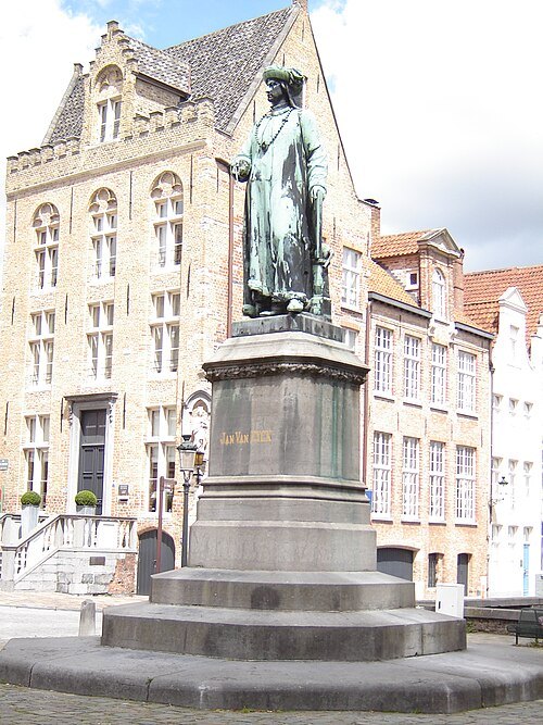 square
Jan van Eyckplein
square in Bruges, Belgium
Getting there Nearest stop or station Canal Boat ride, about 7 min on foot OpenStreetMap
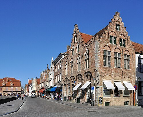
Marc Ryckaert (MJJR) / CC BY 3.0
streetRozenhoedkaai
street in Bruges, Belgium
Getting there Nearest stop or station Canal Boat ride, about 1 min on foot OpenStreetMap
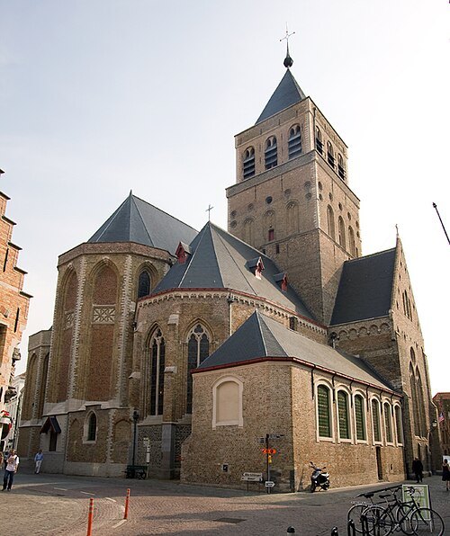 church building
St. James Church
historic church in Bruges, Belgium
Getting there Nearest stop or station Canal Boat ride, about 9 min on foot OpenStreetMap
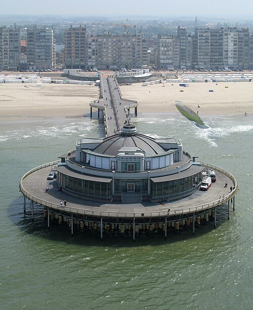
Marc Ryckaert (MJJR) / CC BY-SA 3.0
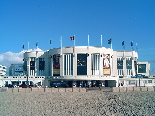
pierBelgium Pier
pier in Blankenberge, Belgium
Getting there Nearest stop or station Blankenberge, about 16 min on foot OpenStreetMap
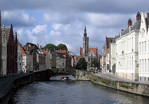
Richardfabi 10:31, 10 September 2006 (UTC) / Public domain
canalSpiegelrei
canal in Bruges, Belgium
Getting there Nearest stop or station Canal Boat ride, about 7 min on foot OpenStreetMap
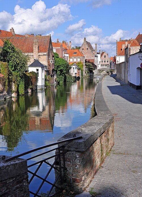
Marc Ryckaert (MJJR) / CC BY 3.0
streetGouden-Handrei
street in Bruges, Belgium
Getting there Nearest stop or station Canal Boat ride, about 9 min on foot OpenStreetMap
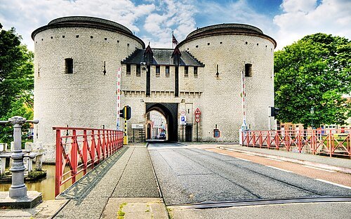 city gate
Kruispoort
gate in Bruges, Belgium
Getting there Nearest stop or station Canal Boat ride, about 16 min on foot OpenStreetMap
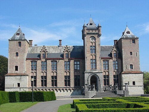 park
Tillegembos
park in Bruges, Belgium
- defunct sports venue
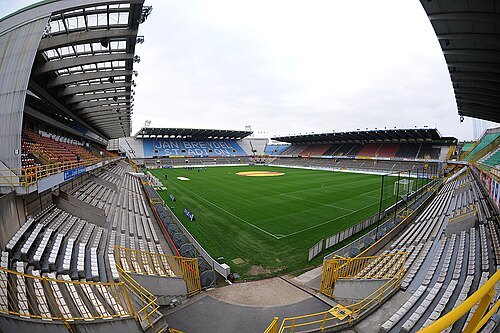
Klokke Stadion
multi-use stadium in Bruges, Belgium
Getting there Nearest stop or station Brugge, about 16 min on foot OpenStreetMap
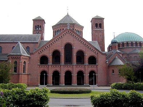 abbey
Saint Andrew's Basilica
church building in Brugge, Belgium
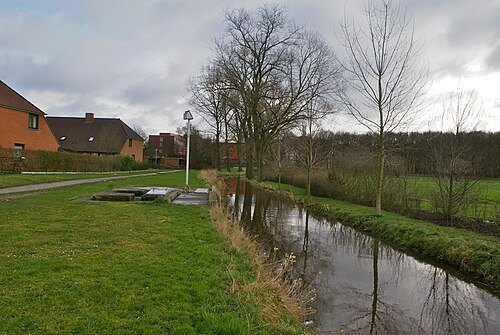 river
Sint-Trudoledeken
river in Belgium
- former river
Sincfal
former anabranch of Scheldt, Netherlands/Belgium
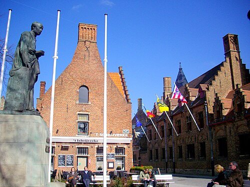 square
Guido Gezelleplein
square in Bruges, Belgium
Getting there Nearest stop or station Canal Boat ride - Gruuthuse (Nr. 3), about 2 min on foot OpenStreetMap
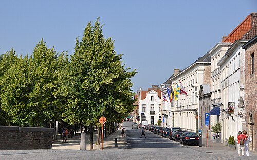 street
Dijver
street and river in Bruges, Belgium
Getting there Nearest stop or station Canal Boat ride;De Meulemeester (Nr. 5), about 1 min on foot OpenStreetMap
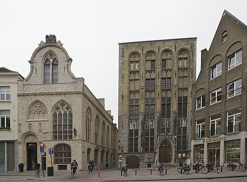 square
Oude Beursplein
square in Bruges, Belgium
Getting there Nearest stop or station Canal Boat ride, about 7 min on foot OpenStreetMap


Places to eat
- cafe
Aux Merveilleux
Food: sandwich
Nothing here matches that. Clear a filter and try again.
Opening hours and tickets: OpenStreetMap contributors. Each one shows the day a volunteer last wrote it down, so check the official site before you set out.