Dhaka: what to see and where to eat
Everything below comes from open data and each row says where it came from. We have not been to any of these places and we do not rank them.
Filters
Things to see
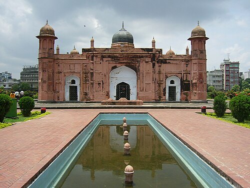
No machine-readable author provided. Shmunmun assumed (based on copyright claims). / Public domain
fortLalbagh Fort
Mughal Architecture
Getting there Nearest stop or station Truck Sattion, about 11 min on foot OpenStreetMap
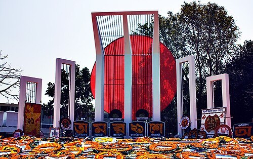
Mostaque Ahammed / CC BY-SA 2.0
memorialShaheed Minar
Monument to the deaths incurred in the Bangladesh for Language Movement in 1952
Getting there Nearest stop or station Dhaka University Metro Rail Station, about 17 min on foot OpenStreetMap
- mosque
Baitul Mukarram National Mosque
National Mosque of Bangladesh
Getting there Nearest stop or station Bangladesh Secretariat, about 8 min on foot OpenStreetMap
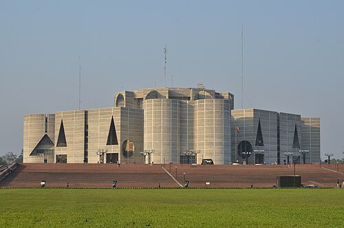 parliament building
Jatiya Sangsad Bhaban
national assembly building of Bangladesh
Getting there Nearest stop or station Bijoy Sarawni, about 10 min on foot OpenStreetMap
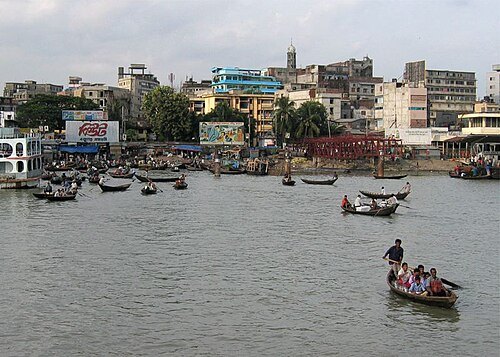
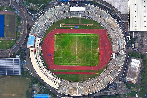 stadium
National Stadium, Dhaka
stadium and a multipurpose sports arena in Dhaka, Bangladesh
Getting there Nearest stop or station Motijheel, about 9 min on foot OpenStreetMap
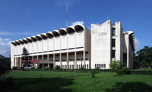
Babul abdul malek / CC BY-SA 4.0
national museumBangladesh National Museum
national museum of Bangladesh
Getting there Nearest stop or station Shahbag Metro Rail Station, about 5 min on foot OpenStreetMap
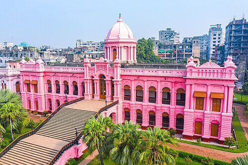
Md. Ahsanul Haque Nayem / CC BY-SA 4.0
museum buildingAhsan Manzil
National museum in Bangladesh
Getting there Nearest stop or station Badamtali Ghat, about 4 min on foot OpenStreetMap
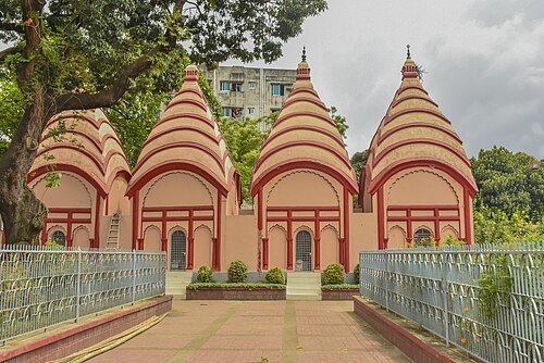
Khirul Alam Emon / CC BY-SA 4.0
hindu templeDhakeshwari Temple
Hindu temple in Dhaka, Bangladesh
Getting there Nearest stop or station Truck Sattion, about 18 min on foot OpenStreetMap
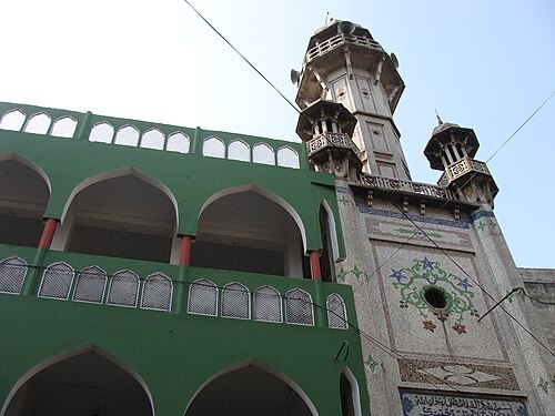 mosque
Chawkbazar Shahi Mosque
mosque in Bangladesh
Getting there Nearest stop or station Mitford Ghat, Ferry terminal, about 11 min on foot OpenStreetMap
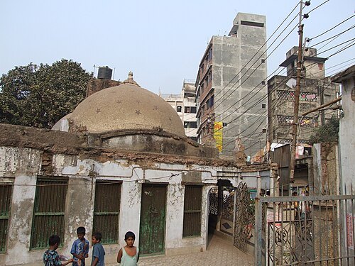
No machine-readable author provided. Mak assumed (based on copyright claims). / CC BY-SA 3.0
mosqueBinat Bibi Mosque
mosque in Bangladesh
Getting there Nearest stop or station Doiya Gonj Mor Bus Stop, about 9 min on foot OpenStreetMap
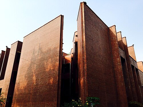 national library
National Library of Bangladesh
national library
Getting there Nearest stop or station Agargaon, about 11 min on foot OpenStreetMap
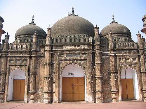
Ragib Hasan / User:Ragib / CC BY 2.5
mosqueKhan Mohammad Mridha Mosque
mosque in Bangladesh
Getting there Nearest stop or station Truck Sattion, about 12 min on foot OpenStreetMap
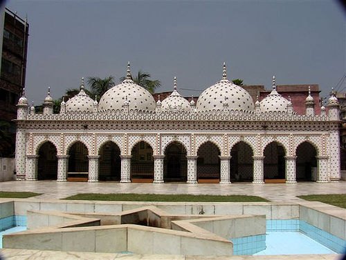
Ishtiaque Ayub Zico. / CC BY-SA 2.5
mosqueStar Mosque
mosque in Bangladesh
Getting there Nearest stop or station Mitford Ghat, Ferry terminal, about 9 min on foot OpenStreetMap
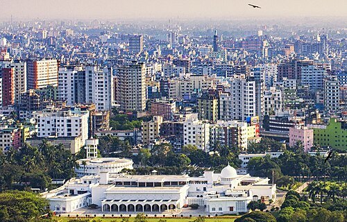 palace
Bangabhaban
Official residence of the President of Bangladesh
Getting there Nearest stop or station Motijheel, about 8 min on foot OpenStreetMap
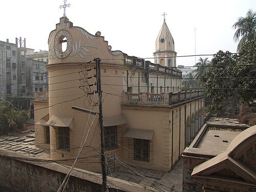
No machine-readable author provided. Mak assumed (based on copyright claims). / CC BY-SA 3.0
church buildingArmenian Church
church in Dhaka, Bangladesh
Getting there Nearest stop or station Mitford Ghat, Ferry terminal, about 5 min on foot OpenStreetMap
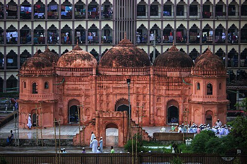
Asif Ahmed Mazumder / CC BY-SA 4.0
mosqueSaat Masjid
mosque in Bangladesh
Getting there Nearest stop or station Mohammadpur BRTC Bus Depot, about 4 min on foot OpenStreetMap
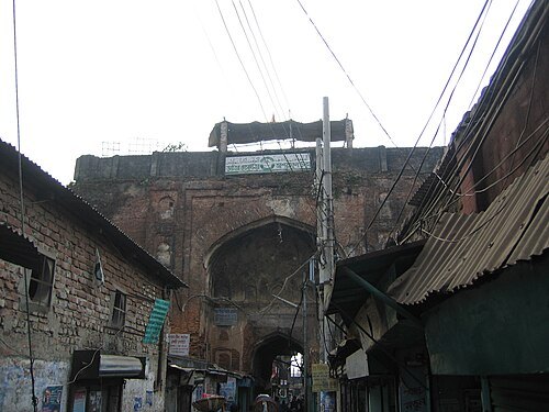
Ragib Hasan, User:Ragib, site / CC BY 2.5
palaceBara Katra
historical and architectural monument in Dhaka, Bangladesh
Getting there Nearest stop or station Mitford Ghat, Ferry terminal, about 9 min on foot OpenStreetMap
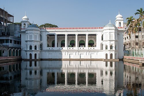 mausoleum
Hussaini Dalan
Muslim religious building
Getting there Nearest stop or station Bongo Bazaar Bus stop, about 16 min on foot OpenStreetMap
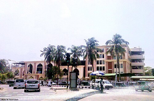
Mohammed Tawsif Salam / CC BY-SA 3.0
mosqueKakrail Mosque
Worldwide Tablighi Markaz in Bangladesh
Getting there Nearest stop or station Kakarail Mosjid Bus stop, about 1 min on foot OpenStreetMap
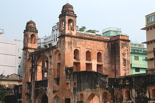
SabbirAbeir (md sabbir) / CC BY-SA 4.0
old townOld Dhaka
Region of Dhaka, Bangladesh
Getting there Nearest stop or station Truck Sattion, about 11 min on foot OpenStreetMap
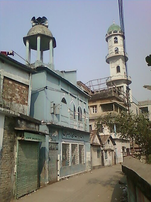
Zahidul Is Chowdhury / CC BY-SA 4.0
mosqueAsrafia Jame Masjid
mosque in Bangladesh
Getting there Nearest stop or station Narayanganj Railway station, about 8 min on foot OpenStreetMap
- mosque
Katabon Mosque
mosque in Bangladesh
Getting there Nearest stop or station Shahbag Metro Rail Station, about 8 min on foot OpenStreetMap
- gurdwara
Gurdwara Nanak Shahi
building in Dhaka, Bangladesh
Getting there Nearest stop or station Dhaka University, about 6 min on foot OpenStreetMap
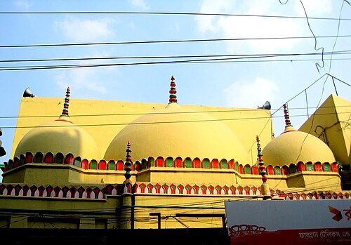 mosque
Kartalab Khan Mosque
mosque in Bangladesh
Getting there Nearest stop or station Mitford Ghat, Ferry terminal, about 11 min on foot OpenStreetMap
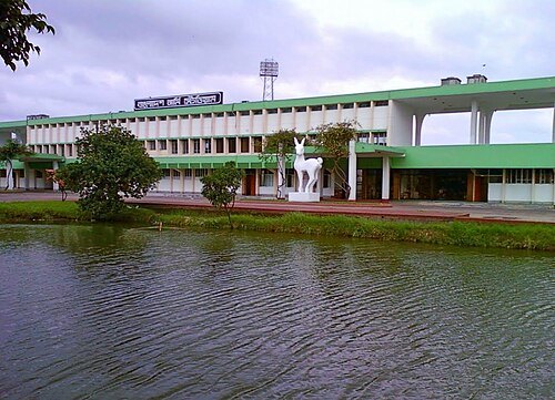
Shameem Bakhshi / CC BY-SA 4.0
stadiumBangladesh Army Stadium
multi-use stadium
Getting there Nearest stop or station Road no 1, about 13 min on foot OpenStreetMap
- hindu temple
Ramna Kali Temple
16th century Hindu temple in Bangladesh
Getting there Nearest stop or station Dhaka University Metro Rail Station, about 5 min on foot OpenStreetMap
- hindu temple
Laxmi Narayan Mandir
Hindu temple in Dhaka, Bangladesh
Getting there Nearest stop or station Gulistan Bus stop, Gulistan Rd, Dhaka, about 12 min on foot OpenStreetMap
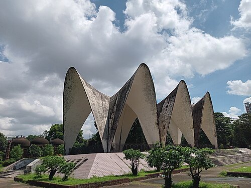 mausoleum
Mausoleum of Three Leaders
Mausoleum in Dhaka, Bangladesh
Getting there Nearest stop or station Dhaka University Metro Rail Station, about 6 min on foot OpenStreetMap
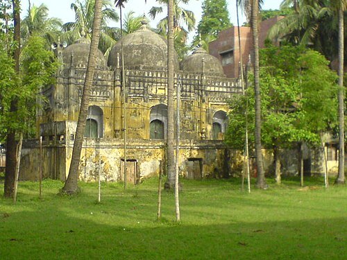
Ashif Anam Siddique (Ruesho) / CC BY-SA 3.0
mosqueMusa Khan Mosque
mosque in Bangladesh
Getting there Nearest stop or station Bongo Bazaar Bus stop, about 10 min on foot OpenStreetMap
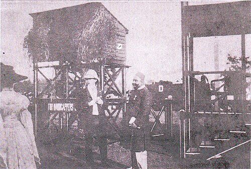
Official photographer of the Dhaka Nawab Family / Public domain
sports venueSuhrawardy Udyan
national memorial in Dhaka, Bangladesh
Getting there Nearest stop or station Dhaka University, about 4 min on foot OpenStreetMap
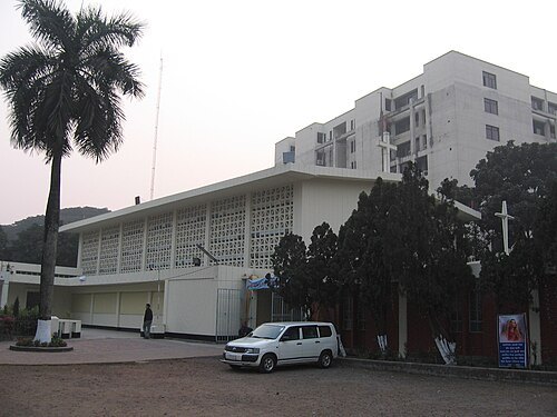 cathedral
St. Mary’s Cathedral, Dhaka
church in Dhaka, Bangladesh
Getting there Nearest stop or station Kakarail Mosjid Bus stop, about 2 min on foot OpenStreetMap
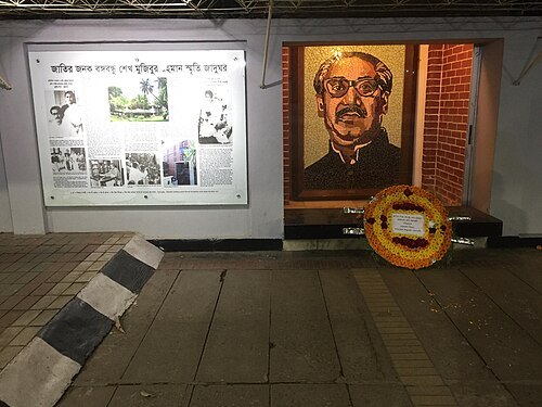
Nurunnaby Chowdhury (Hasive) / CC BY-SA 4.0
memorial museumBangabandhu Memorial Museum
museum in Dhaka
Getting there Nearest stop or station KolaBagan Bus stop, about 14 min on foot OpenStreetMap
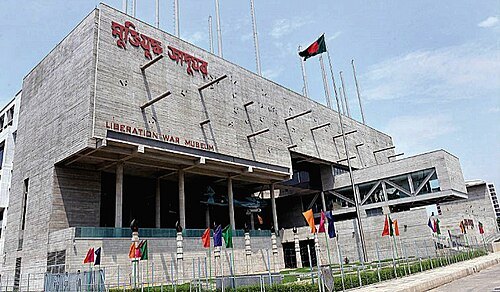 museum
Liberation War Museum
museum in Dhaka, Bangladesh
Getting there Nearest stop or station Agargaon, about 17 min on foot OpenStreetMap
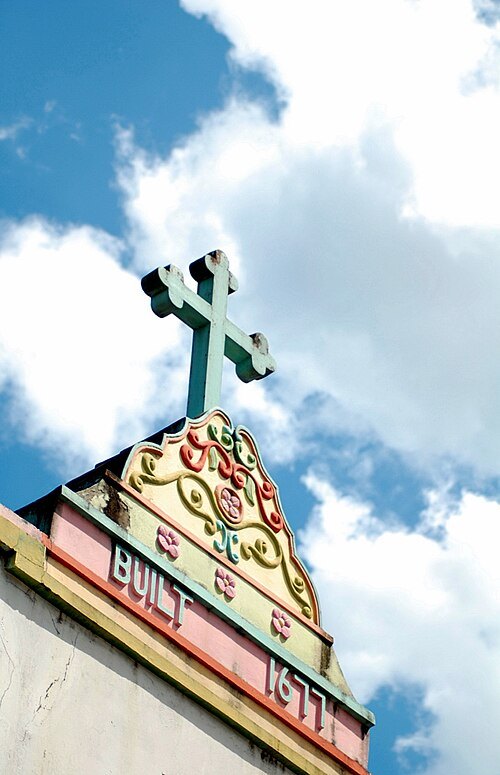
Hameem Shakhawat / CC BY-SA 3.0
church buildingHoly Rosary Church
Dhaka
Getting there Nearest stop or station Tejgaon Railway Station, about 7 min on foot OpenStreetMap
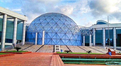 planetarium
Novo Theatre, Dhaka
planetarium in Dhaka, Bangladesh
Getting there Nearest stop or station Bijoy Sarawni, about 8 min on foot OpenStreetMap
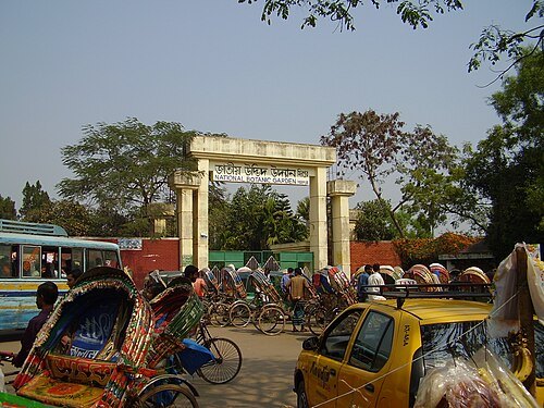
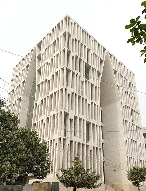 mosque
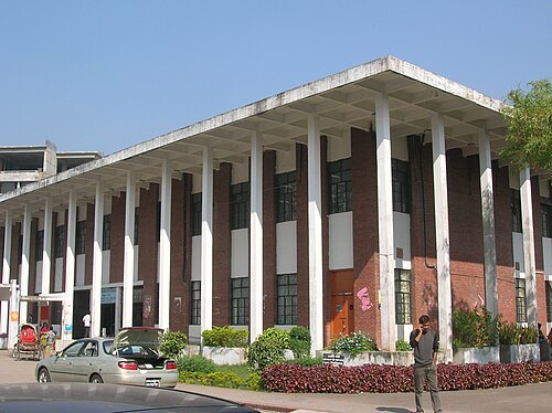
Gulshan Society Mosque
mosque in Dhaka, Bangladesh
Getting there Nearest stop or station Road no 1, about 7 min on foot OpenStreetMap
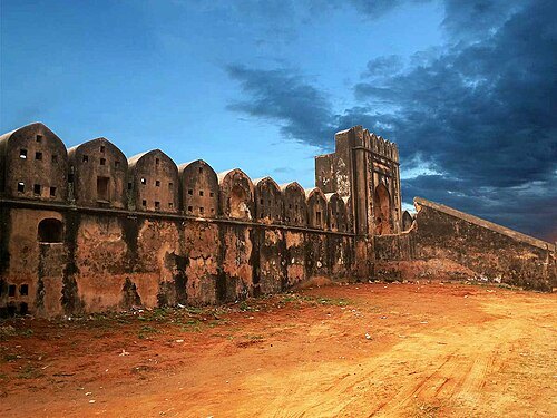
Jubair Bin Iqbal / CC BY-SA 3.0
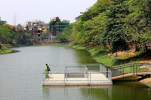
lakeDhanmondi Lake
lake in Bangladesh
Getting there Nearest stop or station KolaBagan Bus stop, about 7 min on foot OpenStreetMap
- hindu temple
Joy Kali Temple
Hindu temple in Bangladesh
Getting there Nearest stop or station Gulistan Bus stop, Gulistan Rd, Dhaka, about 8 min on foot OpenStreetMap
 hindu temple
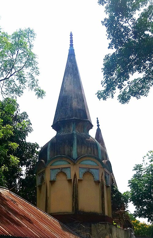
Swami Bagh Temple
Hindu temple in Dhaka, Bangladesh
Getting there Nearest stop or station Doiya Gonj Mor Bus Stop, about 6 min on foot OpenStreetMap
Tausheef Hassan Auntu / CC BY-SA 4.0
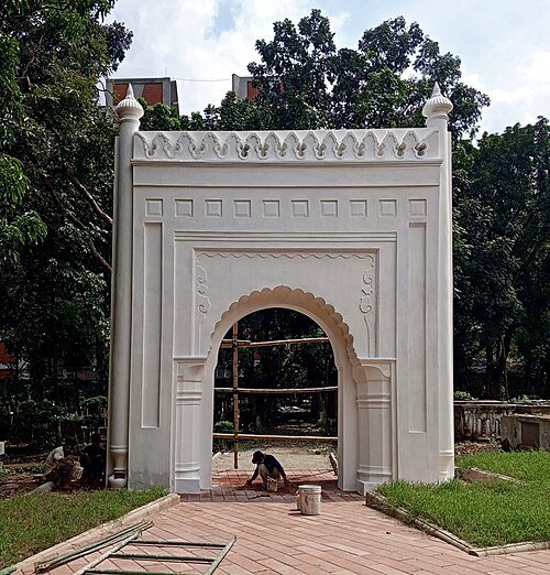
christian cemeteryChristian cemetery, Dhaka
cemetery in Dhaka, Bangladesh
Getting there Nearest stop or station Doiya Gonj Mor Bus Stop, about 11 min on foot OpenStreetMap
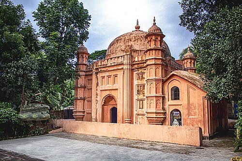 mosque
Shahbaz Khan Mosque
mosque in Bangladesh
Getting there Nearest stop or station Dhaka University Metro Rail Station, about 7 min on foot OpenStreetMap
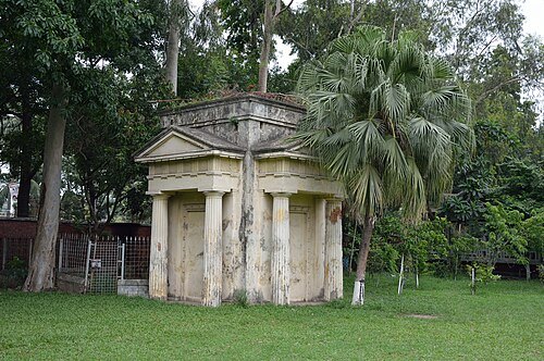 monument
Greek Memorial, Dhaka
monument in Dhaka, Bangladesh
Getting there Nearest stop or station Dhaka University, about 1 min on foot OpenStreetMap
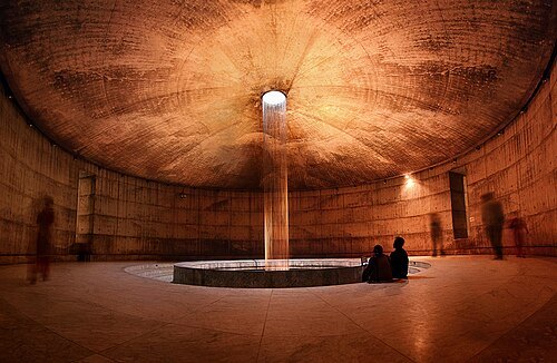 museum
Museum of Independence
Museum in Dhaka
Getting there Nearest stop or station Dhaka University, about 5 min on foot OpenStreetMap
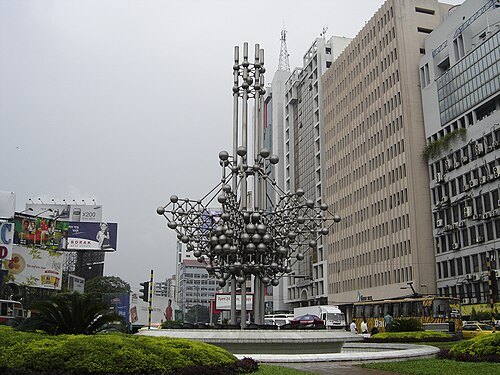 fountain
SAARC Fountain
fountain in Dhaka, Bangladesh
Getting there Nearest stop or station Karwan Bazar, about 3 min on foot OpenStreetMap
- mosque
Shaista Khan Mosque
mosque in Bangladesh
Getting there Nearest stop or station Mitford Ghat, Ferry terminal, about 3 min on foot OpenStreetMap
- church building
St Thomas Church Dhaka
church in Dhaka, Bangladesh
Getting there Nearest stop or station Sadar Ghat, about 9 min on foot OpenStreetMap
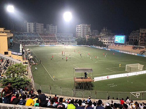 stadium
Bir Shreshtha Shaheed Shipahi Mostafa Kamal Stadium
football stadium in Bangladesh
Getting there Nearest stop or station Kamalapur Railway Station, about 10 min on foot OpenStreetMap
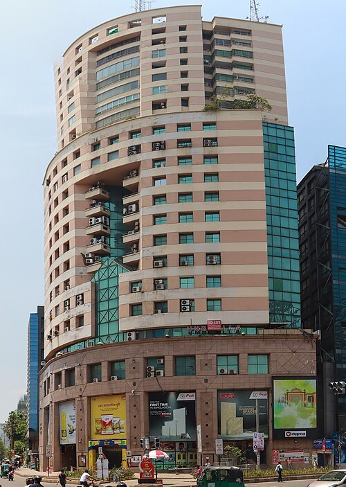 skyscraper
Navana Tower
mixed use building in Gulshan Avenue, Circle
Getting there Nearest stop or station Gulshan Lake, about 6 min on foot OpenStreetMap
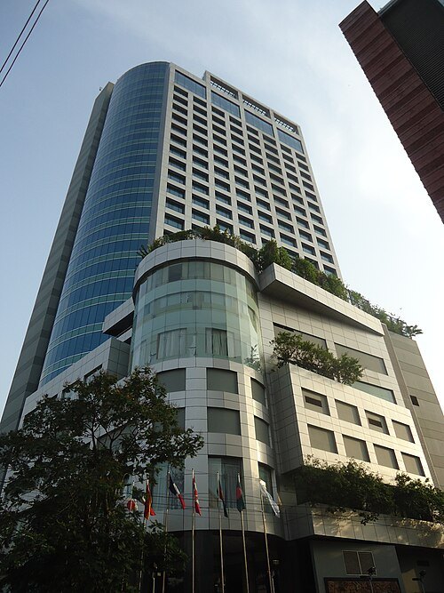 skyscraper
Dhaka Westin
Tallest hotel in Bangladesh
Getting there Nearest stop or station Road no 1, about 18 min on foot OpenStreetMap
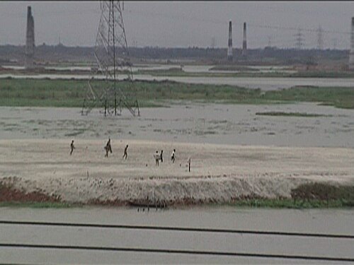
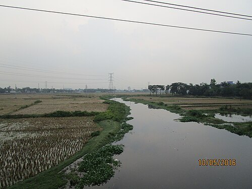 river
Balu River
river in Bangladesh
Getting there Nearest stop or station Demra Circle Bus Stop, about 12 min on foot OpenStreetMap
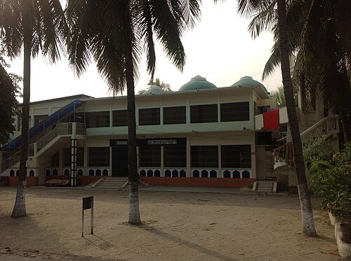
- mosque
Masjid Al Mustafa


Places to eat
- restaurant
Hakka Dhaka
Food: indian
- restaurant
Shawarma House
Food: arab, italian, regional
- restaurant
Tasty Treat
Food: pizza, burger, candy, cake
- restaurant
Gaosia Restrurent
Food: burger,pizza,chinis,
- restaurant
Jannat Hotel
Food: regional
- restaurant
Khaja Ajmeri Hotel
Food: biriani
- restaurant
Panshee
Food: regional
- restaurant
Pizza Hut
Food: pizza
- restaurant
TBC
Food: japanese
- restaurant
Vikrampur Mistanno Bhandar
Food: sandwich,singara,samucha,sweets
- restaurant
চাঁদপুর হোটেল
Food: regional
- restaurant
IER Canteen
Food: regional
Nothing here matches that. Clear a filter and try again.
Opening hours and tickets: OpenStreetMap contributors. Each one shows the day a volunteer last wrote it down, so check the official site before you set out.