Chittagong: what to see and where to eat
Everything below comes from open data and each row says where it came from. We have not been to any of these places and we do not rank them.
Filters
Things to see
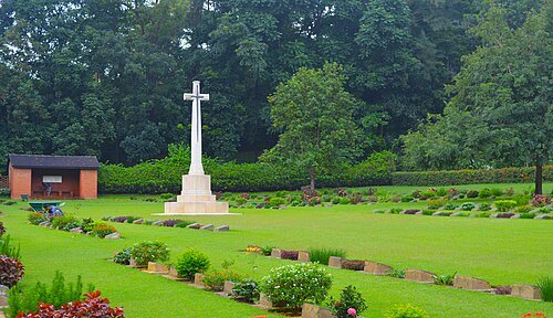 commonwealth war graves commission maintained cemetery
Chittagong War Cemetery
Commonwealth War Graves Commission cemetery in Chittagong, Bangladesh
Getting there Nearest stop or station Garibulla Shah A/C Bus Counter, CDA Ave, Chattogram, about 11 min on foot OpenStreetMap
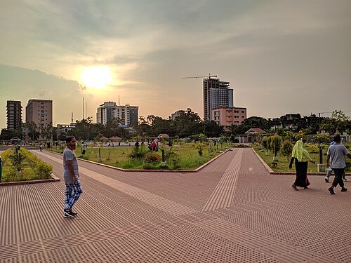 park
Jamburi Park
park in Chittagong
Getting there Nearest stop or station Choumuhuni Bus Stand, Sheikh Mujib Rd, Chattogra, about 16 min on foot OpenStreetMap
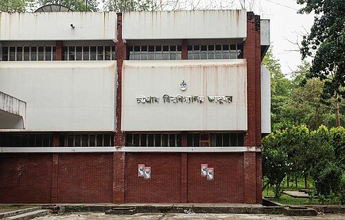 university museum
Chittagong University Museum
Chittagong University Museum is a University Museum of University of Chittagong
Getting there Nearest stop or station Chittagong University Railway Station, about 17 min on foot OpenStreetMap
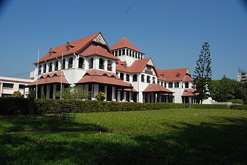 museum
Zia Memorial Museum
museum in Chittagong, Bangladesh
Getting there Nearest stop or station CDA Avenue Bus Station, Bus ticket agency, Chattogram, about 10 min on foot OpenStreetMap
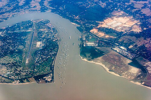
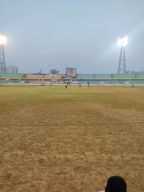 stadium
District Stadium, Chattogram
Cricket and football ground in Bangladesh
Getting there Nearest stop or station Cricket Stadium Railway Station, about 7 min on foot OpenStreetMap
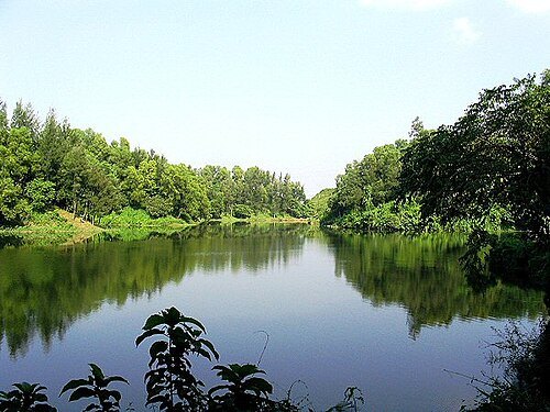
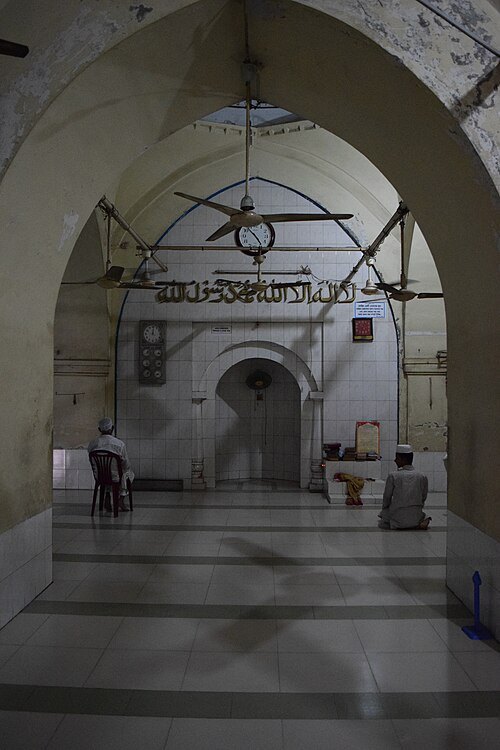
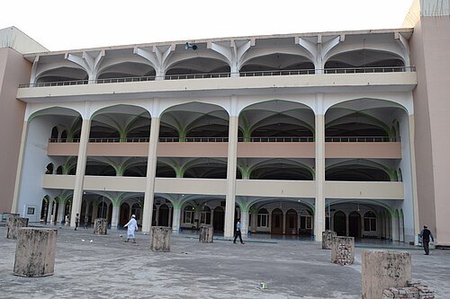 mosque
Baitul Falah
mosque in Bangladesh
Getting there Nearest stop or station CDA Avenue Bus Station, Bus ticket agency, Chattogram, about 6 min on foot OpenStreetMap
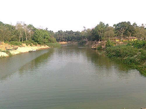
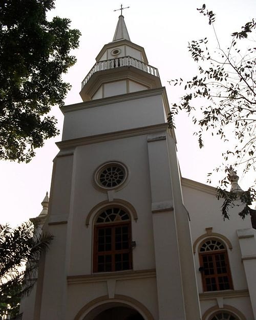 cathedral
Our Lady of the Holy Rosary Cathedral
Cathedral in Chittagong
Getting there Nearest stop or station Chattogram Railway Station, about 16 min on foot OpenStreetMap
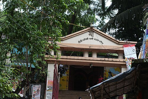
Risadul Islam (Foisal) / CC BY-SA 4.0
templeChatteshwari Temple
temple of Chittagong, Banngladesh
Getting there Nearest stop or station CDA Avenue Bus Station, Bus ticket agency, Chattogram, about 7 min on foot OpenStreetMap
 mosque
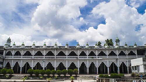
Anderkilla Shahi Jame Mosque
mosque in Bangladesh
Getting there Nearest stop or station Chattogram Railway Station, about 17 min on foot OpenStreetMap
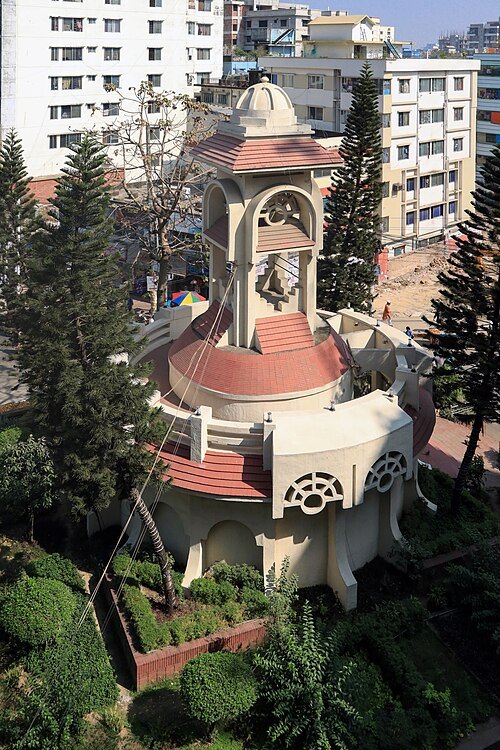 square
Cheragi Pahar
is a cultural and historical place in Chittagong, Bangladesh.
Getting there Nearest stop or station Chattogram Railway Station, about 18 min on foot OpenStreetMap
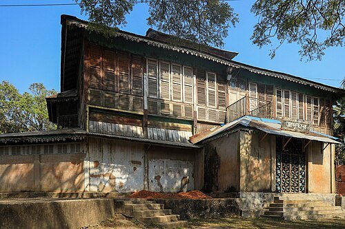 railway museum
Bangladesh Railway Museum
Railway Museum in Chattogram
Getting there Nearest stop or station Pahartoli, about 10 min on foot OpenStreetMap
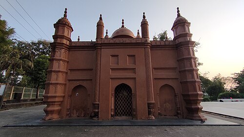 mosque
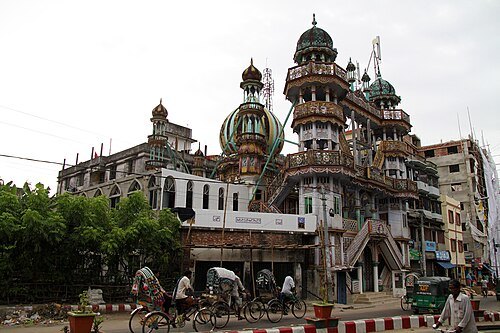
Asgar Ali Chowdhury Jame Mosque
Mosque in Chittagong, Bangladesh
Getting there Nearest stop or station Mohila Polytechnic, about 5 min on foot OpenStreetMap
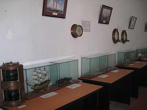 maritime museum
Bangladesh Maritime Museum
museum in Chittagong, Bangladesh
Getting there Nearest stop or station CUFL Ferry Ghat, about 17 min on foot OpenStreetMap
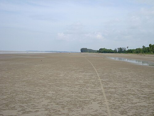
- hill
Batali Hill
highest hill in Chittagong
Getting there Nearest stop or station Dewanhat Halt, about 6 min on foot OpenStreetMap
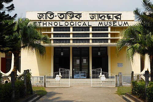 museum
Ethnological Museum
museum in Chittagong
Getting there Nearest stop or station Choumuhuni Bus Stand, Sheikh Mujib Rd, Chattogra, about 8 min on foot OpenStreetMap
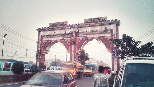 arch
City Gate, Chittagong
gate in Chittagong, Bangladesh
Getting there Nearest stop or station Kaibalyadham, about 17 min on foot OpenStreetMap
- beach
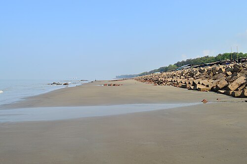
Kattali Sea Beach
beach in Chittagong
Getting there Nearest stop or station Jamuna Logistics & Shipping Limited, Chattogram, about 11 min on foot OpenStreetMap
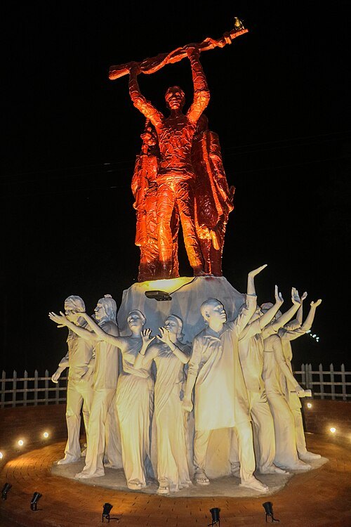 sculpture
Joy Bangla
sculpture in the University of Chittagong
Getting there Nearest stop or station Chittagong University Railway Station, about 13 min on foot OpenStreetMap
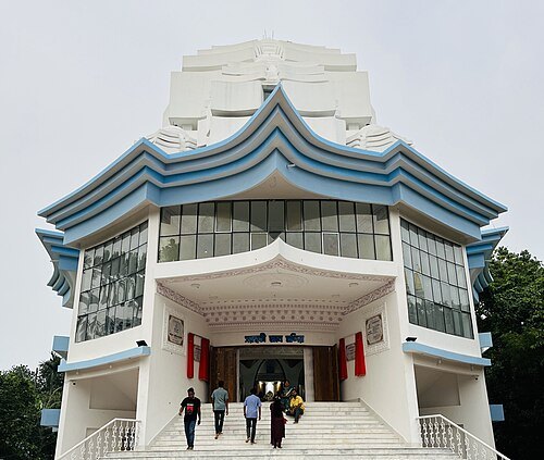
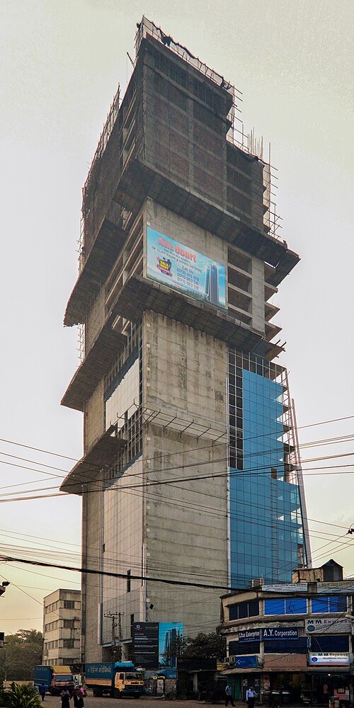 skyscraper
Aziz Court Imperial
Skyscraper
Getting there Nearest stop or station Choumuhuni Bus Stand, Sheikh Mujib Rd, Chattogra, about 8 min on foot OpenStreetMap
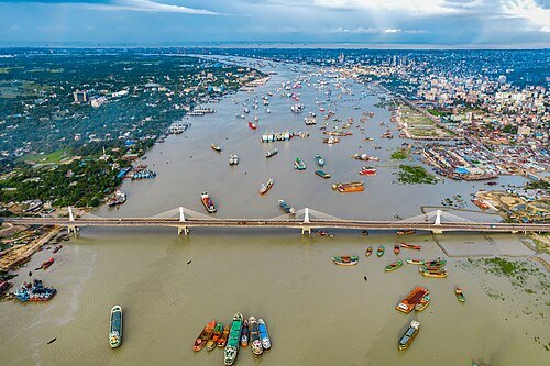
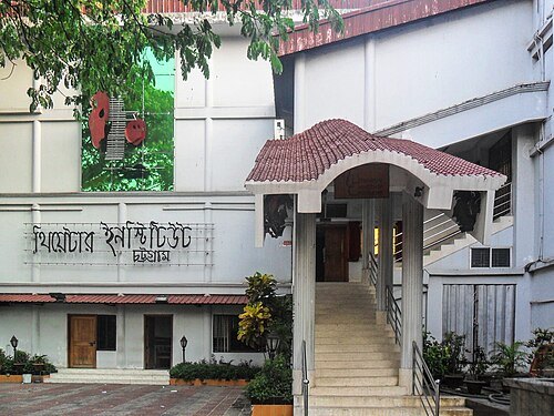
Rafaell Russell / CC BY-SA 4.0
theatre buildingTheatre Institute Chittagong
the cultural convention center in Chittagong, Bangladesh.
Getting there Nearest stop or station Chattogram Railway Station, about 6 min on foot OpenStreetMap
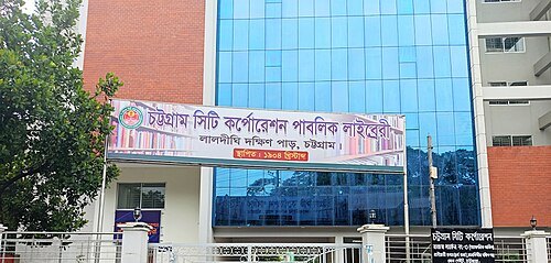 library
Chattogram City Corporation Public Library
public library in Chittagong, Bangladesh
Getting there Nearest stop or station Chattogram Railway Station, about 14 min on foot OpenStreetMap
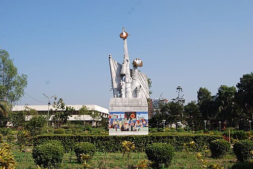 park
Biplob Udyan
park in Chittagong, Bangladesh
Getting there Nearest stop or station Sholashohor Junction, about 9 min on foot OpenStreetMap
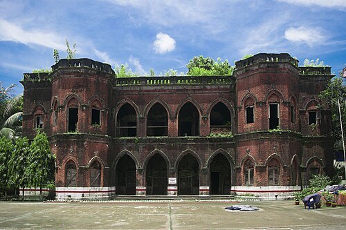
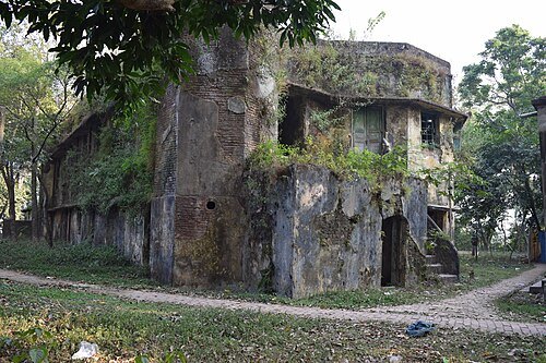 fort
Darul Adalat
Portuguese fort in Chattogram
Getting there Nearest stop or station CDA Avenue Bus Station, Bus ticket agency, Chattogram, about 16 min on foot OpenStreetMap
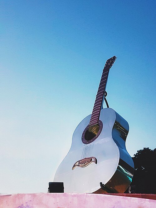
Unknown artistUnknown artist / CC BY-SA 4.0
sculptureRupali Guitar (sculpture)
Sculpture
Getting there Nearest stop or station Garibulla Shah A/C Bus Counter, CDA Ave, Chattogram, about 13 min on foot OpenStreetMap
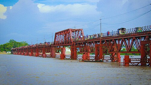 bridge
Kalurghat Bridge
first bridge built over the Karnaphuli in Chattogram, Bangladesh
Getting there Nearest stop or station Kalurghat Bus Station, about 7 min on foot OpenStreetMap
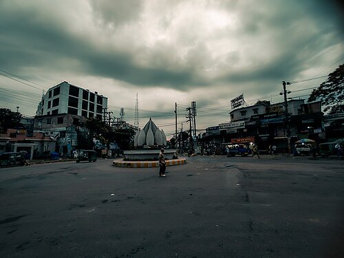 square
Oxygen Square
Urban square in Bangladesh
Getting there Nearest stop or station Old bus station rangamati, Old bus station, Chattogram, about 1 min on foot OpenStreetMap
- mosque
Fakir Mosque
mosque in Bangladesh
Getting there Nearest stop or station হাটহাজারী, about 7 min on foot OpenStreetMap


Places to eat
- restaurant
Sadia's Kitchen
Food: shawarma, burger, indian
- restaurant
Sub Kebab
Food: kebab, sandwich, chinese
- restaurant
Well Food
Food: cakes and bakery
- restaurant
7dayz
Food: regional
- restaurant
Cafe71 (RF-Police Plaza)
Food: regional, fish and chips, coffee shop
Nothing here matches that. Clear a filter and try again.
Opening hours and tickets: OpenStreetMap contributors. Each one shows the day a volunteer last wrote it down, so check the official site before you set out.