Wels: what to see and where to eat
Everything below comes from open data and each row says where it came from. We have not been to any of these places and we do not rank them.
Filters
Things to see
- market municipality
Steinerkirchen an der Traun
municipality in Wels-Land District, Upper Austria, Austria
Liberaler Humanist / CC BY-SA 3.0
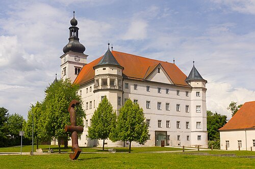
châteauSchloss Hartheim
castle at Alkoven in Upper Austria
Getting there Nearest stop or station Alkoven, about 12 min on foot OpenStreetMap
- abbey
Lambach Abbey
Benedictine Abbey in Wels-Land, Upper Austria
Getting there Nearest stop or station Stadl-Paura, about 14 min on foot OpenStreetMap
- museum
Burg Wels
building in Upper Austria, Austria
Getting there Nearest stop or station Kaiser-Josef-Platz, about 7 min on foot OpenStreetMap
- parish church
Stadtpfarrkirche
cemetery in Wels, Austria
Getting there Nearest stop or station Kaiser-Josef-Platz, about 5 min on foot OpenStreetMap
- catholic pilgrimage church
Pfarr- und Wallfahrtskirche zur Allerheiligsten Dreifaltigkeit
church building in Stadl-Paura, Austria
- château
Schloss Almegg
building in Steinerkirchen an der Traun, Austria
- château
Schloss Polheim Wels
building in Upper Austria, Austria
Getting there Nearest stop or station Kaiser-Josef-Platz, about 6 min on foot OpenStreetMap
- parish church
Sacred Heart Church in Wels
parish church
Getting there Nearest stop or station Wels Hauptbahnhof, about 12 min on foot OpenStreetMap
Radler59 (talk) / CC BY-SA 4.0
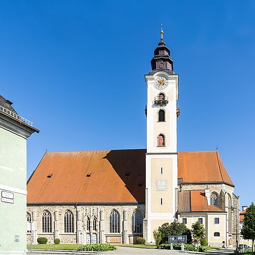
church buildingparish church in Eferding
church building in Eferding, Austria
Getting there Nearest stop or station Bahnhof Eferding, about 16 min on foot OpenStreetMap
- parish church
Pfarrkirche
parish church in Vorchdorf, Austria
Getting there Nearest stop or station Vorchdorf Schule, about 7 min on foot OpenStreetMap
- cemetery
Sankt Martin
cemetery in Meggenhofen, Austria
- cemetery
Saint Margaret of Antioch Church
church in Niederthalheim, Austria
- church building
Saint Stephen Church
church building in Bad Wimsbach-Neydharting, Austria
Getting there Nearest stop or station Bad Wimsbach-Neydharting, about 4 min on foot OpenStreetMap
- parish church
Saint Martin Church
parish church with former cemetery in Steinerkirchen an der Traun, Austria
- church building
Pfarr- und Wallfahrtskirche Maria Rast
church building in Kematen am Innbach, Austria
- church building
Grieskirchen Parish Church
church building in Grieskirchen, Upper Austria
Getting there Nearest stop or station Grieskirchen Busbahnhof (Postamt), about 6 min on foot OpenStreetMap
- cemetery
Eberstalzell Parish Church
parish church and cemetery in the Upper Austrian municipality of Eberstalzell, Austria
- market municipality
Lambach
market town in the Wels-Land district of the Austrian state of Upper Austria
- market municipality
Bad Wimsbach-Neydharting
municipality in Wels-Land District, Upper Austria, Austria
- market municipality
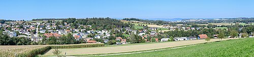
Wallern an der Trattnach
municipality in Grieskirchen District, Upper Austria, Austria
- market municipality
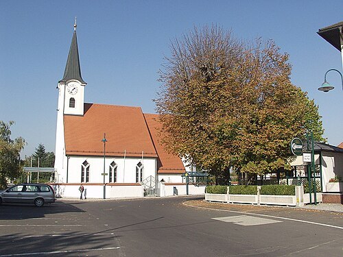
Sankt Marienkirchen an der Polsenz
municipality in Eferding District, Upper Austria, Austria
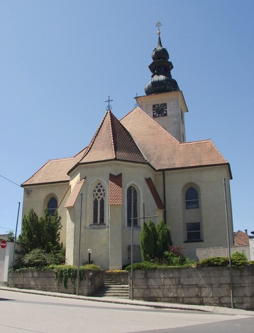
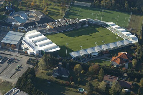
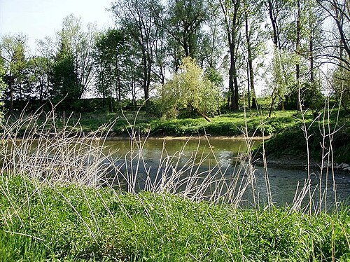
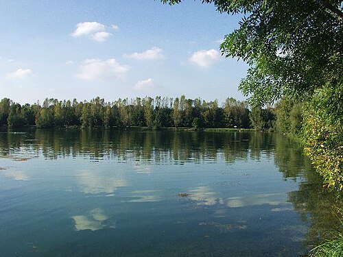
The original uploader was Dergreg: at German Wikipedia. / CC BY 2.0
- château
Eggenberg Castle in Vorchdorf
château
Getting there Nearest stop or station Vorchdorf-Eggenberg, about 15 min on foot OpenStreetMap
- mountain
Gusterberg
mountain in the Upper Austrian Alpine Foreland
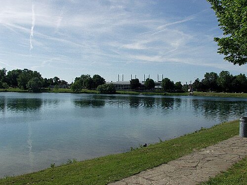
The original uploader was Dergreg: at German Wikipedia. / CC BY-SA 3.0
- protected area
Naturpark Obst-Hügel-Land
protected area in Austria


Places to eat
- restaurant
Akropolis
Food: greek
- restaurant
China Garten Restaurant
Food: chinese
- restaurant
David King China-Restaurant
Food: chinese
- restaurant
Delphi
Food: greek
- restaurant
Fiore & Mattea
Food: italian
- restaurant
Osteria da Nonna Nena
Food: italian
- restaurant
Singapor
Food: chinese
- restaurant
Miyako
Food: ramen
Nothing here matches that. Clear a filter and try again.
Opening hours and tickets: OpenStreetMap contributors. Each one shows the day a volunteer last wrote it down, so check the official site before you set out.