Villach: what to see and where to eat
Everything below comes from open data and each row says where it came from. We have not been to any of these places and we do not rank them.
Filters
Things to see
- cultural heritage site in slovenia
Dovje
village in Upper Carniola, Slovenia
Getting there Nearest stop or station Mojstrana, about 15 min on foot OpenStreetMap
- ruins
Landskron Castle
Ruined castle (German: Burgruine Landskron, Slovene: Grad Vajškra) northeast of Villach in the state of Carinthia, Austria
Getting there Nearest stop or station Schiffsstation Villach/Landskron (St. Andrä), about 15 min on foot OpenStreetMap
- cultural heritage site in slovenia
Log
place in Municipality of Kranjska Gora, Upper Carniola, Slovenia
- museum
Slovenian Alpine Museum
Mountaineering museum in Mojstrana, Slovenia
Getting there Nearest stop or station Mojstrana, about 11 min on foot OpenStreetMap
- mountain
Wöllaner Nock
mountain in the Gurktal Alps in Carinthia
Getting there Nearest stop or station Kaiserburgbahn Bergstation, about 12 min on foot OpenStreetMap
- ruins
Burgruine Federaun
castle ruin
Getting there Nearest stop or station Fürnitz, about 14 min on foot OpenStreetMap
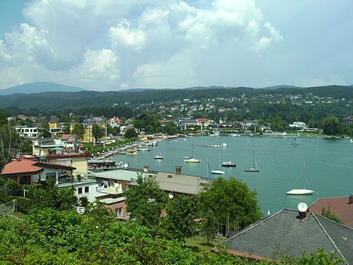
E.peiffer@gmx.net at German Wikipedia (Original text: E.peiffer@gmx.net) / CC BY-SA 3.0
- designated spa town
Bad Kleinkirchheim
- market municipality
Finkenstein am Faaker See
municipality in Villach-Land District, Carinthia, Austria
- lake
Lake Ossiach
lake in Austria
Getting there Nearest stop or station Schiffsstation St. Urban, about 14 min on foot OpenStreetMap
- nature reserve
Zelenci
nature reserve near the town of Kranjska Gora
Getting there Nearest stop or station Velika dolina, about 7 min on foot OpenStreetMap
- mountain
Gerlitzen
mountain in the Nock Mountains in Carinthia
Getting there Nearest stop or station Wörthersee 6er-Family-Jet, about 3 min on foot OpenStreetMap
- lake
Lake Jasna
lake in Slovenia
Getting there Nearest stop or station Kekec, about 14 min on foot OpenStreetMap
- mountain
Mirnock
mountain in the Gurktal Alps in Carinthia
- mountain
Ferlacher Spitze
mountain in the Karawanks in Carinthia
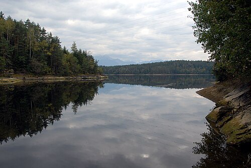
- astronomical observatory
Kanzelhoehe Solar Observatory
observatory in Carinthia
Getting there Nearest stop or station Kanzelbahn, about 7 min on foot OpenStreetMap
- mountain
Dovški križ
mountain


Places to eat
- cafe
Café Cappuccino
Food: coffee shop
- restaurant
Fulin
Food: sushi
- restaurant
Orient Foodbar
Food: oriental
- restaurant
Tutto Apposto
Food: italian
- restaurant
Zack Noodles
Food: noodle
- restaurant
Gasthaus Gasser
Food: regional
- restaurant
Orientino
Food: italian, kebab
Nothing here matches that. Clear a filter and try again.
Opening hours and tickets: OpenStreetMap contributors. Each one shows the day a volunteer last wrote it down, so check the official site before you set out.