St. Pölten: what to see and where to eat
Everything below comes from open data and each row says where it came from. We have not been to any of these places and we do not rank them.
Filters
Things to see
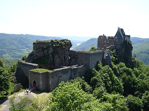
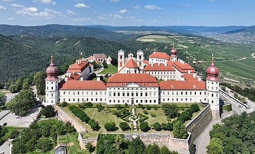
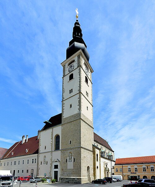 catholic cathedral
St. Pölten dome
parish church
Getting there Nearest stop or station St. Pölten Hauptbahnhof, about 6 min on foot OpenStreetMap
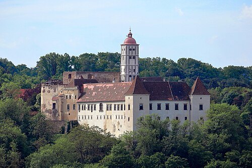
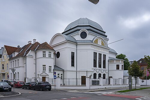 synagogue
St. Pölten synagogue
museum in Austria
Getting there Nearest stop or station St. Pölten Hauptbahnhof, about 11 min on foot OpenStreetMap
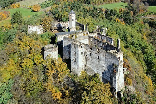
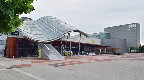 state museum
Museum Niederösterreich
museum in St. Pölten, Austria
Getting there Nearest stop or station St. Pölten Hauptbahnhof, about 16 min on foot OpenStreetMap
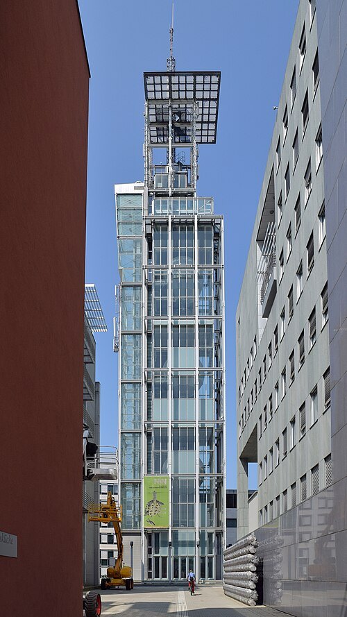 museum
Klangturm
museum in Austria
Getting there Nearest stop or station St. Pölten Hauptbahnhof, about 16 min on foot OpenStreetMap
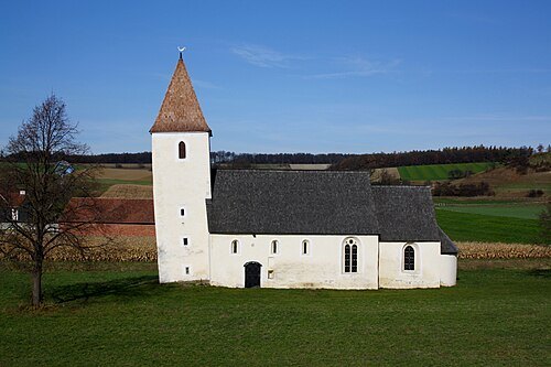 church building
Filialkirche Lanzendorf (Böheimkirchen)
church
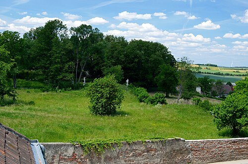 castle
Goldburg
castle ruin
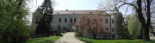 château
Schloss Baumgarten
building in Lower Austria, Austria
Getting there Nearest stop or station Ollersbach, about 14 min on foot OpenStreetMap
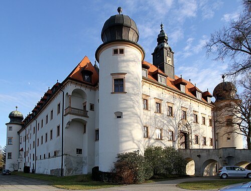
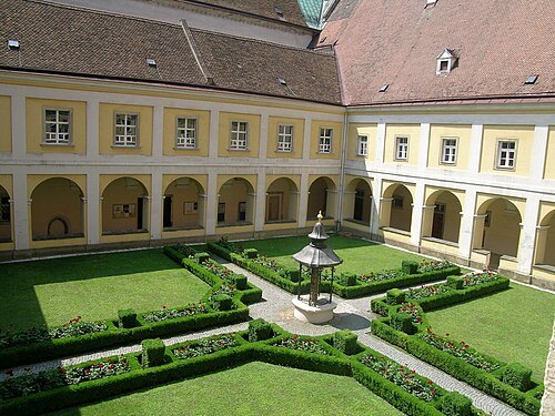
Manuela Rechberger / CC BY-SA 4.0
museumMuseum am Dom St. Pölten
museum in Lower Austria
Getting there Nearest stop or station St. Pölten Hauptbahnhof, about 5 min on foot OpenStreetMap
- theatre building
Landestheater Niederösterreich
theatre in St. Pölten, Austria
Getting there Nearest stop or station St. Pölten Hauptbahnhof, about 5 min on foot OpenStreetMap
- monastery
Franziskanerkirche
church building in St. Pölten, Austria
Getting there Nearest stop or station St. Pölten Hauptbahnhof, about 5 min on foot OpenStreetMap
- château
Schloss Pottenbrunn
building in Lower Austria, Austria
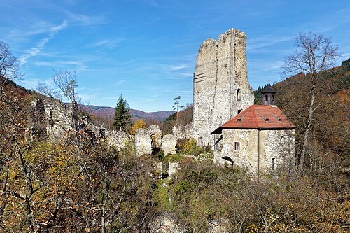 ruins
Burgruine Wolfstein, Schönbühel-Aggsbach
- château
Schloss Kreisbach
building in Lower Austria, Austria
- château
Schloss Ochsenburg
building in St. Pölten, Austria
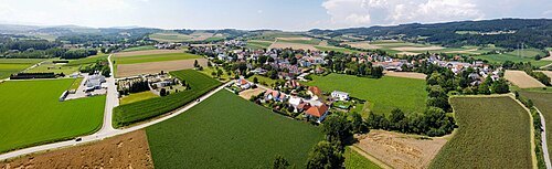
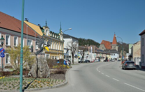 market municipality
Rabenstein an der Pielach
municipality in Sankt Pölten District, Lower Austria, Austria
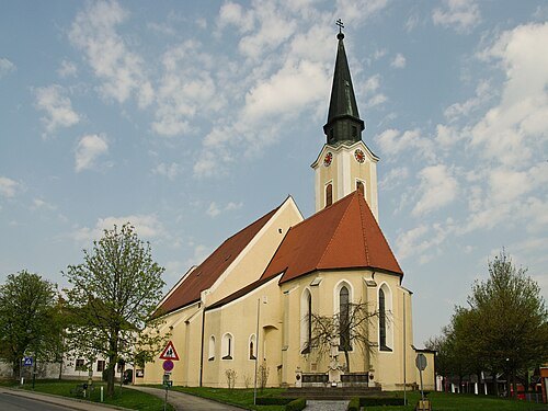
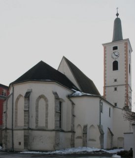 market municipality
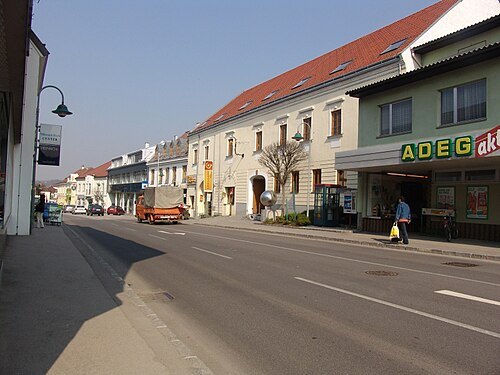
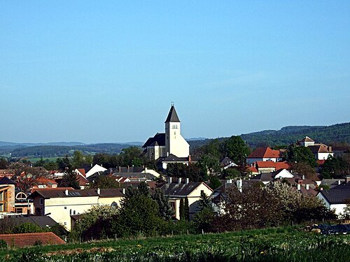
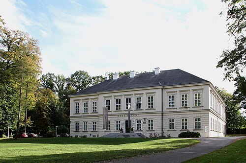
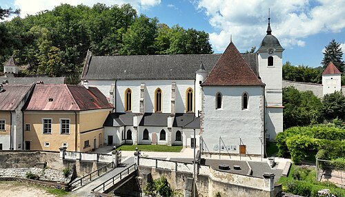
Ober-Grafendorf
municipality in Sankt Pölten District, Lower Austria, Austria
Getting there Nearest stop or station Ober Grafendorf, about 5 min on foot OpenStreetMap
 market municipality
Schönbühel-Aggsbach
municipality in Melk District, Lower Austria, Austria
Getting there Nearest stop or station Aggsbach Markt, about 13 min on foot OpenStreetMap
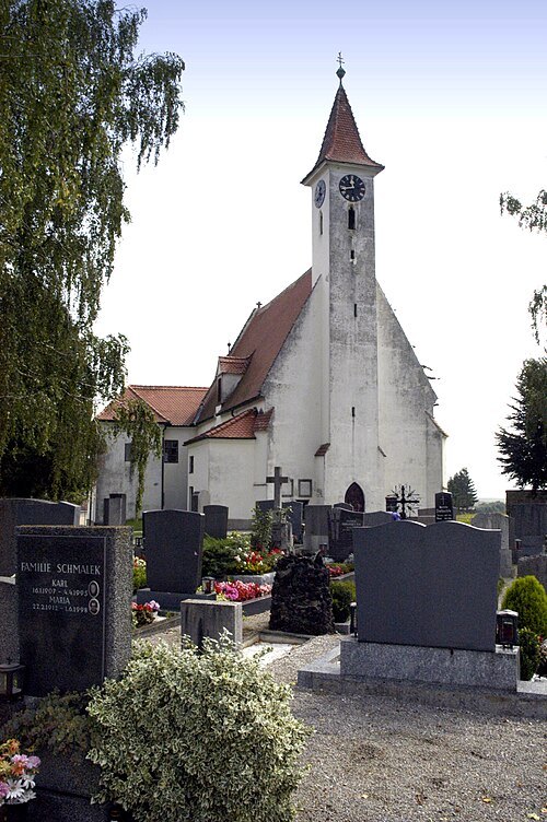
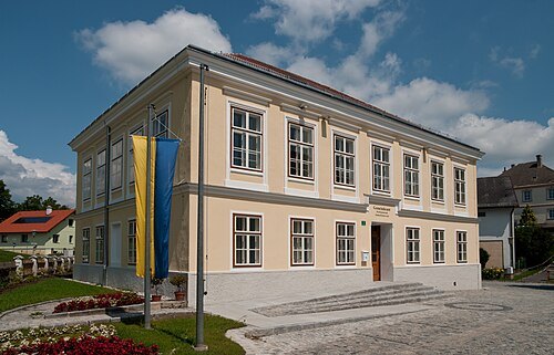
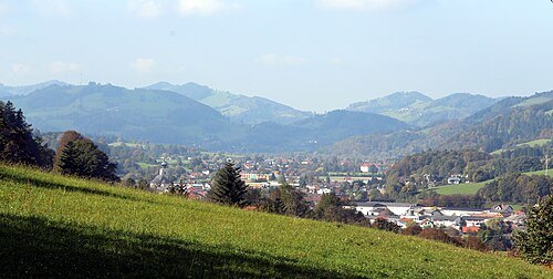 market municipality
Sankt Veit an der Gölsen
municipality in Lilienfeld District, Lower Austria, Austria
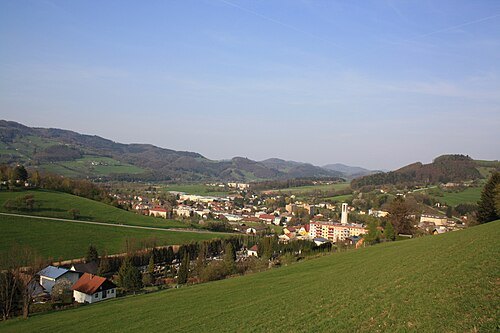
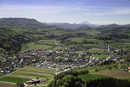
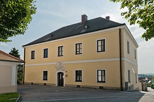
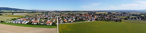 market municipality
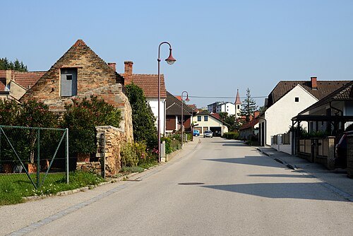
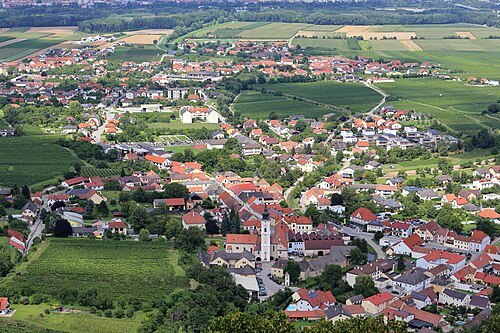
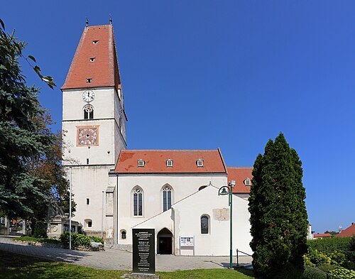
Markersdorf-Haindorf
municipality in Sankt Pölten District, Lower Austria, Austria
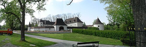
 market municipality
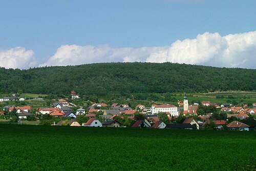
Nußdorf ob der Traisen
municipality in Sankt Pölten District, Lower Austria, Austria
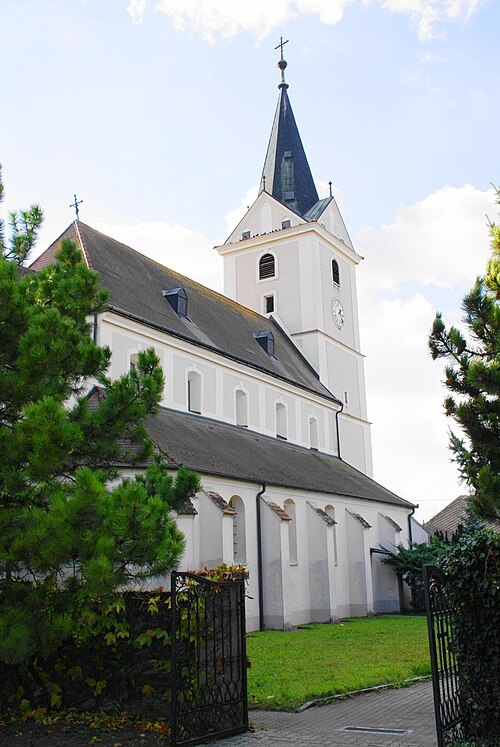
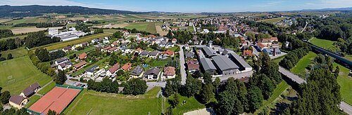
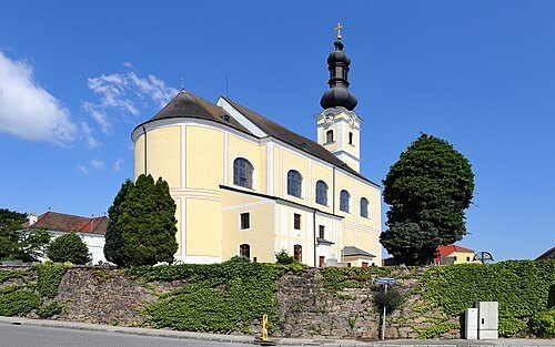
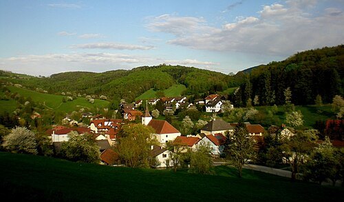
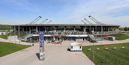 association football venue
NV Arena
football stadium located in Sankt Pölten, Lower Austria, Austria
Getting there Nearest stop or station Viehofen, about 17 min on foot OpenStreetMap
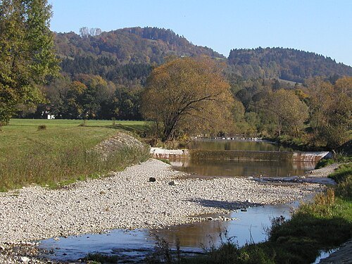
Roman Klementschitz, Wien / CC BY-SA 3.0
riverGölsen
tributary of the Traisen river in Austria
Getting there Nearest stop or station Traisen, about 19 min on foot OpenStreetMap
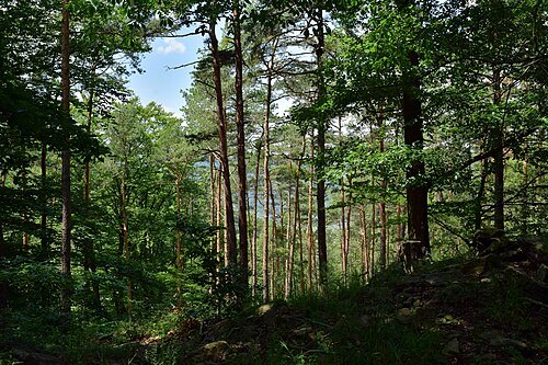
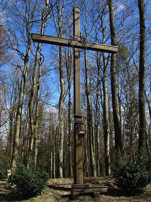 mountain
Hegerberg
mountain in Vienna Woods in Lower Austria
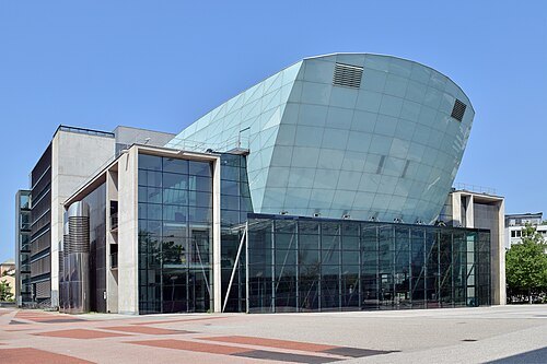 concert hall
Festspielhaus St. Pölten
theatre in St. Pölten, Austria
Getting there Nearest stop or station St. Pölten Hauptbahnhof, about 15 min on foot OpenStreetMap
- forest
Haspelwald
forest in Lower Austria


Places to eat
- restaurant
Landhausküche
Food: regional
- restaurant
Asia Restaurant Neuwelt
Food: asian
- cafe
Fröstl
Food: cake
- restaurant
Kristall
Food: pizza, turkish
- restaurant
Liu's cooking
Food: asian
Nothing here matches that. Clear a filter and try again.
Opening hours and tickets: OpenStreetMap contributors. Each one shows the day a volunteer last wrote it down, so check the official site before you set out.