Salzburg: what to see and where to eat
Everything below comes from open data and each row says where it came from. We have not been to any of these places and we do not rank them.
Filters
Things to see
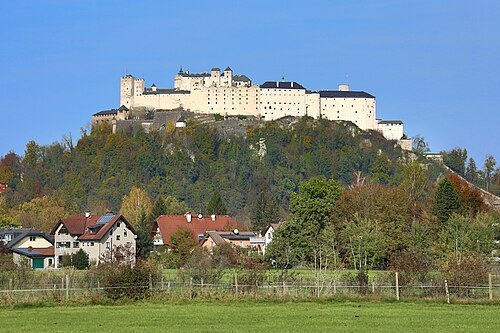 fortress
Hohensalzburg Fortress
fortress in Salzburg, Austria
Getting there Nearest stop or station Festungsbahn Bergstation, about 1 min on foot OpenStreetMap
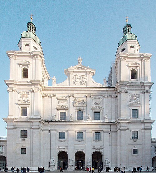
No machine-readable author provided. Sir James assumed (based on copyright claims). / CC BY-SA 3.0
catholic cathedralSalzburg Cathedral
church in Austria
Getting there Nearest stop or station Festungsbahn Talstation, about 3 min on foot OpenStreetMap
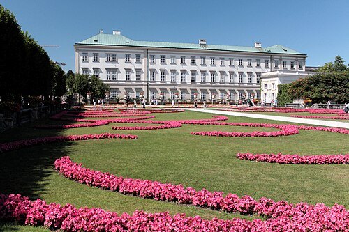
Przemek Pietrak / CC BY-SA 3.0
châteauMirabell Palace
château in Salzburg, Austria
Getting there Nearest stop or station Busterminal Paris Lodron Straße, about 4 min on foot OpenStreetMap
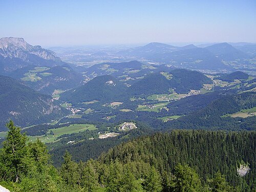
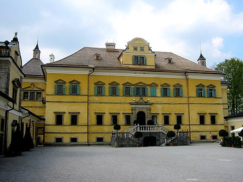
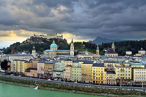
Thomas Pintaric (= Pintaric) / CC BY-SA 3.0
old townHistoric Centre of the City of Salzburg
old town of Salzburg, Austria, UNESCO World Heritage site
Getting there Nearest stop or station Festungsbahn Talstation, about 6 min on foot OpenStreetMap
- monastery
St Peter's Archabbey Salzburg
Benedictine monastery in Salzburg, Austria
Getting there Nearest stop or station Festungsbahn Talstation, about 1 min on foot OpenStreetMap
- museum
Mozart's birthplace
building and museum in Salzburg, Austria
Getting there Nearest stop or station Anlegestelle Makartsteg, about 4 min on foot OpenStreetMap
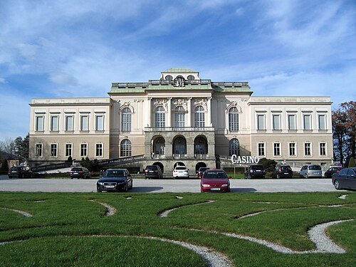
Andreas Weigel. Popmuseum at German Wikipedia / CC BY-SA 3.0
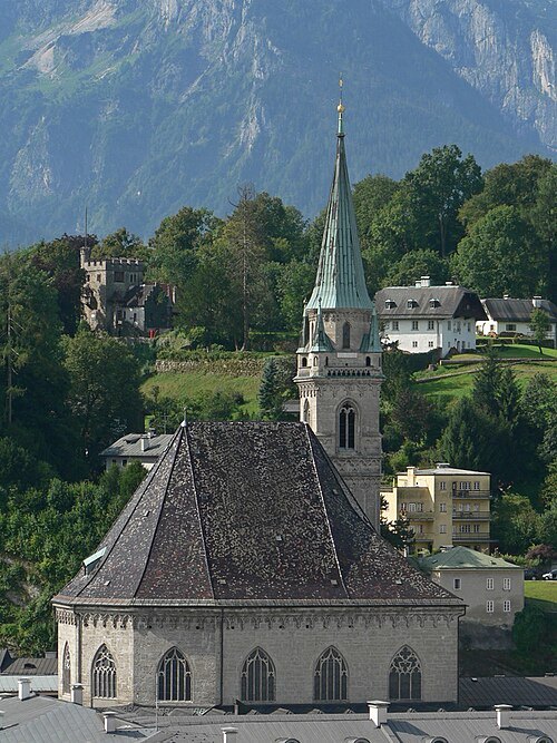 church building
Franciscan Church, Salzburg
church in Salzburg
Getting there Nearest stop or station Festungsbahn Talstation, about 4 min on foot OpenStreetMap
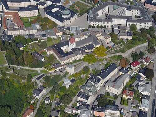 abbey
Nonnberg Abbey
Benedictine monastery in Salzburg, Austria
Getting there Nearest stop or station Busterminal Nonntal, about 5 min on foot OpenStreetMap
- parish church
Kollegienkirche, Salzburg
church building in Salzburg, Austria
Getting there Nearest stop or station Anlegestelle Makartsteg, about 5 min on foot OpenStreetMap
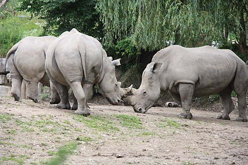 zoo
Salzburg Zoo
zoo in Austria
Getting there Nearest stop or station Elsbethen, about 20 min on foot OpenStreetMap
- opera house
Haus für Mozart
opera house in Salzburg, Austria
Getting there Nearest stop or station Festungsbahn Talstation, about 5 min on foot OpenStreetMap
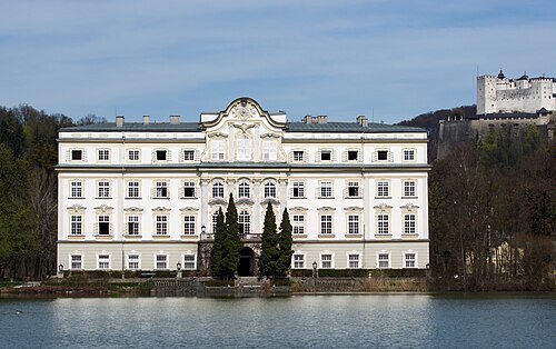 château
Schloss Leopoldskron
building in Salzburg, Austria
Getting there Nearest stop or station Festungsbahn Bergstation, about 15 min on foot OpenStreetMap
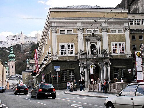 opera house
Großes Festspielhaus
opera house in Salzburg, part of the Festspielhaus theatre complex
Getting there Nearest stop or station Anlegestelle Makartsteg, about 5 min on foot OpenStreetMap
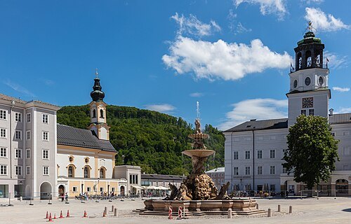 square
Residenzplatz
square in the old city of Salzburg, Austria
Getting there Nearest stop or station Festungsbahn Talstation, about 3 min on foot OpenStreetMap
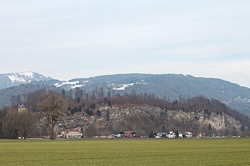 mountain
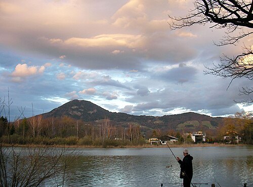
Hellbrunner Berg
mountain in the city of Salzburg
Getting there Nearest stop or station Elsbethen, about 17 min on foot OpenStreetMap
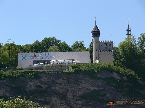
Photo: Andreas Praefcke / CC BY 3.0
art museumMuseum der Moderne Salzburg
art museum in Salzburg, Austria
Getting there Nearest stop or station Anlegestelle Makartsteg, about 4 min on foot OpenStreetMap
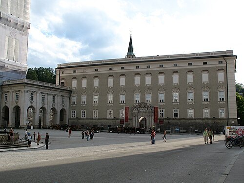 museum
Salzburg Residenz
building in Salzburg, Austria
Getting there Nearest stop or station Festungsbahn Talstation, about 3 min on foot OpenStreetMap
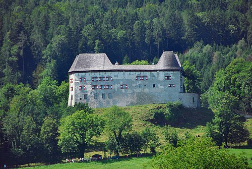 castle
Palace Staufeneck
castle
Getting there Nearest stop or station Piding, about 20 min on foot OpenStreetMap
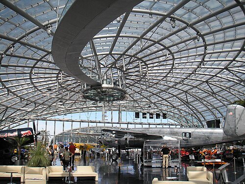 museum
Hangar-7
building at the airport in Salzburg, Austria, housing an air museum, art exhibition space, and Ikarus Restaurant
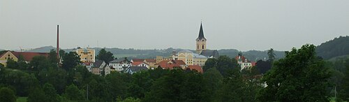
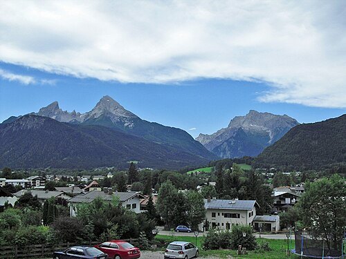
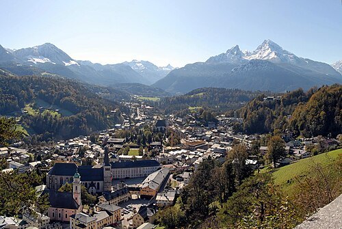 market municipality of germany
Berchtesgaden
market municipality of Germany
Getting there Nearest stop or station Obersalzbergbahn Talstation, about 3 min on foot OpenStreetMap
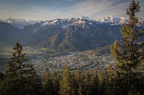
- association football venue
Red Bull Arena
sports venue in Wals-Siezenheim, Austria
Getting there Nearest stop or station Salzburg Taxham Europark, about 14 min on foot OpenStreetMap
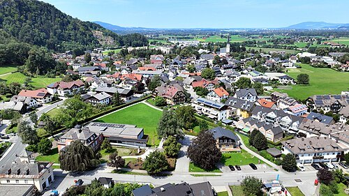
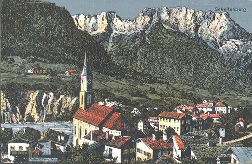 market municipality of germany
Marktschellenberg
municipality in the Upper Bavarian district of Berchtesgadener Land in Germany
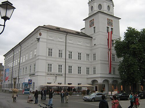 art museum
Salzburg Museum
Austrian museum in Salzburg, Austria
Getting there Nearest stop or station Festungsbahn Talstation, about 4 min on foot OpenStreetMap
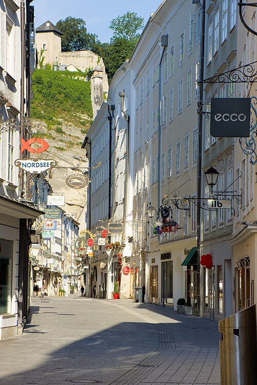 street
Getreidegasse
street in Salzburg, Austria
Getting there Nearest stop or station Anlegestelle Makartsteg, about 3 min on foot OpenStreetMap
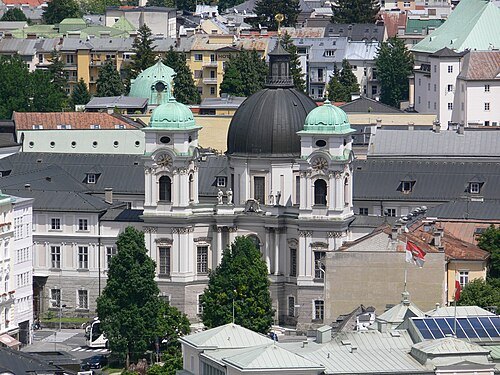
Photo: Andreas Praefcke / CC BY 3.0
church buildingChurch of the Holy Trinity, Salzburg
church
Getting there Nearest stop or station Busterminal Paris Lodron Straße, about 3 min on foot OpenStreetMap
 funicular
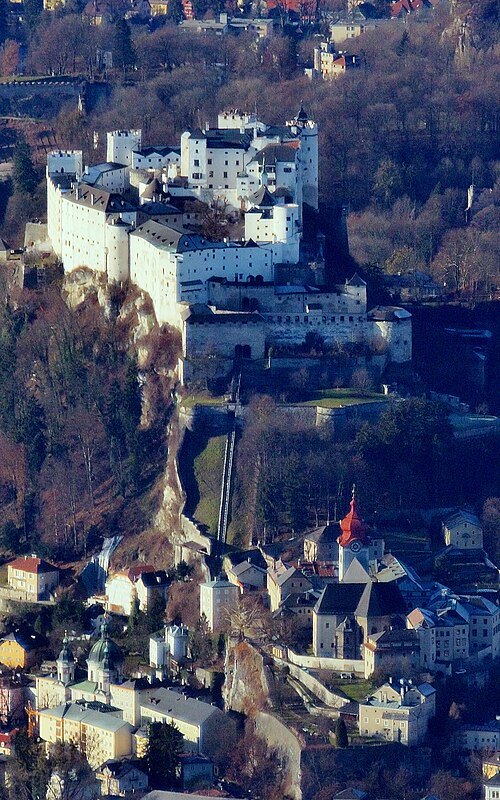
Reisszug
historic funicular railway at the Hohensalzburg Castle at Salzburg in Austria
Getting there Nearest stop or station Festungsbahn Bergstation, about 5 min on foot OpenStreetMap
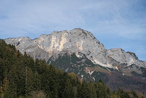
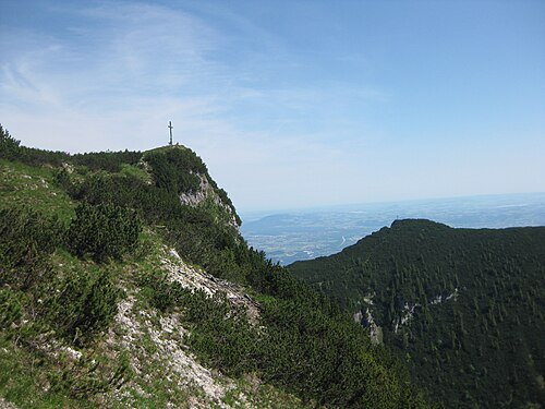
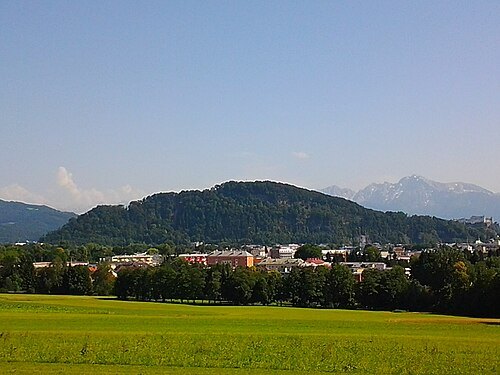 mountain
Kapuzinerberg
mountain in the city of Salzburg
Getting there Nearest stop or station Busterminal Paris Lodron Straße, about 15 min on foot OpenStreetMap
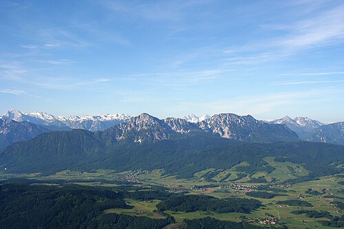
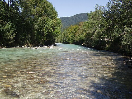
The original uploader was Gpasak at German Wikipedia. (Original text: gpasak) / CC BY-SA 3.0
riverBerchtesgadener Ache
river in Germany
Getting there Nearest stop or station Puch Urstein, about 15 min on foot OpenStreetMap
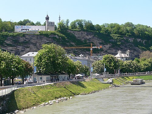
Photo: Andreas Praefcke / CC BY 3.0
mountainMönchsberg
mountain in the city of Salzburg, Austria
Getting there Nearest stop or station Festungsbahn Talstation, about 7 min on foot OpenStreetMap
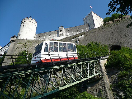 funicular
Festungsbahn
funicular railway providing public access to Hohensalzburg Castle at Salzburg, Austria
- association football venue
Lehener Stadion
football stadium
Getting there Nearest stop or station Salzburg Mülln-Altstadt, about 12 min on foot OpenStreetMap
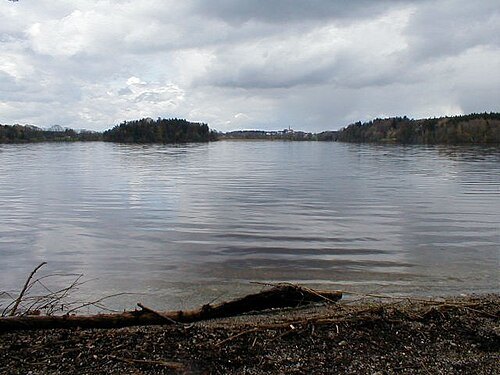
No machine-readable author provided. Gakuro assumed (based on copyright claims). / CC BY-SA 3.0
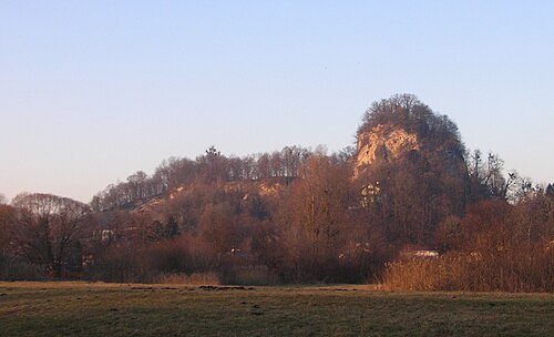 mountain
Rainberg
mountain in Austria
Getting there Nearest stop or station Festungsbahn Bergstation, about 12 min on foot OpenStreetMap
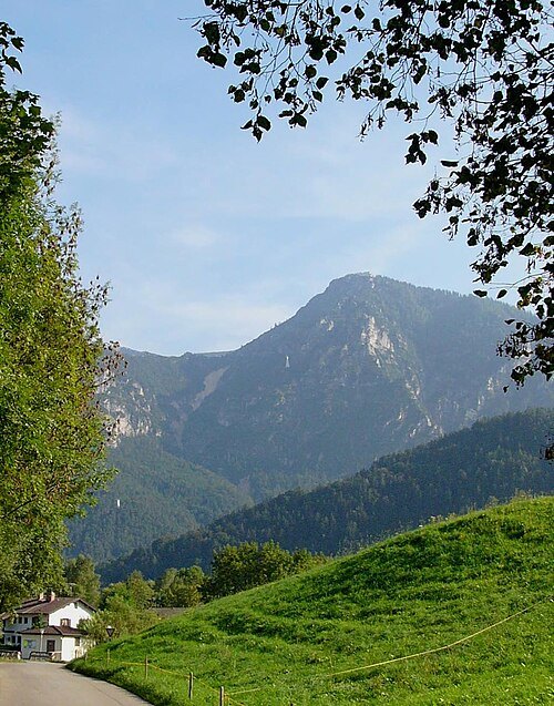
No machine-readable author provided. Nikater assumed (based on copyright claims). / CC BY-SA 3.0
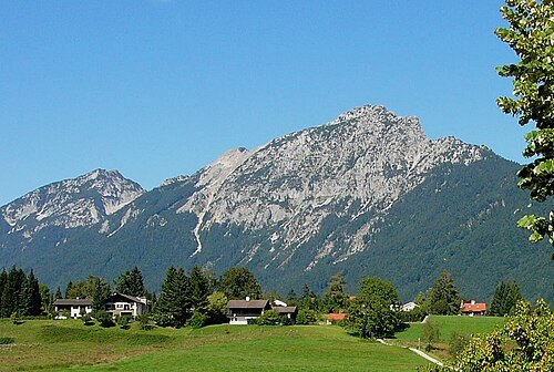
mountainPredigtstuhl
mountain in Bavaria, Germany
Getting there Nearest stop or station Predigstuhlbahn Bergstation, about 2 min on foot OpenStreetMap
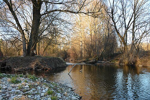
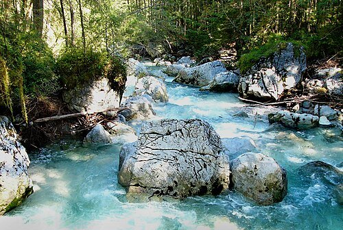 river
Ramsauer Ache
river in Germany
Getting there Nearest stop or station Berchtesgaden Hauptbahnhof, about 2 min on foot OpenStreetMap
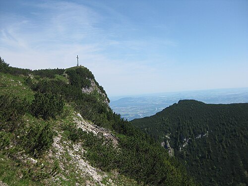
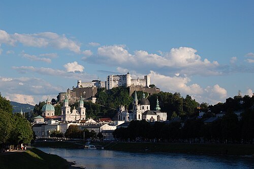 mountain
Festungsberg
mountain in the city of Salzburg
Getting there Nearest stop or station Festungsbahn Bergstation, about 2 min on foot OpenStreetMap


Places to eat
Nothing here matches that. Clear a filter and try again.
Opening hours and tickets: OpenStreetMap contributors. Each one shows the day a volunteer last wrote it down, so check the official site before you set out.