Linz: what to see and where to eat
Everything below comes from open data and each row says where it came from. We have not been to any of these places and we do not rank them.
Filters
Things to see
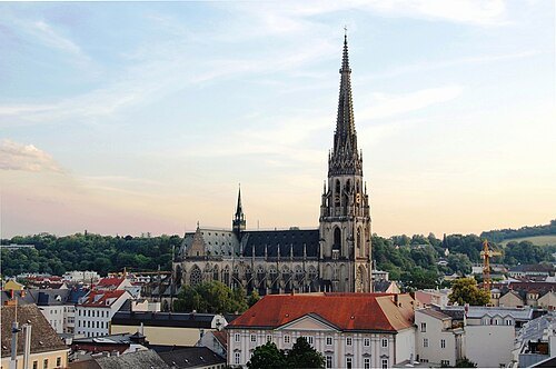
Dein Freund der Baum / CC BY-SA 3.0
parish churchNew Cathedral, Linz
cathedral in Linz, Austria
Getting there Nearest stop or station Landing place Linz - Castle, about 12 min on foot OpenStreetMap
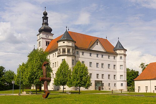
Liberaler Humanist / CC BY-SA 3.0
châteauSchloss Hartheim
castle at Alkoven in Upper Austria
Getting there Nearest stop or station Alkoven, about 12 min on foot OpenStreetMap
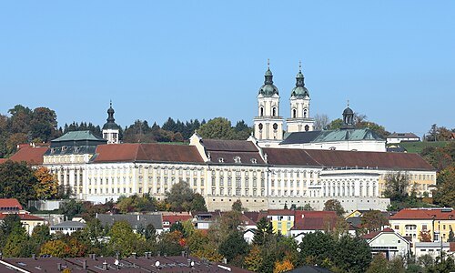
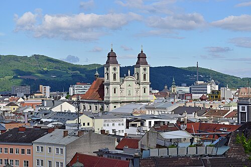 cathedral
Old Cathedral, Linz
cathedral
Getting there Nearest stop or station Landing place Linz - Lentos Museum, about 5 min on foot OpenStreetMap
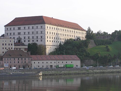
User:NeoUrfahraner / CC BY-SA 3.0
châteauLinz Palace
Castle in Linz, Upper Austria
Getting there Nearest stop or station Landing place Linz - Castle, about 4 min on foot OpenStreetMap
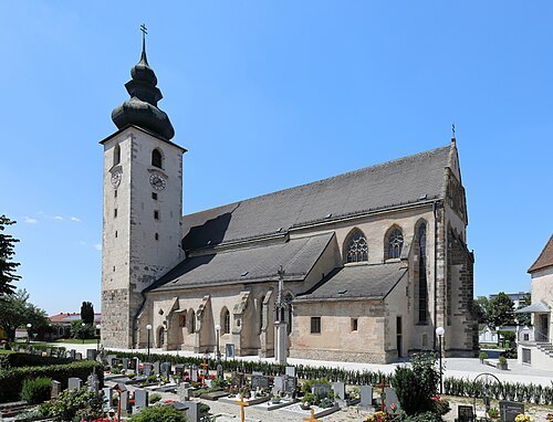
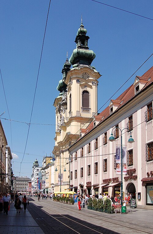
Michael Kranewitter, Vienna / CC BY 2.5
church buildingUrsuline Church of St. Michael
church building in Upper Austria, Austria
Getting there Nearest stop or station Landing place Linz - Lentos Museum, about 10 min on foot OpenStreetMap
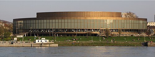 concert hall
Brucknerhaus
concert hall in Linz, Upper Austria
Getting there Nearest stop or station Anlegestelle Linz MS Primadonna - Donau Touristik, about 5 min on foot OpenStreetMap
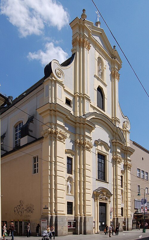
Michael Kranewitter, Vienna / CC BY 2.5
monasteryKarmeliterkirche Sankt Josef (Linz)
church building in Upper Austria, Austria
Getting there Nearest stop or station Landing place Linz - Lentos Museum, about 11 min on foot OpenStreetMap
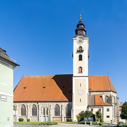
Radler59 (talk) / CC BY-SA 4.0
church buildingparish church in Eferding
church building in Eferding, Austria
Getting there Nearest stop or station Bahnhof Eferding, about 16 min on foot OpenStreetMap
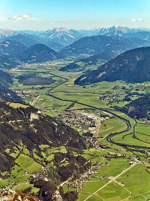
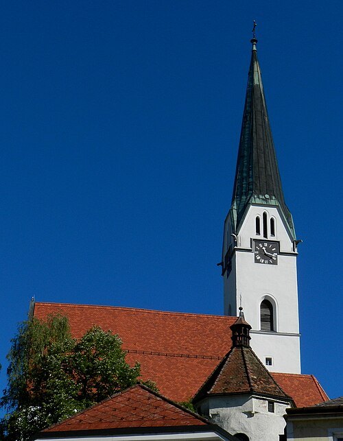
- market municipality
Ottensheim
municipality in Urfahr-Umgebung District, Upper Austria, Austria
Getting there Nearest stop or station Donaubus, about 4 min on foot OpenStreetMap
 market municipality
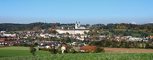
Wilhering
municipality in Linz-Land District, Upper Austria, Austria
Getting there Nearest stop or station Ottensheimer Drahtseilbrücke, about 19 min on foot OpenStreetMap
Martin Windischhofer / Public domain
market municipalityHagenberg im Mühlkreis
municipality in Freistadt District, Upper Austria, Austria
Getting there Nearest stop or station Pregarten, about 14 min on foot OpenStreetMap
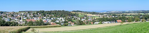
- market municipality
Altenberg bei Linz
municipality in Urfahr-Umgebung District, Upper Austria, Austria
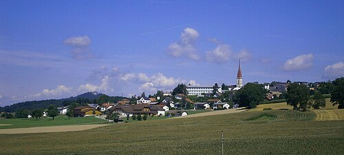
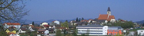
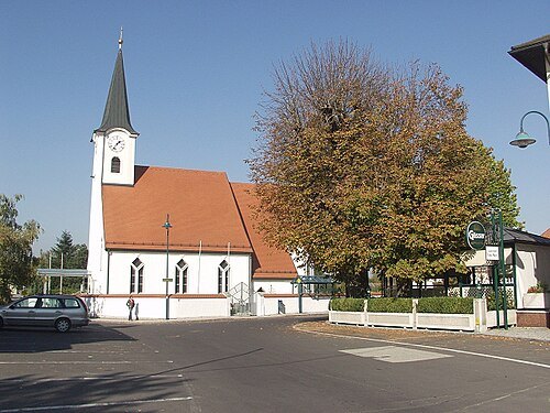
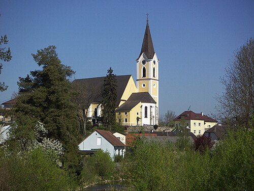
Rudolf A. Haunschmied / CC BY 2.5
market municipalitySankt Georgen an der Gusen
municipality in Perg District, Upper Austria, Austria
Getting there Nearest stop or station St. Georgen an der Gusen, about 14 min on foot OpenStreetMap
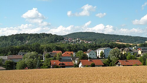
- market municipality
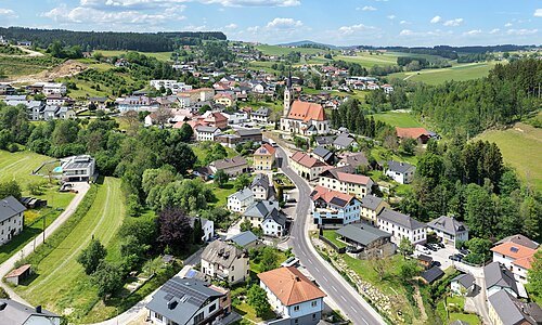
Zwettl an der Rodl
municipality in Urfahr-Umgebung District, Upper Austria, Austria
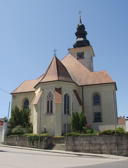
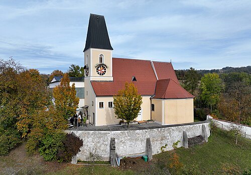
 market municipality
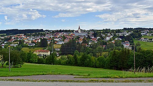
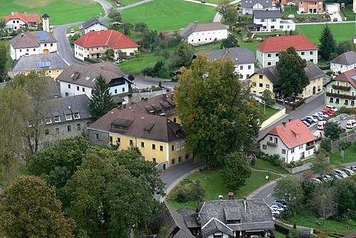
Reichenau im Mühlkreis
municipality in Urfahr-Umgebung District, Upper Austria, Austria
Wolfgang Sauber / CC BY-SA 3.0
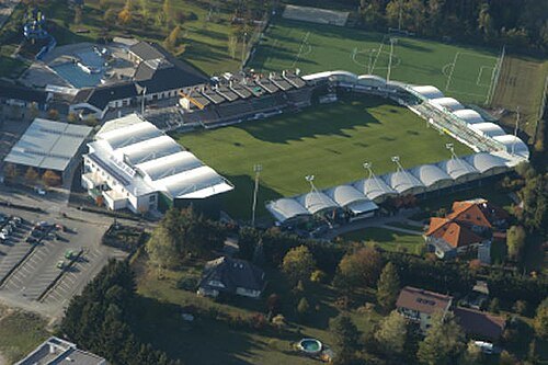
market municipalityOberneukirchen
municipality in Urfahr-Umgebung District, Upper Austria, Austria
Getting there Nearest stop or station Ausstieg, about 5 min on foot OpenStreetMap
- art museum
Führermuseum
unrealized art museum planned by Adolf Hitler
Getting there Nearest stop or station Linz main station, about 1 min on foot OpenStreetMap
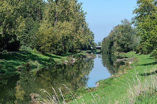
- association football venue
Linzer Stadion
football stadium
Getting there Nearest stop or station Linz Hauptbahnhof, about 18 min on foot OpenStreetMap
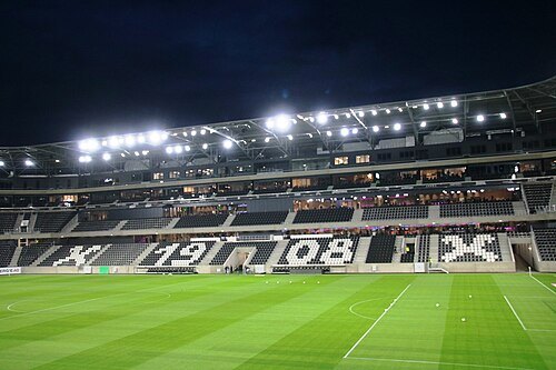 association football venue
Raiffeisen Arena
football stadium in Linz, Upper Australia
Getting there Nearest stop or station Linz Hauptbahnhof, about 18 min on foot OpenStreetMap
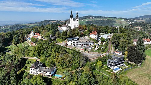
- art museum
Lentos Art Museum
art museum in Upper Austria, successor to the Neuen Galerie der Stadt Linz
Getting there Nearest stop or station Landing place Linz - Brucknerhaus, about 2 min on foot OpenStreetMap
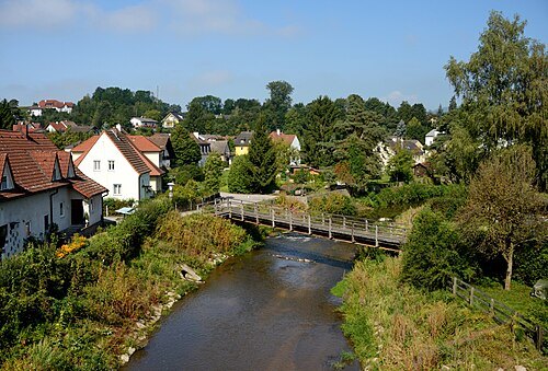
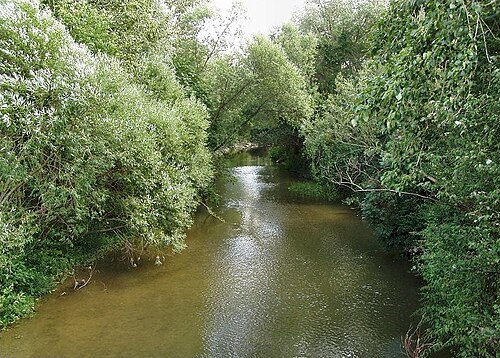
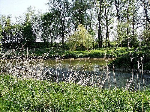
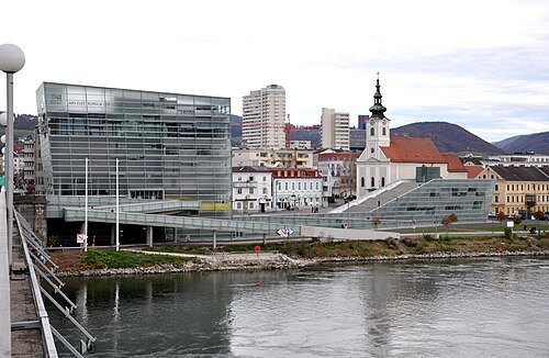
Photo: Andreas Praefcke / CC BY 3.0
art museumArs Electronica Center
museum in Austria
Getting there Nearest stop or station Landing place Linz - Lentos Museum, about 4 min on foot OpenStreetMap
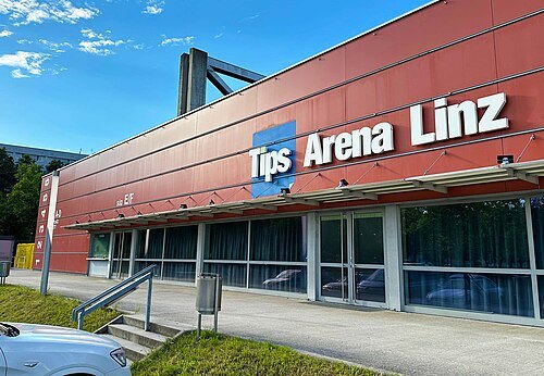 sports venue
TipsArena Linz
building in Linz, Austria
Getting there Nearest stop or station Linz Hauptbahnhof, about 18 min on foot OpenStreetMap
- association football venue
Donauparkstadion
stadium in Linz, Austria
Getting there Nearest stop or station Anlegestelle MS Primadonna Linz - Donau Touristik, about 13 min on foot OpenStreetMap
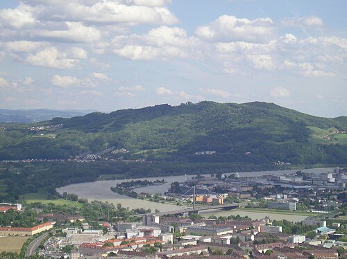 mountain
Pfenningberg
mountain in Upper Austria east of Linz
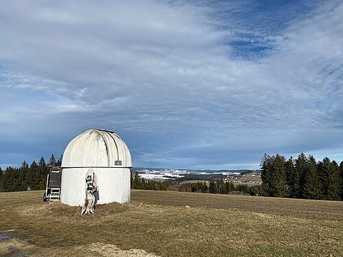
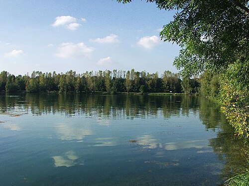
The original uploader was Dergreg: at German Wikipedia. / CC BY 2.0
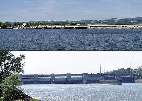
Gerhard Anzinger, Wels / CC BY-SA 3.0
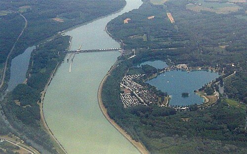
run-of-river hydroelectric power stationOttensheim-Wilhering power station
power station in Upper Austria, Austria
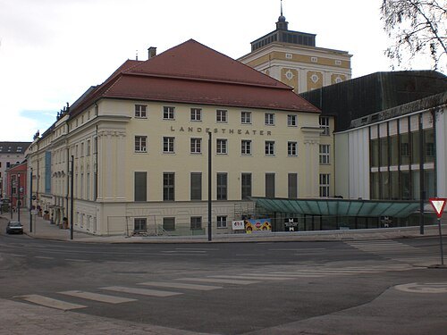 theatre company
Linz State Theatre
theatre in the Austria city of Linz
Getting there Nearest stop or station Landing place Linz - Castle, about 6 min on foot OpenStreetMap
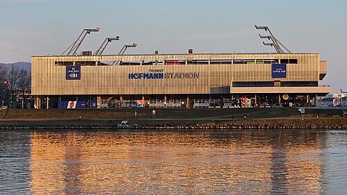 stadium
Hofmann Personal Stadion
Getting there Nearest stop or station Anlegestelle MS Primadonna Linz - Donau Touristik, about 12 min on foot OpenStreetMap
- river
Rodl River
river in Austria
Getting there Nearest stop or station Ottensheimer Drahtseilbrücke, about 8 min on foot OpenStreetMap
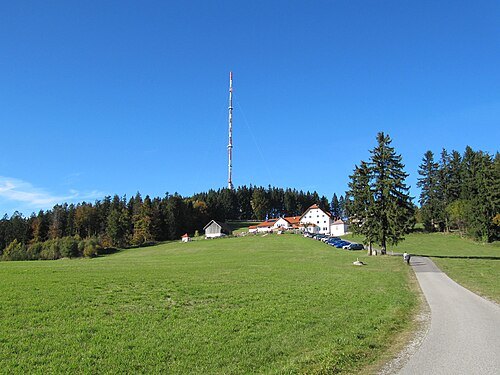 mountain
Gis
mountain in Upper Austria
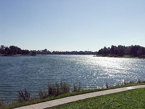
The original uploader was Dergreg: at German Wikipedia. / CC BY-SA 3.0
The original uploader was Dergreg: at German Wikipedia. / CC BY-SA 3.0


Places to eat
No eating place in this city lists its cuisine and opening hours yet.
Nothing here matches that. Clear a filter and try again.
Opening hours and tickets: OpenStreetMap contributors. Each one shows the day a volunteer last wrote it down, so check the official site before you set out.